The best road cycling routes in Gilpin County
4.5
(7)
1,149
riders
27
rides
Road cycling routes in Gilpin County traverse a mountainous landscape characterized by significant elevation gains and diverse terrain. The region features scenic byways, dense pine forests, and alpine meadows, offering challenging climbs and descents. Cyclists can expect routes that navigate through public lands, including portions of the Peak to Peak Scenic Byway and Golden Gate Canyon State Park. The area's geography provides a robust environment for road cycling, with many routes featuring substantial changes in altitude.
Best road cycling routes…
Last updated: July 7, 2026
5.0
(1)
258
riders
93.9km
05:57
2,460m
2,460m
The Mount Blue Sky (Evans) to Juniper and Mestaa'Ėhehe Passes loop is a high-octane gravel cycling route that plunges you into Colorado's alpine heart. You'll traverse diverse terrain, from open…
5.0
(1)
241
riders
88.5km
05:04
2,090m
2,090m
The Idaho Springs to Mount Blue Sky (Evans) Summit cycling route is an iconic climb, taking you from the historic town through diverse ecosystems to the highest paved road in…

Sign up for free
45
riders
86.1km
04:48
1,800m
1,810m
Experience a difficult 53.5-mile road cycling route through Golden Gate Canyon State Park, featuring stunning mountain views and challenging
44
riders
76.4km
04:01
1,400m
1,400m
The Idaho Springs to Guanella Pass Summit road cycling route is a true Colorado classic, offering a journey from a historic mining town through dense forests to exposed alpine tundra.…
42
riders
44.5km
02:03
510m
510m
The Clear Creek Greenway offers a delightful road cycling experience, tracing the Clear Creek through a landscape that shifts from natural riverine beauty to the quaint, historic streets of Colorado's…
45
riders
52.4km
02:59
1,210m
1,210m
The Idaho Springs to Juniper Pass via Echo Lake road cycling route is a challenging ascent through the heart of the Rocky Mountains, offering a continuous climb that rewards with…
12
riders
This difficult 30.8-mile gravel cycling loop from Idaho Springs climbs 3724 feet to Mestaa'Ėhehe Pass with stunning Rocky Mountain views.
9
riders
44.7km
02:41
940m
940m
Challenging 27.8-mile road cycling route from Black Hawk to Los Lagos Reservoirs with 3087 feet of elevation gain.
9
riders
38.8km
02:17
890m
890m
The Idaho Springs to Silver Lake and Lake Quivira road cycling route offers a truly immersive high-alpine experience, winding through the dramatic Rocky Mountain landscape. You'll climb through dense forests…
16.6km
00:56
340m
340m
Moderate 10.3-mile road cycling route to Los Lagos Reservoirs in Roosevelt National Forest, featuring mountain views and serene lakes.
Get access to more routes and recommendations from other explorers.
Sign up for free
Already have an account?
Our route recommendations are based on thousands of hikes, rides, and runs completed by other people on komoot.
Start today with a free account
Your next adventure awaits.
Login or Signup
Popular around Gilpin County
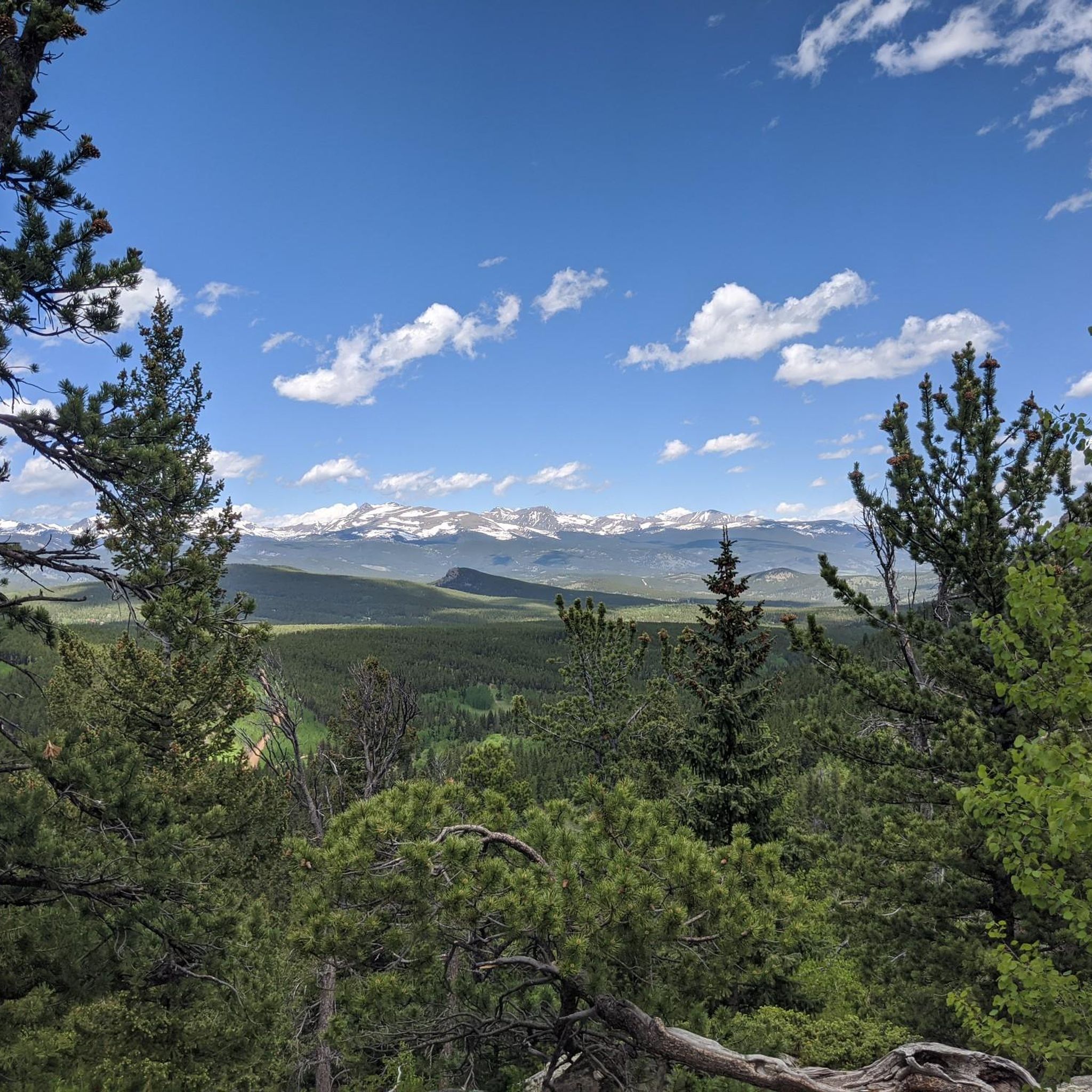
Road Cycling Routes around Black Hawk
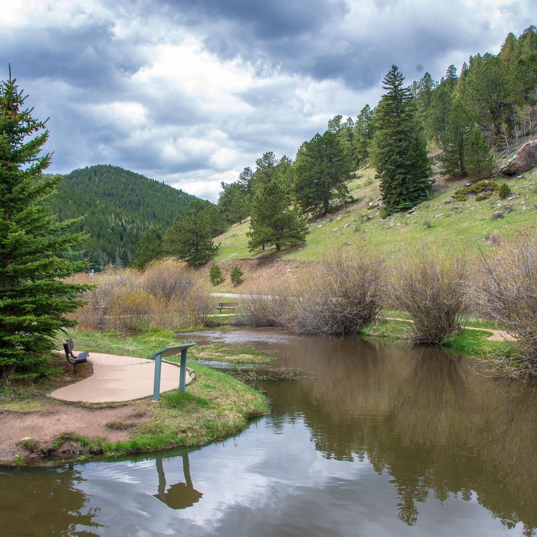
Road Cycling Routes in Golden Gate Canyon State Park Green Ranch
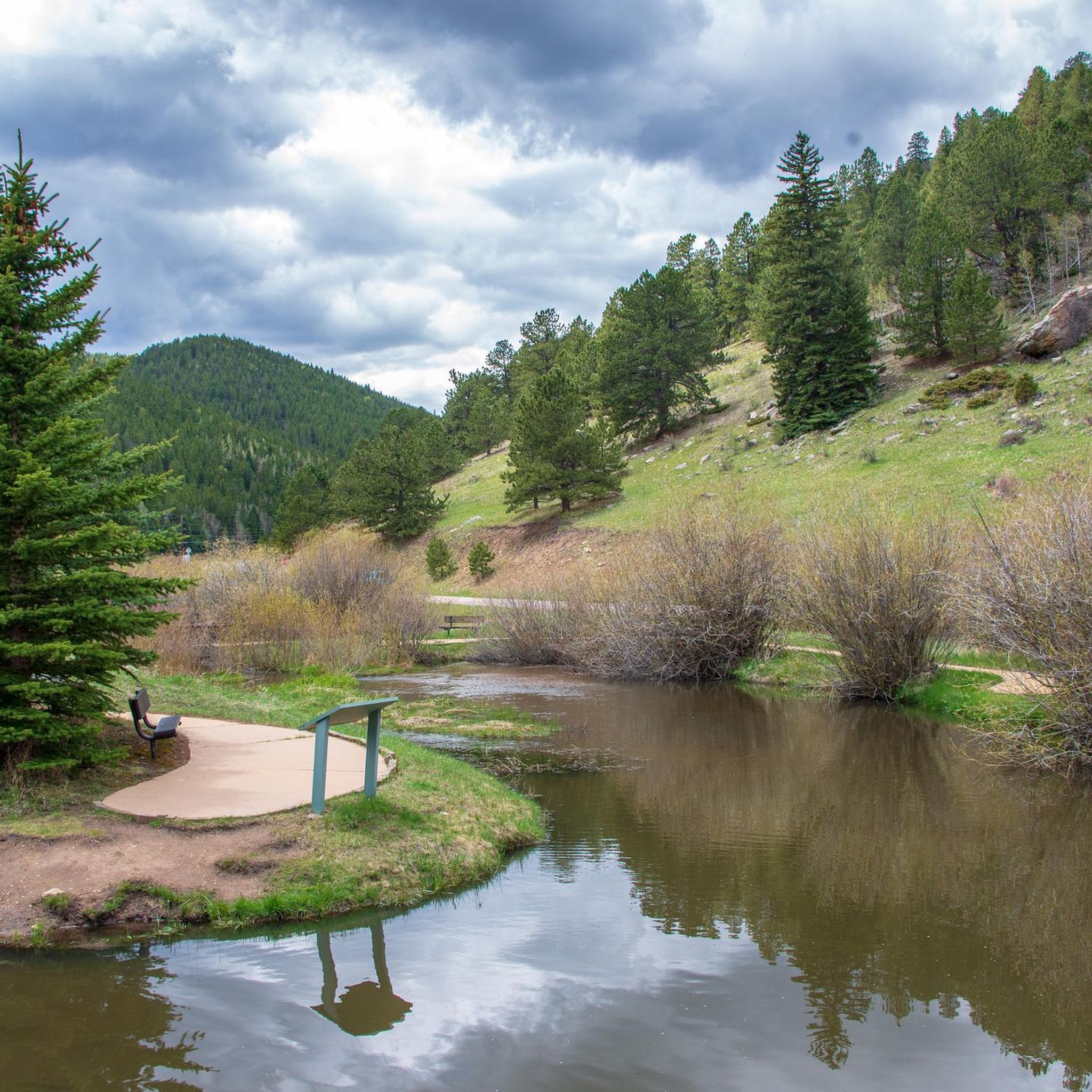
Road Cycling Routes in Golden Gate Canyon State Park
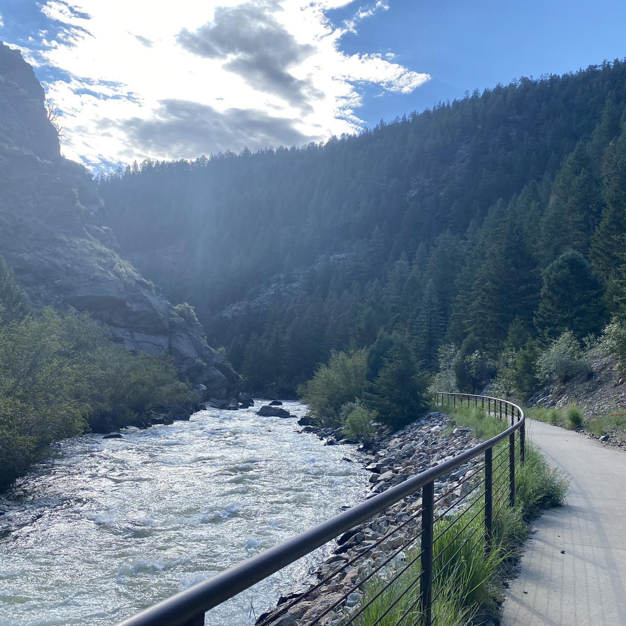
Road Cycling Routes around Central City
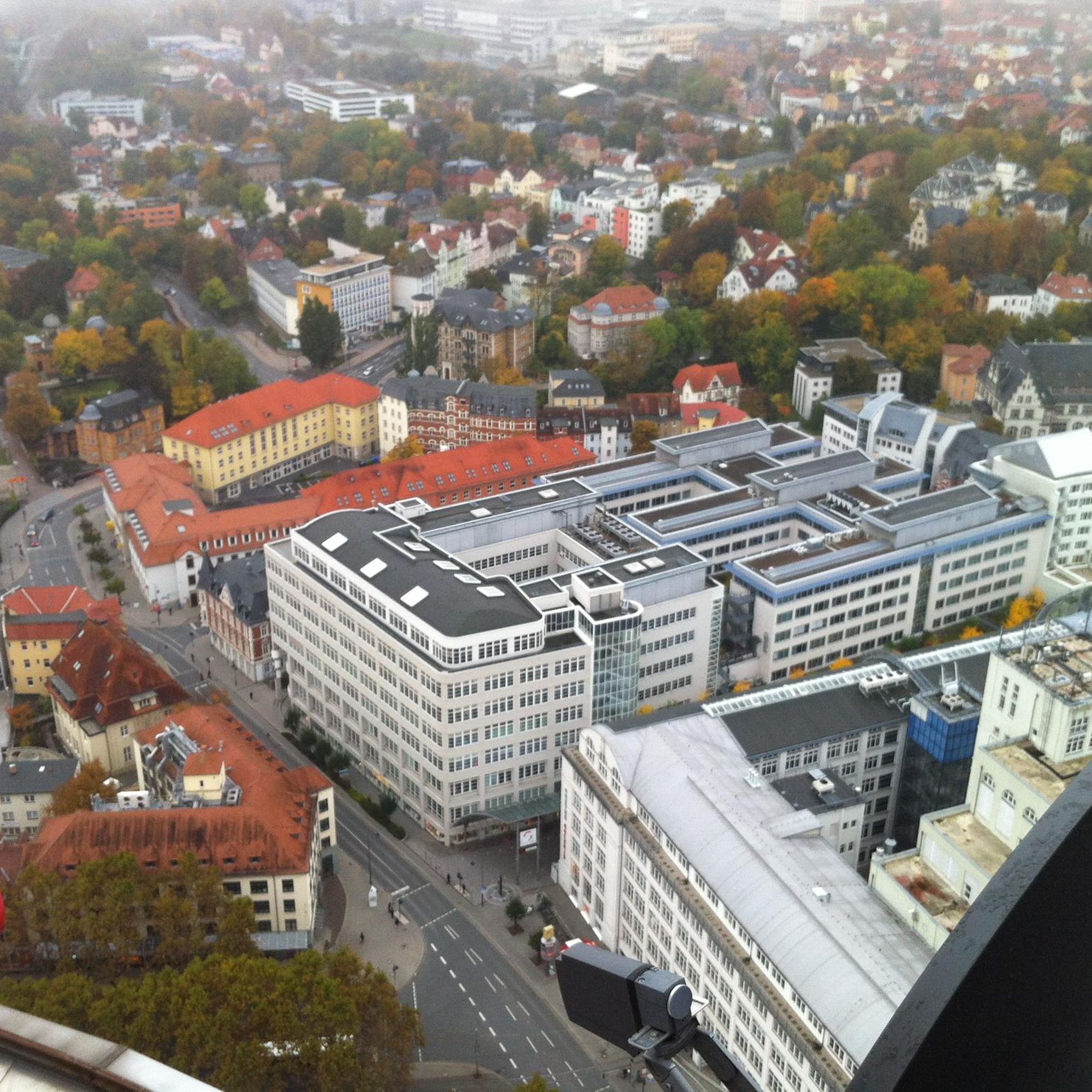
Road Cycling Routes around Rollinsville
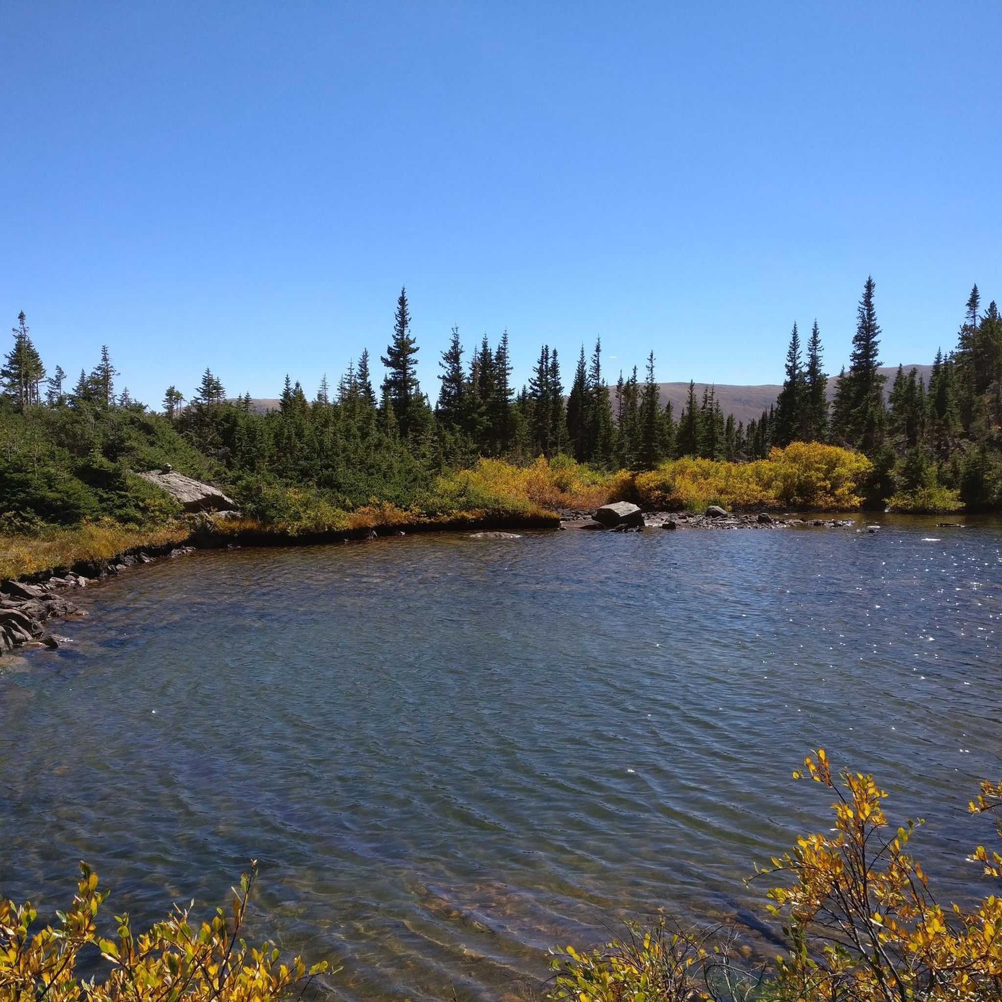
Road Cycling Routes in James Peak Wilderness
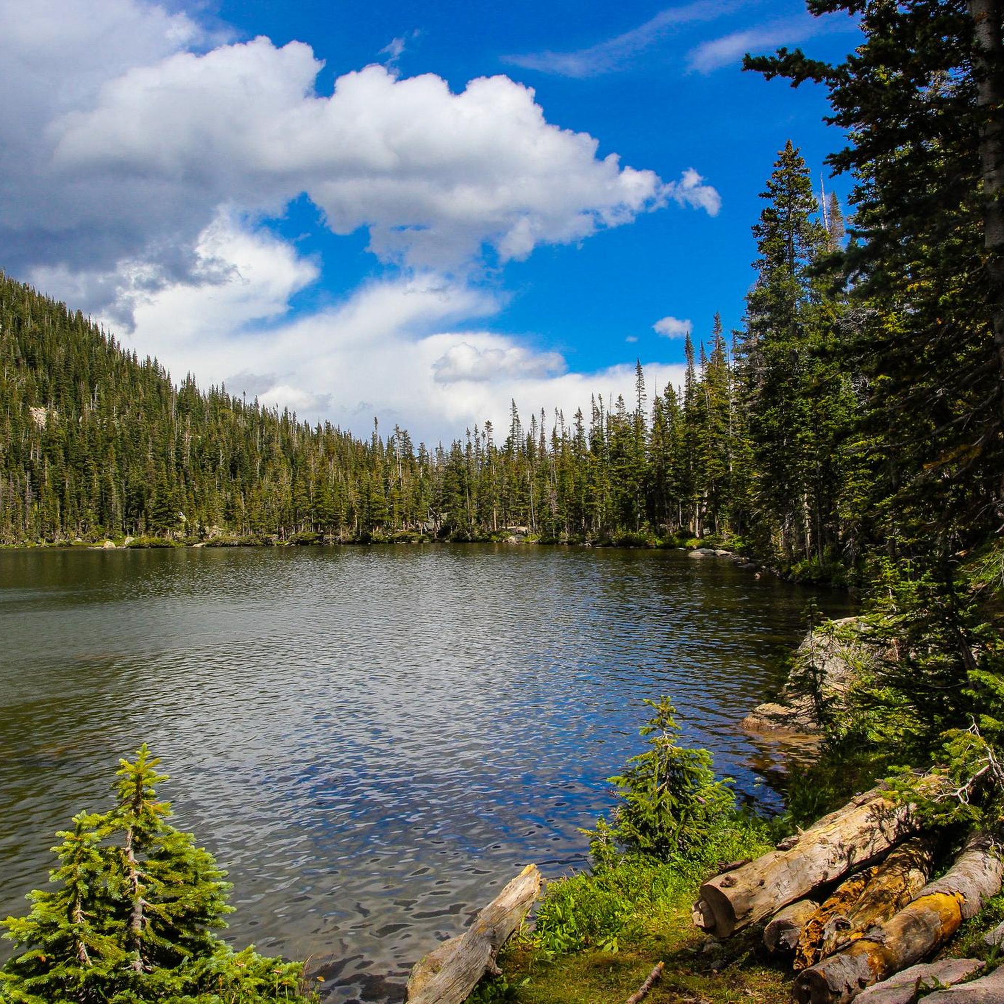
Hiking in Gilpin County
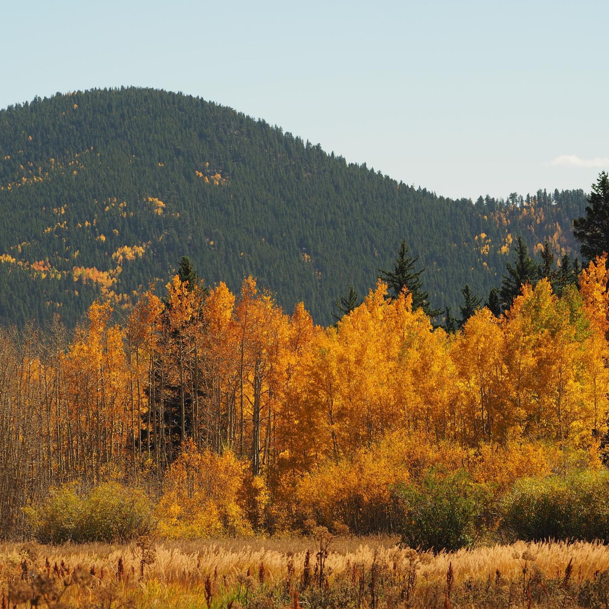
Cycling in Gilpin County
Running Trails in Gilpin County
MTB Trails in Gilpin County
Tips from the Community

Has been a good ride through some of the winter weeks but cold in places.
0
0


This high alpine lake is quite the view and a destination for many. **If you plan on parking here to hike Mt. Evans, a reservation is required to park at Summit Lake and must be purchased through recreation.gov PRIOR to the day of your hike. It's $7. All specific and important info can be found at: recreation.gov/timed-entry/10087438
0
0

Embarking on the ascent of Mount Blue Sky (formerly Mount Evans) is must-do for any cyclist looking for a high altitude challenge. The road up to the summit, which is at 14,130 feet above sea level, is the highest paved road in North America, so as you ride up this epic switchbacking road, keep an eye on how you feel because many experience altitude sickness at these elevations. The summit parking lot is a great place to rest, take photos, and enjoy the views before heading back down the road, which demands vigilance. There are no guardrails, little to no shoulder, and steep drops along the road so please be aware as you begin your descent.
0
0
This section of Little Bear Creek Road from the summit of Mestaa'Ėhehe pass to just before series of tight switchbacks is a fun, smooth gravel road that is doable on a road bike. If descending and not feeling the switchbacks, you can take a sharp right, then a left on to Old Little Bear Creek Road (a slightly less well-graded gravel road) that is more straight for some fun, fast descending.
0
0
Idaho Springs, Colorado, is a small former mining town just off of I-70. This is a great place for hikers, cyclists, and trail runners to start or end an outdoor adventure; with its blend of history, local shops and restaurants, and natural beauty this is a must-stop for anyone visiting Colorado.
0
0

Georgetown was founded in 1859 during the Colorado Gold Rush by George and David Griffith, two prospectors from Kentucky. After 1864, gold and silver ore was mined in countless mines around Georgetown. The town was not a mining camp, but a center for the ore miners and prospectors. Today, the town has a really nice atmosphere and you can still take a ride with the old steam train. There is also a very nice brewery at the north end of the town
0
0
Mestaa'Ėhehe Pass (formerally Squ*w Pass) Summit is located at just over 9,800 feet. This is a popular area for cyclists in the summer time as the temperatures are significantly cooler than in Denver. This also marks the spot where most typically finish the bulk of their climbing. If you are heading back to Idaho Springs or Denver, it's mostly downhill with some great descending.
0
0
Frequently Asked Questions
How many road cycling routes are available in Gilpin County?
Gilpin County offers a robust selection of road cycling routes, with over 25 tours available on komoot. These routes cater to various skill levels, including moderate and difficult options, ensuring there's a ride for every cyclist.
What kind of terrain and elevation changes can I expect on road cycling routes in Gilpin County?
Road cycling in Gilpin County is characterized by its mountainous terrain, featuring significant elevation gains and descents. You'll encounter routes through dense pine forests, vibrant aspen groves, and expansive alpine meadows. While many routes are well-paved, some challenging options may include unpaved or difficult segments, occasionally requiring riders to push their bikes. Be prepared for substantial changes in altitude throughout the county.
Are there any easier or moderate road cycling routes in Gilpin County?
Yes, while Gilpin County is known for its challenging climbs, there are options for moderate touring. For instance, the Clear Creek Greenway is a moderate route offering scenic views with less extreme elevation changes. You can also find other moderate routes like Idaho Springs to Silver Lake and Lake Quivira and Blue Spruce Road to Los Lagos Reservoirs.
What are some of the most challenging road cycling routes in Gilpin County?
For experienced cyclists seeking a challenge, Gilpin County offers several demanding routes. The Mount Blue Sky (Evans) to Juniper and Mestaa'Ėhehe Passes loop is a difficult 58.3-mile route with high-elevation passes. Another top choice is the Idaho Springs to Mount Blue Sky (Evans) Summit, a difficult 55.0-mile path involving a substantial ascent to a high mountain summit. The Golden Gate Canyon State Park route also presents challenging climbs over 53.5 miles.
What is the best time of year for road cycling in Gilpin County?
Given the mountainous terrain and high elevations, the best time for road cycling in Gilpin County is typically during the warmer months, from late spring through early fall. Summer offers the most favorable conditions, minimizing snow and ice at higher altitudes and providing pleasant temperatures for long rides. Always check local weather and road conditions before heading out, especially for routes that reach high passes.
Are there any scenic viewpoints or natural features to see along the road cycling routes?
Gilpin County is rich in natural beauty. Many routes offer stunning views of the Continental Divide and access to areas within the Arapaho and Roosevelt National Forests. You can find viewpoints like Panorama Point and a View of Rocky Mountain National Park. Natural features include James Peak, as well as serene lakes such as Little Echo Lake, Forest Lake #2, and Lower Forest Lake.
What historical landmarks can I explore while road cycling in Gilpin County?
Gilpin County has a rich gold rush history. You can explore the historic mining towns of Black Hawk and Central City, which are part of a National Historic Landmark District. Along some routes, you might encounter historical sites such as John Frazer's Cabin, offering a glimpse into the area's past.
Are there any loop road cycling routes in Gilpin County?
Yes, Gilpin County features several excellent loop routes for road cyclists. A notable example is the Mount Blue Sky (Evans) to Juniper and Mestaa'Ėhehe Passes loop, which provides a comprehensive tour of high-elevation passes. Another option is the Little Bear Creek Road to Mestaa'Ėhehe Pass and Colorado 103 loop from Idaho Springs.
What do other road cyclists enjoy most about road cycling in Gilpin County?
The road cycling routes in Gilpin County are highly rated by the komoot community, with an average score of 4.4 stars from over 7 reviews. Cyclists often praise the challenging mountainous terrain, the stunning scenic byways like the Peak to Peak Scenic Byway, and the immersive experience of riding through dense pine forests and alpine meadows.
Is the Peak to Peak Scenic Byway suitable for road cycling?
The Peak to Peak Scenic Byway traverses Gilpin County and is a popular route for cyclists, offering breathtaking views of the Continental Divide and significant elevation gains. While portions of the highway are shared with cars, some sections provide wide enough shoulders for cycling. For more information on the byway, you can visit the official Colorado Department of Transportation website.
Are there opportunities to see wildlife while cycling in Gilpin County?
Yes, Gilpin County is rich in wildlife. Cyclists often report sightings of moose, elk, deer, coyotes, and foxes. While less common, bobcats and mountain lions are also present in the region. Riding through areas like Golden Gate Canyon State Park and the Arapaho and Roosevelt National Forests increases your chances of encountering local fauna.
Where can I find parking for road cycling routes in Gilpin County?
Parking availability varies by route and trailhead. Many state parks, such as Golden Gate Canyon State Park, offer designated parking areas for visitors. For routes starting in towns like Idaho Springs, Black Hawk, or Central City, you may find public parking lots. It's advisable to check specific route details or local town information for the most convenient parking options.
Most popular routes in Gilpin County
Most popular attractions in Gilpin County

Get inspired with the komoot mobile app


Didn’t find what you were looking for?
Check out more Road cycling routes throughout Gilpin County below and find the perfect route in your destination.
Explore more
Browse the best Road cycling routes in other regions.
