Routes

Planner

Features

Updates

App

Login or Signup

Get the App

Login or Signup

Routes
Hikes
United States
New Hampshire

Hillsborough County

The best walks and hikes in Hillsborough County

4.7

(115)

1,802

hikers

165

hikes

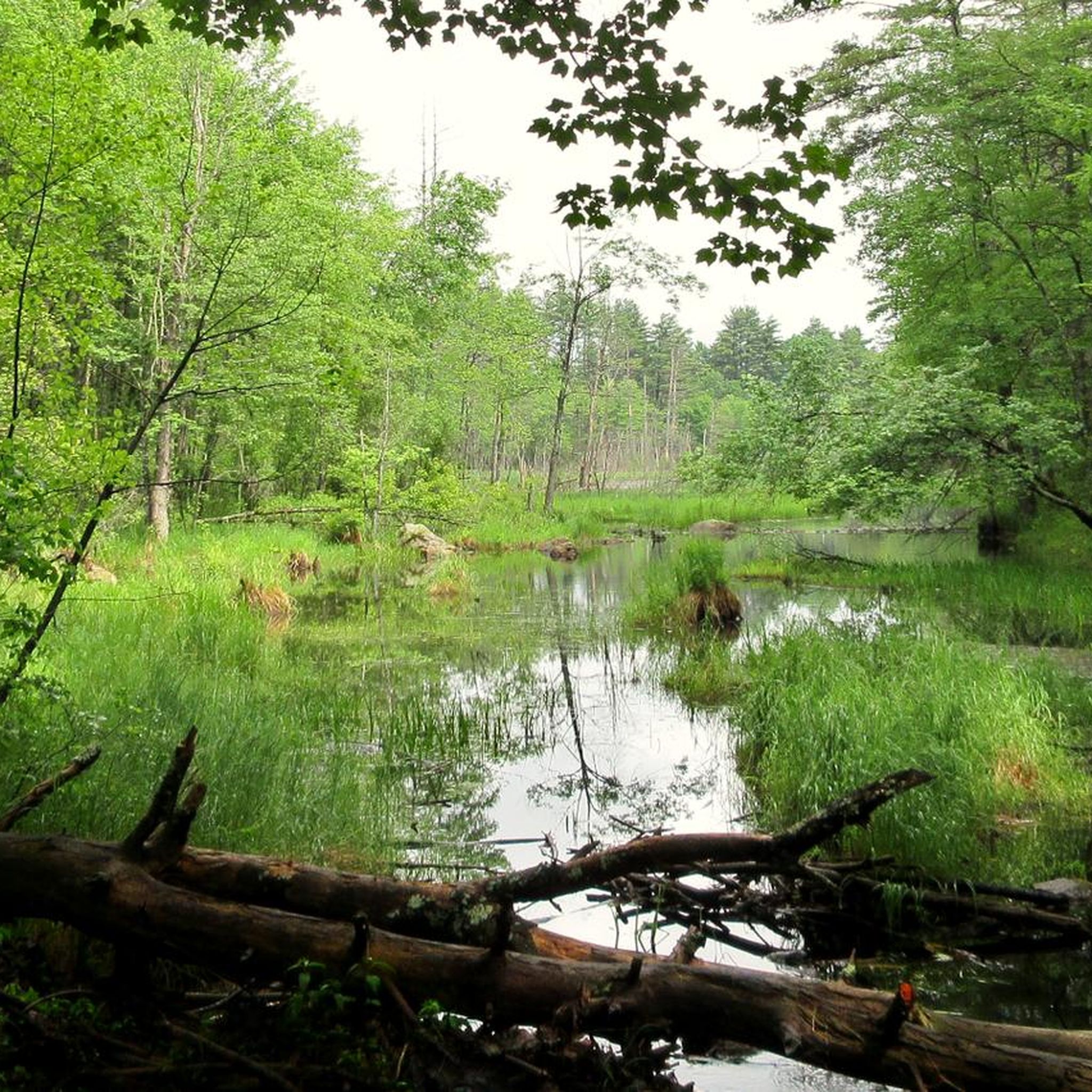
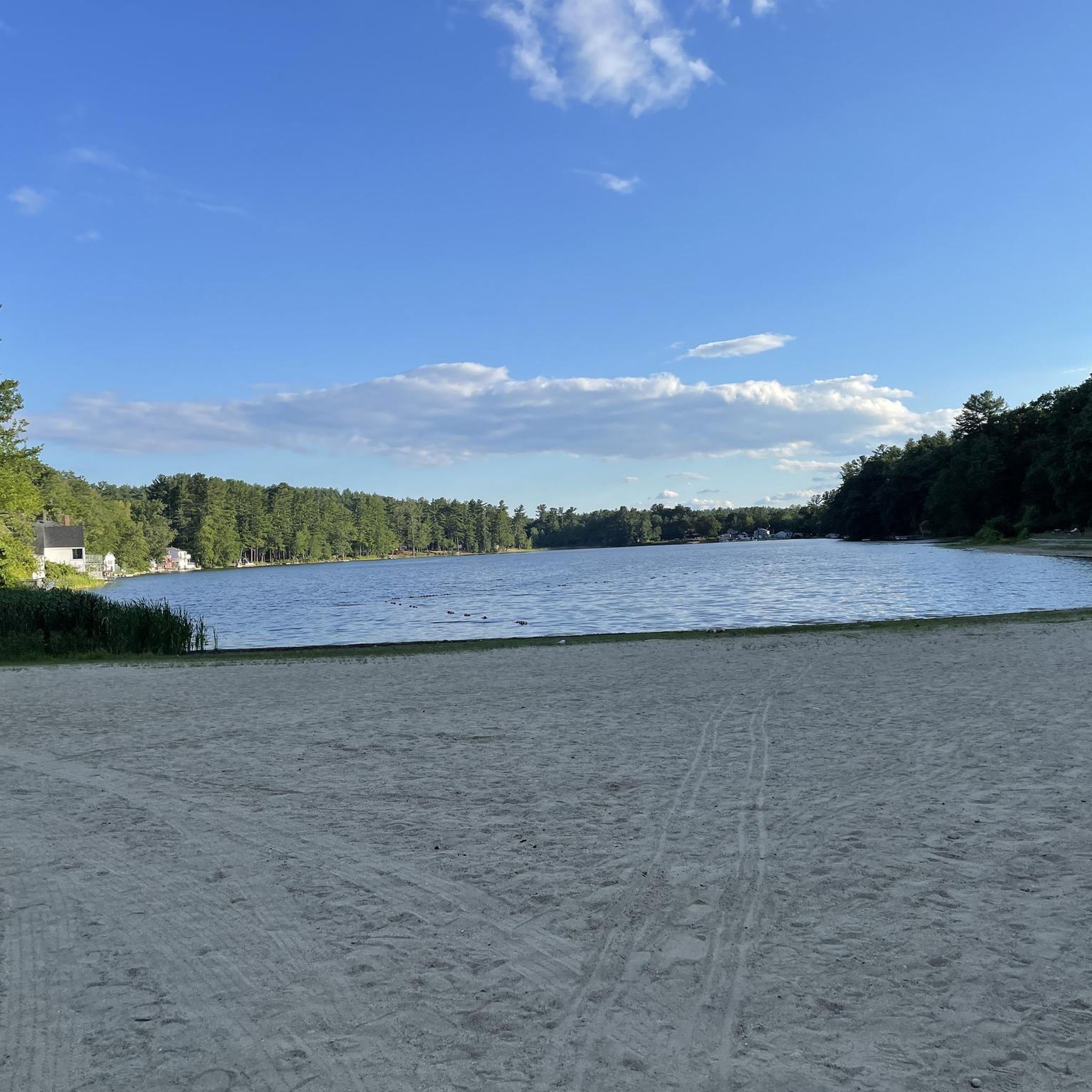
Hiking in Hillsborough County, New Hampshire, offers a diverse range of natural landscapes, including forested hills, river valleys, and conservation areas. The region is characterized by numerous nature preserves, providing varied terrain for outdoor exploration. Trails often lead through woodlands, past waterfalls, and along lakeshores. Elevations are generally suitable for day hikes, with over 100 hiking trails available.

Best hiking trails in Hillsborough County

  • The most popular hiking route is Pack Monadnock Mountain loop via the Wapack Trail & Marion Davis Trail, a 2.7 miles (4.4 km) trail that takes 1 hour 29 minutes to complete, offering views from Pack Monadnock Mountain.
  • Another top favourite among local hikers is North Pack Monadnock Mountain via the Wapack Trail — Wapack National Wildlife Preserve, an easy 2.9 miles (4.7 km) path. This trail ascends North Pack Monadnock Mountain, providing scenic forest and summit views within the wildlife preserve.
  • Local hikers also love the Loop Trail — Horse Hill Nature Preserve, a 4.2 miles (6.8 km) trail leading through varied woodlands, often completed in about 1 hour 49 minutes.
  • Hiking in Hillsborough County is defined by forested hills, river valleys, and numerous nature preserves. The network offers options for different ability levels, from easy walks to moderate ascents.
  • The routes in Hillsborough County are highly rated by the komoot community with an average score of 4.7 stars from over 50 reviews. More than 800 hikers have used komoot to explore Hillsborough County's varied terrain.

Last updated: July 8, 2026

5.0

(2)

16

hikers

#1.

Skatutakee and Thumb Mountains

9.69km

02:55

240m

400m

Embark on a moderate hiking adventure up Skatutakee and Thumb Mountains, covering 6.0 miles (9.7 km) with an elevation gain of 798 feet (243 metres). You can expect to complete this journey in about 2 hours and 54 minutes. The trail winds through varied terrain, from open forests to rockier, steeper sections, offering a dynamic experience. As you ascend, you'll encounter historical stonewalls, remnants of the area's past, and be rewarded with eastward views from both summits, including a dramatic vista of Crotched Mountain and Mount Monadnock from Thumb Mountain.

This route is part of the Harris Center Conservation Land, suggesting accessible trailhead parking for your convenience. While the trail system is generally considered moderate, be prepared for some sections that feature more significant climbs. It's also wise to note that certain parts of the path can become slippery, especially after rain, so choose your footwear accordingly and exercise caution.

Beyond the natural beauty, the trail holds a unique artistic surprise. Keep an eye out for intricately carved wood sculptures by local artist Jack McWhorter, which are thoughtfully placed along the Harriskat Trail section. These artistic touches add a distinctive cultural layer to your outdoor exploration, making this hike a blend of natural challenge and unexpected discovery within the region.

Navigate with device

Send to Phone

Save

Moderate

4.5

(2)

11

hikers

5.23km

01:24

60m

50m

Embark on an easy hike along the Haselton Farm Trail, a route that guides you through a pleasant blend of secluded forest paths and expansive open meadows. You will cover 3.3 miles (5.2 km) with a gentle elevation gain of 187 feet (57 metres), making it a comfortable journey for most. As you walk, the trail winds past serene natural features like Bass Pond and Otter Pond, offering peaceful views and a chance to observe local wildlife. Expect to spend around 1 hour and 23 minutes immersing yourself in this tranquil setting.

Planning your visit to the Haselton Farm Trail is straightforward, as Benson Park provides ample parking for all visitors. The route is easily accessible, allowing you to start your adventure without hassle. If you wish to extend your time outdoors, you can combine this trail with other connecting paths within the park, customizing your hiking experience to fit your preferences. There are no specific permits or fees mentioned, ensuring a simple and welcoming experience.

What makes this trail particularly interesting is its unique historical context, as it passes by remnants of the old Benson's Wild Animal Farm. Keep an eye out for structures like the former Gorilla House, which adds a distinctive historical layer to your natural exploration. The diverse forest and wetland habitats along the way also provide opportunities to spot local wildlife, such as fox or deer, enhancing your connection with the natural environment.

Easy
guide_signup
Let us show you the way with the komoot mobile app
With a free komoot account, you can easily find, customize, and navigate endless outdoor adventures.

Sign up for free

5.0

(1)

8

hikers

Embark on the Ed Hardy, Birch Hill and Beaver Pond Loop for an easy hiking experience that immerses you in varied New Hampshire terrain. This pleasant route spans 4.2 miles (6.8 km) and involves a gentle elevation gain of 515 feet (157 metres), making it accessible for most hikers. As you follow the trail, you will wind through diverse forest, featuring significant birch stands and evergreen sections, offering a dynamic natural feel. Keep an eye out for the serene reflections on Beaver Pond, a key visual landmark, especially beautiful during the spring and fall seasons. You can expect to complete this loop in about 1 hour and 56 minutes, enjoying a peaceful connection with nature, though some sections might have distant road noise.

When planning your visit, be aware that parking is generally available at trailheads in areas like Chickadee-Farley Lots-Birch Hill, but it is always a good idea to confirm specific details locally before you go. Remember to practice Leave No Trace principles to help preserve the natural beauty of the area for everyone. If you like to hike with your canine companion, leashed dogs are typically welcome on many New Hampshire trails, so you can often bring your furry friend along for the adventure. This trail is suitable for a relaxed outing, perhaps best enjoyed during the cooler parts of the day or on a clear afternoon.

The Ed Hardy, Birch Hill and Beaver Pond Loop offers a quintessential New Hampshire forest experience, characterized by its mixed woodlands and the tranquil presence of Beaver Pond. This trail is a great option if you are looking for a straightforward loop that provides a good sense of the local environment without being overly strenuous. It stands out as an accessible way to enjoy the region's natural beauty, providing a refreshing escape into the outdoors. The varied tree cover and the pond views make it a notable choice for a leisurely hike in the Chickadee-Farley Lots-Birch Hill area.

Easy

If you're after a quick, rewarding climb with expansive views, the North Uncanoonuc Mountain via White Dot and Red Dot Trail delivers. This 2.1-mile (3.4 km) hike, despite its easy rating, is a 'lung buster' with 636 feet (194 metres) of elevation gain over roughly 1 hour and 12 minutes. You'll navigate steep, rocky terrain, including rock scrambles and granite slabs, as you ascend through hardwood forests that eventually open up to grassy glades. The highlight is undoubtedly the panoramic summit views, stretching from Manchester to the Boston skyline on clear days, making the effort well worth it.

Good traction footwear is essential for this route, given the uneven footing and potentially slippery rocks, especially if you're tackling the North Uncanoonuc Mountain White Dot Red Dot Trail difficulty. The trailhead parking can get busy, so an early start is advisable to secure a spot. There are no specific permit requirements mentioned, but always be prepared for changing weather conditions, particularly in winter.

North Uncanoonuc Mountain stands out from its more developed neighbor, South Uncanoonuc, offering a quieter summit experience with grassy meadows and scattered rock ledges. You might even find low bush blueberries and blackberries in sunnier spots. This area has a rich history, even being referenced by Henry David Thoreau, adding a layer of cultural significance to your hike.

Easy

4.0

(1)

6

hikers

2.00km

00:31

10m

10m

The Dorrs Pond Loop offers a delightful escape into nature, winding around the scenic 18-acre Dorrs Pond. You'll experience a mix of wide dirt paths and boardwalks, with the surrounding forests providing a beautiful backdrop, especially vibrant in summer and autumn. The trail is generally flat and accessible, making it a pleasant journey for all.

Planning your visit is straightforward, as the trailhead is located within Livingston Park and offers ample parking and convenient restrooms. This easy 1.2-mile (2.0 km) hiking trail has a minimal 19 feet (6 metres) of elevation gain and takes about 30 minutes to complete, making it perfect for a quick outing. It's a popular spot for walkers, runners, and dog owners, so you might encounter others enjoying the path.

Despite its location in Manchester, the Dorrs Pond Loop is often described as a hidden gem, providing a tranquil retreat. Its easy difficulty and family-friendly, dog-friendly nature make it a go-to for a leisurely stroll or a beginner-friendly hike. The park also offers additional amenities like a playground and ball fields, making it a comprehensive destination for a day out.

Easy

5

hikers

2.32km

00:47

110m

110m

The Hedgehog Ridge Trail offers an easy hiking experience, covering 1.4 miles (2.3 km) with a gentle elevation gain of 377 feet (115 metres). You can expect to complete this route in about 46 minutes. As you hike, you will traverse varied terrain, moving from open fields into mixed forests and encountering some rocky sections with exposed boulders. The trail rewards you with superb westward views, including distant glimpses of Mount Monadnock and the expansive Contoocook Valley.

When planning your visit, consider that the Hedgehog Ridge Trail is dog friendly, so you are welcome to bring your leashed canine companion along. While no specific permits are required, the trail's flexibility allows for loop hikes or thru-hikes if you arrange a car spot. This makes it a convenient option for a quick outdoor escape, whether you are looking for a short morning walk or an afternoon adventure.

This trail is particularly appealing in autumn, as the diverse forest types create a vibrant display of fall foliage. Keep an eye out for wild blueberries on the ledges during their season, adding a sweet treat to your hike. The Hedgehog Ridge Trail provides a rewarding connection to nature within Hedgehog Mountain Forest, making it a notable local gem for its scenic beauty and accessibility.

Easy

5.0

(1)

4

hikers

Shannon's, Summit West and Lower Link Trail offers a fantastic hiking experience through the Crotched Mountain Town Forest, blending varied terrain with impressive summit views. You'll navigate everything from wide dirt paths to rock scrambles and ledgy sections, culminating in a steady incline over boulders. The highlight is undoubtedly the panoramic vistas from the observation deck, showcasing Mt. Monadnock, and the blueberry field near the summit, providing expansive eastern and western views.

This moderate 3.9-mile (6.3 km) hike, with 993 feet (303 metres) of elevation gain, typically takes around 2 hours and 7 minutes. Access points are available from Greenfield and Francestown, with the Greenfield option being shorter. Dogs are permitted on a leash, but be sure to bring your GPS as there's an unmarked trail split on the return. This route is ideal for those seeking a rewarding climb with scenic payoffs.

Part of the larger Crotched Mountain trail network, this trail serves as an excellent gateway to exploring more of the region's natural beauty. Its connectivity to other trails, like the Bennington Trail, allows for extended hiking possibilities. The combination of a good workout, diverse landscapes, and stunning viewpoints makes it a popular route for hikers in the Monadnock Region of New Hampshire.

Moderate

Embark on an easy hike along the Hammond Brook, Eagle, Timber, Ledge, Highland, and Pine Trail Loop, a 3.3-mile (5.3 km) journey. You will gain 311 feet (95 metres) in elevation over approximately 1 hour and 27 minutes, exploring a diverse forest environment. The route combines several named sections, offering varied woodland scenery. Keep an eye out for refreshing ponds and streams along the way, adding to the natural charm of your walk.

Planning your visit is straightforward, as you will find parking readily available at the trailhead. This accessible route is generally open for hikers. While there are no specific warnings for this particular loop, some trails in the wider Joe English Reservation are groomed for winter activities, suggesting it can be enjoyed year-round. Consider visiting during off-peak hours for a more tranquil experience.

This loop is nestled within the expansive Joe English Reservation, a significant natural area known for its diverse ecosystems. The combination of trails like Hammond Brook and Pine Trail offers a comprehensive tour of the reservation's varied landscapes. It provides a pleasant opportunity to connect with nature and experience the local environment.

Easy

4

hikers

Embark on the Grater Woods Millepede Loop, a moderate hiking route that takes you through dense woods filled with mixed hardwood and softwood trees. This 4.9 miles (7.9 km) loop involves a gentle ascent of 350 feet (107 metres), making it a pleasant journey for most hikers. As you wind through the forest, you might catch glimpses of the distant Wapack Range, adding a scenic backdrop to your walk. Expect to spend around 2 hours and 18 minutes completing this trail at a steady pace.

Planning your visit to Grater Woods is straightforward, as parking is generally available at the various trailheads within the area. This conservation land offers easy access for your outdoor adventures. The broader Grater Woods trail system welcomes a variety of non-motorized activities, so you might encounter mountain bikers or snowshoers depending on the season. Always check local conditions before you head out.

The Grater Woods Millepede Loop is nestled within a diverse landscape that includes wetlands, streams, and beaver ponds. This rich environment supports a variety of wildlife, so keep an eye out for deer and turkey during your hike. The trail provides a wonderful opportunity to immerse yourself in nature and experience the accessible wilderness of the Grater Woods area.

Moderate

If you're looking for a pleasant and accessible outdoor escape, the Summit East and Summit West Loop Trail in Francestown, New Hampshire, is a great choice. This easy 3.4-mile (5.5 km) hike takes you through diverse landscapes, including the peaceful Town Forest, offering scenic vistas without a demanding climb. With only 206 feet (63 metres) of elevation gain, you can complete this loop in about 1 hour and 28 minutes, making it ideal for a relaxed outing.

Planning your visit is straightforward for this family-friendly trail. While specific parking details aren't provided, arriving with some flexibility to find a spot near the trailhead is a good idea. The trail is generally suitable for most times of day, but consider mornings for cooler temperatures and fewer people. Always bring water, especially if you're hiking during warmer periods.

Located within a picturesque mountain range, the Summit East and Summit West Loop Trail offers a rewarding outdoor adventure that highlights the natural beauty of Hillsborough County. It's a fantastic option for beginners or anyone wanting to enjoy nature without a strenuous commitment, providing a taste of New Hampshire's diverse ecosystems.

Easy
Sign up for free to see 156 more hikes in Hillsborough County.

Get access to more routes and recommendations from other explorers.

Sign up for free

Already have an account?

Our route recommendations are based on thousands of hikes, rides, and runs completed by other people on komoot.

Start today with a free account

Your next adventure awaits.

Login or Signup

Popular around Hillsborough County

Hiking around Amherst

Hiking in Litchfield State Forest

Hiking around Manchester

Hiking around Peterborough

Hiking around Wilton

Hiking in Silver Lake State Park

Hiking around Pinardville

Hiking in Palmer Wildlife Refuge

Hiking around East Merrimack

Hiking around Klondike Corner

Tips from the Community

maniboyflex
January 26, 2024, Town Forest

This is a preserved area composed of swamps, streams, grassland, vernal pools and ledges, and is home to diverse fauna including: wild turkey, moose, whitetail deer, hawks, barred owl, snowshoe hare, beaver, mink; and many other wild animals. Being the biggest town forest preserved by Fracestown, it extends from Farrington Road and Route 136 on the south side of Crotched Mt. to East Road.

0

0

Paul_C
December 5, 2023, Thumb Mountain

This steep-sided summit is one of the highest points in the Nangang Mountain range and offers panoramic views of the surrounding countryside and the north face of Mount Monadnock. You can access Thumb Mountain from the Harriskat and Thumbs trails which are well-maintained and marked by the Harris Center for Outdoor Education, which also provides water and washroom facilities along the way. Thumb Mountain is a great destination for hikers who want to experience the beauty and diversity of New Hampshire’s natural landscape.

0

0

Paul_C
December 5, 2023, Skatutakee Mountain

If you are looking for a scenic and moderate hike in the Monadnock Region of New Hampshire, you should check out Skatutakee Mountain. This 1,998-foot (609 m) peak offers a 180-degree panorama of the Wapack Range, Crotched Mountain, and the north face of Mount Monadnock from its open ledges. You can choose from three different trails to reach the summit, ranging from the steep and challenging Cabot Trail to the easier and more gradual Harriskat Trail or the Thumbs Up-Thumbs Down Trail. The latter also gives you the option to visit the nearby Thumb Mountain, which has great views to the south. Skatutakee Mountain is part of a large conservation area managed by the Harris Center for Conservation Education, which also provides environmental education programs and hiking information. Skatutakee Mountain is a great destination for anyone who wants to enjoy the beauty of the Monadnock Region.

0

0

The trails at the Joe English Reservation are great for hiking all months of the year. The diverse reserve contains wetlands, forests, and meadows that all offer a different wilderness perspective.

0

0

After the steep and rocky climb, once at the top of the mountain, you can enjoy the incredible panorama.

0

0

Frequently Asked Questions

How many hiking trails are available in Hillsborough County?

Hillsborough County offers a wide variety of hiking experiences, with over 100 trails to explore. These routes cater to different skill levels, from easy walks to more moderate ascents through forested hills and river valleys.

What kind of terrain can I expect on hikes in Hillsborough County?

The hiking trails in Hillsborough County traverse diverse landscapes, including forested hills, river valleys, and various conservation areas. You'll find paths leading through woodlands, along lakeshores, and past scenic waterfalls. While elevations are generally suitable for day hikes, the terrain offers a good mix of easy and moderate sections.

Are there any trails with waterfalls in Hillsborough County?

Yes, Hillsborough County features several trails where you can enjoy the beauty of waterfalls. For example, the Wildcat Falls (Atherton Falls) loop — Merrimack, New Hampshire is an easy route that takes you past these natural features. Another option is the Tucker Brook Falls loop via the Ridge Trail. You can also visit Wildcat Falls (Atherton Falls) and Purgatory Falls as specific highlights.

What do other hikers enjoy most about the trails in Hillsborough County?

The hiking routes in Hillsborough County are highly regarded by the komoot community, holding an impressive average rating of 4.8 stars from over 50 reviews. Hikers frequently praise the region's varied woodlands, scenic views from summits like Pack Monadnock Mountain, and the well-maintained paths within nature preserves.

Are there any family-friendly hiking options in Hillsborough County?

Many trails in Hillsborough County are suitable for families, especially those looking for easy walks. The region's generally gentle terrain and numerous nature preserves offer accessible paths. Consider routes like the Loop Trail — Horse Hill Nature Preserve, which provides a pleasant experience through varied woodlands.

Can I find circular hiking routes in Hillsborough County?

Yes, Hillsborough County offers several excellent circular routes for hikers. Popular options include the Pack Monadnock Mountain loop via the Wapack Trail & Marion Davis Trail, which offers summit views, and the Wildcat Falls (Atherton Falls) loop for a scenic walk past waterfalls.

What are some notable natural landmarks or viewpoints to explore?

Hillsborough County is home to several natural landmarks and viewpoints. You can hike to the summit of Pack Monadnock Mountain or North Pack Monadnock Mountain for expansive views. Other points of interest include Mill Pond and the View from South Uncanoonuc Mountain.

Are there any trails suitable for beginners or those looking for easy hikes?

Absolutely. A significant portion of the trails in Hillsborough County are rated as easy, with 74 out of 108 routes falling into this category. These trails are perfect for beginners or anyone seeking a relaxed outdoor experience. An example is the Rhododendron & Woodland Loop Trails — Manchester Cedar Swamp Preserve, offering a pleasant walk through a natural preserve.

What is the best time of year to go hiking in Hillsborough County?

While specific seasonal details can vary, the diverse landscapes of Hillsborough County, with its forested hills and river valleys, offer beautiful hiking opportunities throughout much of the year. Spring and fall typically provide pleasant temperatures and vibrant scenery, while summer can be enjoyed on shaded woodland trails. Always check local weather conditions before heading out.

Are there any longer or more challenging moderate hikes available?

Yes, for those seeking a bit more challenge, Hillsborough County offers 33 moderate-difficulty routes. One such option is the Battery Point & Massabesic Lake loop — Manchester, which provides a longer trek with varied terrain around the lake. Another is the Pulpit Rock Conservation Area and Joppa Hill loop — Bedford.

Where can I find information about conservation areas and preserves in the region?

Hillsborough County is rich in conservation areas and nature preserves, such as Horse Hill Nature Preserve and Manchester Cedar Swamp Preserve. These areas are crucial for protecting the region's natural beauty and providing recreational opportunities. For more general information about conservation lands in the county, you can visit the Hillsborough County website: hcfl.gov/conservation-lands.

Most popular routes in Hillsborough County

Easy hikes in Hillsborough County

Most popular attractions in Hillsborough County

Places to see

Store rating

Get inspired with the komoot mobile app

With a free komoot account, you can easily find, customize, and navigate endless outdoor adventures.

or

Join komoot Now

Store rating

Didn’t find what you were looking for?

Check out more Hikes throughout Hillsborough County below and find the perfect route in your destination.

ManchesterLitchfield State ForestWiltonSilver Lake State ParkKlondike CornerHillsboroughHancockNashuaAntrimBenningtonEast MerrimackFrancestownGoffstownGreenvillePinardvillePeterboroughPalmer Wildlife RefugeMilfordFox State ForestWapack National Wildlife RefugeNew BostonHudsonRussell-Abbott State ForestAmherstJack & Margaret Hoffman Wilderness SanctuaryRussell State ForestMiller State Park

Other places to explore

Forests in Hillsborough County

Nearby adventure guides

Things to Do around New Boston

background

Get ready to conquer new peaks

Sign up for Free

Explore
RoutesRoute plannerFeaturesHikesMTB TrailsRoad cycling routesBikepackingSitemap
Download the app
Follow Us on Socials

© komoot GmbH

Privacy Policy