The best road cycling routes in St. Charles County
4.6
(82)
1,863
riders
55
rides
Road cycling routes in St. Charles County traverse a landscape characterized by the Missouri River floodplain, offering extensive flat sections along the Katy Trail. The region also features numerous greenways and parks, providing varied terrain for cyclists. While much of the area is relatively flat, some routes extend into rolling countryside with gentle hills.
Best road cycling routes in St. Charles County
- The most popular road cycling route is Katy Trail and Creve Coeur Lake Loop, a 22.1 miles (35.6 km) trail that takes 2 hours 3 minutes to complete. This route combines the historic Katy Trail with scenic views around Creve Coeur Lake.
- Another top favourite among local road cyclists is Katy Trail and Busch Greenway Loop, a moderate 33.9 miles (54.6 km) path. This route offers a blend of riverfront cycling and parkland scenery through the Busch Greenway.
- Local road cyclists also love the Katy Trail: St. Charles to Machens, a 24.8 miles (39.9 km) trail leading through the Missouri River corridor, often completed in about 2 hours 44 minutes.
- Road cycling in St. Charles County is defined by river floodplains, greenways, and rolling hills. The network offers options for easy road bike trails St Charles County as well as more advanced road cycling trails St Charles County.
- The routes in St. Charles County are highly rated by the komoot community with an average score of 4.25 stars from over 20 reviews. More than 1,000 road cyclists have used komoot to explore St. Charles County's varied terrain.
Last updated: July 7, 2026
4.2
(6)
106
riders
35.6km
02:03
100m
100m
The Katy Trail and Creve Coeur Lake Loop offers a delightful blend of crushed limestone rail-trail and smooth paved paths, making it a diverse road cycling experience. You'll glide past dense woodlands and catch glimpses of the Missouri River on the historic Katy Trail, then transition to the scenic Creve Coeur Lake Loop, where you'll enjoy picturesque views of the lake, wetlands, and native wildflowers. It's a moderate 22.1-mile (35.6 km) ride that feels more like a leisurely tour than a strenuous workout, perfect for soaking in the local scenery.
This route is generally accessible, but ensure your road bike has tires 25mm or wider to comfortably handle the crushed limestone sections of the Katy Trail, which can sometimes be a bit soft or bumpy after rain. The Creve Coeur Lake Memorial Park is a popular spot, so consider an early start to secure parking, especially on pleasant weekend days. The trail is enjoyable across multiple seasons, with spring and autumn providing particularly comfortable temperatures and beautiful natural displays.
This combined loop is notable for its historical significance, as the Katy Trail is the longest rail-trail in the United States, built on a former railroad corridor and part of the Lewis and Clark National Historic Trail. The route offers a unique blend of expansive river views and the vibrant environment surrounding Creve Coeur Lake, Missouri's second-largest natural lake. It's an excellent option for cyclists seeking a varied ride that connects natural beauty with historical context.
79
riders
54.6km
03:53
220m
220m
Embark on the Katy Trail and Busch Greenway Loop, a moderate road cycling adventure spanning 33.9 miles (54.6 km) with 705 feet (215 metres) of elevation gain, typically completed in 3 hours and 52 minutes. This route offers a diverse ride, taking you through hardwood forests and along creek-side boardwalks. You will enjoy open views of the Missouri River, especially as you pass by the Historic Bridge. The varied surfaces and changing scenery make for an engaging journey.
Before you set out, be aware that while much of the Busch Greenway is paved and the Katy Trail is crushed limestone, the Hamburg Trail section consists of crushed gravel. If you are on a pure road bike, you might want to consider a bike with wider tires or plan an alternative route for that segment. A convenient self-service bike repair station is available at the Missouri Research Park trailhead, should you need it.
This loop takes you through significant natural conservation areas, including the August A. Busch Conservation Area. Here, you might spot local wildlife and wildflowers, depending on the season. You will also pass by Klondike Park, which features interesting natural and man-made elements like the Klondike Park Quarry, adding unique points of interest to your ride.

Sign up for free
69
riders
39.9km
02:44
50m
40m
If you're looking for a wonderfully flat and scenic road cycling experience, the Katy Trail: St. Charles to Machens is a fantastic option. This route follows the Missouri River, treating you to views of lush farmland, open fields, and shaded forest segments, with impressive bluffs appearing near Klondike Park. The packed crushed limestone surface makes for a smooth ride, and the minimal 149 feet (45 metres) of elevation gain over 24.8 miles (39.9 km) ensures an easy, relaxed journey.
Planning your ride is straightforward, as this moderate route is suitable for all skill levels and takes about 2 hours and 44 minutes. You can start your adventure in Historic Downtown St. Charles, which offers a great historical backdrop. While the trail is generally very accessible, it's wise to check for local conditions, especially near Machens, as this low-lying area can be prone to flooding.
This segment is part of the historic Katy Trail State Park, the longest developed rail-trail in the United States, and is even designated as part of the Lewis and Clark National Historic Trail. You'll find historical markers along the way, connecting you to the rich past of the region. It's a perfect choice for family cycling or anyone seeking a beginner-friendly ride with a blend of natural beauty and history.
26
riders
64.0km
03:47
230m
230m
This moderate 39.8 miles (64.0 km) racebike route combines the varied surfaces and scenery of the Katy Trail and Creve Coeur Lake Loop. You will cover 745 feet (227 metres) of elevation gain over approximately 3 hours and 46 minutes, offering a diverse ride. The Katy Trail section features a largely flat, crushed limestone path winding through river bluffs, forests, and open fields. As you transition to the Creve Coeur Lake Loop, the surface becomes paved, providing scenic views of the lake itself and its surrounding marshlands. You'll also cross the Veterans Memorial Bridge, a notable point on this popular St. Louis area ride.
When planning your visit, be aware that the Katy Trail's crushed limestone surface can become soft after rain, so check conditions before you go. For the most comfortable experience, consider riding in spring or autumn to enjoy mild temperatures or vibrant fall foliage. You will find restrooms and water fountains conveniently located within Creve Coeur Lake Memorial Park. Ample parking is typically available at the trailheads for both the Katy Trail and Creve Coeur Lake Loop, making access straightforward.
This route stands out for its unique combination of two distinct cycling environments near St. Louis. You get the expansive, natural feel of the Katy Trail, a former railroad corridor, paired with the more contained, scenic loop around Creve Coeur Lake. The trail offers a chance to experience both riverine landscapes and tranquil lake views, showcasing the diverse outdoor opportunities in the region. It is a popular choice for cyclists looking for a substantial ride with varied terrain and points of interest.
23
riders
49.9km
02:47
240m
240m
The Katy Trail and Weldon Spring Loop offers a dynamic road cycling experience, blending the famously flat, crushed limestone surface of the Katy Trail with the more rugged, hilly terrain of the Weldon Spring Conservation Area. You'll enjoy peaceful stretches alongside the Missouri River, passing through forests and wetlands, before encountering the challenging gravel and dirt paths that wind through ridgetops and bottomlands, offering diverse scenery and potential wildlife sightings.
This moderate 31.0-mile (49.9 km) route, with an elevation gain of 773 feet (236 metres) and an estimated duration of 2 hours and 47 minutes, is best tackled by road cyclists with tires 25mm or wider to handle the varied surfaces. The Weldon Spring Conservation Area provides direct access to the Katy Trail, making it a convenient starting point for this unique blend of rail-trail and natural area cycling.
What makes this loop stand out is its ability to showcase a wide range of Missouri landscapes in a single ride, from the tranquil river views to the dramatic bluffs within the conservation area. It's a great option for cyclists looking to test their versatility and enjoy both the ease of a rail-trail and the challenge of more undulating terrain, offering a comprehensive tour of the region's natural beauty.
3.0
(1)
19
riders
22.8km
01:08
90m
90m
Embark on the Boschert Greenway and Katy Trail Loop for a moderate road cycling adventure spanning 14.2 miles (22.8 km). You will gain 293 feet (89 metres) in elevation over an estimated 1 hour and 8 minutes. This route offers a varied experience, transitioning from paved greenway sections through New Town and past the lakes of Fox Hill Park, to the famous crushed limestone of the Katy Trail. As you cycle, you can enjoy elevated views of the Missouri River valley and spot the unique "Blomstre" sculpture.
When planning your visit, remember that both the Boschert Greenway and the Katy Trail are generally considered easy to moderate for cycling, making them suitable for many fitness levels. The Boschert Greenway is mostly paved, while the Katy Trail features hard-packed crushed limestone. While road bikes are generally fine, wider tires are often recommended for comfort on the Katy Trail, especially if the surface is sandy or mushy after rain. Parking is available at various access points along the route, making it easy to start your ride.
The Katy Trail section of this loop follows the Missouri River, offering picturesque views of majestic river bluffs, peaceful farmland, and thick forests. This part of the trail is a significant piece of Missouri's outdoor infrastructure, built on a former railroad corridor. The combination of urban greenway and historic rail-trail provides a unique blend of scenery and cycling surfaces, connecting you to Historic Downtown St. Charles along the way.
13
riders
52.9km
03:07
80m
80m
The Katy Trail and Earth City Levee Loop offers a unique blend of surfaces and scenery for cyclists near St. Louis. You'll ride along the historic Katy Trail's crushed limestone, enjoying views of the Missouri River, its floodplains, and dramatic limestone bluffs, before transitioning to the paved Earth City Levee with its wide-open river vistas. Keep an eye out for wildlife like white-tailed deer and various birds as you pass through woodlands, wetlands, and open agricultural fields on this 32.8-mile (52.9 km) journey with a gentle 246 feet (75 metres) of elevation gain. It's a great way to experience the diverse natural features of the region.
Planning your ride on this moderate route, which typically takes around 3 hours and 7 minutes, requires a quick check of current conditions. Some sections, especially in Riverwoods Park, have seen permanent closures due to flooding, and temporary construction closures can occur near the 370 bridge. Parking for Earth City Levee Loop cycling is generally available at various access points, and you'll find amenities like restrooms and water fountains at many trailheads. Consider spring or autumn for the best weather and most vibrant scenery.
This loop connects you to America's longest "rails-to-trails" project, the Katy Trail, which follows the path of the former Missouri-Kansas-Texas Railroad and much of the route taken by Lewis and Clark. The Earth City Levee Trail is also part of the broader Missouri River Greenway network, linking to the Riverwoods Trail and downtown St. Charles via the 370 Discovery Bridge. This rich history and connectivity make the Katy Trail Earth City Levee Loop a significant and rewarding ride in the St. Louis area.
8
riders
79.5km
05:05
570m
570m
Embark on the Katy Trail and Augusta Loop, a difficult road cycling route spanning 49.4 miles (79.5 km) with a significant 1856 feet (566 metres) of elevation gain. This challenging ride takes approximately 5 hours and 4 minutes to complete, guiding you through diverse landscapes. You will cycle past impressive rock cliffs, meander through dense woodlands, and enjoy picturesque views of the Missouri River Valley, especially near Klondike Park.
Planning your ride is straightforward, as the Katy Trail provides abundant trailheads equipped with amenities like water fountains and restrooms for convenient access. Augusta serves as a popular and well-equipped stop along the route, offering restaurants, lodging, and essential bike services. For added flexibility, consider using Amtrak's bike-friendly service, which allows for various shuttle options to create different loop configurations.
This route is specifically designed for road cyclists seeking a substantial and rewarding experience. As you pedal, you will discover charming small towns, including Augusta, which is renowned for its local wineries. The trail's path alongside the Missouri River and through farmlands offers a peaceful atmosphere, making it a notable journey for those who appreciate both natural beauty and a good workout.
4
riders
84.0km
03:51
390m
390m
Embark on the Katy Trail and St. Charles Greenways Loop, a moderate road cycling adventure spanning 52.2 miles (84.0 km) with an elevation gain of 1266 feet (386 metres). You can expect to complete this route in about 3 hours and 50 minutes. The trail offers a varied landscape, blending the rustic charm of the Katy Trail with the more developed feel of paved greenways. As you cycle, you will encounter picturesque views of the Missouri River and impressive limestone bluffs, especially along the Katy Trail sections. Keep an eye out for the Veterans Memorial Bridge over the Missouri River, a significant landmark on your journey.
This loop is generally accessible, connecting various communities and providing safe passage over busy highways. While the route is well-established, remember that services like bike shops or cafes might not be available at every trailhead along the Katy Trail. It is a good idea to plan your stops for refreshments and any bike maintenance needs in advance. Consider starting your ride early in the day to make the most of the daylight and avoid peak traffic times in more urban sections.
The Katy Trail and St. Charles Greenways Loop offers a unique blend of natural beauty and local history. The route takes you through historic downtown St. Charles, allowing you to experience a mix of natural scenery and local amenities. This trail is notable for its combination of the historic Katy Trail State Park, one of the country's longest rail-trails, with modern greenways, providing a diverse and engaging cycling experience for you to explore.
5
riders
33.2km
01:39
130m
130m
Cycle the moderate 20.7-mile Boschert Greenway and Missouri Greenway Loop, enjoying river views and the unique Blomstre sculpture.
Get access to more routes and recommendations from other explorers.
Sign up for free
Already have an account?
Our route recommendations are based on thousands of hikes, rides, and runs completed by other people on komoot.
Start today with a free account
Your next adventure awaits.
Login or Signup
Popular around St. Charles County
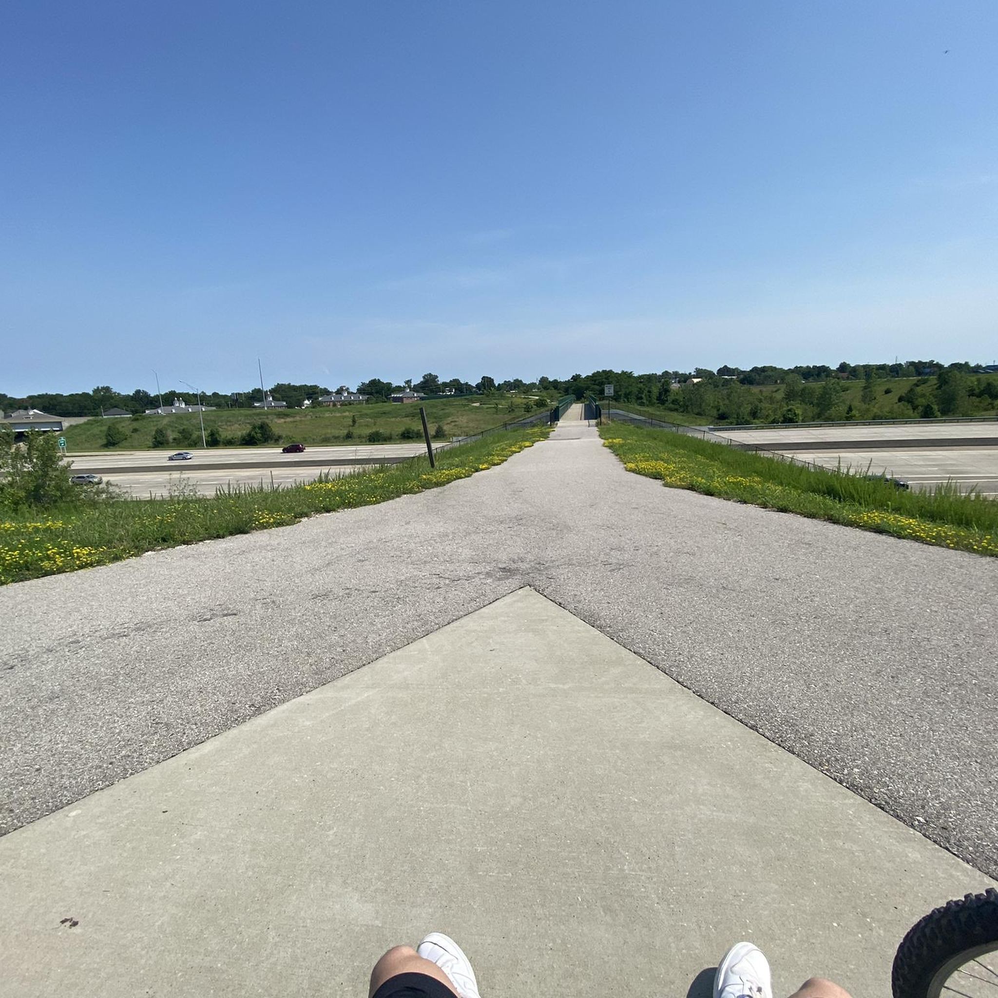
Road Cycling Routes around St. Charles

Road Cycling Routes around Weldon Spring Heights
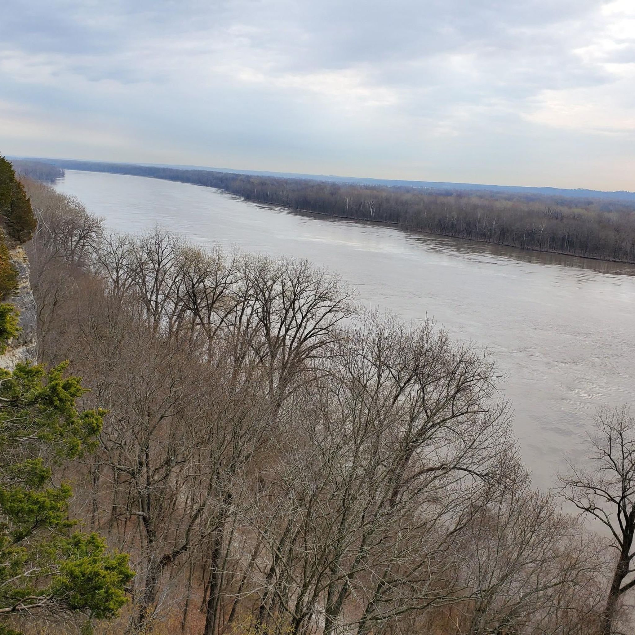
Road Cycling Routes around Lake St. Louis

Road Cycling Routes around Dardenne Prairie

Road Cycling Routes around St. Peters
Road Cycling Routes around Defiance
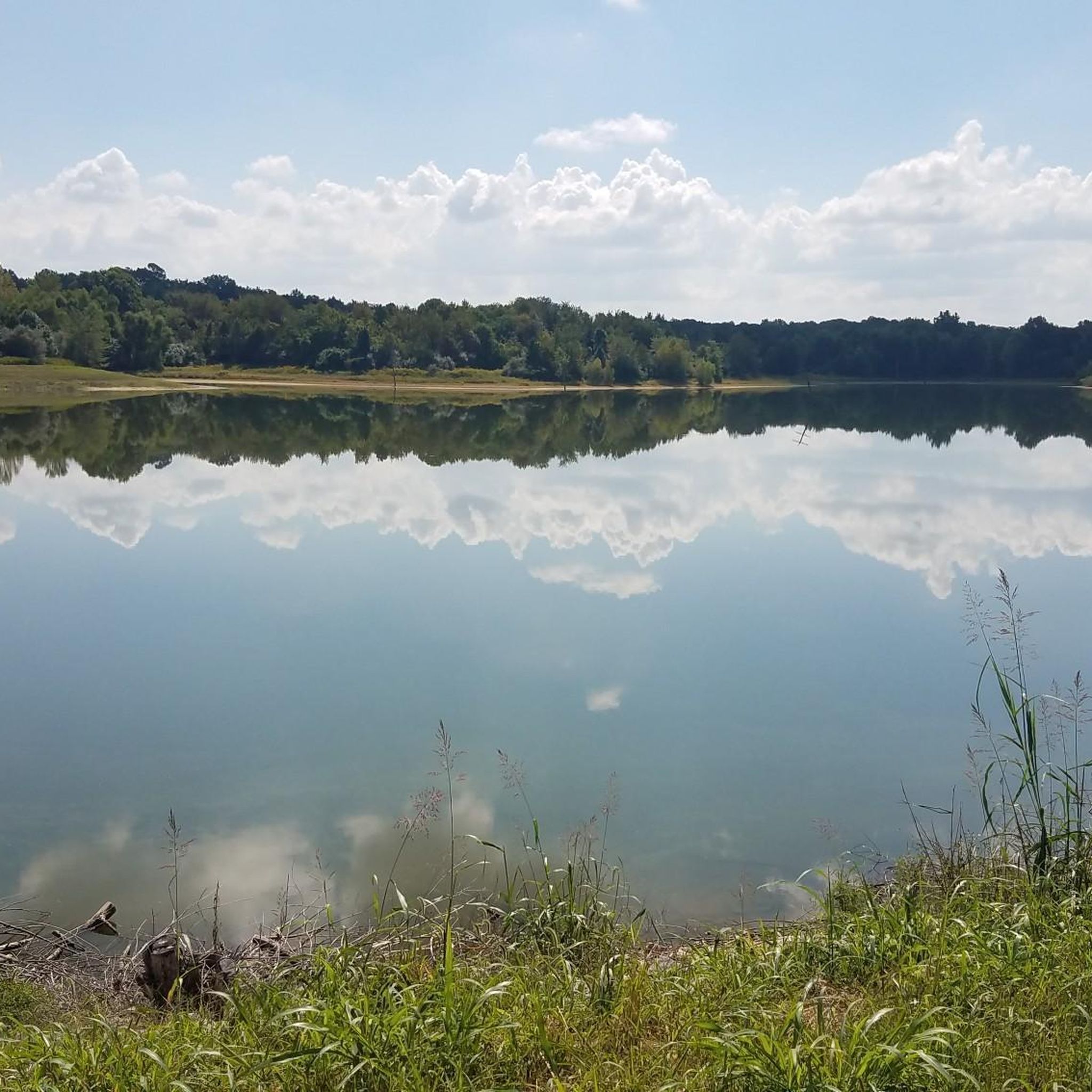
Road Cycling Routes around Weldon Spring

Road Cycling Routes around O'Fallon
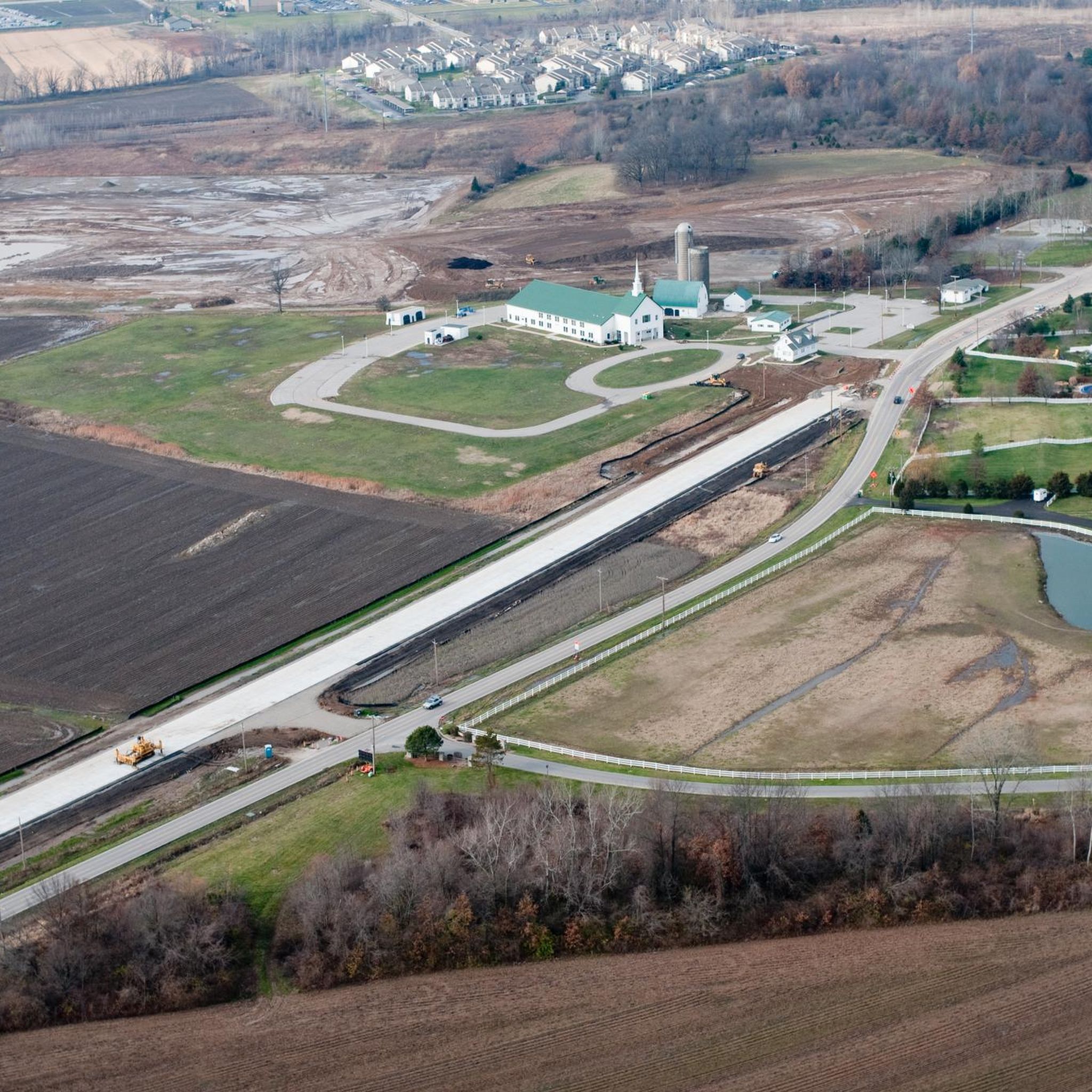
Road Cycling Routes around Cottleville
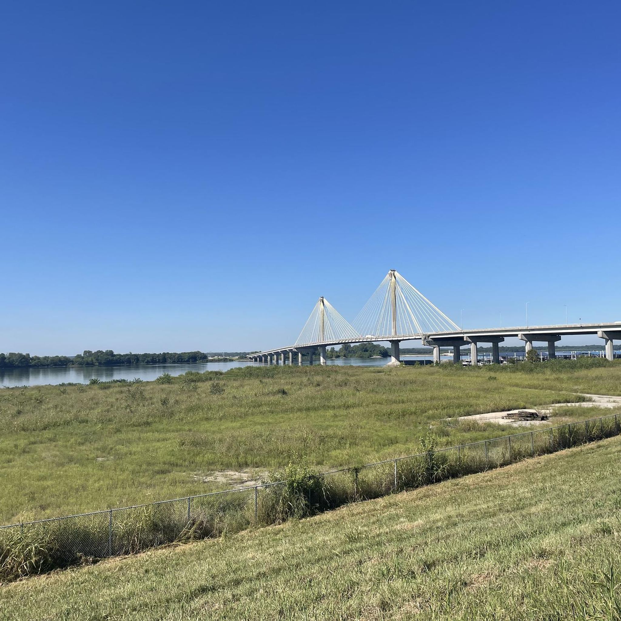
Road Cycling Routes around West Alton


Tips from the Community

Highway B is a nice, flat road with farms on either side. It serves as a floodplain when river levels rise. On the opposite side of the farms lies the Missouri River.
0
0
Greens Bottom Road is a great alternative to the Katy Trail as it is lightly trafficked and has a 45 miles per hour speed limit. It's a short stretch of pavement where you can easily access or depart from the Katy Trail.
0
0
This marks the easternmost point of the Katy Trail. Machens resides at mile-marker 27 along the Missouri River, tracing the northern bank for a significant stretch of the trail.
0
0
This section of the Katy Trail extends from Greens Bottom Road to Missouri Research Trail. Here, you'll discover a shady, compact gravel road with views of the Missouri River.
0
0

The Mononame 207 Reservoir is a 22-acre lake off the side of the Busch Greenway. It's popular for fishing and has a pretty cool looking backdrop of trees. There's a spot with a bench on the north side of the lake where you can take a break and take in the view
0
0
Cottleville is a lovely small city known for its quaint downtown area. With its touch of old-fashioned charm, it stands out as a unique stop along the country roads.
0
0
The Busch Greenway is a well-paved multi-use path weaving through the Weldon Springs Conservation Area. Along the way you will encounter lakes, vast open prairies, and the authentic landscapes native to Missouri.
0
0
Frequently Asked Questions
How many road cycling routes are available in St. Charles County?
St. Charles County offers a wide selection of road cycling routes, with over 45 routes available on komoot. These routes cater to various skill levels, from easy rides to more challenging excursions.
Are there road cycling routes suitable for beginners or families in St. Charles County?
Yes, St. Charles County has numerous beginner-friendly and family-friendly road cycling options. Many routes utilize the flat sections of the Katy Trail and various greenways, which are ideal for those seeking an easier ride. There are 16 easy routes available, perfect for a relaxed outing.
Are there challenging road cycling routes for experienced riders in St. Charles County?
For experienced riders seeking a challenge, St. Charles County offers routes that venture into the rolling countryside with more significant elevation changes. An example is the Katy Trail and Augusta Loop, which features over 500 meters of elevation gain. There are 3 difficult routes available for those looking for a strenuous workout.
What kind of terrain can I expect on road cycling routes in St. Charles County?
The terrain in St. Charles County is diverse, characterized by the Missouri River floodplain, offering extensive flat sections along the Katy Trail and various greenways. However, some routes extend into rolling countryside with gentle to moderate hills, providing a varied experience for cyclists.
Can I find loop road cycling routes in St. Charles County?
Yes, many road cycling routes in St. Charles County are designed as loops, allowing you to start and end at the same point. Examples include the Katy Trail and Weldon Spring Loop or the Boschert Greenway and Katy Trail Loop, offering convenient circular journeys.
What attractions can I see along road cycling routes in St. Charles County?
Many routes offer opportunities to explore local attractions. You might pass by natural areas like Weldon Spring Conservation Area or enjoy views from the Missouri River Overlook. Frontier Park in St. Charles is also a popular spot along the Katy Trail.
Are there road bike trailheads with parking in St. Charles County?
Yes, many popular road cycling routes and greenways in St. Charles County offer designated parking areas at their trailheads. The Katy Trail, for instance, has multiple access points with parking facilities, making it convenient to start your ride.
What do other road cyclists say about the routes in St. Charles County?
The road cycling routes in St. Charles County are highly rated by the komoot community, with an average score of 4.25 stars from over 20 reviews. Cyclists often praise the well-maintained paths, scenic river views, and the variety of terrain available, from flat greenways to rolling hills.
What is the best time of year for road biking in St. Charles County?
Spring and fall generally offer the most pleasant conditions for road biking in St. Charles County, with mild temperatures and beautiful scenery. Summer can be enjoyable, but it's advisable to ride in the mornings or evenings to avoid the midday heat and humidity. Winter riding is possible, but be prepared for colder temperatures and potential icy patches.
Can I find cafes or places to stop along road cycling routes in St. Charles County?
Yes, especially along popular routes like the Katy Trail, you'll find charming towns and communities that offer cafes, restaurants, and other amenities where you can refuel and rest. St. Charles and Augusta are notable towns with options for cyclists.
Is road biking in St. Charles County possible in winter?
Road biking in St. Charles County is possible during winter, but conditions can vary. While some paved trails and roads may be clear, others might have snow or ice, especially after precipitation. It's essential to check weather forecasts, dress in layers, and ensure your bike is equipped for colder temperatures and potentially slippery surfaces.
Are there any longer road cycling routes for endurance training?
For those looking for longer rides, St. Charles County offers several routes exceeding 50 kilometers. The Cottleville, St. Paul, Josephville, Lake St. Louis, & Weldon Spring loop is a substantial 75.8 km route, while the Katy Trail and St. Charles Greenways Loop stretches over 80 km, providing ample distance for endurance training.
Most popular routes in St. Charles County
Most popular attractions in St. Charles County

Get inspired with the komoot mobile app


Didn’t find what you were looking for?
Check out more Road cycling routes throughout St. Charles County below and find the perfect route in your destination.
Explore more
Browse the best Road cycling routes in other regions.
