The best running trails in Northeastern Connecticut Planning Region
4.8
(7)
136
runners
19
runs
Jogging in Northeastern Connecticut Planning Region offers diverse landscapes characterized by its "Quiet Corner" charm. The region features a predominantly rural environment with extensive forests and farmland, particularly within The Last Green Valley National Heritage Corridor. Runners can navigate varied topography, including the Eastern Highlands with its ridges and valleys, and trails that often parallel scenic rivers and waterways. These routes present a mix of mostly level paths and more challenging sections with elevation changes, rocks, and roots, catering to…
Last updated: October 13, 2026
5.0
(3)
9
runners
9.85km
01:13
120m
120m
Moderate run. Good fitness required. Mostly paved surfaces. Suitable for all skill levels.
6
runners
7.74km
00:56
50m
50m
Moderate run. Good fitness required. Mostly paved surfaces. Suitable for all skill levels.

5.0
(2)
8
runners
27.0km
03:21
400m
400m
Hard run. Very good fitness required. Mostly paved surfaces. Suitable for all skill levels.
5
runners
5.04km
00:36
30m
30m
Moderate run. Good fitness required. Mostly paved surfaces. Suitable for all skill levels.
5.0
(1)
9
runners
Moderate run. Good fitness required. Mostly paved surfaces. Suitable for all skill levels.
6
runners
14.1km
01:43
160m
160m
Moderate run. Good fitness required. Mostly paved surfaces. Suitable for all skill levels.
3
runners
6.52km
00:41
60m
60m
Moderate run. Good fitness required. Mostly paved surfaces. Suitable for all skill levels.
4
runners
21.7km
02:17
240m
240m
Hard run. Very good fitness required. Mostly paved surfaces. Suitable for all skill levels.
3
runners
8.07km
00:50
60m
60m
Moderate run. Good fitness required. Mostly paved surfaces. Suitable for all skill levels.
3
runners
4.99km
00:32
40m
40m
Easy run. Great for any fitness level. Mostly paved surfaces. Suitable for all skill levels.
Get access to more routes and recommendations from other explorers.
Already have an account?
Our route recommendations are based on thousands of hikes, rides, and runs completed by other people on komoot.
Start today with a free account
Your next adventure awaits.
Popular around Northeastern Connecticut Planning Region
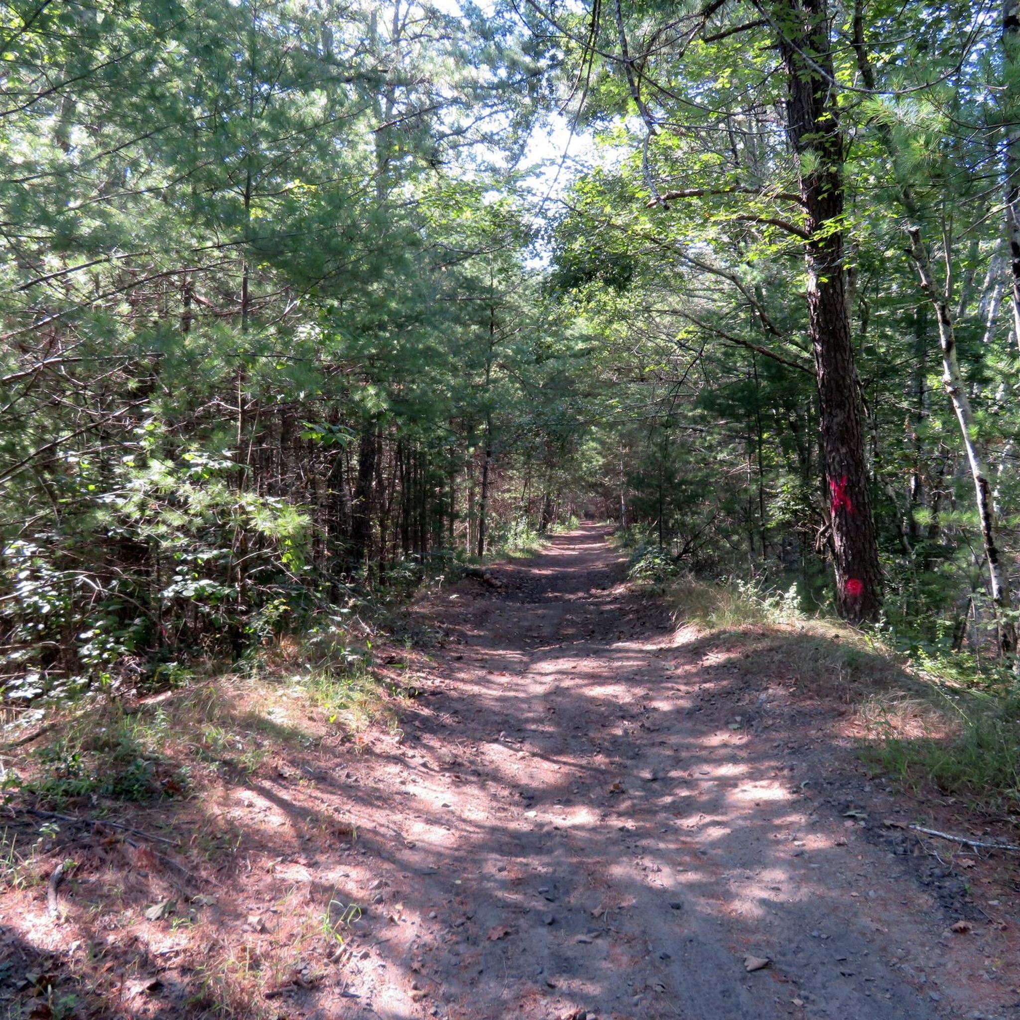
Running Trails in Moosup Valley State Park Trail

Running Trails in Airline State Park Trail (Northern Section)

Running Trails in Quaddick State Forest

Running Trails in Quaddick State Park

Running Trails around Mechanicsville

Running Trails around North Grosvenor Dale

Running Trails in Natchaug State Forest

Running Trails around Willimantic

Running Trails in Beaver Brook State Park

Running Trails in Killingly Pond State Park Reserve
Other adventures in Northeastern Connecticut Planning Region

Tips from the Community

The CCC Trail in the Connecticut Blue Trail System is a 1.2-mile path that concludes at a forestry road. By combining this trail with two forestry roads and a section of the Natchaug Trail, hikers can enjoy a 3.1-mile loop hike.
0
0
The Governor's Island observation deck, located on Pine Acres Pond, features interpretive signs detailing the lake's history and local wildlife. This platform provides an informative and scenic spot for visitors to enjoy views of the pond while learning about the area's natural and historical significance.
0
0
This scenic viewpoint offers a peaceful setting to sit and enjoy the beauty of the surrounding orchard and landscape.
0
0

The Carl Erickson Covered Bridge is a hidden little covered bridge deep in the woods of the George Washington Management Area.
0
0

The Airline State Park Trail is divided into sections, and the northern section spans 21 miles from Windham to Putnam, making it a popular rail trail among hikers, runners, and bikers.
0
0

The Quinebaug Valley Rail Trail is another rail-to-trail project that is just short of six miles long, running from Danielson to Davis Forest. This section at Danielson is a good asphalt shared-use trail. It also forms part of the obviously much longer East Coast Greenway (ECG).
0
0

The East Coast Greenway is a paved multi-use path that passes through 15 states and is over 3,000 miles long from Maine to Florida.
0
0
The Airline State Park Trail is divided into sections, and the northern section spans 21 miles from Windham to Putnam, making it a popular rail trail among hikers, runners, and bikers.
1
0
Frequently Asked Questions
How many running routes are available in Northeastern Connecticut Planning Region?
There are nearly 20 dedicated running routes in the Northeastern Connecticut Planning Region, offering a variety of experiences for different fitness levels. These include 13 moderate routes, 5 difficult routes, and 1 easy route.
What kind of terrain can I expect on jogging trails in Northeastern Connecticut?
The region, often called the "Quiet Corner," features diverse terrain. You'll find extensive forests and farmland, particularly within The Last Green Valley National Heritage Corridor. Trails range from mostly level paths to more challenging routes with elevation changes, protruding rocks, roots, and even water crossings. Many routes follow rail-trails, offering smoother surfaces, while others venture into the Eastern Highlands with ridges and valleys.
Are there any family-friendly running routes in the area?
Yes, several routes are suitable for families, especially those looking for less challenging terrain. Rail-trails like the Quinebaug Valley Rail Trail loop from Danielson offer relatively flat and well-maintained surfaces. The West Thompson Dam – West Thompson Dam loop from Mechanicsville is another moderate option that provides scenic views without excessive difficulty.
Which running routes offer scenic views or pass by natural features?
Many routes in Northeastern Connecticut boast scenic views. The Brown Hill Pond loop from James L. Goodwin Conservation Center offers a picturesque run around the pond. The West Thompson Dam – West Thompson Dam loop from Mechanicsville provides views of the dam area. Additionally, trails often parallel significant waterways like the Willimantic and Hop Rivers, offering refreshing ambiances. For panoramic views, consider routes that ascend to higher elevations in the Eastern Highlands.
What do other runners say about the jogging trails in Northeastern Connecticut?
The running routes in Northeastern Connecticut Planning Region are highly rated by the komoot community, with an average score of 4.7 stars from over 6 reviews. Runners often praise the region's diverse landscapes, the tranquility of the "Quiet Corner," and the variety of trails that cater to different abilities, from gentle paths to more challenging routes with elevation gains.
Are there any circular running routes available?
Yes, many of the popular running routes in the region are designed as loops. Examples include the Brown Hill Pond loop from James L. Goodwin Conservation Center, the West Thompson Dam – West Thompson Dam loop from Mechanicsville, and the Quinebaug Valley Rail Trail loop from Danielson. These circular routes allow you to start and finish at the same point, which is convenient for parking.
Can I find any waterfalls along the running trails?
Yes, the region features natural attractions including waterfalls. You might encounter Acme Pond Waterfall, which adds a beautiful natural element to your run. Trails often follow rivers and streams, increasing the chance of discovering smaller cascades.
What are some notable landmarks or points of interest I can explore near the running routes?
Beyond the trails, the region offers several interesting landmarks. You can find the West Thompson Dam, which is part of a popular running loop. The Danielson Main Street & Broad Street Historic District offers a glimpse into the area's heritage. For a unique trail experience, explore sections of the Air Line & Hop River State Park Trail or the The Trestle Trail.
Are there any long-distance running options for experienced runners?
Absolutely. For experienced runners seeking a challenge, routes like the Orchard Hill Lookout – CCC Trail loop from Pine Acres Lake Boat Launch cover nearly 27 km with significant elevation gain. The Parish Hill loop from Scotland is another difficult option, stretching over 21 km. The extensive rail-trail network, including the Air Line State Park Trail and Hop River State Park Trail, also allows for combining segments for very long continuous runs.
When is the best time of year to go jogging in Northeastern Connecticut?
Northeastern Connecticut is beautiful year-round, but it's particularly renowned for its spectacular fall foliage. During autumn, trees burst into brilliant shades of red and orange, creating a breathtaking backdrop for jogs. Spring and summer offer lush green scenery, while winter can provide unique, tranquil runs, especially on well-maintained rail-trails.
Are there any shaded running routes for warmer days?
Many of the running routes in Northeastern Connecticut pass through extensive forest cover, providing ample shade, especially during warmer months. Rail-trails like the Hop River State Park Trail are largely wooded, offering a cooler experience. Look for routes that traverse state forests or preserves for the most shaded options.
Can I combine running with exploring local culture or historical sites?
Yes, the region's charm is enhanced by its historical character. Route 169, a National Scenic Byway, meanders through the landscape, dotted with historic churches and local cafés. You can plan your run to pass through or near towns with historical districts, such as the Danielson Main Street & Broad Street Historic District, allowing you to combine your run with appreciating local history and culture.
Most popular routes in Northeastern Connecticut Planning Region
Most popular attractions in Northeastern Connecticut Planning Region

Get inspired with the komoot mobile app


Didn’t find what you were looking for?
Check out more Running Trails & Routes throughout Northeastern Connecticut Planning Region below and find the perfect route in your destination.
Explore more
Browse the best Running Trails & Routes in other regions.
