The best road cycling routes in Snohomish County
4.7
(56)
2,376
riders
153
rides
Road cycling in Snohomish County offers diverse landscapes, from the foothills of the Cascade Mountains to the Salish Sea coastline. The region features extensive river valleys, rolling hills, and agricultural areas, providing varied terrain for road cyclists. Paved trails and scenic roads wind through dense forests and past numerous lakes, catering to different preferences. This geographical mix allows for routes ranging from flat, easy rides along riverfronts to more challenging ascents in the eastern parts of the county.
Best road…
Last updated: October 15, 2026
4.8
(8)
176
riders
59.0km
02:40
540m
540m
Moderate road ride. Good fitness required. Mostly well-paved surfaces and easy to ride.
5.0
(3)
180
riders
46.4km
01:50
160m
160m
Easy road ride. Great for any fitness level. Mostly well-paved surfaces and easy to ride.

5.0
(1)
151
riders
Moderate road ride. Good fitness required. Some segments of this route may be unpaved and difficult to ride.
5.0
(2)
116
riders
68.1km
02:44
280m
280m
Moderate road ride. Good fitness required. Mostly well-paved surfaces and easy to ride.
5.0
(2)
95
riders
83.3km
04:16
940m
940m
Hard road ride. Very good fitness required. Some segments of this route may be unpaved and difficult to ride.
5.0
(1)
85
riders
27.9km
01:06
90m
90m
Easy road ride. Great for any fitness level. Mostly well-paved surfaces and easy to ride.
5.0
(1)
70
riders
25.2km
01:00
70m
70m
Easy road ride. Great for any fitness level. Mostly well-paved surfaces and easy to ride.
4.4
(5)
44
riders
29.2km
01:11
120m
120m
Easy road ride. Great for any fitness level. Mostly well-paved surfaces and easy to ride.
4.7
(3)
42
riders
Moderate road ride. Good fitness required. Mostly well-paved surfaces and easy to ride.
90
riders
Moderate road ride. Great for any fitness level. Some segments of this route may be unpaved and difficult to ride.
Get access to more routes and recommendations from other explorers.
Already have an account?
Our route recommendations are based on thousands of hikes, rides, and runs completed by other people on komoot.
Start today with a free account
Your next adventure awaits.
Popular around Snohomish County
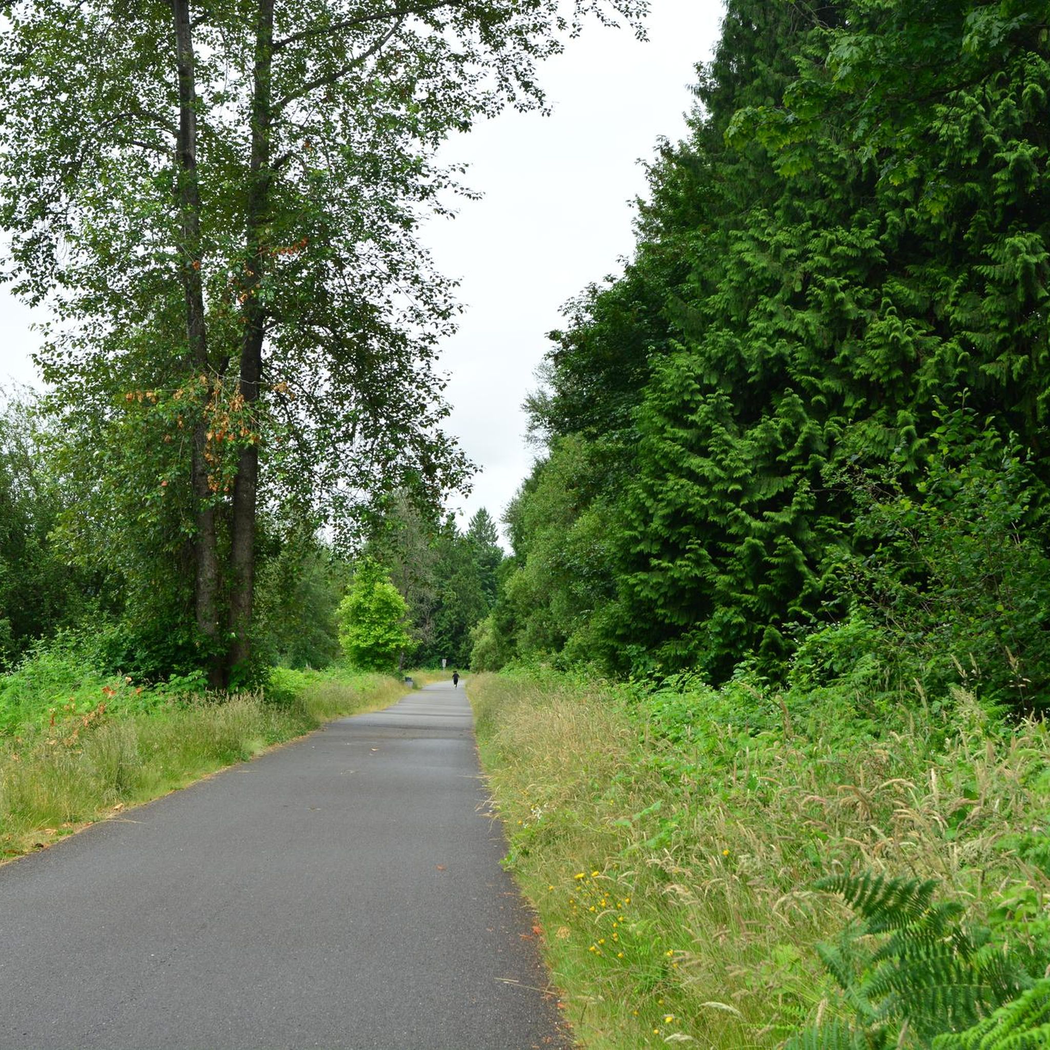
Road Cycling Routes around Lake Stevens
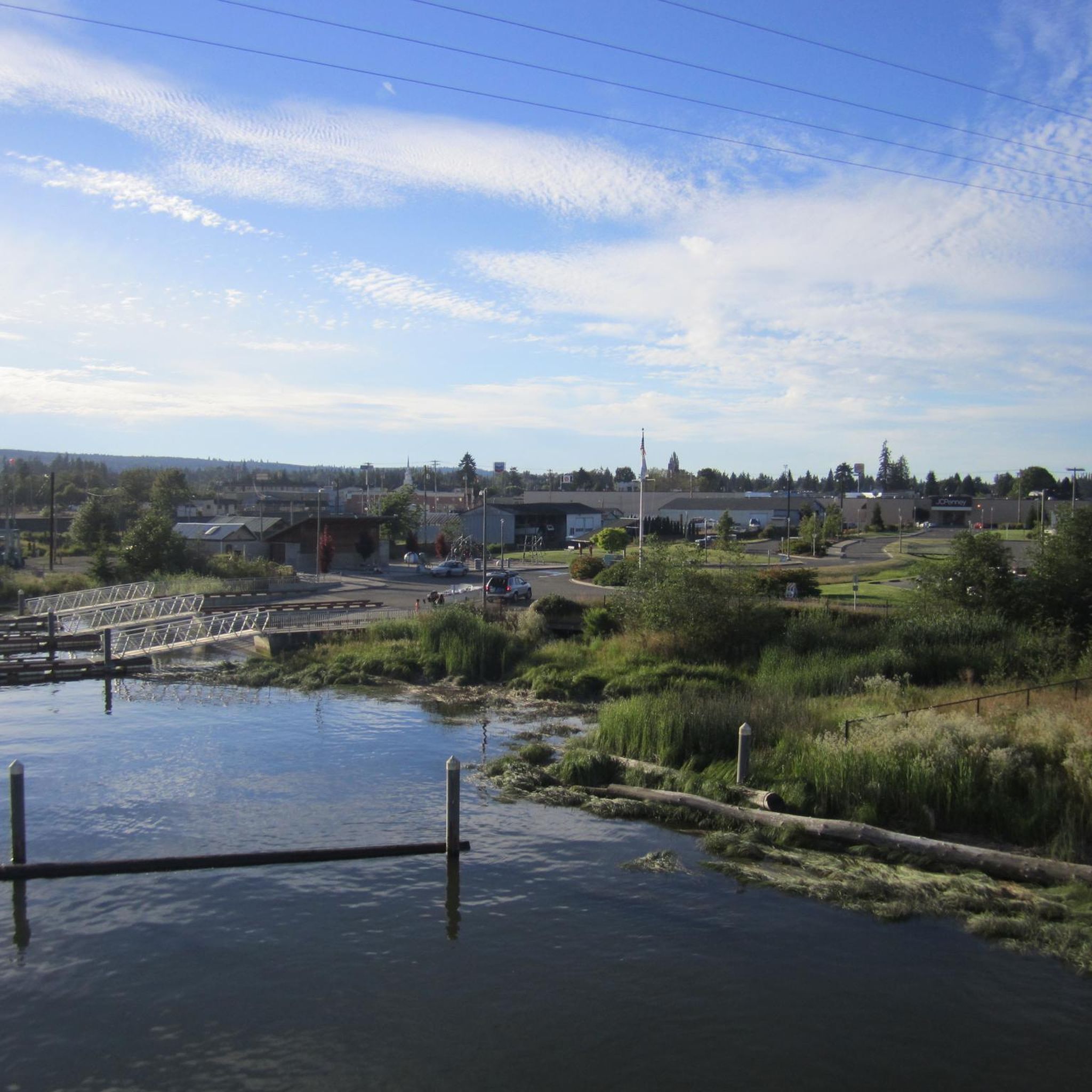
Road Cycling Routes around Marysville
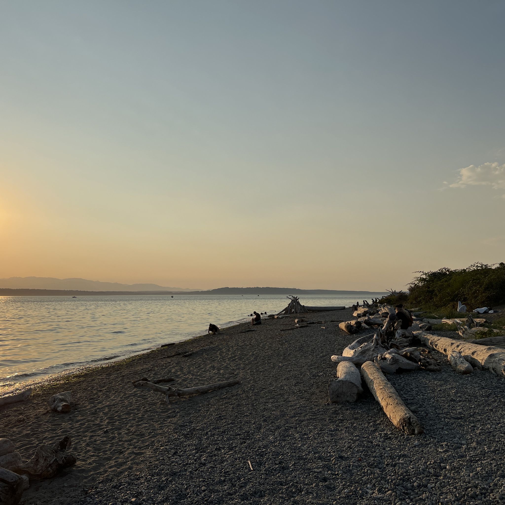
Road Cycling Routes around Woodway
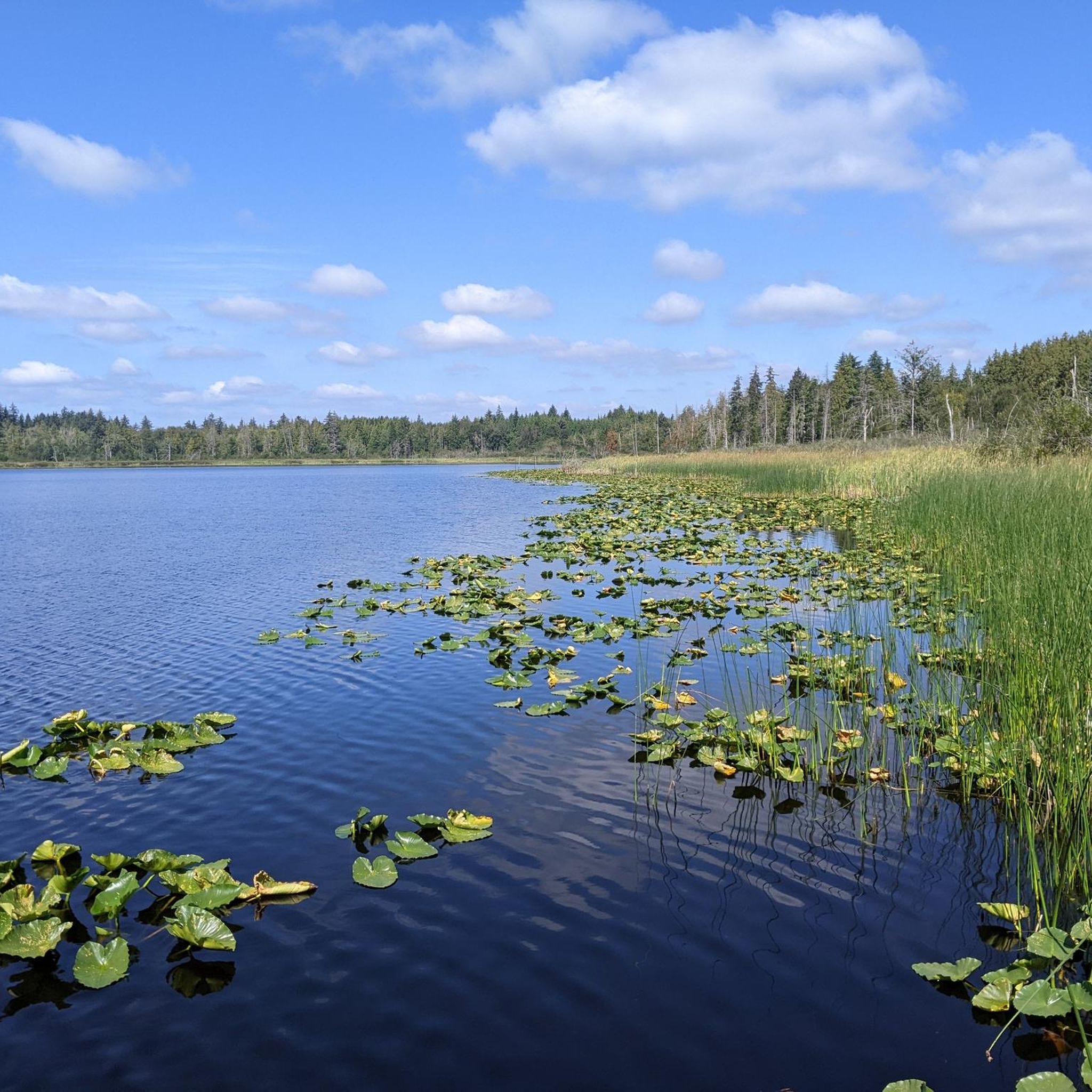
Road Cycling Routes around Lake Cassidy
Road Cycling Routes around Bothell East

Road Cycling Routes around Lochsloy
Road Cycling Routes around North Lynnwood
Road Cycling Routes around Cavalero
Road Cycling Routes around Maltby
Road Cycling Routes around Mountlake Terrace
Tips from the Community

The Lower Duck Pond is right of the side of the North Creek Trail. The pond is true to its name and is home to a lot of ducks.
0
0

Have a good light for those dark sections of the trail when riding at night. Pedestrians often do not have any reflective gear, so be careful
0
0

This section of the Interurban Trail is lots of fun - you break away from streets for 15 blocks and have a wide, green park to travel through. Very quiet neighbors to the East. Bonus, some quirky art installations as well.
1
0

Very pleasant and smooth multi-use path along the foothills between Bryant and Snohomish, with gentle gradients and very few traffic lights. Beware of the bollards at every intersection!
0
0

The Centennial Trail is a fantastic, well-maintained 30-mile paved recreational pathway spanning from Snohomish to Arlington. Ideal for walking, biking, and hiking, it follows the historic Burlington-Northern railroad line. Established in 1989 during the state's centennial celebration, it has since become a beloved route for over half a million people annually, providing an ideal escape from traffic for recreation and commuting.
0
0
Located in the heart of Snohomish, this popular bakery is a fantastic spot with an unbeatable location. It offers delicious bakery items and excellent breakfast and lunch options. The outside covered seating area is the perfect place to start your morning before a day of riding and sightseeing.
1
0

The trail covers about 30 miles, following a historic rail line throughout. You will pass through forests and farmland with creeks running alongside. It features a nicely paved surface, making it an easy hike.
0
0
This spot offers one of the most spectacular views of Lake Cassidy, where visitors can stroll out onto the dock and enjoy a panoramic vista of the water. It provides opportunities for fishing or launching your boat onto the serene waters, making it a perfect spot for outdoor enthusiasts.
0
0
Frequently Asked Questions
What kind of road cycling routes can I expect in Snohomish County?
Snohomish County offers a diverse range of road cycling experiences, from flat, paved rail-trails winding through farmlands and river valleys to more challenging routes with moderate elevation changes in the rolling hills. You'll find routes along the Salish Sea coastline, past numerous lakes, and with views of the Cascade foothills.
Are there many easy road cycling routes suitable for beginners or families?
Yes, Snohomish County has over 50 easy road cycling routes. A great option is the Lake Cassidy – Centennial Trail loop from Getchell, an easy 28.8-mile ride that connects to the popular Centennial Trail. Another gentle option is the Sammamish River Trail loop from Lakeside at Canyon Park Shopping Center, which is 26.3 miles with minimal elevation gain.
What are some scenic road cycling routes with good viewpoints?
Many routes offer scenic views. The Centennial Trail – Lake Cassidy loop from Snohomish, a moderate 43.6-mile route, provides picturesque views of the surrounding countryside and connects to Lake Cassidy. The Lowell Riverfront Trail and Lowell Snohomish River Road are also noted for river views and glimpses of mountains.
Are there any challenging road cycling routes for advanced riders?
For advanced riders seeking a challenge, Snohomish County offers 10 difficult routes. One such route is the Cama Beach State Park – Cama Beach Café loop from Stanwood. This 52.9-mile route features significant elevation gain, reaching over 3,100 feet, and takes you through varied terrain near the coast.
What kind of natural attractions can I see along the road cycling routes?
You can encounter various natural attractions. Many routes pass by lakes like Lake Cassidy and Silver Lake. For those interested in waterfalls, Upper Wallace Falls and Bridal Veil Falls are notable natural monuments in the region, though they may require a short hike off the bike path.
Are there any loop routes available for road cycling?
Yes, many road cycling routes in Snohomish County are designed as loops, allowing you to start and end at the same point. Examples include the Lake Cassidy – Centennial Trail loop from Marysville, a moderate 42-mile ride, and the Centennial Trail loop from Ebey Island Wildlife Area, a 29.3-mile moderate option.
What do other road cyclists enjoy most about cycling in Snohomish County?
The area is highly rated by the komoot community, with an average score of 4.5 stars from over 60 reviews. Cyclists often praise the extensive paved trails, the varied landscapes ranging from river valleys to mountain views, and the options available for all ability levels, from flat, family-friendly paths to routes with moderate elevation changes.
What is the best time of year to go road cycling in Snohomish County?
Snohomish County's temperate climate allows for year-round outdoor enjoyment. However, spring through fall generally offers the most pleasant conditions for road cycling, with milder temperatures and less rain. Always check local weather forecasts before heading out.
Are there any urban cycling routes in the county?
Yes, for a more urban cycling experience, consider the Burke-Gilman Trail loop from Edmonds. This moderate 36.7-mile route extends from Everett to Lynnwood, offering a mix of separated paths and designated bike routes on road shoulders, connecting various communities.
Where can I find parking or trailheads for road cycling routes?
Many popular trails, like the Centennial Trail, have designated trailheads with parking facilities. For instance, the Centennial Trail loop from North Centennial Trail Trailhead is a good option if you're looking to start directly from a trailhead with parking access.
Are there any routes that pass through farmlands or river valleys?
Absolutely. Many routes in Snohomish County wind through picturesque farmlands and extensive river valleys. The Lowell Snohomish River Road is particularly noted for its peaceful ride through river views, and the Tualco Valley outside Monroe offers quiet backroads past farms and barns.
Most popular routes in Snohomish County
Most popular attractions in Snohomish County

Get inspired with the komoot mobile app


Didn’t find what you were looking for?
Check out more Road cycling routes throughout Snohomish County below and find the perfect route in your destination.
Explore more
Browse the best Road cycling routes in other regions.
