The best road cycling routes in Carbon County
4.0
(1)
78
riders
8
rides
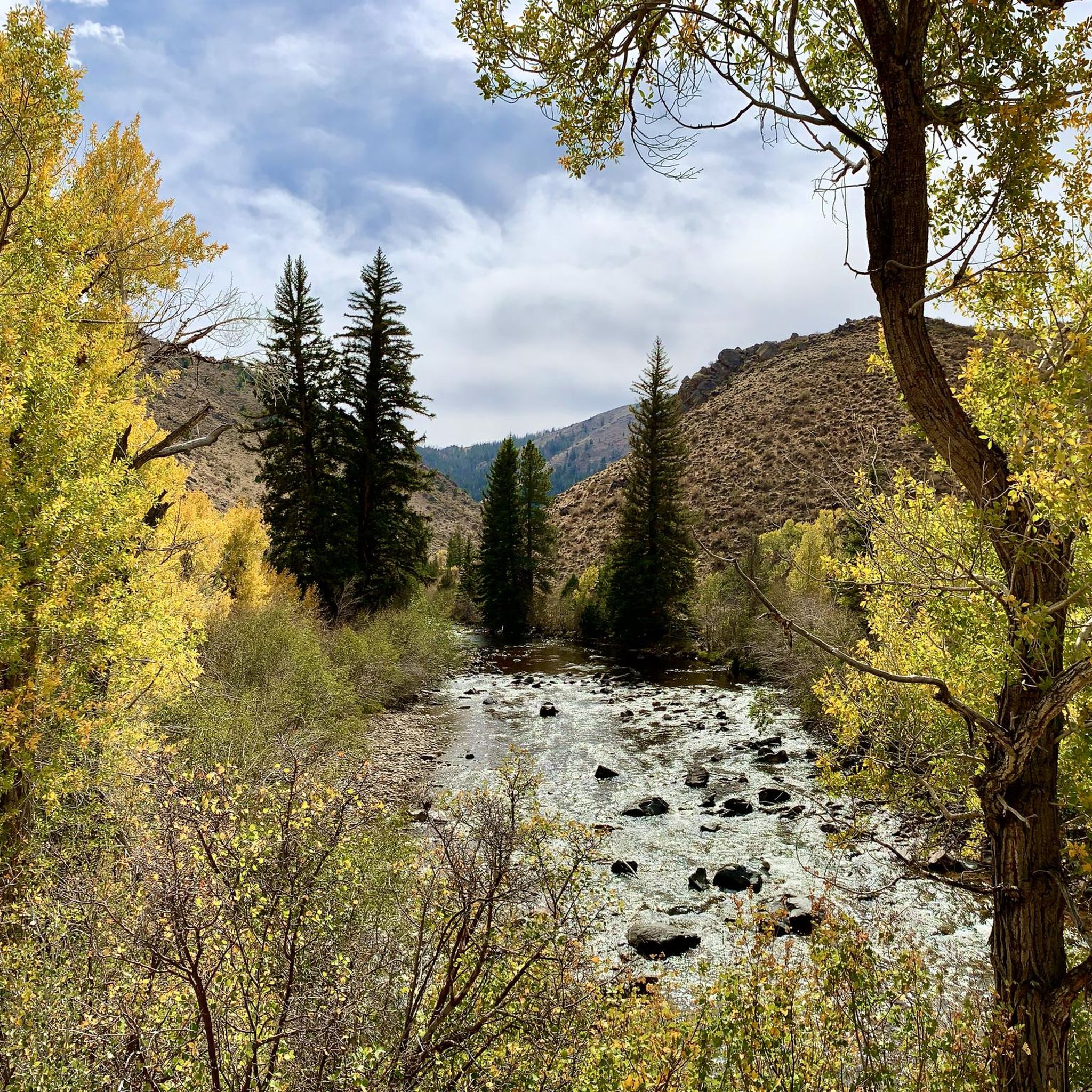
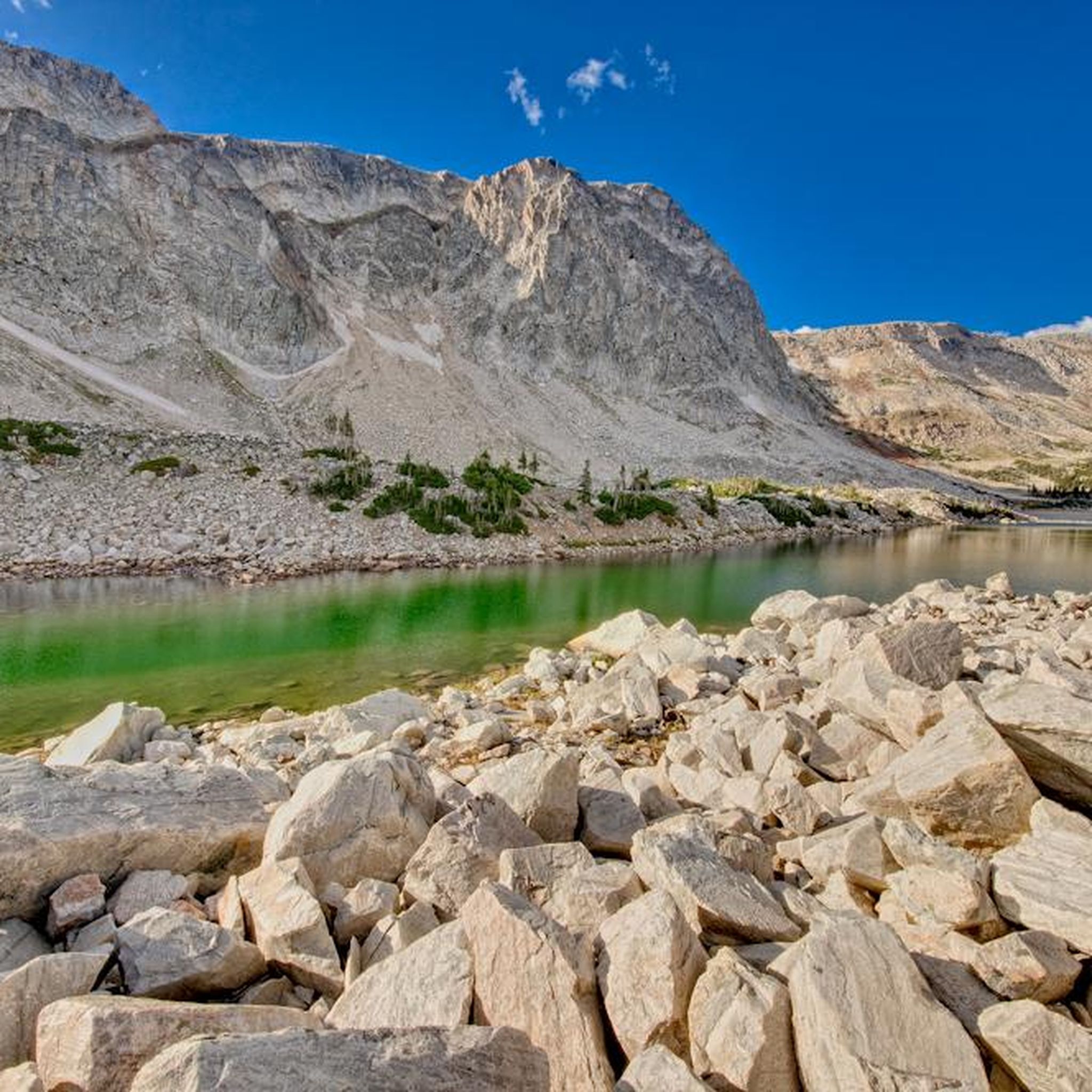
Road cycling in Carbon County, Wyoming, offers diverse landscapes for riders. The region features serene mountains, fertile river valleys, and high deserts, providing varied terrain from rolling hills to significant inclines. Road cyclists can explore routes that traverse these distinct environments, often with scenic views of the surrounding natural beauty. The area's topography supports a range of road cycling experiences.
Best road cycling routes in Carbon County
- The most popular road cycling route is TransAmerica Trail (Wyoming), a 103.3…
Last updated: July 7, 2026
4.0
(1)
54
riders
166km
06:45
840m
840m
Hard road ride. Very good fitness required. Mostly well-paved surfaces and easy to ride.
6
riders
78.8km
03:29
530m
530m
Moderate road ride. Good fitness required. Some segments of this route may be unpaved and difficult to ride.

Sign up for free
5
riders
134km
05:59
560m
560m
Hard road ride. Very good fitness required. Mostly well-paved surfaces and easy to ride.
2
riders
55.2km
02:49
310m
310m
Moderate road ride. Good fitness required. Mostly well-paved surfaces and easy to ride.
1
riders
83.5km
03:55
720m
720m
Moderate road ride. Good fitness required. Mostly well-paved surfaces and easy to ride.
101km
05:25
1,480m
1,480m
Hard road ride. Very good fitness required. Mostly well-paved surfaces and easy to ride.
14.4km
00:55
370m
370m
Moderate road ride. Good fitness required. Mostly well-paved surfaces and easy to ride.
20.2km
01:09
440m
440m
Moderate road ride. Good fitness required. Mostly well-paved surfaces and easy to ride.
Our route recommendations are based on thousands of hikes, rides, and runs completed by other people on komoot.
Start today with a free account
Your next adventure awaits.
Login or Signup




Tips from the Community

This section of Sage Creek Road runs past Teton Reservoir (on the east side of the road). Teton Reservoir is a good place to refill your water bottles in almost any season, as long as you have an appropriate water filter to render the water safe to drink.
1
0
This stretch of Sage Creek Road leads to Sage Creek itself — a good opportunity to fill up your water bottles, if you have a water filter — but the road surface gets rough and unpaved, so you might want to treat this as a turnaround point instead.
1
0
This 25-acre reservoir sits right beside the road. If you've brought a water filter or purifier with you, you can refill your water bottles here — at least during the spring. The water becomes harder to reach as the reservoir's level drops throughout the summer. Keep an eye out for wildlife, as they might be drawn in by the water too.
1
0
This roadside overlook gives you sweeping views out over the landscape, including Battle Mountain to the south, Horse Mountain to the southwest, and Sugarloaf Mountain between the two. To the east/northeast, WY-70 winds into Medicine Bow National Forest.
1
0
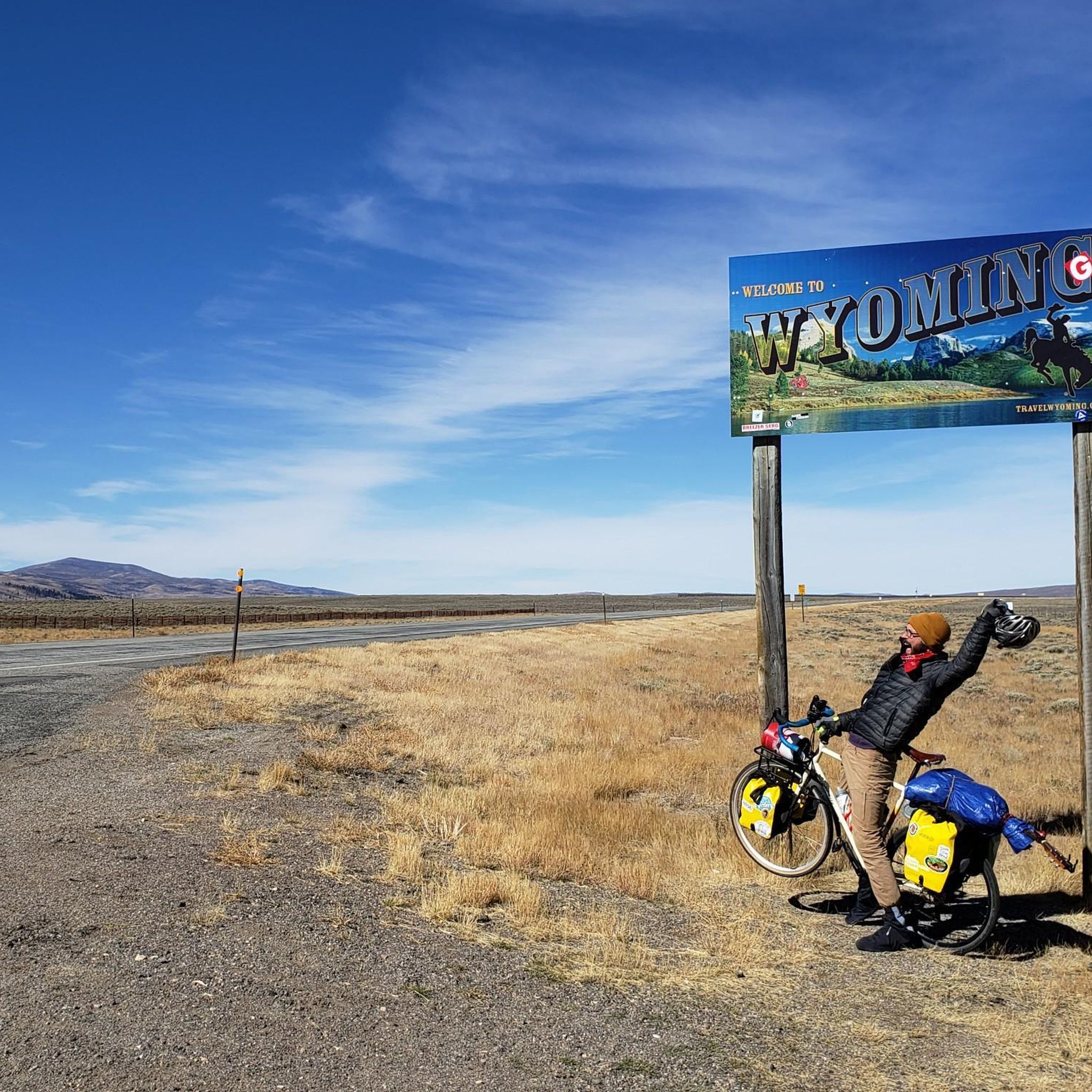
All told, the TransAmerica Trail runs for more than 4,000 miles across the country. Although it's technically a road ride, you'll also see people riding their touring bikes along the paved shoulder. Some folks even go all-in with bikepacking their way along the trail. This segment runs from the twin towns of Encampment-Riverside in Wyoming to the Colorado state line, although of course you can keep biking farther if you like.
2
0
This is actually a road ride — not a separate trail — and it is unbelievably scenic. The entire trail is more than 4,000 miles long; this segment runs from the twin towns of Encampment and Riverside in Wyoming to the Colorado state line with just one section of significant uphill/downhill grade. Of course the trail keeps going beyond that, so you could continue riding farther if you like.
3
0
This section of the TransAmerica Trail runs from Saratoga, Wyoming, through the neighboring communities of Riverside and Encampment, and to the shores of the small, pretty Encampment River. Technically this is a road ride, but it's common to see people here on touring bikes or even full-on bikepacking. The terrain is rolling enough to be interesting, but not so steep that you have to be a serious road biker with quads of steel to manage it. All in all, this is a great place for a relaxed ride in beautiful scenery.
2
0
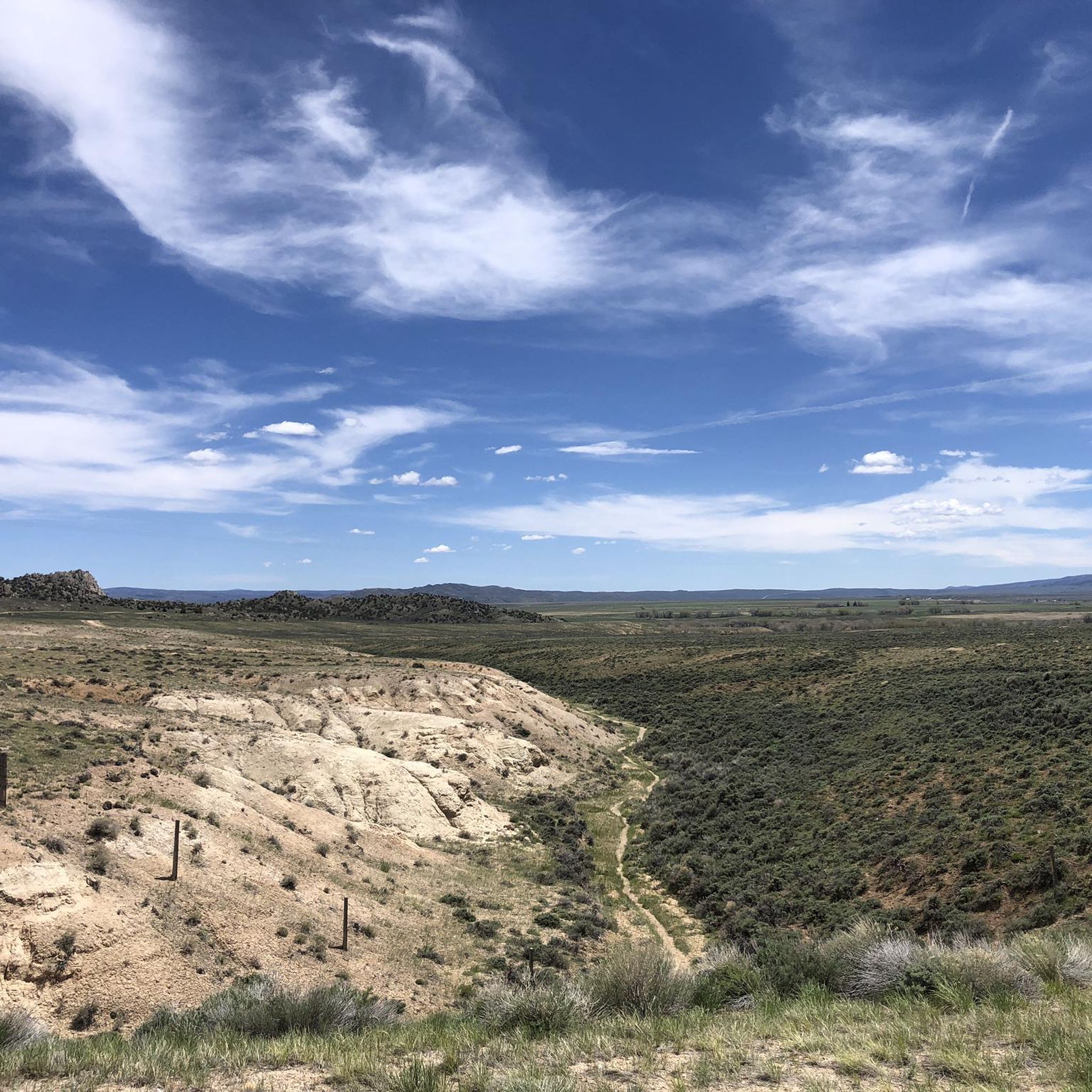
Despite the name this is actually a road ride — a beautiful one, as the wide-open grasslands toward the north of Wyoming give way to the rolling foothills that herald the approach of much higher-elevation peaks in nearby Medicine Bow National Forest and Huston Park Wilderness.
2
0
Frequently Asked Questions
How many road cycling routes are available in Carbon County?
Carbon County offers a selection of 8 road cycling routes, catering to various skill levels. These routes traverse diverse landscapes, from serene mountains to high deserts.
Are there any challenging road cycling routes for experienced riders?
Yes, Carbon County features several challenging routes. For instance, the Reader to Battle Pass road ride is a difficult 100.9 km path with significant elevation changes, leading through mountainous terrain. Another demanding option is the TransAmerica Trail: Rawlins to Saratoga, which covers 134.5 km through high desert and river valley landscapes.
What kind of terrain can I expect on road cycling routes in Carbon County?
Road cycling in Carbon County offers a wide variety of terrain. You'll encounter serene mountains, fertile river valleys, and high deserts. Routes can feature anything from rolling hills to significant inclines and declines, providing diverse experiences for riders.
Are there any loop road cycling routes in Carbon County?
Yes, there is at least one notable loop route. The Barber Lake Road and Snowy Range Road loop is a moderate 14.4 km ride, offering a scenic circular experience.
What scenic attractions or landmarks can I see along the road cycling routes?
Carbon County's routes often pass through or near stunning natural features. You might encounter scenic canyons along the North Platte River, or enjoy the dramatic backdrops of the Medicine Bow National Forest. Specific highlights include Green Mountain Falls Trail and the historical Rawlins Paint Mines.
What is the community's general opinion of road cycling in Carbon County?
The road cycling routes in Carbon County are highly rated by the komoot community, holding an average score of 4.0 stars. Riders often praise the varied terrain and expansive views offered by the region's diverse landscapes.
Are there any moderate-difficulty road cycling routes suitable for intermediate riders?
Absolutely. Many routes in Carbon County are classified as moderate. For example, the Sage Creek Road (Rawlins to Sage Creek) is a moderate 78.7 km route, and the TransAmerica Trail: Saratoga to Encampment-Riverside offers a moderate 55.1 km ride.
When is the best time of year for road cycling in Carbon County?
Carbon County experiences distinct seasons. While specific recommendations depend on the route and elevation, generally, late spring through early fall offers the most favorable conditions for road cycling, with milder temperatures and less chance of snow, especially in higher elevations like those found in the Medicine Bow National Forest.
Are there any segments of the TransAmerica Trail that pass through Carbon County?
Yes, several segments of the iconic TransAmerica Trail traverse Carbon County. These include the main TransAmerica Trail (Wyoming), as well as specific sections like Rawlins to Saratoga and Encampment to Colorado State Line.
What should I bring for a road cycling trip in Carbon County?
Given the varied terrain and potential for changing weather, it's advisable to bring layers of clothing, sufficient water and snacks, a repair kit, and navigation tools. For longer rides, consider a GPS device or a fully charged phone with offline maps, as cell service can be spotty in remote areas.
Are there any routes that offer views of the Medicine Bow National Forest?
Yes, routes that venture into the mountainous regions of Carbon County, particularly those in the eastern part of the county, will offer stunning views of the Medicine Bow National Forest. This sprawling area provides a dramatic backdrop of mountain peaks and pristine lakes for your ride.
What is the longest road cycling route available?
The longest road cycling route featured is the TransAmerica Trail (Wyoming), which spans 166.3 km (103.3 miles). This difficult route offers expansive views and varied terrain across the county.
Most popular attractions in Carbon County

Get inspired with the komoot mobile app


Explore more
Browse the best Road cycling routes in other regions.
