The best walks and hikes around Dånviken
4.4
(28)
166
hikers
23
hikes
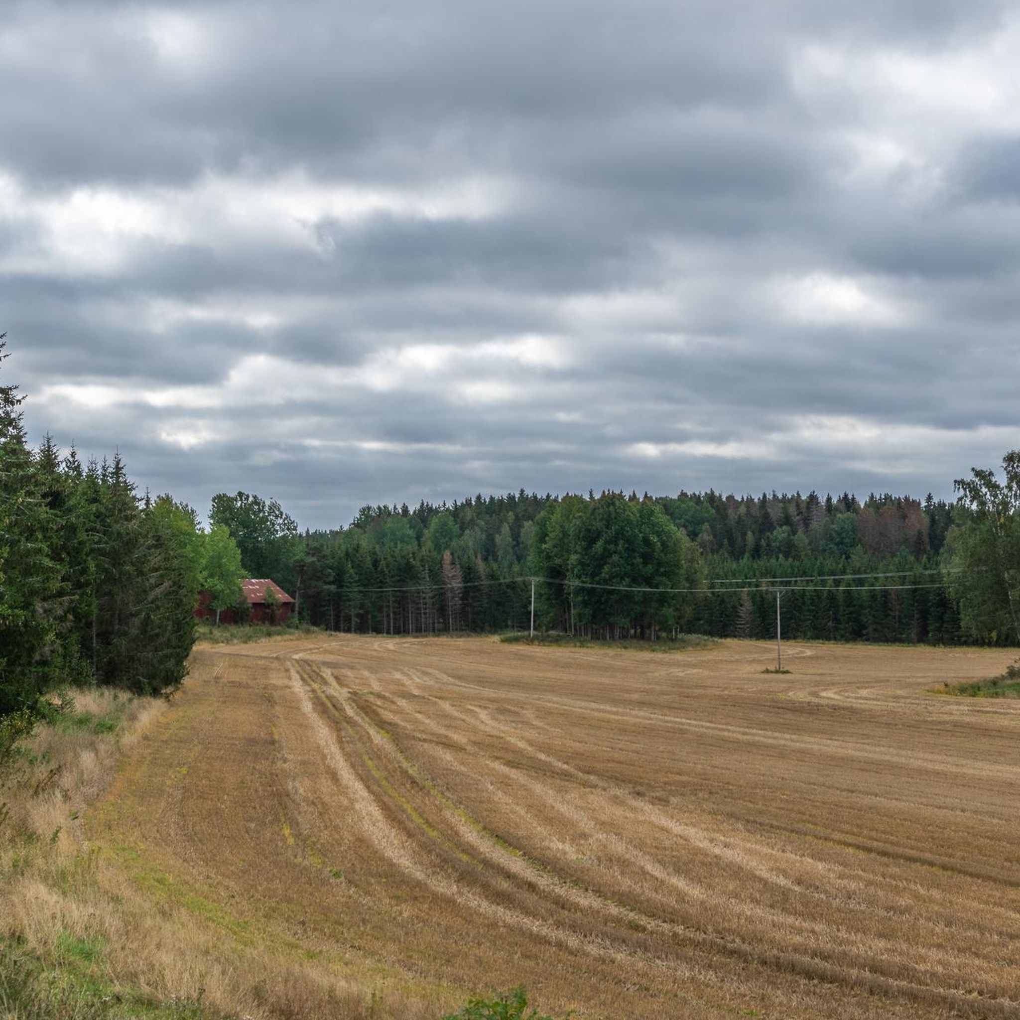
Hiking around Dånviken features a "Sprickdal landscape on Södertörn," characterized by a mix of natural environments including significant forest cover and agricultural land. Dånviken itself is a relatively shallow lake, situated 16.5 meters above sea level, providing a central natural feature for the region's trails. This combination of woodlands and water creates varied terrain for outdoor activities, offering diverse landscapes for hikers.
Best hiking trails around Dånviken
- The most popular hiking route is Flaten loop from Nytorp, a 2.8 miles (4.5 km) trail that takes 1 hour 9 minutes to complete. This easy loop offers accessible paths suitable for various fitness levels.
- Another top favourite among local hikers is Rönninge Trail and MTB Route loop from Rönninge, an easy 2.1 miles (3.3 km) path. This route winds through varied terrain and is also popular for mountain biking.
- Local hikers also love the Bornsjön Nature Trail, a 2.7 miles (4.3 km) trail leading through natural landscapes, often completed in about 1 hour 10 minutes.
- Hiking around Dånviken is defined by its "Sprickdal landscape," extensive forests, and the presence of the lake itself. The network offers options for different ability levels, from easy walks to more challenging routes.
- The routes in Dånviken are highly rated by the komoot community with an average score of 4.3 stars from over 30 reviews. More than 180 hikers have used komoot to explore Dånviken's varied terrain.
Last updated: October 16, 2026
2.0
(1)
5
hikers
4.29km
01:10
60m
60m
Hike the easy 2.7-mile Skårby loop in Bornsjön Nature Reserve, exploring varied terrain, a Bronze Age cairn, and views of Bornsjön lake.
2
hikers
8.02km
02:09
100m
100m
Moderate hike. Good fitness required. Easily-accessible paths. Suitable for all skill levels.

4.0
(1)
5
hikers
4.03km
01:03
30m
30m
Easy hike. Great for any fitness level. Easily-accessible paths. Suitable for all skill levels.
5
hikers
8.65km
02:16
80m
60m
Moderate hike. Good fitness required. Easily-accessible paths. Suitable for all skill levels.
5.0
(2)
9
hikers
7.76km
02:02
70m
70m
Moderate hike. Good fitness required. Easily-accessible paths. Suitable for all skill levels.
Get access to more routes and recommendations from other explorers.
Already have an account?
Our route recommendations are based on thousands of hikes, rides, and runs completed by other people on komoot.
Start today with a free account
Your next adventure awaits.

Tips from the Community

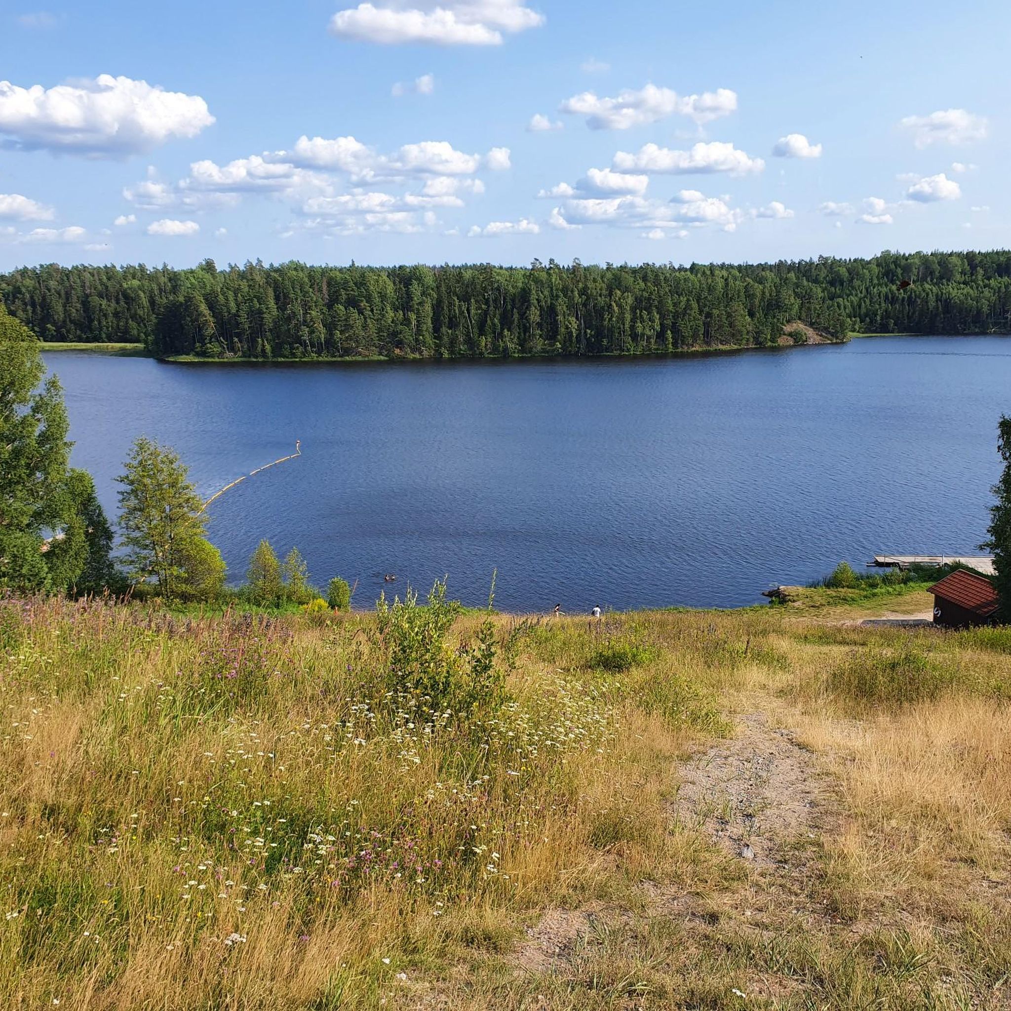
This is one of the highest sections of the Bornsjön Nature Trail, a fine 4.5-kilometer (2.8-mi) loop in the nature reserve of the same name. From here, there's a picnic area to the west. Be aware that swimming isn't allowed in Bornsjön, as it's a protected lake that provides drinking water to the Stockholm region.
0
0
Fågelsta sits within the Bornsjön Nature Reserve, just a short hop from Stockholm. The reserve's deep deciduous woodland is a treat in spring, when wildflowers abound. A rich history is also apparent courtesy of the area's runestones, ancient graves and hillforts.
0
0
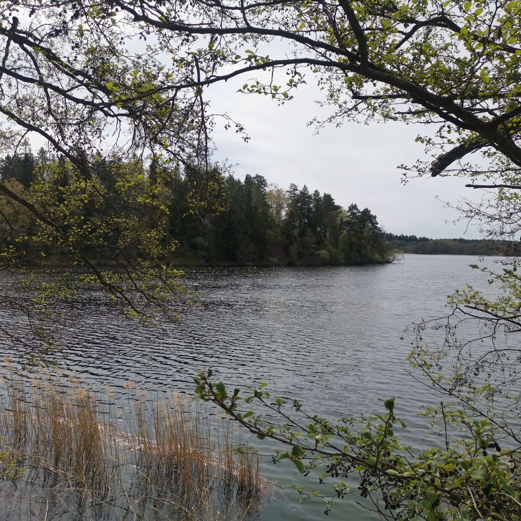
Bornsjön is a protected lake that supplies water to the Stockholm region. The surrounding pastures and deep forests benefit from a number of trails, all part of the Bornsjön Nature Reserve, managed by Stockholm Vatten och Avfall.
0
0

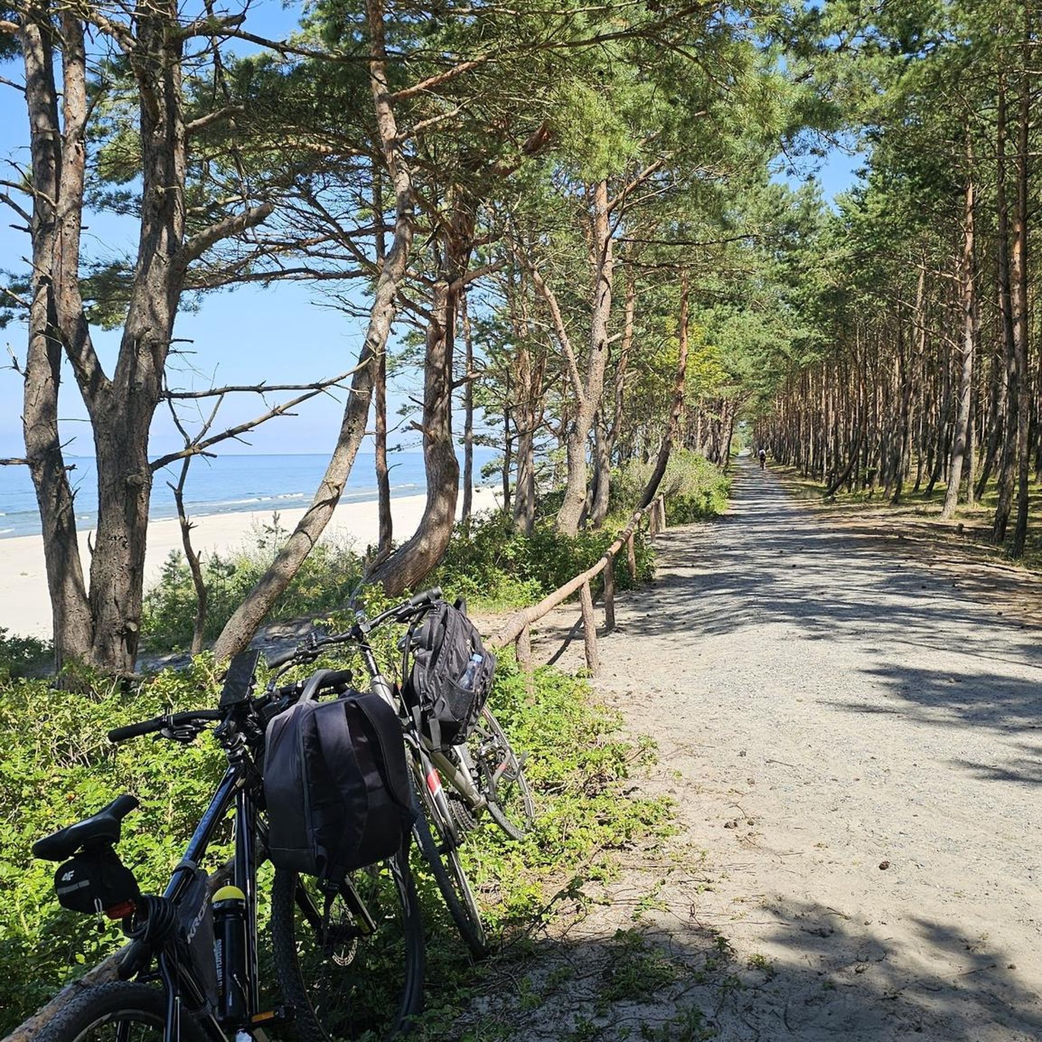
In the southwest of Södertälje lies an idyllic waterfront recreational area. The wooded peninsula juts out quite a distance into the lake, which is a popular spot for swimming in the summer. Several paths for pedestrians and cyclists run along the shore here.
0
0
The center of Södertälje is nestled along the canal, which sees heavy boat traffic. The city park is also located here, making the waterfront promenade a lovely place for walks and strolls.
0
0

A viewpoint in the center of Bornsjön, right by the road. There is no signed path leading up here, but the view makes the climb well worth it. From the top you have a good chance of seeing birds of prey, so bring binoculars if you got some.
0
0

beautiful park surrounded by nature. there are beach volley courts and also some barbecue. There is also the possibility to swim.
2
0

Frequently Asked Questions
How many hiking trails are available around Dånviken?
There are over 30 hiking trails and walks to explore around Dånviken, offering a wide range of options for different preferences and fitness levels.
What kind of landscape and terrain can I expect on hikes in Dånviken?
The Dånviken area is characterized by its unique "Sprickdal landscape on Södertörn," featuring a diverse mix of natural environments. You'll encounter extensive forests, which cover a significant portion of the drainage area, alongside agricultural land and the relatively shallow Dånviken lake itself. This combination creates varied terrain, from easy paths to more challenging routes with some elevation.
Are there easy hiking options suitable for families or beginners?
Yes, Dånviken offers many easy hiking options. Out of the over 30 trails, 23 are rated as easy, making them suitable for families, beginners, or those looking for a relaxed walk. An example is the Flaten loop from Rönninge, which is an easy 4 km route.
Are there any circular hiking routes in Dånviken?
Yes, many of the trails around Dånviken are designed as loops, allowing you to start and end at the same point. Popular circular routes include the Flaten loop from Nytorp and the Rönninge Trail and MTB Route loop from Rönninge.
What do other hikers enjoy most about the trails in Dånviken?
The trails around Dånviken are highly rated by the komoot community, with an average score of 4.3 stars from over 30 reviews. Hikers often praise the varied terrain, the peaceful forest sections, and the accessibility of many paths, making it a popular choice for outdoor enthusiasts.
Can I reach the Dånviken hiking trails using public transport?
While specific public transport connections vary, many areas around Dånviken are generally accessible. It's advisable to check local bus schedules to nearby towns like Rönninge or Salem, which may offer connections close to trailheads. Planning your route in advance using a public transport app is recommended.
Is there parking available near the trailheads?
Parking availability can vary by trailhead. For popular starting points like those for the Mälarbadet loop from Grusåsen, you can often find designated parking areas. It's always a good idea to check the specific route details on komoot for information on parking at the start of your chosen hike.
Are there any viewpoints or scenic spots along the Dånviken trails?
While Dånviken itself is a scenic lake, the broader region offers natural beauty. A notable viewpoint in the center of Bornsjön, a nearby area, provides panoramic views and opportunities to spot birds of prey. The trails often wind through picturesque forests and along the lake, offering many serene spots to enjoy the natural surroundings.
What other activities can I do in the Dånviken area besides hiking?
Beyond hiking, Dånviken and its surroundings are great for other outdoor pursuits. The lake is suitable for swimming, and fishing for pike and perch is popular. You can also enjoy cycling, mountain biking, and road cycling on various routes. Some areas even offer facilities for beach volleyball and barbecuing.
What is the best time of year to go hiking in Dånviken?
Dånviken offers enjoyable hiking experiences throughout much of the year. Spring and autumn provide pleasant temperatures and beautiful scenery with changing foliage. Summer is ideal for combining hikes with swimming in the lake. Even winter can be beautiful for a crisp walk, though some paths might be icy or snowy.
Are there any moderate or challenging hikes for experienced hikers?
Yes, while many trails are easy, Dånviken also offers options for more experienced hikers. There are 7 moderate trails and 1 difficult trail among the available routes. These routes can extend over five hours and involve more significant elevation, requiring good fitness and sure-footedness.
Can I hike with my dog on the trails around Dånviken?
Generally, dogs are welcome on hiking trails in Sweden, but it's important to keep them on a leash, especially during certain times of the year (March 1 to August 20) to protect wildlife. Always ensure your dog is under control and follow any specific signage or local regulations posted along the trails.
Most popular routes around Dånviken

Get inspired with the komoot mobile app


Explore more
Browse the best Hikes in other regions.
