The best walks and hikes around Krokfjorden
4.5
(50)
153
hikers
14
hikes
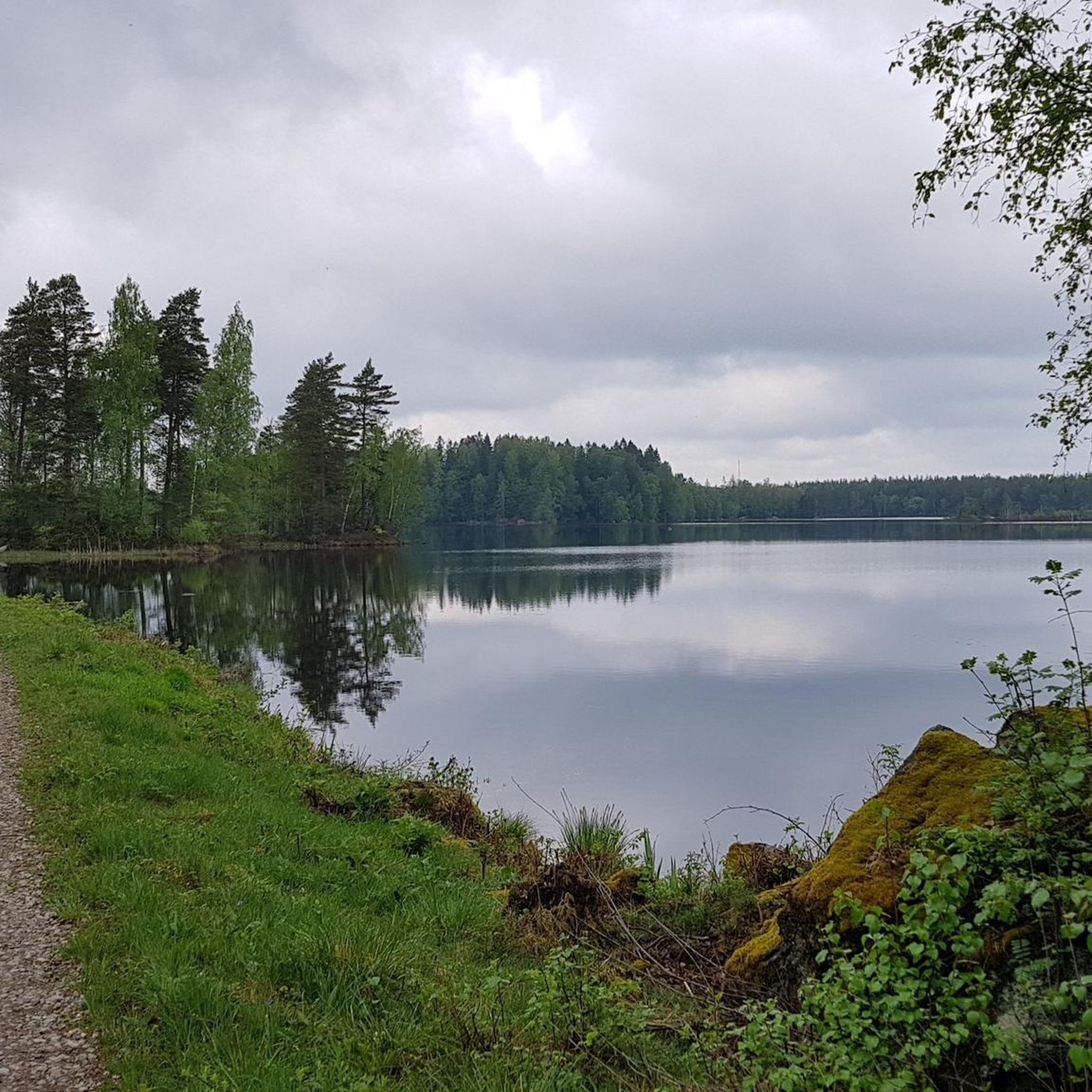
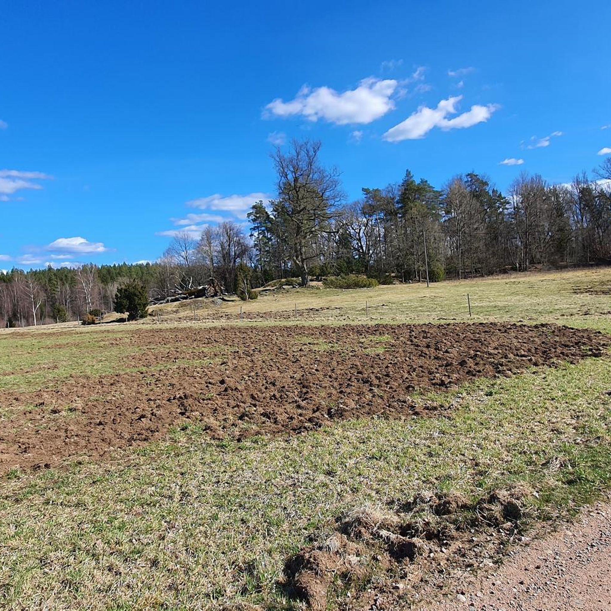
Hiking around Krokfjorden offers a network of trails through varied terrain. The region is characterized by its expansive lake, dense woodlands, and scattered boulder formations. Trails often follow the lakeside, providing views across the water, and lead through forests with gentle elevation changes. The landscape is typical of southern Sweden, featuring a mix of natural beauty and accessible paths.
Best hiking trails around Krokfjorden
- The most popular hiking route is Boulders Near Lille Landa – Lakeside at Konga loop from…
Last updated: June 24, 2026
4.8
(13)
23
hikers
16.3km
04:12
80m
80m
Moderate hike. Good fitness required. Easily-accessible paths. Suitable for all skill levels.
5.0
(1)
6
hikers
18.9km
04:53
110m
110m
Moderate hike. Good fitness required. Easily-accessible paths. Suitable for all skill levels.

Sign up for free
4.5
(2)
3
hikers
12.5km
03:14
60m
60m
Moderate hike. Good fitness required. Easily-accessible paths. Suitable for all skill levels.
5.0
(8)
15
hikers
13.2km
03:23
60m
60m
Moderate hike. Good fitness required. Easily-accessible paths. Suitable for all skill levels.
5.0
(2)
7
hikers
11.6km
02:59
60m
60m
Moderate hike. Good fitness required. Easily-accessible paths. Suitable for all skill levels.
Get access to more routes and recommendations from other explorers.
Sign up for free
Already have an account?
Our route recommendations are based on thousands of hikes, rides, and runs completed by other people on komoot.
Start today with a free account
Your next adventure awaits.
Login or Signup
Popular around Krokfjorden
Tips from the Community


An interesting monument from ancient times is the cave in Flishult “Klostergrottan”. The cave is a natural formation in the rock and a large boulder was pushed out of a rock face, creating a large cavity with a protruding roof. The cave, which is thus completely open at the front, is about 6 meters wide and 3.5 meters deep and has a height of 2-3 meters. The pushed out boulder lies like a table in front of the opening. In the early 1930s, an archaeological investigation was carried out and several signs were found that the cave had been inhabited during the Neolithic period. The sparse finds consisted of arrowheads, splinters and fragments of flint, pieces of greenstone axes, pieces of bone and charcoal. It was assumed that the cave was hardly used as a dwelling for long periods of time, but rather as a place to stay overnight during hunting and fishing activities. https://www.naturkartan.se/de/kronobergs-lan/klostergrottan
1
0
Konga is an urban area in the parish of Tingsryd in Kronoberg County, which is located on the Ronneby River. The name of the place was originally the village of Örmo in the municipality of Södra Sandsjö, but with the introduction of the railway with Bredåkra - Tingsryds Järnväg in 1896, it took over the name of the district when the station was named Konga. The city with around 460 inhabitants is located on Ronnebyån and the 120 motorway in the direction of Kalmar went through the village from the start. The street is now on the fringes of society. From road 120 a smaller road leads towards Hallabro in Blekinge. This street is now called Ronnybyvägen in the municipality. Source: https://sv.wikipedia.org/wiki/Konga
1
1

This is not one of the classic wind shelters for hikers or bikers, but a large wilderness hut with benches in front and in the hut. The firepit is in the center of the hut. It is a nice spot for a break or to spend the night. You can pitch a tent next to the hut and enjoy the beautiful lake view.
4
0
The Klostergrottan is an interesting natural formation from the earliest times. Large rock blocks appear to have been squeezed out of a rock wall with the result of leaving behind a large cavity with a protruding roof. The front is open. The cave is approximately 6 metres wide and 3.5 metres deep and has a height of 2 to 3 metres. An archaeological survey was carried out in the early 1930s, and several signs were found that the cave was inhabited during younger stone age. The sparse finds consisted of arrows, particles and fragments of flint, pieces of green-stone acids, pieces of bone and coal. It was argued that the cave hardly served as a home for a long time, but served as a shelter for a stay during hunting and fishing. There is a parking lot close by if you want to take a short hike to this impressive place.
1
0

The first section through the forest (directly behind Lille Landa) is not passable because after about 1.5 km the path leads to private property. So back, further on the road and later back on the route.
1
0
Frequently Asked Questions
How many hiking trails are available in Krokfjorden?
Krokfjorden offers a selection of nearly 20 hiking trails. These routes cater to various skill levels, with 6 easy trails and 11 moderate options, ensuring there's something for everyone to explore.
What kind of terrain can I expect on hikes around Krokfjorden?
The terrain around Krokfjorden is characteristic of southern Sweden, featuring a mix of natural beauty. You can expect expansive lakeside paths, dense woodlands, and areas with scattered boulder formations. The elevation changes are generally gentle, making for accessible paths.
Are there any easy hiking trails suitable for beginners or families in Krokfjorden?
Yes, Krokfjorden has 6 easy hiking trails that are well-suited for beginners or families looking for a more relaxed experience. These paths typically feature gentle elevation changes and pleasant scenery, making them ideal for a leisurely walk.
What do other hikers say about the trails in Krokfjorden?
The hiking trails in Krokfjorden are highly regarded by the komoot community, with an average rating of 4.3 stars from over 70 reviews. Hikers often praise the region's varied terrain, from serene lakeside paths to tranquil forest sections, and the well-maintained routes.
Are there any circular hiking routes around Krokfjorden?
Many of the trails around Krokfjorden are designed as loops, offering a complete experience without retracing your steps. For example, the Boulders Near Lille Landa – Lakeside at Konga loop from Konga is a popular moderate circular route, as is the Klostergrottan Cave loop from Konga.
Can I bring my dog on the hiking trails in Krokfjorden?
Generally, dogs are welcome on hiking trails in Sweden, including those around Krokfjorden, provided they are kept on a leash. This is especially important during certain times of the year to protect wildlife. Always ensure your dog is under control and clean up after them.
What is the best time of year to go hiking in Krokfjorden?
The best time for hiking in Krokfjorden is typically from spring through autumn (May to October). During these months, the weather is milder, the trails are clear of snow, and the natural scenery is vibrant. Autumn offers particularly beautiful foliage.
Are there options for winter hiking in Krokfjorden?
While Krokfjorden is primarily known for its spring to autumn hiking, some trails may be accessible for winter hiking, especially those at lower elevations or well-trodden paths. However, be prepared for snow and ice, and ensure you have appropriate gear. Always check local conditions before heading out.
Where can I find parking for the Krokfjorden hiking trails?
Many of the trails around Krokfjorden start from villages like Konga and Fagerfors, where you can often find designated parking areas. For instance, routes like the Klostergrottan Cave – Boulders Near Lille Landa loop from Konga typically have parking available near their starting points in Konga.
Are there any notable landmarks or points of interest to see while hiking?
Yes, several trails incorporate interesting features. For example, the Klostergrottan Cave – Boulders Near Lille Landa loop from Konga explores forested areas and leads towards the vicinity of Klostergrottan, a notable cave. You'll also encounter impressive boulder formations along many lakeside paths.
What kind of wildlife might I encounter on the trails around Krokfjorden?
The dense woodlands and lakeside environments of Krokfjorden are home to various wildlife. You might spot common forest animals like deer, foxes, and a variety of bird species. Keep an eye out for waterfowl near the lake and listen for the sounds of the forest.
Are there any cafes or places to eat near the Krokfjorden hiking trails?
The villages surrounding Krokfjorden, such as Konga and Fagerfors, may offer local amenities including small cafes or eateries where you can refuel before or after your hike. It's advisable to check opening hours in advance, especially outside of peak season.
What should I pack for a hike in Krokfjorden?
For hiking in Krokfjorden, it's recommended to pack layers of clothing suitable for varying weather, sturdy hiking boots, water, snacks, and a map or GPS device. Depending on the season, insect repellent and rain gear can also be very useful. Always carry a fully charged phone for emergencies.

Get inspired with the komoot mobile app


Explore more
Browse the best Hikes in other regions.
