The best running trails around Cuenca Minera
3.5
(2)
335
runners
35
runs
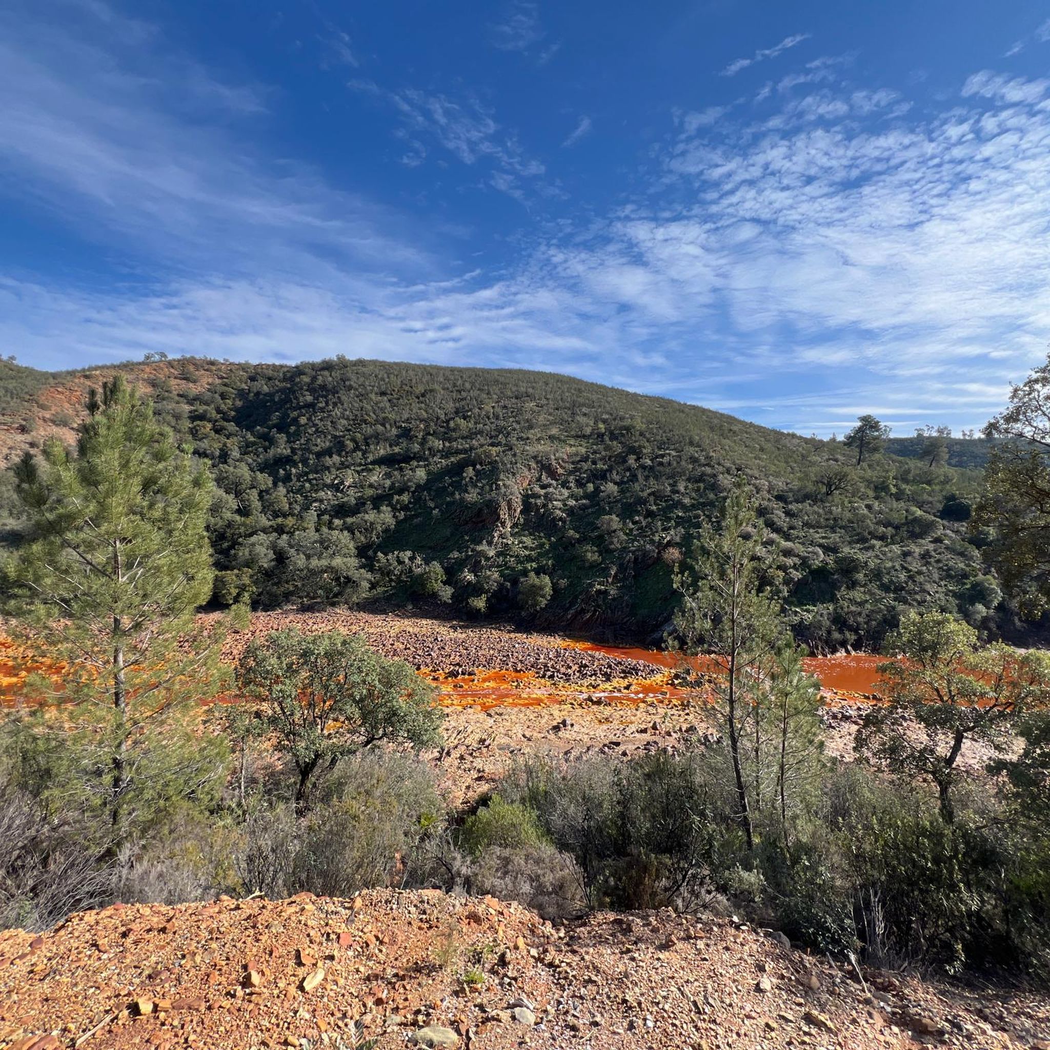
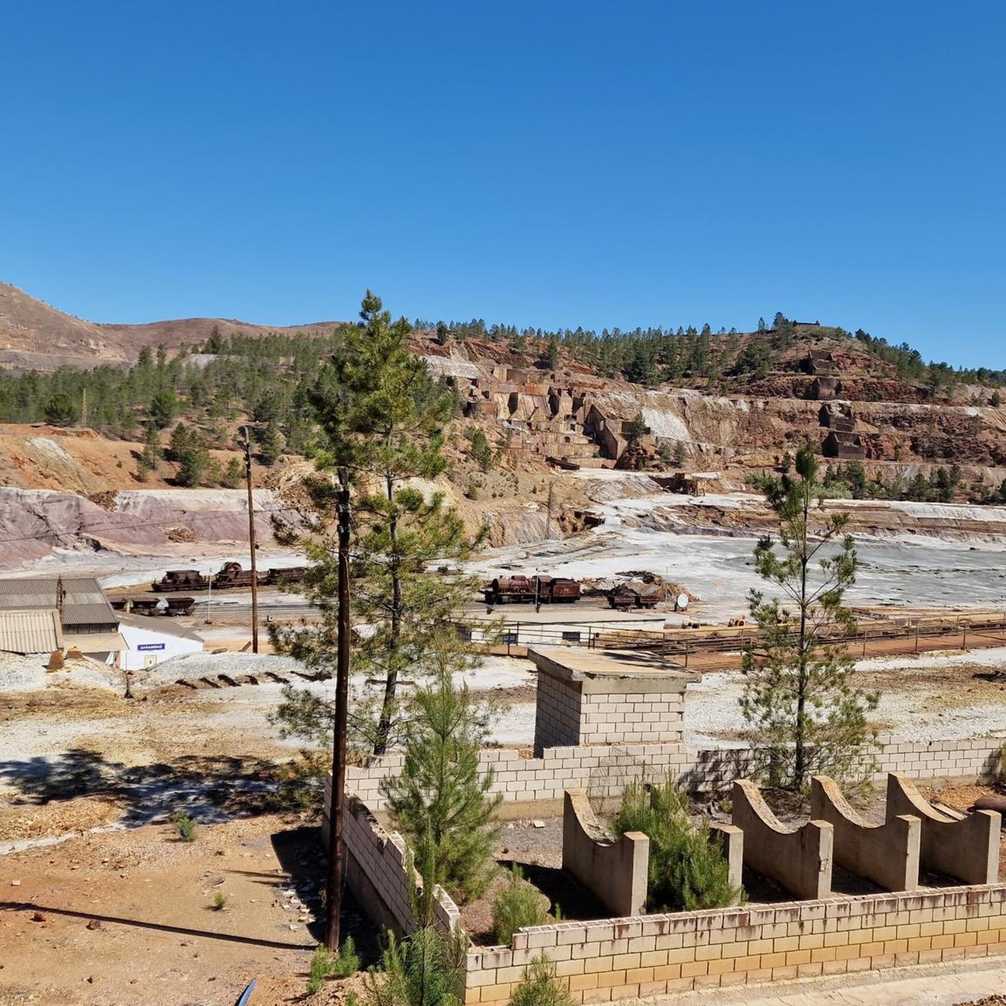
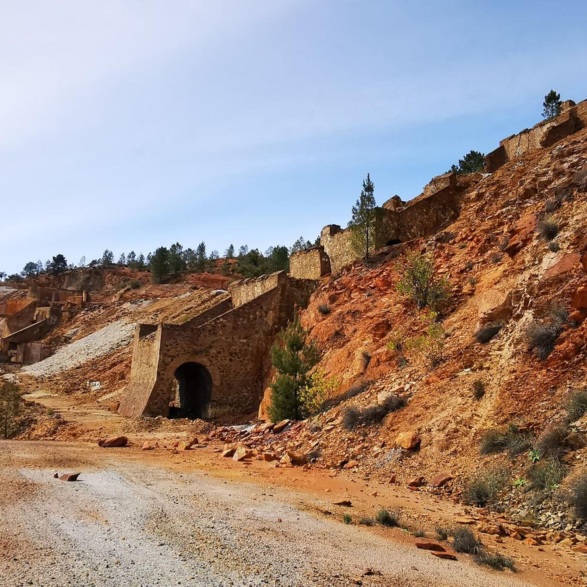
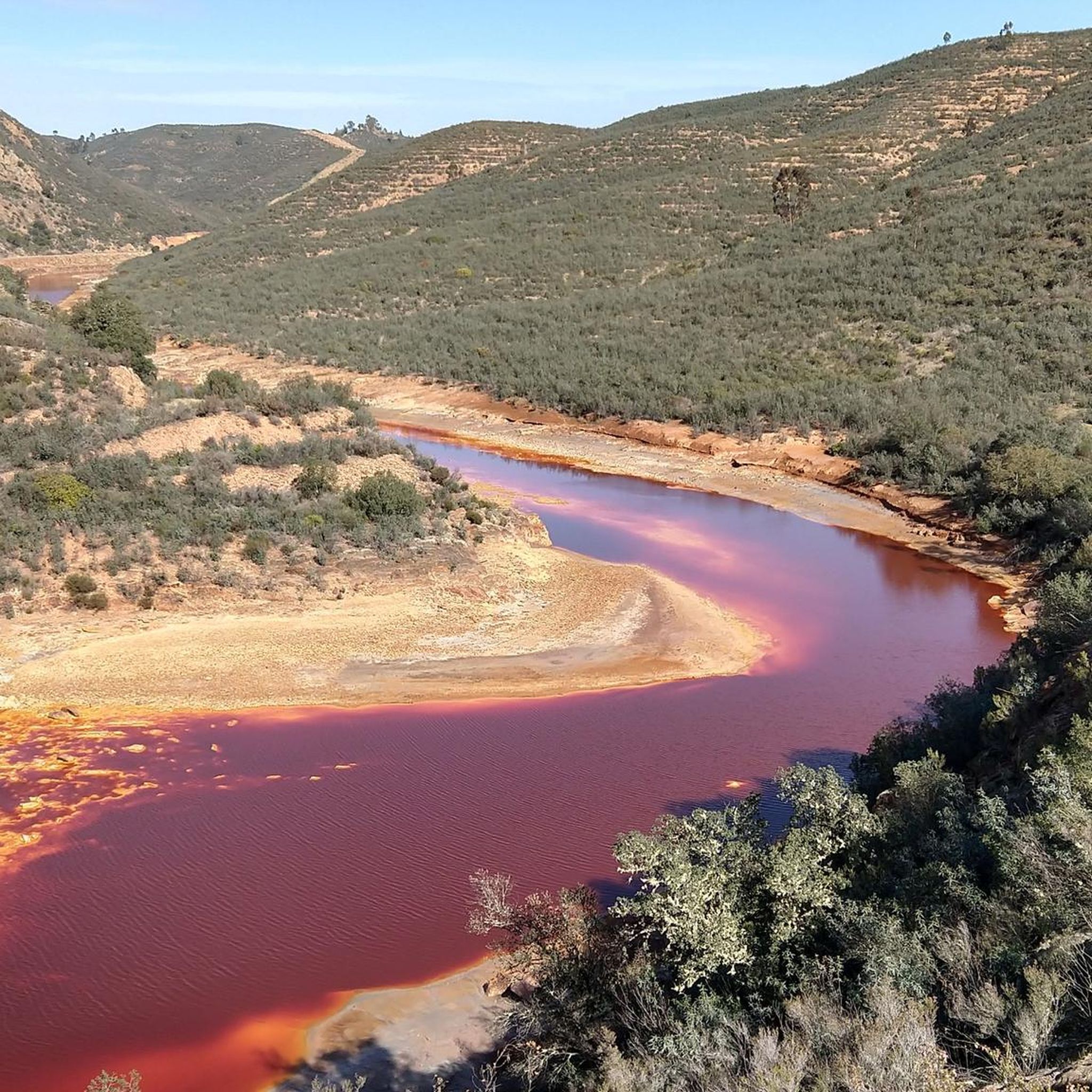
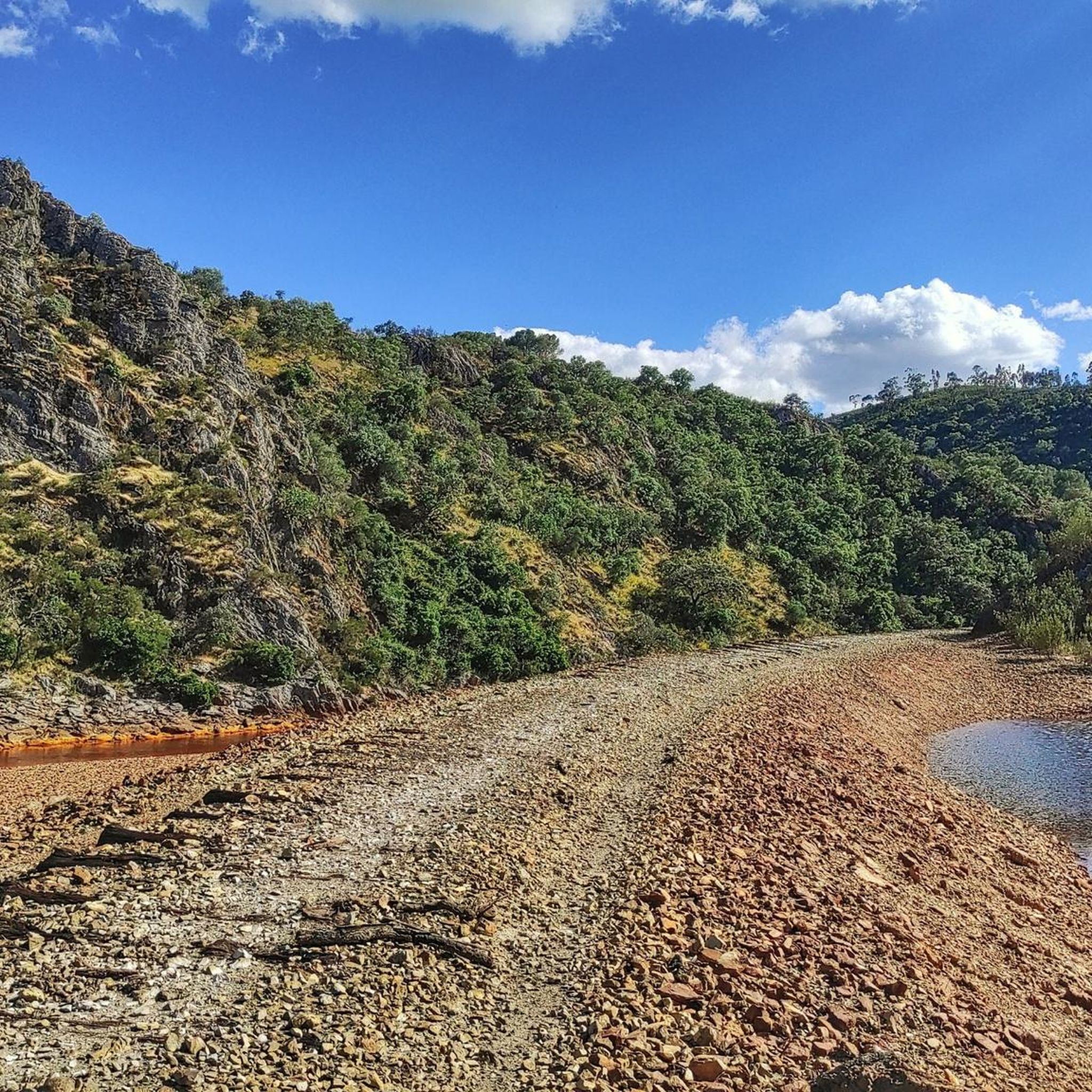
Jogging routes around Cuenca Minera traverse a landscape shaped by its mining history, featuring distinctive reddish hues and "Martian" terrain. The region is characterized by the iconic Río Tinto, whose waters are colored by mineral deposits, and a network of trails that wind through former mining areas. These paths often present a contrast between barren, mineral-rich ground and pockets of diverse vegetation along riverbanks. Elevation changes vary, with some routes offering gentle gradients and others presenting more challenging climbs over…
Last updated: October 10, 2026
2
runners
15.4km
01:52
260m
260m
Hard run. Very good fitness required. Mostly paved surfaces. Suitable for all skill levels.
10.6km
01:22
220m
220m
Moderate run. Good fitness required. Mostly paved surfaces. Suitable for all skill levels.

15.3km
02:00
420m
420m
Jog a difficult 9.5-mile (15.3 km) circular route from Berrocal, exploring the unique red landscapes of the Rio Tinto.
15.4km
02:02
430m
430m
This difficult 9.5-mile (15.4 km) trail run near Berrocal offers challenging terrain, river views, and panoramic vistas from Río Tinto Viewp
5.0
(1)
47
runners
16.7km
02:25
750m
750m
Hard run. Very good fitness required. Mostly paved surfaces. Suitable for all skill levels.
25
runners
21.5km
02:44
410m
410m
Hard run. Very good fitness required. Mostly paved surfaces. Suitable for all skill levels.
25
runners
20.2km
02:45
600m
600m
Hard run. Very good fitness required. Mostly paved surfaces. Suitable for all skill levels.
21
runners
19.9km
02:33
460m
460m
Hard run. Very good fitness required. Mostly paved surfaces. Suitable for all skill levels.
5
runners
10.4km
01:16
140m
140m
Moderate run. Good fitness required. Mostly paved surfaces. Suitable for all skill levels.
4
runners
6.09km
00:43
70m
70m
Moderate run. Good fitness required. Mostly paved surfaces. Suitable for all skill levels.
Get access to more routes and recommendations from other explorers.
Already have an account?
Our route recommendations are based on thousands of hikes, rides, and runs completed by other people on komoot.
Start today with a free account
Your next adventure awaits.
Popular around Cuenca Minera
Running Trails around Zalamea La Real
Running Trails around Minas De Riotinto
Running Trails around Nerva
Running Trails around El Campillo
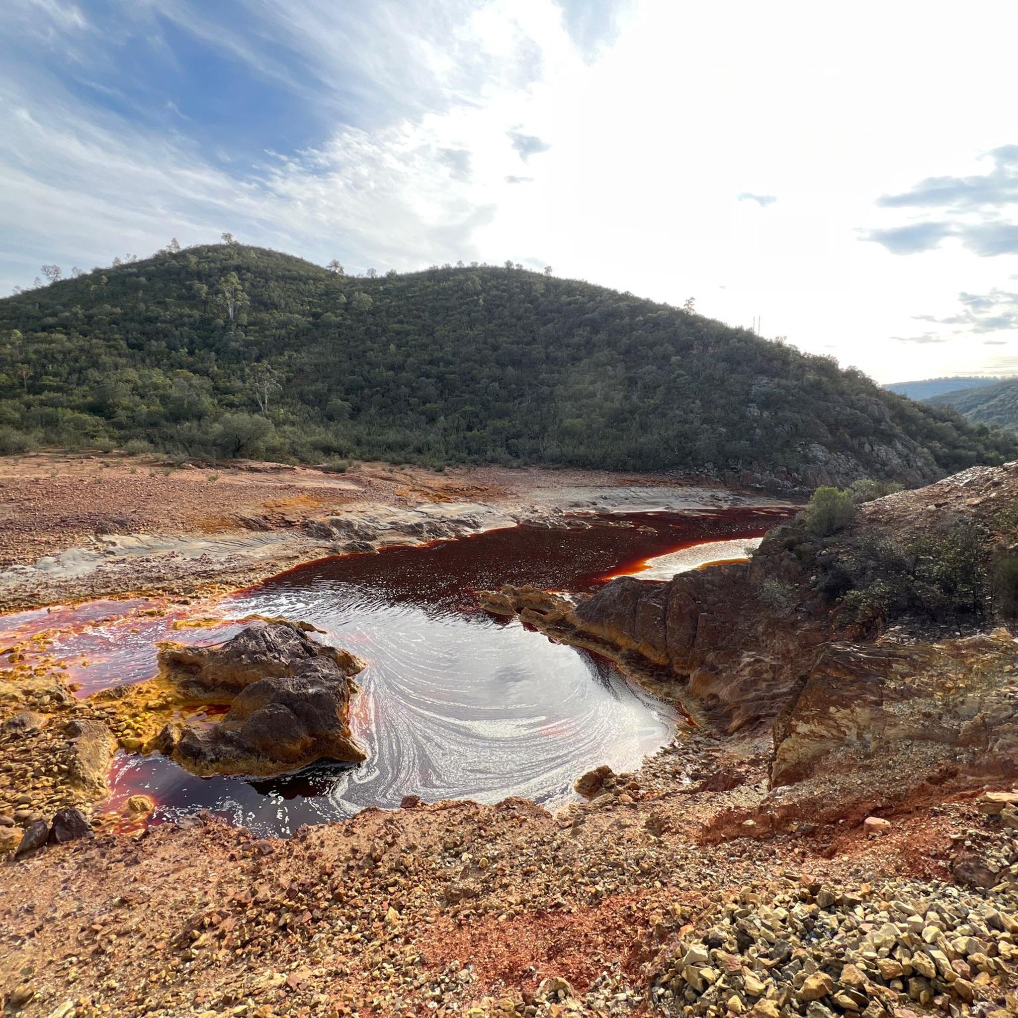
Running Trails around Berrocal
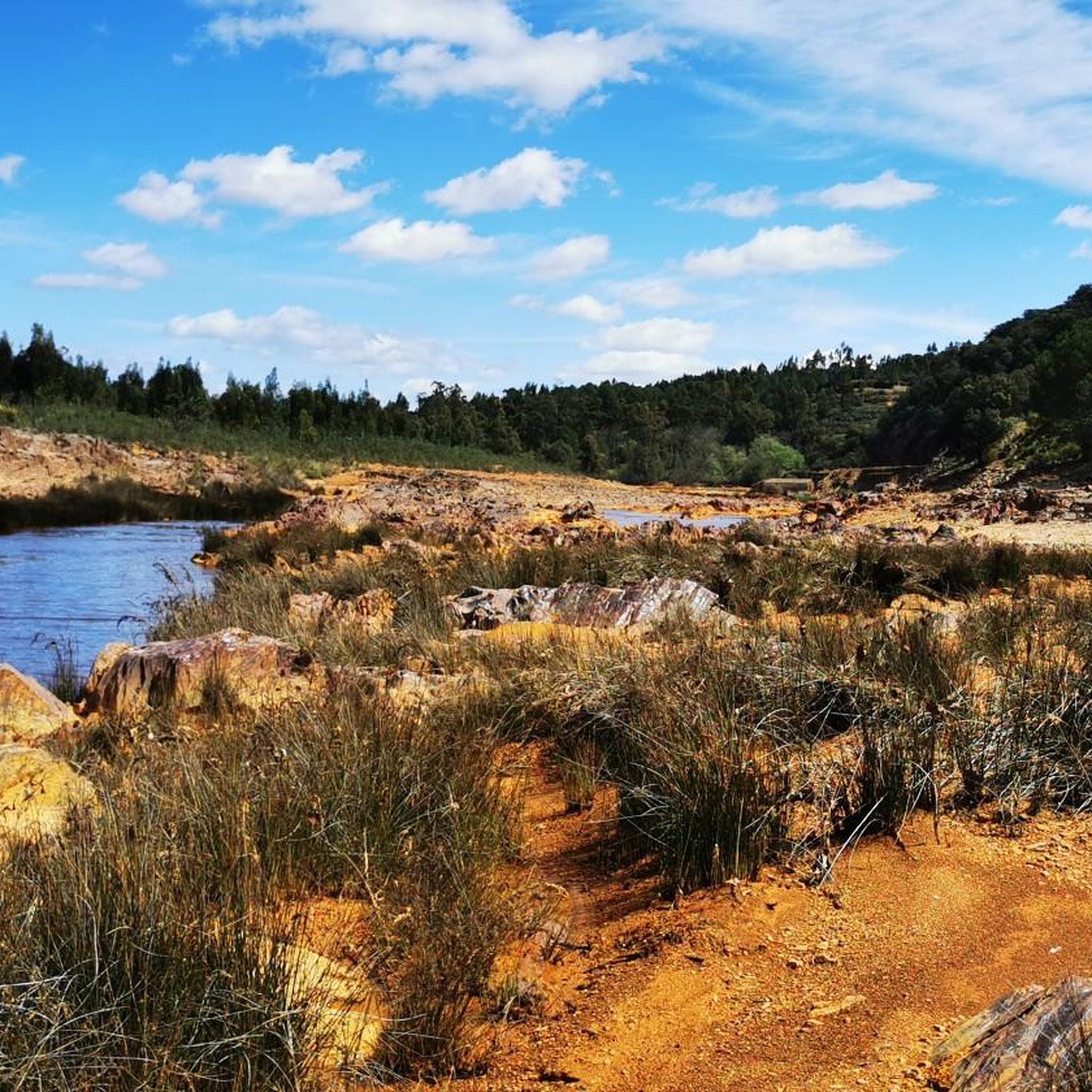
Running Trails in Corredor Ecológico Del Río Tinto
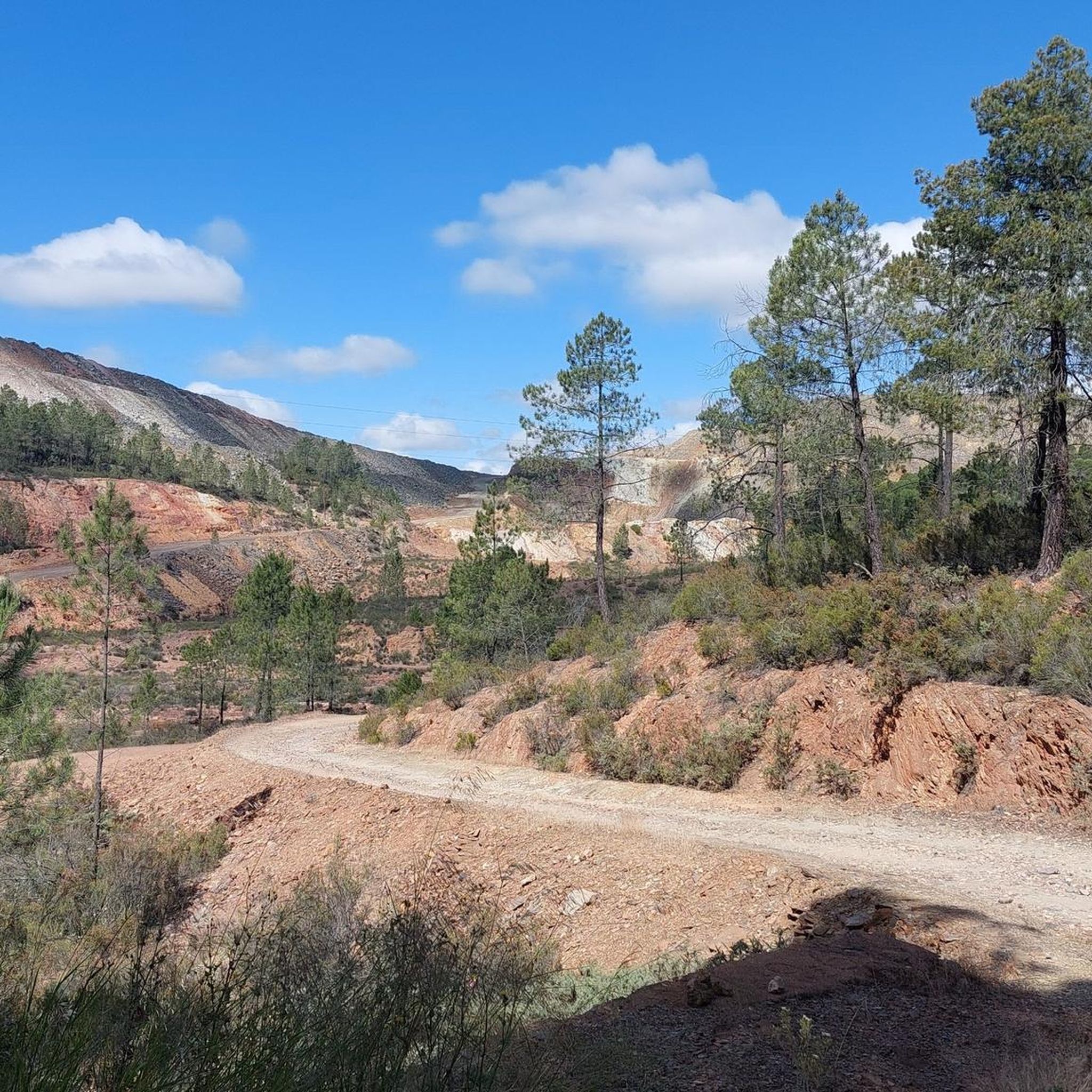
Running Trails around La Granada De Río-Tinto
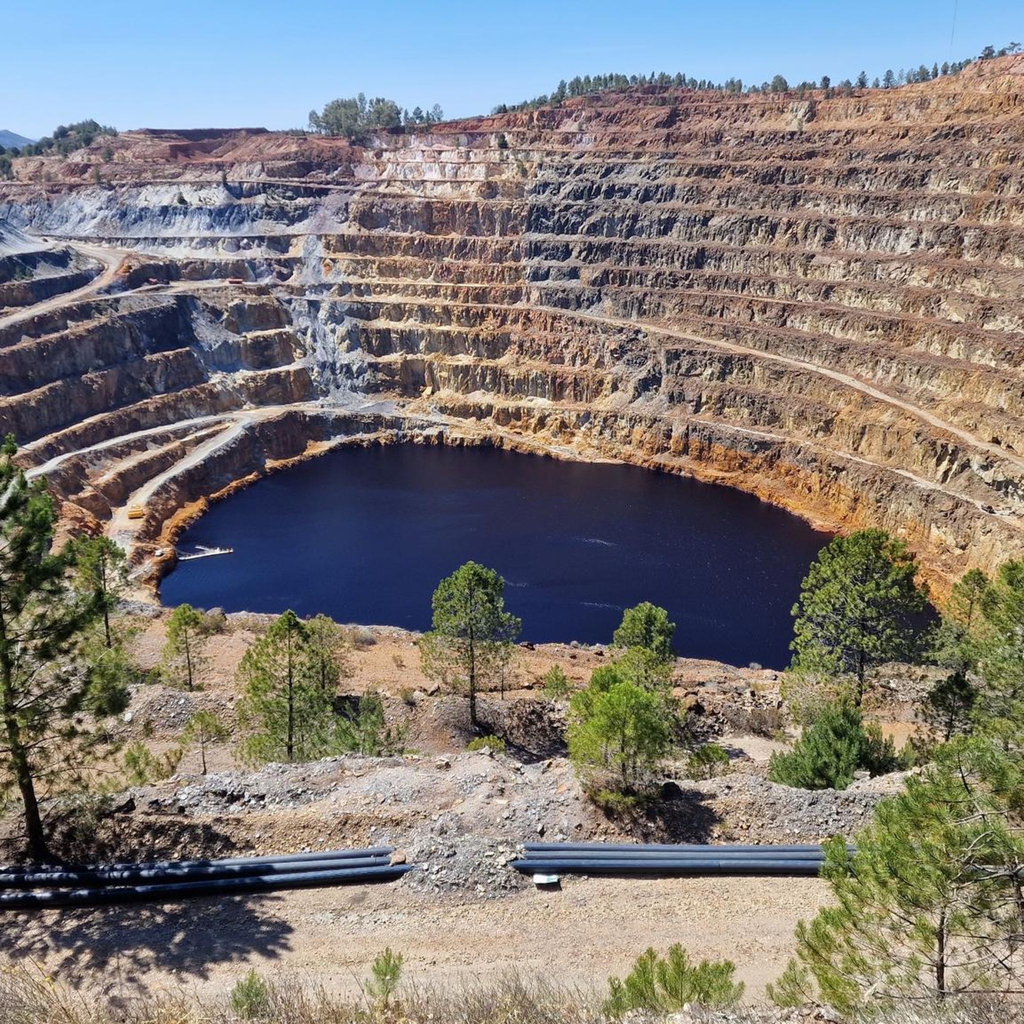
Running Trails around Calañas

Running Trails around Campofrío
Running Trails around Valverde Del Camino


Tips from the Community

The Camino Greenway in Calañas (Huelva) is part of a group of former mining railway lines converted into hiking, cycling, and nature tourism trails. Although not one of the most widely promoted, it offers a very interesting tour of the region's mining past.
1
0
The Peña del Hierro Viewpoint, located in Nerva (Huelva), is part of the Riotinto Mining Park and offers one of the most impressive views of the source of the Tinto River, as well as the mining crater of the old pyrite mine.
1
0
The source of the Tinto River is located in the municipality of Nerva, in the province of Huelva, Andalusia, and is one of the most unique landscapes in Europe due to its reddish color and its scientific and geological value.
1
0
The Roman bridge over the Odiel River in Calañas is a historic structure that is part of the region's rich heritage. This bridge is a point of interest on several hiking trails that run through the area, allowing visitors to enjoy the natural beauty and cultural heritage of the area.
8
0

Museum and the Corte Atalaya are well worth seeing. We also recommend a short tour of the place.
0
0
A circular route of approx. 3 kilometers leads around the Montera de Gossan natural monument. Don't miss it because of the beautiful views.
0
0

It was a mining exploitation located in the town of La Zarza-Perrunal active from the mid-19th century to the end of the 20th century. Currently, it is partially flooded, forming a lake known as La Corta. It is worth going up to the viewpoint to observe the exploitation from its highest point.
0
0
Spanish town in the municipality of La Zarza-Perrunal. This town is closely related to mining since the Romans began to work these mountains.
2
0
Frequently Asked Questions
What kind of terrain can I expect on running routes in Cuenca Minera?
The running routes in Cuenca Minera offer a truly unique experience, characterized by "Martian" landscapes with vibrant reddish hues. You'll encounter terrain shaped by centuries of mining, including areas around the iconic Río Tinto with its distinct red waters. While some paths wind through barren, mineral-rich ground, others provide a contrast with lush vegetation along riverbanks, such as those found on the Odiel Mills River Trail. Expect a mix of surfaces, from compacted earth to more rugged sections.
Are there running routes suitable for beginners or those looking for an easier jog?
Yes, Cuenca Minera offers a variety of running routes for different fitness levels. While many routes are moderate to difficult, there are options for easier jogs. For example, the Running loop from Valverde del Camino is a moderate 6.1 km (3.8 miles) trail that can be completed in about 42 minutes, offering a gentler introduction to the region's surroundings.
Can I find circular running routes in the Cuenca Minera region?
Absolutely. Many of the running routes in Cuenca Minera are designed as circular paths, allowing you to start and finish in the same location. A notable example is the Peña del Hierro y nacimiento del Río Tinto - running circular desde Nerva, which offers a challenging 15.4 km (9.6 miles) loop through the distinctive red landscapes. Another option is the Río Odiel – running circular on the Vía Verde del Camino, a moderate 10.6 km (6.6 miles) loop.
What interesting natural features or landmarks can I see while running in Cuenca Minera?
The region is rich in unique natural features and historical landmarks. You can explore the extraordinary reddish-orange waters of the Source of the Río Tinto, or witness the dramatic scale of the Corta Atalaya Mine, an impressive opencast mine. The Peña del Hierro area also offers stunning views of the red landscape. Additionally, you might encounter reservoirs like the Gossán Reservoir, which presents a futuristic scenery with its reddish water.
Are there any running routes that are particularly scenic or offer unique views?
Many routes in Cuenca Minera offer breathtaking and unusual scenery. The trails around the Río Tinto are particularly scenic, providing views of the river's distinctive red waters and the surrounding "Martian" landscape. The Río Tinto Loop from Berrocal, for instance, is a challenging 15.3 km (9.5 miles) route that immerses you in this otherworldly environment. The area around Peña del Hierro also provides excellent viewpoints.
What is the average length and difficulty of running trails in Cuenca Minera?
The running trails in Cuenca Minera vary significantly in length and difficulty. You'll find routes ranging from shorter, moderate jogs like the 6.1 km (3.8 miles) Running loop from Valverde del Camino, to more challenging and longer trails such as the 33.7 km (20.9 miles) Cachán Bridge – Riscos Altos Viewpoint loop from Los Frailes. The region offers 2 easy, 15 moderate, and 10 difficult routes, ensuring options for various preferences and fitness levels.
What do other runners say about their experience jogging in Cuenca Minera?
The running routes in Cuenca Minera are highly rated by the komoot community, with an average score of 3.5 stars from over 2 reviews. More than 200 runners have used komoot to explore the varied terrain. Reviewers often praise the unique "Martian" landscapes, the distinct red waters of the Río Tinto, and the historical mining features that make for an unforgettable running experience.
Are there any running routes that are suitable for families with children?
While specific 'family-friendly' designations are not always explicit, routes with moderate difficulty and shorter distances are generally more suitable for families. The Running loop from Valverde del Camino, at 6.1 km (3.8 miles) and moderate difficulty, could be a good option for families looking for a less strenuous outing. Always consider the fitness level of all family members and the terrain before setting out.
Is it possible to bring dogs on the running trails in Cuenca Minera?
Generally, many outdoor trails in Spain are dog-friendly, especially in natural areas. However, it's always advisable to check local regulations or specific route guidelines for any restrictions, particularly concerning protected areas or private land. When running with your dog, ensure they are well-behaved, kept on a leash where required, and that you carry waste bags to maintain the cleanliness of the trails.
What is the best season to go running in Cuenca Minera?
Cuenca Minera can be enjoyed for running throughout much of the year, but spring and autumn generally offer the most pleasant conditions. During these seasons, temperatures are milder, making for more comfortable runs. Summers can be very hot, so if you plan to run then, it's best to go early in the morning or late in the evening to avoid the midday heat. Winters are typically mild, but occasional rain can make some trails muddy.
Are there options for parking near the running routes in Cuenca Minera?
While specific parking information for every route isn't detailed, many trailheads in popular outdoor regions like Cuenca Minera typically have designated parking areas or roadside parking available, especially near towns or significant attractions. For routes starting from towns like Nerva, Berrocal, or Valverde del Camino, you can usually find parking within the town or at the beginning of the trail. It's recommended to check maps or local information for specific starting points.
How many running routes are available in the Cuenca Minera region?
There are over 25 dedicated running routes available for exploration in the Cuenca Minera region. These routes offer a diverse range of distances and difficulty levels, ensuring there's something for every runner, from easy jogs to challenging long-distance trails.
Most popular routes around Cuenca Minera
Most popular attractions around Cuenca Minera

Get inspired with the komoot mobile app


Didn’t find what you were looking for?
Check out more Running Trails & Routes throughout Cuenca Minera below and find the perfect route in your destination.
Explore more
Browse the best Running Trails & Routes in other regions.
