The best MTB trails around Etang Baigne-Jean
4.8
(39)
138
riders
16
rides
Mountain biking around Etang Baigne-Jean is characterized by its network of trails winding through the Brenne Regional Natural Park. The landscape features numerous ponds and lakes, including Etang Baigne-Jean itself, alongside gentle river valleys such as the Claise. The terrain is generally flat to gently rolling, with low elevation gains, making it suitable for a range of abilities. This region offers a mix of woodland paths and open countryside routes, often skirting the edges of wetlands and agricultural areas.
Best…
Last updated: July 3, 2026
4.5
(2)
9
riders
Moderate mountain bike ride. Good fitness required. Suitable for all skill levels.
5.0
(1)
3
riders
Moderate mountain bike ride. Good fitness required. Advanced riding skills necessary.

Sign up for free
4.0
(1)
3
riders
44.0km
03:11
130m
130m
Moderate mountain bike ride. Good fitness required. Advanced riding skills necessary.
4
riders
19.3km
01:20
50m
50m
Easy mountain bike ride. Great for any fitness level. Suitable for all skill levels.
5.0
(1)
2
riders
Easy mountain bike ride. Great for any fitness level. Suitable for all skill levels.
Get access to more routes and recommendations from other explorers.
Sign up for free
Already have an account?
Our route recommendations are based on thousands of hikes, rides, and runs completed by other people on komoot.
Start today with a free account
Your next adventure awaits.
Login or Signup

Tips from the Community

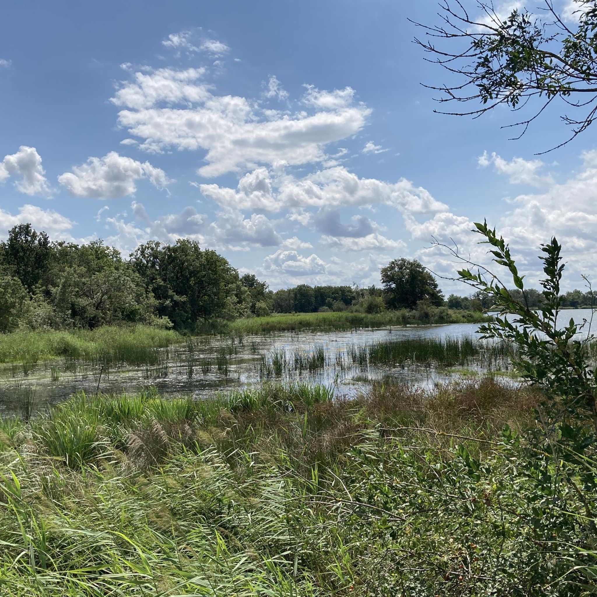
Large and beautiful lake in the Brenne nature park. Beautiful surroundings and lovely hiking trails with plenty of picnic tables for lunch, a lake for swimming or subboarding, a climbing park in the woods, and a restaurant. A wonderful spot!
1
0

Beautiful path in the undergrowth
0
0

Do not take the walk after a wet period. A large part of the paths is heavily flooded.
1
0

Known for its beach and swimming area, Bellebouche Pond is one of the largest and most beautiful bodies of water in Brenne. The pond is part of a larger site covering a total of 300 hectares of meadows, moors, wasteland, and woods. Three observatories located at the end of the pond and guided excursions allow visitors to discover its natural treasures. The observatory located to the east is recommended for the morning, and the observatories located to the west are recommended for the afternoon. Guided activities are offered seasonally (calendar available upon request). For information: +33 2 54 38 28 28
0
0

One of the most beautiful villages in Brenne
0
0

The community is located in the Brenne Regional Nature Park and is therefore a great starting point for cycling tours in the beautiful lake landscape.
0
0

This park is known for its 3,000 ponds, 267 species of birds, 100,000 pond turtles, 1,600 plant species including wild orchids and thousands of insects and animals. The Brenne Regional Natural Park attracts thousands of visitors each year in search of a calm, natural and authentic setting.
0
0
11-06-2023 The lake is completely dry due to work!
0
0
Frequently Asked Questions
What is the general difficulty level of mountain bike trails around Etang Baigne-Jean?
The mountain bike trails around Etang Baigne-Jean are generally easy to moderate. The region's terrain is mostly flat to gently rolling with low elevation gains, making it accessible for a wide range of riders. There are 5 easy routes and 10 moderate routes available, with no difficult trails identified.
Are there family-friendly mountain bike routes suitable for beginners?
Yes, the area offers several family-friendly and beginner-suitable mountain bike routes due to its generally flat terrain. An excellent option is the Mountainbike loop from Le Simoy, which is rated as easy and covers 19.2 km with minimal elevation gain.
What kind of scenery can I expect on the mountain bike trails in this region?
You can expect diverse scenery characterized by the Brenne Regional Natural Park. Trails often wind through woodlands, open countryside, and skirt the edges of numerous ponds, lakes, and wetlands, including Etang Baigne-Jean itself. You'll also find routes along gentle river valleys like the Claise.
Are there any circular mountain bike routes available?
Yes, many routes around Etang Baigne-Jean are circular, allowing you to start and end at the same point. For example, the Mézières-en-Brenne – Church of Mézières-en-Brenne loop from Réserve naturelle de Chérine is a popular moderate circular trail covering 44.5 km.
When is the best time of year to go mountain biking around Etang Baigne-Jean?
The best time to go mountain biking around Etang Baigne-Jean is typically from spring through autumn. During these seasons, the weather is generally mild, and the natural landscape of the Brenne Regional Natural Park is at its most vibrant. Summers can be warm, while spring and autumn offer pleasant temperatures for longer rides.
What are the conditions like for mountain biking in winter?
Winter conditions around Etang Baigne-Jean can vary. While the terrain is generally flat, some trails may become muddy or wet, especially after rain or during periods of thaw. It's advisable to check local weather forecasts and trail conditions before heading out, and be prepared for cooler temperatures.
Are there mountain bike routes that offer scenic viewpoints or particularly picturesque sections?
Many routes offer picturesque sections, particularly those that traverse the numerous ponds and lakes or follow riverbanks. The Vigneaux Pond – Bellebouche Pond loop from Stationnement des Étangs de Foucault is a moderate route that takes you past several beautiful water features, offering scenic views of the wetland landscape.
Where can I find parking for mountain biking trails?
Specific parking information varies by trail start point. Many routes, especially those starting from towns or natural reserves, will have designated parking areas. For instance, the Vigneaux Pond – Bellebouche Pond loop starts from Stationnement des Étangs de Foucault, indicating a parking facility there. It's always recommended to check the individual route details on komoot for precise parking locations.
Are there any mountain bike trails with cafes or refreshment stops nearby?
While specific cafes directly on trails are not always common in natural park settings, routes that pass through or near towns like Mézières-en-Brenne will offer opportunities for refreshments. The Church of Mézières-en-Brenne – Mézières-en-Brenne loop, for example, starts and ends in Mézières-en-Brenne, providing access to local amenities.
What do other mountain bikers enjoy most about the trails in Etang Baigne-Jean?
The area is highly rated by the komoot community, with an average score of 4.7 stars from over 30 reviews. Reviewers often praise the peaceful atmosphere, the varied scenery of ponds and woodlands, and the accessibility of the trails for different skill levels. Many appreciate the well-maintained paths and the opportunity to explore the unique Brenne Regional Natural Park.
How many mountain bike trails are there in the Etang Baigne-Jean area?
There are 15 mountain bike trails available for exploration around Etang Baigne-Jean, offering a good variety of options for different preferences and skill levels.
Is there a good option for a longer mountain bike ride?
For a longer ride, consider the Mézières-en-Brenne – Church of Mézières-en-Brenne loop from Réserve naturelle de Chérine. This moderate trail spans 44.5 km and typically takes around 3 hours 50 minutes to complete, offering an extensive tour of the natural reserve.
Are there any trails that follow riverbanks?
Yes, you can find routes that follow riverine landscapes. The Mézières-en-Brenne – Path on the banks of the Claise🤗 river loop from Le Simoy is an easy 20.4 km trail that leads you along the banks of the Claise river, offering a different perspective of the region's waterways.
Most popular routes around Etang Baigne-Jean

Get inspired with the komoot mobile app


Explore more
Browse the best MTB trails in other regions.
