The best walks and hikes around Etang Baigne-Jean
4.0
(147)
809
hikers
39
hikes
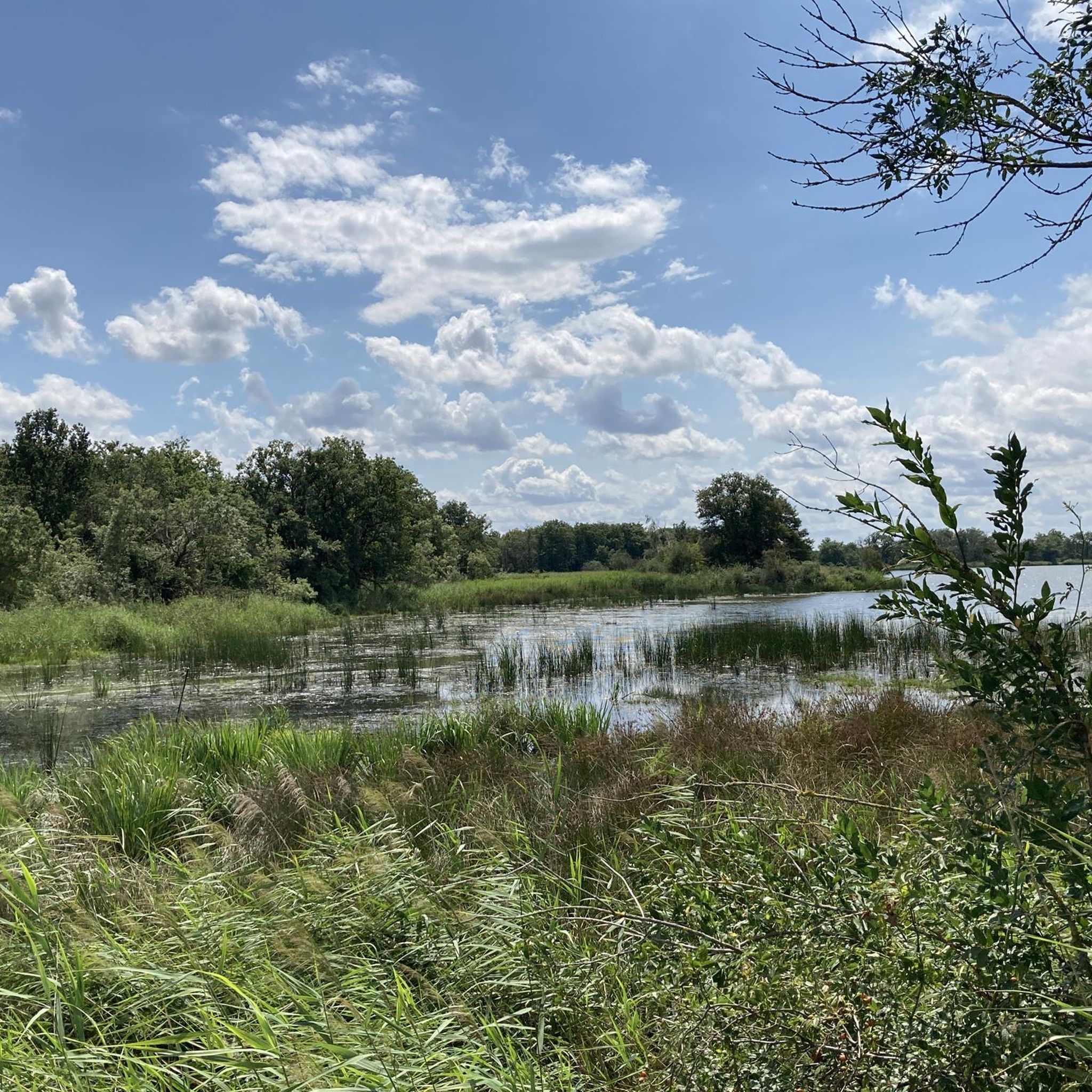
Hiking around Etang Baigne-Jean, located within the Brenne Regional Natural Park in France, offers a landscape characterized by numerous lakes (étangs), dense woodlands, and meandering riverbanks. The terrain is generally flat to gently undulating, making it accessible for various hiking abilities. This region is known for its wetlands and diverse ecosystems, providing a tranquil setting for outdoor activities.
Best hiking trails around Etang Baigne-Jean
- The most popular hiking route is Étang des Maléteries – Bois de Nouzières loop from Réserve…
Last updated: July 5, 2026
4.6
(7)
36
hikers
Moderate hike. Good fitness required. Easily-accessible paths. Suitable for all skill levels.
4.0
(2)
4
hikers
5.99km
01:31
10m
10m
Easy hike. Great for any fitness level. Easily-accessible paths. Suitable for all skill levels.

Sign up for free
4.4
(5)
33
hikers
23.1km
05:53
70m
70m
Hard hike. Very good fitness required. Easily-accessible paths. Suitable for all skill levels.
4.0
(1)
4
hikers
6.57km
01:40
10m
10m
Easy hike. Great for any fitness level. Easily-accessible paths. Suitable for all skill levels.
3
hikers
Moderate hike. Good fitness required. Easily-accessible paths. Suitable for all skill levels.
Get access to more routes and recommendations from other explorers.
Sign up for free
Already have an account?
Our route recommendations are based on thousands of hikes, rides, and runs completed by other people on komoot.
Start today with a free account
Your next adventure awaits.
Login or Signup

Tips from the Community

One of the most beautiful villages in Brenne
0
0

The community is located in the Brenne Regional Nature Park and is therefore a great starting point for cycling tours in the beautiful lake landscape.
0
0

This park is known for its 3,000 ponds, 267 species of birds, 100,000 pond turtles, 1,600 plant species including wild orchids and thousands of insects and animals. The Brenne Regional Natural Park attracts thousands of visitors each year in search of a calm, natural and authentic setting.
0
0
One of the most beautiful villages in Brenne
0
0
One of more than 2,000 lakes and ponds here in the Brenne Regional Nature Park.
0
0
The community is located in the Brenne Regional Nature Park and is therefore a great starting point for bike tours in the beautiful lake landscape.
0
0
Frequently Asked Questions
What is the general difficulty level of hiking trails around Etang Baigne-Jean?
The hiking trails around Etang Baigne-Jean cater to a range of abilities. Out of 42 available routes, 19 are classified as easy, 20 as moderate, and 3 as difficult. This means you can find options for casual strolls or more challenging treks through the region's diverse landscapes.
Are there family-friendly hiking options around Etang Baigne-Jean?
Yes, Etang Baigne-Jean offers several family-friendly hiking options. The terrain is generally flat to gently undulating, making it accessible for various ages. An easy route like the Étang de Monmélier loop from Réserve naturelle de Chérine, which is 6.0 km long, provides a pleasant experience for families.
Can I bring my dog on the hiking trails in Etang Baigne-Jean?
The Brenne Regional Natural Park, where Etang Baigne-Jean is located, generally welcomes dogs on trails, provided they are kept on a leash to protect local wildlife and ensure the safety of other hikers. Always check specific trail regulations or local signage for any restrictions, especially in nature reserves.
What kind of natural features and landscapes can I expect to see while hiking?
Hiking around Etang Baigne-Jean immerses you in a landscape characterized by numerous lakes (étangs), dense woodlands, and meandering riverbanks. The region is part of the Brenne Regional Natural Park, known for its wetlands and diverse ecosystems, offering tranquil settings and opportunities to observe local flora and fauna.
Are there circular hiking routes available around Etang Baigne-Jean?
Yes, many of the trails around Etang Baigne-Jean are designed as circular routes, allowing you to start and end at the same point. For example, the popular Étang des Maléteries – Bois de Nouzières loop from Réserve naturelle de Chérine is a 17.7 km circular trail winding through woodlands and past several lakes.
What is the best time of year to go hiking around Etang Baigne-Jean?
The best time to visit Etang Baigne-Jean for hiking is typically during spring (April to June) and autumn (September to October). During these seasons, the weather is generally mild and pleasant, and the natural scenery is particularly vibrant, with blooming flowers in spring and colorful foliage in autumn. Summer can also be enjoyable, but be prepared for warmer temperatures.
Is parking available near the hiking trails at Etang Baigne-Jean?
Yes, parking is generally available at common starting points for hiking trails around Etang Baigne-Jean, especially near popular étangs and villages within the Brenne Regional Natural Park. Specific parking details can often be found on individual route descriptions or local signage.
How can I reach Etang Baigne-Jean by public transport?
Reaching Etang Baigne-Jean and the surrounding Brenne Regional Natural Park primarily relies on regional public transport. While direct train services might not reach every trailhead, regional buses often connect larger towns like Le Blanc or Mézières-en-Brenne to smaller villages. It's advisable to check local bus schedules in advance, as services can be less frequent in rural areas.
Are there any notable landmarks or viewpoints along the trails?
While specific highlights are not detailed in the guide data, the region's character is defined by its numerous étangs (lakes), which serve as natural landmarks and offer picturesque viewpoints. The trails often provide scenic vistas over these tranquil waters and through the dense woodlands of the Brenne Regional Natural Park.
What do other hikers enjoy the most about hiking in Etang Baigne-Jean?
The area is highly rated by the komoot community, with an average score of 4.0 stars from over 135 reviews. Hikers often praise the tranquil setting, the extensive network of lakes and woodlands, and the variety of routes suitable for different ability levels, making it a peaceful escape into nature.
How many hiking trails are there in Etang Baigne-Jean?
There are over 40 hiking trails available around Etang Baigne-Jean, offering a wide selection for explorers. The komoot community has recorded 42 distinct routes in the area, ranging from easy strolls to more challenging hikes.
Are there any longer, more challenging hikes in the area?
For those seeking a more challenging experience, Etang Baigne-Jean does offer longer routes. An example is The banks of the Claise loop from Mézières-en-Brenne, a 23.0 km trail that leads through riverine landscapes and rural areas, typically taking nearly 6 hours to complete.
Most popular routes around Etang Baigne-Jean

Get inspired with the komoot mobile app


Explore more
Browse the best Hikes in other regions.
