The best walks and hikes around Lac De La Palisse
4.2
(118)
863
hikers
50
hikes
Hiking trails around Lac De La Palisse traverse diverse landscapes, featuring forests, volcanic scenery, and numerous small lakes. The region is characterized by its unspoiled natural environment, including ancient volcanoes and impressive basaltic cliffs visible near the La Palisse dam. Hikers can explore a variety of marked trails, from easy strolls to more challenging ascents.
Best hiking trails around Lac De La Palisse
- The most popular hiking route is Lake view loop from Cros-de-Géorand, a 6.8 miles (11.0 km)…
Last updated: July 9, 2026
4.7
(3)
26
hikers
11.0km
03:21
390m
390m
Moderate hike. Good fitness required. Easily-accessible paths. Suitable for all skill levels.
4.3
(3)
18
hikers
15.7km
04:38
440m
440m
Moderate hike. Good fitness required. Mostly accessible paths. Sure-footedness required.

Sign up for free
2.3
(3)
6
hikers
11.7km
03:22
280m
280m
Moderate hike. Good fitness required. Easily-accessible paths. Suitable for all skill levels.
5.0
(1)
3
hikers
9.10km
02:39
240m
240m
Moderate hike. Good fitness required. Easily-accessible paths. Suitable for all skill levels.
4.0
(2)
4
hikers
Moderate hike. Great for any fitness level. Mostly accessible paths. Sure-footedness required.
Get access to more routes and recommendations from other explorers.
Sign up for free
Already have an account?
Our route recommendations are based on thousands of hikes, rides, and runs completed by other people on komoot.
Start today with a free account
Your next adventure awaits.
Login or Signup
Tips from the Community

Etymology: comes from Mas d’Adam, the name of the old estate that was located on the site of the current village, which was ceded by the lord of Géorant to the bishop of Viviers to allow him to found the abbey of Mazan. It all begins with the foundation of the Cistercian abbey in the heart of the village. This takes place between 1119 and 1122. At the beginning of the 12th century, canons came to settle on the site of Mas d’Adam (a toponym that would evolve into MAZAN), and were joined by monks from the abbey of Bonnevaux. These religious men built a huge abbey, of which only the remains exist today, which experienced a period of apogee that lasted until the Hundred Years' War. It gave birth to four other abbeys which are Bonneval, Sénanque, Sylvanès and le Thoronet as well as establishments for nuns. After this prosperous period, misfortunes followed one another at the abbey of Mazan: it was plundered by the great companies of the Hundred Years' War, then attacked by the Huguenots in the modern period. Before this last looting, the monks, according to legend, would have melted a golden bell with all their treasures, which they would have buried somewhere, facing and opposite the bull's-eye window, within earshot of the rooster's crow. montagnedardeche.com/patrimoine-culturel/village-de-mazan-labbaye-2387
0
0
Etymology: comes from Mas d’Adam, name of the old domain which was located at the site of the current village which was ceded by the lord of Géorant to the bishop of Viviers to allow him to found the abbey of Mazan. It all begins with the foundation of the Cistercian abbey in the heart of the village. This takes place between 1119 and 1122. At the beginning of the 12th century, canons came to settle on the site of Mas d’Adam (toponym that would evolve towards MAZAN), and were joined by monks from the abbey of Bonnevaux. These religious men built an immense abbey, of which only the remains are left today, which experienced a period of apogee that lasted until the Hundred Years' War. It gave birth to four other abbeys which are Bonneval, Sénanque, Sylvanès and le Thoronet as well as establishments of nuns. After this prosperous period, misfortunes followed one another at the abbey of Mazan: it was plundered by the great companies of the Hundred Years' War, then attacked by the Huguenots in the modern period. Before this last pillage, the monks, according to legend, would have melted a golden bell with all their treasures, which they would have buried somewhere, opposite and in front of the bull's eye, within earshot of the cock's crow. https://www.montagnedardeche.com/patrimoine-culturel/village-de-mazan-labbaye-2387/
0
0

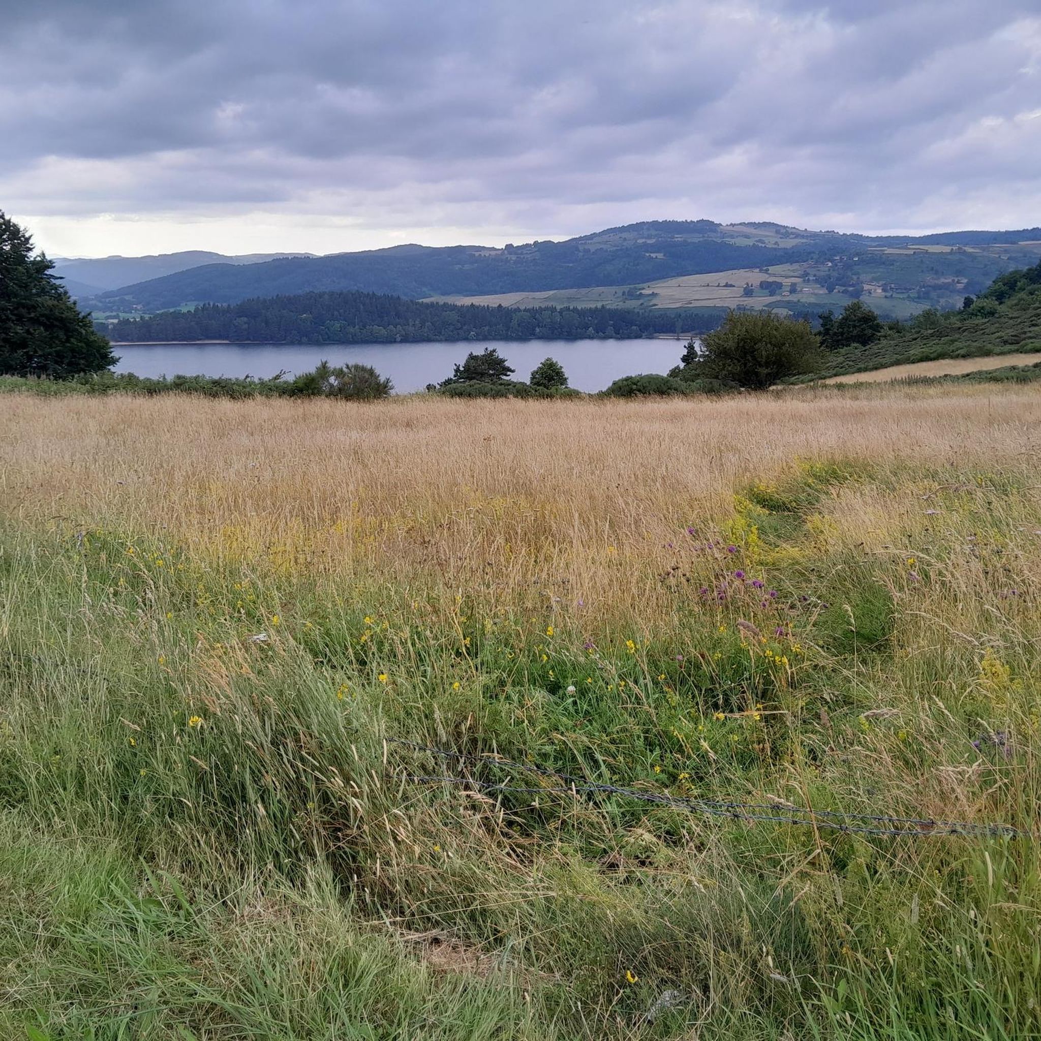
The loop trails are very nice! Small disappointment once at the top not to find a spot where you can enjoy a picnic with a view of the lake :)
0
0

At 1,343 meters above sea level, the Suc de Cherchemuse is an ancient volcano in the Velay region. From its summit, you benefit from a pleasant view of the great juices of the Mézenc massif.
0
0

Work "A circle and a thousand fragments" by Felice Varini. https://www.ardeche-guide.com/lieux-de-visites/sites-historical-monuments/oeuvre-un-cercle-et-mille-fragments-de-felice-varini-4827079
0
0

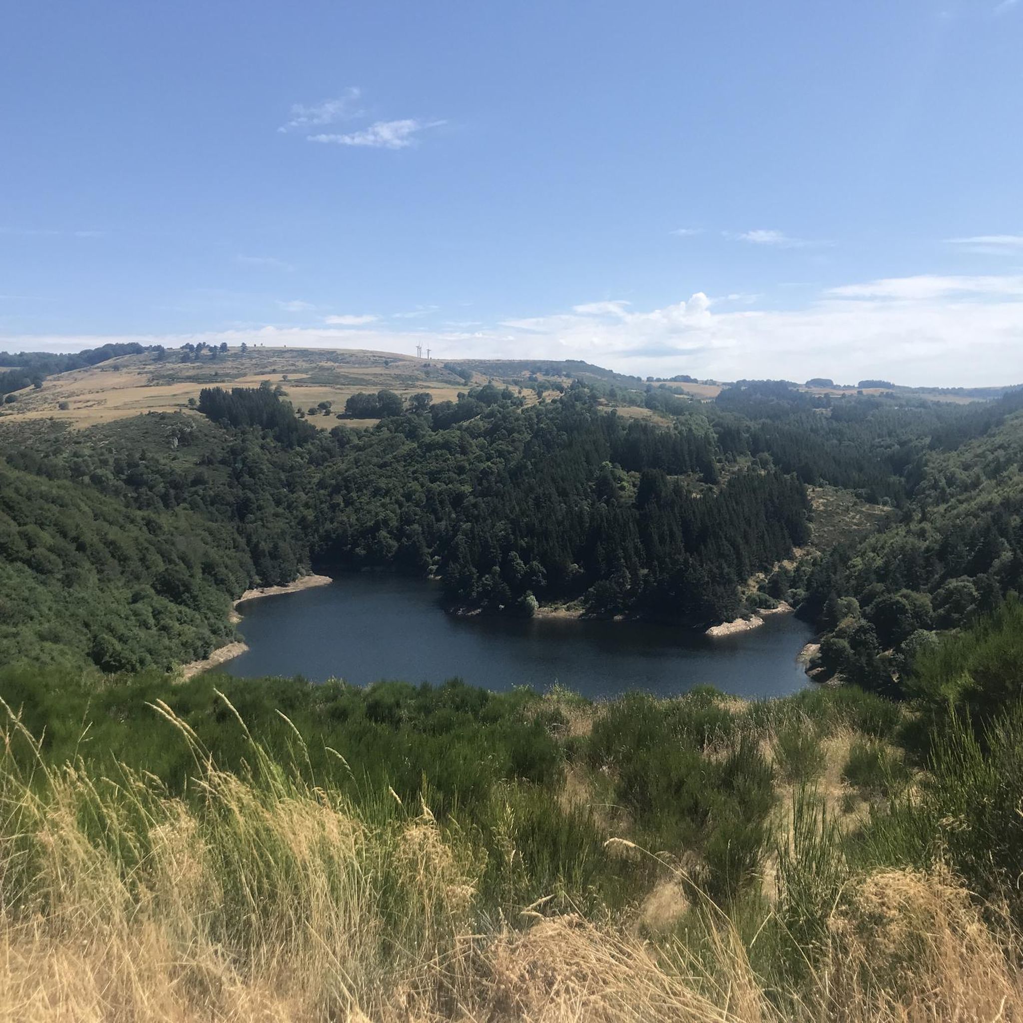
This view awaits you when you come out of the forest
1
0

Nice crossing point in the middle of the ruins. The Grande Porte farm is a good restaurant/refreshment point with a lovely view overlooking the abbey. There is also a water point within the abbey to fill the gourds.
0
1
Frequently Asked Questions
How many hiking trails are available around Lac De La Palisse?
There are over 35 hiking trails around Lac De La Palisse, catering to various skill levels. This includes 7 easy routes, 23 moderate trails, and 9 more challenging options for experienced hikers.
What kind of landscapes can I expect to see while hiking in the Lac De La Palisse region?
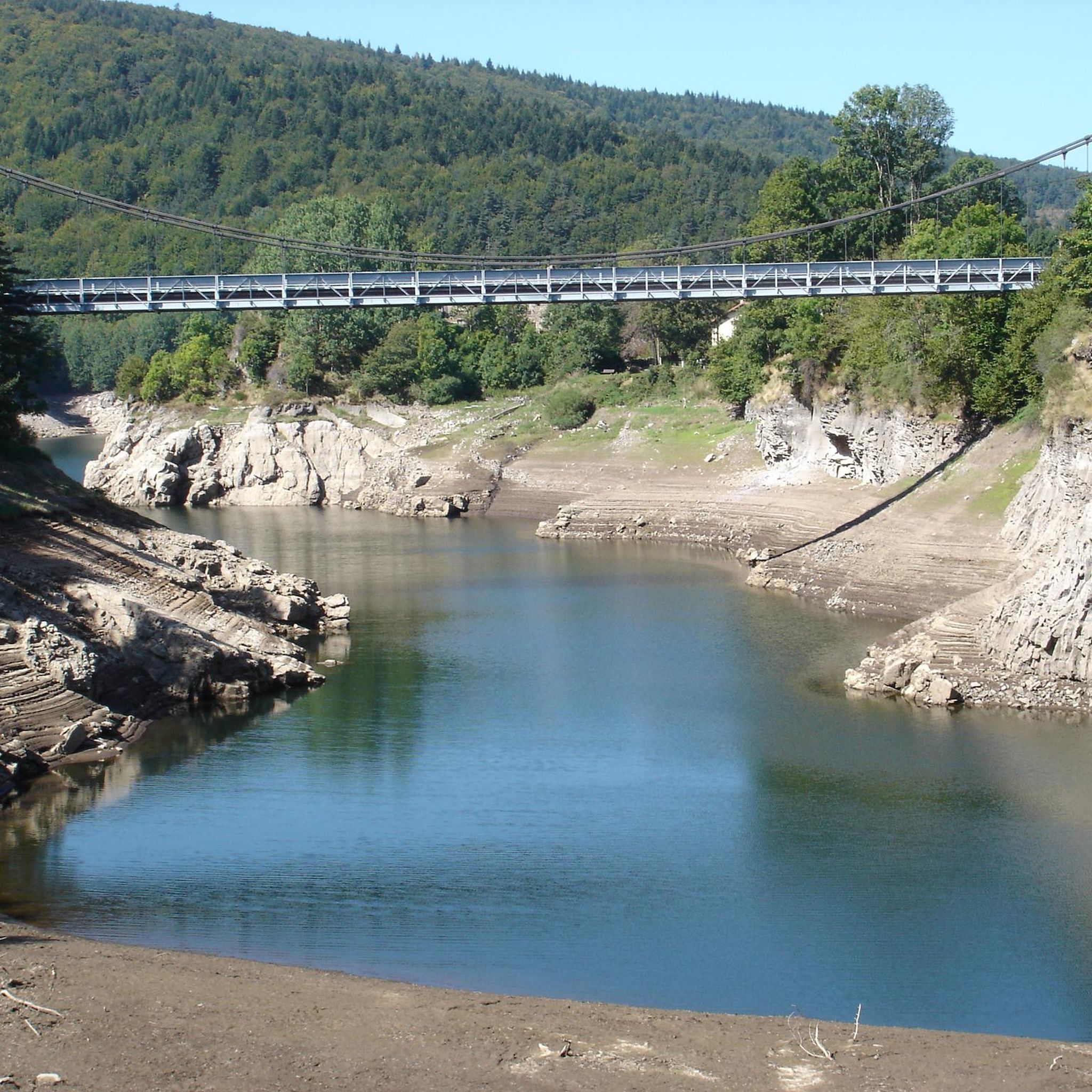
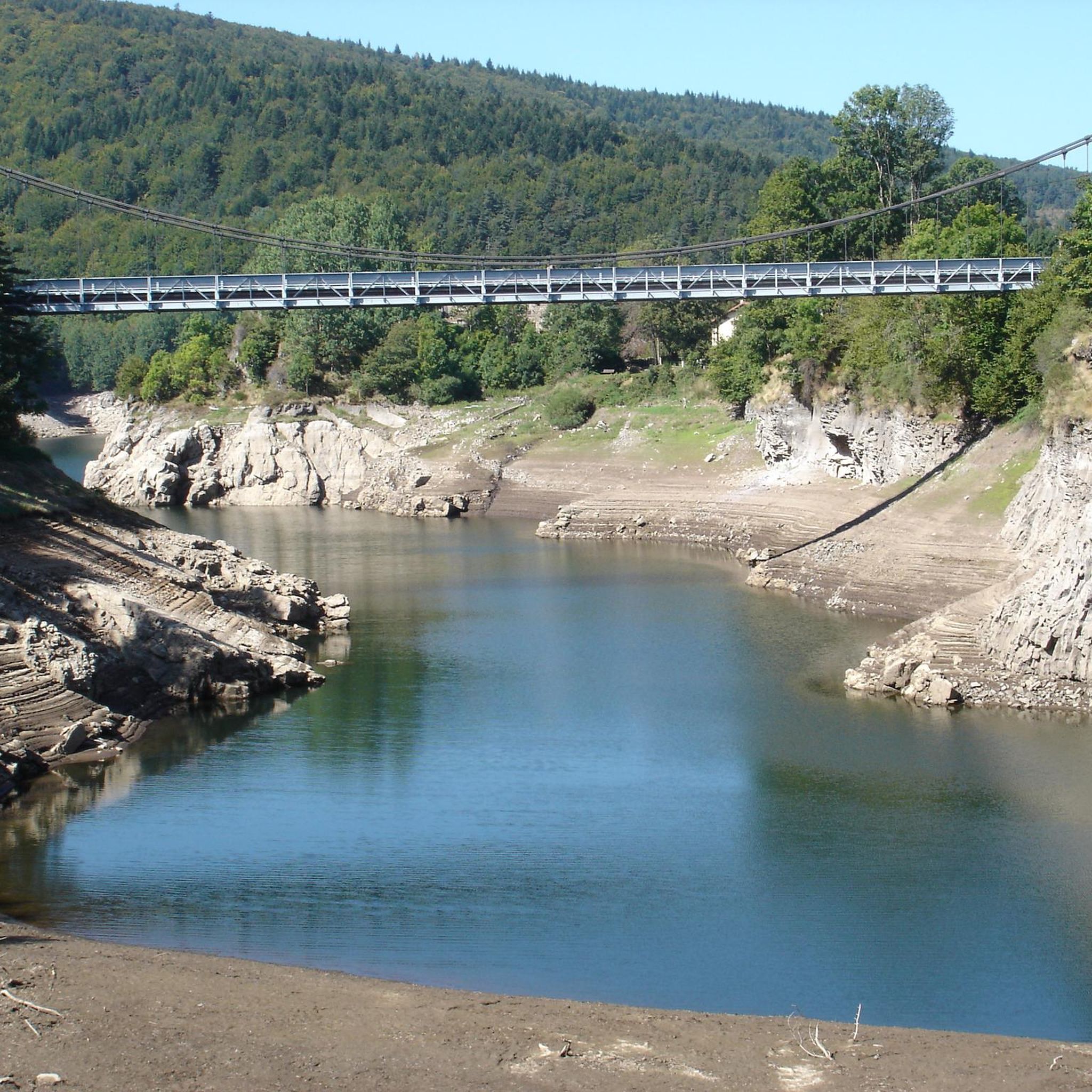
The region offers diverse landscapes, including dense forests, volcanic scenery, and numerous small lakes. You'll also encounter impressive basaltic cliffs near the La Palisse dam, which become visible when the lake is partially emptied, resembling 'mini canyons'.
Are there any easy, family-friendly hiking options around Lac De La Palisse?
Yes, there are several easy trails suitable for families. The Tour of Lac d’Issarlès is a popular easy route, generally accessible for all skill levels. The Lac de la Palisse leisure area also features a pedestrian path and a marked hiking trail, complete with picnic areas and playgrounds.
What are some notable natural features or landmarks to look out for on the trails?
Hikers can enjoy views of ancient volcanoes like the Suc de Cherchemuse, which stands at 1,343 meters. The La Palisse dam itself is a significant structure, and the exposed basaltic cliffs when the lake is low offer a unique geological sight. The broader region is also characterized by unspoiled woodlands and rivers.
Are there any circular hiking routes in the area?
Yes, many trails in the region are circular. For example, the Out of the forest and onto the lake – Suc de Cherchemuse loop from Le Lac-d'Issarlès is a moderate circular route that offers varied scenery. Another option is the Hiking loop from Saint-Cirgues-en-Montagne, which takes you through forested areas.
What do other hikers say about the trails around Lac De La Palisse?
The trails around Lac De La Palisse are highly rated by the komoot community, with an average score of 4.2 stars from over 100 reviews. Hikers often praise the diverse terrain, from quiet woodlands to volcanic landscapes, and the well-marked paths.
Is there parking available near the hiking trailheads?
While specific parking details vary by trailhead, the Lac de la Palisse leisure area, which serves as a starting point for some trails, offers practical amenities including parking. It's advisable to check individual route descriptions for precise parking information.
Can I bring my dog on the hiking trails around Lac De La Palisse?
Many natural areas in France, including hiking trails, are generally dog-friendly, especially if dogs are kept on a leash. However, it's always best to check local regulations or specific trail signage, particularly in nature reserves or protected areas, to ensure dogs are permitted.
What is the best time of year to go hiking in Lac De La Palisse?
The region is accessible year-round, but spring, summer, and early autumn generally offer the most pleasant weather for hiking. During these seasons, you can fully enjoy the diverse landscapes and outdoor amenities. Winter hiking is possible but may require appropriate gear for colder conditions.
Are there any facilities or amenities available along the trails or near the lake?
The Lac de la Palisse leisure area provides excellent amenities for hikers and visitors. These include picnic areas, playgrounds, and a fisherman's shelter with handicapped access. The leisure area is open year-round with free access, enhancing the overall outdoor experience. For more information, you can visit the Recreation Area of La Palisse Lake page.
How long do the hiking trails typically take to complete?
Hiking durations vary significantly depending on the trail's length and difficulty. Easy strolls can take just over an hour, while moderate routes like the Lake view loop from Cros-de-Géorand typically take around 3 hours 21 minutes. More challenging routes can extend to over five hours, requiring good fitness.
Most popular routes around Lac De La Palisse

Get inspired with the komoot mobile app


Explore more
Browse the best Hikes in other regions.
