The best walks and hikes around Étang De Naguilhes
4.7
(543)
4,861
hikers
86
hikes
Hiking around Étang De Naguilhes offers diverse trails within the Orlu National Reserve in Haute-Ariège. The region features mountainous settings, with routes traversing through forests and leading to expansive open spaces. Étang de Naguilhes, a large dam lake at approximately 1890 meters, is recognized as the largest lake in Ariège, characterized by its limpid blue waters contrasting with surrounding greenery and granitic peaks.
Best hiking trails around Étang De Naguilhes
- The most popular hiking route is Etang d’En Beys and…
Last updated: July 9, 2026
4.9
(19)
283
hikers
Hard hike. Very good fitness required. Easily-accessible paths. Suitable for all skill levels.
4.8
(20)
244
hikers
8.88km
02:40
290m
290m
Moderate hike. Good fitness required. Easily-accessible paths. Suitable for all skill levels.

Sign up for free
4.9
(8)
136
hikers
13.2km
03:54
390m
390m
Moderate hike. Good fitness required. Easily-accessible paths. Suitable for all skill levels.
4.8
(6)
72
hikers
10.4km
04:39
980m
980m
Hard hike. Very good fitness required. Easily-accessible paths. Suitable for all skill levels.
5.0
(1)
46
hikers
8.87km
02:39
270m
270m
Moderate hike. Good fitness required. Easily-accessible paths. Suitable for all skill levels.
Get access to more routes and recommendations from other explorers.
Sign up for free
Already have an account?
Our route recommendations are based on thousands of hikes, rides, and runs completed by other people on komoot.
Start today with a free account
Your next adventure awaits.
Login or Signup

Tips from the Community

The Etang de Naguilles is a dam lake which supplies the hydroelectric power station of Orlu. With an area of almost 100 hectares, it culminates at 1,855 meters. Now in industrial use, the pond has long animated local tales and legends. The Ariégeois say that the pond of Naguilles was born from the meeting of a blacksmith and the beast of the forest of Naguilles. The blacksmith allegedly gave the ferocious ferocious beast a white-hot iron bar. The beast, then thirsty, would have emptied all the water sources of the mountain before exploding at the current location of the pond.
0
1
The En Beys refuge which overlooks the eponymous ponds culminates at an altitude of 1,970 meters, in the heart of the Orlu national reserve. Situated on the great GR 7 which connects the Vosges to the Pyrenees, the refuge remains an excellent detour for the GRP® tour of the Ax Mountains or Tour des Pérics. In a warm and family setting, the refuge guardians offer 70 beds in high season as well as a complete catering offer. In winter, 15 places remain freely accessible, accessible through the window at the top of the ladder which fits on one of the walls of the building. The refuge is an ideal place to observe the burning of the granite walls of the Pics Rouges at sunset, or the galloping chamois in the snowfields in the early morning. If you wish to extend your stay for one night, do not hesitate to contact the refuge on 05 61 64 24 24 to find out about opening dates and bed availability.
2
1
The ponds of En Beys designate a set of three ponds located between 1,900 and 2,000 meters above sea level. Reading a map, you will guess that the lake furthest upstream is the largest of the three. It is also the one on which the En Beys refuge is based, an essential stopover for a night in an entirely mountain setting. The layout of the lake is perfect for admiring the colors of dawn or dusk. If you sleep at the refuge, take advantage of it for a moment of contemplation.
1
0

The En Beys pond is part of a group of three ponds: the En Beys pond, the Couillade pond and the herb pond. A guarded refuge is present on the banks at the Gourd Gaudet pond.
0
0
A national wildlife reserve, the Orlu Valley is an exceptional site for nature lovers.
0
0

Shelter suitable for groups and families. Warm welcome and cuisine of very good quality. The proposed picnic is hearty and it optimizes waste (90% recyclable). The shelter is open permanently from the last weekend of May to the last weekend of September. https://www.refuge-enbeys.com/
2
0
Beautiful pond located at the foot of the refuge of En Beys. Beautiful view at sunrise and sunset and perfect for fishing.
1
0
Frequently Asked Questions
How many hiking trails are available around Étang De Naguilhes?
There are over 90 hiking routes around Étang De Naguilhes, catering to various skill levels. This includes 16 easy, 42 moderate, and 32 difficult trails, ensuring options for everyone from casual walkers to experienced trekkers.
Are there any easy or family-friendly hiking options in the area?
Yes, Étang De Naguilhes offers 16 easy routes suitable for families or those seeking a more relaxed walk. While specific family-friendly routes are not detailed here, these easier trails generally feature less elevation gain and shorter distances, making them ideal for a leisurely outing.
What kind of landscapes can I expect to see while hiking around Étang De Naguilhes?
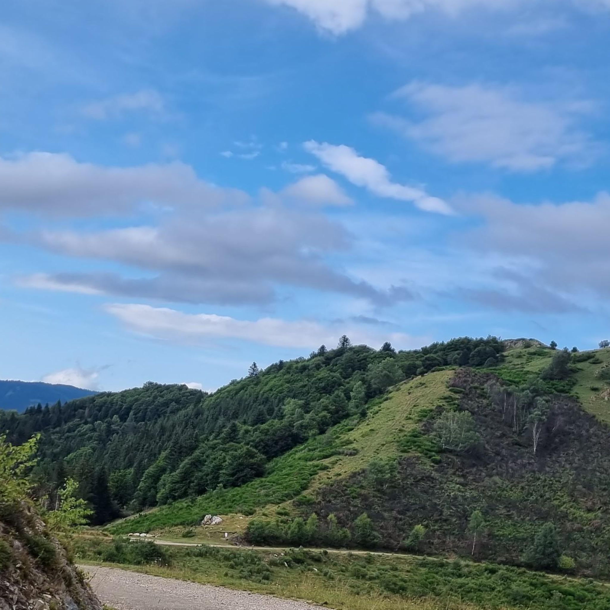
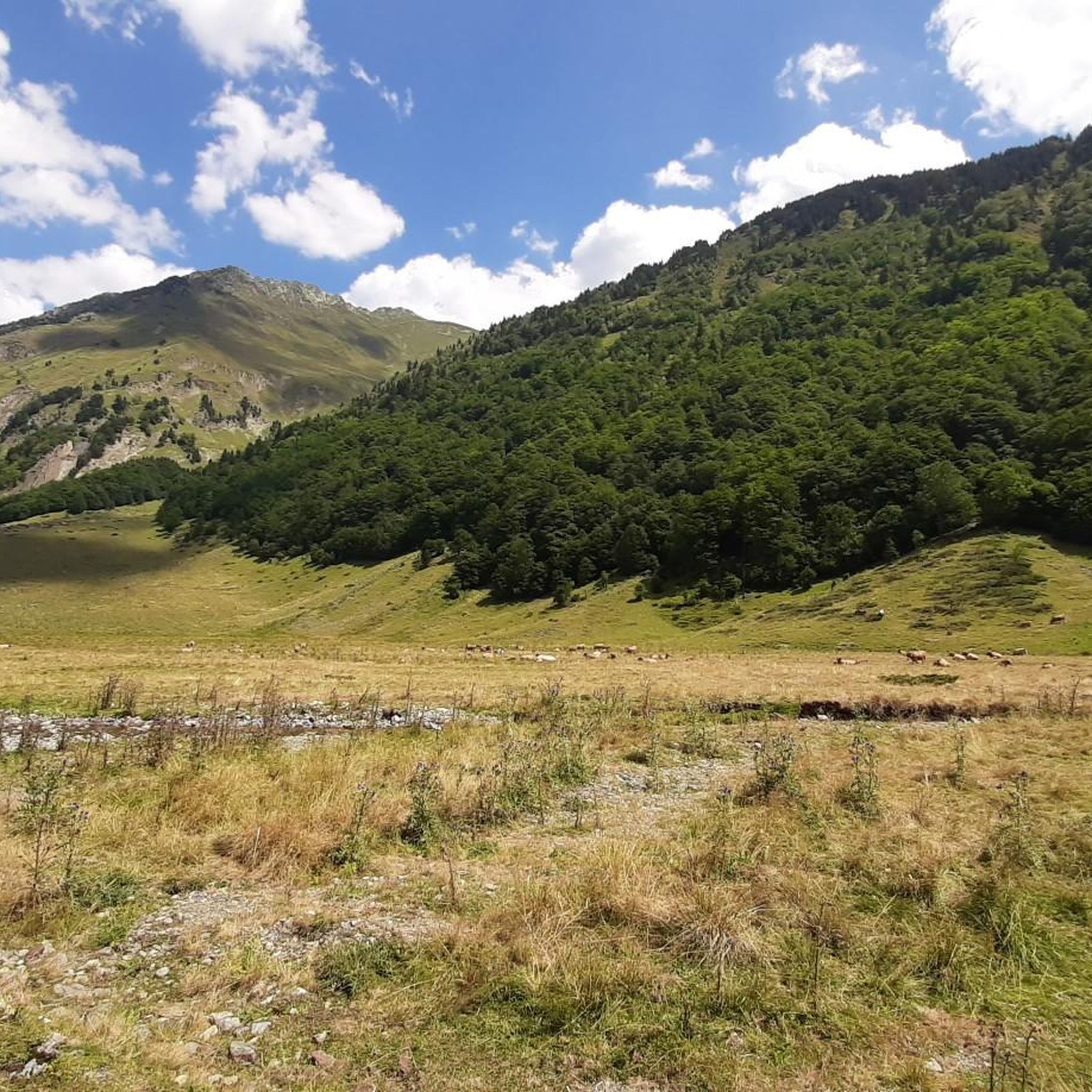
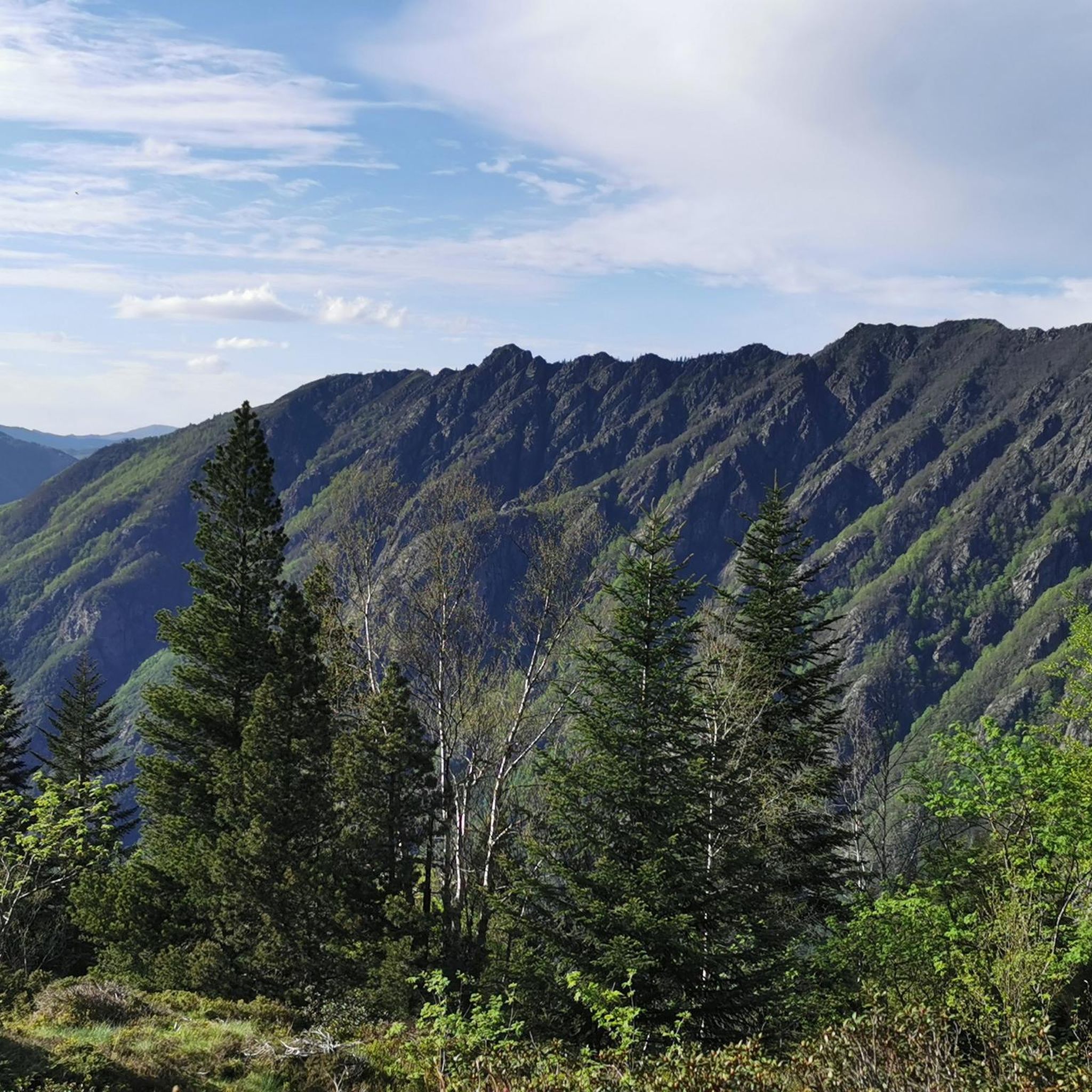
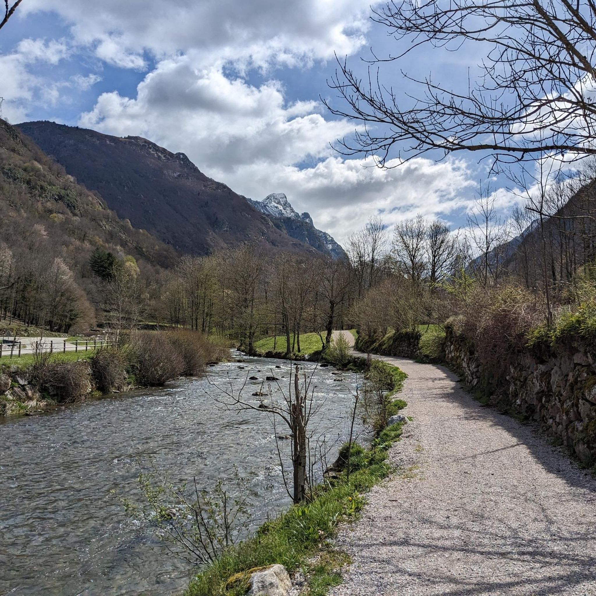
Hikers can expect a diverse range of landscapes, from warm, inviting forests with beech trees and moss-covered rocks to expansive open spaces. The trails often feature the sound of torrents and waterfalls, such as the cascade de Gnioles. As you gain elevation, the scenery transitions to high-altitude moors and impressive granitic peaks, offering panoramic views of the Orlu National Reserve.
Are there any circular walks around Étang De Naguilhes?
Yes, the region offers several circular walks. For instance, the moderate route This panorama – Vallée d'Orlu loop from Le Fanguil-Chalet provides panoramic views from wooded slopes. Another option is the challenging Flowers – Naguille Lake loop from Forges d'Orlu, which circles the lake itself.
What are some notable natural features or attractions along the hiking trails?
Beyond the stunning Étang de Naguilhes itself, which is the largest lake in Ariège, hikers will encounter diverse flora like rhododendrons and butterflies. You can also explore neighboring bodies of water such as the Deroun pond, Tort pond, and the Peyrisses ponds. The area is also known for its rich wildlife, including marmots and herds grazing in summer pastures.
Are there any historical or industrial points of interest to explore?
Yes, the area has a unique historical dimension related to its hydroelectric power origins. Hikers might encounter structures like the dam itself, an old cable car station, tunnels, rails, and wagonnets, offering a glimpse into the region's industrial past.
What do other hikers enjoy the most about hiking in Étang De Naguilhes?
The area is highly rated by the komoot community, with an average score of 4.6 stars from over 450 reviews. Reviewers often praise the wild and preserved environment, the tranquility, and the vast open spaces, as well as the diverse terrain ranging from forests to high-altitude peaks.
Are there any refuges or accommodation options for multi-day hikes?
For those undertaking multi-day excursions or seeking a break, the Refuge d'en Beys and Refuge des Camporells provide accommodation. These refuges offer a place to rest and an opportunity to connect with other hikers in the heart of the mountains.
Is there a wolf park nearby for animal enthusiasts?
Yes, the Maison des Loups (Wolf House) is located about ten minutes by car from the main parking area. It offers an opportunity to learn about wolves in a natural setting, making for an interesting visit before or after your hike.
What is the typical duration for hikes in this region?
Hike durations vary significantly based on difficulty and distance. For example, a moderate route like This panorama – Vallée d'Orlu loop from Le Fanguil-Chalet takes about 2 hours 39 minutes. More challenging routes, such as Etang d’En Beys and its refuge, can take nearly 6 hours, while the extensive En Beys Refuge – Vallée d'Orlu loop from Forges d'Orlu can take over 9 hours.
What level of fitness is required for hiking around Étang De Naguilhes?
The region offers trails for various fitness levels. While there are easier options, many routes involve significant elevation gains, with some reaching up to a 1000-meter altitude difference. For more challenging trails, good fitness and sturdy hiking shoes are recommended, as paths can be rocky.
Most popular routes around Étang De Naguilhes

Get inspired with the komoot mobile app


Explore more
Browse the best Hikes in other regions.
