The best mountain hikes around Wägitaler Lake
4.9
(52)
488
hikers
31
hikes
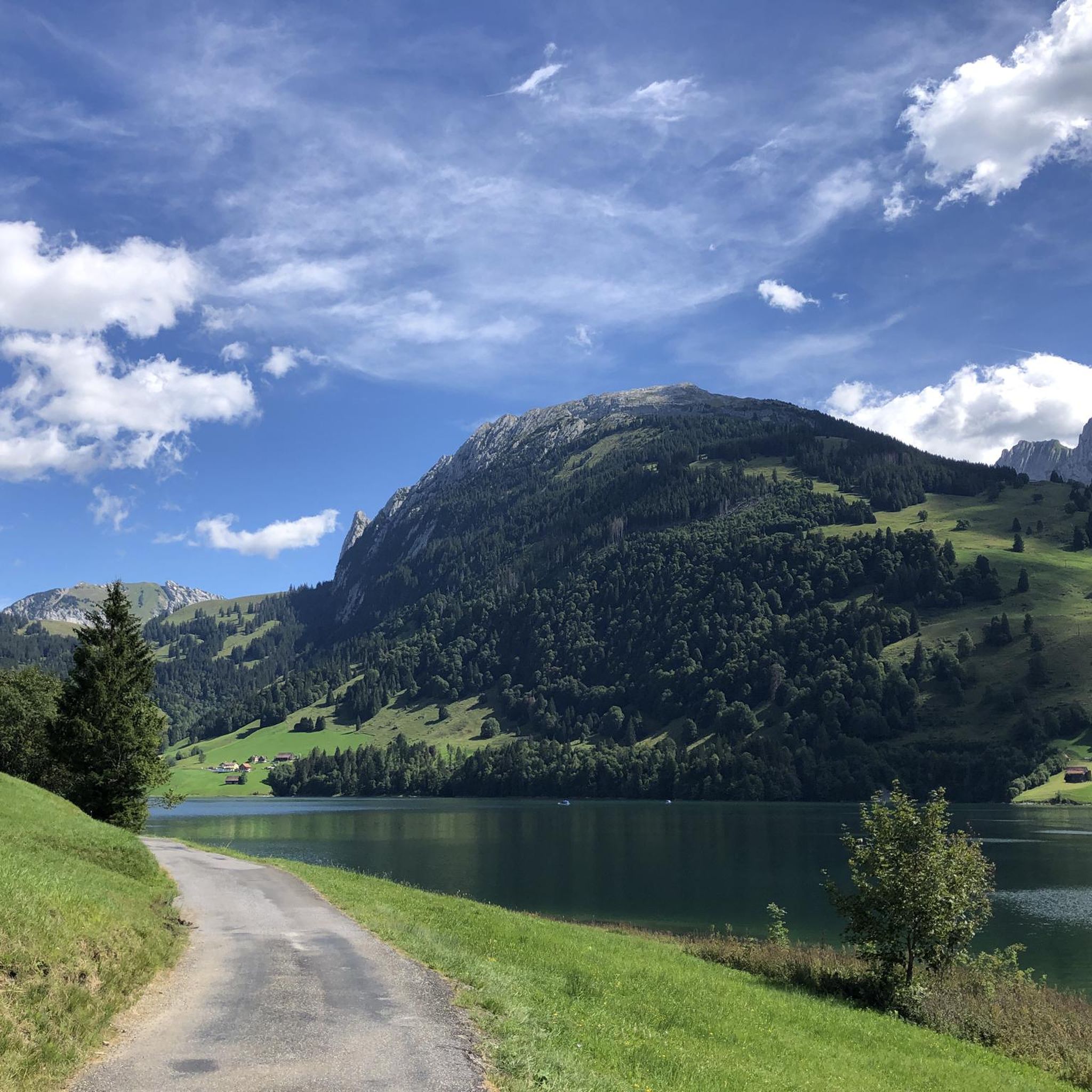
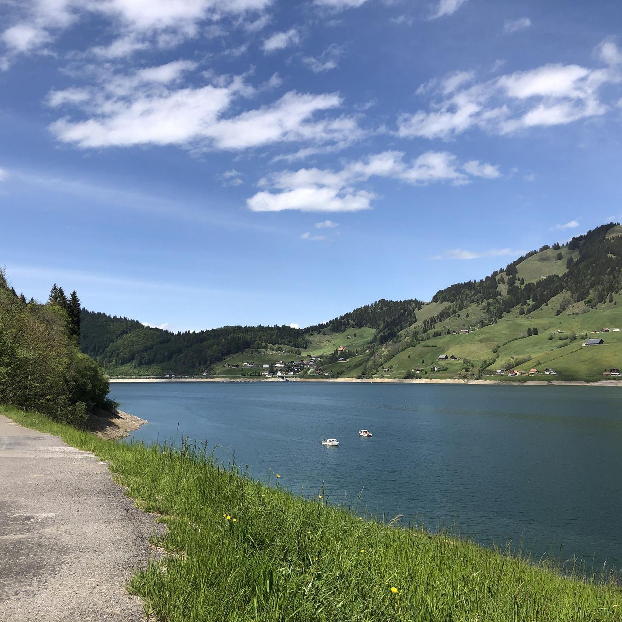
Mountaineering routes around Wägitaler Lake are situated in the canton of Schwyz, Switzerland, offering a diverse landscape for alpine pursuits. The region features a reservoir lake encircled by impressive peaks such as Gross Aubrig, Fluebrig, Zindlenspitz, Brünnelistock, and Bockmattli. The valley transitions from narrow, river-carved ravines to expansive pasturelands, providing varied terrain for challenging ascents and scenic traverses.
Best mountaineering routes around Wägitaler Lake
- The most popular mountaineering route is Wägitalersee – Brünnelistock (2,133 m) loop from Wägitalersee, a…
Last updated: July 7, 2026
5.0
(6)
40
hikers
13.3km
07:31
1,260m
1,260m
Hard mountaineering route. Very good fitness required. Sure-footedness, sturdy shoes and alpine experience required.
5.0
(2)
43
hikers
12.5km
05:54
990m
990m
Hard mountaineering route. Very good fitness required. Sure-footedness, sturdy shoes and alpine experience required.

Sign up for free
5.0
(2)
35
hikers
14.0km
07:42
1,310m
1,310m
Hard mountaineering route. Very good fitness required. Sure-footedness, sturdy shoes and alpine experience required.
5.0
(3)
21
hikers
9.83km
06:05
1,110m
1,110m
Hard mountaineering route. Very good fitness required. Sure-footedness, sturdy shoes and alpine experience required.
4.0
(2)
14
hikers
10.4km
04:54
800m
800m
Hard mountaineering route. Good fitness required. Sure-footedness, sturdy shoes and alpine experience required.
Get access to more routes and recommendations from other explorers.
Sign up for free
Already have an account?
Our route recommendations are based on thousands of hikes, rides, and runs completed by other people on komoot.
Start today with a free account
Your next adventure awaits.
Login or Signup
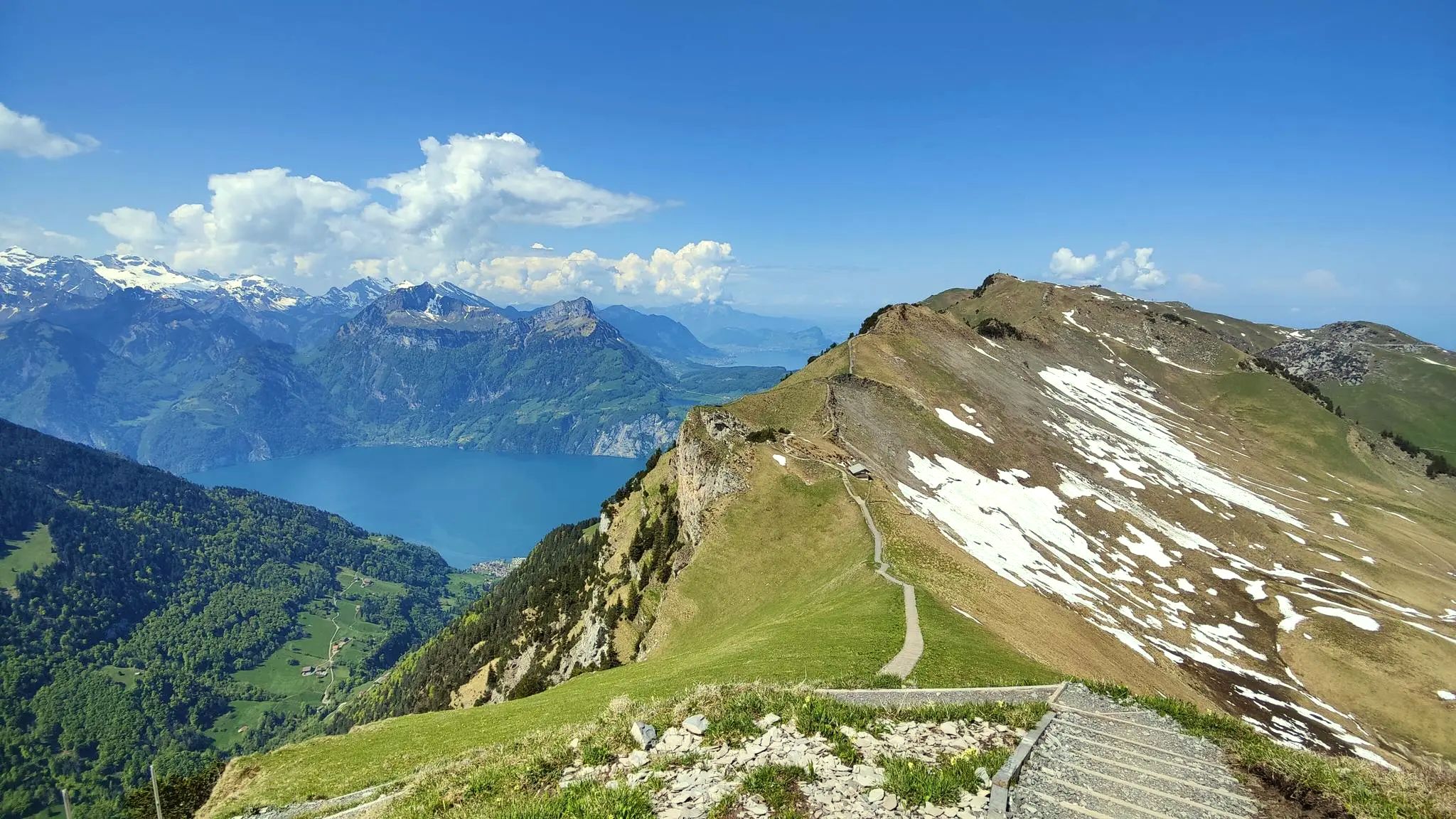
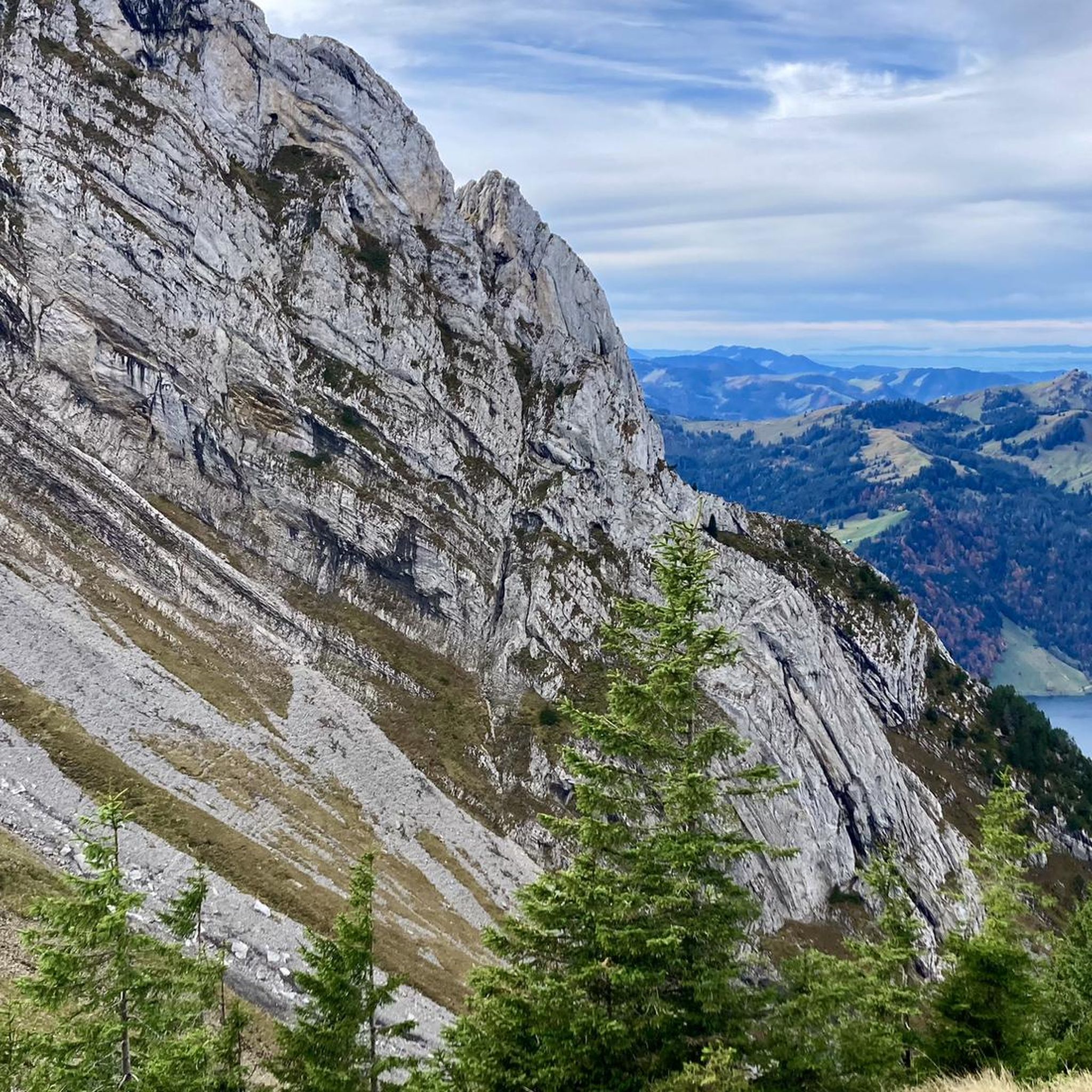
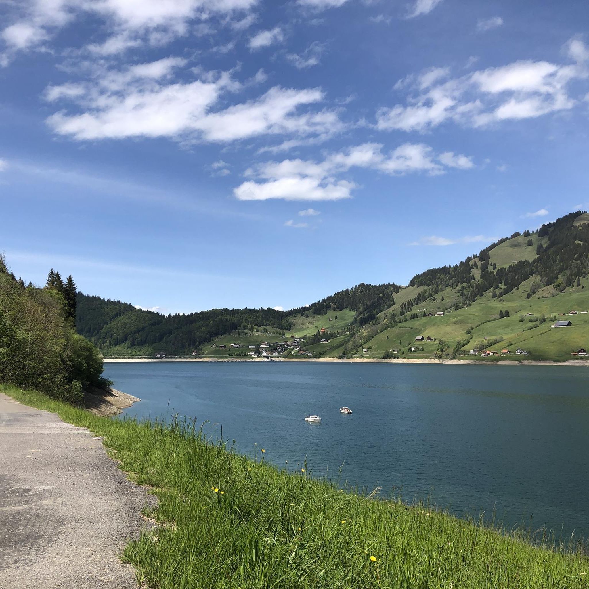

Other adventures around Wägitaler Lake

Tips from the Community


Not an entirely easy ascent. But rewarded with a magnificent panorama. Can be combined well with the Chli Aubrig.
3
0
Frequently Asked Questions
How many mountaineering routes are available around Wägitaler Lake?
There are over 30 mountaineering routes documented around Wägitaler Lake on komoot, offering a wide range of challenges for alpine enthusiasts. The majority of these, 28 routes, are classified as difficult, with 5 moderate and 1 easy option also available.
What kind of terrain can I expect on mountaineering routes in Wägitaler Lake?
Mountaineering routes around Wägitaler Lake feature diverse terrain, transitioning from narrow, river-carved ravines to expansive alpine pasturelands. You'll encounter impressive peaks, challenging vertical walls, and varied landscapes that demand good fitness and sure-footedness, especially on the more difficult trails.
Are there any circular mountaineering routes around Wägitaler Lake?
Yes, many of the mountaineering routes around Wägitaler Lake are designed as loops. For example, you can tackle the challenging Wägitalersee – Brünnelistock (2,133 m) loop from Wägitalersee, or the Bockmattli Hut – Bockmattlistock Summit loop from March, both offering a complete alpine experience.
What are some notable natural features or landmarks to see while mountaineering in the Wägitaler Lake region?
The region is rich in natural beauty. You can encounter the impressive Lake Wägital itself, surrounded by peaks like Gross Aubrig and Brünnelistock. Other highlights include the fascinating Hundloch Spring, a grotto-like feature, and the scenic Schrähbach Waterfall. The historic Schräh Dam, once the tallest in the world, is also a significant landmark.
Are there any mountaineering routes suitable for beginners or those new to alpine climbing?
While the majority of routes are classified as difficult, there are a few options for those with less experience. There is 1 easy route and 5 moderate routes available. These still require good fitness and sure-footedness, but offer a less demanding introduction to the alpine environment compared to the more challenging summits.
What is the best time of year for mountaineering around Wägitaler Lake?
The best time for mountaineering around Wägitaler Lake is typically during the warmer months, from late spring through early autumn (roughly May to October). During this period, trails are generally free of snow, and weather conditions are more stable, making for safer and more enjoyable ascents. Always check local weather forecasts and trail conditions before heading out.
What do other mountaineers say about the routes around Wägitaler Lake?
The mountaineering routes around Wägitaler Lake are highly rated by the komoot community, with an average score of 4.9 stars from over 50 reviews. Mountaineers often praise the stunning panoramic views from summits like Gross Aubrig and Brünnelistock, the challenging yet rewarding ascents, and the diverse alpine landscapes.
Can I bring my dog on the mountaineering routes?
Many trails in the Wägitaler Lake region are dog-friendly, but it's crucial to check specific route details on komoot for any restrictions or challenging sections that might not be suitable for dogs. Always keep your dog on a leash, especially in alpine pastures where livestock may be present, and ensure they are fit enough for the chosen route.
Are there any routes that offer views of multiple lakes?
Yes, a hike to the summit of Gross Aubrig, such as the Gross Aubrig Summit loop from March, is renowned for its unique panoramic views. From this vantage point, you can often see Wägitaler Lake, Lake Zurich, Lake Greifen, Lake Pfäffiker, and Lake Sihl, making for a truly spectacular experience.
Are there any challenging ridge hikes in the area?
Yes, for experienced mountaineers seeking a thrilling challenge, the Ridge Trail to Turner – Fluebrig Ridge Hike loop from Au offers a demanding experience. This route involves significant elevation gain and traverses exposed ridge sections, providing an exhilarating alpine adventure with expansive views.
What is the highest peak accessible via a mountaineering route in this guide?
One of the highest peaks accessible through the routes in this guide is Brünnelistock, standing at 2,133 meters. The Wägitalersee – Brünnelistock (2,133 m) loop from Wägitalersee will take you to its prominent summit, offering extensive views of the surrounding Swiss Alps.
Are there any routes that explore the famous Bockmattli mountain?
Absolutely. The Bockmattli mountain is a significant draw for climbers due to its challenging vertical walls. The Bockmattli Hut – Bockmattlistock Summit loop from March is a difficult route that explores the demanding terrain around Bockmattli, providing an intense mountaineering experience.
Most popular routes around Wägitaler Lake
Most popular attractions around Wägitaler Lake

Get inspired with the komoot mobile app


Explore more
Browse the best Mountain Hikes & Routes in other regions.
