The best walks and hikes around Wägitaler Lake
4.6
(3302)
22,358
hikers
44
hikes
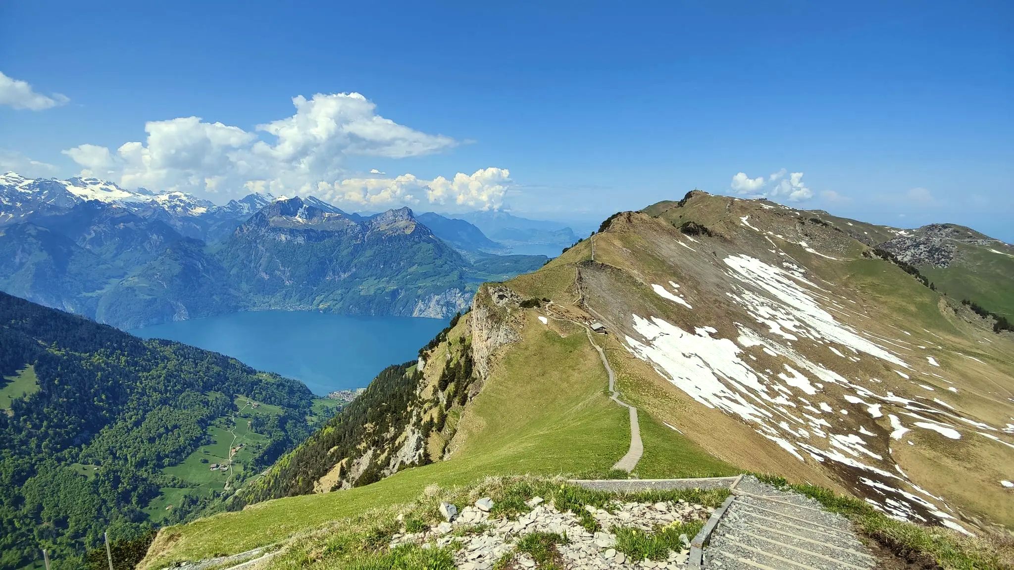
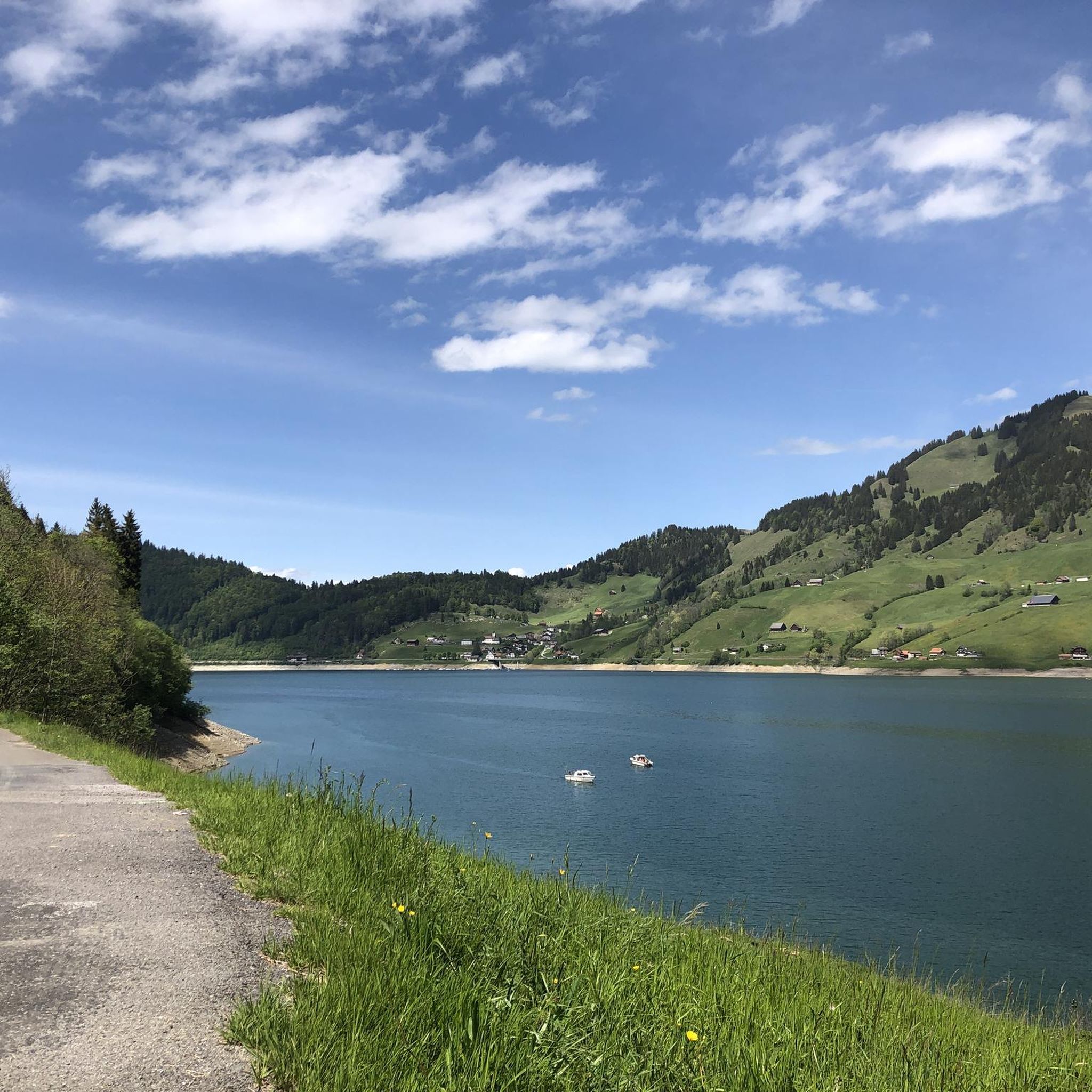
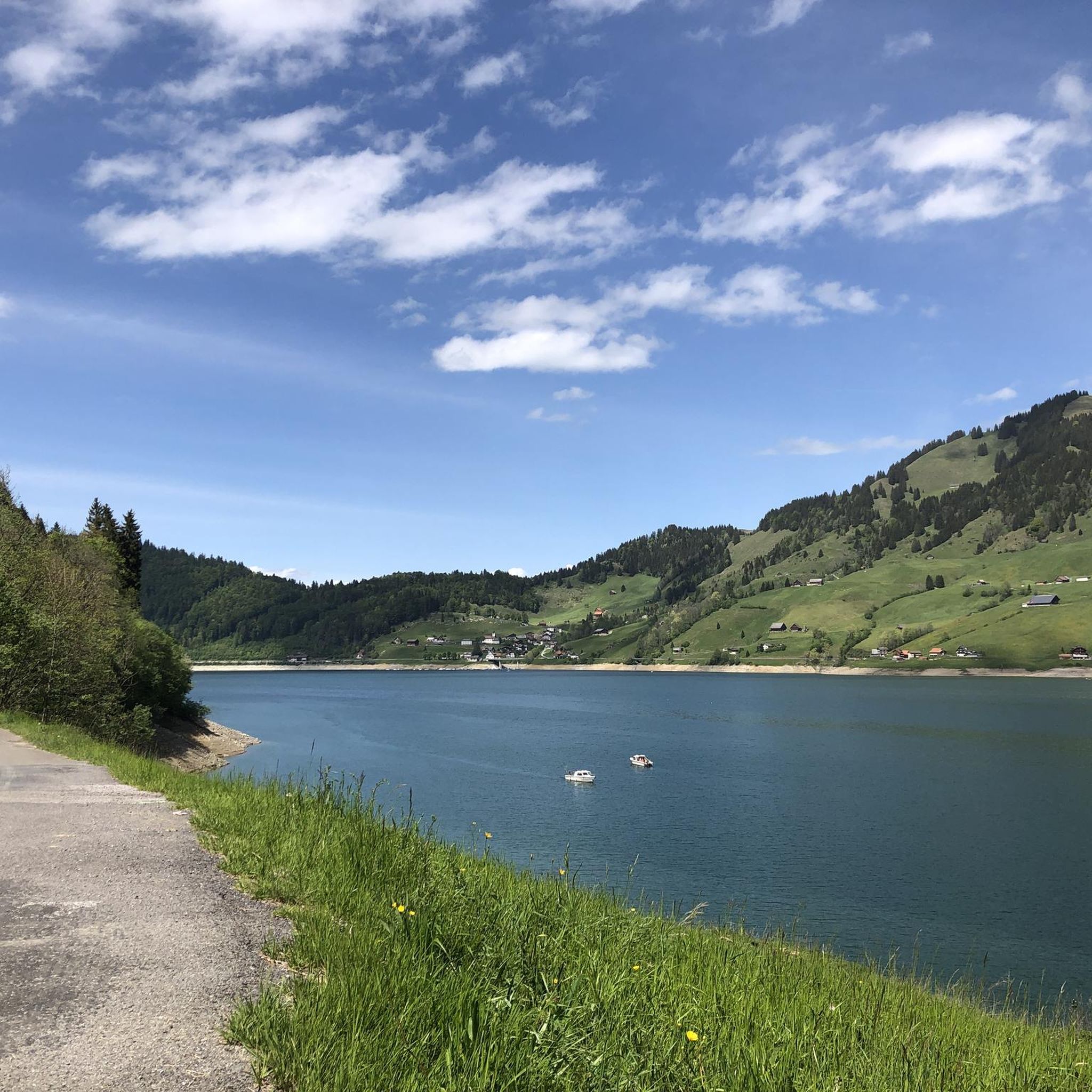
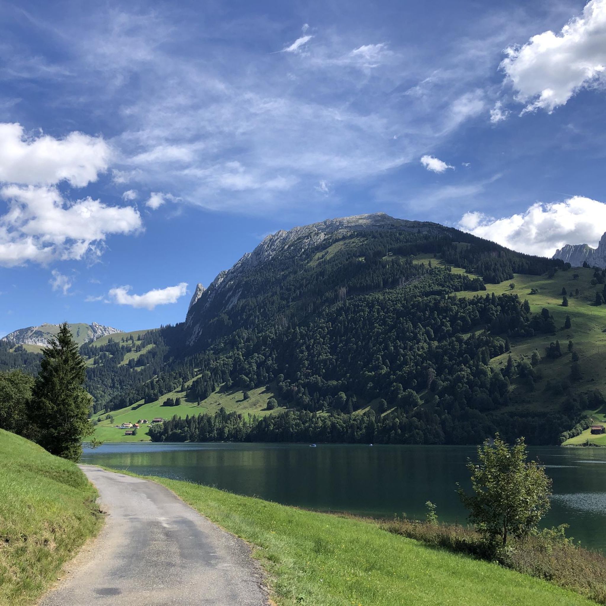
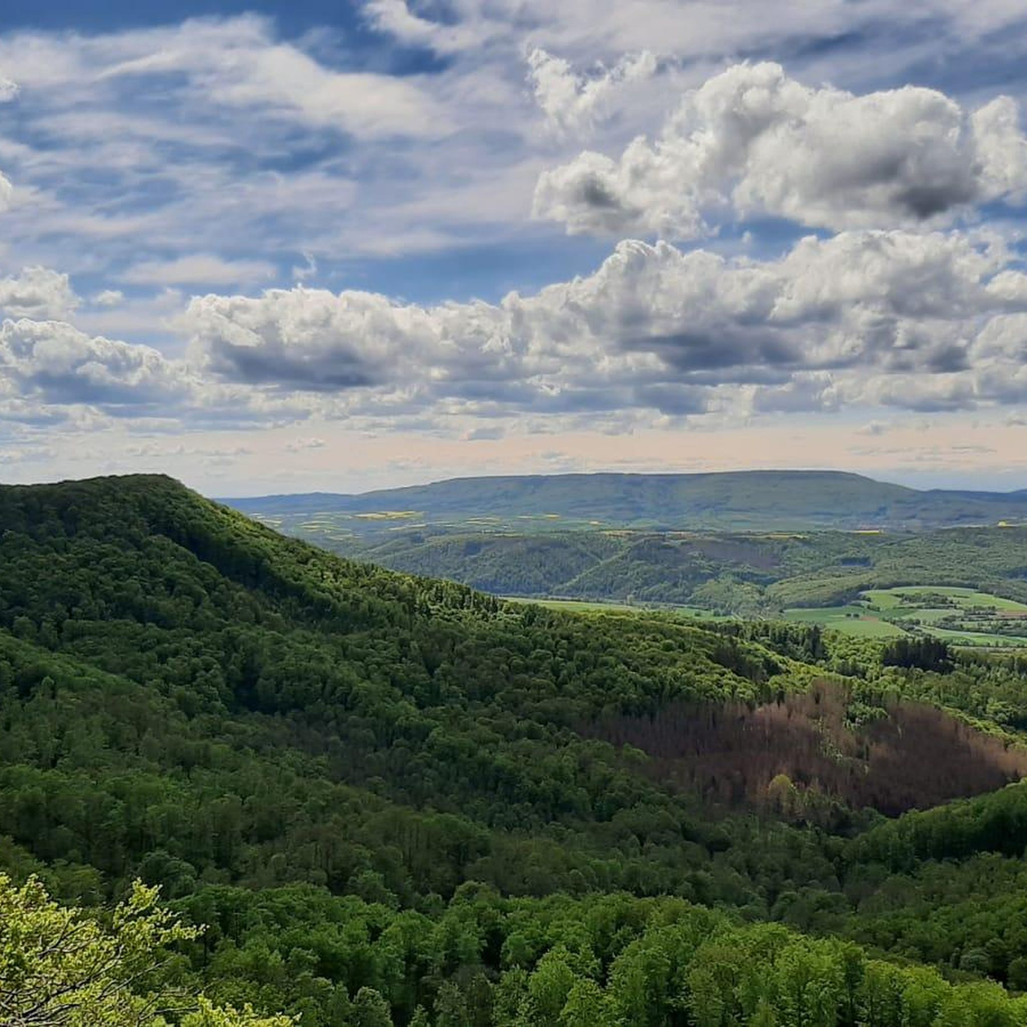
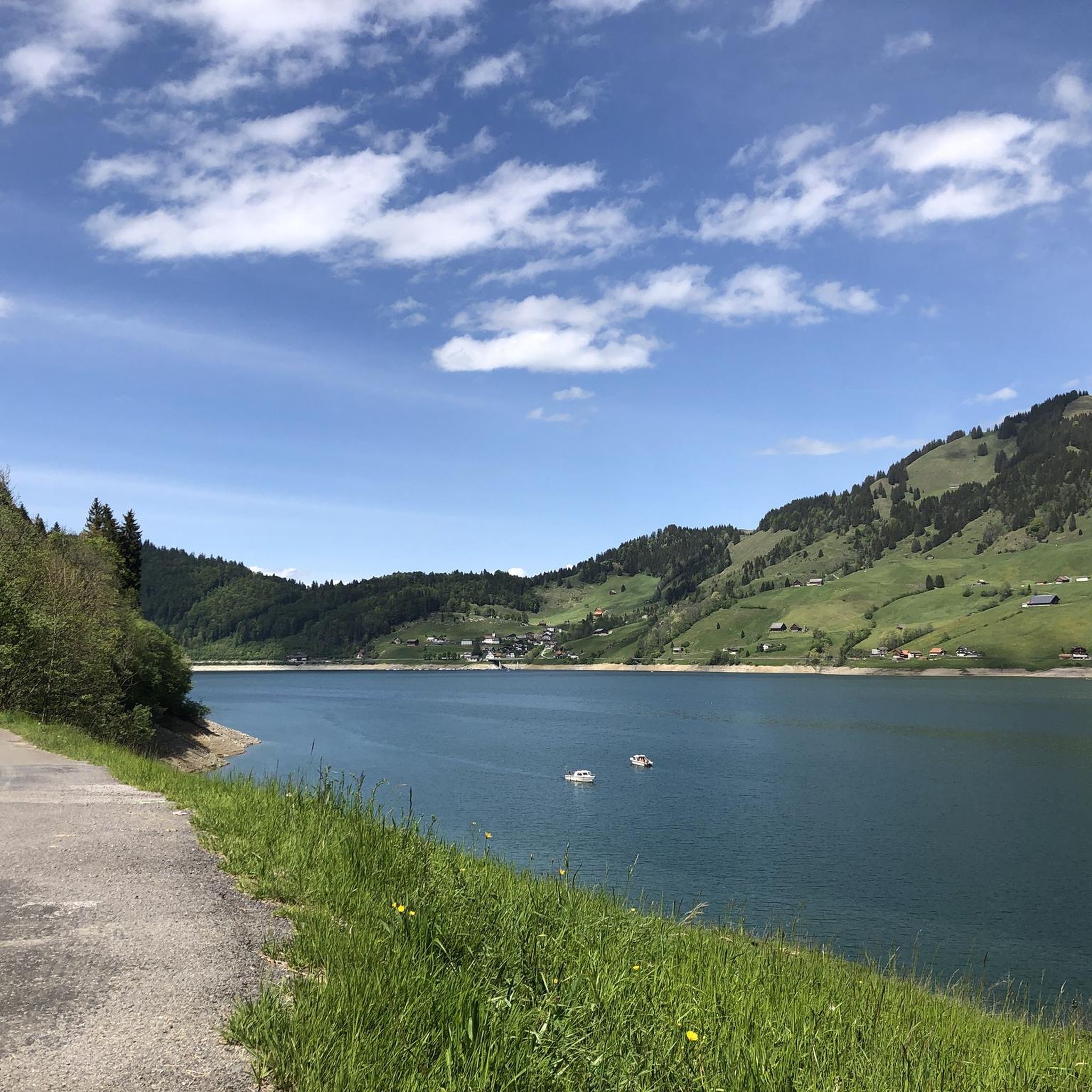
Hiking around Wägitaler Lake offers a range of trails set within the picturesque Wägital Valley in the canton of Schwyz, Switzerland. The region is characterized by an artificial reservoir encircled by impressive mountains such as Gross Aubrig, Fluebrig, and Bockmattli. These natural features create a dramatic mountainous panorama, with reflections often visible in the lake's calm waters. The valley provides diverse terrain for hiking, from lakeside paths to challenging mountain ascents.
Best hiking trails around Wägitaler Lake
- The most popular hiking route is Schwyz Wonder Hike: Wägital and Bockmattli, a 5.9 miles (9.5 km) trail that takes 3 hours 33 minutes to complete. This route features moderate elevation gain through varied landscapes.
- Another top favourite among local hikers is View of Wägitalersee – Gross Aubrig Summit loop from March, a difficult 6.7 miles (10.8 km) path. This challenging trail leads to the Gross Aubrig summit, offering extensive views of the surrounding lakes and valleys.
- Local hikers also love the View of Bockmattli – Bockmattli Hut loop from March, a 9.1 miles (14.6 km) trail leading through mountainous terrain, often completed in about 6 hours 50 minutes.
- Hiking around Wägitaler Lake is defined by dramatic mountain peaks, serene lake views, and diverse valley paths. The network offers options for different ability levels, from moderate walks to difficult alpine experiences.
- The routes in Wägitaler Lake are highly rated by the komoot community with an average score of 4.7 stars from nearly 1,000 reviews. More than 7,000 hikers have used komoot to explore Wägitaler Lake's varied terrain.
Last updated: July 5, 2026
4.5
(48)
250
hikers
9.52km
03:33
560m
560m
Moderate hike. Good fitness required. Mostly accessible paths. Sure-footedness required.
4.4
(51)
380
hikers
10.4km
04:54
800m
800m
Hard hike. Good fitness required. Sure-footedness, sturdy shoes and alpine experience required.

Sign up for free
4.6
(30)
159
hikers
8.16km
03:10
480m
480m
Moderate hike. Good fitness required. Mostly accessible paths. Sure-footedness required.
5.0
(21)
132
hikers
10.4km
03:45
540m
540m
Moderate hike. Good fitness required. Mostly accessible paths. Sure-footedness required.
4.8
(17)
156
hikers
8.09km
02:46
420m
420m
Moderate hike. Good fitness required. Mostly accessible paths. Sure-footedness required.
Get access to more routes and recommendations from other explorers.
Sign up for free
Already have an account?
Our route recommendations are based on thousands of hikes, rides, and runs completed by other people on komoot.
Start today with a free account
Your next adventure awaits.
Login or Signup

Other adventures around Wägitaler Lake

Tips from the Community


View of the Wägital/Glärnisch
1
0

In winter, unfortunately, without any real water.
0
0
Frequently Asked Questions
What types of hiking trails are available around Wägitaler Lake?
The Wägitaler Lake region offers a diverse range of hiking trails suitable for various fitness levels. You'll find everything from leisurely lakeside strolls, like the easy walk around the lake itself, to moderate routes such as the Schwyz Wonder Hike: Wägital and Bockmattli, and challenging mountain ascents like the View of Wägitalersee – Gross Aubrig Summit loop from March.
Are there any easy or family-friendly hikes around Wägitaler Lake?
Yes, for families and those seeking easier options, there's an approximately three-hour walk around Wägitaler Lake. This paved path is ideal for strollers, joggers, and cyclists. It offers a gentle way to enjoy the scenic beauty of the lake and its surrounding mountains.
What are some challenging hiking options for experienced hikers?
Experienced hikers can tackle demanding routes that offer significant elevation gain and stunning views. Notable challenging hikes include the View of Wägitalersee – Gross Aubrig Summit loop from March, which features around 800 meters of elevation gain, and the View of Bockmattli – Bockmattli Hut loop from March, with over 1,000 meters of ascent. These require good fitness, sure-footedness, and appropriate gear.
What natural features or landmarks can I see while hiking near Wägitaler Lake?
The Wägitaler Lake area is rich in natural beauty. You can enjoy the reflections of impressive mountains like Gross Aubrig and Fluebrig in the lake. Don't miss the Hundloch Spring, a refreshing natural mountain spring resembling a grotto. Other highlights include the Schrähbach Waterfall and the dramatic Hundsquelle Gorge.
Are there any circular hiking routes around Wägitaler Lake?
Yes, the region offers several circular routes. Beyond the easy lake circuit, you can find moderate loops such as the View of Bockmattli – Lake Wägital loop from March, which provides varied terrain and scenic vistas as you complete your journey back to your starting point.
What do other hikers enjoy most about Wägitaler Lake?
The area is highly rated by the komoot community, with an average score of 4.7 stars from nearly 1,000 reviews. Hikers often praise the dramatic mountain peaks, the serene lake views, and the diverse valley paths that cater to different ability levels. The stunning reflections of the mountains in the calm lake are frequently highlighted as a favorite aspect.
Is Wägitaler Lake accessible by public transport?
Yes, Wägitaler Lake is accessible by public transport. A Postbus route connects to Innerthal, making it convenient for hikers to reach the area without a car and start their adventures directly from the lakeside village.
Are there parking facilities available for hikers at Wägitaler Lake?
Yes, the waterside of Wägitaler Lake is accessible by car, and parking facilities are available. This makes it convenient for those who prefer to drive to the starting points of their chosen hiking trails.
What is the best time of year to go hiking around Wägitaler Lake?
The Wägitaler Lake region is generally best for hiking from spring through autumn. During these seasons, the trails are typically clear of snow, and the weather is more favorable for outdoor activities. The reflections of the mountains in the lake are particularly striking on calm days.
Can I bring my dog on the hiking trails around Wägitaler Lake?
While specific regulations can vary, many hiking trails in Switzerland, including those around Wägitaler Lake, are generally dog-friendly. It's always recommended to keep dogs on a leash, especially in areas with livestock or wildlife, and to ensure you clean up after your pet. The easy lakeside path is a popular choice for walks with dogs.
How many hiking routes are there in total around Wägitaler Lake?
There are over 45 hiking routes available around Wägitaler Lake, offering a wide selection for all preferences. This includes 8 easy routes, 21 moderate routes, and 18 difficult routes, ensuring there's a suitable path for every hiker.
Are there any historical or cultural points of interest in the Wägital Valley?
While Wägitaler Lake itself is an artificial reservoir created in 1924 for hydroelectric power, the valley has a rich history. The original village of Innerthal was submerged, and a new one was built. The broader Wägital Valley is also known for its extensive network of approximately 200 caves and 22 cultivated alps, offering glimpses into traditional alpine life and natural geology.
Most popular routes around Wägitaler Lake
Most popular attractions around Wägitaler Lake

Get inspired with the komoot mobile app


Explore more
Browse the best Hikes in other regions.
