The best road cycling routes around Pantà de la Llosa del Cavall
3.8
(16)
2,817
riders
33
rides
Road cycling around Pantà de la Llosa del Cavall offers diverse terrain, from gentle slopes to challenging mountain passes, set amidst a natural landscape. The region features smooth asphalt roads that traverse picturesque villages and quiet secondary routes. Cyclists encounter varying elevation changes, providing opportunities for both high-speed sections and endurance-testing climbs. The area is characterized by its wild mountainous zones, including cliffs, forests, and the emerald waters of the reservoir.
Best road cycling routes around Pantà de la Llosa…
Last updated: July 12, 2026
23
riders
33.3km
02:17
1,060m
1,060m
Hard road ride. Very good fitness required. Mostly well-paved surfaces and easy to ride.
6
riders
10.9km
00:39
270m
270m
Easy road ride. Great for any fitness level. Mostly well-paved surfaces and easy to ride.

Sign up for free
4.0
(1)
319
riders
114km
07:01
3,150m
3,140m
Hard road ride. Very good fitness required. Mostly well-paved surfaces and easy to ride.
4.7
(3)
158
riders
79.0km
04:58
2,130m
2,130m
Hard road ride. Very good fitness required. Mostly well-paved surfaces and easy to ride.
131
riders
32.7km
02:05
890m
890m
Moderate road ride. Good fitness required. Mostly well-paved surfaces and easy to ride.
Get access to more routes and recommendations from other explorers.
Sign up for free
Already have an account?
Our route recommendations are based on thousands of hikes, rides, and runs completed by other people on komoot.
Start today with a free account
Your next adventure awaits.
Login or Signup
Tips from the Community

Sant Llorenç de Morunys is a town in the Solsonès region located at 925 metres above sea level, surrounded by the Port del Comte, Busa and Verd mountain ranges. It has a well-preserved medieval centre, with walls, cobbled streets and the 11th-century Romanesque church of Sant Llorenç, as the centre of the complex. It is a key point of passage and stop for mountain routes, cycle tours and crossings through the Pre-Pyrenees. The entrance and exit of the town can be done via roads with demanding slopes or forest tracks depending on the itinerary, but it is always worth stopping there to recover energy, fill up water bottles or take a quality break. A good place to charge batteries, both physical and e-bike.
1
0

Coll de Josa, between Gòsol and Josa del Cadí. Inflection point on the road, you go up here and from here you go down.
1
1

Coll de Josa from Tuixent is a climb in the Spanish Pyrenees region. It has a length of 11.2 kilometers and an ascent of 517 vertical meters with an average gradient of 4.6%, the top of the ascent is located at 1630 meters above sea level.
1
1

It is a very well preserved high mountain town. The classic photo from outside the town is beautiful.
0
0
Like the Coll de Port, this pass of the Coll de la Josa is another beautiful pre-Pyrenean pass, where you breathe tranquility and where you travel through a spectacular and remote high mountain landscape. Both slopes are manageable, with the west slope starting in the beautiful village of Tuixent being the longest. The slope that leaves Gòsol is very short and with intermediate ramps. The road is in perfect condition and is not particularly narrow. The road to Coll de Port is narrower.
0
0
This is a beautiful high mountain pass located in the pre-Pyrenees. It is a manageable and steady pass from both sides, with the Sant Llorenç de Morunys side being slightly tougher. There is a sense of tranquility and traffic is practically non-existent. The road is narrow and the asphalt is very rough and worn, which adds to the difficulty of the pass. I recommend the alternative of reaching the La Vansa cross-country ski resort, about 5 km above the Coll de Port. If you climb from Sant Llorenç de Morunys, with just under 4 km to the summit, a road branches off that takes you directly to the Port del Compte ski resort... after some tough ramps. If you want details of the altitude profile, I recommend the one drawn by Ramacabici: http://www.ramacabici.com/altimetrias/lavansa01.htm
1
0
Very pleasant port of passage between Berga and Sant Llorenç de Morunys, with a very characteristic tunnel at the top. The two slopes are constant and accessible, with a lot of curves and along a very well paved and signposted mountain road. You can also reach the Mine through the port of Malpás de Capolat. It is a narrow road, with good asphalt, very quiet, a continuous up and down, although from the Mine it goes up more than down.
1
1

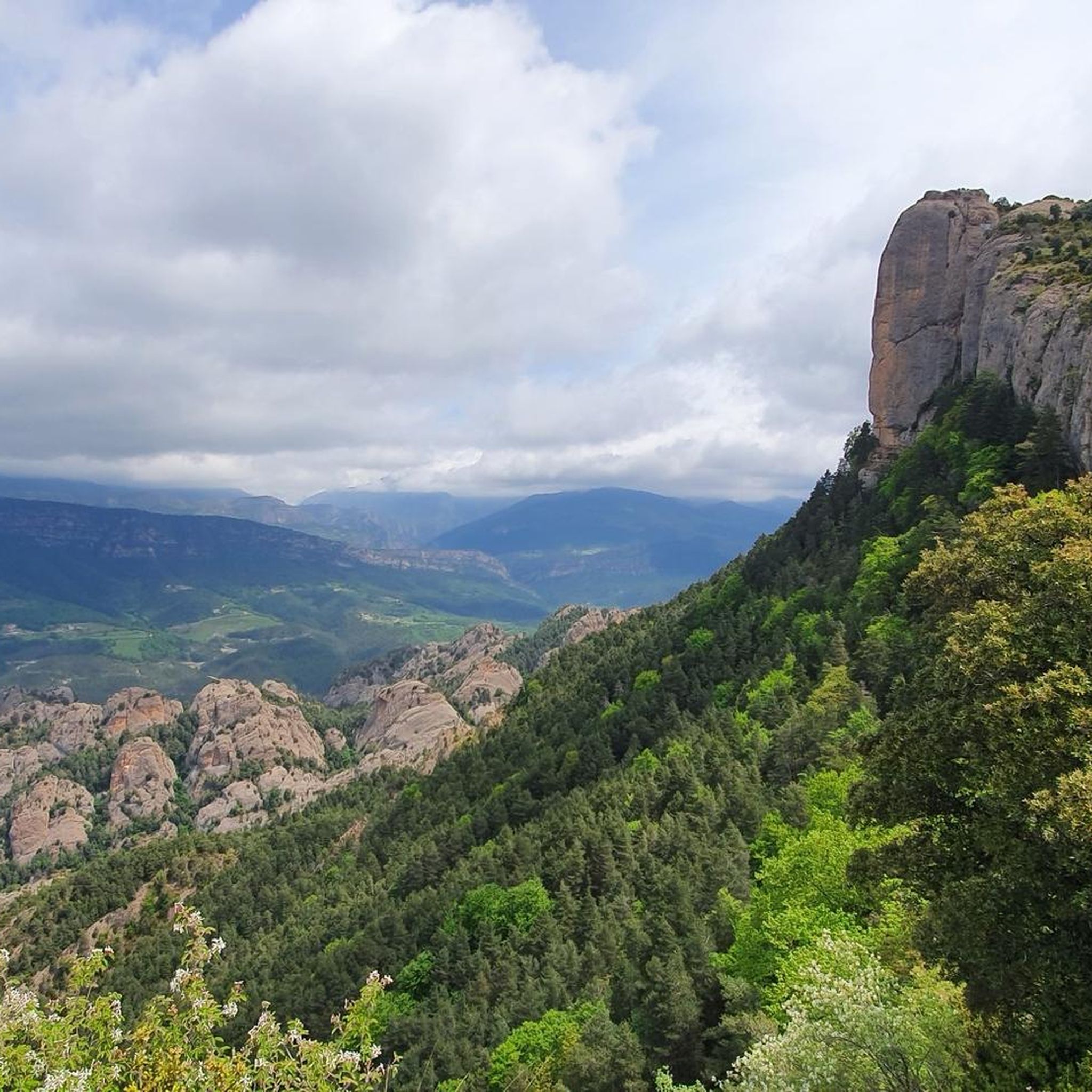
The magnificent views from the viewpoint over the Berguedà valleys and the Pyrenees alone make the climb up here worthwhile.
1
0
Frequently Asked Questions
How many road cycling routes are available around Pantà de la Llosa del Cavall?
There are over 30 road cycling routes available in the Pantà de la Llosa del Cavall region. These routes cater to various skill levels, from easy rides to very challenging mountain climbs.
What kind of terrain can I expect on road cycling routes around Pantà de la Llosa del Cavall?
The region offers diverse terrain, from gentle slopes to challenging mountain passes. You'll find smooth asphalt roads that traverse picturesque villages and quiet secondary routes. Cyclists can expect varying elevation changes, providing opportunities for both high-speed sections and endurance-testing climbs through wild mountainous zones, cliffs, forests, and along the emerald waters of the reservoir.
Are there road cycling routes suitable for beginners or families?
Yes, there are routes suitable for less experienced cyclists. For example, the Sant Llorenç de Morunys – Restaurante Jardí loop from les Cases de Posada is an easy 6.8-mile (10.9 km) path, offering a less strenuous ride through the local scenery. Overall, there are 2 easy routes available.
Where can I find challenging road cycling routes in the area?
For those seeking a challenge, Pantà de la Llosa del Cavall offers 20 difficult road cycling routes. A notable option is the Sant Llorenç de Morunys – Coll de Jou Churro Shop loop from Pantà de la Llosa del Cavall, a 20.7-mile (33.3 km) trail featuring significant elevation gain, including the ascent to Coll de Jou.
Are there circular road cycling routes around Pantà de la Llosa del Cavall?
Yes, many of the routes in the area are circular, allowing you to start and end at the same point. For instance, the Sierra de Port del Compte - Circular from Sant Llorenç de Morunys offers a substantial 78.9-kilometer loop with significant climbs.
What scenic viewpoints can I find along the road cycling routes?
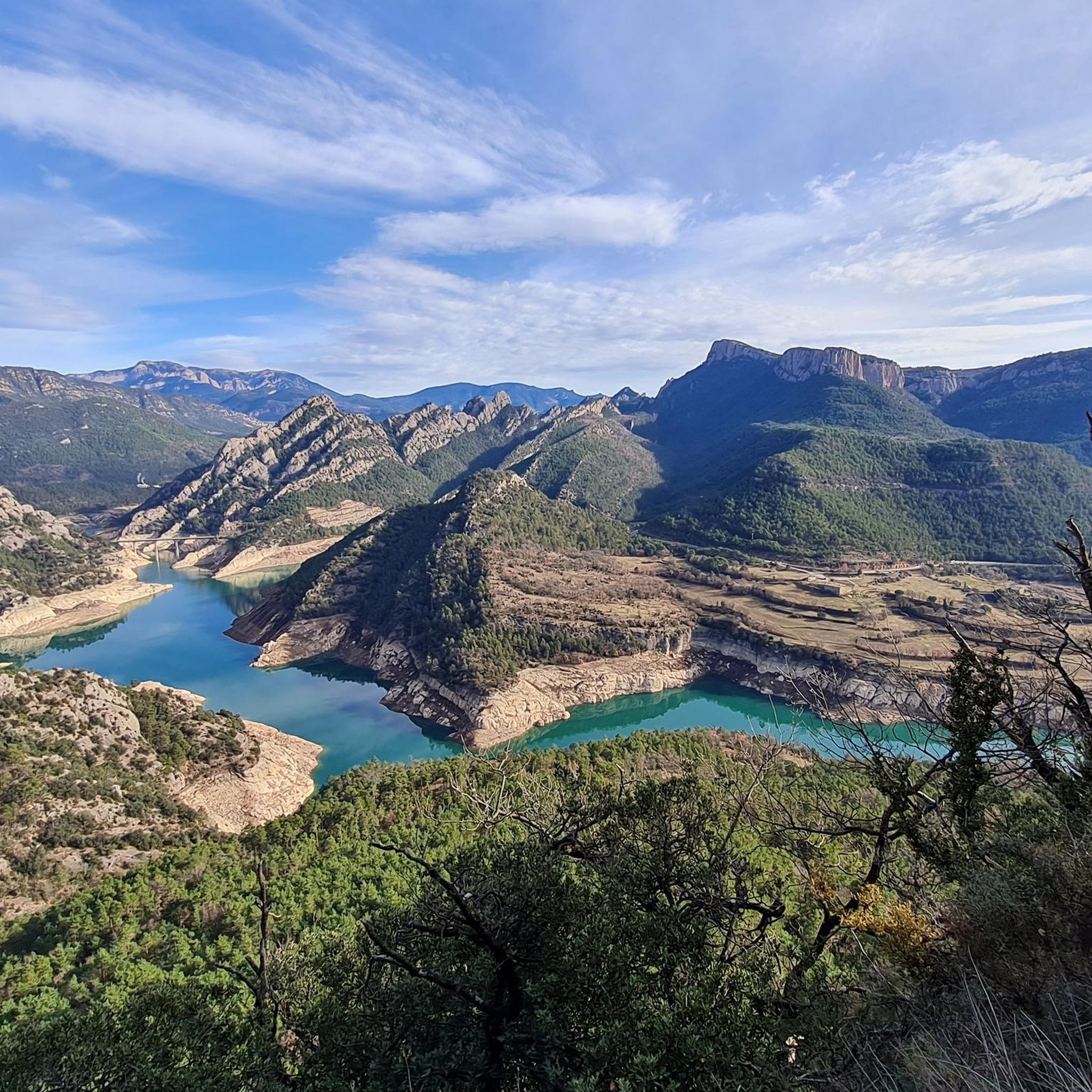
The region is known for its stunning panoramic views. The Josep Cases Viewpoint offers expansive vistas of the reservoir and the surrounding mountain ranges, including the Sierras de Busa, Ensija, and del Verd. Many routes will naturally pass by or offer detours to similar scenic spots.
What is the best time of year for road cycling around Pantà de la Llosa del Cavall?
The region is generally suitable for road cycling for much of the year. However, for the most pleasant conditions, spring and autumn offer milder temperatures and beautiful scenery. Summer can be warm, especially on climbs, while winter might bring colder temperatures and potential snow at higher elevations.
Are there any historical or cultural sites to explore near the road cycling routes?
Yes, the region has historical interest. You can explore sites like the jail of Busa (El Capolatell), a plain surrounded by cliffs used as a prison during the French War of Independence, and the Santuario de Lord, known for its well-maintained grounds and magnificent views.
What other activities can I enjoy in the Pantà de la Llosa del Cavall area besides road cycling?
Beyond road cycling, the area offers a wide range of outdoor activities. You can find numerous trails for hiking and mountain biking, enjoy water sports like kayaking and wild swimming in the reservoir, or even try bungee jumping at the dam for an adrenaline rush.
What do other road cyclists think about the routes in Pantà de la Llosa del Cavall?
The road cycling routes in Pantà de la Llosa del Cavall are highly rated by the komoot community, with an average score of 3.7 stars from over 10 reviews. More than 2,700 road cyclists have used komoot to explore the varied terrain, often praising the reservoir views and quiet secondary roads.
Is there parking available for road cyclists near the routes?
While specific parking areas are not detailed for every route, the region is generally accommodating for visitors. Many starting points for routes, especially in villages like Sant Llorenç de Morunys, will have designated parking facilities or roadside parking options suitable for cyclists.
How can I reach Pantà de la Llosa del Cavall using public transport?
Public transport options to Pantà de la Llosa del Cavall may be limited, as it is a more secluded natural area. It is advisable to check local bus schedules from larger nearby towns like Solsona or Sant Llorenç de Morunys, as direct connections to the reservoir itself might be infrequent. Driving or carpooling is often the most convenient way to access the starting points of many routes.
Most popular routes around Pantà de la Llosa del Cavall

Get inspired with the komoot mobile app


Explore more
Browse the best Road cycling routes in other regions.
