The best walks and hikes in Castellón
4.5
(5816)
38,628
hikers
2,144
hikes
Hiking in Castellón offers diverse landscapes, from Mediterranean coastlines to rugged mountainous interiors. The region is characterized by natural parks such as Penyagolosa, Sierra de Irta, and Sierra de Espadán, featuring cork oak forests, deep ravines, and wetlands. Hikers can explore varied terrain, including coastal paths, riverine routes, and challenging mountain ascents.
Best hiking trails in Castellón
- The most popular hiking route is Los Estrechos Trail, a 3.1 miles (5.1 km) trail that takes 1 hour 22 minutes to complete. This easy route follows a river, offering a tranquil experience.
- Another top favourite among local hikers is Benicàssim - Oropesa Greenway of the Sea Trail, a difficult 12.5 miles (20.1 km) path. This trail offers continuous coastal views along a former railway line.
- Local hikers also love the Órganos de Benitandús Loop from Sueras, a 4.7 miles (7.6 km) trail leading through distinctive rock formations, often completed in about 3 hours 9 minutes.
- Hiking in Castellón is defined by Mediterranean coastlines, rugged mountains, and cork oak forests. The extensive network of routes offers options for various ability levels, from easy coastal strolls to challenging mountain ascents.
- The routes in Castellón are highly rated by the komoot community with an average score of 4.5 stars from over 4,700 reviews. More than 31,000 hikers have used komoot to explore Castellón's varied terrain.
Last updated: October 6, 2026
3.8
(39)
156
hikers
5.14km
01:25
90m
90m
The El Sendero de los Estrechos trail plunges you into a spectacular river landscape, where the Mijares river has carved an impressive gorge. You'll walk between towering rock walls that rise above the riverbed, with Mediterranean vegetation clinging to the slopes and the sound of water as your soundtrack. It's an immersive experience that connects you with the power of nature, offering ever-changing views with every step along its 5.1-kilometer route.
This easy route, with an elevation gain of just 67 meters, can be completed in approximately 1 hour and 22 minutes, making it ideal for a relaxed outing. The trailhead in Montanejos is easily accessible, and while no permits are required, it's advisable to arrive early to secure parking, especially during peak season. Consider bringing plenty of water, particularly in warmer months, and comfortable footwear to fully enjoy the hike.
What truly sets Los Estrechos apart is the unique "horizontal waterfall," a visual phenomenon where water from the Arenoso reservoir spectacularly overflows. Additionally, the area is famous for its climbing walls that attract athletes from all over the world, and after your hike, you can relax in the thermal waters of the Fuente de los Baños, a true natural oasis that perfectly complements the trail adventure.
4.5
(50)
407
hikers
20.1km
05:17
140m
140m
The Benicàssim - Oropesa Greenway of the Sea Trail invites you on a 20.1-kilometer coastal adventure, where the old railway line transforms into a balcony overlooking the Mediterranean. You'll walk between impressive cliffs and hidden coves like La Renegà, with the sound of the waves as your soundtrack. The route, which will take you approximately 5 hours and 17 minutes, is a challenging hiking experience, ideal for those seeking a long and active day with uninterrupted sea views. Don't miss passing by the Oropesa del Mar Lighthouse, an iconic point along the route.
To fully enjoy this route, it's advisable to start early in the morning, especially during warmer months, as shade is limited. Make sure to carry enough water and sun protection for the entire day. You can access the Vía Verde del Mar from either Benicàssim or Oropesa del Mar, and both towns offer parking and public transport options, simplifying the logistics of your hike.
This Greenway is famous for being one of the most spectacular coastal routes in the Valencian Community, notable for its transformation from a railway line into a recreational trail. Along the way, you'll discover illuminated tunnels, such as the one passing through Monte Bovalar, and ancient watchtowers like Torre Colomera, which add a historical and cultural touch to your experience. It's a unique opportunity to combine exercise with the exploration of the area's rich marine and terrestrial biodiversity.

4.7
(30)
121
hikers
7.62km
03:15
530m
530m
The circular route of the Órganos de Benitandús from Sueras invites you to explore a fascinating landscape in the Serra d'Espadà Natural Park. Along its 7.6 kilometers, you'll delve into cork oak and pine forests, traversing ancient terraces and shaded ravines. The highlight is the impressive rock formations of the Órganos de Benitandús, which offer spectacular panoramic views of the Benitandús reservoir and the surrounding mountain range.
This moderately difficult hike takes approximately 3 hours and 8 minutes to complete, with an elevation gain of 496 meters. It's essential to wear appropriate footwear for varied terrain and be prepared for some steep sections with loose stones. The route is ideal for hikers with some experience who are looking for a rewarding challenge and unique landscapes.
What truly sets this route apart are the geological formations of the Órganos de Benitandús, sculpted by erosion over thousands of years, creating an almost surreal setting. In addition to its natural beauty, the environment is rich in biodiversity, featuring endemic plants and birds of prey. You'll also find historical remnants, such as Civil War trenches at the summit, adding an extra layer of interest to your adventure.
4.8
(33)
146
hikers
9.28km
03:23
420m
420m
Hard hike. Good fitness required. Sure-footedness, sturdy shoes and alpine experience required.
4.6
(20)
76
hikers
The PR-CV 451 circular trail in the Natural Park of the Desert de les Palmes immerses you in a Mediterranean landscape of contrasts, where reddish rock formations blend with dense pine forests and Europe's only endemic palm. The route leads you to discover three natural springs —Font de Sant Josep, Font Tallada, and Font del Roc— while enjoying breathtaking views of the Benicàssim coast and the Mediterranean, stretching as far as the Islas Columbretes on clear days. It's an experience that combines natural beauty with a touch of monastic history.
This moderately difficult hike, spanning 13.5 kilometers with an elevation gain of 612 meters, will take you approximately 4 hours and 38 minutes. It's an excellent choice for hikers seeking a manageable challenge and a significant visual reward. To plan your visit, consider spring or autumn to avoid the summer heat, and be sure to carry enough water, as there are no resupply points along the way.
The name "Desert de les Palmes" does not refer to an arid desert, but rather to the "Holy Deserts" where Carmelite monks sought spiritual retreat. This historical legacy intertwines with the park's unique geology, which acts as an open-air classroom with rocks over 200 million years old. In addition to its geological and cultural value, the park is a sanctuary for over 120 bird species, offering opportunities for wildlife observation.
4.6
(26)
88
hikers
10.2km
02:55
220m
220m
Hike 6.3 miles (10.2 km) from Navajas to Segorbe along the Río Palancia, featuring the stunning Bride's Leap Waterfall and diverse natural s
4.4
(14)
74
hikers
8.94km
03:01
430m
420m
Hike a moderate 5.6-mile (8.9 km) loop in Parque Natural de la Tinença de Benifassà, featuring Ulldecona Reservoir and Moleta del Terme view
4.4
(14)
88
hikers
18.1km
05:39
660m
660m
Hike the difficult 11.2-mile Portell de l'Infern - Ulldecona Reservoir Trail in Tinença de Benifassà Natural Park.
4.6
(14)
72
hikers
4.02km
01:04
40m
40m
Easy hike. Great for any fitness level. Easily-accessible paths. Suitable for all skill levels.
4.5
(16)
65
hikers
5.26km
01:22
30m
30m
The Peñíscola Marsh Trail invites you to a tranquil immersion in a coastal wetland ecosystem, where nature unfolds across lagoons, canals, and wet meadows. You'll walk along accessible paths and wooden boardwalks, with the constant soundtrack of birdsong. The sight of Peñíscola Castle on the horizon adds a picturesque touch to this serene landscape, making this 5.5-kilometer route a visually rewarding experience.
This easy-rated hiking trail has an elevation gain of just 40 meters and can be completed in approximately 1 hour and 25 minutes, making it ideal for almost anyone. To make the most of birdwatching and mild weather, I suggest visiting in autumn, winter, or spring. No permits are required, and access is straightforward, with parking options near Peñíscola.
What truly distinguishes the Peñíscola Marsh is its ecological importance, being a protected wetland fed by unique underground springs known as "ullals." This unique hydrological system sustains rich biodiversity, including endangered fish species like the Valencia toothcarp and the Spanish toothcarp, and serves as a vital refuge for numerous birds. It's a fantastic opportunity for nature lovers and wildlife observers.
Get access to more routes and recommendations from other explorers.
Already have an account?
Our route recommendations are based on thousands of hikes, rides, and runs completed by other people on komoot.
Start today with a free account
Your next adventure awaits.
Popular around Castellón
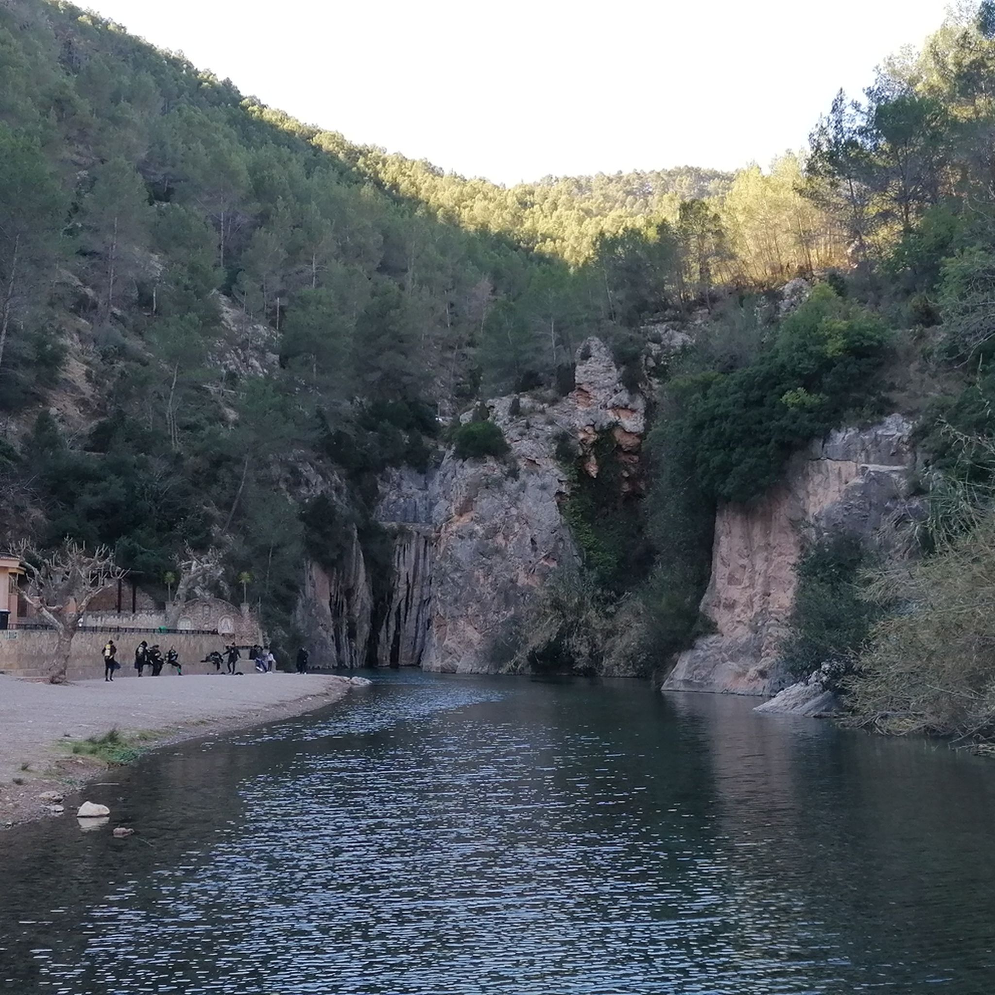
Hiking around Palancia
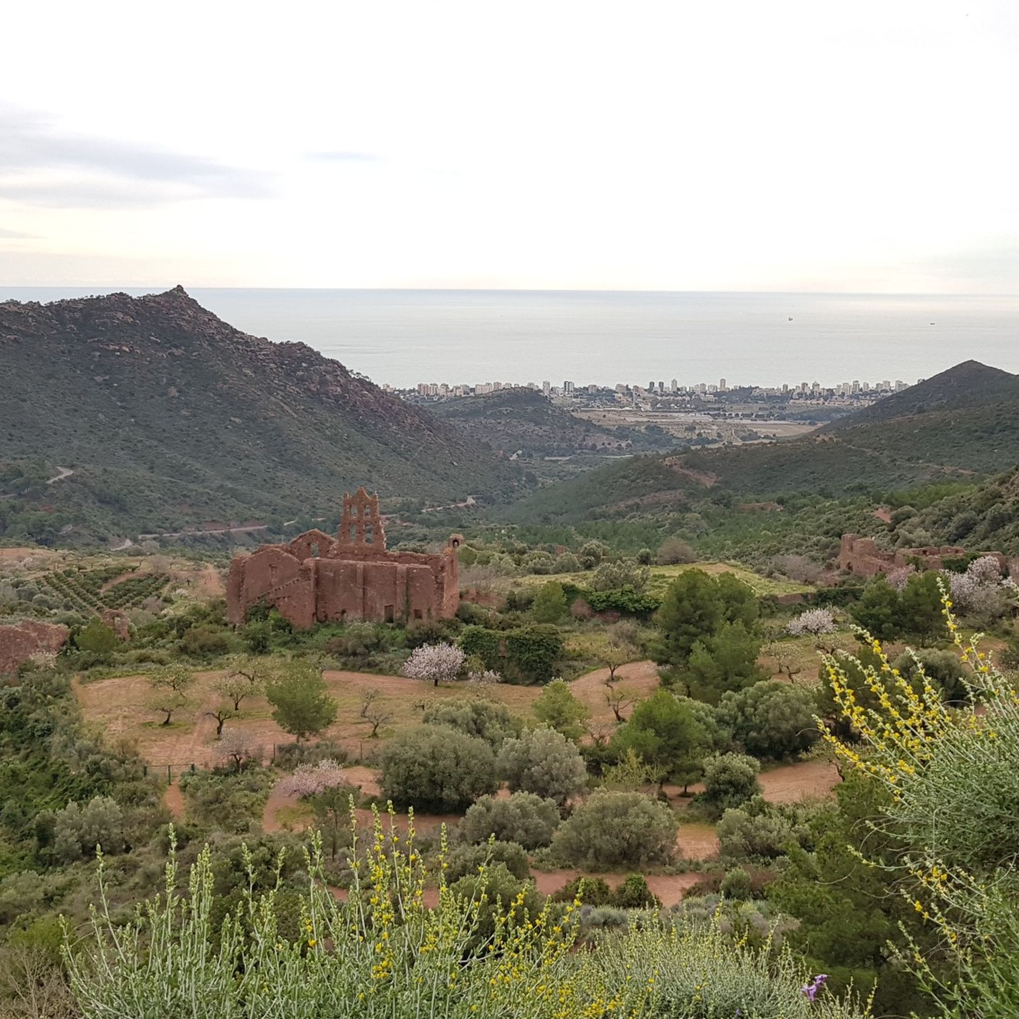
Hiking around La Plana
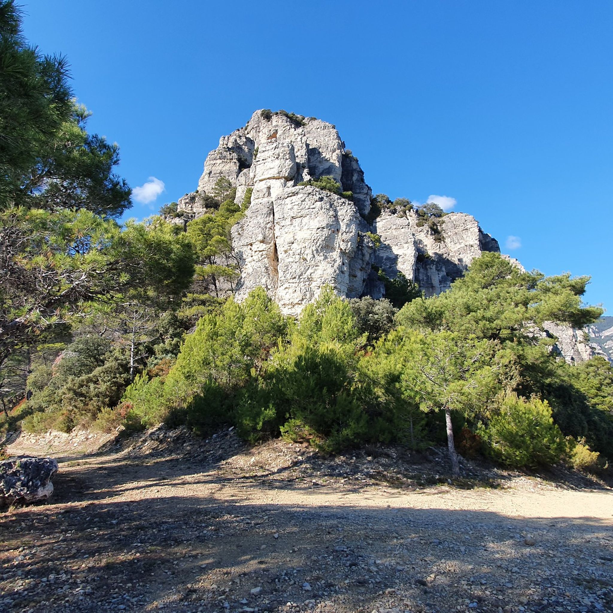
Hiking around els Ports
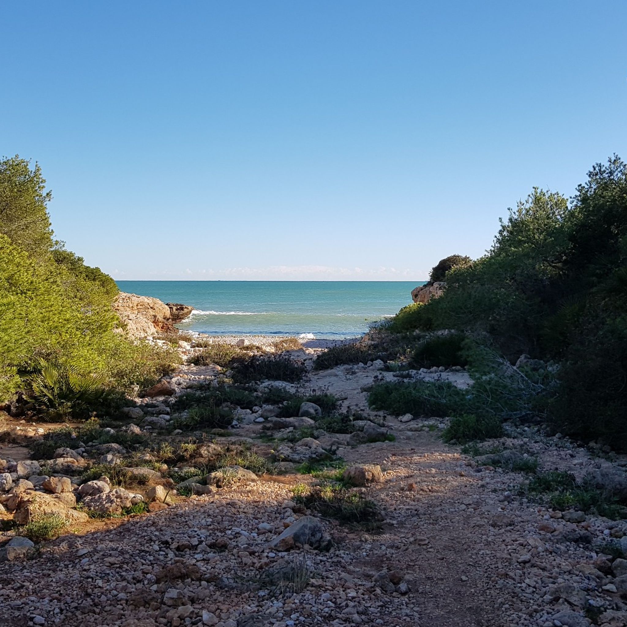
Hiking around Litoral Norte
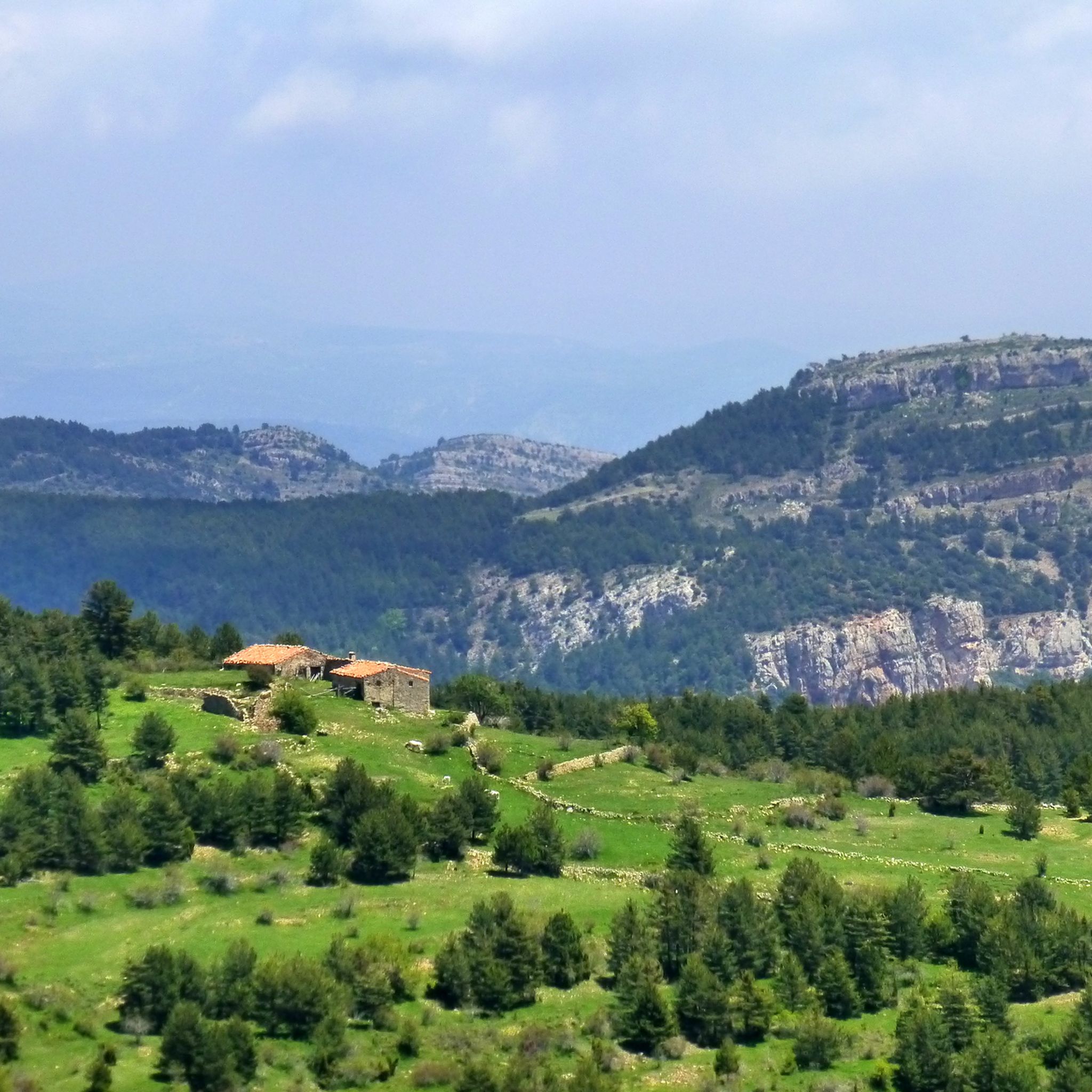
Hiking around Peñagolosa
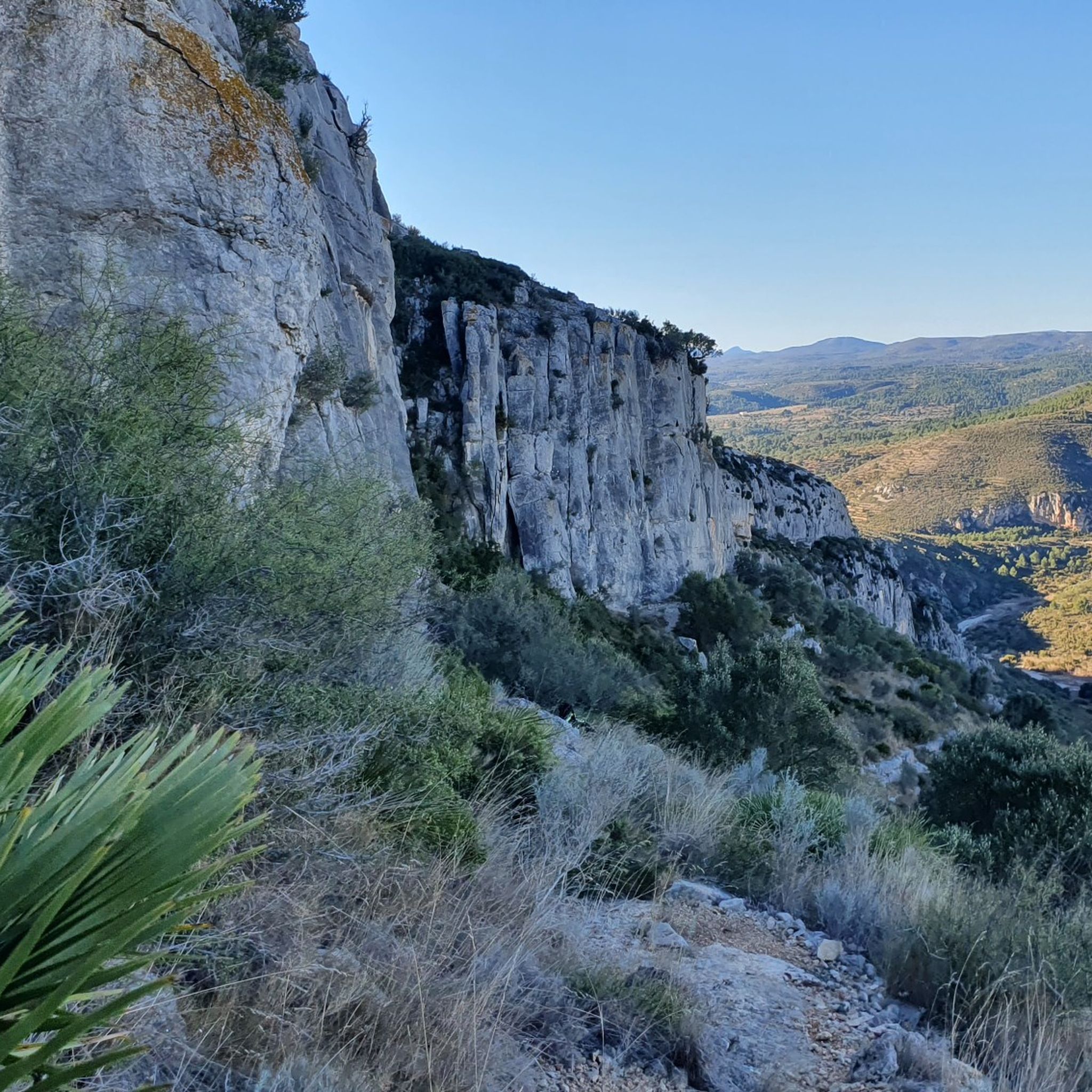
Hiking around Bajo Maestrazgo
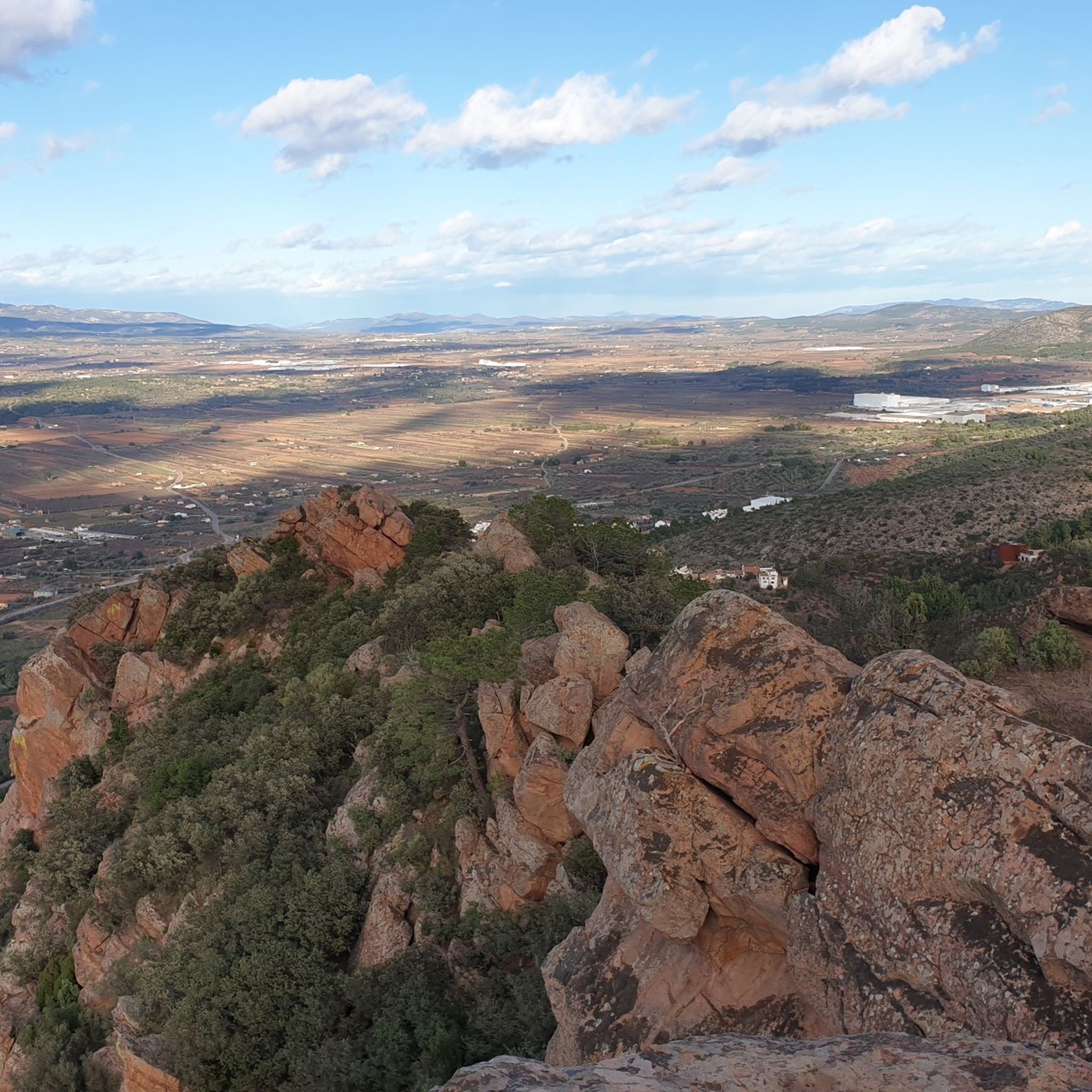
Hiking around Llanos Centrales
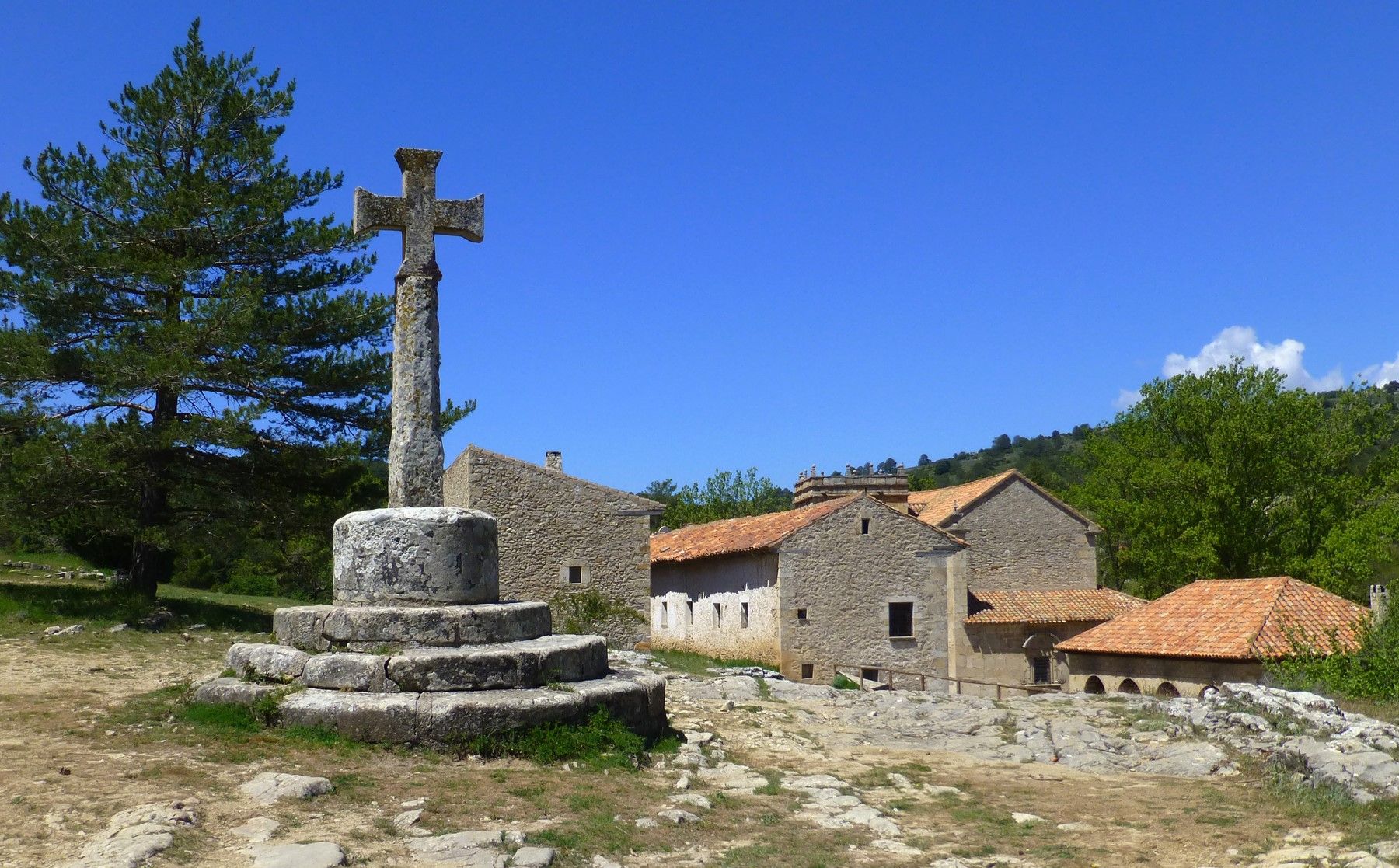
Between spiritual and earthly – Full Moon Trail (GR 33) in Spain
A land of contrasts – Tarragona to the Pyrenees on the GR 7
A journey full of discoveries – the Valencia region on foot (GR7)
Other adventures in Castellón


Tips from the Community

From the cave entrance, the views are impressive. The landscape opens up to a sea of pine trees that merges into the Mediterranean horizon, broken only by the reddish cliffs.
0
0

Privileged natural entrance, a must-visit
0
0

Such a beautiful hike! During summer times don't forget to get extra water with you, even if hiking close to a river
0
0

Beautiful small waterfall, accessible via stairs.
11
0
A place of great beauty where we can admire the spectacular 60-meter-high waterfall, which plunges its waters into a magnificent setting where the whimsical shapes created by erosion in the mountains and riverbed intertwine with the dominant greenery of nature. We can also enjoy the beautiful legend of the place...
11
1

Beautiful climb...definitely do it
0
0

The current state of the hermitage and the geodetic point is one of palpable deterioration to the naked eye. What a shame! The views to the east are spectacular.
0
1

Swimming in this river is a highly recommended and unique experience. During the summer months, there is a fee to enter (unless you stay overnight at a Montanejos accommodation). There is also a charge for parking in the roadside lot. Outside of peak season, both access and parking are free.
0
0
Frequently Asked Questions
How many hiking trails are available in Castellón?
Castellón offers a vast network of hiking trails, with nearly 1,900 routes recorded on komoot. These range from easy coastal strolls to challenging mountain ascents, catering to all experience levels.
What types of terrain can I expect when hiking in Castellón?
Castellón is known as 'the province of a thousand landscapes,' offering incredibly diverse terrain. You'll find everything from pristine Mediterranean coastlines and sandy beaches to rugged mountainous interiors with cork oak forests, deep ravines, and unique rock formations. Wetlands and riverine paths are also common, providing varied experiences.
Are there any family-friendly hiking trails in Castellón?
Yes, Castellón has many routes suitable for families. Easy trails with minimal elevation gain are available, particularly in areas like the Prat de Cabanes-Torreblanca Natural Park or coastal paths. For a tranquil experience along a river, consider the easy Los Estrechos Trail.
What are the best times of year to go hiking in Castellón?
The best times for hiking in Castellón are typically spring and autumn. During these seasons, the temperatures are mild and pleasant, and the natural landscapes are vibrant with colors. Summer can be very hot, especially in inland areas, while winter offers cooler, but often still suitable, conditions for hiking.
Are there any circular walking routes in Castellón?
Yes, Castellón features numerous circular routes. For example, the moderate Órganos de Benitandús Loop from Sueras takes you through distinctive rock formations. Another option is the challenging The Bojera Path (SL-CV 105) — Circular to the Cova Negra, offering a more demanding circular experience.
What natural features or landmarks can I see along the trails?
Castellón's trails are rich with natural and historical landmarks. You can explore the unique rock formations of the Órganos de Benitandús, discover hidden coves and ancient watchtowers in Sierra de Irta Natural Park, or visit the thermal pools of Fuente de los Baños near Montanejos. Coastal trails often feature stunning viewpoints like the Benicàssim Viewpoint, while riverine routes might lead to waterfalls like Salto de la Novia in Navajas. The Fuente de los Baños - Montanejos Lake is a popular spot.
Are there any trails that offer coastal views?
Absolutely. Castellón boasts beautiful coastal paths. The difficult Benicàssim - Oropesa Greenway of the Sea Trail offers continuous sea views along a former railway line. You can also find easy paths with views of Peñíscola's historic castle and coastal wetlands, such as the Peñíscola Marshland Trail.
Can I find trails with waterfalls or river features in Castellón?
Yes, several trails in Castellón feature impressive riverine landscapes and waterfalls. The area around Montanejos is famous for the Mijares Gorges and the thermal pools of Fuente de los Baños. Navajas is home to the Salto de la Novia (Bride's Jump) waterfall and the Cascada del Tío Juan, accessible via trails like the moderate Route of the Springs: Navajas to Segorbe.
What do other hikers enjoy most about hiking in Castellón?
The komoot community highly rates hiking in Castellón, with an average score of 4.5 stars from over 4,700 reviews. Hikers often praise the incredible diversity of landscapes, from the stunning coastal views to the rugged mountain scenery and tranquil river paths. The well-maintained trails and the opportunity to explore natural parks like Penyagolosa and Sierra de Espadán are frequently highlighted.
Are there challenging hikes for experienced trekkers?
Yes, Castellón offers several challenging routes. The Penyagolosa Natural Park, home to the second-highest peak in the Valencian Community, provides demanding trails through pine forests and rocky terrain with significant elevation gain. The Sierra de Espadán Natural Park also features ascents to peaks like Pico Espadán, offering extensive panoramic views. Examples include the difficult Portell de l'Infern - Ulldecona Reservoir Trail.
Are there any trails near reservoirs or lakes?
Yes, you can find trails that incorporate reservoirs and lakes. The moderate Ulldecona Reservoir and Moleta del Terme Loop is a great example, offering scenic views around the reservoir. The Fuente de los Baños - Montanejos Lake is also a popular destination with accessible trails.
Most popular routes in Castellón
Most popular attractions in Castellón

Get inspired with the komoot mobile app


Didn’t find what you were looking for?
Check out more Hikes throughout Castellón below and find the perfect route in your destination.
Explore more
Browse the best Hikes in other regions.
