The best walks and hikes around Embalse de Contreras
4.7
(74)
369
hikers
27
hikes
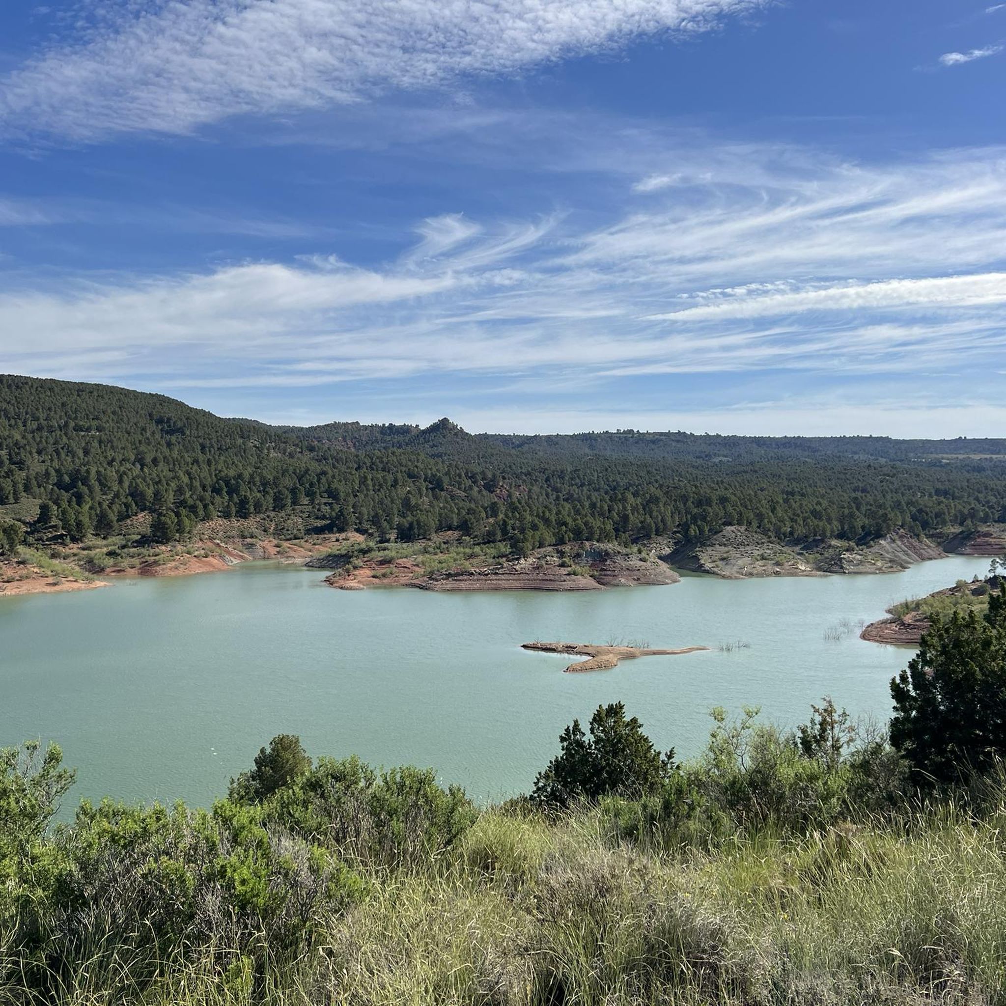
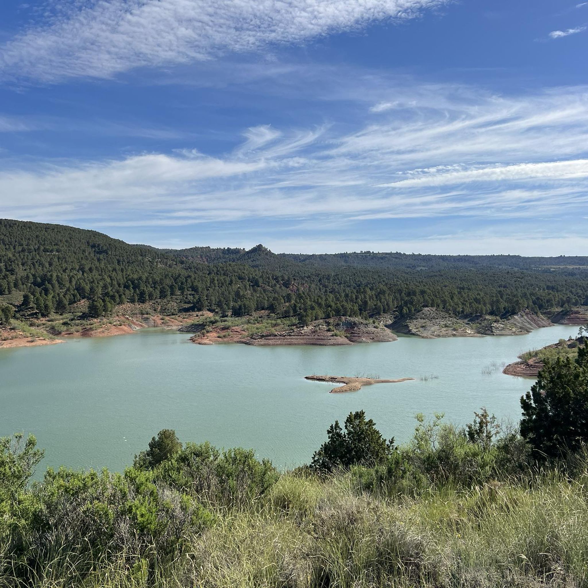
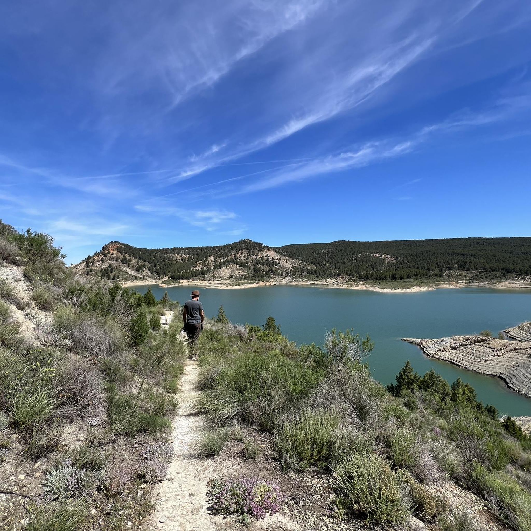
Hiking around Embalse de Contreras offers diverse landscapes situated between the provinces of Valencia and Cuenca, at the confluence of the Cabriel and Guadazaón rivers. The region is characterized by the expansive reservoir with its striking blue-green waters, rolling hills, and cultivated vineyards. Trails often traverse varied terrain, from paths along the reservoir's edge to routes within the dramatic geological formations of the nearby Hoces del Cabriel Natural Park. This area provides a rich ecosystem and panoramic viewpoints for outdoor exploration.
Best hiking trails around Embalse de Contreras
- The most popular hiking route is Kikopark Rural – View of the Reservoir loop from Caravaning, a 2.6 miles (4.2 km) trail that takes 1 hour 19 minutes to complete. This moderate route offers expansive views of the reservoir.
- Another top favourite among local hikers is Kikopark Rural – Villargordo del Cabriel loop from Caravaning, a moderate 6.0 miles (9.7 km) path. This trail leads through varied scenery including hills and agricultural areas, often completed in about 2 hours 48 minutes.
- Local hikers also love the Cabriel Valley Viewpoint – Contreras Inn loop from Casa de Postas s. XVI, a 5.9 miles (9.5 km) trail leading through the scenic Cabriel Valley, often completed in about 2 hours 43 minutes.
- Hiking around Embalse de Contreras is defined by striking water views, rolling hills, and river confluences. The network offers options for easy, moderate, and difficult routes, accommodating various skill levels.
- The routes in Embalse de Contreras are highly rated by the komoot community with an average score of 4.6 stars from more than 60 reviews. More than 300 hikers have used komoot to explore Embalse de Contreras's varied terrain.
Last updated: June 25, 2026
5.0
(3)
17
hikers
4.17km
01:19
70m
70m
Moderate hike. Great for any fitness level. Mostly accessible paths. Sure-footedness required.
4.5
(2)
9
hikers
9.73km
02:49
250m
250m
Moderate hike. Good fitness required. Easily-accessible paths. Suitable for all skill levels.

Sign up for free
4.3
(3)
9
hikers
7.64km
02:12
180m
180m
Moderate hike. Good fitness required. Easily-accessible paths. Suitable for all skill levels.
4.3
(3)
7
hikers
Easy hike. Great for any fitness level. Easily-accessible paths. Suitable for all skill levels.
3.5
(2)
7
hikers
Moderate hike. Good fitness required. Easily-accessible paths. Suitable for all skill levels.
Get access to more routes and recommendations from other explorers.
Sign up for free
Already have an account?
Our route recommendations are based on thousands of hikes, rides, and runs completed by other people on komoot.
Start today with a free account
Your next adventure awaits.
Login or Signup
Tips from the Community

Beautiful viewpoint of the dam, the river and the factory.
11
0
The Contreras dam (Embalse de Contreras) is a 129-meter-high arch dam built in 1972. Located on the border of the provinces of Cuenca (Castilla-La Mancha) and Valencia, the dam spans the Cabriel and Guadazaón rivers. The reservoir serves mainly for water supply, flood protection, and irrigation.
10
1
Some houses are still inhabited!!
0
0
Villargordo del Cabriel is a municipality in the Requena-Utiel region, in the province of Valencia. The town is located on the banks of the Cabriel River and is on the border between Castilla-La Mancha and the Valencia region. One of the biggest tourist attractions is the beautiful nature, which is remarkably well preserved.
14
0
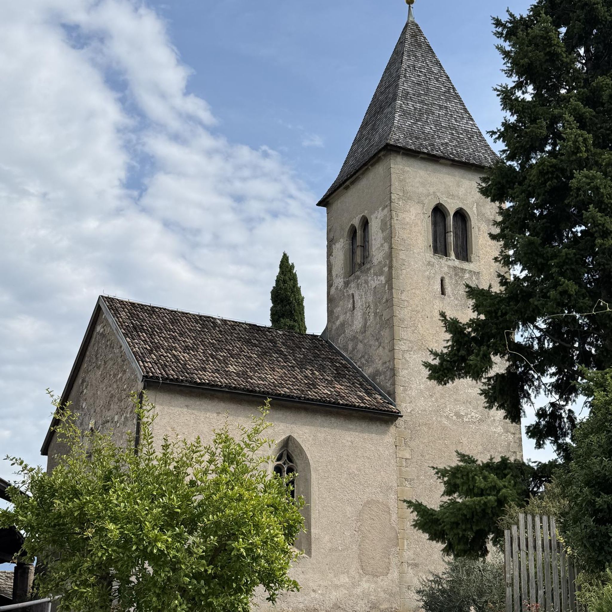
Small village in a beautiful setting, with a central square, a small shop and a huge church.
13
0
Beautiful campsite and starting point for hikes and bike tours.
15
0
beautiful viewpoint, a bench covered with reeds has now been placed there.
9
0

Viewpoint next to the old N-III highway After passing the engineer's house, a turnoff leads to the viewpoint located above the old N-III highway. Sweeping views of the reservoir from a high, accessible point.
4
0
Frequently Asked Questions
How many hiking trails are available around Embalse de Contreras?
There are over 25 hiking routes available around Embalse de Contreras, catering to various skill levels. You'll find a mix of easy, moderate, and difficult trails to explore the diverse landscapes.
Are there easy hiking trails suitable for beginners or families?
Yes, Embalse de Contreras offers several easy hiking trails perfect for beginners or families. For instance, the Los Cuchillos del Cabriel Trail is an easy route that allows you to enjoy the scenery without significant challenge.
Can I find circular hiking routes in Embalse de Contreras?
Absolutely. Many routes around Embalse de Contreras are designed as loops, allowing you to start and end at the same point. Examples include the Kikopark Rural – View of the Reservoir loop from Caravaning and the Cabriel Valley Viewpoint – Contreras Inn loop from Casa de Postas s. XVI.
What kind of terrain can I expect on hikes around Embalse de Contreras?
The terrain around Embalse de Contreras is quite varied. You can expect paths along the reservoir's edge, rolling hills, cultivated vineyards, and dramatic geological formations within the nearby Hoces del Cabriel Natural Park. Trails range from easily accessible to more rugged, offering diverse landscapes.
Are the hiking trails around Embalse de Contreras dog-friendly?
Many trails in natural areas like Embalse de Contreras are generally dog-friendly, especially if dogs are kept on a leash. It's always recommended to check specific trail regulations or local signage, particularly within the Hoces del Cabriel Natural Park, to ensure a pleasant experience for both you and your pet.
What are some notable viewpoints or natural features to look out for?
Hikers can enjoy striking water views of the expansive reservoir, especially from elevated paths. The confluence of the Cabriel and Guadazaón rivers, and the dramatic gorges within the Hoces del Cabriel Natural Park, are significant natural features. The Cabriel Valley Viewpoint is a specific highlight offering panoramic vistas.
Is there wildlife I might encounter while hiking?
Yes, the more untamed areas around Embalse de Contreras, particularly within the Hoces del Cabriel Natural Park, can offer opportunities to spot wildlife. Groups of mouflons are known to inhabit the region, adding an exciting element to your hike.
What is the best time of year to go hiking in Embalse de Contreras?
The region offers seasonal beauty, with certain times of the year being particularly appealing. Spring, when almond trees are in bloom, adds an extra layer of natural beauty. Autumn also provides pleasant temperatures and vibrant colors. Summers can be hot, so early morning or late afternoon hikes are advisable.
Are there options for parking near the trailheads?
While specific parking areas for every trailhead are not detailed, the presence of routes starting from locations like 'Caravaning' and 'Casa de Postas s. XVI' suggests that parking facilities are generally available in proximity to popular starting points for hikes around Embalse de Contreras.
What do other hikers say about their experience in Embalse de Contreras?
The hiking routes in Embalse de Contreras are highly rated by the komoot community, with an average score of 4.6 stars from over 60 reviews. Hikers often praise the striking water views, varied terrain, and the opportunities to explore both the reservoir's edge and the surrounding hills and vineyards.
Are there any longer or more challenging hikes for experienced hikers?
Yes, for experienced hikers seeking a challenge, there are more demanding routes available. The area offers difficult trails that might take over five hours to complete and involve significant elevation gain, such as the Four Rivers Trail, which covers over 20 km.
Can I combine hiking with other activities like swimming?
While the reservoir is a central feature, specific wild swimming spots are not explicitly detailed. However, the presence of the expansive reservoir naturally invites consideration for water-based activities. It's advisable to check local regulations regarding swimming in the Embalse de Contreras.
Are there any facilities or places to eat near the hiking trails?
The region around Embalse de Contreras, situated between Valencia and Cuenca, has local amenities. While specific cafes or pubs directly on every trailhead are not guaranteed, areas like Kikopark Rural and the Contreras Inn (mentioned in route names) suggest that facilities for refreshments and accommodation are available in the vicinity of popular hiking areas.
Most popular routes around Embalse de Contreras
Most popular attractions around Embalse de Contreras

Get inspired with the komoot mobile app


Explore more
Browse the best Hikes in other regions.
