The best walks and hikes around Encoro de Portodemouros
4.7
(723)
5,178
hikers
35
hikes
Hiking around Encoro de Portodemouros offers diverse landscapes shaped by the Ulla River basin and its reservoir. The terrain features a blend of serene waterscapes, lush oak groves (Carballeiras), and varied paths. Hikers can expect routes ranging from gentle riverside trails to more challenging ascents, providing different scenic views of the reservoir and surrounding woodlands.
Best hiking trails around Encoro de Portodemouros
- The most popular hiking route is Arzúa town sign – View Over the Valley loop from Arzúa,…
Last updated: July 1, 2026
62
hikers
4.99km
01:21
70m
70m
Easy hike. Great for any fitness level. Easily-accessible paths. Suitable for all skill levels.
5.0
(2)
5
hikers
6.26km
01:45
130m
130m
Easy hike. Great for any fitness level. Easily-accessible paths. Suitable for all skill levels.

Sign up for free
5.0
(2)
5
hikers
6.13km
01:43
130m
130m
Easy hike. Great for any fitness level. Easily-accessible paths. Suitable for all skill levels.
5.0
(1)
13
hikers
11.9km
03:20
250m
250m
Moderate hike. Good fitness required. Easily-accessible paths. Suitable for all skill levels.
3
hikers
11.4km
03:08
180m
180m
Moderate hike. Good fitness required. Easily-accessible paths. Suitable for all skill levels.
Get access to more routes and recommendations from other explorers.
Sign up for free
Already have an account?
Our route recommendations are based on thousands of hikes, rides, and runs completed by other people on komoot.
Start today with a free account
Your next adventure awaits.
Login or Signup
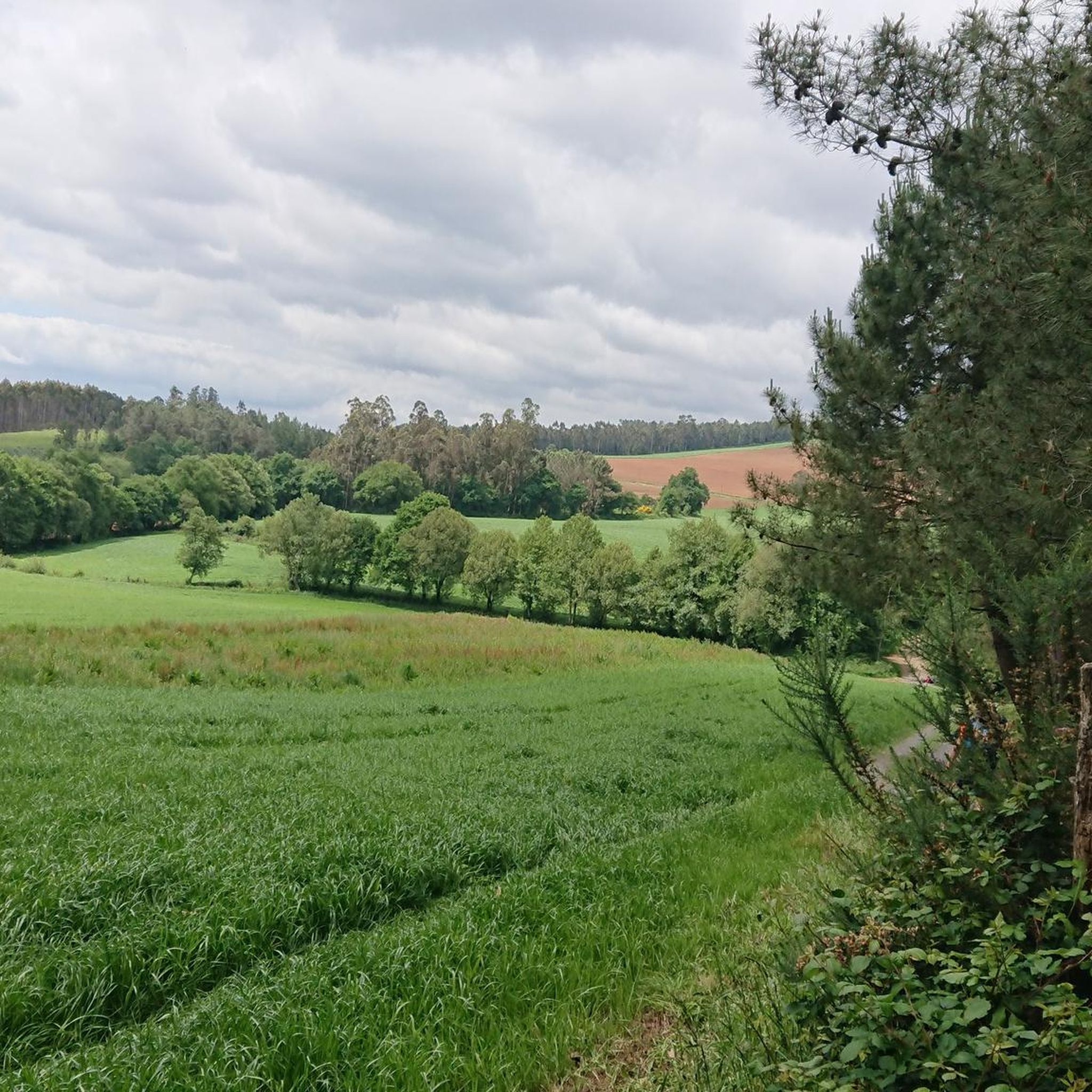
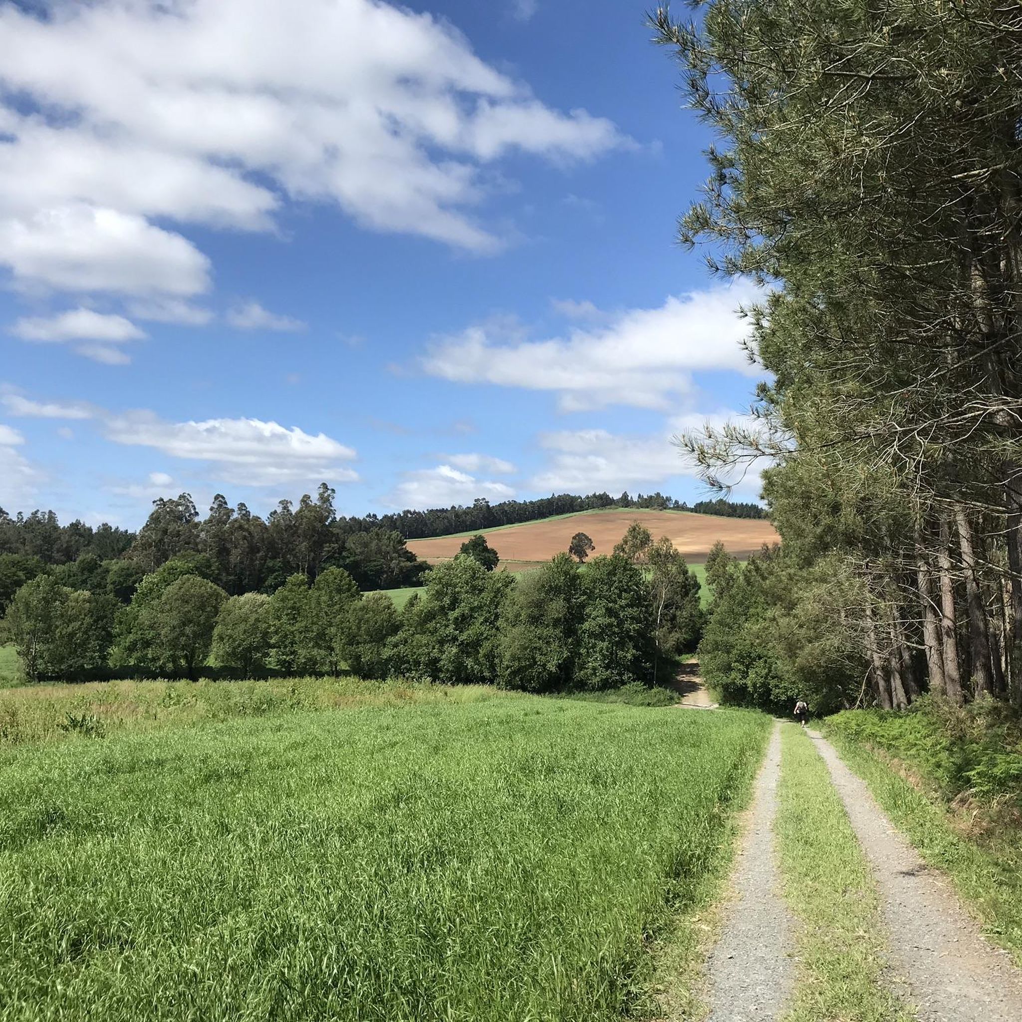
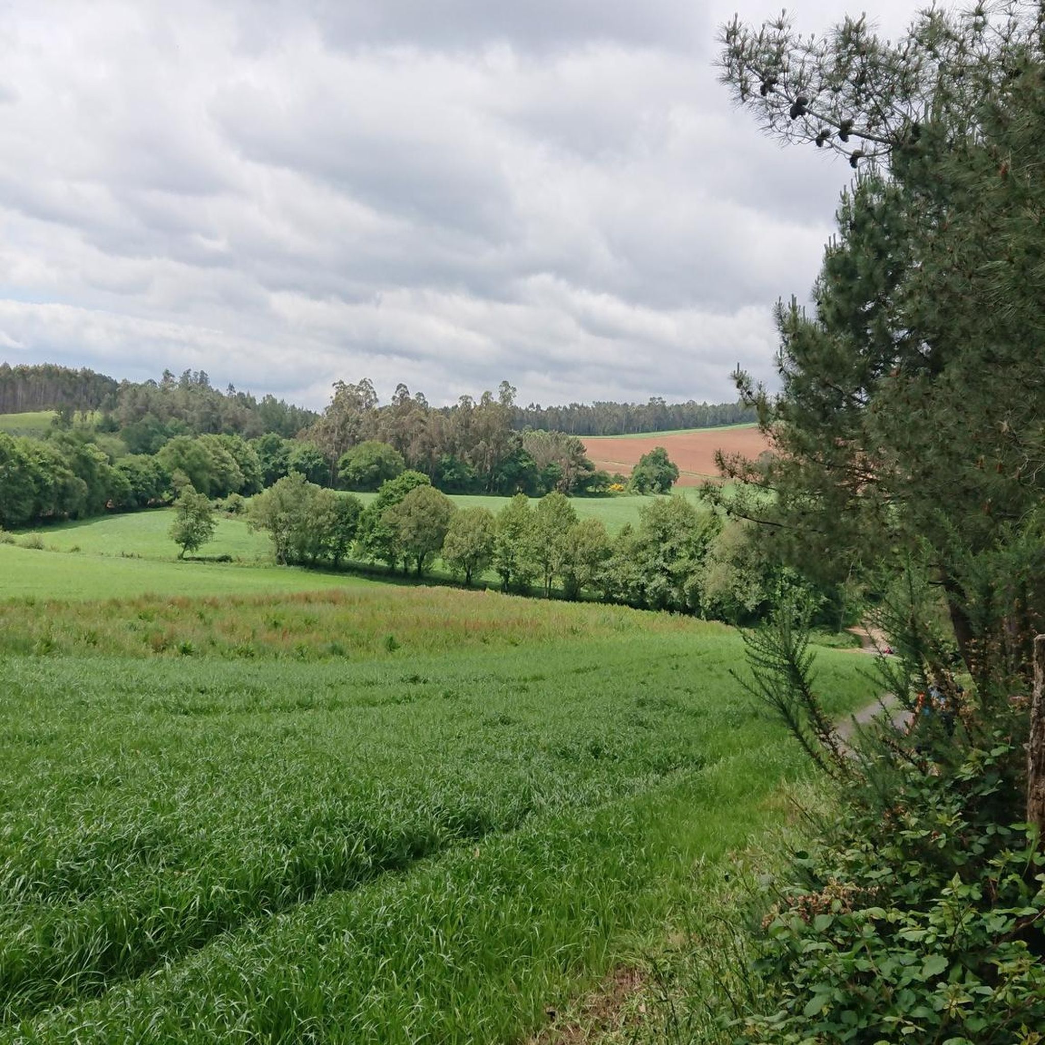
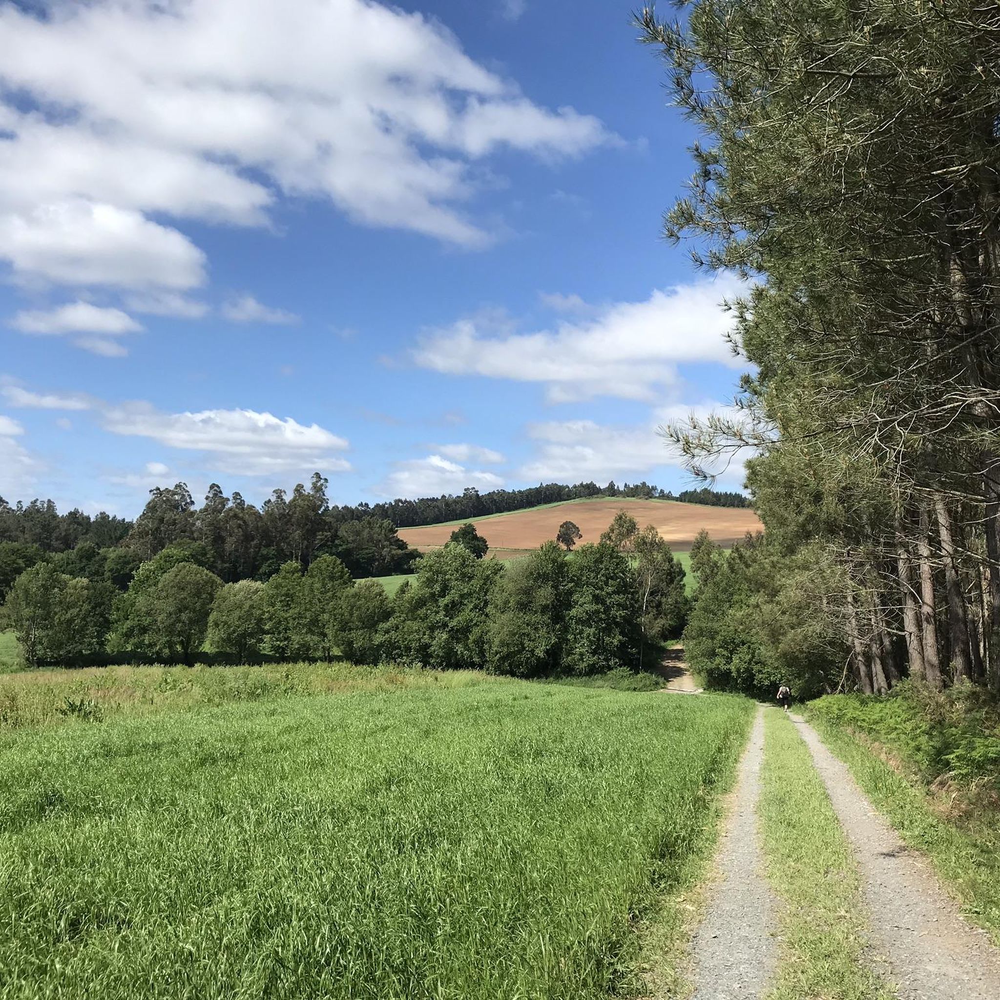
Tips from the Community

It is always a pleasure to cycle through Galicia, along the Camino del Norte
0
0

Beautiful sculpture 🤙
0
0

A very large complex with many buildings and bars.
0
1
Nice sign on the street. Hotspot for photos
0
0
There are still a few goals missing 😉
0
0
Very funny and also very nice to know how far you have to go to get home 😁
0
0

Fountain on the French Way near Arzúa
0
0
Town arriving at Santiago along the French Way. Famous for its cheeses
0
0
Frequently Asked Questions
What kind of terrain can I expect on hiking trails around Encoro de Portodemouros?
The terrain around Encoro de Portodemouros is quite varied, shaped by the Ulla River basin. You'll find serene waterscapes, lush oak groves (locally known as Carballeiras), and areas with pines and eucalyptus. Trails range from gentle riverside paths to more challenging ascents, offering diverse scenic views of the reservoir and surrounding woodlands.
Are there family-friendly hiking options in Encoro de Portodemouros?
Yes, Encoro de Portodemouros offers several easy routes suitable for families. For instance, the Arzúa town sign – View Over the Valley loop from Arzúa is an easy 5 km trail that takes about 1 hour 20 minutes to complete, providing pleasant views without significant difficulty.
Can I bring my dog on the hiking trails around Encoro de Portodemouros?
Most trails in natural areas like Encoro de Portodemouros are generally dog-friendly, but it's always recommended to keep your dog on a leash, especially in areas with wildlife or near livestock. Ensure you carry water for your pet and clean up after them.
What are some notable natural features or landmarks to look out for while hiking?
Hikers can enjoy the expansive waters of the Ulla River reservoir, picturesque oak groves, and the fresh scents of mint and herbs along the paths. A unique feature is the free "Azulón Primero" ferry, which crosses the reservoir between Beigondo and Loño, offering a scenic break and a glimpse into the area's history. During dry periods, you might even spot ruins of old submerged villages.
How many hiking routes are available in the Encoro de Portodemouros area?
There are over 35 hiking routes available around Encoro de Portodemouros, catering to various skill levels. This includes 20 easy routes, 15 moderate routes, and 3 more difficult trails for experienced hikers.
Are there any circular hiking routes in Encoro de Portodemouros?
Yes, many of the routes around Encoro de Portodemouros are circular, allowing you to start and end at the same point. An example is the View Over the Valley – Arzúa town sign loop from Arzúa, which is a 6.3 km easy trail offering varied local scenery.
What do other hikers say about the trails in Encoro de Portodemouros?
The routes in Encoro de Portodemouros are highly rated by the komoot community, with an average score of 4.6 stars from over 600 reviews. Hikers often praise the diverse landscapes, the tranquility of the oak groves, and the variety of trails suitable for different abilities.
What is the best time of year to go hiking in Encoro de Portodemouros?
The area is enjoyable for hiking throughout much of the year. Spring and autumn offer pleasant temperatures and vibrant natural colors. Summer can be warm, but the oak groves provide welcome shade. Winter hiking is also possible, though some paths might be muddier.
Are there any historical sites or cultural attractions near the hiking trails?
Beyond the historical context of the reservoir itself (with submerged villages), the general vicinity offers cultural attractions. For example, the "Enredo do Abelleiro" is a thematic museum dedicated to honey and beekeeping. The area is also near the Camino de Santiago, which means you might encounter historical chapels and old mills.
What are the options for parking and public transport when visiting Encoro de Portodemouros for hiking?
While specific parking areas for each trailhead vary, you can typically find parking in the nearby towns like Arzúa or Vila de Cruces, which serve as common starting points for many routes. Public transport options to these towns are available, but access directly to some remote trailheads might require a car.
Are there any longer, more challenging hikes in the region?
Yes, for those seeking a greater challenge, there are more difficult routes. The Ribadiso Medieval Bridge – Eucalyptus Forest loop from Arzúa is a difficult 22.1 km path that explores the area around the Ribadiso Medieval Bridge and through extensive eucalyptus forests, requiring a full day to complete.
Can I combine hiking with other outdoor activities at Encoro de Portodemouros?
Absolutely. The reservoir is not only great for hiking but also an ideal location for various water sports such as sailing, canoeing, and kayaking. There are also cycling routes available, making it a versatile outdoor activity hub.
Most popular routes around Encoro de Portodemouros

Get inspired with the komoot mobile app


Explore more
Browse the best Hikes in other regions.
