The best road cycling routes around Embalse de Arlanzón
4.7
(3)
173
riders
9
rides
Road cycling around Embalse de Arlanzón offers routes through diverse landscapes in the eastern part of Burgos province. The region is characterized by the central reservoir, which provides expansive views, and the surrounding mountains of the Sierra de la Demanda. Cyclists can experience varied terrain, including sections of the Sierra de la Demanda Greenway, which follows an old mining train route, and paths alongside the Arlanzón river basin. The area's natural features include wooded sections and open vistas, with elevations…
Last updated: July 12, 2026
13
riders
139km
06:57
2,260m
2,260m
Hard road ride. Very good fitness required. Mostly well-paved surfaces and easy to ride.
4.0
(1)
16
riders
66.1km
03:02
800m
800m
Moderate road ride. Good fitness required. Mostly well-paved surfaces and easy to ride.

Sign up for free
5.0
(1)
31
riders
116km
05:27
1,490m
1,500m
Hard road ride. Very good fitness required. Mostly well-paved surfaces and easy to ride.
24
riders
43.6km
02:05
480m
480m
Moderate road ride. Good fitness required. Some segments of this route may be unpaved and difficult to ride.
19
riders
66.6km
03:25
1,080m
1,080m
Hard road ride. Very good fitness required. Mostly well-paved surfaces and easy to ride.
Get access to more routes and recommendations from other explorers.
Sign up for free
Already have an account?
Our route recommendations are based on thousands of hikes, rides, and runs completed by other people on komoot.
Start today with a free account
Your next adventure awaits.
Login or Signup
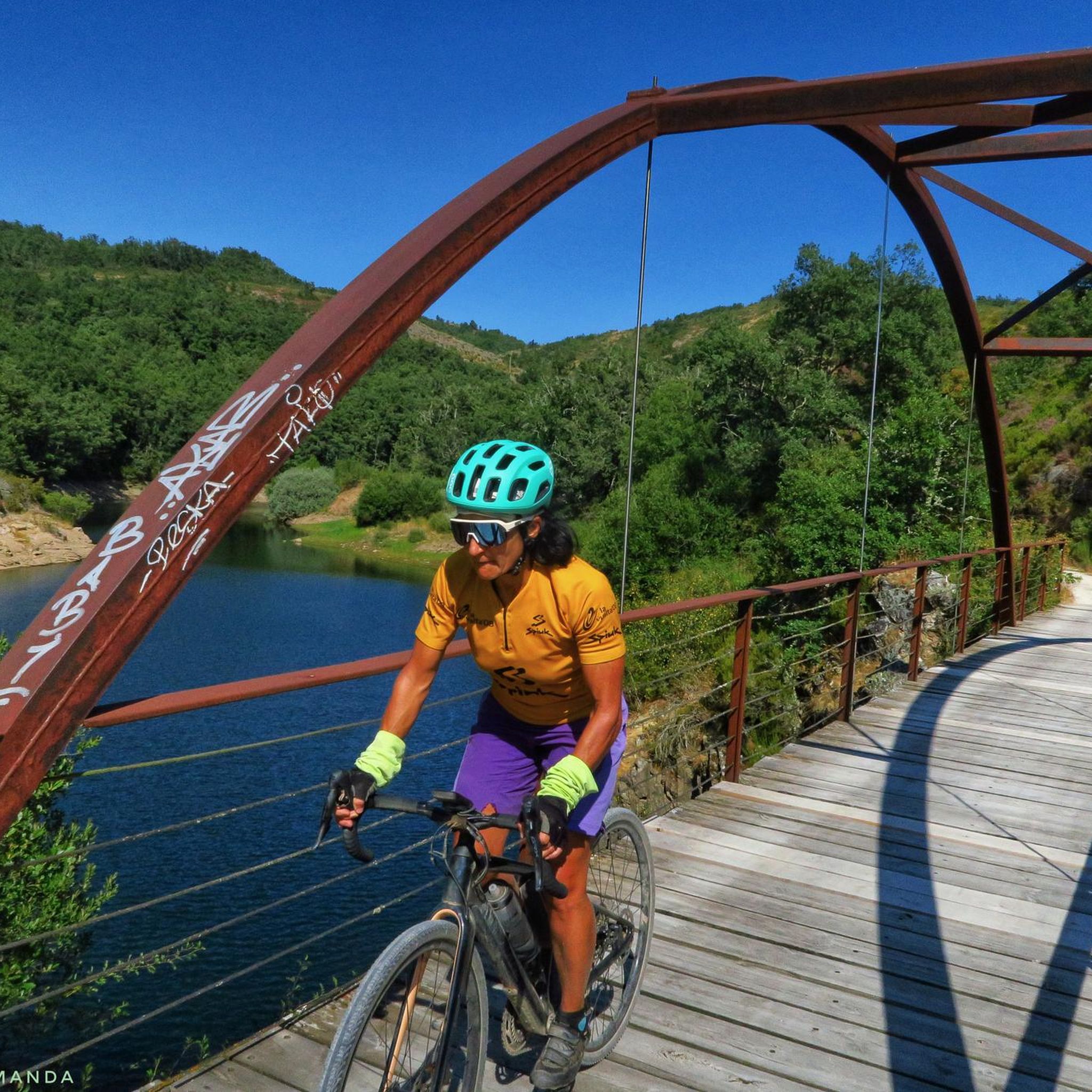
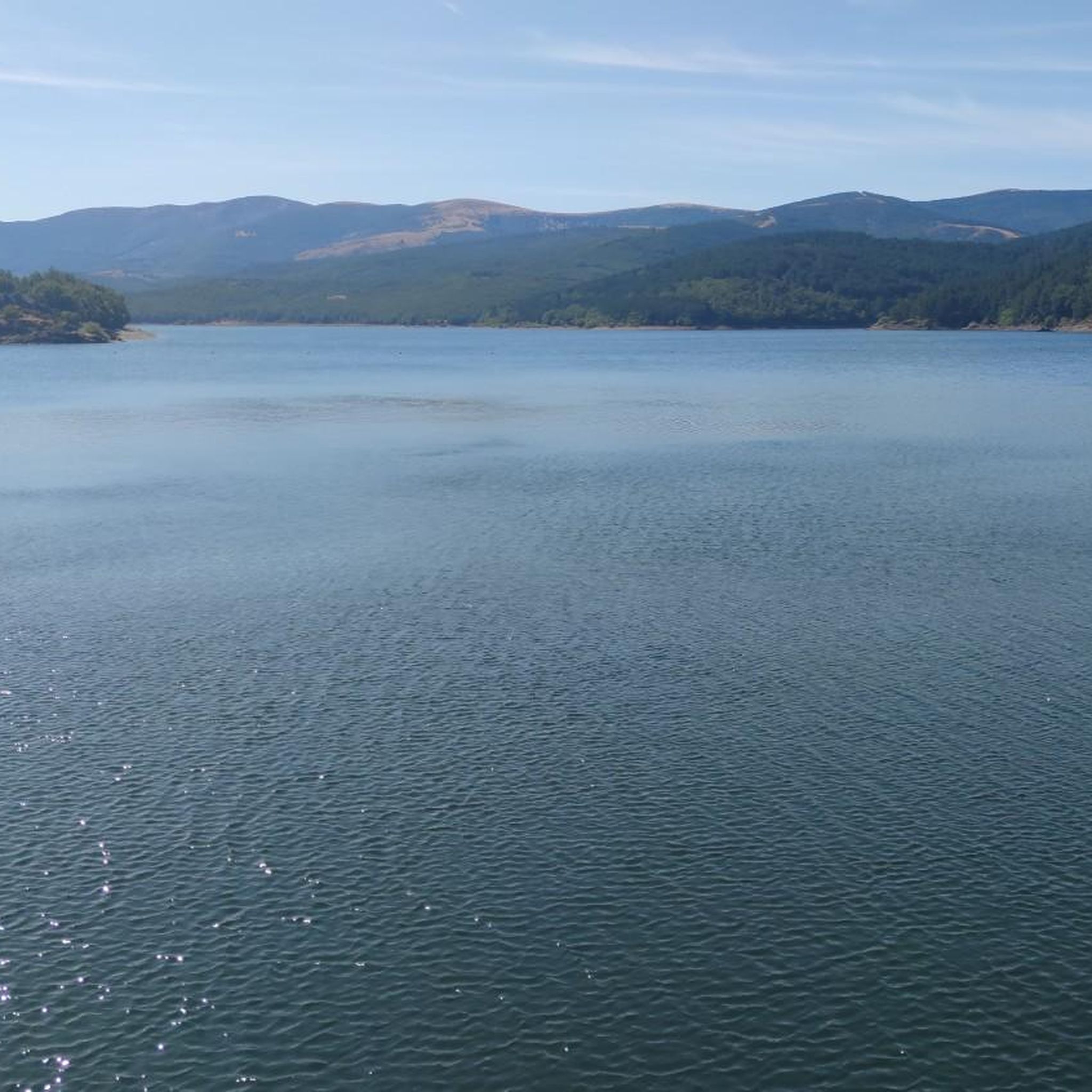
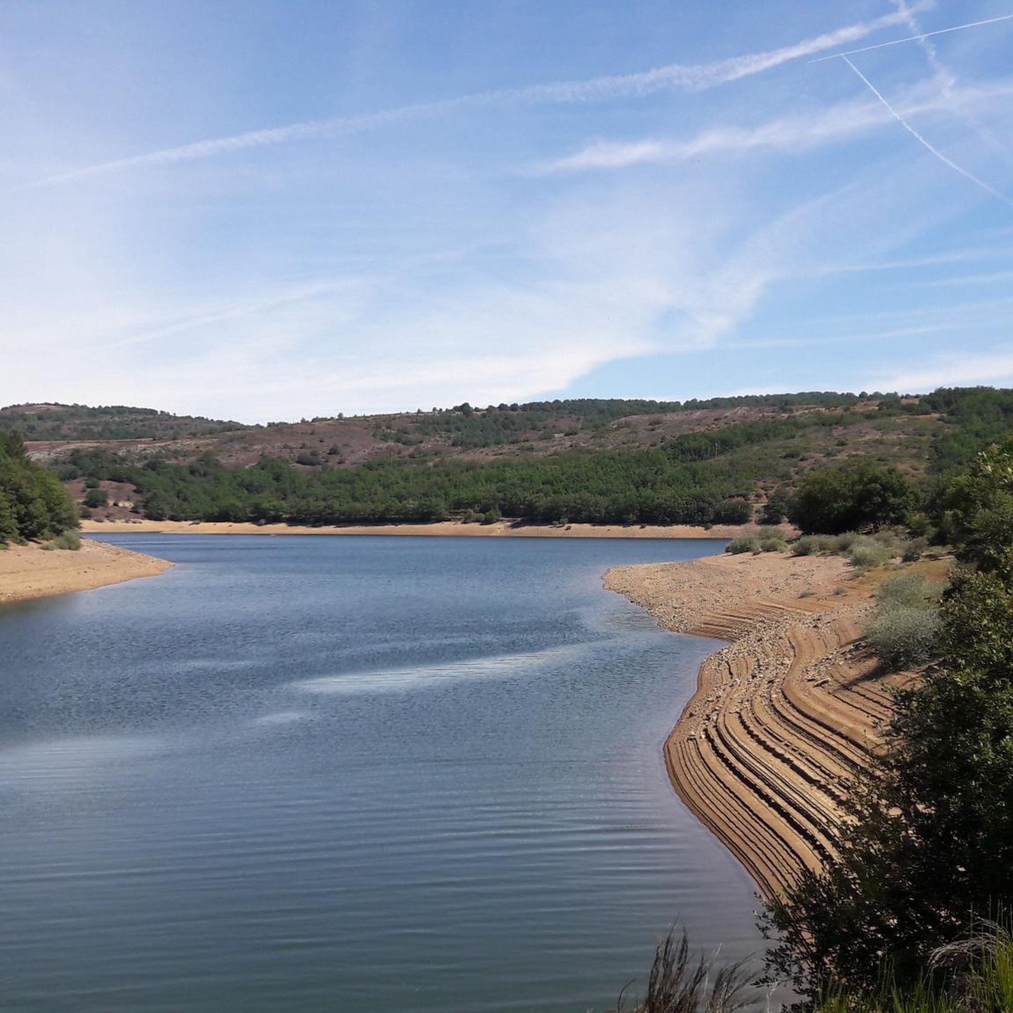
Tips from the Community

beautiful climb via the greenway or the road
0
0

Spectacular area for hiking routes
0
0

There is always the solution to difficult points: doing them by road.
0
0

There are many routes, both easy and difficult, to choose from. The Sierra is very beautiful, especially in autumn.
0
0

A comfortable mountain pass that connects the provinces of Burgos and La Rioja. Both sides have beautiful views, and it is worth climbing both.
0
0

The railway crossed this port through a tunnel. When making the greenway, the original route was not recovered, so the arrival and departure of the port are two very steep slopes. Most panniers make them by pushing the bike.
1
0
Completely paved in 2024. Perfect road surface.
0
0

Small mountain village. Picturesque. There is a nice café here for a break. There aren't really many cafes here. So you should stop by.
2
0
Frequently Asked Questions
How many road cycling routes are available around Embalse de Arlanzón?
There are 8 dedicated road cycling routes around Embalse de Arlanzón, offering diverse experiences for cyclists.
What kind of terrain can I expect when road cycling in Embalse de Arlanzón?
The region features varied terrain, including sections of the Sierra de la Demanda Greenway, which follows an old mining train route, and paths alongside the Arlanzón river basin. You'll encounter wooded sections and open vistas, with elevations suitable for road cycling, often with the reservoir or mountains as a backdrop.
What are the difficulty levels of road cycling routes in Embalse de Arlanzón?
The routes around Embalse de Arlanzón cater to different skill levels. There are 3 moderate routes and 5 difficult routes, ensuring options for both experienced cyclists and those looking for a challenge. There are no easy routes specifically for road cycling in this area.
Are there any circular road cycling routes around Embalse de Arlanzón?
Yes, many routes are designed as loops. For example, the popular Pineda de la Sierra – Puerto del Manquillo loop from Pineda de la Sierra is a moderate 51.2 km circular route. Another option is the challenging Viewpoint - Úzquiza Reservoir – Alto de Pradilla loop from Villasur de Herreros.
What scenic viewpoints or landmarks can I expect to see along the road cycling routes?
Cyclists can enjoy stunning views over the Arlanzón reservoir, which is a central attraction. The Beautiful views over the Arlanzón reservoir are a highlight. You'll also ride alongside sections of the Sierra de la Demanda Greenway: Arlanzón to Pineda, offering shaded paths and riverside forests.
Are there any historical or cultural sites near the cycling routes?
Yes, the Embalse de Arlanzón area is located near the significant archaeological site of Atapuerca, recognized as one of Spain's most important. This offers an opportunity to combine natural exploration with cultural enrichment.
Is parking available for cyclists at Embalse de Arlanzón?
While specific parking areas for cyclists are not detailed, the region is generally accessible by car. Cyclists often start their routes from towns like Pineda de la Sierra or Valle del Sol, where local parking options may be available.
What do other road cyclists enjoy the most about road cycling in Embalse de Arlanzón?
The area is highly rated by the komoot community, with an average score of 4.7 stars from over 3 reviews. Reviewers often praise the scenic reservoir views, mountain backdrops, and the varied terrain that includes sections of the Sierra de la Demanda Greenway.
Are there any long-distance road cycling routes in the area?
For those seeking longer rides, the Road before Tosantos – Retorto River Valley loop from Valle del Sol is a challenging 115.9 km trail that takes approximately 5 hours and 27 minutes to complete, leading through the Retorto River Valley.
What is the best time of year for road cycling around Embalse de Arlanzón?
The Arlanzón river basin, which feeds the reservoir, benefits significantly from snowmelt from the Sierra de la Demanda. This suggests that spring and early summer, after the snowmelt, would offer lush landscapes and pleasant conditions. Autumn would also provide beautiful scenery with changing foliage.
Can I find cafes or restaurants along the road cycling routes?
While specific cafes are not listed, routes often pass through or near charming towns such as Pineda de la Sierra. These towns are good places to find local establishments for refreshments and meals.
Are there any particularly challenging road cycling routes for experienced riders?
Yes, there are several challenging routes. The Puerto del Manquillo – Canales de la Sierra loop from Valle del Sol is a difficult 71.8 km route with significant elevation gain, ideal for experienced cyclists looking for a demanding ride.
Most popular attractions around Embalse de Arlanzón

Get inspired with the komoot mobile app


Explore more
Browse the best Road cycling routes in other regions.
