The best road cycling routes around Embalse de Úzquiza
4.7
(9)
825
riders
6
rides
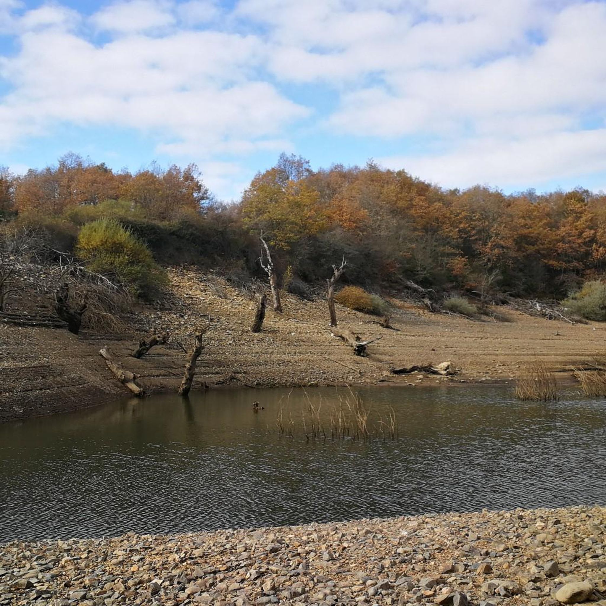
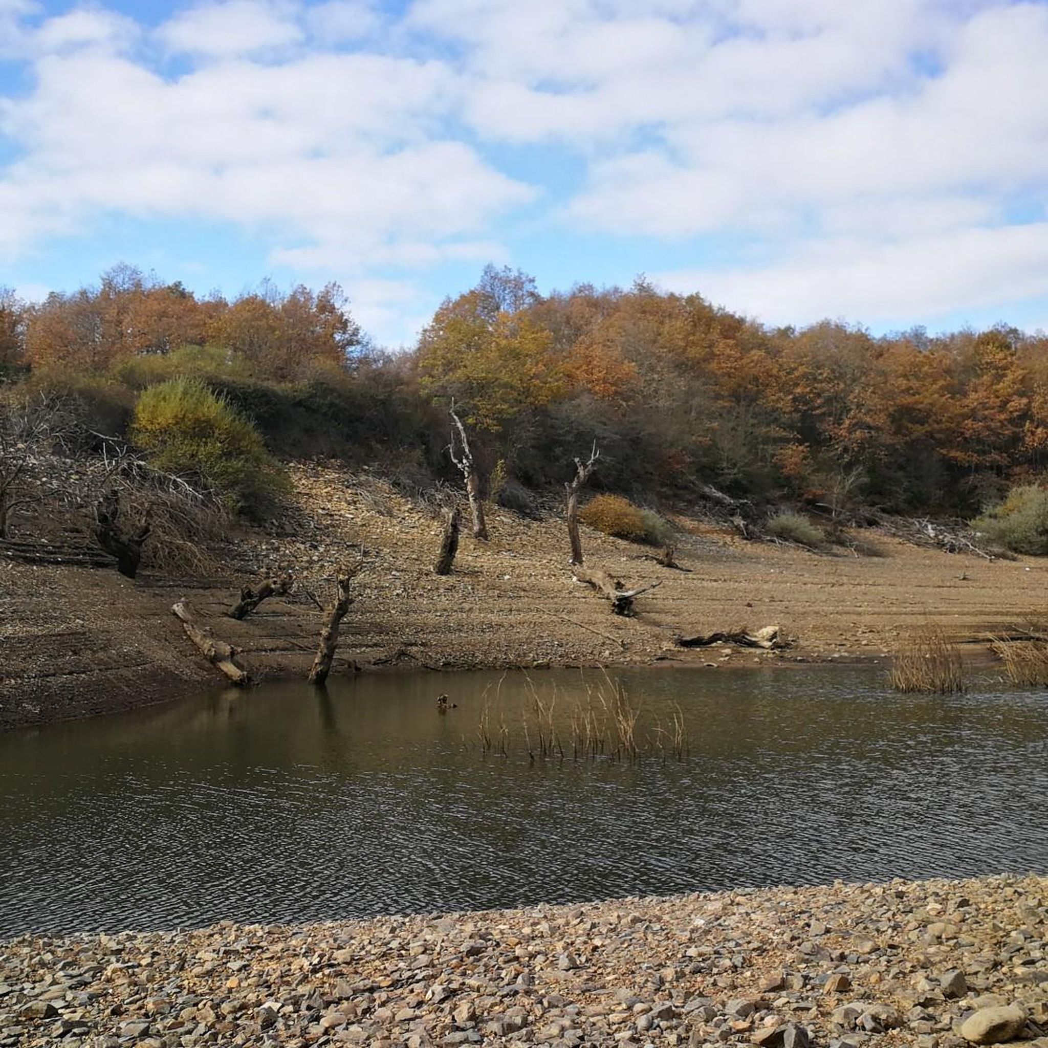
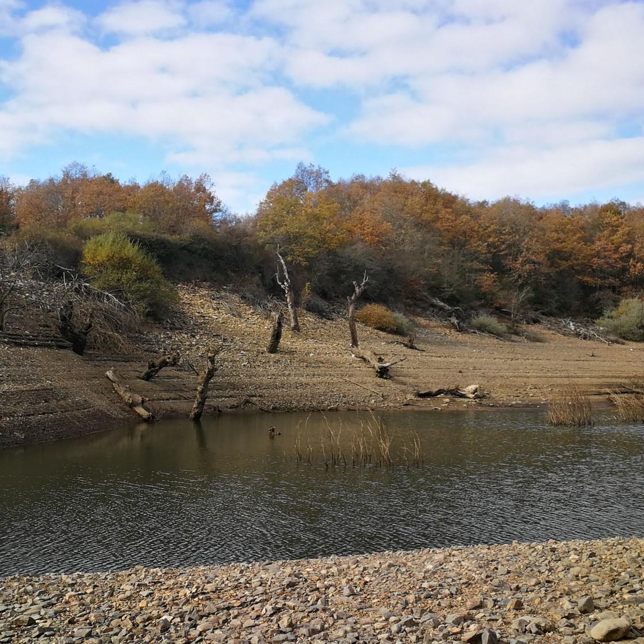
Road cycling around Embalse de Úzquiza offers routes through a landscape characterized by the reservoir itself and the surrounding Sierra de la Demanda mountain range. The terrain includes ascents and descents typical of mountainous regions, providing varied challenges for road cyclists. Routes often feature views of the reservoir and pass through areas with natural scenery.
Best road cycling routes around Embalse de Úzquiza
- The most popular road cycling route is Alto de Valmala - Sierra de la Demanda Loop,…
Last updated: July 7, 2026
4.0
(1)
16
riders
66.1km
03:02
800m
800m
Moderate road ride. Good fitness required. Mostly well-paved surfaces and easy to ride.
24
riders
43.6km
02:05
480m
480m
Moderate road ride. Good fitness required. Some segments of this route may be unpaved and difficult to ride.

Sign up for free
19
riders
66.6km
03:25
1,080m
1,080m
Hard road ride. Very good fitness required. Mostly well-paved surfaces and easy to ride.
13
riders
139km
06:57
2,260m
2,260m
Hard road ride. Very good fitness required. Mostly well-paved surfaces and easy to ride.
5.0
(1)
51
riders
73.6km
03:51
1,300m
1,300m
Hard road ride. Very good fitness required. Mostly well-paved surfaces and easy to ride.
Our route recommendations are based on thousands of hikes, rides, and runs completed by other people on komoot.
Start today with a free account
Your next adventure awaits.
Login or Signup

Tips from the Community

beautiful climb via the greenway or the road
0
0

Spectacular area for hiking routes
0
0

Fresneda de la Sierra Tirón is a small town in Burgos, located in the heart of the Sierra de la Demanda, very close to La Rioja. It is an attractive destination for hikers due to its mountainous surroundings and the proximity of places like Pozo Negro, a turquoise glacial lagoon in the shadow of Otero Peak. The town preserves historical remains and traditions, with the Church of the Assumption and hermitages as points of interest. From here, trails depart to peaks such as Otero, Cabeza Aguílez, and Torocuervo, ideal for enjoying panoramic views and beech and oak forests.
1
0

There is always the solution to difficult points: doing them by road.
0
0

There are many routes, both easy and difficult, to choose from. The Sierra is very beautiful, especially in autumn.
0
0

The perfect stop to replenish your energy after a bike ride (or walking, or skiing...) around Ezcaray
0
0
Romanesque church dating back to the 12th century on the outskirts of Valgañón, a town in the Sierra de la Demanda near Ezcaray. A great stop to get water on the way up to the top of Pradilla.
0
0
A comfortable mountain pass that connects the provinces of Burgos and La Rioja. Both sides have beautiful views, and it is worth climbing both.
0
0
Frequently Asked Questions
What kind of terrain can I expect on road cycling routes around Embalse de Úzquiza?
The region around Embalse de Úzquiza, nestled within the Sierra de la Demanda mountain range, features a varied terrain. Cyclists can expect a mix of ascents and descents, typical of mountainous areas, with routes often offering views of the reservoir and passing through natural scenery.
Are there road cycling routes suitable for beginners in Embalse de Úzquiza?
While the area is known for its moderate to difficult routes, such as the Alto de Valmala - Sierra de la Demanda Loop, which is rated moderate, there are no routes explicitly categorized as 'easy' in the provided data. Cyclists should be prepared for some elevation gain and challenging sections.
What are some challenging road cycling routes in the Embalse de Úzquiza area?
For experienced cyclists seeking a challenge, routes like the Viewpoint - Úzquiza Reservoir – Alto de Pradilla loop from Villasur de Herreros and the Alarcia – Alto de Pradilla loop from Rábanos are rated as difficult. These routes feature significant elevation gains and cover distances of over 40 miles.
Are there any circular road cycling routes around Embalse de Úzquiza?
Yes, many of the routes in the area are designed as loops, allowing you to start and finish in the same location. Examples include the Alto de Valmala - Sierra de la Demanda Loop and the Pineda de la Sierra – Puerto del Manquillo loop from Pineda de la Sierra.
What is the typical distance and duration for road cycling routes here?
The road cycling routes around Embalse de Úzquiza typically range from approximately 27 miles (44 km) to 45 miles (72 km) in length. Completion times vary depending on the route's difficulty and your pace, generally taking between 2.5 to 4 hours.
What is the best time of year for road cycling in Embalse de Úzquiza?
Given its location in a mountainous region, spring and autumn generally offer the most pleasant conditions for road cycling around Embalse de Úzquiza, with milder temperatures. Summer can be warm, while winter may bring colder temperatures and potential for snow at higher elevations, especially in the Sierra de la Demanda.
Are there any notable viewpoints or scenic spots along the road cycling routes?
Many routes offer scenic views, particularly of the Embalse de Úzquiza reservoir itself. The Viewpoint - Úzquiza Reservoir – Alto de Pradilla loop from Villasur de Herreros explicitly highlights a viewpoint, suggesting excellent panoramic opportunities along its course.
What do other road cyclists say about the routes in Embalse de Úzquiza?
The road cycling routes in Embalse de Úzquiza are highly rated by the komoot community, with an average score of 4.7 stars from over 8 reviews. Cyclists often praise the varied terrain, the challenging ascents, and the beautiful reservoir and mountain views.
Are there any historical or cultural attractions accessible by road bike?
Yes, one route, the Atapuerca Archaeological Site – Arlanzón loop from El Peñedo, passes by the renowned Atapuerca Archaeological Site. This offers a unique opportunity to combine road cycling with a visit to a significant historical landmark.
What should I consider regarding parking when planning a road cycling trip here?
While specific parking locations are not detailed for each route, many routes start from villages or towns such as Villasur de Herreros, Rábanos, or Pineda de la Sierra. It is advisable to check local parking availability in these starting points before your ride.
How many road cycling routes are available in the Embalse de Úzquiza area?
There are 5 distinct road cycling routes detailed for the Embalse de Úzquiza area, offering a range of moderate to difficult challenges for cyclists.
What kind of elevation gain can I expect on these routes?
The routes around Embalse de Úzquiza feature significant elevation gains, reflecting the mountainous terrain. For example, the Alarcia – Alto de Pradilla loop from Rábanos includes over 1300 meters (4265 feet) of ascent, while the Viewpoint - Úzquiza Reservoir – Alto de Pradilla loop from Villasur de Herreros has over 1000 meters (3280 feet) of climbing.
Most popular routes around Embalse de Úzquiza

Get inspired with the komoot mobile app


Explore more
Browse the best Road cycling routes in other regions.
