The best walks and hikes around Cadempino
4.6
(4371)
29,780
hikers
565
hikes
Hiking around Cadempino, located in Switzerland's Ticino canton, offers access to a varied landscape. The region is characterized by significant forested and agricultural lands, providing diverse backdrops for outdoor exploration. Hikers can find trails leading through picturesque villages, alongside Lake Lugano, and towards prominent hills such as Monte San Salvatore. The terrain includes gentle paths through woods and pastures, as well as more ascents towards higher viewpoints.
Best hiking trails around Cadempino
- The most popular hiking route is Lamone Historic…
Last updated: July 1, 2026
4.8
(9)
37
hikers
Easy hike. Great for any fitness level. Easily-accessible paths. Suitable for all skill levels.
5.0
(1)
9
hikers
10.7km
03:17
360m
360m
Moderate hike. Good fitness required. Mostly accessible paths. Sure-footedness required.

Sign up for free
5.0
(2)
11
hikers
6.52km
02:07
270m
270m
Moderate hike. Good fitness required. Mostly accessible paths. Sure-footedness required.
4.3
(3)
21
hikers
Easy hike. Great for any fitness level. Easily-accessible paths. Suitable for all skill levels.
4.0
(1)
17
hikers
10.4km
02:46
110m
110m
Moderate hike. Good fitness required. Easily-accessible paths. Suitable for all skill levels.
Get access to more routes and recommendations from other explorers.
Sign up for free
Already have an account?
Our route recommendations are based on thousands of hikes, rides, and runs completed by other people on komoot.
Start today with a free account
Your next adventure awaits.
Login or Signup

Tips from the Community

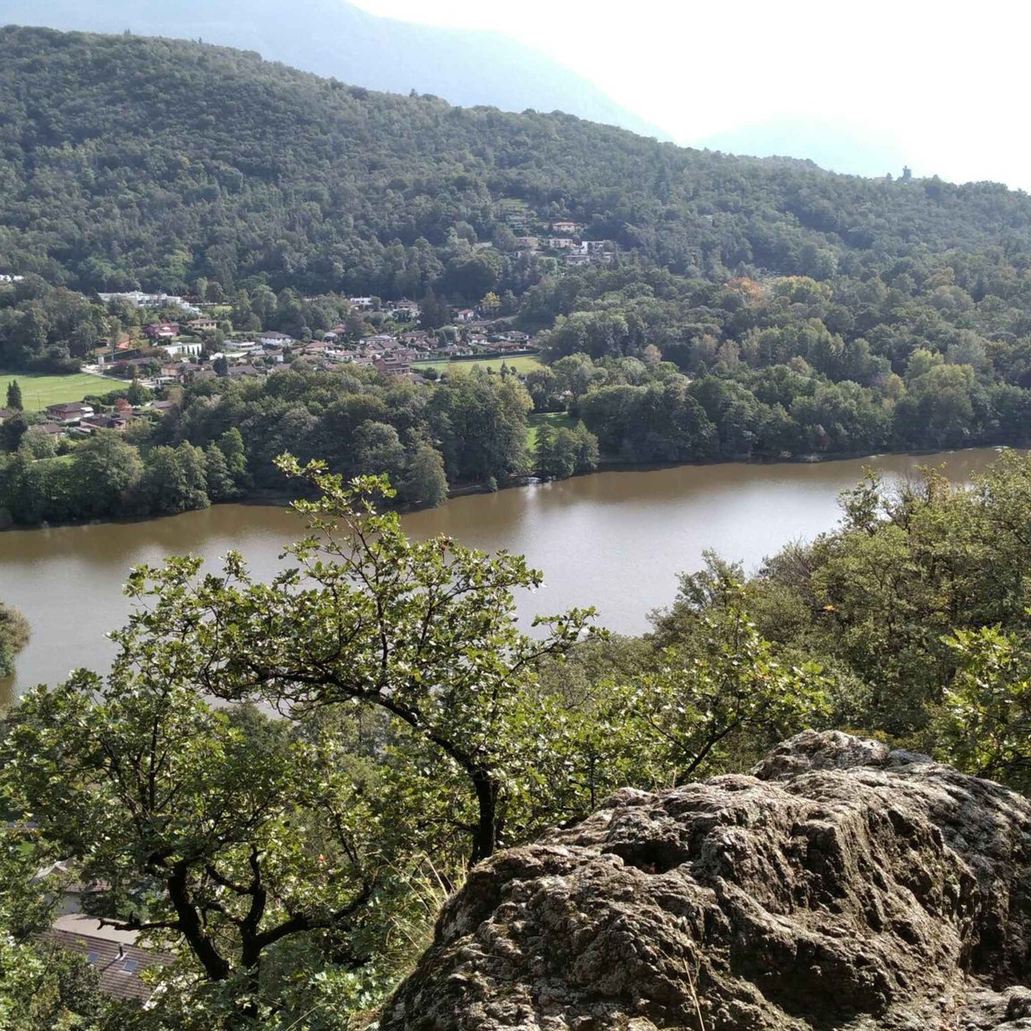
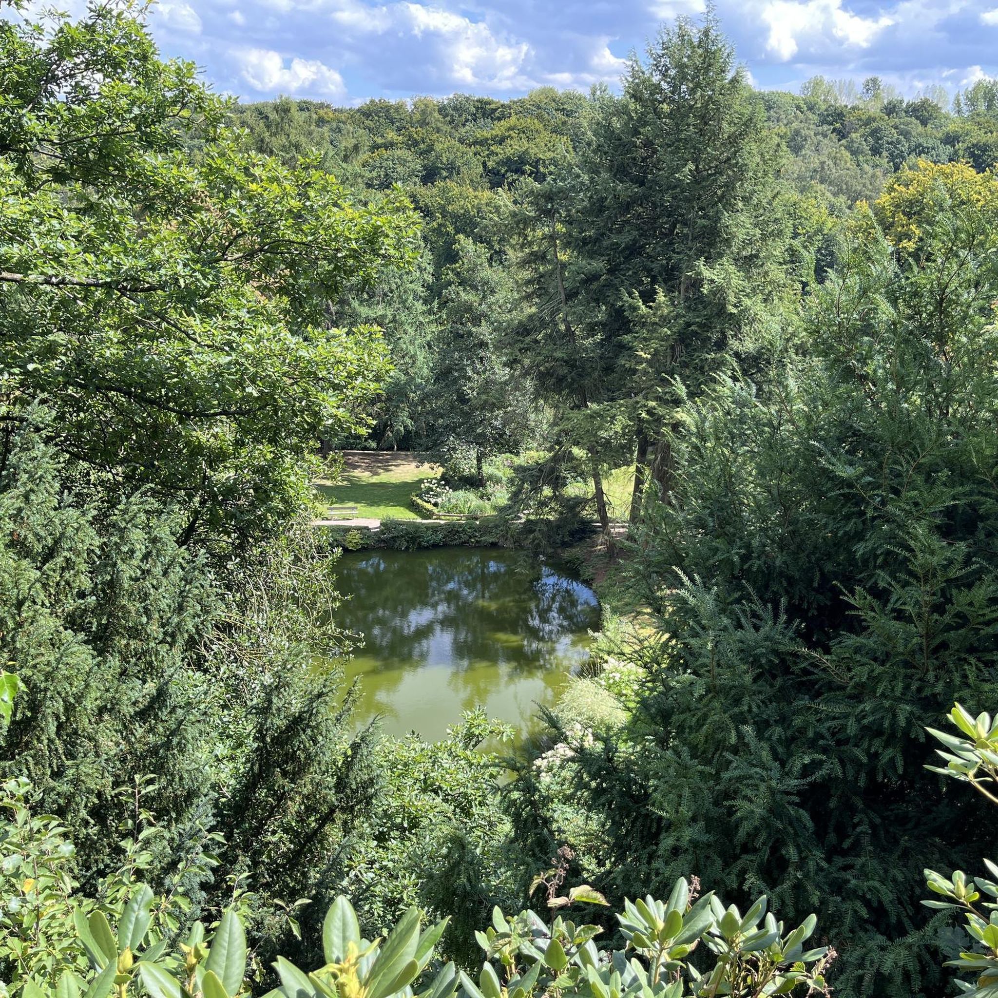
Still an incredibly beautiful and peaceful place in 2026. However, the view has become overgrown over the years. Nevertheless, worth a hike.
1
0

In times of prolonged drought, people used to pray for rain here.
0
0

Superb magical place. Wooden constructions to represent the village festival of yesteryear.
0
0

Located in the woods south of Vaglio, the Redde tower and the Church of S. Clemente were part of an inhabited complex including a village (Redde), the house-fortress and a church.
0
0
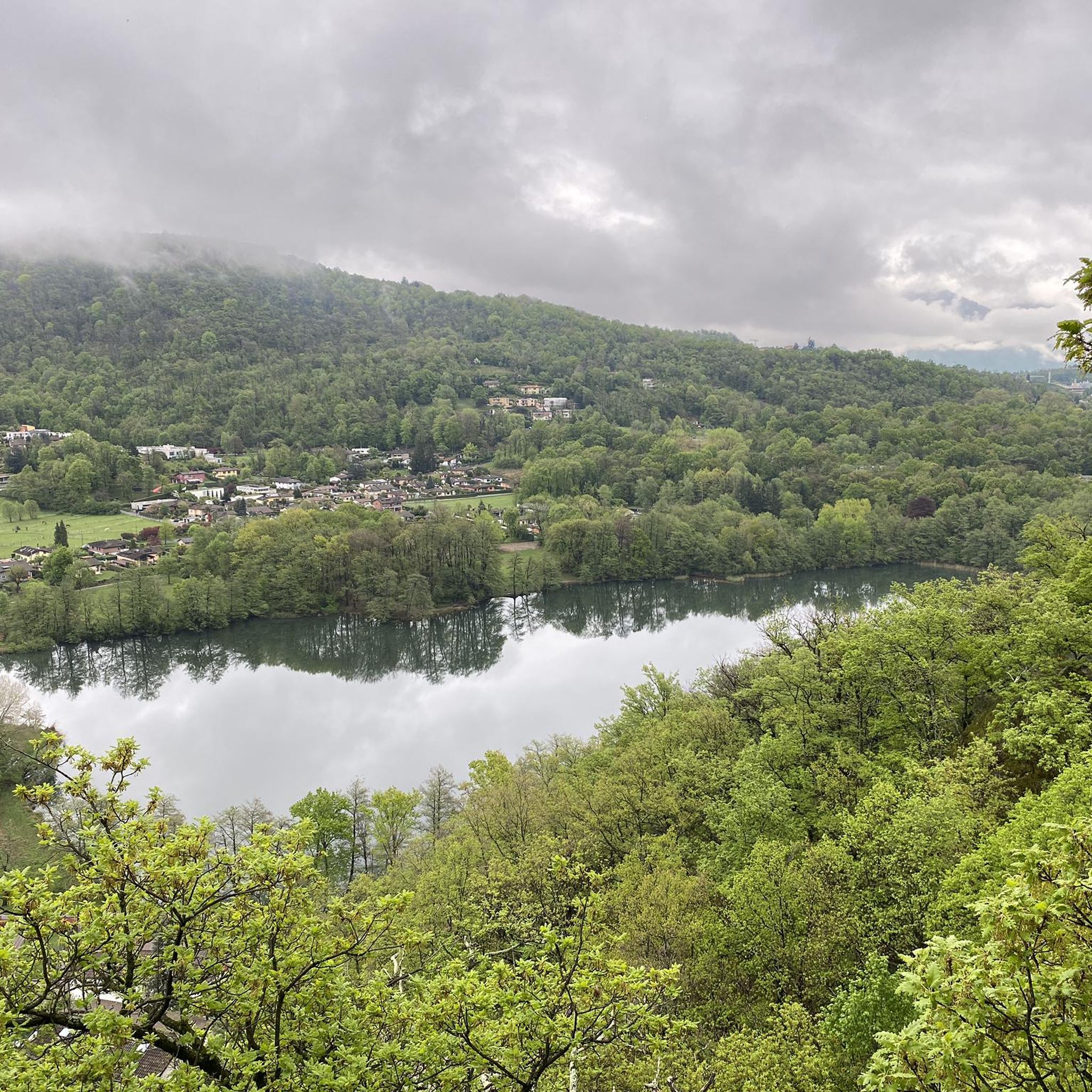
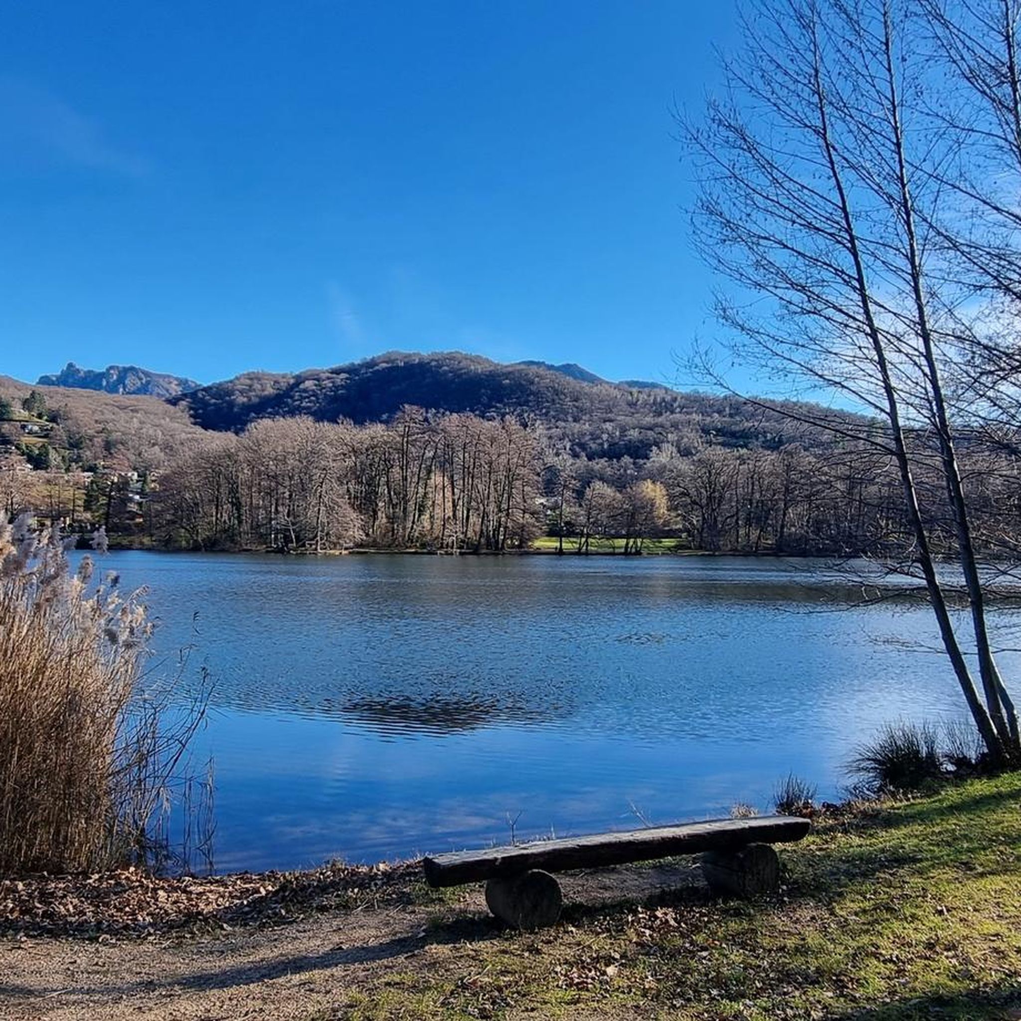
Lake Origlio is of glacial origin and is a natural reserve that allows the reproduction of numerous species of fish and amphibians and represents the perfect habitat for the dragonflies that populate this area.
0
0

Small lake worth visiting. There are paths and wooden walkways, easily passable. Be careful when wet! However, the tour of the lake is short and it is worth slowing down or perhaps using this area to take a rest stop.
0
0

At the end of the bridge a new city begins here
0
1

Frequently Asked Questions
How many hiking trails are available around Cadempino?
There are over 570 hiking routes around Cadempino, catering to various skill levels. This includes more than 200 easy trails, over 280 moderate options, and nearly 90 more challenging routes for experienced hikers.
What kind of natural features can I expect to see on hikes near Cadempino?
The region around Cadempino offers diverse natural features. You can find trails leading through extensive forested areas and agricultural lands, with proximity to Lake Lugano. Prominent peaks like Monte Tamaro and Monte San Salvatore offer expansive views. You might also encounter natural monuments such as the San Grato Botanical Garden or even the Al Maglio waterfall.
Are there any easy, family-friendly hikes around Cadempino?
Yes, Cadempino offers several easy routes suitable for families. A good option is the Lake Origlio Nature Reserve – Origlio Pond loop from Distretto di Lugano, which is about 4.5 km long and takes around 1 hour 10 minutes. This trail features minimal elevation gain, making it pleasant for all ages.
What do other hikers enjoy most about the trails in Cadempino?
The hiking trails around Cadempino are highly rated by the komoot community, with an average score of 4.6 stars from over 4000 reviews. Hikers often praise the varied terrain, from quiet woodlands to scenic viewpoints, and the well-maintained paths that offer a mix of easy strolls and more challenging ascents.
Are there any circular walks near Cadempino?
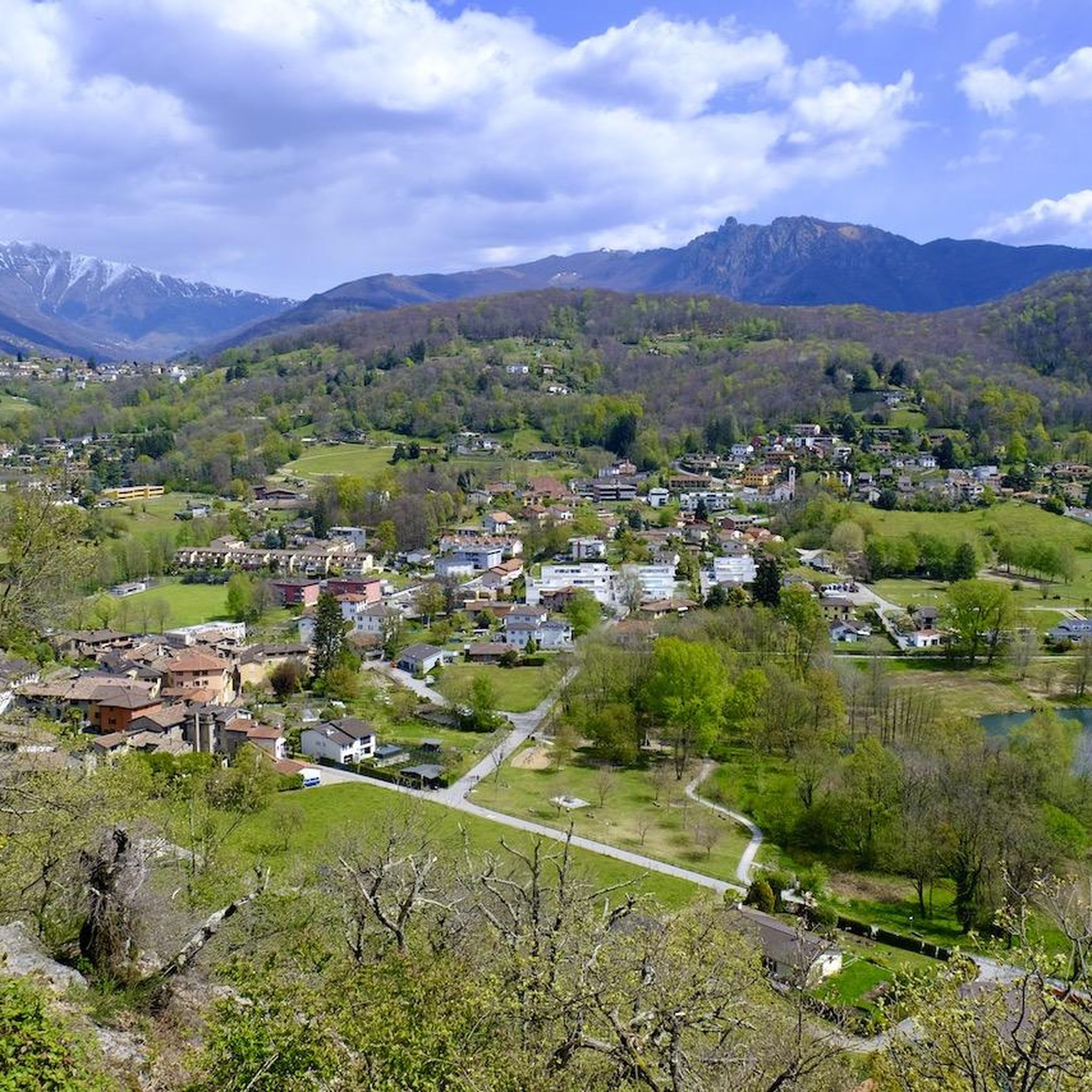
Many routes around Cadempino are designed as circular walks, allowing you to start and end at the same point. An example is the Lamone Historic Village Center – View of Lake Origlio loop from Distretto di Lugano, an easy 5.5 km trail that explores a historic village and offers lake views.
Can I find trails that lead to panoramic viewpoints?
Absolutely. The region is known for its stunning vistas. Hikes towards peaks like Monte Tamaro and Monte San Salvatore provide magnificent panoramic views. You can find trails leading to the View from Monte San Salvatore, offering expansive sights over Lake Lugano and the surrounding Alps.
Are there any trails that pass through picturesque villages?
Yes, several routes incorporate charming local villages. For instance, the Lamone Historic Village Center – View of Lake Origlio loop from Distretto di Lugano takes you through a historic village. Additionally, the picturesque village of Gandria on Lake Lugano, with its 16th and 17th-century buildings, is accessible on foot from nearby areas and makes for a beautiful stop during a hike.
What is a good moderate hike for someone looking for varied terrain?
For a moderate hike with varied terrain, consider the Comano – Redde Tower loop from Distretto di Lugano. This 12.2 km path features forested sections and potential viewpoints, offering a diverse experience over approximately 3 hours 42 minutes.
Are there any trails that go through dense forests?
Yes, the region has significant forested areas. The Wooden Bridge in Ticino Forest – Comano loop from Distretto di Lugano is a 6.5 km trail that leads through dense forest, typically completed in about 2 hours 10 minutes, providing a serene woodland experience.
What are some notable mountain peaks or summits accessible from Cadempino?
Two prominent peaks accessible from the Cadempino area are Monte Tamaro and Monte San Salvatore. Monte Tamaro, at 1,960 meters, offers vast views, while Monte San Salvatore provides trails with magnificent panoramas. You can find highlights for Monte Tamaro and the View from Monte San Salvatore.
Are there any alpine huts or refuges along the hiking trails?
Yes, the region around Cadempino features several alpine huts that serve as excellent rest stops. Notable ones include Capanna Monte Bar, offering views of Lugano and the Alps, and Alpe Bolla, a mountain pasture with a refuge. The Tamaro Hut (Capanna Tamaro) is also a good stop before ascending Monte Tamaro.
What is the best time of year to go hiking in Cadempino?
The Ticino canton, where Cadempino is located, offers an extensive network of trails suitable for various seasons. Spring and autumn generally provide pleasant temperatures and vibrant scenery. Summer is also popular, especially for higher altitude trails, while some lower elevation paths might be accessible for winter hiking, depending on snow conditions.
Most popular routes around Cadempino
Most popular attractions around Cadempino

Get inspired with the komoot mobile app


Explore more
Browse the best Hikes in other regions.
