The best mountain hikes around Cadempino
5.0
(5)
56
hikers
5
hikes
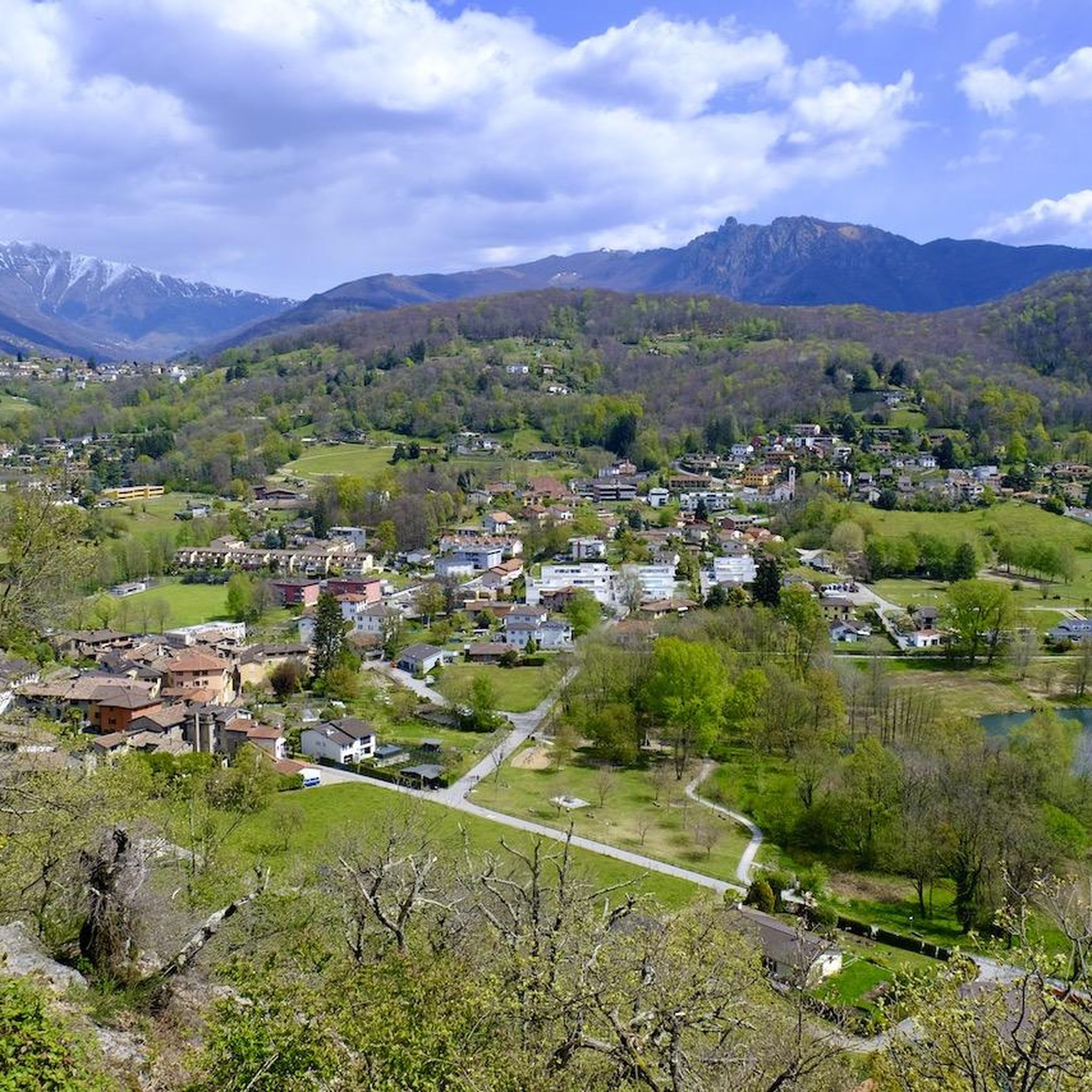
Mountaineering routes around Cadempino, a municipality in the Lugano district of Ticino, Switzerland, provide access to diverse natural landscapes. The region is characterized by dramatic alpine scenery, panoramic peaks, and extensive trail networks. From Cadempino, mountaineers can explore varied terrain ranging from chestnut forests to higher alpine environments. This area serves as a gateway to the broader Lugano region and the canton of Ticino, offering a wide array of outdoor experiences.
Best mountaineering routes around Cadempino
- The most popular mountaineering…
Last updated: June 28, 2026
5.0
(3)
35
hikers
4.38km
02:13
350m
350m
Moderate mountaineering route. Good fitness required. Mostly accessible paths. Sure-footedness required.
6
hikers
11.5km
05:17
900m
900m
Hard mountaineering route. Very good fitness required. Mostly accessible paths. Sure-footedness required.

Sign up for free
5.0
(1)
5
hikers
4.26km
01:48
260m
260m
Moderate mountaineering route. Great for any fitness level. Mostly accessible paths. Sure-footedness required.
6
hikers
6.88km
02:57
410m
410m
Hard mountaineering route. Good fitness required. Sure-footedness, sturdy shoes and alpine experience required.
5.0
(1)
4
hikers
8.78km
03:34
500m
500m
Moderate mountaineering route. Good fitness required. Mostly accessible paths. Sure-footedness required.
Our route recommendations are based on thousands of hikes, rides, and runs completed by other people on komoot.
Start today with a free account
Your next adventure awaits.
Login or Signup
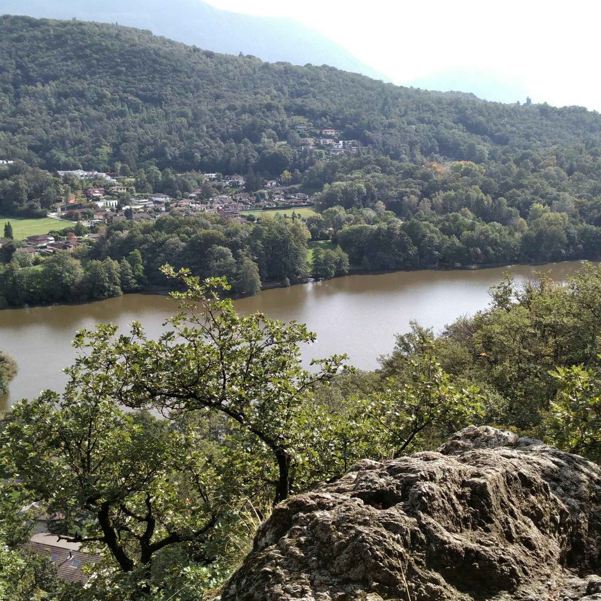
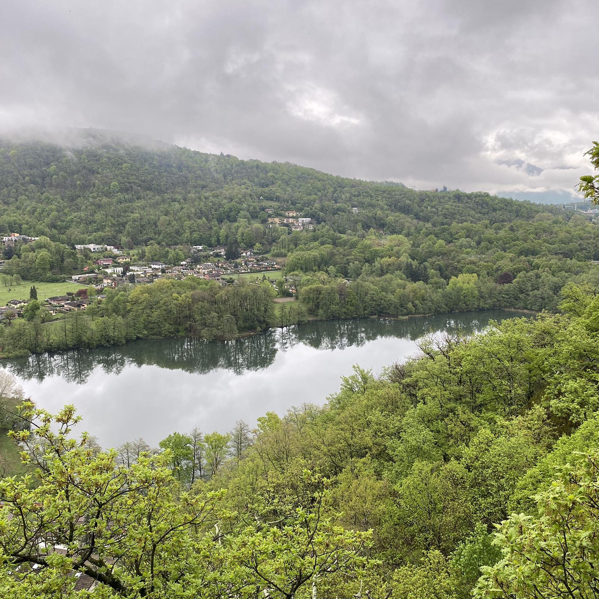
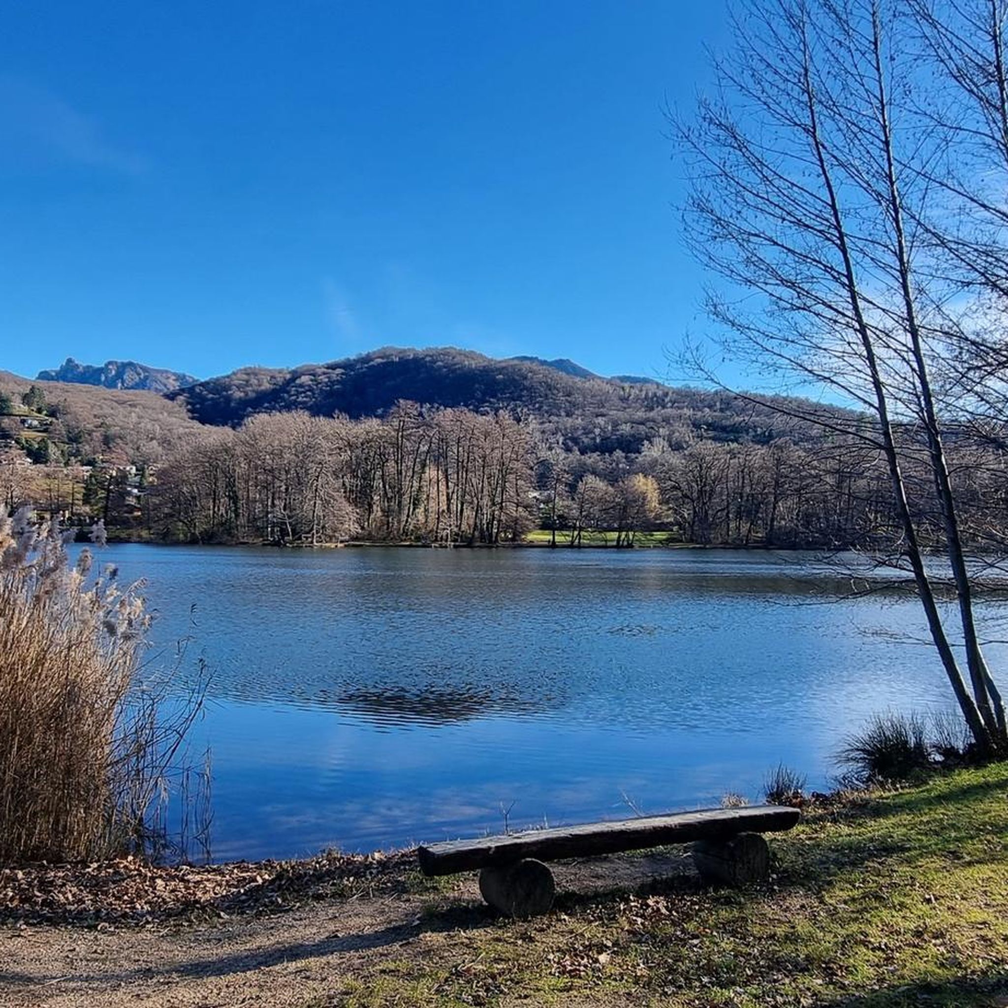

Tips from the Community

scenically very great tour. Top Top Top
0
0

Which direction would I like to take? Always so many possibilities to choose from here.
0
0
Always a beautiful destination for those starting from the valley or from Arosio.
0
0

Nice and cozy restaurant on the summit
8
0
Trips every 30 minutes
8
0

It's definitely tiring but the view makes up for the effort, if you want there's a cable car from Miglieglia😁
0
0

Here you take the mountain bike train up Monte Lema. Then you ride the mountain bike down to Italy and then back to Agno.
0
0
Frequently Asked Questions
How many mountaineering routes can I explore around Cadempino?
There are currently 7 mountaineering routes available around Cadempino, offering a range of experiences from moderate to difficult. These routes are highly rated by the komoot community, with an average score of 5.0 stars.
Are there any moderate mountaineering routes suitable for those looking for a less strenuous climb?
Yes, there are 3 moderate mountaineering routes around Cadempino. One excellent option is the Monte San Salvatore – Puntobelvedere loop from Pazzallo. This 4.8 km route typically takes around 2 hours 20 minutes to complete and offers panoramic views of Lake Lugano and the surrounding mountains.
What are some of the more challenging mountaineering routes in the Cadempino area?
For experienced mountaineers seeking a challenge, the region offers several difficult routes. The Sasso Rosso – Monte Boglia loop from Brè sopra Lugano is a demanding 11.1 km path that traverses varied terrain, including forested sections and open ridges with expansive vistas. Another difficult option is the Ristorante Ostello Vetta – Monte Lema loop from Miglieglia, which is 11.4 km long and leads through alpine meadows with views towards Monte Lema.
Are there any circular mountaineering routes near Cadempino?
Yes, many of the mountaineering routes around Cadempino are circular, allowing you to start and end at the same point. For example, the Monte San Salvatore loop from Lago di Lugano is a moderate 4.3 km circular route that offers beautiful views.
What kind of natural landscapes can I expect to see on these routes?
The mountaineering routes around Cadempino showcase the diverse natural landscapes of Ticino. You'll encounter dramatic alpine scenery, panoramic peaks, and extensive trail networks. The terrain varies from lush chestnut forests to higher alpine environments, offering a rich visual experience.
What are some notable peaks or viewpoints accessible from Cadempino?
Cadempino provides access to several prominent mountain peaks and viewpoints. You can explore routes leading to Monte Tamaro, known for its panoramic views, or enjoy the stunning vistas from Monte San Salvatore. Monte Lema is another significant peak in the area, often featured in longer treks.
Are there any unique natural attractions or gorges to explore near the mountaineering trails?
Yes, the region around Cadempino features interesting natural attractions beyond the peaks. You can find gorges like the Franscinone Gorge and Historic Ruins, which offers a blend of natural beauty and historical elements. There's also a Dry Canyon for a different kind of exploration.
What is the best time of year for mountaineering around Cadempino?
The best time for mountaineering around Cadempino, and the broader Ticino region, is generally from spring through autumn. During these seasons, the weather is more stable, and the trails are typically free of snow, making for safer and more enjoyable ascents. Always check local weather conditions before heading out.
Are there any specific routes that include a via ferrata?
Yes, for those interested in a via ferrata experience, the Via Ferrata San Salvatore – Monte San Salvatore loop from Circolo di Carona is a difficult 7 km route that incorporates a via ferrata section, offering a more technical mountaineering challenge.
What do other mountaineers enjoy most about the routes in Cadempino?
The routes in Cadempino are highly rated by the komoot community, with an average score of 5.0 stars from over 5 reviews. Mountaineers often praise the diverse terrain, from chestnut forests to panoramic peaks, and the extensive trail networks that cater to various ability levels.
Can I find places to eat or stay near the mountaineering trailheads?
Yes, the region around Cadempino and Lugano offers various options for dining and accommodation. You might find traditional 'grottos' like Grotto Sgambada or Grotto del Pep near some trailheads, offering local cuisine. For accommodation, there are options ranging from hotels in Lugano to mountain huts like the Monte Lema Summit Hostel.
Most popular routes around Cadempino
Most popular attractions around Cadempino

Get inspired with the komoot mobile app


Explore more
Browse the best Mountain Hikes & Routes in other regions.
