The best running trails around Lago di Doberdò / Doberdobsko jezero
4.5
(115)
4,147
runners
306
runs
Jogging routes around Lago di Doberdò / Doberdobsko jezero traverse a distinctive karstic landscape characterized by an intermittent lake, which experiences significant water level fluctuations. The region, part of the Natural Reserve of the Doberdò and Pietrarossa Lakes, features a high biodiversity where wetland ecosystems transition into barren steppe and karst fields. Trails often follow the lake's banks, lined with riparian wood, and ascend karst hills, some of which hold historical structures from World War I. This varied terrain offers…
Last updated: July 6, 2026
2
runners
9.26km
01:02
130m
130m
Moderate run. Good fitness required. Mostly paved surfaces. Suitable for all skill levels.
10
runners
16.9km
01:58
410m
410m
Hard run. Very good fitness required. Mostly accessible paths. Some sure footedness required.

Sign up for free
3
runners
7.84km
00:57
210m
210m
Hard run. Good fitness required. Sure-footedness, sturdy shoes and alpine experience required.
3
runners
Hard run. Good fitness required. Sure-footedness, sturdy shoes and alpine experience required.
8
runners
10.0km
01:06
70m
70m
Moderate run. Good fitness required. Mostly paved surfaces. Suitable for all skill levels.
Get access to more routes and recommendations from other explorers.
Sign up for free
Already have an account?
Our route recommendations are based on thousands of hikes, rides, and runs completed by other people on komoot.
Start today with a free account
Your next adventure awaits.
Login or Signup
Popular around Lago di Doberdò / Doberdobsko jezero
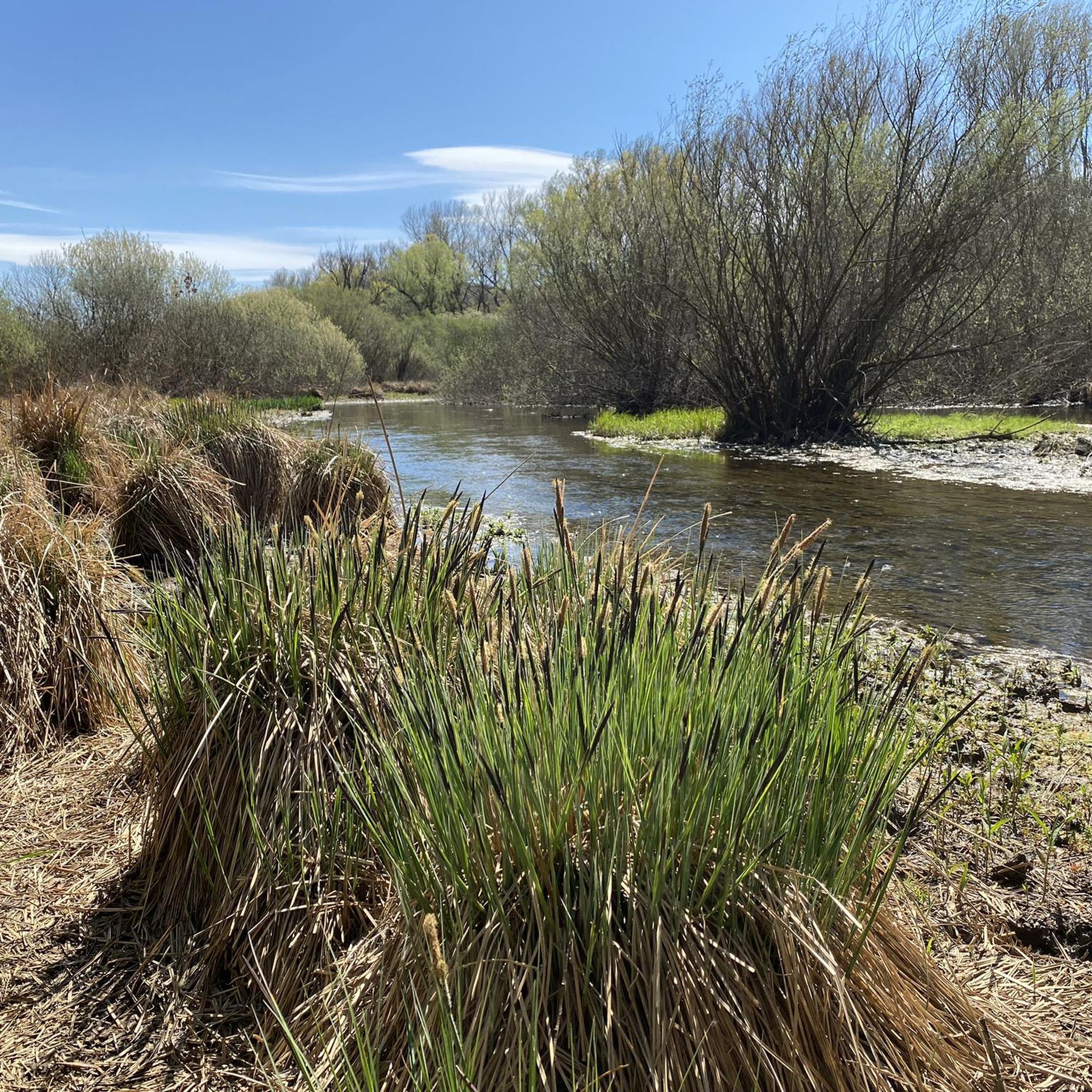
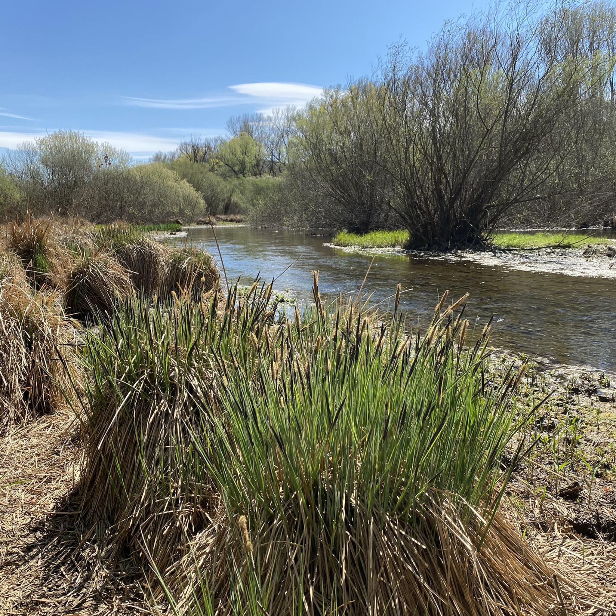
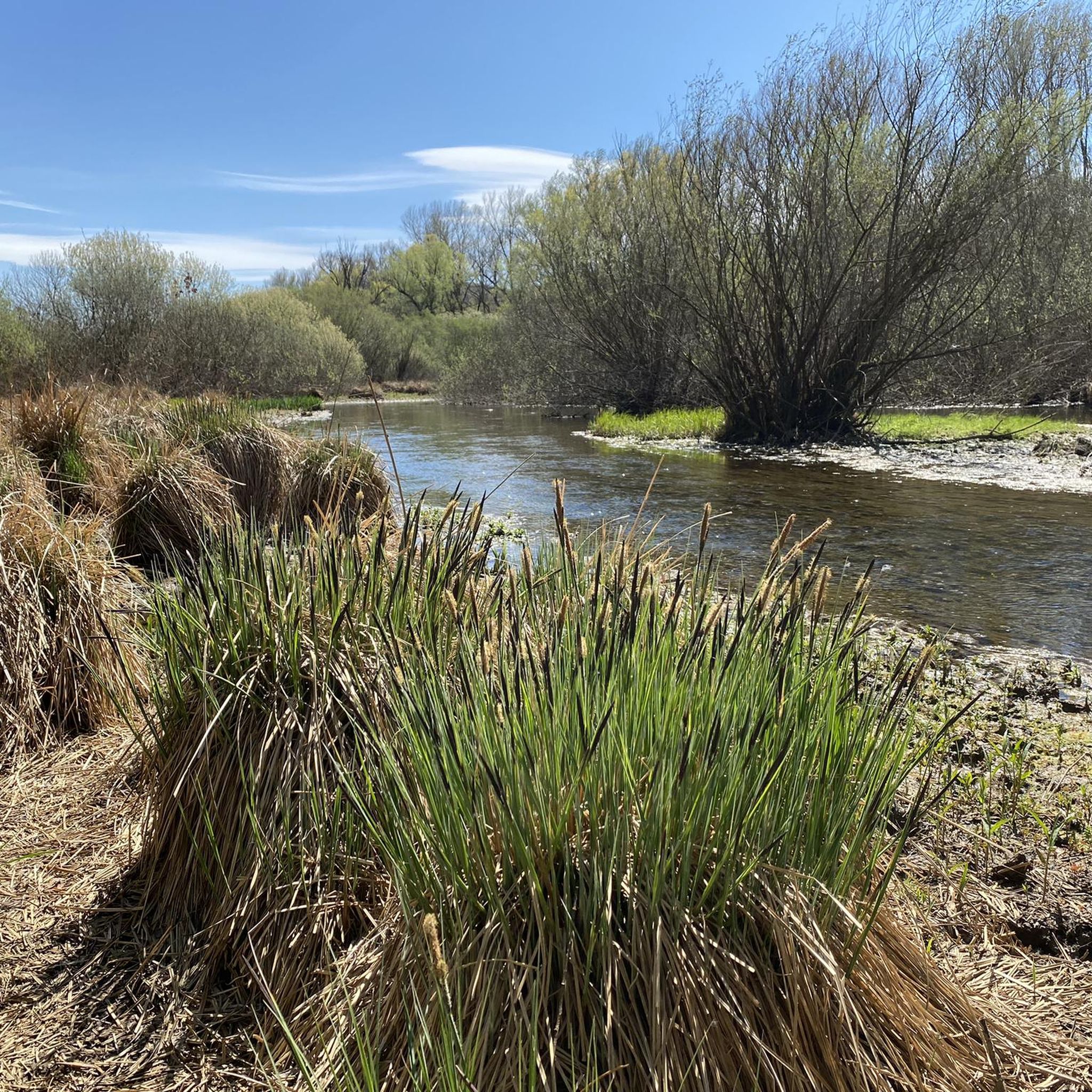
Tips from the Community

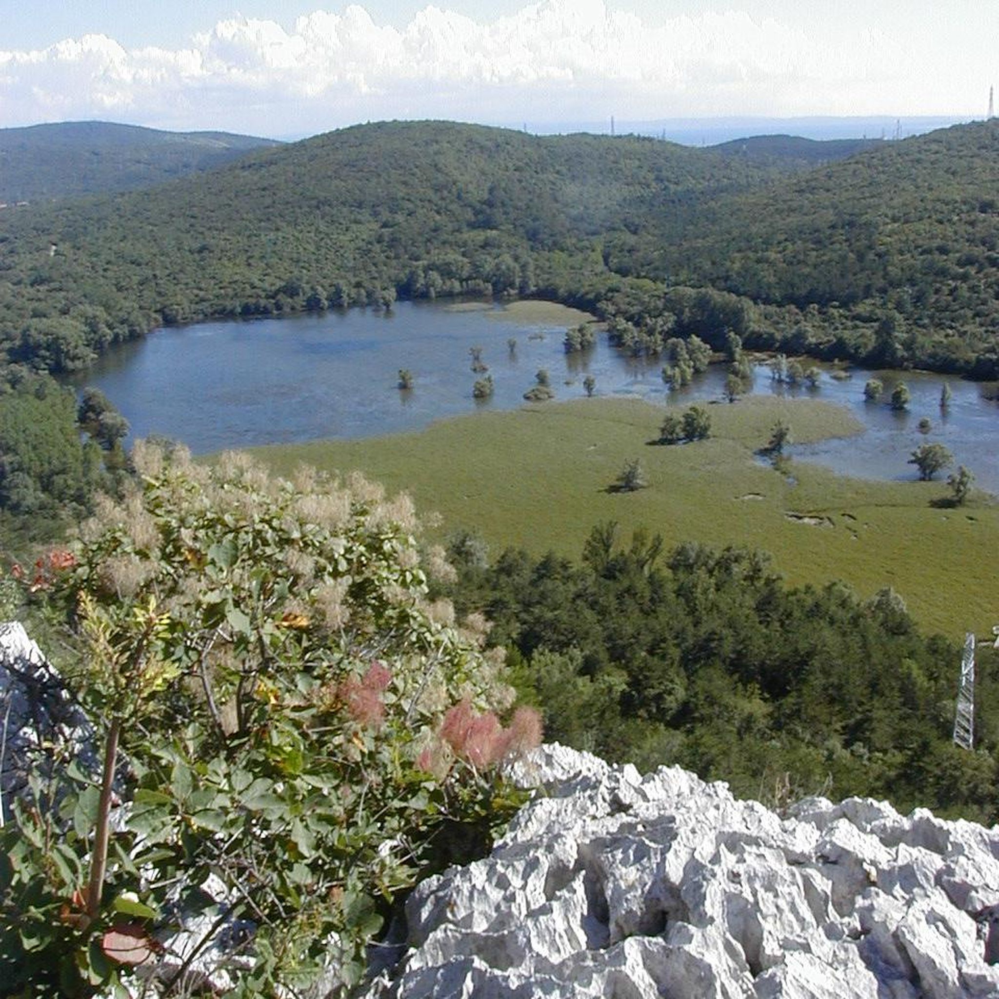
Located just a few kilometers from Duino Castle, in the western sector of the Gorizia Karst, Lake Pietrarossa is one of the pearls of the Regional Natural Reserve shared with the nearby Lake Doberdò. Together with the latter, it represents one of the very rare examples in Europe of a karst lake: a temporary basin that occupies a natural depression called a polje. The charm of this place lies in its changing nature; it is not fed by surface rivers, but by the oscillations of the underground water table. During rainy periods, water emerges from the depths, flooding the plain, while in dry seasons the lake can almost disappear, leaving space for a verdant carpet of reeds and wet meadows. This alternation creates a unique ecosystem where the arid and rocky karst landscape meets a humid area rich in biodiversity, making it a paradise for birdwatching and silent excursions.
0
0

Panoramic view of the Gulf of Panzano.
1
0

Case Kohisce, located on the slopes of Mount Cocco, is accessible via a wide path easily accessible on foot or by bike. The environment is well-maintained and there are several enclosures with animals (mostly donkeys). The ruins are all that remain of a farm that belonged to the Torre e Tasso family last century and was abandoned upon the death of the Prince's last settler.
0
0

Mount Cosici (Cosich)/Košnik is a marginal hill of the Doberdò del Lago/Doberdob Karst on which the first line of Austro-Hungarian resistance was based from June 1915 to August 1916, when Italian troops occupied it as part of the Sixth Battle of the Isonzo. During that abundant year it was bloodily attacked several times by the Italians (west and south sides), without success. The remains of the Austro-Hungarian fortifications, however, are largely surmounted by the vestiges of the trenches, shelters and artillery positions built by the Royal Italian Army after the occupation, between August 1916 and October 1917. The place is of great historical and landscape interest. Text: Marco Pascoli
0
0
Mount Cosici (Cosich)/Košnik is a marginal hill of the Doberdò del Lago Karst on which the first line of Austro-Hungarian resistance was based from June 1915 to August 1916, when Italian troops occupied it as part of the Sixth Battle of the Isonzo. During that abundant year it was bloodily attacked several times by the Italians (west and south sides), without success. The remains of the Austro-Hungarian fortifications, however, are largely surmounted by the vestiges of the trenches, shelters and artillery positions built by the Royal Italian Army after the occupation, between August 1916 and October 1917. The place is of great historical and landscape interest. Text: Marco Pascoli
0
0
The descent towards the Northeast is fun and technical for XC, it has a couple of slightly technical passages on rocks, pay attention in case of wet ground
0
0


What remains of an ancient settlement
0
0
Frequently Asked Questions
How many running routes are available around Lago di Doberdò / Doberdobsko jezero?
There are over 300 running routes in the Lago di Doberdò / Doberdobsko jezero area. These routes cater to various fitness levels, ranging from easy paths to more challenging trails with significant elevation gain.
What kind of terrain can I expect on the jogging trails near Lago di Doberdò?
The terrain around Lago di Doberdò / Doberdobsko jezero is primarily karstic, featuring a unique blend of wetland ecosystems, barren steppe, and karst fields. You'll find paths along the lake's banks, often lined with riparian wood, and trails ascending karst hills. Some routes may require sure-footedness due to the rocky karst environment.
Are there any easy running routes suitable for beginners or a relaxed jog?
Yes, the region offers several easy running routes. For a relaxed jog, consider paths with less elevation gain. One option is the Gravel Path loop from Doberdò del Lago / Doberdob, which is a moderate 10 km route with minimal elevation changes, perfect for a steady pace.
What are some challenging running routes for experienced runners?
For experienced runners seeking a challenge, there are several difficult routes. The Nature Trail – Case Coisce Ruins loop from Jamiano / Jamlje is a difficult 16.9 km path with over 400 meters of elevation gain, offering a demanding run through varied landscapes. Another option is the View from Kremenjak (235 m) loop from Jamiano / Jamlje, a 7.8 km difficult trail through karstic hills.
Can I find circular running routes around Lago di Doberdò / Doberdobsko jezero?
Yes, many of the running routes in the area are circular, allowing you to start and end at the same point. For example, the popular Monte Cosichi – Lago di Pietrarossa loop from Jamiano / Jamlje is a moderate 9.3 km circular trail connecting a hill with the unique Pietrarossa lake.
What natural and historical sights can I see while running in this region?
While running, you can experience the unique karstic landscape, the intermittent Lago di Doberdò itself, and its surrounding wetland ecosystems. Historically, the area features numerous karst hills with military structures and pathways primarily from World War I. You might encounter sites like the Casa Cadorna refuge, offering panoramic views, or the ancient castellazzo on Castellazzo hill. The Gradina Visitor Center also provides insights into the area's natural and cultural aspects.
Are the running trails around Lago di Doberdò / Doberdobsko jezero suitable for families?
The region offers a variety of trails, some of which are suitable for families, especially those looking for easier, less strenuous paths. While specific 'family-friendly' routes aren't explicitly highlighted, many of the easier and moderate routes with paved or well-maintained surfaces could be enjoyed by families. Always check the route details for distance and elevation to ensure it matches your family's fitness level.
Are dogs allowed on the jogging routes?
Generally, dogs are welcome on trails in natural areas, but it's always advisable to keep them on a leash, especially in nature reserves like the Natural Reserve of the Doberdò and Pietrarossa Lakes, due to the presence of wildlife such as roe deer and golden jackals. Please ensure you clean up after your pet.
Is there parking available near the trailheads?
Yes, parking is generally available near popular trailheads and visitor centers. For instance, routes starting from Jamiano / Jamlje or Doberdò del Lago / Doberdob often have designated parking areas. It's recommended to check specific route descriptions or local signage for the most convenient parking options.
What do other runners enjoy most about jogging in Lago di Doberdò / Doberdobsko jezero?
The running routes in Lago di Doberdò / Doberdobsko jezero are highly rated by the komoot community, with an average score of 4.3 stars from over 100 reviews. Runners frequently praise the unique karstic landscapes, the diverse ecosystems ranging from wetlands to barren fields, and the historical elements found along the paths. Many appreciate the variety of routes available for different ability levels.
Are there any visitor centers or amenities near the running trails?
Yes, the Gradina Visitor Center is located in the area and serves as a valuable resource. It offers an interactive museum route providing information about the Karst area's natural, historical, and cultural aspects, which can be a great starting or ending point for your run.
What is the typical elevation gain on the running routes?
The elevation gain varies significantly across routes. Easy paths might have minimal elevation, while more challenging trails can feature substantial climbs. For example, the Gradina Visitor Center – Bench in the Forest loop from Doberdò del Lago / Doberdob, a difficult 12.2 km route, has an elevation gain of around 170 meters, while other difficult routes can exceed 400 meters of ascent.
Most popular routes around Lago di Doberdò / Doberdobsko jezero

Get inspired with the komoot mobile app


Explore more
Browse the best Running Trails & Routes in other regions.
