The best mountain hikes around Lake Misurina
4.7
(331)
2,320
hikers
58
hikes
Mountaineering around Lake Misurina offers access to the Dolomites UNESCO World Heritage site, characterized by majestic mountain ranges and a high-altitude alpine lake. The region features prominent peaks such as the Cadini Group, Mount Cristallo, and the iconic Tre Cime di Lavaredo. Its terrain includes challenging ascents, equipped trails, and panoramic viewpoints reflecting the diverse geology of the Dolomites. The area provides a range of mountaineering experiences within a unique mountain environment.
Best mountaineering routes around Lake Misurina
- The most…
Last updated: October 11, 2026
4.7
(7)
22
hikers
Hard mountaineering route. Very good fitness required. Sure-footedness, sturdy shoes and alpine experience required.
4.5
(2)
22
hikers
11.7km
03:58
590m
590m
Moderate mountaineering route. Good fitness required. Mostly accessible paths. Sure-footedness required.

22
hikers
7.44km
03:42
650m
650m
Hard mountaineering route. Good fitness required. Sure-footedness, sturdy shoes and alpine experience required.
4.5
(4)
11
hikers
6.68km
03:09
450m
450m
Hard mountaineering route. Good fitness required. Sure-footedness, sturdy shoes and alpine experience required.
5.0
(3)
6
hikers
14.5km
06:01
840m
840m
Hard mountaineering route. Very good fitness required. Sure-footedness, sturdy shoes and alpine experience required.
Get access to more routes and recommendations from other explorers.
Already have an account?
Our route recommendations are based on thousands of hikes, rides, and runs completed by other people on komoot.
Start today with a free account
Your next adventure awaits.
Popular around Lake Misurina
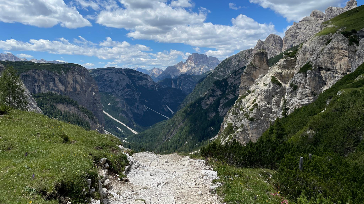
Trail running between the peaks of the Dolomites – Lavaredo Ultra Trail
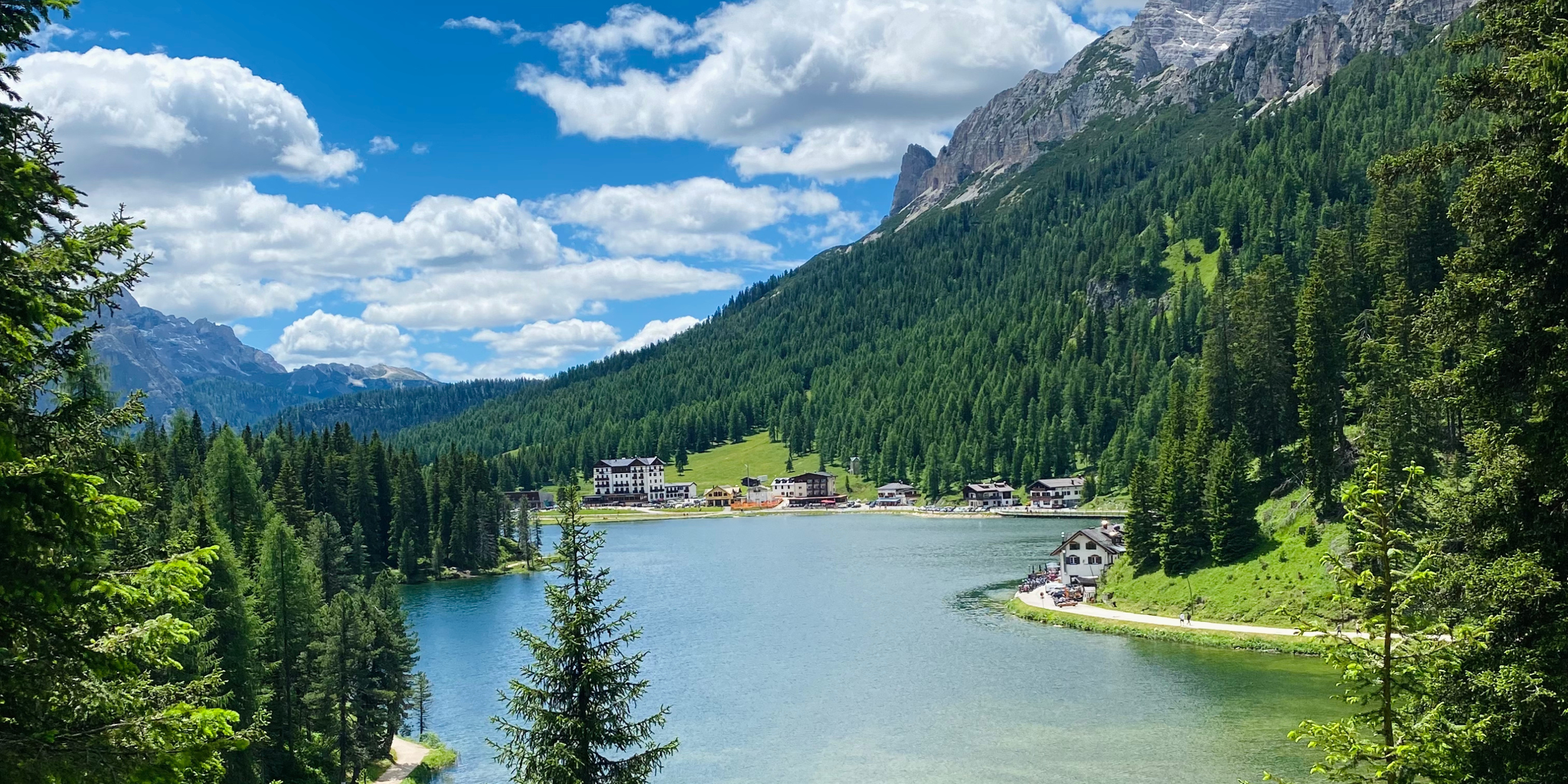
Cycling from sea to mountains – Venice to Cortina d'Ampezzo
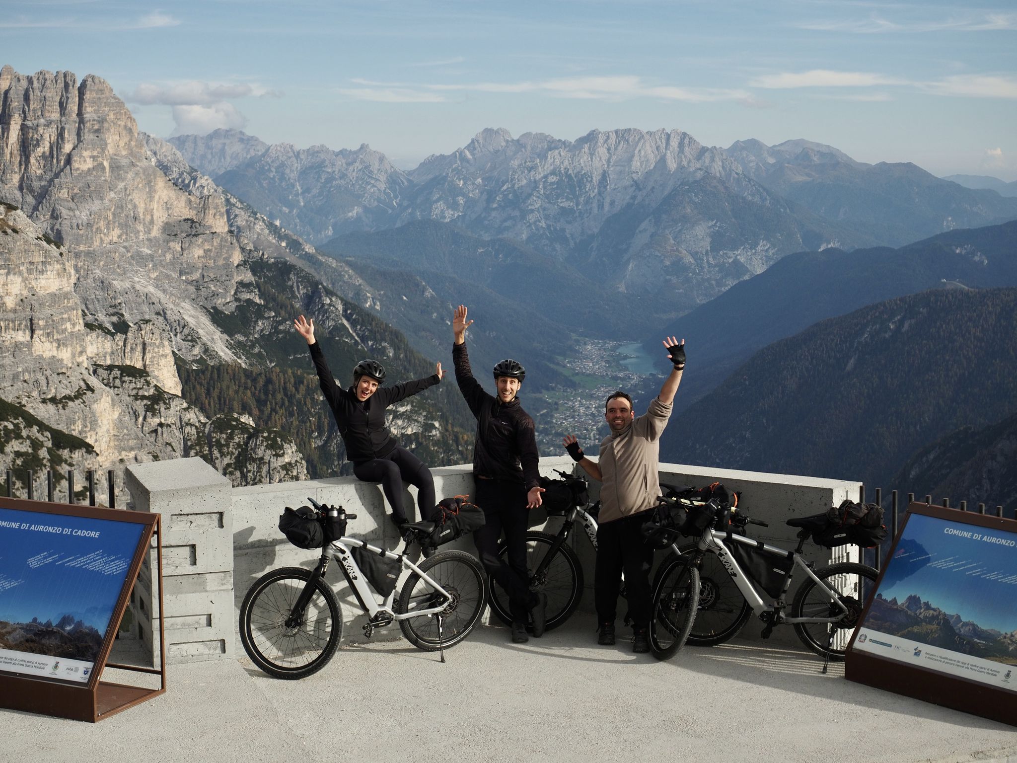
A family adventure – bikepacking through the Dolomites with Belén's brother
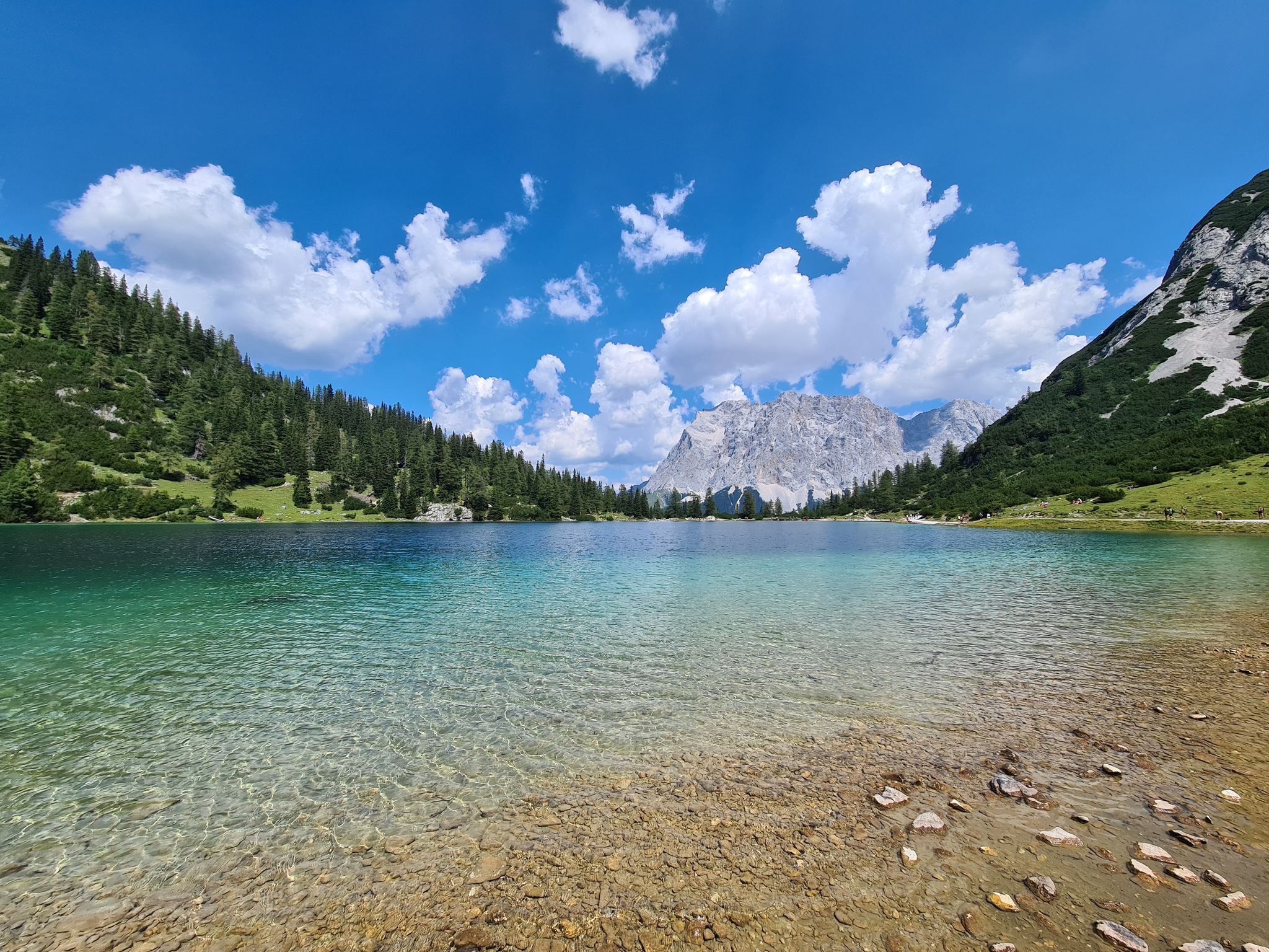
The most wonderful Alpine lakes
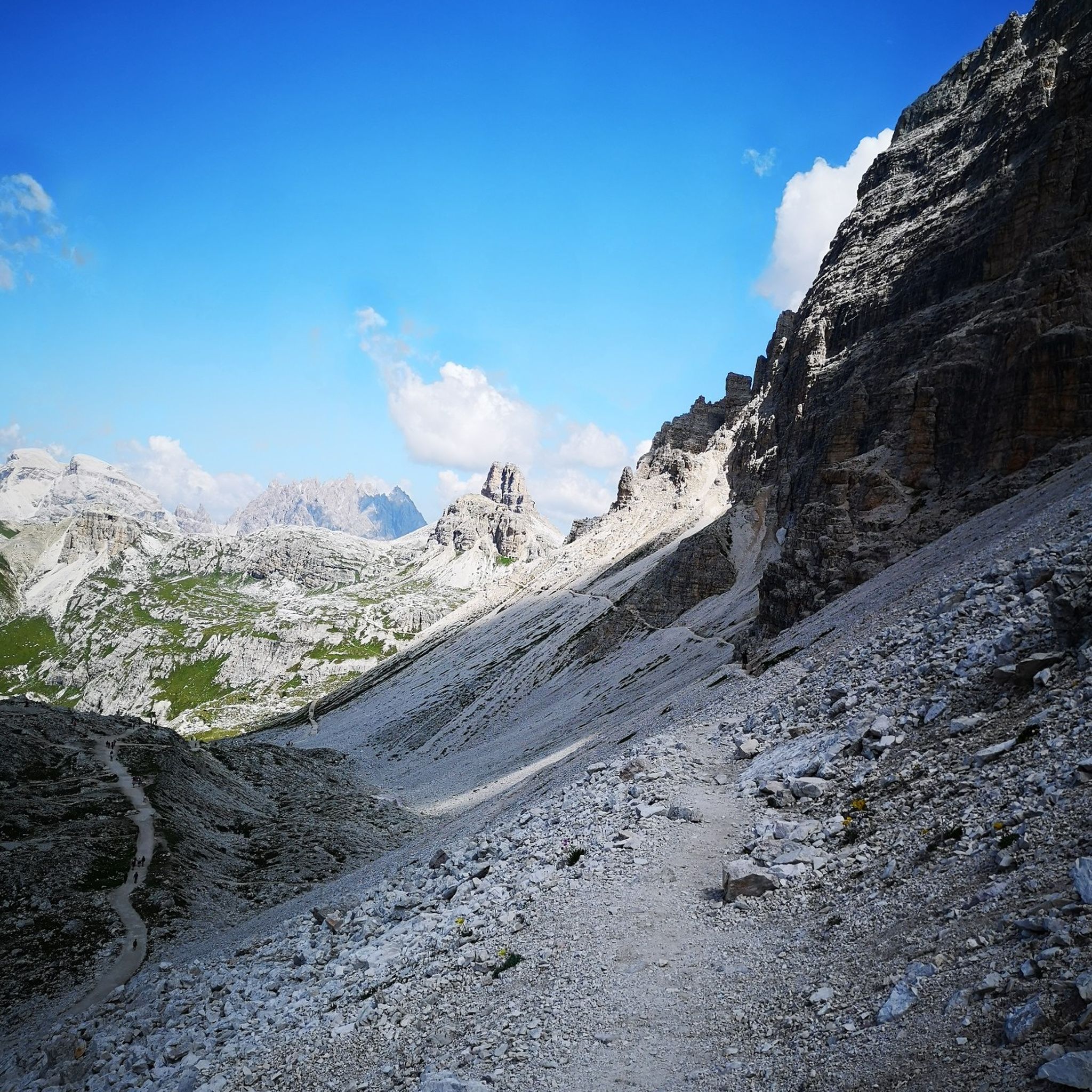
Hiking around Lake Misurina
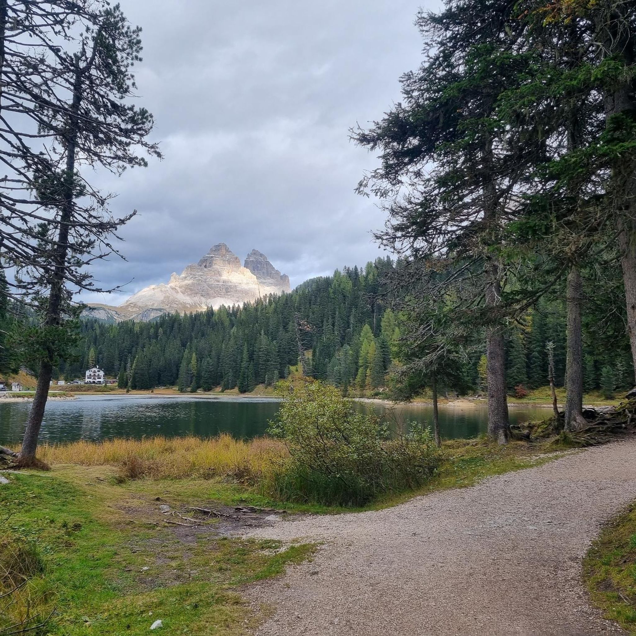
Cycling around Lake Misurina
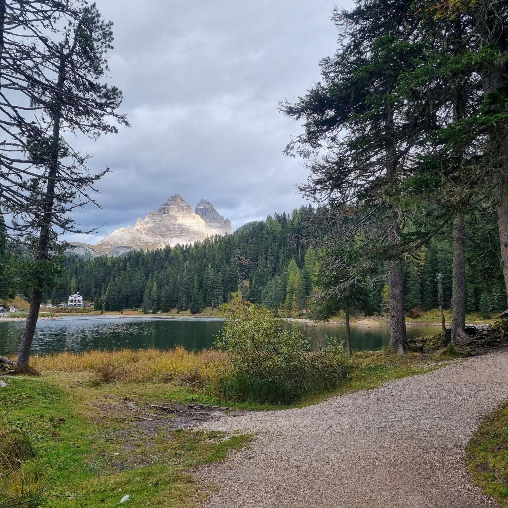
Road Cycling Routes around Lake Misurina
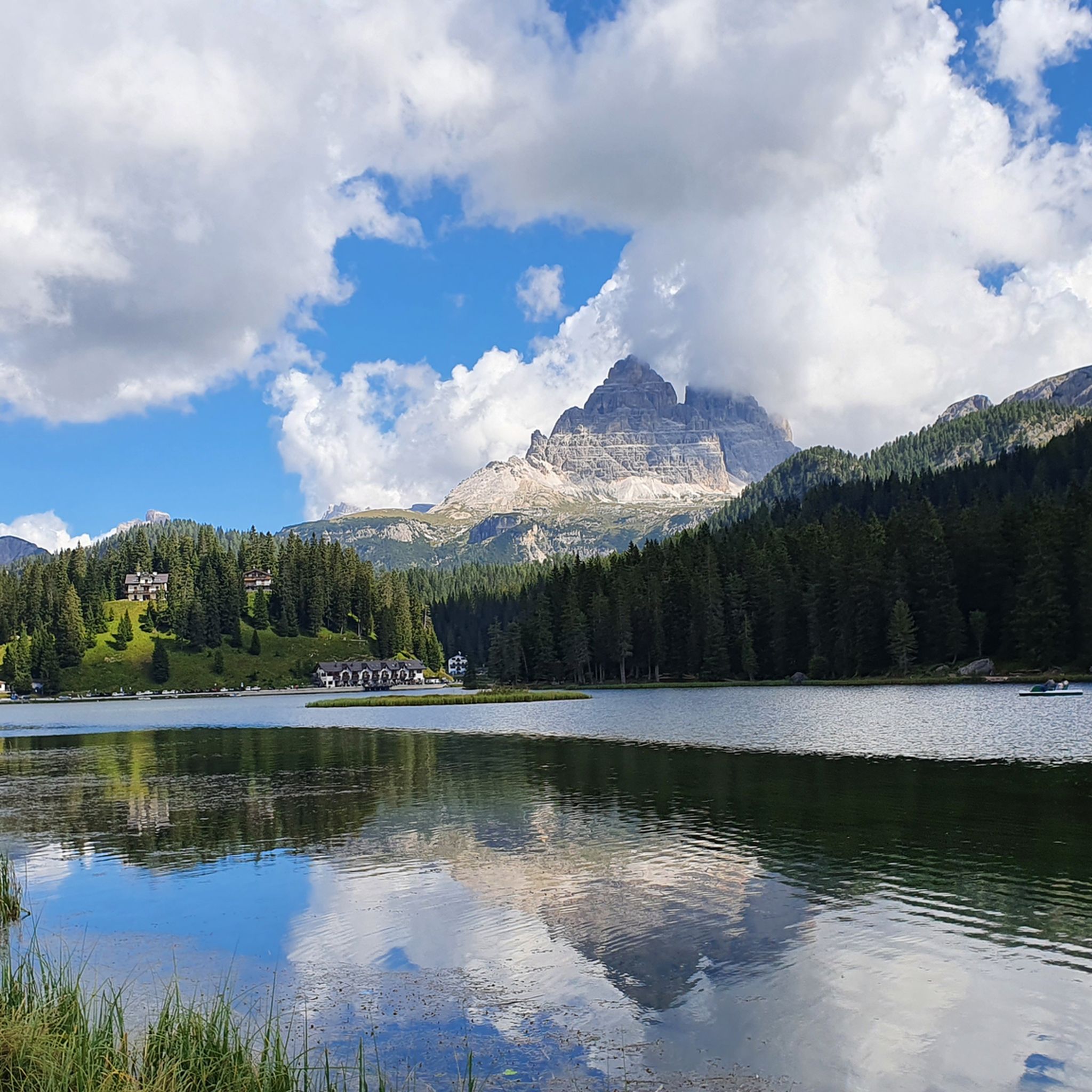
MTB Trails around Lake Misurina
Running Trails around Lake Misurina

Gravel biking around Lake Misurina
Other adventures around Lake Misurina


Tips from the Community

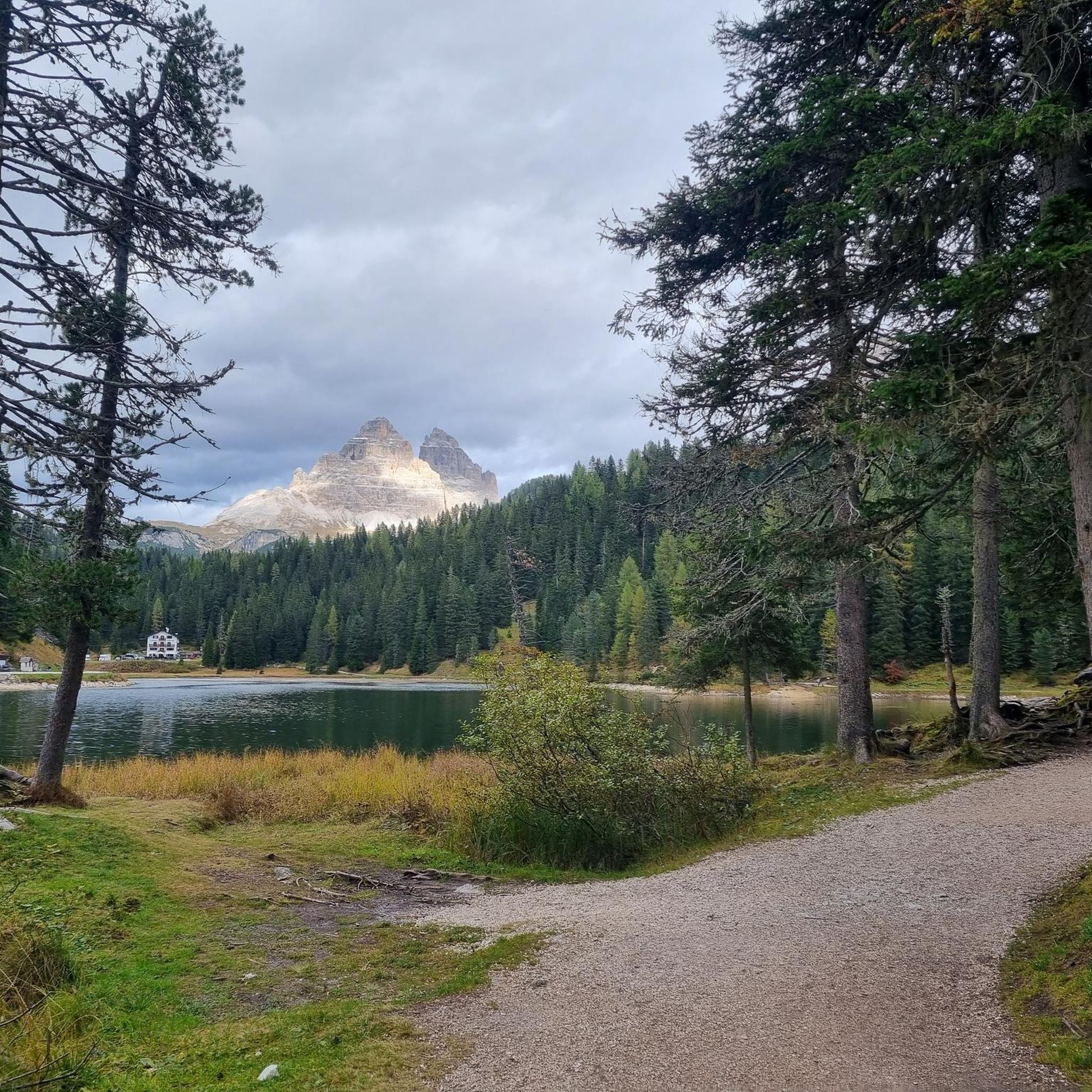
Lake Misurina is one of the most famous and photographed lakes in the Dolomites, located in the town of Misurina, within the municipality of Auronzo di Cadore (province of Belluno, Italy), at an altitude of 1,754 meters.
10
0

The small church Madonna della Salute is located in Misurina near the ‘Col de Varda’ chairlift. It was built in 1899–1900 by the then owner company of the Grande Albergo Misurina. On August 26, 1900, Father Da Rin consecrated the church in the presence of Queen Margherita of Savoy and celebrated the first mass there. The church was adorned with an altarpiece by Tommaso Da Rin, depicting the Madonna della Salute. This was lost during the Austrian invasion in 1917–1918 and was replaced in 1923 by a similar painting by Pio Solero.
0
0

The Patern Saddle, also known as Forcella Lavaredo, lies at an altitude of approximately 2,454 meters between the Lavaredo Hut and the Dreizinnen Hut. It is one of the most famous viewpoints in the Sesto Dolomites and offers direct views of the imposing north faces of the Three Peaks. The pass is easily accessible, usually via the hiking trail from the Auronzo Hut, and is considered a key point on the classic circular route around the Three Peaks. Thanks to its location, it is not only a popular photo opportunity but also a place to linger before continuing on to the surrounding huts or embarking on more challenging mountain tours.
29
0
The Lavaredo Hut is located at an altitude of approximately 2,344 meters at the foot of the Three Peaks. It is a popular stopover on the classic circular trail around the peaks and can be reached from the Auronzo Hut in less than half an hour on foot. The terrace offers a striking panorama of the north faces of the Three Peaks and the surrounding Dolomite peaks.
39
0
From the Rifugio Auronzo, a stunning panorama opens up: striking peaks tower into the sky, while the changing colors of sunrise and sunset bathe the rocks in a special light. Those who want to experience this atmosphere uninterrupted should arrive early in the morning—later in the day, the place quickly fills with visitors.
41
0


The Pale di Misurina are a mountain group in the eastern Dolomites, located near the famous Misurina lake, in the Sesto Dolomites, in the province of Belluno. Known for their particular rock formation, the Pale are characterized by vertical walls, jagged ridges and spectacular limestone pinnacles that stand out in the sky, offering a breathtaking view typical of the Dolomites.
0
0
On the former war road on the south side of the Three Peaks and below the Cadini Group (Cadini di Misurina) is the Cappella degli Alpini (2314 metres), which was only built in 1928.
40
0
Frequently Asked Questions
How many mountaineering routes are available around Lake Misurina?
There are over 70 mountaineering routes around Lake Misurina listed on komoot, offering a wide range of experiences for different skill levels.
What is the overall difficulty level of mountaineering routes in the Lake Misurina area?
The majority of mountaineering routes around Lake Misurina are considered difficult, with 57 routes falling into this category. There are also 12 moderate routes and 1 easy route available, ensuring options for various experience levels.
What do other mountaineers say about the routes around Lake Misurina?
The routes in Lake Misurina are highly rated by the komoot community, with an average score of 4.7 stars from over 490 reviews. Mountaineers often praise the majestic mountain scenery, the challenging ascents, and the panoramic views of iconic peaks like the Tre Cime di Lavaredo.
Are there any beginner-friendly mountaineering routes near Lake Misurina?
While most routes are challenging, there is at least one easy mountaineering route and 12 moderate routes available. These moderate options, such as the Dolomites Mountain Scenery – Lavaredo Hut loop from Lago di Misurina, offer expansive views without extreme technical difficulty, making them suitable for those with some experience.
Where can I find challenging mountaineering routes around Lake Misurina?
For experienced mountaineers seeking a challenge, the Lake Misurina area offers 57 difficult routes. Options include the Rifugio Col de Varda – Section of equipped trail loop from Lago di Misurina, which features equipped sections, or the Dolomites Mountain Scenery – View of Tre Cime di Lavaredo loop from Lago di Misurina for spectacular views and significant elevation gain.
Are there circular mountaineering routes available from Lake Misurina?
Yes, many mountaineering routes around Lake Misurina are designed as loops, allowing you to start and end at the same point. Examples include the Dolomites Mountain Scenery – Lavaredo Hut loop and the Rifugio Fonda Savio loop, both starting from Lago di Misurina.
What are some longer mountaineering routes for a full-day adventure?
For a longer, full-day mountaineering experience, consider routes like the Rifugio Col de Varda – Section of equipped trail loop, which covers 17.1 km (10.6 miles) and typically takes over 7 hours. Another excellent option is the Dolomites Mountain Scenery – View of Tre Cime di Lavaredo loop, spanning 17.9 km (11.1 miles) and requiring around 6 hours 53 minutes.
Is there parking available for mountaineering excursions near Lake Misurina?
Yes, Lake Misurina serves as a convenient starting point for many excursions. There is a panoramic toll road leading to Rifugio Auronzo, which is a common base for hikes to the Tre Cime di Lavaredo, implying parking facilities in the vicinity. Parking is generally available, though it can be busy during peak season.
What is the best time of year for mountaineering around Lake Misurina?
The best time for mountaineering around Lake Misurina is typically from late spring to early autumn (June to September) when trails are clear of snow and weather conditions are generally stable. In winter, the area transforms into a destination for snowshoeing, cross-country skiing, and ski mountaineering, offering a different kind of alpine adventure.
Are there any interesting landmarks or attractions to see along the mountaineering routes?
Absolutely! The Lake Misurina area is rich in natural beauty and landmarks. You'll be surrounded by majestic peaks like the Cadini Group, Mount Cristallo, and the iconic Tre Cime di Lavaredo. The crystal-clear waters of Lake Misurina itself are a highlight. Many routes offer views of these mountains and pass by charming rifugios (mountain huts) and other scenic points.
Can I reach other mountain huts from Lake Misurina?
Yes, Lake Misurina is an excellent base for reaching several mountain huts. For example, the Rifugio Col de Varda – Rifugio Città di Carpi loop will take you to Rifugio Col de Varda and Rifugio Città di Carpi. Many other routes lead to huts like Rifugio Auronzo, which is a popular starting point for Tre Cime di Lavaredo hikes.
What kind of natural features can I expect to see while mountaineering in this region?
Mountaineering around Lake Misurina offers diverse natural features. You'll encounter the dramatic rock formations of the Dolomites, high-altitude alpine lakes, and lush forests. The area is known for its unique microclimate and exceptionally pure mountain air. The stunning reflections of the surrounding peaks in the lake's waters are a particularly beautiful sight.
Most popular routes around Lake Misurina
Most popular attractions around Lake Misurina

Get inspired with the komoot mobile app


Explore more
Browse the best Mountain Hikes & Routes in other regions.
