The best MTB trails around Lake Beauregard
4.7
(36)
253
riders
9
rides
Mountain biking around Lake Beauregard offers a network of trails within the alpine environment of the Aosta Valley. The region is characterized by its high-altitude landscapes, featuring forests, meadows, and mountain pastures. Riders can expect a mix of challenging climbs and thrilling descents through varied terrain. This area provides diverse mountain bike trails suitable for different skill levels.
Best mountain bike trails around Lake Beauregard
- The most popular mountain bike trail is Refuge de L'Epée – Chalet de l'Epée Hut…
Last updated: October 9, 2026
12
riders
12.4km
01:01
290m
290m
Easy mountain bike ride. Great for any fitness level. Suitable for all skill levels.
8
riders
13.8km
01:32
540m
540m
Moderate mountain bike ride. Good fitness required. Suitable for all skill levels.

5.0
(2)
34
riders
20.7km
02:50
900m
900m
Hard mountain bike ride. Very good fitness required. Advanced riding skills necessary. Some portions of the route may require you to push your bike.
5.0
(1)
20
riders
18.7km
01:43
580m
580m
Hard mountain bike ride. Good fitness required. Advanced riding skills necessary. Some portions of the route may require you to push your bike.
5.0
(1)
9
riders
12.7km
01:50
650m
650m
Hard mountain bike ride. Good fitness required. Advanced riding skills necessary. Some portions of the route may require you to push your bike.
Get access to more routes and recommendations from other explorers.
Already have an account?
Our route recommendations are based on thousands of hikes, rides, and runs completed by other people on komoot.
Start today with a free account
Your next adventure awaits.
Tips from the Community

After a well-walkable ascent from the valley, s8ch hoer offers the opportunity for refreshment. From here there are various options to continue the tour.
0
0

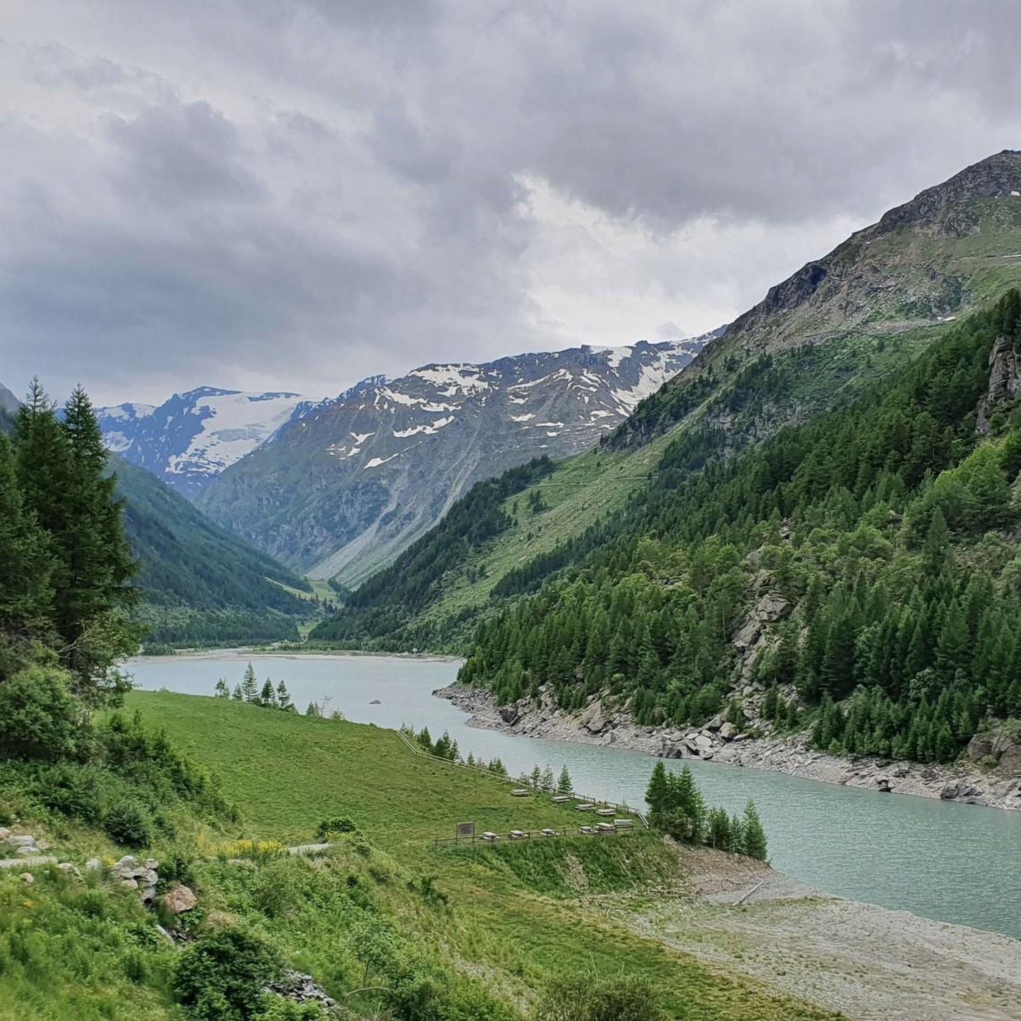
Usellières is the last place reachable by road in the upper part of Valgrisenche. Surrounded by woods, pastures and alpine peaks, it is located in a secluded and quiet environment, at the foot of the Rutor massif and its glaciers. From here the valley closes and continues only with paths.
1
0

The Rifugio de L'Epée, opened in 1988 by brothers Ivo and Dario Gerbelle, welcomes hikers from mid-June to late September. The trail to the refuge passes through a majestic forest of ancient larch trees and offers spectacular views of the Bouc Valley, Punta Rabuigne, the Lepère Glacier, and the Becca di Mont Forciaz.
1
0

For more information, here's a link to the video of the trip: https://www.youtube.com/watch?v=8aHQbtMu-fA&feature=youtu.be
0
0

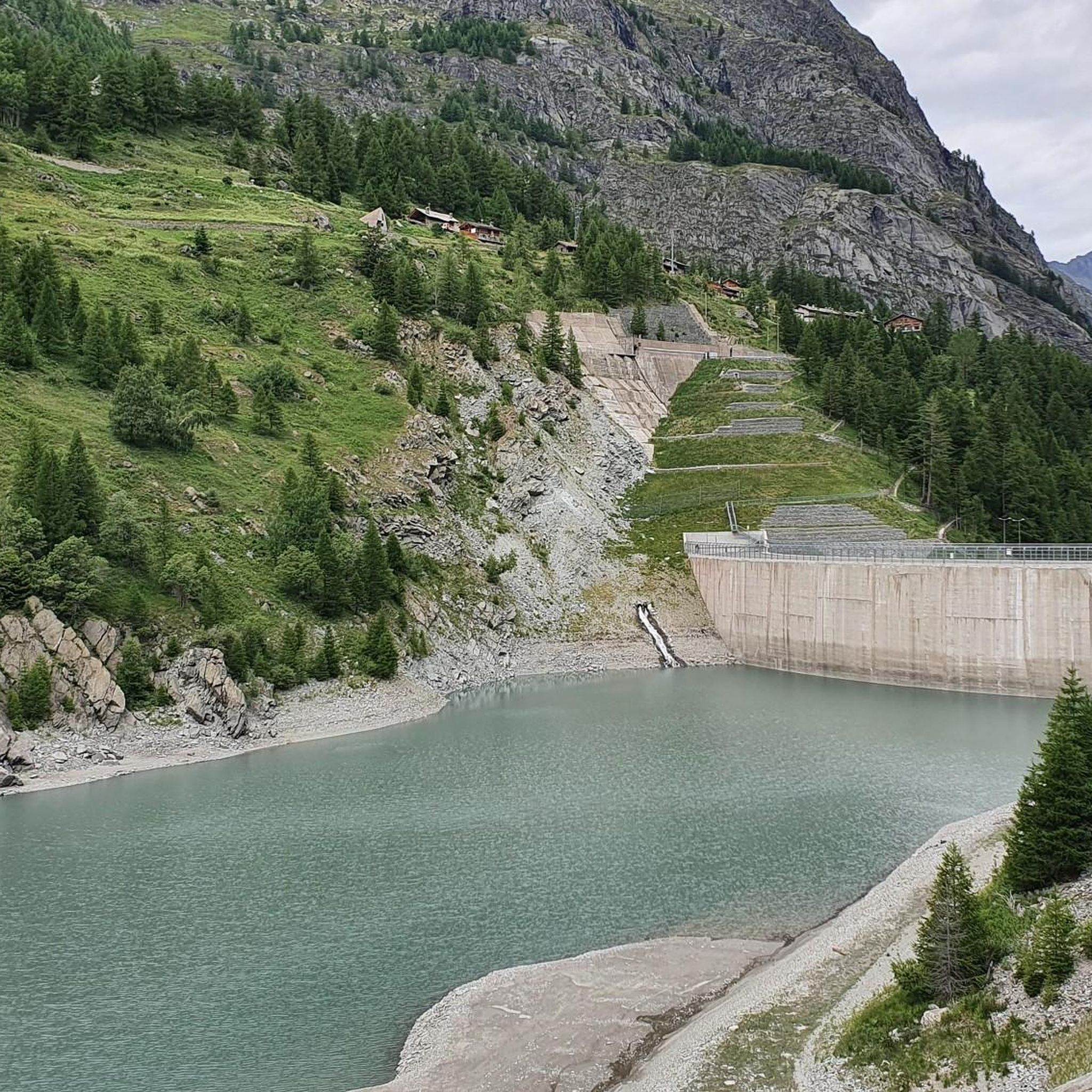
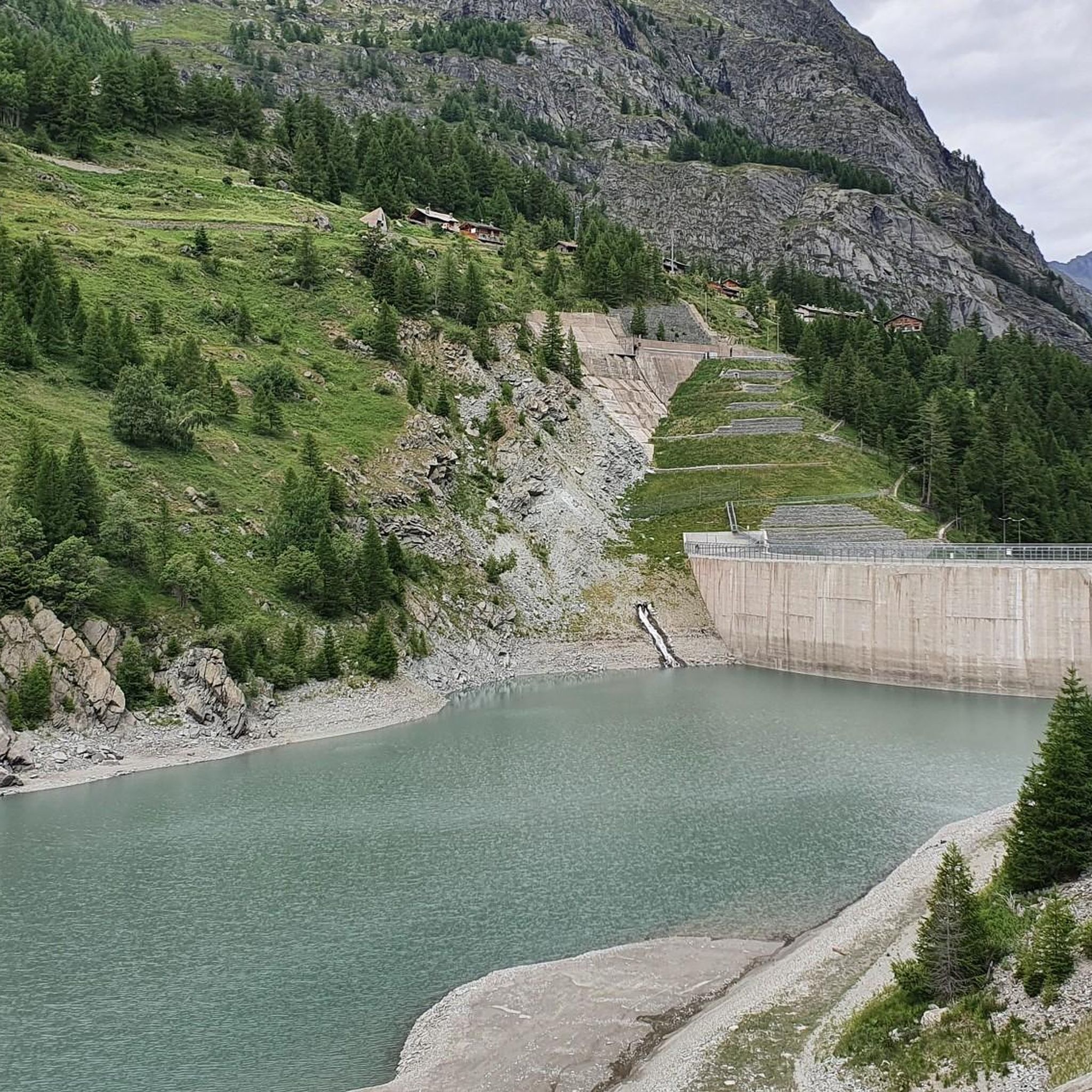
One of Italy's most ambitious energy engineering projects, yet never fully exploited: landslides similar to those of Vajont were detected right from the initial tests, and the capacity was limited from the planned 70 million cubic meters to just 2 million (which is why the village of Fornet, re-emerged from the lake's waters, is still visible). Due to the dam's failure to utilize its full capacity, it was lowered by 52 meters between 2011 and 2015.
0
0
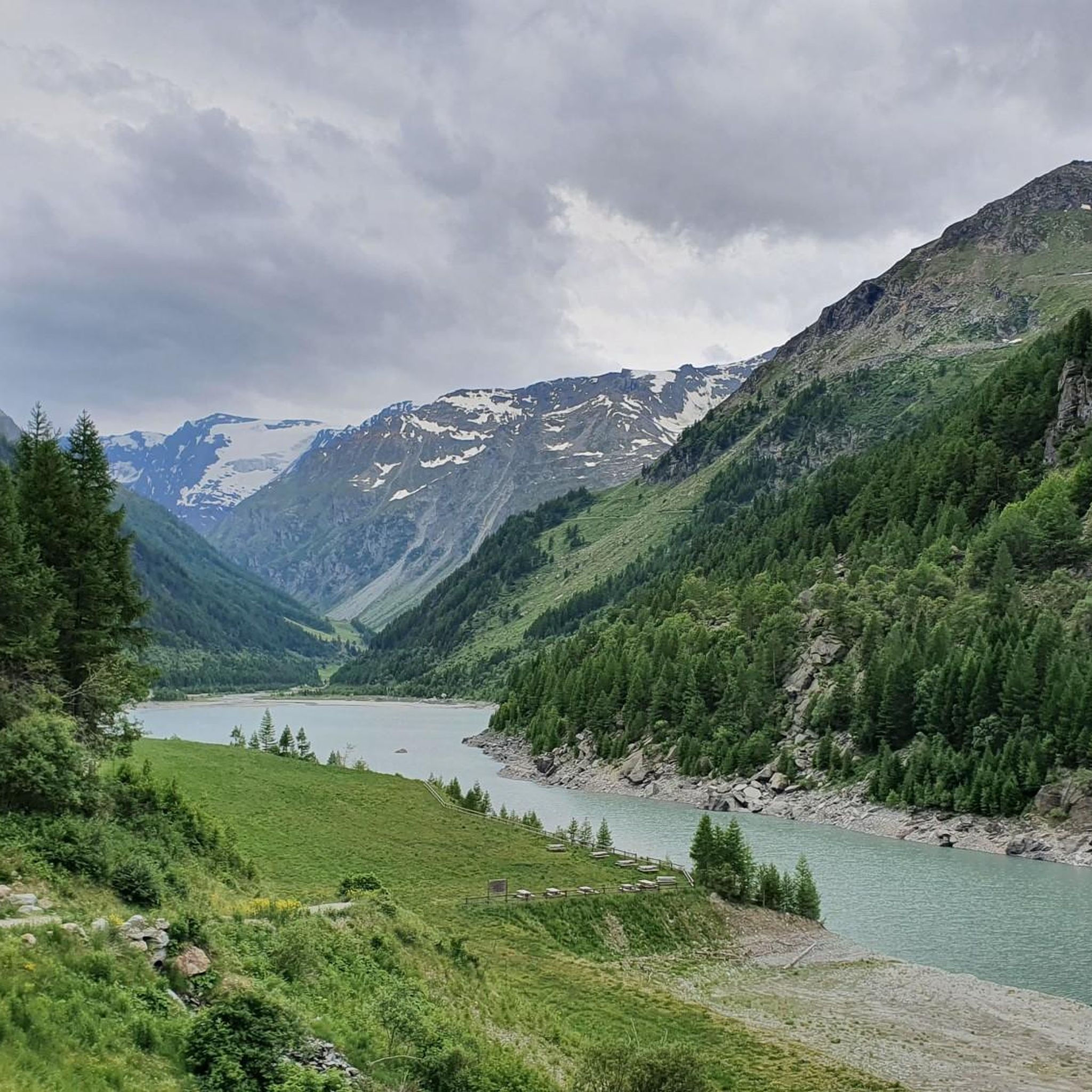
A clearing at the end of the Valgrisenche road, from here you can enjoy an excellent view of the artificial lake and the surrounding mountains.
1
0
Very irregular and decidedly challenging climb, especially in the initial kilometres which have steep gradients and, for over a kilometre, greater than 10%.
1
0

the beautiful dirt road that runs along the Beauregard Lake, starting from the dam wall up to Usellieres
0
0
Frequently Asked Questions
What kind of terrain can I expect on mountain bike trails around Lake Beauregard?
The mountain bike trails around Lake Beauregard, located in the Aosta Valley, Italy, traverse a diverse alpine environment. You can expect a mix of forest paths, farm roads, and single tracks. The region is characterized by high-altitude landscapes, featuring woods, meadows, and mountain pastures, offering both challenging climbs and thrilling descents.
Are there easy mountain bike trails suitable for beginners around Lake Beauregard?
While the Aosta Valley offers trails for various skill levels, the routes specifically highlighted around Lake Beauregard tend towards moderate to difficult. According to our data, there are currently no easy-rated mountain bike trails listed in this immediate area, with one moderate and four difficult routes available. Riders should be prepared for challenging terrain.
What are some of the longer or more challenging mountain bike routes in the area?
For those seeking a challenge, routes like Valgrisenche – Refuge de L'Epée loop from Planaval offer a substantial ride of 23.7 miles (38.2 km) with significant elevation gain. Another difficult option is Rifugio de L'Epée – Rifugio Chalet de l'Enze loop from Valgrisenche, which is 12.8 miles (20.6 km) and navigates through demanding high-altitude terrain.
What natural features or viewpoints can I expect to see along the trails?
The Aosta Valley is renowned for its stunning alpine scenery. As you ride, you'll be immersed in woods, meadows, and mountain pastures. The region is home to four 4000-meter peaks and glaciers, offering breathtaking panoramic views. Keep an eye out for the Dora di Rhêmes Waterfall, which is part of the route Rifugio G. Federico Benevolo – Dora di Rhêmes Waterfall loop from Frassiney.
What is the best time of year for mountain biking around Lake Beauregard?
Given the alpine environment of the Aosta Valley, the best time for mountain biking is typically during the warmer months, from late spring to early autumn. During this period, trails are generally free of snow, and weather conditions are more favorable for high-altitude riding. Always check local weather forecasts before heading out.
Are there any loop trails available for mountain biking?
Yes, many of the mountain bike routes around Lake Beauregard are designed as loops, allowing you to start and finish in the same location. Examples include Refuge de L'Epée – Chalet de l'Epée Hut loop from Valgrisenche and Rifugio G. Federico Benevolo – Dora di Rhêmes Waterfall loop from Frassiney.
How long do the mountain bike trails typically take to complete?
The duration varies significantly depending on the trail's length and difficulty, as well as your fitness level. For instance, the moderate Refuge de L'Epée – Chalet de l'Epée Hut loop from Valgrisenche typically takes around 2 hours 40 minutes, while the longer, difficult Valgrisenche – Refuge de L'Epée loop from Planaval can take approximately 3 hours 47 minutes.
What do other mountain bikers enjoy most about mountain biking in Lake Beauregard?
The mountain biking experience around Lake Beauregard is highly rated by the komoot community, with an average score of 4.7 stars from over 60 reviews. Riders frequently praise the stunning alpine scenery, the challenging yet rewarding terrain, and the immersive experience of riding through unspoiled valleys, forests, and mountain pastures.
Are there any specific permits required for mountain biking in the Aosta Valley?
Generally, no specific permits are required for mountain biking on designated trails in the Aosta Valley. However, it's always advisable to respect local regulations, stay on marked paths, and be mindful of private property or protected areas. There are no indications of special permits needed for the routes listed.
Can I find places to eat or stay near the mountain bike trails?
The Aosta Valley is a well-established alpine region with various towns and villages. While specific establishments aren't listed in the trail data, you can typically find accommodation, restaurants, and cafes in nearby communities like Valgrisenche or Planaval, which serve as starting points for several routes. These areas cater to outdoor enthusiasts.
Is the Lake Pellaud trail suitable for mountain biking?
Yes, the Lake Pellaud from Chanavey Trail is a mountain bike route. It is rated as difficult, covering a distance of 5.7 km with moderate elevation changes, making it a shorter but still challenging option for experienced riders.
Most popular routes around Lake Beauregard

Get inspired with the komoot mobile app


Explore more
Browse the best MTB trails in other regions.
