The best mountain hikes around Lake Agnel
4.9
(39)
989
hikers
4
hikes
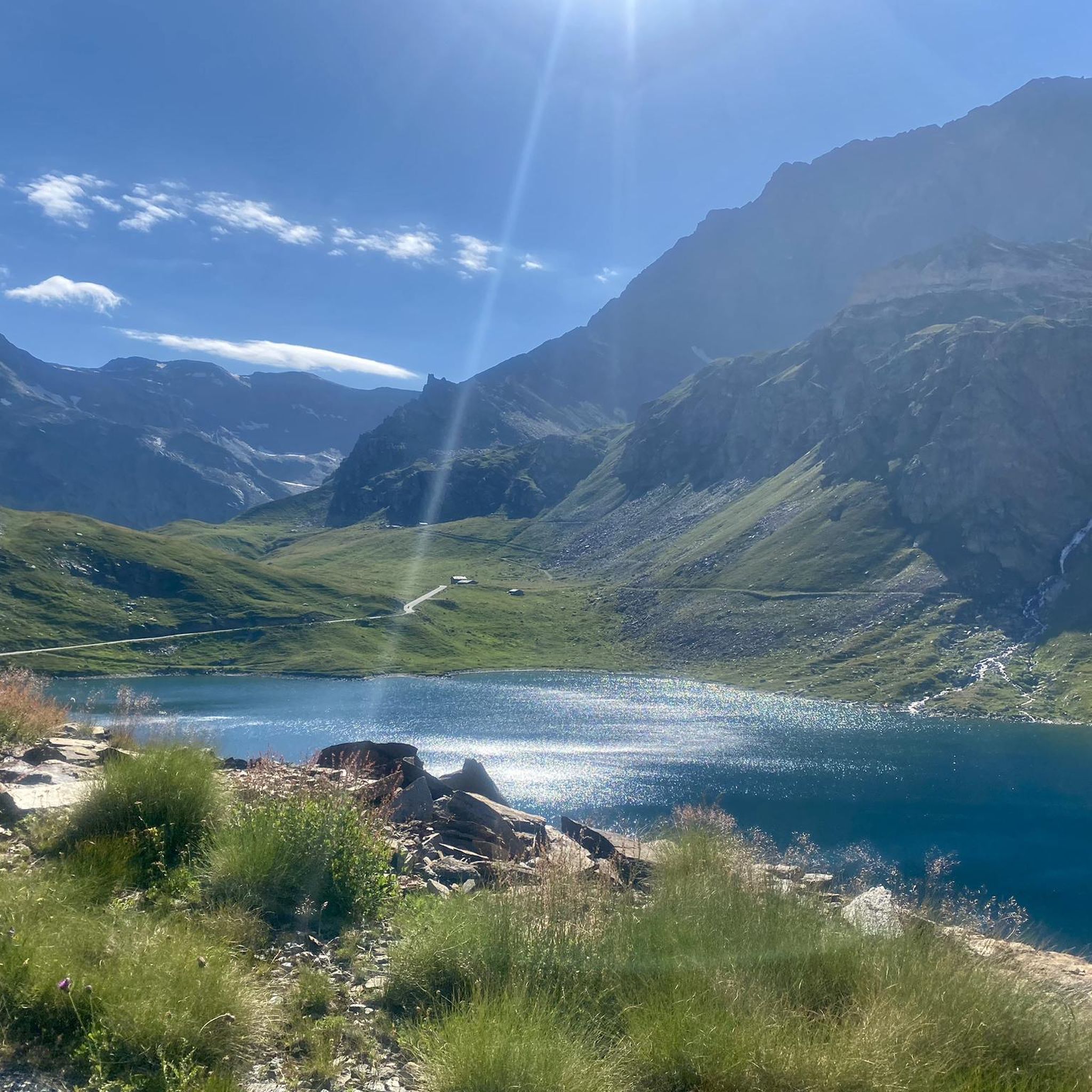
Mountaineering routes around Lake Agnel are situated within Italy's Gran Paradiso National Park, an alpine environment characterized by towering peaks and high-altitude lakes. The region features rugged terrain, including moraines and rocky shores, with elevations reaching up to 4,061 meters at Mount Gran Paradiso. Lake Agnel itself is an artificial reservoir at 2,295 meters, surrounded by the Graian Alps.
Best mountaineering routes around Lake Agnel
- The most popular mountaineering route is Punta Basei Summit Cross – Col de Basei loop…
Last updated: October 18, 2026
5.0
(2)
8
hikers
10.4km
05:02
710m
710m
Hard mountaineering route. Very good fitness required. Sure-footedness, sturdy shoes and alpine experience required.
4.7
(15)
537
hikers
Moderate mountaineering route. Good fitness required. Mostly accessible paths. Sure-footedness required.

5.0
(8)
24
hikers
11.2km
05:43
860m
860m
Hard mountaineering route. Very good fitness required. Mostly accessible paths. Sure-footedness required.
5.0
(1)
10
hikers
12.3km
05:10
710m
710m
Hard mountaineering route. Very good fitness required. Sure-footedness, sturdy shoes and alpine experience required.
4.5
(11)
329
hikers
8.86km
06:51
1,190m
1,190m
Hard mountaineering route. Very good fitness required. Sure-footedness, sturdy shoes and alpine experience required.
Our route recommendations are based on thousands of hikes, rides, and runs completed by other people on komoot.
Start today with a free account
Your next adventure awaits.
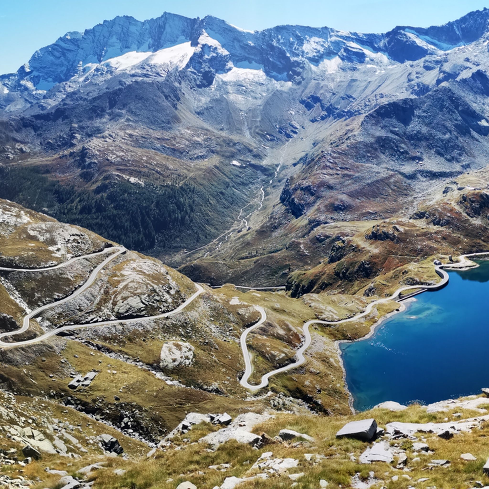
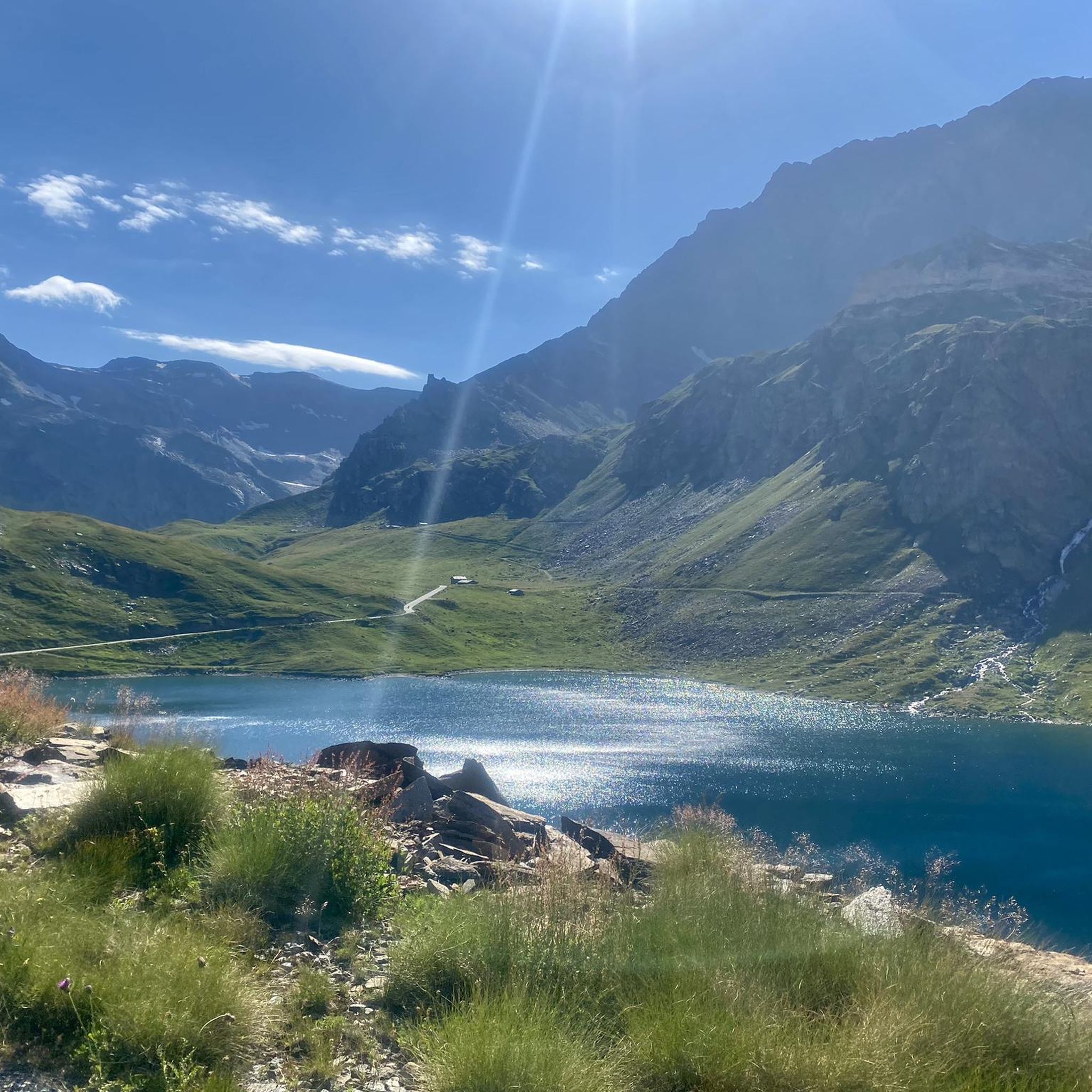
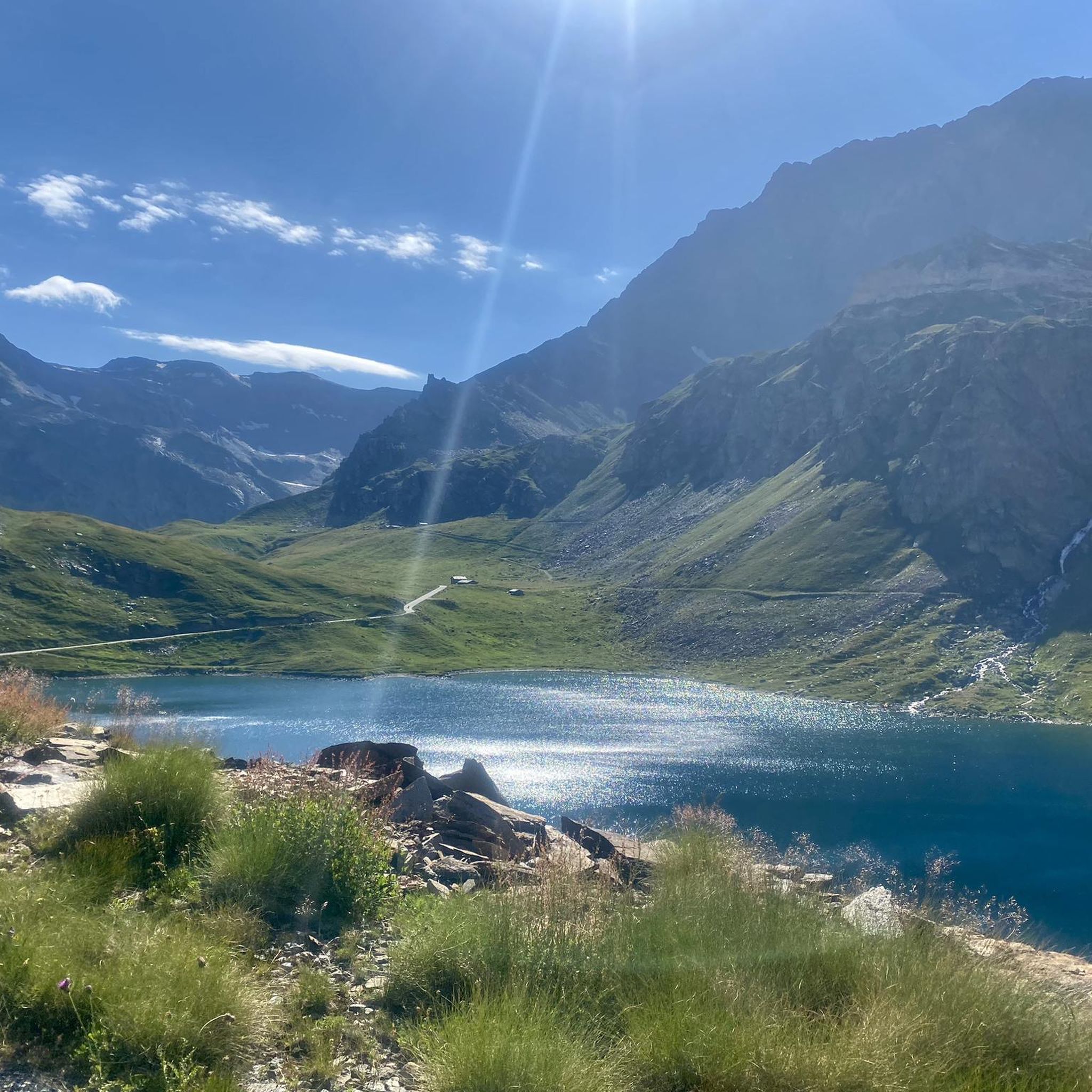
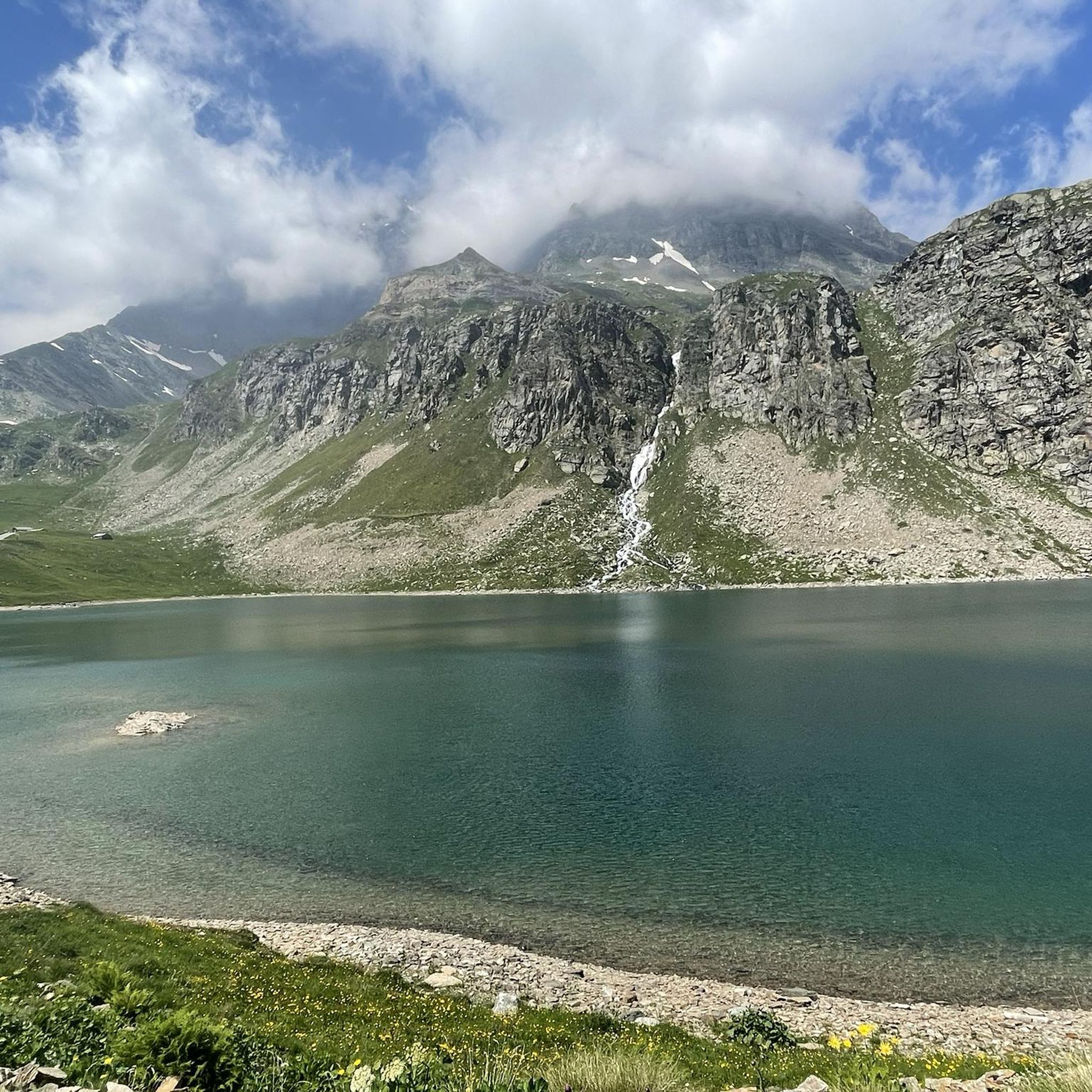
Tips from the Community

Very beautiful view, hike with a bikepacking bike of 25kg was quite a challenge.
0
0

beautiful here, simply fantastic
0
0
wonderful here, simply fantastic
0
0
wonderful here, simply fantastic
2
0
beautiful here, simply fantastic
2
0
beautiful here, simply fantastic
2
1
Frequently Asked Questions
What is the general difficulty level of mountaineering routes around Lake Agnel?
The mountaineering routes around Lake Agnel cater to various skill levels, though the majority are considered difficult. Out of the 7 routes listed, 6 are rated as difficult, while one is moderate. This reflects the high-alpine environment within Gran Paradiso National Park, often involving significant elevation gain and rugged terrain.
Are there any moderate mountaineering routes suitable for those with some experience?
Yes, there is a moderate mountaineering route available. Consider the Rifugio Tetras Lyre – Rifugio Vittorio Emanuele II loop from Rifugio Vittorio Emanuele II Nuovo. This 7.8 km route involves about 700 meters of elevation gain and descent, offering a challenging yet manageable experience for those with prior alpine hiking or mountaineering experience.
How long do mountaineering routes around Lake Agnel typically take to complete?
The duration of mountaineering routes around Lake Agnel varies depending on the specific trail and your pace. For example, the difficult Punta Basei Summit Cross – Col de Basei loop from Colle del Nivolet typically takes around 5 hours 10 minutes for its 10.2 km distance. Longer routes, such as the Roley Cross – Ruins of Gran Collet loop from Le Breuil, which spans 17.8 km, can take significantly longer, often around 6 hours 38 minutes.
What is the best season for mountaineering in the Lake Agnel area?
The best season for mountaineering around Lake Agnel is generally from late spring to early autumn (June to September). During this period, snow has largely melted from lower and mid-altitudes, and the weather is more stable. However, conditions can change rapidly in the high mountains, so always check forecasts and be prepared for varying weather.
Are there any circular mountaineering trails around Lake Agnel?
Yes, many of the mountaineering routes around Lake Agnel are designed as loops, allowing you to return to your starting point without retracing your steps. Examples include the Punta Basei Summit Cross – Col de Basei loop from Colle del Nivolet and the Mauro Memorial Cross – Grand Collet (2832 m) loop from Le Breuil, both offering diverse scenery on their circular paths.
What kind of wildlife can I expect to see while mountaineering in Gran Paradiso National Park?
Gran Paradiso National Park is renowned for its rich biodiversity. While mountaineering, you have excellent opportunities to spot marmots, chamois, and ibex in their natural habitat. Golden eagles and other birds of prey are also frequently seen soaring above the peaks. Keep a respectful distance and observe quietly to maximize your chances.
Are there any specific permits required for mountaineering in Gran Paradiso National Park?
Generally, specific mountaineering permits are not required for hiking or standard mountaineering routes within Gran Paradiso National Park. However, it's always advisable to check the official Gran Paradiso National Park website for the most up-to-date regulations, especially if planning to access sensitive areas or undertake specific activities. Staying in mountain refuges often requires advance booking.
What are some notable natural features or landmarks to look out for on these routes?
The region is rich in stunning natural features. You'll encounter high-altitude alpine lakes, including Lake Agnel itself with its turquoise waters, and other Nivolet Lakes. The routes often offer panoramic views of the Graian Alps, and you might pass through areas known for marmot spotting, such as on the Marmot Spotting Area – Roley Cross loop from Le Breuil. The Nivolet Pass (Colle del Nivolet) is also a key access point with breathtaking vistas.
What do other mountaineers enjoy most about the routes around Lake Agnel?
The mountaineering routes around Lake Agnel are highly rated by the komoot community, with an average score of 4.7 stars from over 40 reviews. Reviewers often praise the stunning alpine landscapes, the challenging yet rewarding terrain, and the opportunities for wildlife observation. The sense of being deep within the pristine Gran Paradiso National Park is a recurring highlight.
Is public transport available to reach the trailheads near Lake Agnel?
Access to the high-altitude trailheads around Lake Agnel, particularly those near Colle del Nivolet, can be challenging via public transport. While some seasonal bus services might operate to the general Gran Paradiso area, direct public transport to specific remote trailheads like those starting from Colle del Nivolet or Le Breuil is limited. It's often necessary to rely on private vehicles or local taxi services to reach these starting points.
Are there options for parking near the mountaineering trailheads?
Yes, parking is generally available near the main access points and trailheads, such as at Colle del Nivolet or Le Breuil, which serve as starting points for many routes. However, during peak season, these parking areas can fill up quickly, so it's advisable to arrive early, especially for popular routes. Always ensure you park in designated areas to avoid fines and respect the natural environment.
Are there any family-friendly hiking routes in the Lake Agnel area?
While the listed mountaineering routes around Lake Agnel are predominantly difficult or moderate, making them less suitable for young children or beginners, the broader Gran Paradiso National Park offers a range of easier hiking options. For family-friendly walks, you might need to explore trails at lower altitudes or shorter, less strenuous paths around the Nivolet Lakes, which are often incorporated into scenic routes but require good fitness and sure-footedness for their full extent.
What should I wear and bring for mountaineering in this region?
Given the high-alpine environment, it's crucial to be well-prepared. Essential gear includes sturdy mountaineering boots, layered clothing (including waterproof and windproof outer shells), a hat, gloves, sunglasses, and sun protection. Always carry sufficient water, high-energy snacks, a first-aid kit, a map, compass or GPS device, and a headlamp. For difficult routes, crampons and an ice axe might be necessary, especially early or late in the season, or if glacier travel is involved.
Most popular routes around Lake Agnel
Most popular attractions around Lake Agnel

Get inspired with the komoot mobile app


Explore more
Browse the best Mountain Hikes & Routes in other regions.
