The best cycling routes around Lake Cama
4.8
(52)
808
riders
16
rides
Touring cycling routes around Lake Cama traverse a landscape characterized by river valleys and hills. The region features varied terrain, from lower elevations along waterways to more challenging ascents into the surrounding hills. This area offers a mix of paved roads and paths suitable for touring cyclists.
Best touring cycling routes around Lake Cama
- The most popular touring cycling route is Norantola Castle Ruins – Lostallo Village loop from Cama, a 13.6 miles (21.8 km) trail that takes 1…
Last updated: July 6, 2026
17
riders
26.0km
01:40
300m
300m
Moderate bike ride. Good fitness required. Mostly paved surfaces. Suitable for all skill levels.
6
riders
22.2km
01:36
410m
410m
Cycle the moderate Graubünden Route, a 13.8-mile (22.2 km) touring cycling trail in Parco Val Calanca with Alpine views and waterfalls.

Sign up for free
5.0
(1)
16
riders
36.0km
02:51
880m
880m
Hard bike ride. Very good fitness required. Mostly paved surfaces. Suitable for all skill levels.
7
riders
11.4km
00:46
100m
100m
Easy bike ride. Great for any fitness level. Mostly paved surfaces. Suitable for all skill levels.
5.0
(5)
62
riders
40.9km
03:05
1,020m
1,020m
Hard bike ride. Very good fitness required. Mostly paved surfaces. Suitable for all skill levels.
Get access to more routes and recommendations from other explorers.
Sign up for free
Already have an account?
Our route recommendations are based on thousands of hikes, rides, and runs completed by other people on komoot.
Start today with a free account
Your next adventure awaits.
Login or Signup
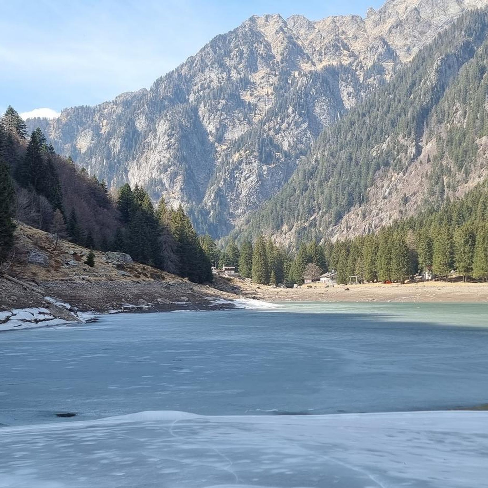
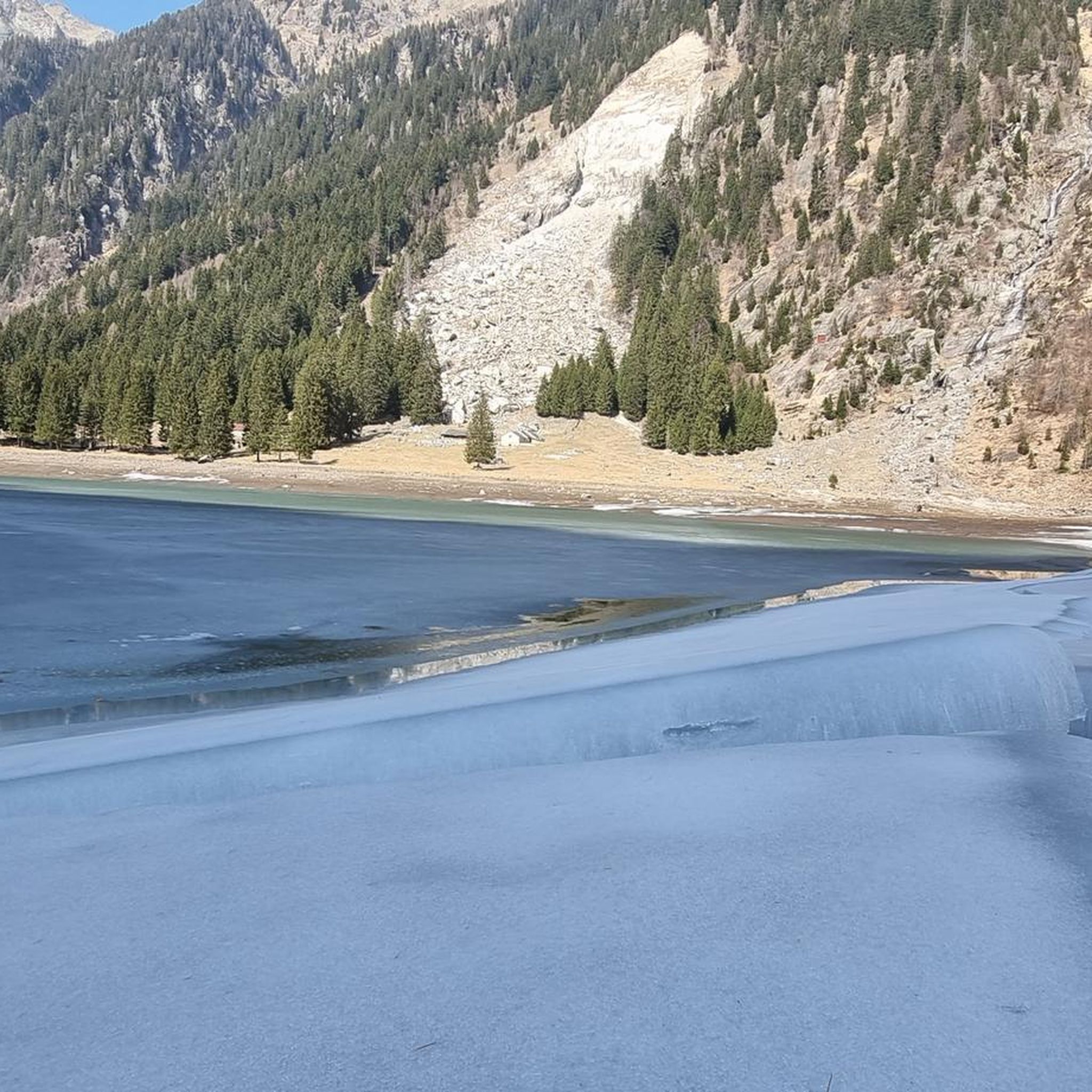
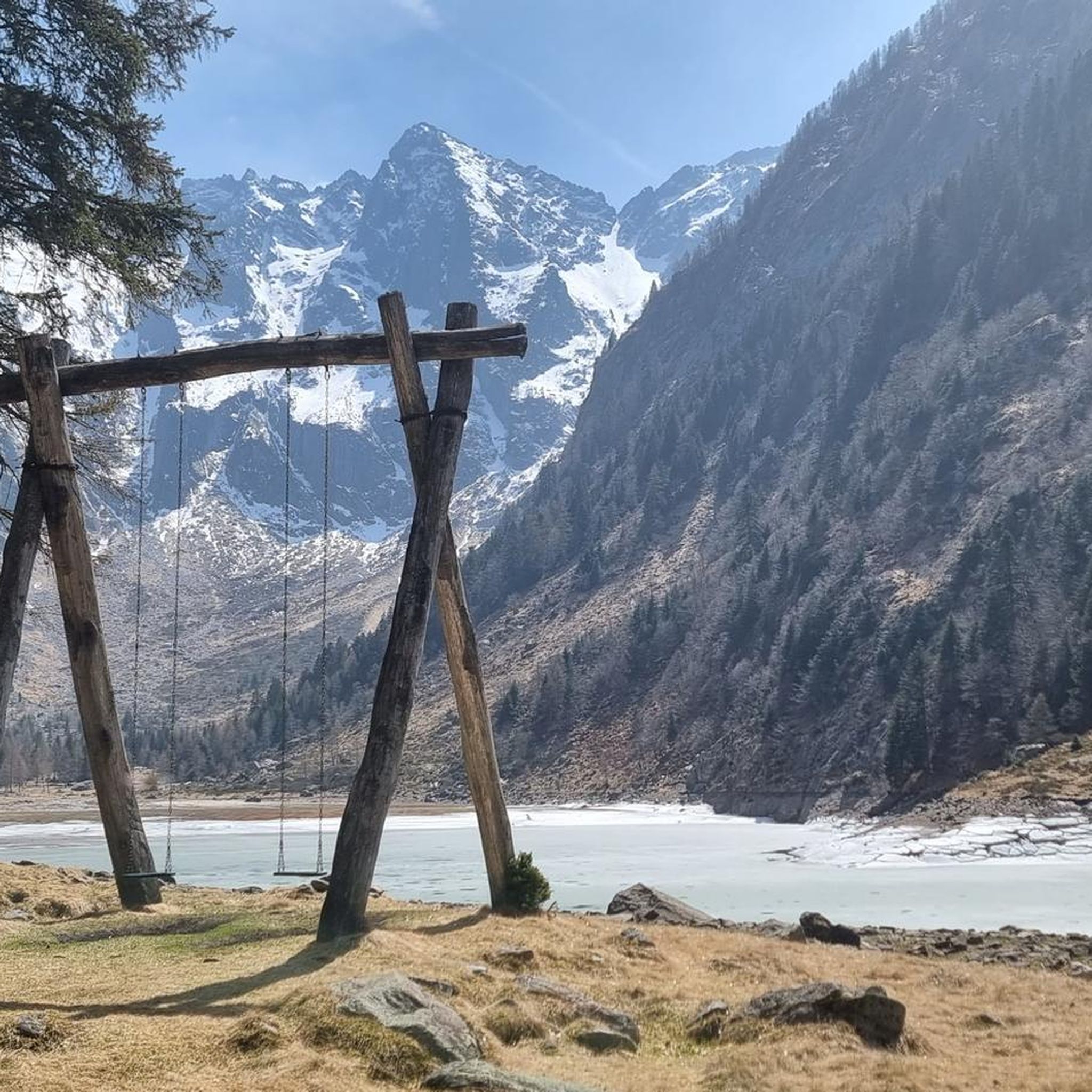
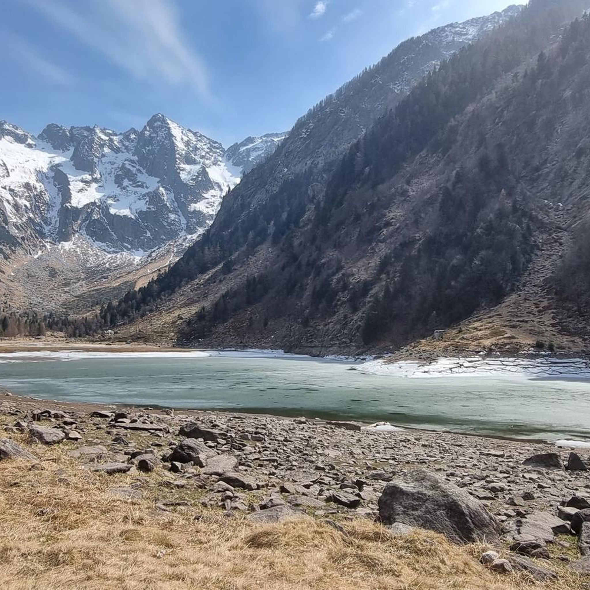
Tips from the Community

The railway line is now largely a cycle path
0
0
Beautiful nature and many views that cannot be seen from the pass road
0
0

Great atmosphere and beautiful view
0
0

Cappella Santa Maria Assunta Sorte / Lostallo On October 7, 1611, the chapel of Sorte was consecrated in honor of the Assumption of Mary into Heaven. The sacristy dates from 1656. If the bell, dating from 1526, does not come from another church, it is likely that a chapel existed earlier and was later replaced. The last restoration took place in 1960. The bell tower is covered with sails. The façade is decorated with frescoes in alternating registers in tympanum compositions, executed in 1611 by the same artist from Cabbiolo: Mary of the Assumption on the right flanked by kneeling women with Saint Margaret, and on the left by Saint George; above the blessing of the Eternal Father. Text / Source: Graubünden Holidays, Alexanderstrasse 24, Chur https://www.graubuenden.ch/de/ausflugsziele/cappella-santa-maria-assunta-sorte
14
0
Stage 7: San Bernardino – Bellinzona An exhilarating descent through the Mesolcina Valley. Eagerly absorbing the mild southern climate. In Mesocco, cyclists enjoy the largest ruin in Switzerland and, at the end of the tour, in Bellinzona, the defiant towers and walls of the tre castelli. Refreshed, they follow the rushing Moësa River out of the lively resort town of San Bernardino. The 46-kilometer-long tributary of the Ticino rises at the San Bernardino Pass and gives its name to the Mesolcina Valley (Misox). Although Italian is spoken in the valley, as in the Poschiavo and Bregaglia valleys, it has always maintained close ties to Graubünden. In the smaller villages, where many of the houses are covered with stone slabs, time seems to have stood still. You hardly stop on your bike during the rapid descent towards the south. Surrounded by rocky cliffs, you roar along a well-maintained road with countless skid marks. The highway, which practically hangs from the mountain, seems a bit surreal. Later, a varied side road leads down to Mesocco. Magnificent views of the valley are revealed. Below the village, perched on a rocky outcrop, are the ruins of the Castello di Mesocco, the 11th-century ancestral castle of the Count of Misox. It is considered one of the most important in Graubünden and the largest in Switzerland. Roveredo is the main town in the lower Misox Valley. And what could be nicer here than a break in a cool grotto, enjoying a typical lunch menu and a glass of local wine? The village also boasts several beautiful 17th-century houses, such as the one designed by local architect and builder Enrico Zuccalli. A secluded stretch follows near Lumino, just after crossing the highway and the river. A forest path leads along the Moësa River over hill and dale. Passing an inviting forest garden grotto and some secluded swimming spots, you reach Arbedo-Castione. Here, the Moësa flows into the Ticino River. Text / Source: Schweizmobil.ch https://schweizmobil.ch/de/veloland/route-6/etappe-7
14
0
Mesocco Castle San Bernardino Castle Mesolcina Calanca The ruins of Mesocco Castle stand on top of an imposing rocky hill that rises steeply from the valley floor. This imposing fortress stands in the center of the valley, forcing the Moesa River into a wide bend in a narrow, impassable gorge, leaving only a narrow passage to the west. Mesocco Castle is protected on three sides by steep cliffs. Only to the northeast, on the upstream side of the valley, does the slope slope more gently. Climbing up the old access road to the castle from the north side, you first reach the Church of St. Maria del Castello and are already on the castle grounds, which were once surrounded by a defensive wall. The impressive ruins consist mainly of the remains of defensive works built in the last decades of the 15th century, i.e., during the final phase of the castle's life. Among them are numerous ruins from earlier eras, so that the castle's current appearance reveals its eventful history, which has its roots in the early Middle Ages. Graubünden Ferien, Alexanderstrasse 24, 7001 Chur https://www.graubuenden.ch/de/ausflugsziele/castello-di-mesocco
14
0
Moësa (River) Moesa to Mesocco The Moësa rises at an altitude of approximately 2,245 meters above sea level on the Alpe Moesola above the San Bernardino Pass in the canton of Graubünden. After its source, it flows down to the top of the pass and feeds the first lake on its journey – the Laghetto Moesola – near the hospice. Leaving the lake at its southern end, it loses some elevation and then, at approximately 1,860 meters, joins the Riale Mucia stream from the right. A little later, the Moesa River also reaches the first village, San Bernardino (1,640 meters). It flows right through the center of the Graubünden village, merging with both the Ri de Fontanalba and Ri de Confin. While still in the village, it then flows into the Lago d'Isola reservoir. After the dam, the Moesa descends steeply, flowing through a gorge into the hamlet of Spina. It also shoots over the beautiful Moesa Waterfall and is joined by the Ri del Bech, Riale di Arbeola, and Riale de Spina streams. The Moesa now has a short distance to go to the village of Pian San Giacomo (1200 m), where it joins the Ri de Seda. After another steep drop and several tributaries (such as the Ri de Brion, Ri de Gratela, and Ri de Anzon), the river then reaches Mesocco (approx. 770 m). Text / Source: schweizerfluss.ch https://schweizerfluss.ch/moesa/
14
0

When cycling up route 6, the A13 eventually becomes the intermediate goal as one cycles up and up and comes closer in elevation to the highway.
0
0
Frequently Asked Questions
How many touring cycling routes are available around Lake Cama?
Komoot features over a dozen touring cycling routes around Lake Cama. These routes cater to various skill levels, including easy, moderate, and difficult options.
What is the best time of year for touring cycling in Lake Cama?
The Lake Cama area, located in California's Sierra Foothills, generally offers pleasant cycling conditions for much of the year. Spring and fall are often ideal, with milder temperatures. Summers can be warm, but the extensive shoreline and water activities provide opportunities to cool down. Winter cycling is possible, but check local conditions.
What kind of terrain can I expect on touring cycling routes around Lake Cama?
Touring cycling routes around Lake Cama traverse a diverse landscape of river valleys and hills. You'll find varied terrain, from lower elevations along waterways to more challenging ascents into the surrounding Sierra Nevada foothills. The area offers a mix of paved roads and paths, providing scenic views of the lake and its surroundings.
Are there touring cycling routes suitable for beginners or families in Lake Cama?
Yes, Lake Cama offers routes suitable for beginners and families. For an easier ride, consider the Picnic Area on the Moesa River – Bogiasch loop from Cama, which is 7.1 miles (11.4 km) long with minimal elevation gain. Additionally, paved roads within the campgrounds are suitable for bikes and scooters, offering a safe environment for family cycling.
Are there challenging touring cycling routes for experienced cyclists?
Absolutely. For experienced touring cyclists seeking a challenge, routes like From Grona to Rossa with visit to Buseno offer significant elevation gains over 40 km. Another difficult option is Santa Maria in Calanca via Route 26, which covers over 18 km with substantial climbing.
Are there any circular touring cycling routes around Lake Cama?
Yes, there are several circular routes available. A popular moderate option is the Norantola Castle Ruins – Lostallo Village loop from Cama, which is 13.6 miles (21.8 km) long. Another excellent loop for a more relaxed ride is the Picnic Area on the Moesa River – Bogiasch loop from Cama.
What do other touring cyclists enjoy the most about touring cycling in Lake Cama?
The touring cycling routes around Lake Cama are highly rated by the komoot community, with an average score of 4.8 stars from over 30 reviews. Cyclists often praise the varied terrain, which includes river valleys and hills, and the scenic views of the lake and surrounding Sierra Nevada foothills.
What are some scenic viewpoints or landmarks to look out for while cycling?
While cycling around Lake Cama, you can enjoy picturesque views of the lake itself and the surrounding Sierra Nevada foothills. The Mokelumne Coast to Crest Trail offers segments with excellent vistas. The Camanche Dam, which created the reservoir, is also a notable landmark. The extensive shoreline provides varied scenery, especially at the western end with its wide-open geography and the quieter eastern end beyond the narrows.
Are there places to eat or stay near the cycling routes?
Yes, Lake Camanche offers amenities for visitors. Both the North and South Shores have marinas with stores. The North Shore also features a cafe and an ice cream parlor. For accommodation, there are extensive camping options year-round, including tent sites, RV sites with full hookups, and rental cottages. These often include amenities like picnic tables, fire rings, restrooms, hot showers, and laundry facilities.
Is there parking available for cyclists at Lake Cama?
Yes, parking is generally available at Lake Camanche's recreation areas, particularly at the North and South Shores, which serve as popular access points for various activities, including cycling. Specific parking details for individual trailheads may vary, so it's advisable to check local signage upon arrival.
Can I bring my dog on touring cycling routes in Lake Cama?
Lake Camanche is generally considered pet-friendly, with many outdoor activities welcoming dogs. However, specific rules regarding dogs on cycling trails can vary. It's always best to keep dogs on a leash and ensure you clean up after them. Check with the specific recreation area or campground for any particular restrictions on trails or in certain areas.
Most popular routes around Lake Cama

Get inspired with the komoot mobile app


Explore more
Browse the best Cycling routes in other regions.
