The best road cycling routes around Lake Cama
4.8
(26)
622
riders
10
rides
Road cycling around Lake Cama offers routes that traverse valleys, pass waterfalls, and ascend towards mountain passes. The region, located in Moësa, features a diverse landscape suitable for various road cycling experiences. Terrain includes both gentle village loops and more challenging climbs, providing varied scenery from lakeside areas to higher elevations. Road cyclists can explore routes that connect local villages and natural features.
Best road cycling routes around Lake Cama
- The most popular road cycling route is Waterfall at Buffalora…
Last updated: July 7, 2026
10
riders
7.04km
00:19
80m
80m
Easy road ride. Great for any fitness level. Mostly well-paved surfaces and easy to ride.
5.0
(7)
73
riders
38.3km
02:45
670m
670m
Moderate road ride. Good fitness required. Mostly well-paved surfaces and easy to ride.

Sign up for free
5.0
(1)
109
riders
56.4km
03:20
1,340m
1,340m
Hard road ride. Very good fitness required. Mostly well-paved surfaces and easy to ride.
5.0
(3)
24
riders
27.7km
01:22
340m
340m
Moderate road ride. Good fitness required. Mostly well-paved surfaces and easy to ride.
5.0
(1)
6
riders
16.7km
02:20
460m
460m
Moderate road ride. Good fitness required. Mostly well-paved surfaces and easy to ride.
Get access to more routes and recommendations from other explorers.
Sign up for free
Already have an account?
Our route recommendations are based on thousands of hikes, rides, and runs completed by other people on komoot.
Start today with a free account
Your next adventure awaits.
Login or Signup
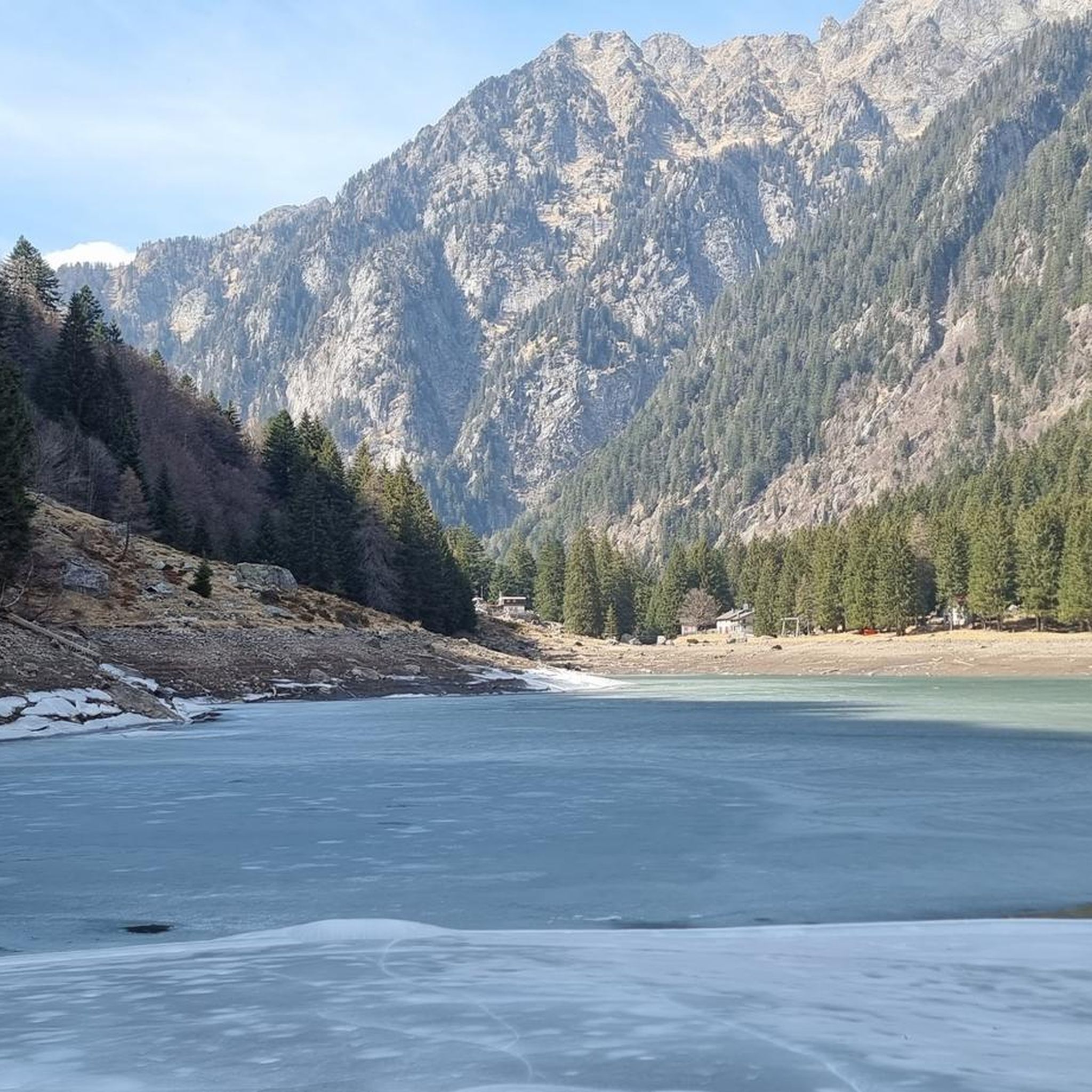
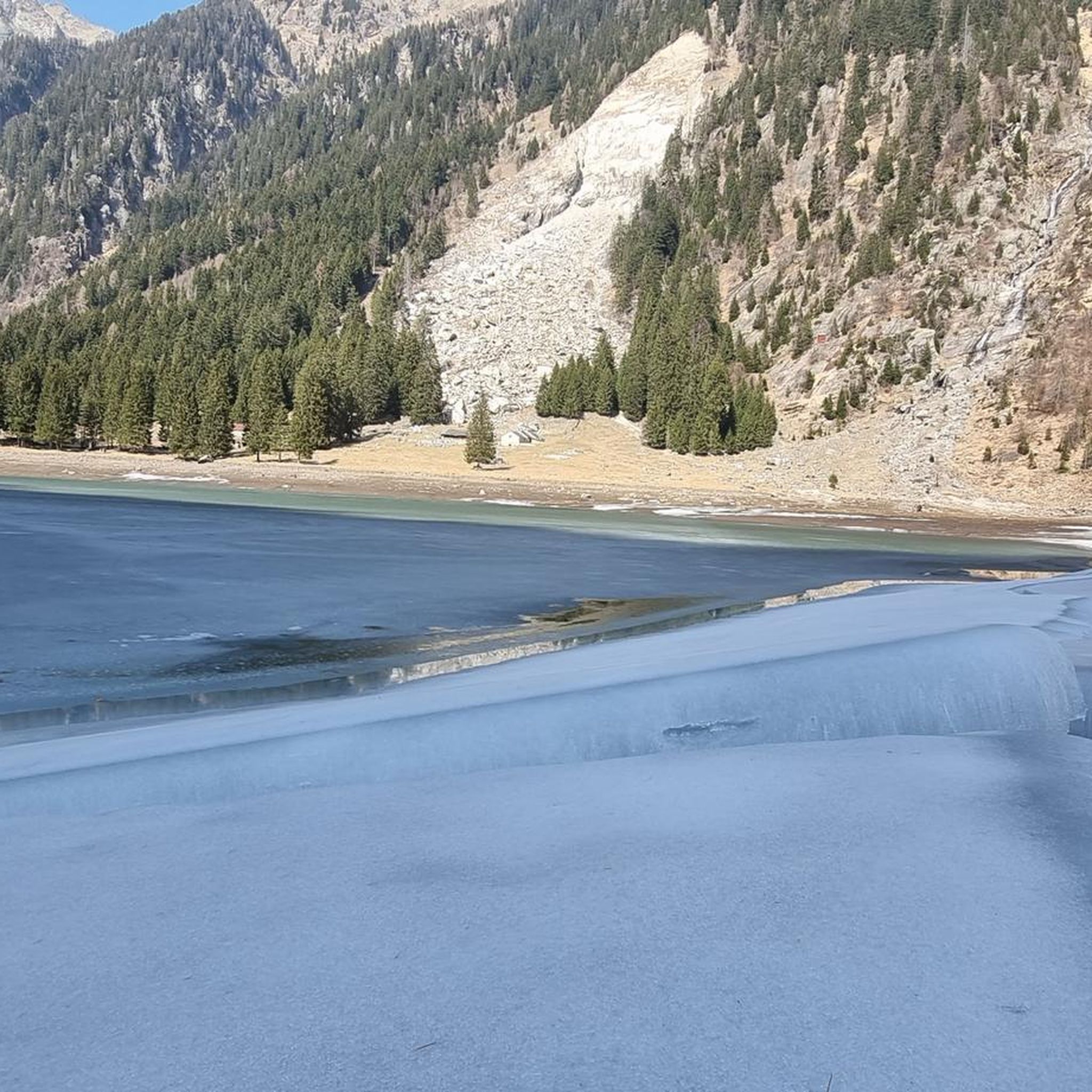
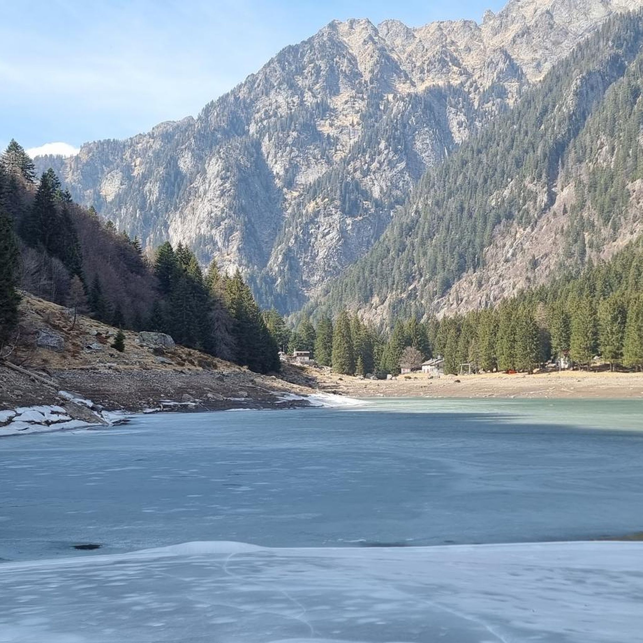
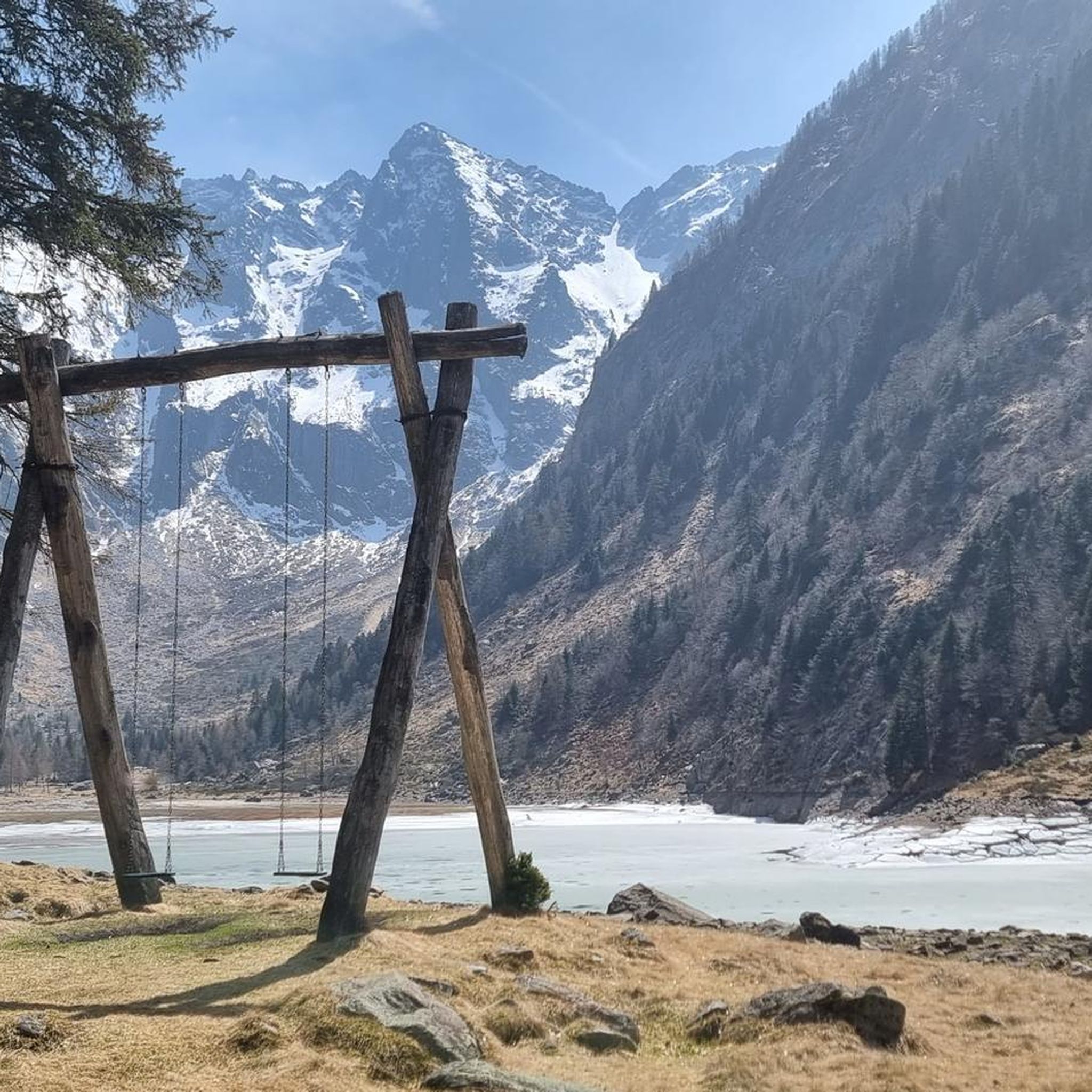
Tips from the Community

The old track bed is now a very beautiful cycle path.
0
0
Beautiful nature and many views that cannot be seen from the pass road
0
0

At the bridge in Roveredo you have a beautiful view of the Moesa, which flows calmly through the valley here. All around, historical buildings, churches and towers shape the townscape. Everything framed by the mountains.
0
0

Station, Grono - (1907-2013) History of the BM With the inauguration of the new San Bernardino motorway (1970), the small, narrow-gauge Mesolcina railway, with no direct connection to the nearby Gotthard railway, appeared obsolete. Starting in 1972—amidst lively protests from the Moesa population—passenger service was discontinued and replaced by P.T.T. buses. After the loss of three out of five electric locomotives due to serious accidents (1969) and the damage to the Soazza-Mesocco section in the 1978 flood, the length of the railway line was significantly reduced on the Castione-Cama stretch. The Rhaetian Railway (which had absorbed the BM between 1942 and 1943 during the severe economic crisis) decided to store its rolling stock in a disused factory in the Grono industrial area, which became a large depot and workshop for overhauling the bogies. This space will be the starting point for the redevelopment of what remains of the Bellinzona-Mesocco electric railway for tourism. In 1985, the Friends of the Mesolcinese Railway Association (AAFM) was founded, and in the summer of 1995 the first Sunday passenger service was inaugurated, a service that continued every summer for the next 18 years. In 2000, the Association transformed into the Tourist Railway Operations Company (SEFT) and recovered an original BM electric locomotive (purchased by the Gotthard Railway Club in 1980), built in Prague in 1909 before being sold to France. In 2003, the Rhaetian Railway also discontinued its freight service, and SEFT was granted another decade of passenger transport. On October 27, 2013, the last tourist run between Castione and Cama took place, definitively ending railway operations in Mesolcina. Since 2020, a Swiss electric locomotive with first and second class seats (1933) and a Belgian freight car (1889) used by the BM have been on public display in the Al Pascolet industrial area on the site of Fratelli Censi SA Tecnica Ferroviaria, not far from the former SEFT depot-workshop. Text / Source: visit-moesano.ch https://www.visit-moesano.ch/sites/moesano/files/2024-04/Storia%20BM.pdf
16
0
Stage 7: San Bernardino – Bellinzona An exhilarating descent through the Mesolcina Valley. Eagerly absorbing the mild southern climate. In Mesocco, cyclists enjoy the largest ruin in Switzerland and, at the end of the tour, in Bellinzona, the defiant towers and walls of the tre castelli. Refreshed, they follow the rushing Moësa River out of the lively resort town of San Bernardino. The 46-kilometer-long tributary of the Ticino rises at the San Bernardino Pass and gives its name to the Mesolcina Valley (Misox). Although Italian is spoken in the valley, as in the Poschiavo and Bregaglia valleys, it has always maintained close ties to Graubünden. In the smaller villages, where many of the houses are covered with stone slabs, time seems to have stood still. You hardly stop on your bike during the rapid descent towards the south. Surrounded by rocky cliffs, you roar along a well-maintained road with countless skid marks. The highway, which practically hangs from the mountain, seems a bit surreal. Later, a varied side road leads down to Mesocco. Magnificent views of the valley are revealed. Below the village, perched on a rocky outcrop, are the ruins of the Castello di Mesocco, the 11th-century ancestral castle of the Count of Misox. It is considered one of the most important in Graubünden and the largest in Switzerland. Roveredo is the main town in the lower Misox Valley. And what could be nicer here than a break in a cool grotto, enjoying a typical lunch menu and a glass of local wine? The village also boasts several beautiful 17th-century houses, such as the one designed by local architect and builder Enrico Zuccalli. A secluded stretch follows near Lumino, just after crossing the highway and the river. A forest path leads along the Moësa River over hill and dale. Passing an inviting forest garden grotto and some secluded swimming spots, you reach Arbedo-Castione. Here, the Moësa flows into the Ticino River. Text / Source: Schweizmobil.ch https://schweizmobil.ch/de/veloland/route-6/etappe-7
14
0

The lake can be bypassed with a mountain bike. Two gates can only be bypassed by stopping and pushing. :-(
1
0
Short flat stretch that allows you to regain some strength.
0
0

A curve segment of the Via Froda road / cycling path from this point (about 200 meters) heading west and north is still completely blocked by the recent landslide. If riding north, take left here and take a short gravel detour to merge back to Via Froda in the next highway underpass.
0
0
Frequently Asked Questions
How many road cycling routes are available around Lake Cama?
There are over 10 distinct road cycling routes around Lake Cama, offering a variety of experiences from easy village loops to challenging mountain ascents. The region features a diverse landscape suitable for various skill levels.
Are there easy road cycling routes suitable for beginners or families in Lake Cama?
Yes, Lake Cama offers several easy road cycling routes. For instance, the Lostallo Village and Waterfall – San Martino Church, Soazza loop from Lostallo is an easy 16.1-mile (25.8 km) trail that takes about 1 hour 12 minutes, leading through villages and past a church. There are 2 easy routes in total.
What kind of terrain can I expect on road cycling routes in Lake Cama?
Road cycling routes around Lake Cama traverse diverse terrain, including valley roads, village connections, and ascents towards mountain passes. You'll find everything from gentle village loops to more challenging climbs, with scenery ranging from lakeside areas to higher elevations.
Are there any challenging road cycling routes for experienced cyclists?
Absolutely. For experienced cyclists seeking a challenge, routes like the Lostallo Village and Waterfall – Pian San Giacomo loop from Cama offer significant elevation gain over 28.3 miles (45.5 km). Another difficult option is the Graubünden Route: San Bernardino Pass to Bellinzona, which is over 50 miles long and includes substantial climbing. There are 3 difficult routes in the area.
What do other road cyclists say about the routes in Lake Cama?
The road cycling routes in Lake Cama are highly regarded by the komoot community, boasting an average score of 5.0 stars from over 20 reviews. Cyclists often praise the varied terrain, the stunning natural features like waterfalls, and the well-connected village paths.
Are there road cycling routes that feature waterfalls or other natural attractions?
Yes, several routes incorporate natural attractions. The Waterfall at Buffalora – Lostallo Village and Waterfall loop from Lostallo is a popular moderate route that specifically features a waterfall, connecting villages with scenic natural elements.
Are most road cycling routes around Lake Cama circular?
Many of the road cycling routes around Lake Cama are designed as loops, allowing you to start and finish in the same location. Examples include the Waterfall at Buffalora – Lostallo Village and Waterfall loop from Lostallo and the Lostallo Village and Waterfall – Pian San Giacomo loop from Cama, providing convenient circular journeys.
What is the typical duration for road cycling routes in Lake Cama?
The duration of road cycling routes in Lake Cama varies significantly based on distance and difficulty. Shorter, easier loops like the Lostallo Village and Waterfall – San Martino Church, Soazza loop from Lostallo can be completed in just over an hour, while longer, more challenging routes may take 2.5 hours or more, such as the Waterfall at Buffalora – Lostallo Village and Waterfall loop from Lostallo.
Are there any routes that pass through villages or offer cultural points of interest?
Many routes connect local villages, offering glimpses into the region's culture. The Lostallo Village and Waterfall – San Martino Church, Soazza loop from Lostallo, for example, passes by the San Martino Church in Soazza, providing a cultural landmark along your ride.
Are there any shorter road cycling routes for a quick ride?
For a quicker ride, the 2024 Landslide on Via Froda loop from Cama is a moderate 3.5-mile (5.6 km) route that can be completed in about 15 minutes, offering a brief but engaging cycling experience.
What is the best time of year for road biking around Lake Cama?
The diverse landscape of Lake Cama, with its valleys and mountain passes, means that road cycling conditions can vary. Generally, late spring through early autumn offers the most favorable weather for exploring both lower valley roads and higher elevations. Winter cycling might be possible on lower routes, but higher passes could be affected by snow.
Most popular routes around Lake Cama

Get inspired with the komoot mobile app


Explore more
Browse the best Road cycling routes in other regions.
