The best running trails around Lake Giacopiane
72
runners
6
runs
Jogging around Lake Giacopiane offers diverse routes through the Ligurian hills, within the Parco Naturale Regionale dell'Aveto. The landscape is characterized by rolling hills, an artificial reservoir, and extensive forests of beech, chestnut, and coniferous trees. These running routes provide varying distances and elevations, catering to different fitness levels, from gentle lakeside loops to more challenging trails with significant elevation gain. The area is also known for its natural features, including streams, small waterfalls, and the potential to spot wild…
Last updated: June 29, 2026
8
runners
27.6km
03:38
870m
860m
Hard run. Very good fitness required. Sure-footedness, sturdy shoes and alpine experience required.
12
runners
50.8km
07:50
2,310m
2,310m
Hard run. Very good fitness required. Sure-footedness, sturdy shoes and alpine experience required.

Sign up for free
3.64km
00:42
240m
240m
Hard run. Good fitness required. Sure-footedness, sturdy shoes and alpine experience required.
8
runners
5.33km
00:40
180m
180m
Hard run. Good fitness required. Sure-footedness, sturdy shoes and alpine experience required.
10
runners
17.2km
02:24
540m
540m
Hard run. Very good fitness required. Sure-footedness, sturdy shoes and alpine experience required.
Our route recommendations are based on thousands of hikes, rides, and runs completed by other people on komoot.
Start today with a free account
Your next adventure awaits.
Login or Signup
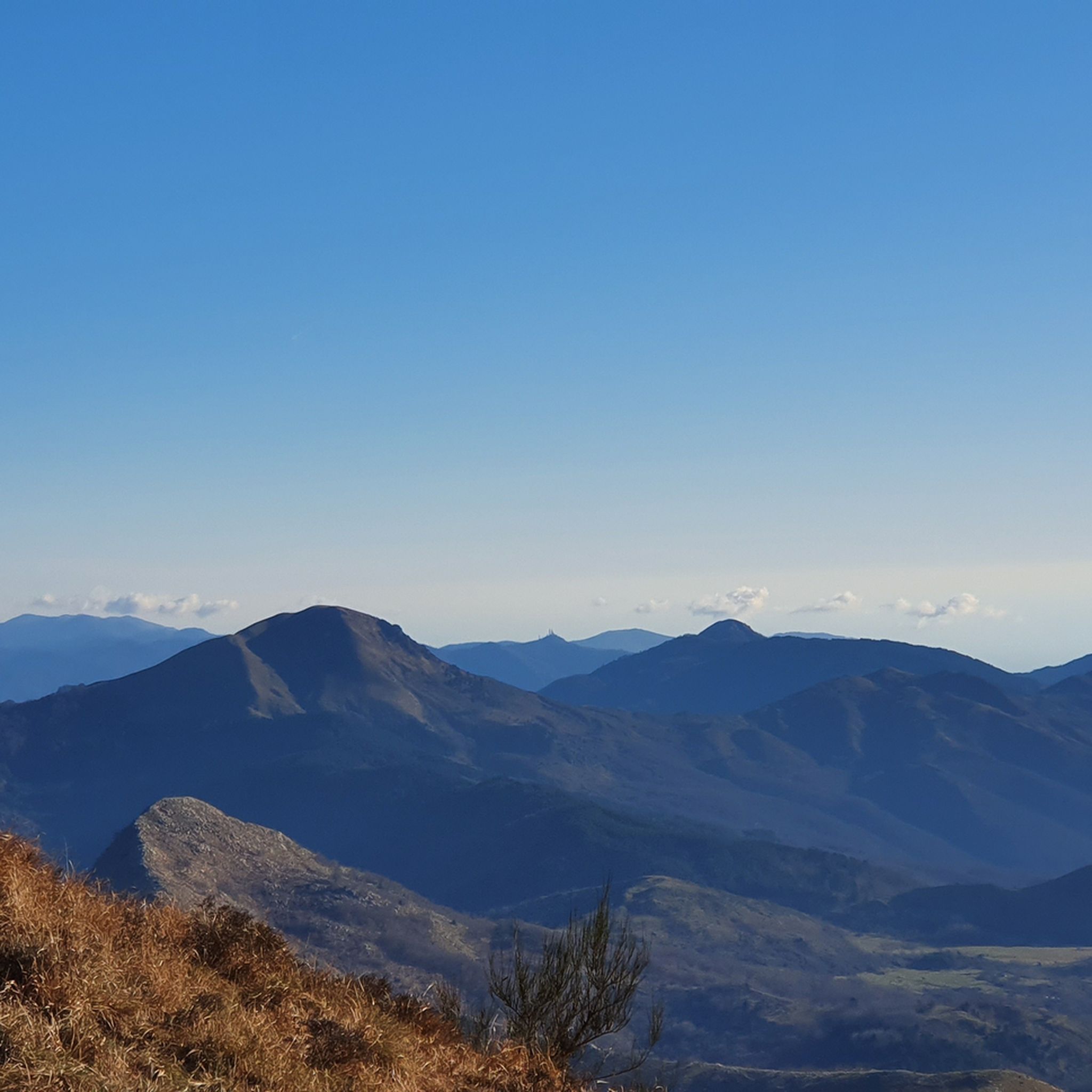
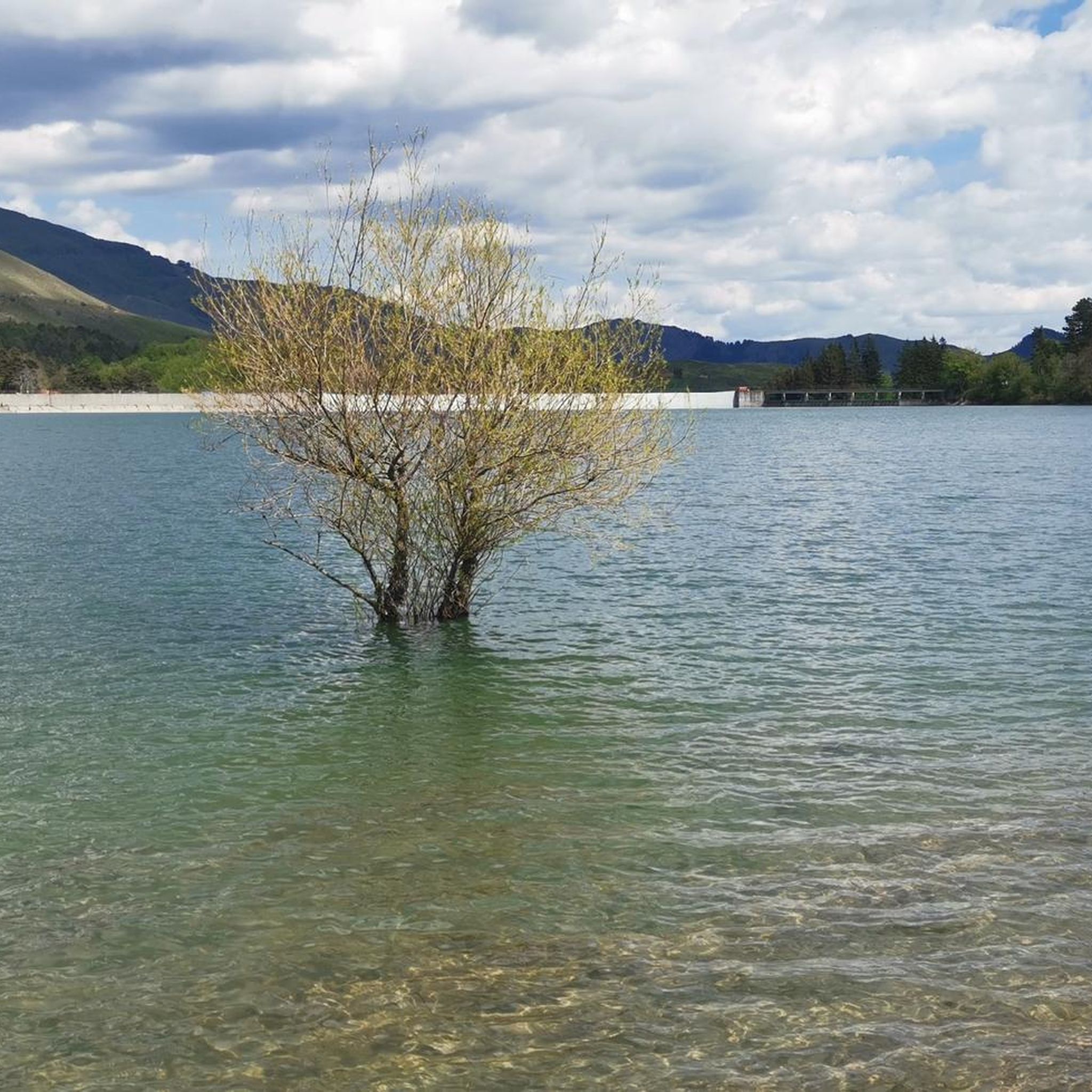
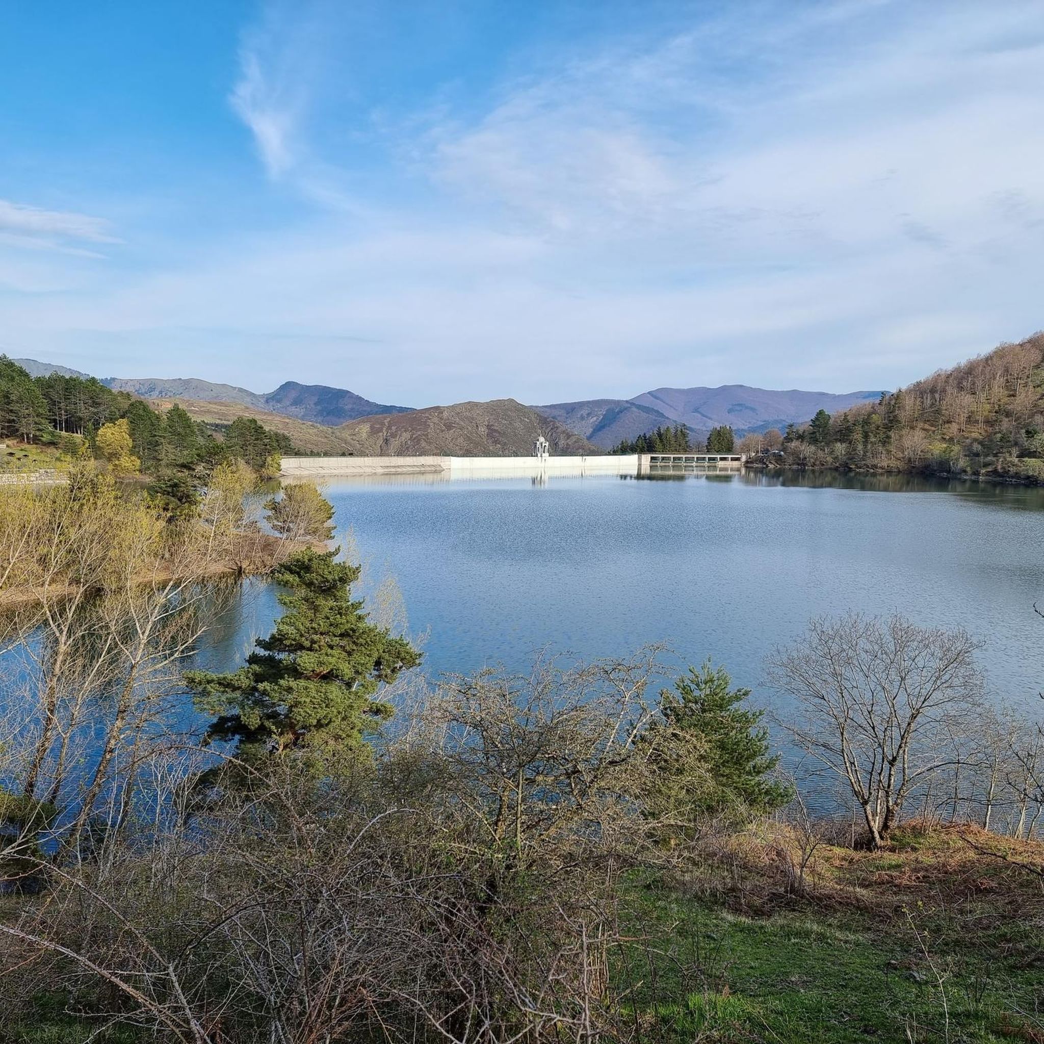
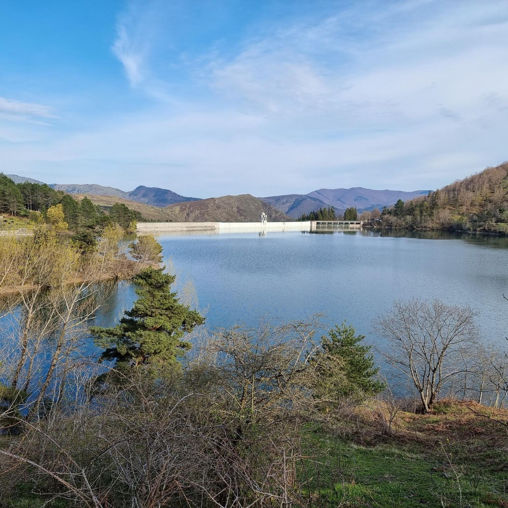
Tips from the Community

It is easily well marked along the forest road.
0
0
Beautiful hiking structure located at 1,400 meters, surrounded by beech trees and positioned on the border with the municipalities of Bedonia and Tornolo for the province of Parma, and Santo Stefano d'Aveto for the metropolitan city of Genoa. Too bad it is never open despite the structure being recent and in good condition.
0
0
Beautiful pass of the Ligurian Apennines located at 1,468 meters. Strategic point that offers various alternatives to start a walk or a long hike.
0
0
Pass of the Ligurian Apennines located at an altitude of 1,452 m, it is reachable by car and is a crossroads where various hiking trails branch off.
0
0
Born from the recovery of old barracks, it is a beautiful refuge where you can both eat and stay overnight. The location is stunning and makes it a must-stop when visiting these areas.
0
0

The Lago di Giacopiane is a charming artificial basin located at 1,015 meters above sea level in the municipality of Borzonasca, within the Aveto Regional Natural Park in Liguria. Built in the 1920s for hydroelectric purposes, the reservoir is famous for being surrounded by dense woods and for hosting herds of wild Aveto horses that graze freely along its shores.
1
0


Pria Burgheisa (Pietra Borghese) is a massive outcrop of mantle peridotites, among the best-known and most significant in the area. It lies on the southwestern edge of the Prato Mollo plateau, on the southern slopes of Mount Aiona, at an altitude of 1,465 m. It is a geosite of considerable petrographic, mineralogical, and regional geological interest, allowing us to study the evolution of a portion of the lithospheric mantle subsequently involved in the Apennine orogeny. The outcrop has a highly irregular shape: 30 m long, 10 m wide at its maximum, and 7–8 m high. The rocks are dark in color, ranging from blackish to brownish; the mass is affected by three main fracture systems, more or less orthogonal to each other, which fragment it into numerous square-shaped blocks. The surface of the blocks has a pitted appearance, as the pyroxene crystals, more resistant to erosion than olivine, remain prominent. At the outcrop, mantle foliation is evident, due to the presence of frequent pyroxenite bands. Source: Liguria Geosite Registry.
0
0
Frequently Asked Questions
How many running routes are available around Lake Giacopiane?
There are 9 diverse running routes around Lake Giacopiane, catering to various fitness levels and preferences. These trails are nestled within the picturesque Ligurian hills and the Parco Naturale Regionale dell'Aveto.
Are there easy running routes for beginners or casual joggers?
Yes, Lake Giacopiane offers accessible paths suitable for all skill levels. For instance, the Lago di Giacopiane loop from Borzonasca is an easy 4.0 km (2.5 miles) route with minimal elevation change, perfect for a scenic and relaxed run.
What kind of terrain can I expect on the jogging trails around Lake Giacopiane?
The terrain around Lake Giacopiane is varied, featuring rolling Ligurian hills, lakeside paths, and areas within the Aveto Natural Regional Park. While some trails are gentle and easy, others, like the Monte Zatta di Levante – Monte Zatta di Ponente loop from Passo del Bocco, offer more challenging, varied terrain with significant elevation changes.
Are there any circular running routes around Lake Giacopiane?
Yes, many of the running routes around Lake Giacopiane are circular, allowing you to start and end at the same point. A popular option is the Lago di Giacopiane loop from Borzonasca, which offers a complete circuit around the lake.
Can I bring my dog on the running trails near Lake Giacopiane?
Generally, dogs are welcome on trails within the Parco Naturale Regionale dell'Aveto, which encompasses Lake Giacopiane. However, it's always advisable to keep them on a leash, especially given the presence of wild horses in the area, and to check specific park regulations for any restricted zones.
Are the jogging routes suitable for families with children?
Many of the paths around Lake Giacopiane are suitable for families, particularly the easier, flatter sections. The lakeside loop, for example, provides a pleasant and manageable distance for families looking to enjoy a run or walk together in nature.
What are some notable natural features or sights to see while jogging?
While jogging around Lake Giacopiane, you'll be treated to serene views of the 1920s reservoir and the surrounding Ligurian hills. A unique natural encounter is the chance to spot wild horses that roam freely in the area, adding a special touch to your outdoor experience.
Is there parking available near the running trailheads at Lake Giacopiane?
Parking is generally available at common access points and trailheads around Lake Giacopiane, particularly near popular starting points like Borzonasca or Passo del Bocco. Specific parking details can often be found on individual route descriptions.
What is the best time of year to go running at Lake Giacopiane?
The best time to go running at Lake Giacopiane is typically during spring, summer, and early autumn when the weather is mild and the natural scenery is at its most vibrant. These seasons offer comfortable temperatures and clear paths for an enjoyable experience.
Are there any longer, more challenging running routes for experienced runners?
Absolutely. For experienced runners seeking a challenge, routes like the Pietra Borghese – Lakes of Agoraie loop from Temossi offer a substantial distance of 27.6 km (17.1 miles) with significant elevation gain, leading through the Aveto Natural Regional Park.
What do other runners enjoy the most about jogging in Lake Giacopiane?
The area is highly rated by the komoot community, with an average score of 5.0 stars. Reviewers often praise the picturesque scenery, the variety of routes catering to different abilities, and the tranquil atmosphere of the Ligurian hills and the Aveto Natural Regional Park.
Can I reach Lake Giacopiane's running trails using public transport?
While direct public transport to every trailhead might be limited, some routes, particularly those starting from towns like Borzonasca, may be accessible via local bus services. It's recommended to check local transport schedules for the most up-to-date information when planning your trip.
Most popular routes around Lake Giacopiane

Get inspired with the komoot mobile app


Explore more
Browse the best Running Trails & Routes in other regions.
