The best cycling routes around Lake Giacopiane
4.6
(35)
417
riders
16
rides
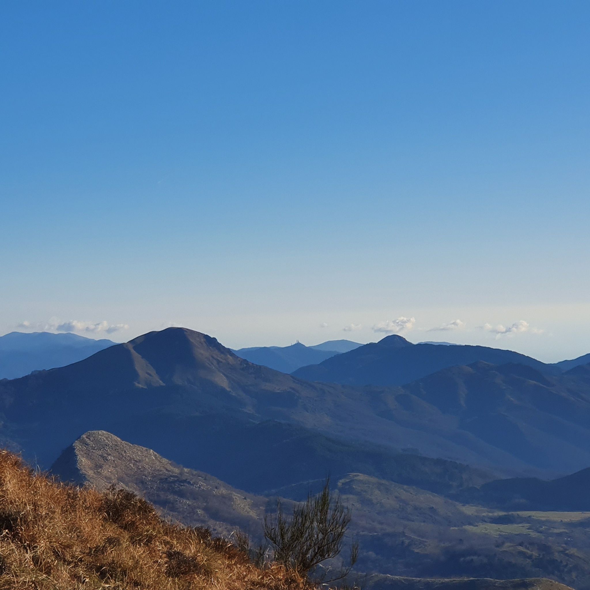
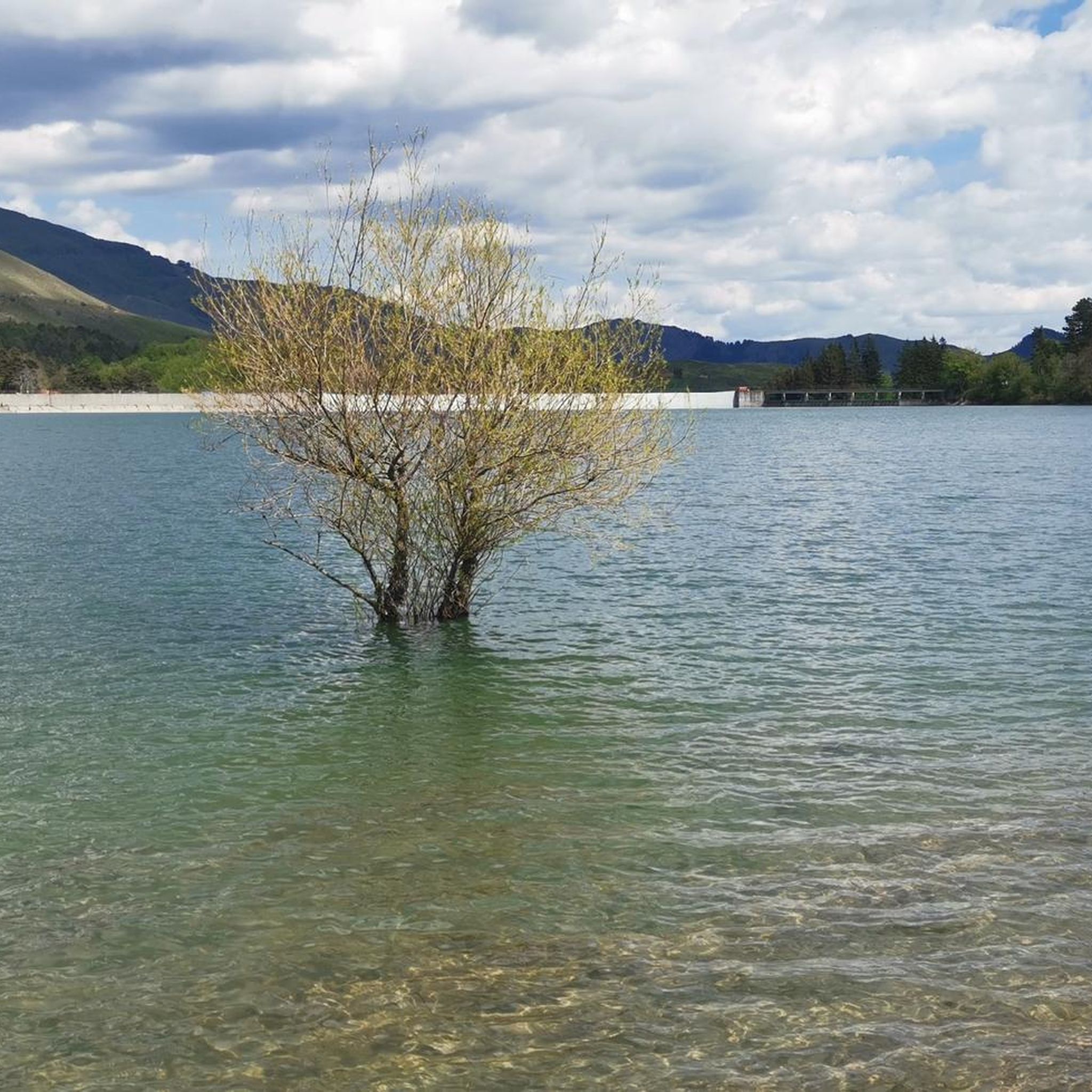
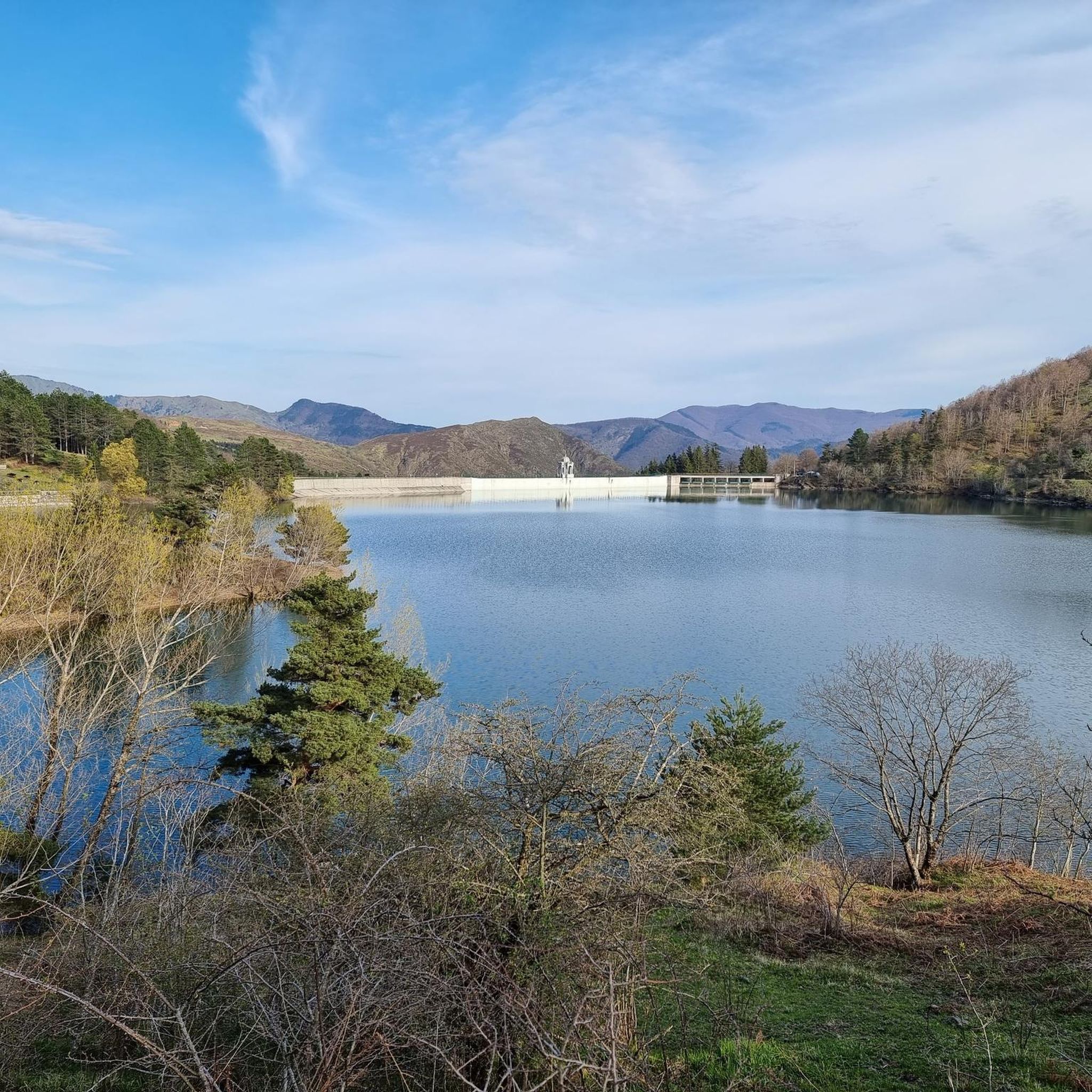
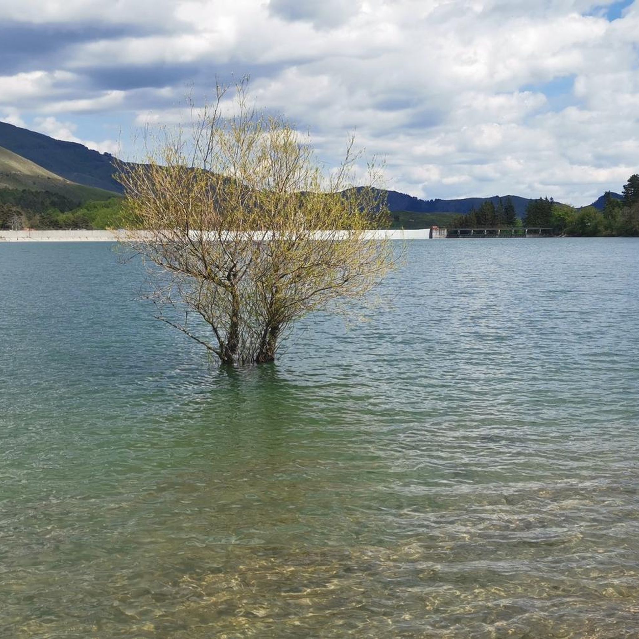
Touring cycling routes around Lake Giacopiane are situated at an elevation of approximately 1,000 meters above sea level within the Apennine mountains. The area features an artificial lake system, characterized by fir, larch, and beech forests. The terrain includes a carriage road encircling the lake, providing a mostly flat route, alongside more challenging trails with significant elevation changes in the broader region. Wild horses roam freely in the surrounding Ligurian hills.
Best touring cycling routes around Lake Giacopiane
- The most popular touring cycling route is Passo del Chiodo – Monte Penna Forest loop from Parco Regionale dell'Aveto, a 31.7 miles (51.1 km) trail that takes about 5 hours 8 minutes to complete. This difficult route winds through dense forests and offers considerable elevation changes.
- Another top favourite among local touring cyclists is Monte Penna Hut – Incisa Pass loop from I Crosi, a difficult 41.7 miles (67.1 km) path. This route leads through the Apennine mountains, with an elevation gain of over 7,000 feet (2,100 meters).
- Local touring cyclists also love the Bocco Pass – Bocco Pass loop from Parco Regionale dell'Aveto, a 21.2 miles (34.2 km) trail leading through mountainous terrain, often completed in about 2 hours 58 minutes.
- Touring cycling around Lake Giacopiane is defined by an artificial lake system, fir, larch, and beech forests, and the Ligurian Apennine mountains. The network offers options for different ability levels, from easy lakeside paths to challenging mountain trails.
- The routes in Lake Giacopiane are highly rated by the komoot community with an average score of 4.6 stars from more than 29 reviews. More than 300 touring cyclists have used komoot to explore Lake Giacopiane's varied terrain.
Last updated: June 29, 2026
34
riders
51.1km
05:08
1,680m
1,680m
Hard bike ride. Very good fitness required. Mostly paved surfaces. Suitable for all skill levels.
8
riders
67.2km
06:27
2,190m
2,200m
Hard bike ride. Very good fitness required. Mostly paved surfaces. Suitable for all skill levels.

Sign up for free
8
riders
63.2km
05:52
2,000m
2,000m
Hard bike ride. Very good fitness required. Mostly paved surfaces. Suitable for all skill levels.
3.8
(5)
58
riders
40.1km
02:33
460m
460m
Hard bike ride. Very good fitness required. Mostly paved surfaces. Suitable for all skill levels.
5.0
(3)
13
riders
34.3km
03:27
1,290m
1,290m
Hard bike ride. Very good fitness required. Mostly paved surfaces. Suitable for all skill levels.
Get access to more routes and recommendations from other explorers.
Sign up for free
Already have an account?
Our route recommendations are based on thousands of hikes, rides, and runs completed by other people on komoot.
Start today with a free account
Your next adventure awaits.
Login or Signup
Tips from the Community

It is easily well marked along the forest road.
0
0
Beautiful hiking structure located at 1,400 meters, surrounded by beech trees and positioned on the border with the municipalities of Bedonia and Tornolo for the province of Parma, and Santo Stefano d'Aveto for the metropolitan city of Genoa. Too bad it is never open despite the structure being recent and in good condition.
0
0
Beautiful pass of the Ligurian Apennines located at 1,468 meters. Strategic point that offers various alternatives to start a walk or a long hike.
0
0
Pass of the Ligurian Apennines located at an altitude of 1,452 m, it is reachable by car and is a crossroads where various hiking trails branch off.
0
0
Born from the recovery of old barracks, it is a beautiful refuge where you can both eat and stay overnight. The location is stunning and makes it a must-stop when visiting these areas.
0
0

Pria Burgheisa (Pietra Borghese) is a massive outcrop of mantle peridotites, among the best-known and most significant in the area. It lies on the southwestern edge of the Prato Mollo plateau, on the southern slopes of Mount Aiona, at an altitude of 1,465 m. It is a geosite of considerable petrographic, mineralogical, and regional geological interest, allowing us to study the evolution of a portion of the lithospheric mantle subsequently involved in the Apennine orogeny. The outcrop has a highly irregular shape: 30 m long, 10 m wide at its maximum, and 7–8 m high. The rocks are dark in color, ranging from blackish to brownish; the mass is affected by three main fracture systems, more or less orthogonal to each other, which fragment it into numerous square-shaped blocks. The surface of the blocks has a pitted appearance, as the pyroxene crystals, more resistant to erosion than olivine, remain prominent. At the outcrop, mantle foliation is evident, due to the presence of frequent pyroxenite bands. Source: Liguria Geosite Registry.
0
0

In the heart of the village of Prati di Mezzanego, right near the town hall, stands a magnificent centuries-old wisteria, listed in the Ligurian Regional Register of Monumental Trees. The plant has entwined itself around an old metal structure, now completely engulfed in branches, creating a natural display reminiscent of an art installation. The most evocative time to admire it is early spring, when the blossoms offer a truly unique display of colors and scents.
0
0
The Rifugio Casermette del Penna (1,400 m) is located within the Aveto Park, in a beautiful beech forest at the foot of Mount Penna, where the Forestry Corps barracks once stood. Renovated sustainably using local wood, photovoltaic panels, and a biomass boiler, the refuge offers 25 beds in both rooms and dormitories, as well as home-cooked meals prepared using local produce. Today, it is a popular destination for hikers, families, and groups, thanks in part to the large green lawn in front of the building: in summer, it's ideal for relaxing in the sun, picnicking, or letting children play freely. The location is perfect for exploring the trails of Mount Penna, the Lago Penna loop, the Pennino forests, or tackling more technical climbs to the rocky peaks. In winter, it's an ideal base for snowshoeing and cross-country skiing.
0
0
Frequently Asked Questions
How many touring cycling routes are available around Lake Giacopiane?
There are over 15 touring cycling routes around Lake Giacopiane, offering a variety of experiences for different skill levels. These routes are highly rated by the komoot community, with an average score of 4.6 stars.
What is the overall difficulty level of touring cycling routes in the Lake Giacopiane area?
The majority of touring cycling routes around Lake Giacopiane are considered difficult, featuring significant elevation changes through the Apennine mountains. However, there is also an easy route, the Lakes of Giacopiane loop from Borzonasca, which is mostly flat and suitable for a more relaxed ride.
Are there any easy, family-friendly cycling routes around Lake Giacopiane?
Yes, the Lakes of Giacopiane loop from Borzonasca is an easy 4-kilometer route that encircles Lake Giacopiane. It follows a carriage road, offering a mostly flat path with scenic views, making it suitable for families.
Can I find circular touring cycling routes in the region?
Yes, several circular routes are available. For instance, the easy Lakes of Giacopiane loop from Borzonasca offers a scenic circuit around the lake. For more challenging options, consider the difficult Passo del Chiodo – Monte Penna Forest loop from Parco Regionale dell'Aveto or the Monte Penna Hut – Incisa Pass loop from I Crosi.
What natural features and landmarks can I expect to see while cycling around Lake Giacopiane?
Cyclists can enjoy a diverse landscape featuring fir, larch, and beech forests, panoramic views that can extend to Corsica on clear days, and the artificial Lake Giacopiane itself, with its notable Art Nouveau-style dam. A unique highlight is the chance to spot wild horses roaming freely in the surrounding Ligurian hills.
Are there any specific permits or access requirements for cycling around Lake Giacopiane?
Access to Lake Giacopiane typically requires purchasing a pass in Borzonasca. It's advisable to check local regulations before your visit.
What is the best time of year to go touring cycling around Lake Giacopiane?
Given its elevation of approximately 1000 meters above sea level, the area is best enjoyed during spring, summer, and early autumn when the weather is milder and the forests are lush. Winter cycling might be challenging due to snow and colder temperatures.
Are there picnic areas or facilities available along the routes?
Picnic areas are available around Lake Giacopiane. However, visitors are advised to bring their own supplies for waste disposal and drinking water, as facilities might be limited.
What are some of the longer, more challenging touring cycling routes in the area?
For experienced touring cyclists seeking a challenge, the Monte Penna Hut – Incisa Pass loop from I Crosi is a difficult 67.1 km trail through the Apennine mountains, often taking over 6 hours to complete. Another demanding option is the Nature Trail in Frazione Loro – Pratosopralacroce loop from Borzonasca, covering 34.3 km with significant elevation.
What do other touring cyclists enjoy the most about touring cycling in Lake Giacopiane?
The area is highly rated by the komoot community, with an average score of 4.6 stars from over 30 reviews. Cyclists often praise the stunning natural environment, the diverse terrain ranging from flat lakeside paths to challenging mountain trails, and the unique opportunity to observe wild horses.
Is it possible to reach Lake Giacopiane cycling routes using public transport?
While the region is well-suited for cycling, specific public transport options directly to the lake's cycling routes are not detailed. It's recommended to plan your journey to Borzonasca, the nearest town, and then cycle to the lake, or check local transport services for connections.
Are there opportunities for wildlife spotting while cycling?
Yes, the region is known for its natural beauty and wildlife. A captivating feature of the landscape is the presence of wild horses that roam freely in the Ligurian hills surrounding the lake, offering a unique wildlife spotting opportunity during your ride.
Most popular routes around Lake Giacopiane

Get inspired with the komoot mobile app


Explore more
Browse the best Cycling routes in other regions.
