The best walks and hikes around Stagno di Platamona
4.1
(68)
554
hikers
37
hikes
Hiking around Stagno di Platamona offers diverse natural features, making it an excellent destination for outdoor activities. The region is characterized by a significant wetland ecosystem, surrounded by extensive reed beds and ancient sand dunes. Juniper and pine forests provide shaded paths, extending in some areas towards the coast. Stagno di Platamona is also an important wildlife sanctuary, particularly for birdwatching.
Best hiking trails around Stagno di Platamona
- The most popular hiking route is Path of Santu Jacu: Northern Way…
Last updated: September 1, 2026
5.0
(2)
8
hikers
4.70km
01:11
10m
10m
Easy hike. Great for any fitness level. Easily-accessible paths. Suitable for all skill levels.
4.6
(10)
36
hikers
7.83km
01:59
20m
20m
Easy hike. Great for any fitness level. Easily-accessible paths. Suitable for all skill levels.

Sign up for free
3.3
(3)
16
hikers
13.9km
03:34
50m
50m
Moderate hike. Good fitness required. Easily-accessible paths. Suitable for all skill levels.
3.8
(4)
15
hikers
13.8km
03:29
20m
20m
Moderate hike. Good fitness required. Easily-accessible paths. Suitable for all skill levels.
5.0
(2)
14
hikers
5.23km
01:19
0m
0m
Easy hike. Great for any fitness level. Easily-accessible paths. Suitable for all skill levels.
Get access to more routes and recommendations from other explorers.
Sign up for free
Already have an account?
Our route recommendations are based on thousands of hikes, rides, and runs completed by other people on komoot.
Start today with a free account
Your next adventure awaits.
Login or Signup
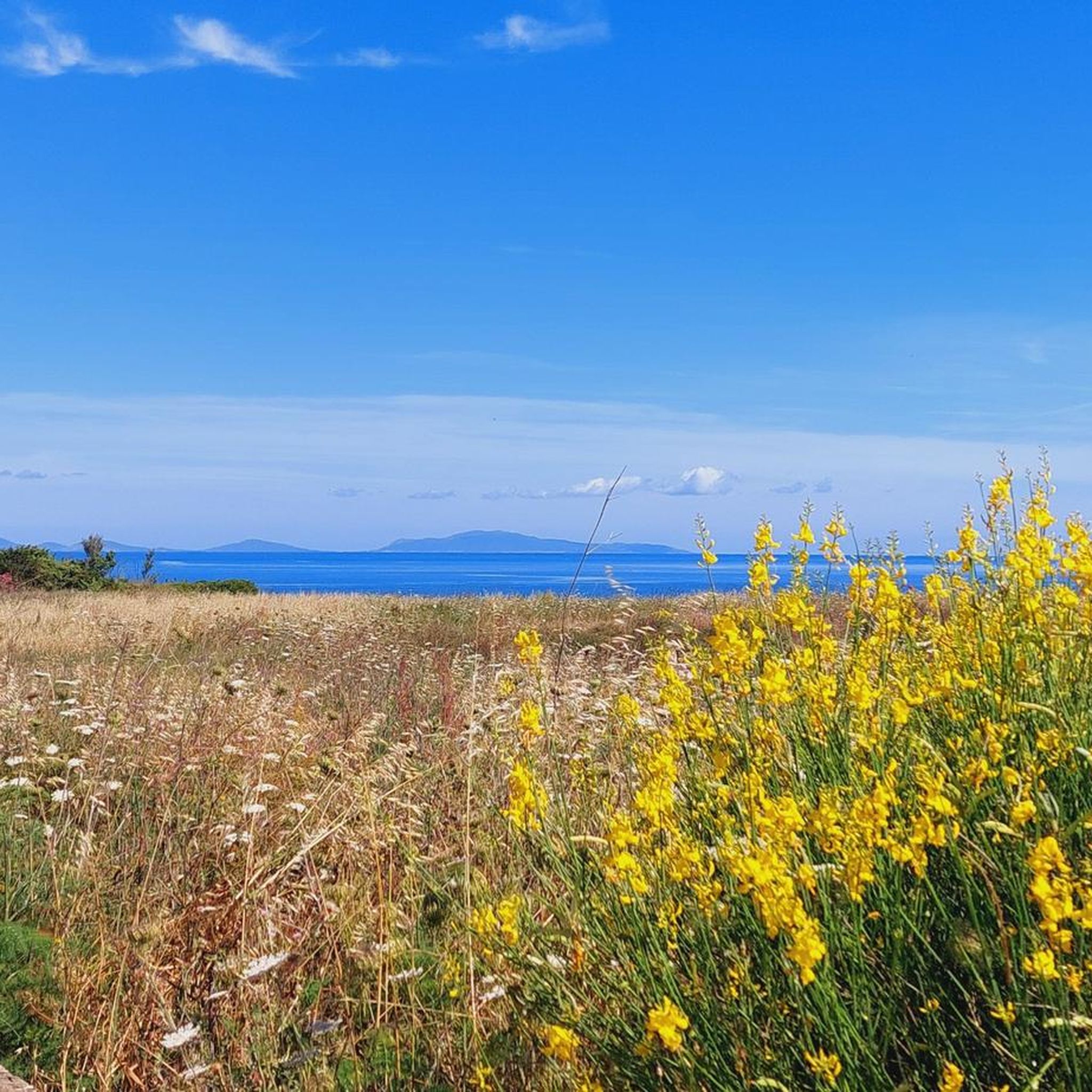
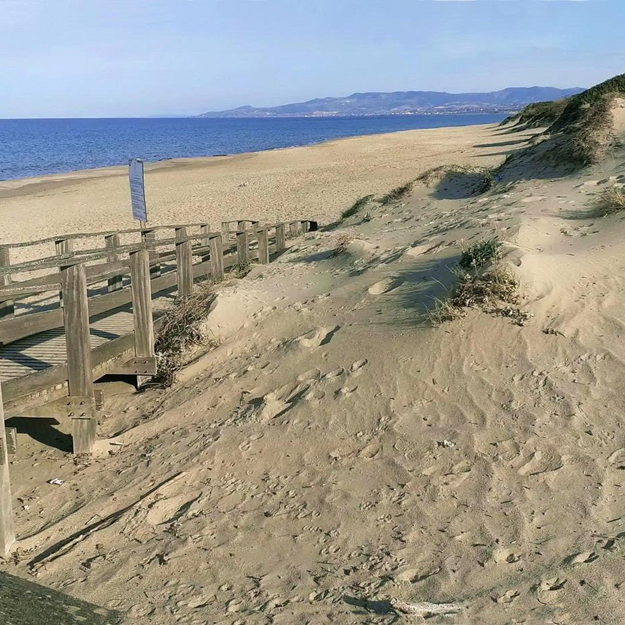
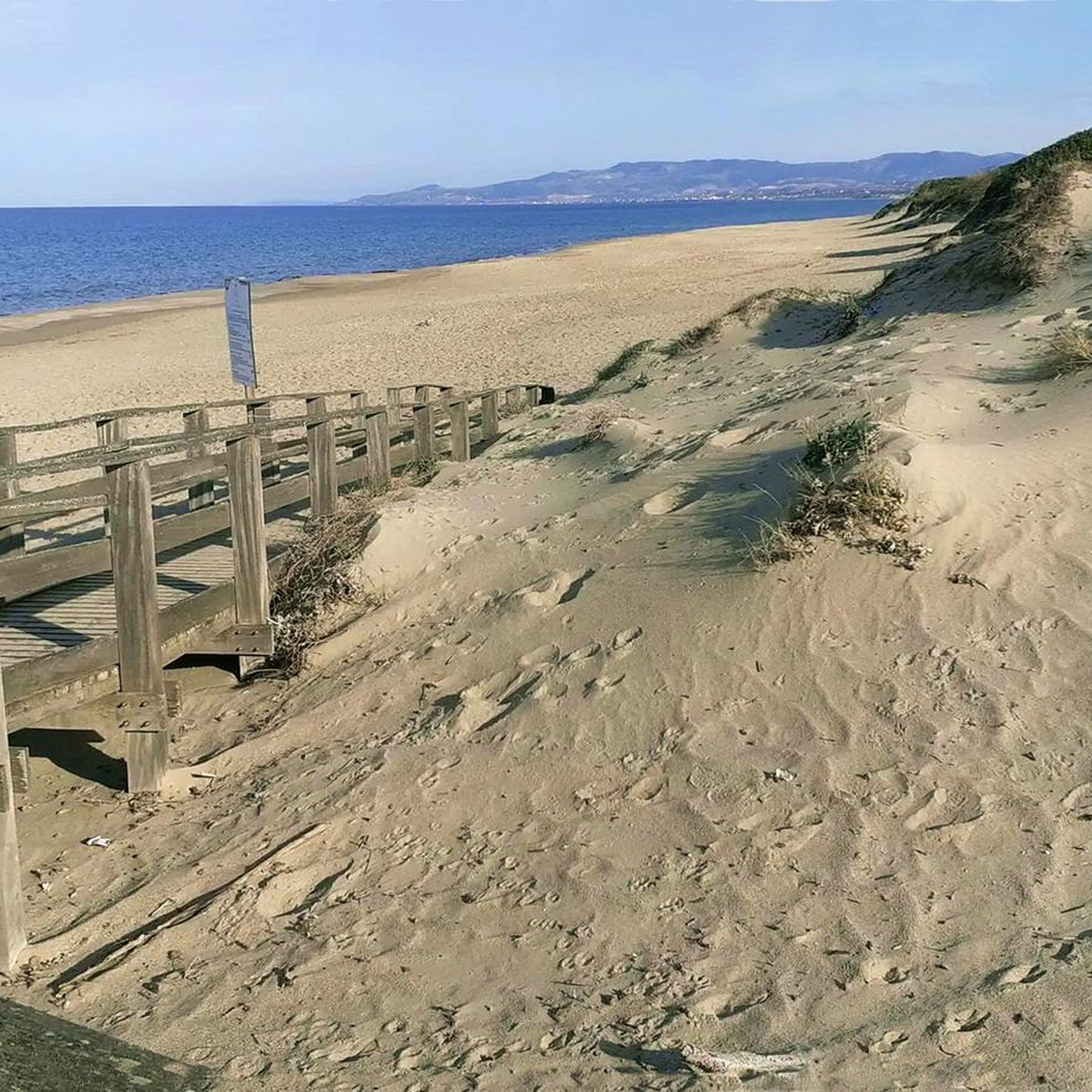
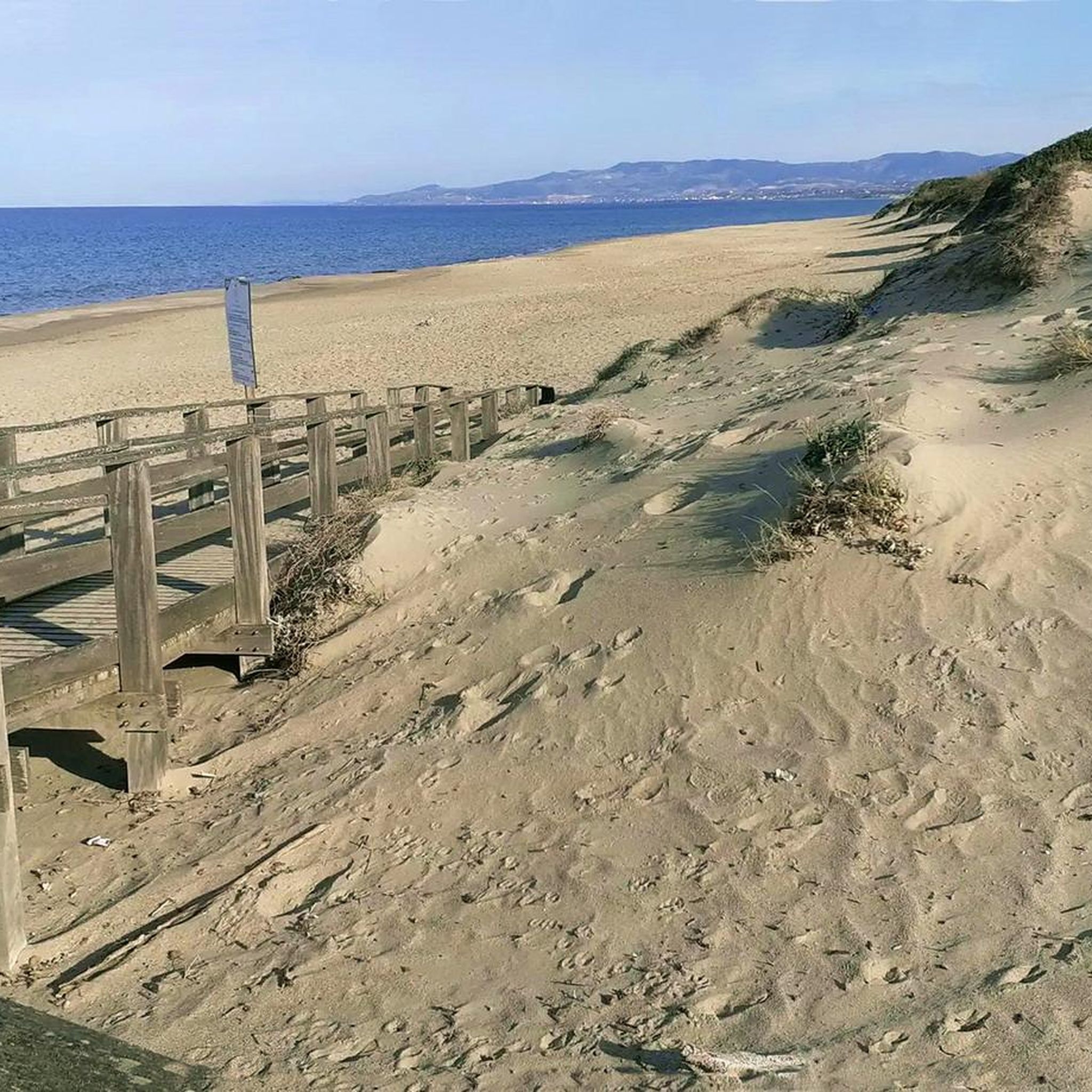

Tips from the Community

Beautiful beach that is not too crowded in October and is often visited by locals.
0
0

The Platamona pond derives its name from the Greek and means flat surface. In fact it is a flat area where you feel like a guest of luxuriant nature. It is a perfect place for birdwatchers.
1
1

Very beautiful stretch of coast located at the Torre di Abbacurrente.
6
0

Passing through Porto Torres and Platamona.
1
0
Comfortable and in good condition. To the north mainly downhill.
0
0

Coast guard tower of northern Sardinia near Porto Torres.
5
0

The new cycle and pedestrian area of the Marina di Sorso is a stretch of road reserved for bicycles and pedestrians along the coastal provincial road. It skirts the coastal pine forests, with splendid views of the sea, the Pond of Platamona and the coastal spots. Well infrastructured, separated from vehicular traffic and well signposted, it is an excellent stretch to cycle safely.
1
0
Frequently Asked Questions
What kind of terrain can I expect on the hiking trails around Stagno di Platamona?
The trails around Stagno di Platamona offer a diverse landscape. You'll find paths winding through a significant wetland ecosystem with extensive reed beds, ancient sand dunes, and shaded sections within juniper and pine forests. Many routes also feature coastal sections along Platamona Beach. The terrain is generally easy, with some moderate options available.
Are there any easy or family-friendly hiking routes in Stagno di Platamona?
Yes, Stagno di Platamona is an excellent destination for easy and family-friendly hikes. Out of 29 total routes, 20 are classified as easy. Many paths are easily accessible, with some even featuring wooden floors and handrails, making them suitable for all fitness levels and perfect for short excursions with children. A great option is the Path of Santu Jacu: Northern Way – Stage 01, an easy 2.9-mile route through the pond and juniper forest.
What is the best time of year to go hiking in Stagno di Platamona?
Stagno di Platamona offers a pleasant hiking experience throughout much of the year. While specific recommendations depend on personal preference, the mild climate of northern Sardinia makes it suitable for hiking even in winter. Spring and autumn are particularly enjoyable for their comfortable temperatures and vibrant nature, while summer mornings or late afternoons can be ideal to avoid the midday heat.
Are there opportunities for birdwatching along the trails?
Absolutely. Stagno di Platamona is a vital wildlife sanctuary, especially renowned for birdwatching. You can observe numerous aquatic bird species such as Greater Flamingos, Purple Herons, Great Crested Grebes, and Eurasian Coots. The area is also home to the rare Purple Swamphen. Routes like the Stagno di Platamona – Birdwatching Pontoon loop from Enel are specifically designed to offer excellent viewing opportunities from accessible pontoons.
Are dogs allowed on the hiking trails in Stagno di Platamona?
While the region is a wildlife sanctuary, many trails in Stagno di Platamona are suitable for walking with dogs. It's always recommended to keep your dog on a leash to protect the local wildlife and ensure a pleasant experience for all visitors. Please be mindful of local regulations regarding pets in protected areas.
Are there any circular hiking routes available?
Yes, several circular routes are available, offering convenient starting and ending points. For instance, the Birdwatching Pontoon loop from Torre di Abbacurrente is a 3.6-mile circular trail that takes you through the wetland environment. Another option is the Platamona Beach loop from Villaggio Grigio, which combines the pond scenery with coastal views.
What kind of natural attractions or landmarks can I see while hiking?
Beyond the diverse trails, you'll encounter significant natural features. The core attraction is the Stagno di Platamona lagoon itself, surrounded by extensive reed beds. You'll also walk through beautiful juniper and pine forests, and along ancient sand dunes. The trails often lead to or run parallel with Platamona Beach, a wide expanse of light sand known for its changing sea colors.
Is there an Environmental Education Center in the area?
Yes, Stagno di Platamona hosts an Environmental Education and Sustainability Center. This center serves as a valuable starting point for visitors, offering guided birdwatching tours and specialized courses. You can also rent binoculars and guides on-site to enhance your nature observation experience.
What do other hikers enjoy most about hiking in Stagno di Platamona?
The area is highly rated by the komoot community, with an average score of 4.1 stars from over 40 reviews. Reviewers often praise the tranquil and immersive nature experience, the rich biodiversity, especially for birdwatching, and the accessibility of the trails, making it suitable for various ability levels and family outings.
Are there any trails that connect the pond to the beach?
Yes, there are routes that seamlessly connect the wetland environment of Stagno di Platamona with the coast. The Platamona Beach loop from Stagno di Platamona is a moderate 5-mile trail that allows you to experience both the unique pond ecosystem and the scenic views of Platamona Beach.
Are there any wheelchair-accessible trails in Stagno di Platamona?
Stagno di Platamona is known for its commitment to accessibility. Many paths are designed to be easily accessible, with some specifically featuring wooden floors and handrails. These accessible sections allow everyone to reach key points, such as birdwatching cabins, ensuring a more inclusive outdoor experience.
Most popular routes around Stagno di Platamona

Get inspired with the komoot mobile app


Explore more
Browse the best Hikes in other regions.
