The best cycling routes around Plan d'eau de la Haute Vilaine
4.5
(153)
1,118
riders
86
rides
Touring cycling around Plan d'eau de la Haute Vilaine offers routes through diverse landscapes surrounding the 131-hectare lake, which spans three communes. The area features educational trails along the shores, notable trees, and various bird species. A 90-meter footbridge crosses the lake, enabling distinct loops on both the east and west sides. The terrain includes paths suitable for hybrid bikes, with some sections offering technical ascents and descents.
Best touring cycling routes around Plan d'eau de la Haute Vilaine
- The…
Last updated: July 2, 2026
25
riders
14.6km
00:57
170m
170m
Moderate bike ride. Good fitness required. Mostly paved surfaces. Suitable for all skill levels.
17
riders
50.1km
03:20
600m
600m
Hard bike ride. Very good fitness required. Mostly paved surfaces. Suitable for all skill levels.

Sign up for free
7
riders
Moderate bike ride. Good fitness required. Mostly paved surfaces. Suitable for all skill levels.
5
riders
10.2km
00:50
120m
120m
Easy bike ride. Great for any fitness level. Mostly paved surfaces. Suitable for all skill levels.
5.0
(1)
8
riders
38.0km
02:43
240m
240m
Moderate bike ride. Good fitness required. Mostly paved surfaces. Suitable for all skill levels.
Get access to more routes and recommendations from other explorers.
Sign up for free
Already have an account?
Our route recommendations are based on thousands of hikes, rides, and runs completed by other people on komoot.
Start today with a free account
Your next adventure awaits.
Login or Signup
Popular around Plan d'eau de la Haute Vilaine



Tips from the Community

Bird watching possible!
0
0


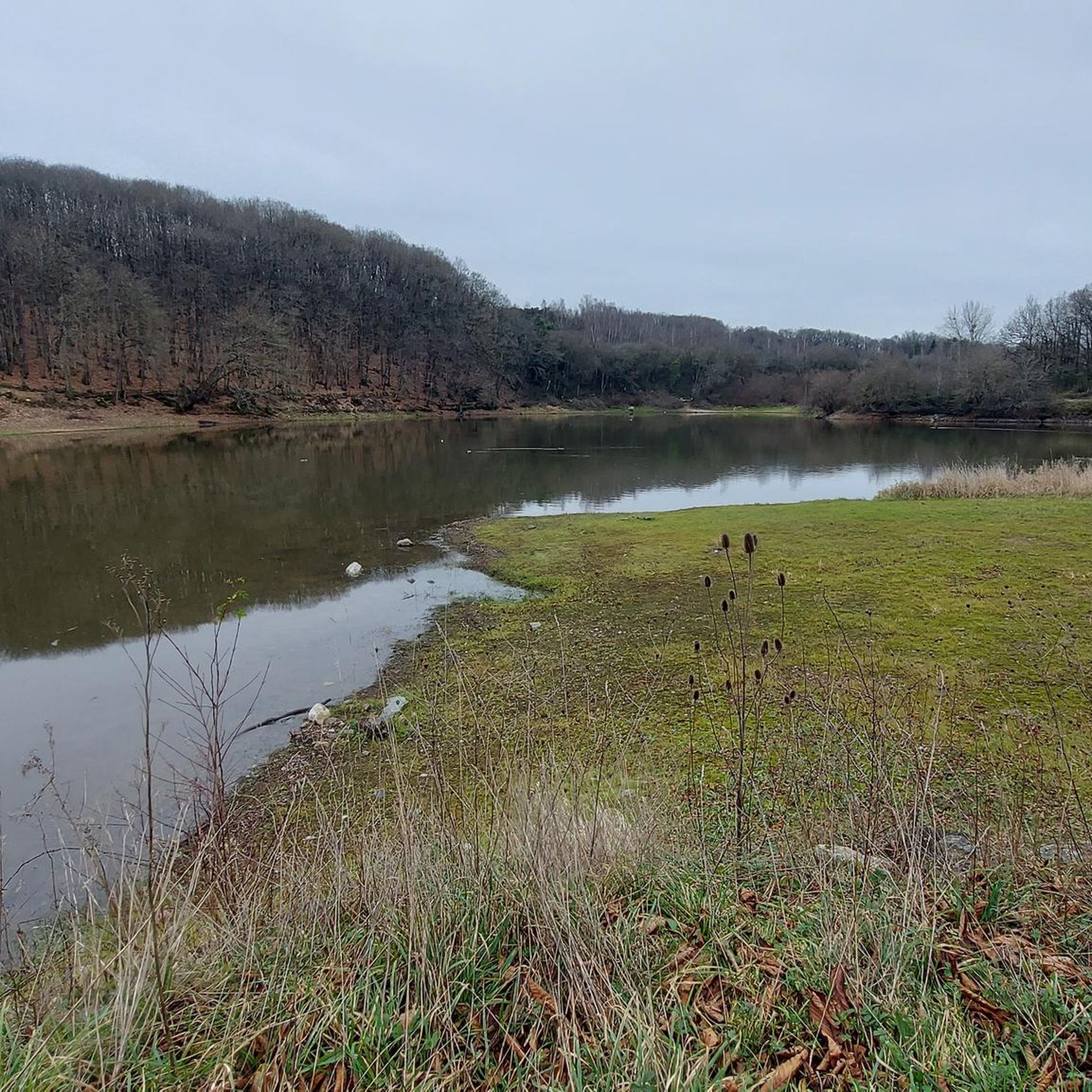
The Morfelon pond is a small lake surrounded by a botanical trail, a sports complex and a picnic area. L’Étang de Morfelon is a hidden gem that offers a peaceful and enjoyable experience for nature lovers.
2
0

The Château de Gazon was rebuilt in the second half of the 17th century on the site of an old medieval stronghold. The chateau also included a farmhouse which, unfortunately, today sits at the bottom of Lake Cantache.
3
0
The Cantache pond is a relatively recent creation, created in 1995 by the creation of the Cantache dam built the same year.
3
0

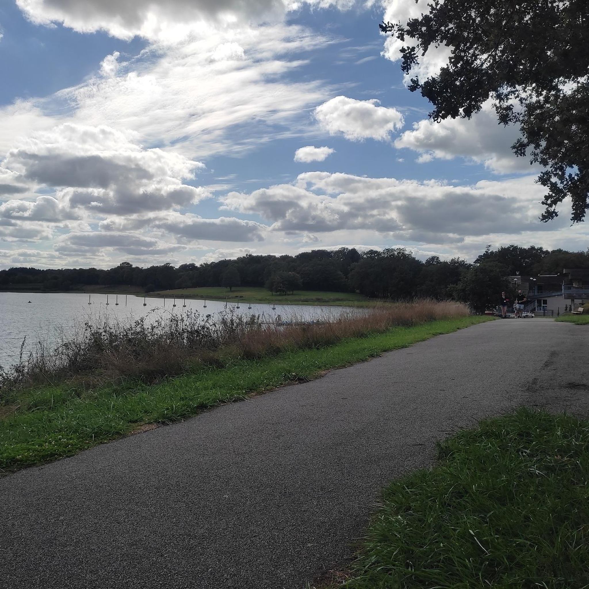
The unmissable Cantache lake, which unfortunately, road cyclists, you'll only see from the road 😅. You'll need to put on your 30mm tires to be able to go around and enjoy the trails that wind around this reservoir. Sincerely 🫶
1
0
The benchmark of Vitreans on Sunday! Strong influence on weekends. Much less crowded on weekdays.
1
0
Frequently Asked Questions
How many touring cycling routes are available around Plan d'eau de la Haute Vilaine?
There are nearly 90 touring cycling routes available around Plan d'eau de la Haute Vilaine. These routes cater to various skill levels, with 31 easy, 35 moderate, and 23 difficult options to explore the diverse landscapes of the area.
Are there any easy touring cycling routes suitable for beginners or a relaxed ride?
Yes, there are several easy routes perfect for a relaxed ride. One popular option is the Bike loop from La Chapelle-Erbrée, which is 10.2 km long and provides access to the lake's shores. The main 14.5 km circuit around the lake is also generally considered easy for hybrid bikes, though some sections may have slight technical ascents.
What kind of terrain can I expect on the touring cycling routes?
The terrain around Plan d'eau de la Haute Vilaine is diverse. You'll find well-marked paths suitable for hybrid bikes (VTC) and mountain bikes (VTT). While many sections are easy, some routes, particularly around the half-lake tour, include paths that can have technical ascents and descents, requiring a certain level of skill. The region offers a mix of lake circuits and wider regional landscapes.
Are there any circular touring cycling routes around the lake?
Yes, the area is known for its circular routes. A prominent feature is the 14.5 km circuit directly around the lake, which is well-marked. Additionally, a 90-meter footbridge allows for two distinct 7.2 km loops on both the east and west sides of the lake. Many of the routes, such as the Bike loop from La Grande Ville Cuite, are designed as loops.
What are some notable landmarks or attractions to see along the cycling routes?
Cyclists can enjoy charming views of the fortified 15th-century Château des Nétumières. The paths along the shores are also equipped with educational signposts, allowing you to explore diverse landscapes and observe remarkable trees and various bird species. The Haute-Vilaine leisure base, located about 8 km from Vitré, offers a range of activities if you wish to extend your visit.
Is there parking available for cyclists at Plan d'eau de la Haute Vilaine?
Yes, parking is generally available, especially near the Haute-Vilaine leisure base, which serves as a hub for various activities. It's advisable to check local signage upon arrival for designated cyclist parking areas.
What do other touring cyclists say about the routes in Plan d'eau de la Haute Vilaine?
The touring cycling routes around Plan d'eau de la Haute Vilaine are highly rated by the komoot community, with an average score of 4.5 stars from over 200 reviews. Cyclists often praise the varied terrain, the scenic lake views, and the well-maintained paths that offer options for different ability levels.
Are the touring cycling routes suitable for families with children?
Many of the routes, particularly the easier loops around the lake, are suitable for families. The area features developed beaches, picnic and barbecue areas, and the Haute-Vilaine leisure base offers children's play areas, making it a family-friendly destination. The educational signposts along the paths can also add an engaging element for younger riders.
Can I bring my dog on the touring cycling routes?
While the region is generally welcoming to outdoor activities, specific regulations regarding dogs on cycling paths can vary. It's best to keep dogs on a leash and ensure they are well-behaved, especially in areas with wildlife or other visitors. Always check local signage for any restrictions.
Are there any longer or more challenging touring cycling routes in the area?
Yes, for those seeking a longer or more challenging ride, options like the Cantache Pond – Cantache Reservoir loop from Saint-M'Hervé cover 42.0 km with significant elevation gain. Another challenging route is the View from Roc de Montautour – Guinguette de Villanfray loop from Saint-M'Hervé, which is 28.6 km and classified as difficult.
What is the best time of year to go touring cycling around Plan d'eau de la Haute Vilaine?
The spring, summer, and early autumn months generally offer the most pleasant conditions for touring cycling around Plan d'eau de la Haute Vilaine. During these seasons, the weather is typically mild, and the natural beauty of the lake and its surroundings, including the diverse bird species and remarkable trees, can be fully appreciated.
Are there facilities like cafes or restaurants near the cycling routes?
The Haute-Vilaine leisure base, located about 8 km from Vitré, is a central hub that may offer facilities or be close to amenities. While specific cafes directly on every route are not guaranteed, the nearby communes like Saint-M'Hervé and La Chapelle-Erbrée would be good places to look for dining options.
Most popular routes around Plan d'eau de la Haute Vilaine

Get inspired with the komoot mobile app


Explore more
Browse the best Cycling routes in other regions.
