The best walks and hikes around Plan d'eau de la Haute Vilaine
4.6
(218)
1,434
hikers
55
hikes
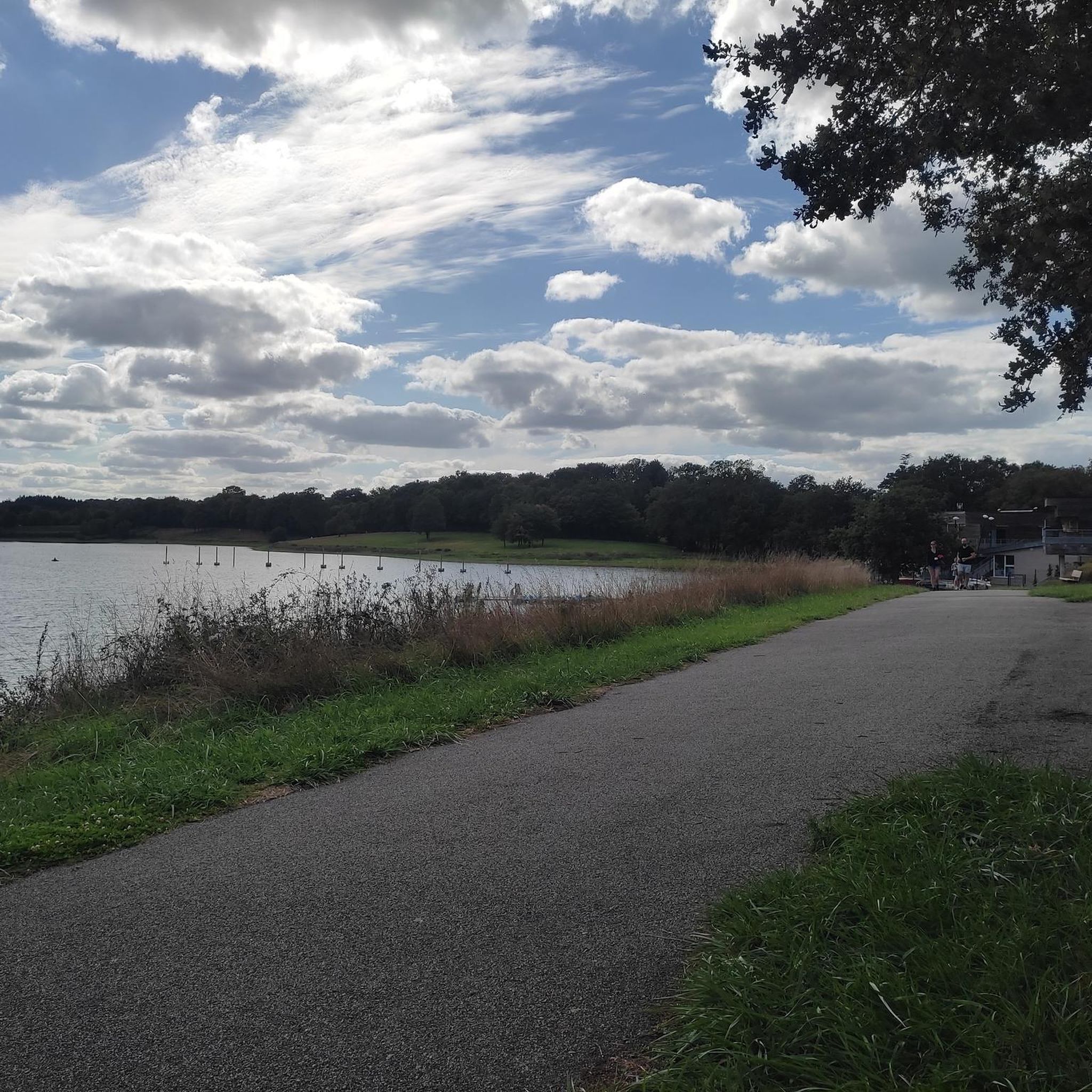
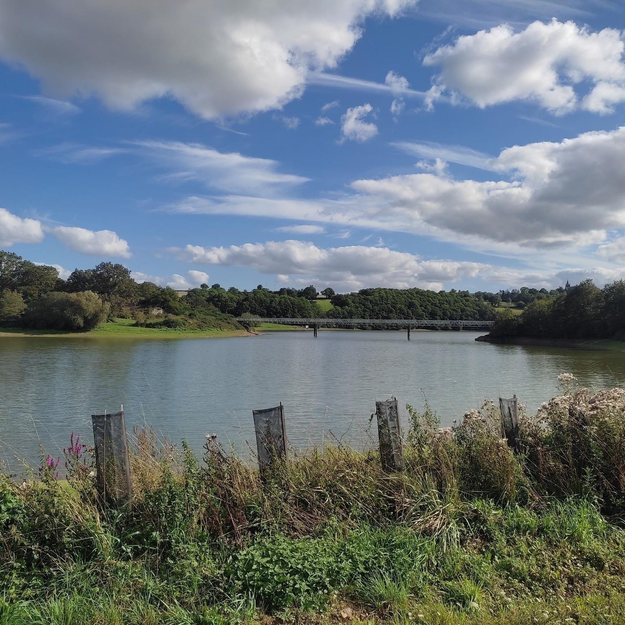
Hiking around Plan d'eau de la Haute Vilaine offers diverse landscapes centered around a large artificial lake. The region features well-maintained trails that traverse varied scenery, including areas with notable trees and habitats for numerous bird species. Located at the boundary of Ille-et-Vilaine and Mayenne departments, the area provides a refreshing natural escape. The terrain includes paths along the lake shores and through the surrounding countryside.
Best hiking trails around Plan d'eau de la Haute Vilaine
- The most popular hiking…
Last updated: July 4, 2026
4.5
(13)
112
hikers
7.17km
01:53
60m
60m
Easy hike. Great for any fitness level. Easily-accessible paths. Suitable for all skill levels.
4.6
(14)
117
hikers
10.6km
02:49
100m
100m
Moderate hike. Good fitness required. Easily-accessible paths. Suitable for all skill levels.

Sign up for free
5.0
(1)
11
hikers
16.6km
04:23
160m
160m
Moderate hike. Good fitness required. Easily-accessible paths. Suitable for all skill levels.
4.3
(4)
8
hikers
7.13km
01:54
80m
80m
Easy hike. Great for any fitness level. Easily-accessible paths. Suitable for all skill levels.
5.0
(2)
16
hikers
21.0km
05:28
140m
140m
Hard hike. Very good fitness required. Easily-accessible paths. Suitable for all skill levels.
Get access to more routes and recommendations from other explorers.
Sign up for free
Already have an account?
Our route recommendations are based on thousands of hikes, rides, and runs completed by other people on komoot.
Start today with a free account
Your next adventure awaits.
Login or Signup
Popular around Plan d'eau de la Haute Vilaine



Tips from the Community

Superb walk on a path in the undergrowth or near the water. Departure from the La Chapelle Erbree cemetery car park
0
0

The town has a rich heritage: the Plessis castle, the Pinel chapel, the church, the hamlet of La Fauconnerie. Also see: the Moulin aux Moines and Moulin Neuf.
1
0
Frequently Asked Questions
How many hiking trails are available around Plan d'eau de la Haute Vilaine?
There are over 50 hiking trails available around Plan d'eau de la Haute Vilaine, offering a wide range of options for different preferences and fitness levels. The komoot community has explored these routes over 1200 times.
What kind of hiking difficulty can I expect around Plan d'eau de la Haute Vilaine?
The area offers a diverse range of difficulties. You'll find over 28 easy routes, 19 moderate trails, and 3 more challenging hikes. This ensures there's something for everyone, from leisurely strolls to more vigorous explorations.
Are there many circular hiking routes around the lake?
Yes, the Plan d'eau de la Haute Vilaine is well-known for its circular routes. A primary 14.5 km circuit encircles the lake, and a footbridge allows for the creation of two shorter 7.2 km loops on either the east or west side. Many of the trails in the area, such as the La Chapelle Erbree loop from La Grande Ville Cuite, are also circular.
Are there family-friendly hiking options at Plan d'eau de la Haute Vilaine?
Absolutely. The area features easy paths suitable for all skill levels, making it ideal for families. The Base de Loisirs de la Haute-Vilaine, located 8 km from Vitré, also offers amenities like picnic areas and children's play areas, complementing a family day out. Consider an easy route like Le Bois des Regrétis loop from Saint-M'Hervé for a pleasant family walk.
What are the natural features and landscapes I can see while hiking here?
Hikers can explore a variety of landscapes, including the expansive lake itself, diverse woodlands, and open countryside. The trails often feature areas with remarkable trees and habitats for numerous bird species. Educational paths are also set up along the banks to highlight local flora and fauna.
What do other hikers enjoy the most about hiking in Plan d'eau de la Haute Vilaine?
The area is highly rated by the komoot community, with an average score of 4.5 stars from over 190 reviews. Hikers often praise the diverse landscapes, the well-maintained trails, and the serene backdrop provided by the large lake, making it a refreshing escape into nature.
Is there parking available for hikers at Plan d'eau de la Haute Vilaine?
Yes, parking facilities are available, particularly at the Base de Loisirs de la Haute-Vilaine. This leisure base serves as a convenient starting point for many trails around the lake.
Can I reach Plan d'eau de la Haute Vilaine using public transport?
While the region is accessible, direct public transport options to the immediate vicinity of the lake or the leisure base might be limited. It's advisable to check local transport schedules from nearby towns like Vitré for the most current information on bus services or other connections.
What is the best time of year to go hiking around Plan d'eau de la Haute Vilaine?
The Plan d'eau de la Haute Vilaine is enjoyable throughout much of the year. Spring and autumn offer pleasant temperatures and beautiful scenery with changing foliage. Summer is also popular, especially with the amenities at the leisure base. Winter hiking is possible, but conditions may vary, so checking local weather is always recommended.
Are there any longer, more challenging routes for experienced hikers?
Yes, for those seeking a longer challenge, there are routes like the La Chapelle Erbree loop from Saint-M'Hervé, which is 16.6 km. Additionally, a 26 km loop allows hikers to explore the surrounding countryside and offers views of the fortified Château des Nétumières. The Étang du Moulin aux Moines – Chapelle du Pinel loop from Erbrée is another difficult option, spanning nearly 21 km.
Are dogs allowed on the hiking trails around Plan d'eau de la Haute Vilaine?
Generally, dogs are welcome on trails in natural areas, but it's always best to keep them on a leash, especially in areas with wildlife or near other visitors. Please respect local signage regarding pet policies, particularly around sensitive natural habitats or designated leisure areas.
Are there any historical landmarks or points of interest along the trails?
Yes, a longer 26 km loop in the area offers charming views of the fortified Château des Nétumières, a 15th-century castle, as you explore the surrounding countryside. The region's location at the boundary of two departments also contributes to a unique regional character.
Most popular routes around Plan d'eau de la Haute Vilaine

Get inspired with the komoot mobile app


Explore more
Browse the best Hikes in other regions.
