The best road cycling routes around Réservoir de Sampolo
5.0
(3)
51
riders
6
rides
Road cycling around Réservoir de Sampolo, located in Haute-Corse, Corsica, offers routes through diverse landscapes. The region features the expansive waters of the reservoir, the dramatic Défilé de l'Inzecca gorge, and the Fiumorbo river. Cyclists encounter winding roads and mountainous terrain, characteristic of Corsica's interior, providing varied elevation changes. These routes are primarily paved, catering to road cycling enthusiasts.
Best road cycling routes around Réservoir de Sampolo
- The most popular road cycling route is Col de Sorba – Inzecca Gorge…
Last updated: July 12, 2026
3.0
(1)
5
riders
Moderate road ride. Good fitness required. Mostly well-paved surfaces and easy to ride.
9
riders
37.6km
02:23
1,070m
1,070m
Hard road ride. Very good fitness required. Mostly well-paved surfaces and easy to ride.

Sign up for free
8
riders
26.3km
01:47
880m
880m
Moderate road ride. Good fitness required. Mostly well-paved surfaces and easy to ride.
4.0
(1)
5
riders
Moderate road ride. Good fitness required. Mostly well-paved surfaces and easy to ride.
5.0
(1)
8
riders
46.2km
02:26
890m
890m
Moderate road ride. Good fitness required. Mostly well-paved surfaces and easy to ride.
Our route recommendations are based on thousands of hikes, rides, and runs completed by other people on komoot.
Start today with a free account
Your next adventure awaits.
Login or Signup

Tips from the Community

This charming 16th-century village is surrounded by the Marmanu and Sorba forests. The village once marked the end of the long Mare è Monti Livantinu hiking trail. The route now extends to Vivario. Don't miss the Neptune Fountain in the village center.
0
0

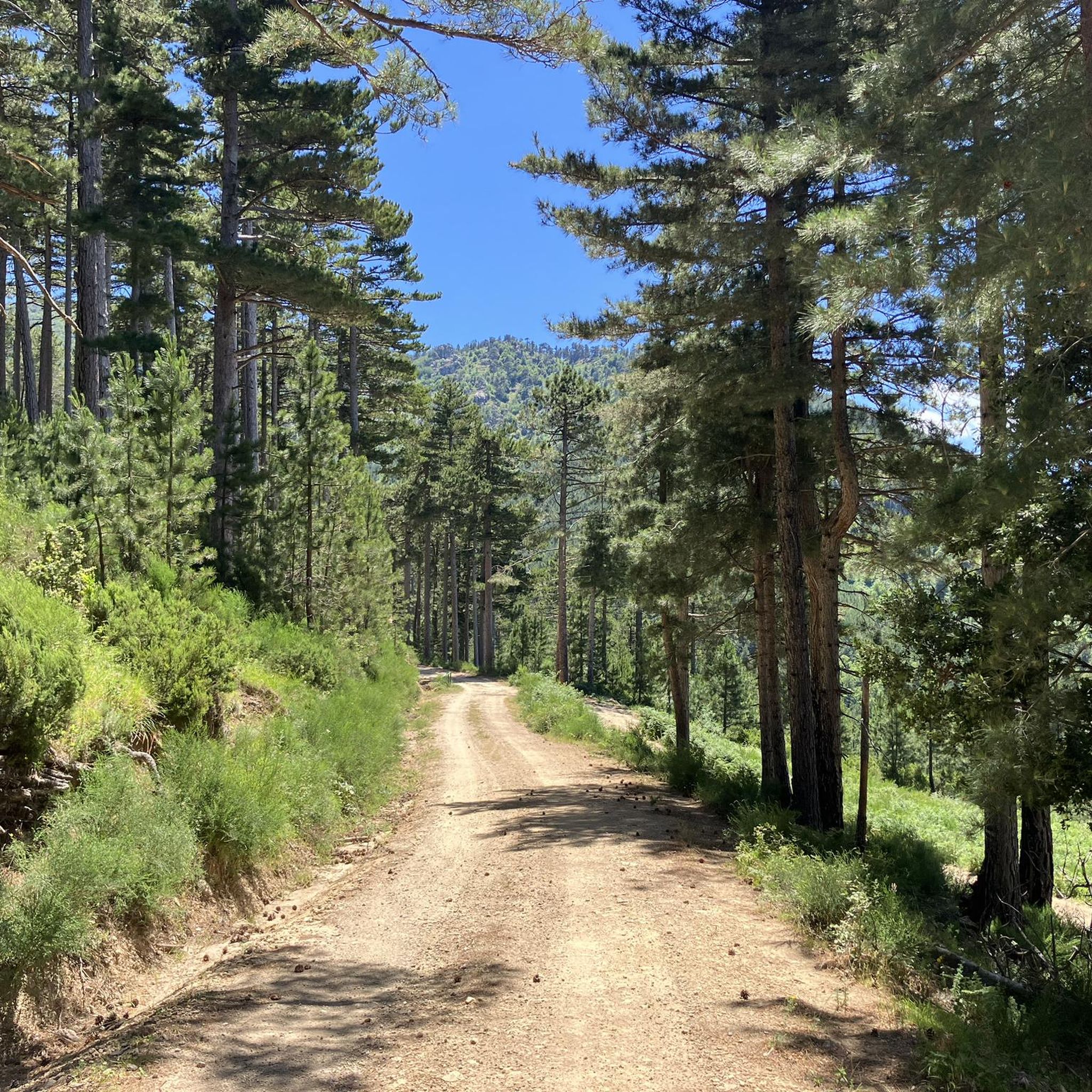
The Route Forestière 6 was a road in Corsica established in 1854 by the Décret Imperial 1782. It was built to develop one of Corsica's forests for the timber industry. Operated by the state, it had the status of a national road. The F6 branched off from the National Road 198 south of Aléria and led to Vivario. It was 45 kilometers long. It was downgraded in 1973.
1
0

Beautifully situated, quiet place with a great view.
0
0

a smal restaurant and a small shop with local products
0
0

This 16th century village is the starting point for bike or walking tours in the forests of Marmanu and Sorba. To see: the sculpture of Neptune in homage to the god of the sea.
0
0

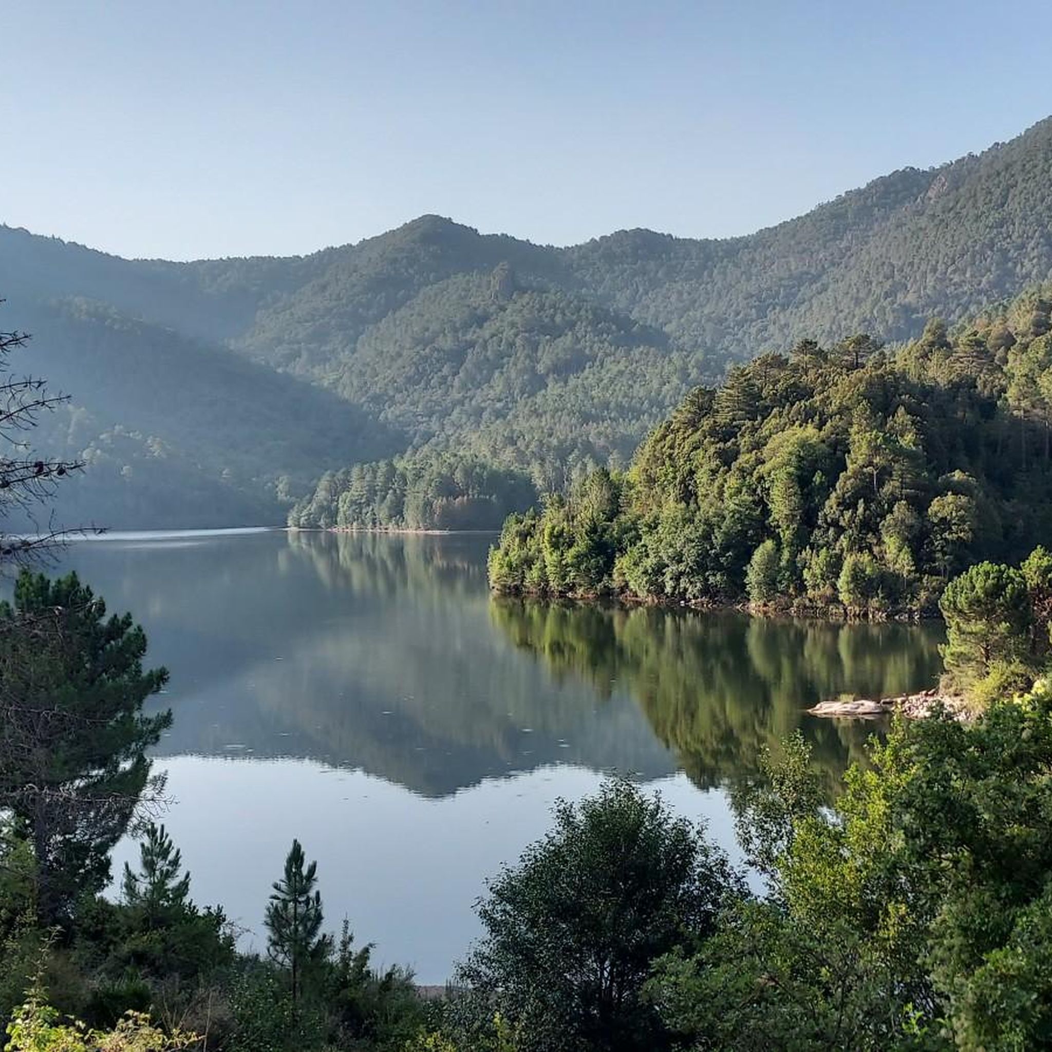
At the exit of the Sampolo tunnel, you can see the eponymous reservoir on the left. Made up of a dam built between 1987 and 1991, this 24-hectare water reserve is used for electricity production in the region. Nestled in the middle of lush greenery, this place exudes tranquility.
0
0


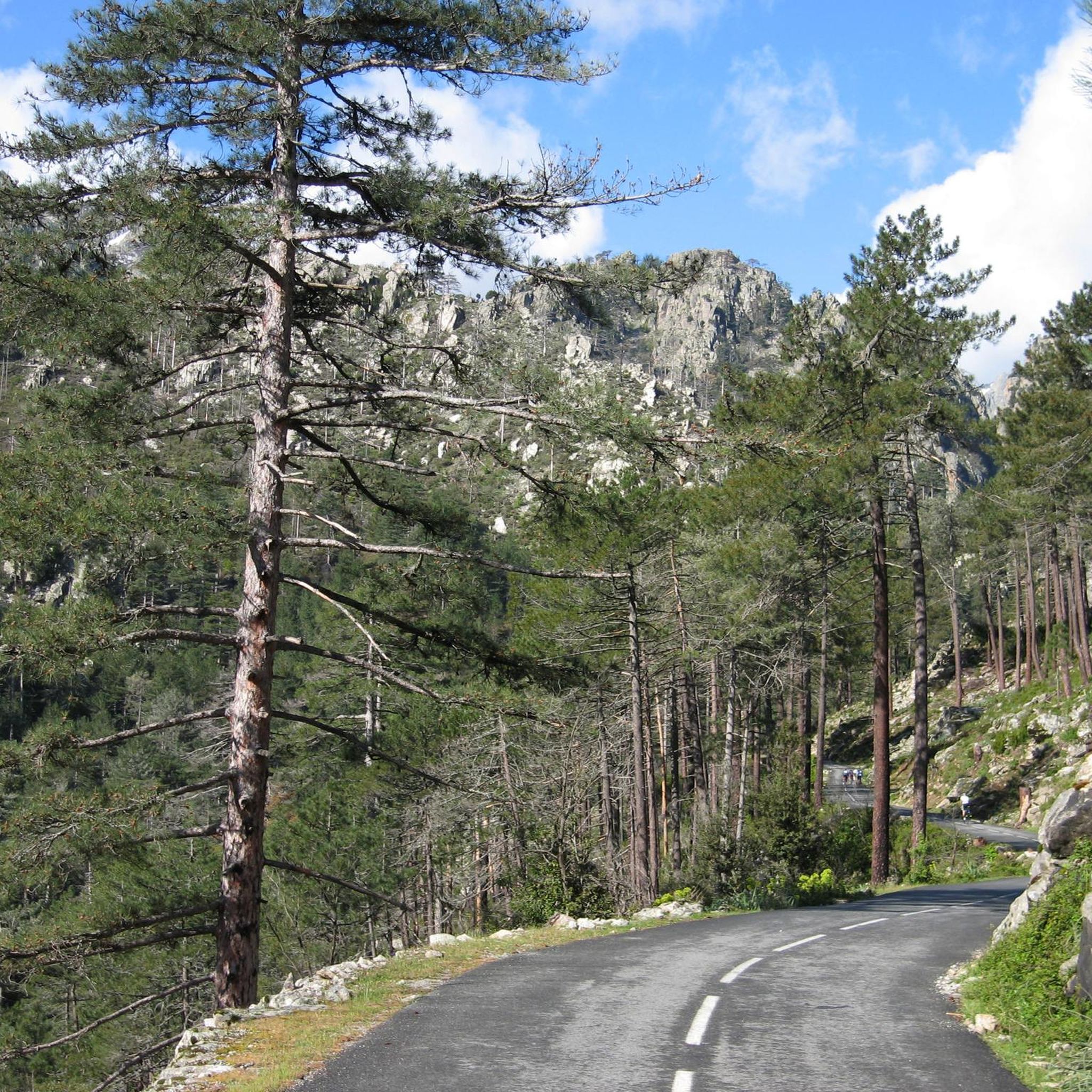
A road with very nice views! The bitumen is worthy of Corsican roads, so a few potholes but it's worth it! You will come across wild goats and pigs!
0
0
Frequently Asked Questions
How many road cycling routes are available around Réservoir de Sampolo?
There are 5 road cycling routes around Réservoir de Sampolo. These routes cater to different fitness levels, with 3 classified as moderate and 2 as difficult.
What kind of terrain can I expect on road cycling routes in this region?
The road cycling routes around Réservoir de Sampolo feature mostly paved surfaces, winding roads, and mountainous terrain. You'll encounter varied elevation changes as you navigate through diverse landscapes, including serene reservoir views and dramatic gorges, characteristic of the Parc Naturel Régional de Corse.
Are there any challenging road cycling routes with significant elevation gain?
Yes, the region offers routes with substantial elevation gain. For example, the Col de Sorba – Inzecca Gorge loop from Réservoir de Trévadine is a difficult 48.5 km route with over 1200 meters of ascent. Another challenging option is the Fiumorbo Loop, which covers 37.6 km with over 1000 meters of climbing.
What natural features or landmarks can I see along the road cycling routes?
Cyclists can enjoy the expansive waters of the Réservoir de Sampolo and the impressive Barrage du Sampolo dam. Many routes pass through the dramatic Défilé de l'Inzecca gorge, a Natura 2000 site known for its preserved natural beauty. The Fiumorbo river also features prominently in the scenic beauty of the area.
Are there any loop road cycling routes available?
Yes, several routes are designed as loops, allowing you to start and end at the same point. Popular options include the Col de Sorba – Inzecca Gorge loop from Réservoir de Trévadine, the Fiumorbo Loop, and the Inzecca Gorge – Défilé de l'Inzecca loop from Maison-Pieraggi.
What is the best season for road cycling around Réservoir de Sampolo?
Corsica generally offers pleasant cycling conditions outside of the peak summer heat. Spring and autumn are often ideal, providing milder temperatures and vibrant landscapes. While the region can be cycled year-round, winter might present cooler temperatures and potentially more challenging weather in the mountainous areas.
Are there family-friendly road cycling options near Réservoir de Sampolo?
The routes around Réservoir de Sampolo are generally classified as moderate to difficult due to winding roads and significant elevation changes. While there are no routes specifically listed as 'easy', families with older, experienced cyclists may find the moderate routes like the Neptune Fountain of Ghisoni – Col de Sorba loop from Ghisoni more manageable.
Where can I find parking for road cycling near Réservoir de Sampolo?
Specific parking information for each route start point is often available on the individual komoot tour pages. Generally, you can find parking in nearby villages like Ghisoni or at designated points along the D344 road which runs along the north shore of the reservoir.
What do other road cyclists say about the routes in Réservoir de Sampolo?
The road cycling routes in Réservoir de Sampolo are highly rated by the komoot community, with an average score of 5.0 stars from 5 reviews. Cyclists often praise the serene reservoir views, the dramatic gorges, and the engaging winding mountainous roads that define the region's cycling experience.
Can I find cafes or restaurants along the road cycling routes?
While the immediate area around the reservoir is more natural, you can typically find cafes and restaurants in the nearby villages such as Ghisoni. It's advisable to check opening times and plan your stops, especially during off-peak seasons, as services may be limited in more remote sections.
Are there any opportunities for wild swimming near the road cycling routes?
The Réservoir de Sampolo itself is open for fishing, but specific designated wild swimming spots directly along the cycling routes are not explicitly mentioned. However, the Fiumorbo river flows through the area, and Corsica is known for its natural pools and rivers, so exploring local options might reveal suitable spots. Always exercise caution and respect local regulations.
Is public transport available to reach the Réservoir de Sampolo area for cycling?
Public transport options directly to the Réservoir de Sampolo for cyclists with bikes can be limited due to the region's mountainous and rural nature. It is generally recommended to travel by car to reach the starting points of the routes. For more detailed information on regional transport, you might consult local Corsican transport services.
Are GPX tracks available for the road cycling routes?
Yes, all routes on komoot, including those around Réservoir de Sampolo, provide GPX tracks for navigation. You can download the GPX file directly from each individual tour page, such as for the Bocca Verde loop from Ghisoni, to use with your GPS device or smartphone.

Get inspired with the komoot mobile app


Explore more
Browse the best Road cycling routes in other regions.
