The best MTB trails around Réservoir de Sampolo
5.0
(8)
55
riders
6
rides
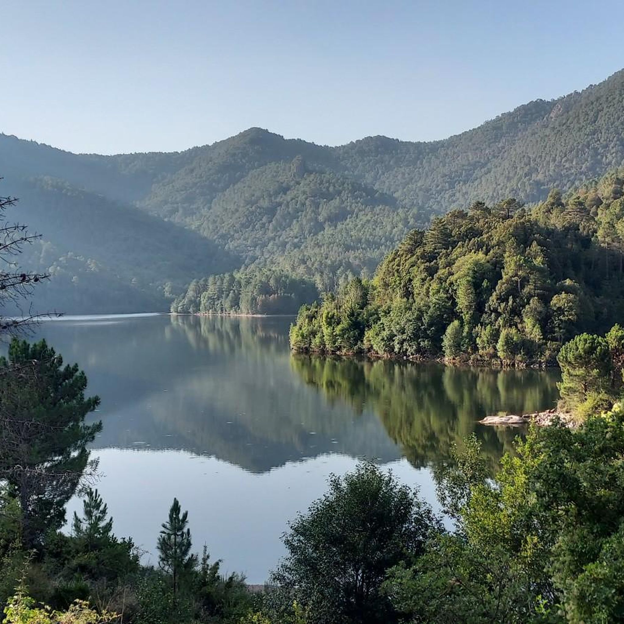
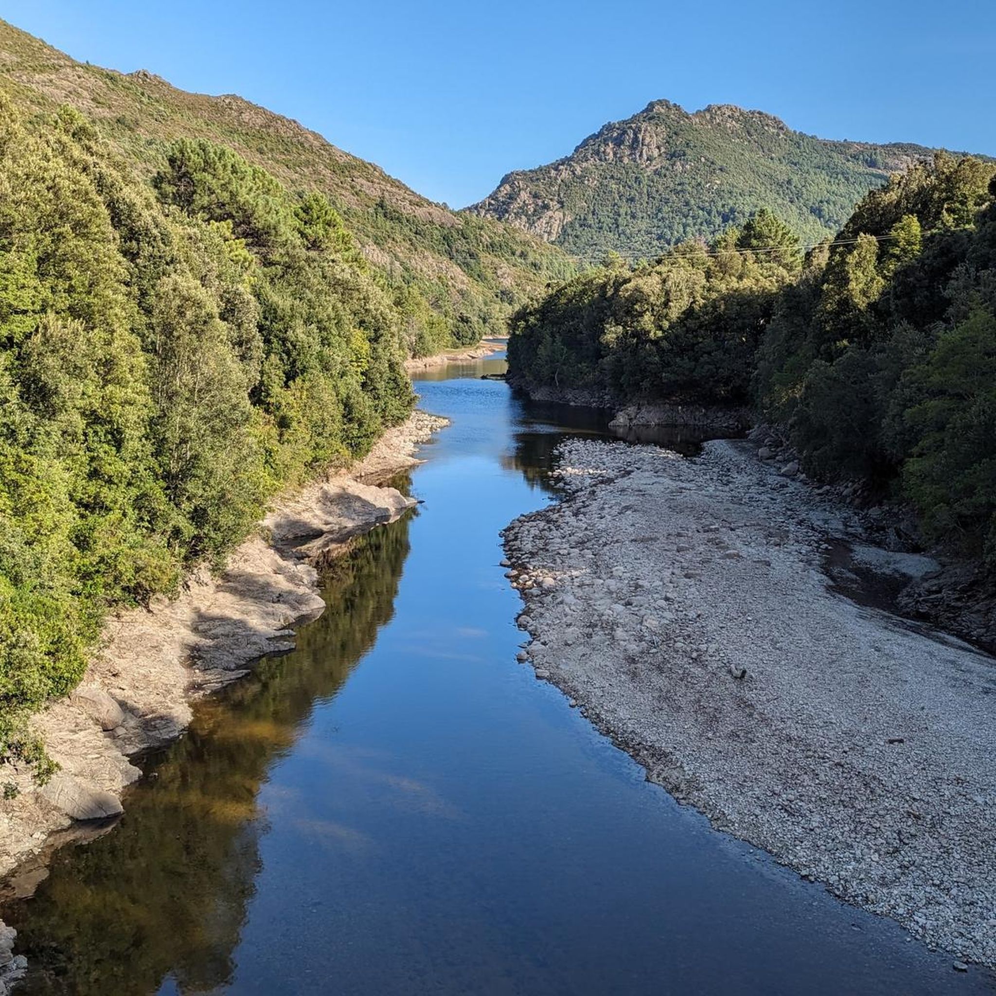
Mountain biking around Réservoir de Sampolo offers diverse and rugged natural features within Corsica's interior. The region is characterized by the Sampolo Reservoir itself, formed by the Barrage du Sampolo on the Fiumorbo River, and the dramatic Défilé de l'Inzecca gorge. Riders can expect varied terrain, including vast forests, rivers, and high-altitude plateaus, providing a range of challenges. The landscape features unspoilt nature, with technical and stony trails common throughout the area.
Best mountain bike trails around Réservoir de Sampolo
…Last updated: June 28, 2026
5.0
(1)
2
riders
14.9km
01:37
590m
600m
Moderate mountain bike ride. Good fitness required. Suitable for all skill levels.
5.0
(3)
5
riders
36.6km
03:37
1,030m
1,030m
Hard mountain bike ride. Very good fitness required. Advanced riding skills necessary. Some portions of the route may require you to push your bike.

Sign up for free
1
riders
28.3km
02:53
840m
840m
Hard mountain bike ride. Good fitness required. Advanced riding skills necessary. Some portions of the route may require you to push your bike.
12
riders
95.6km
08:09
2,660m
2,650m
Hard mountain bike ride. Very good fitness required. Advanced riding skills necessary. Some portions of the route may require you to push your bike.
5.0
(3)
20
riders
51.6km
03:02
480m
480m
Moderate mountain bike ride. Good fitness required. Suitable for all skill levels.
Our route recommendations are based on thousands of hikes, rides, and runs completed by other people on komoot.
Start today with a free account
Your next adventure awaits.
Login or Signup

Tips from the Community

This charming 16th-century village is surrounded by the Marmanu and Sorba forests. The village once marked the end of the long Mare è Monti Livantinu hiking trail. The route now extends to Vivario. Don't miss the Neptune Fountain in the village center.
0
0

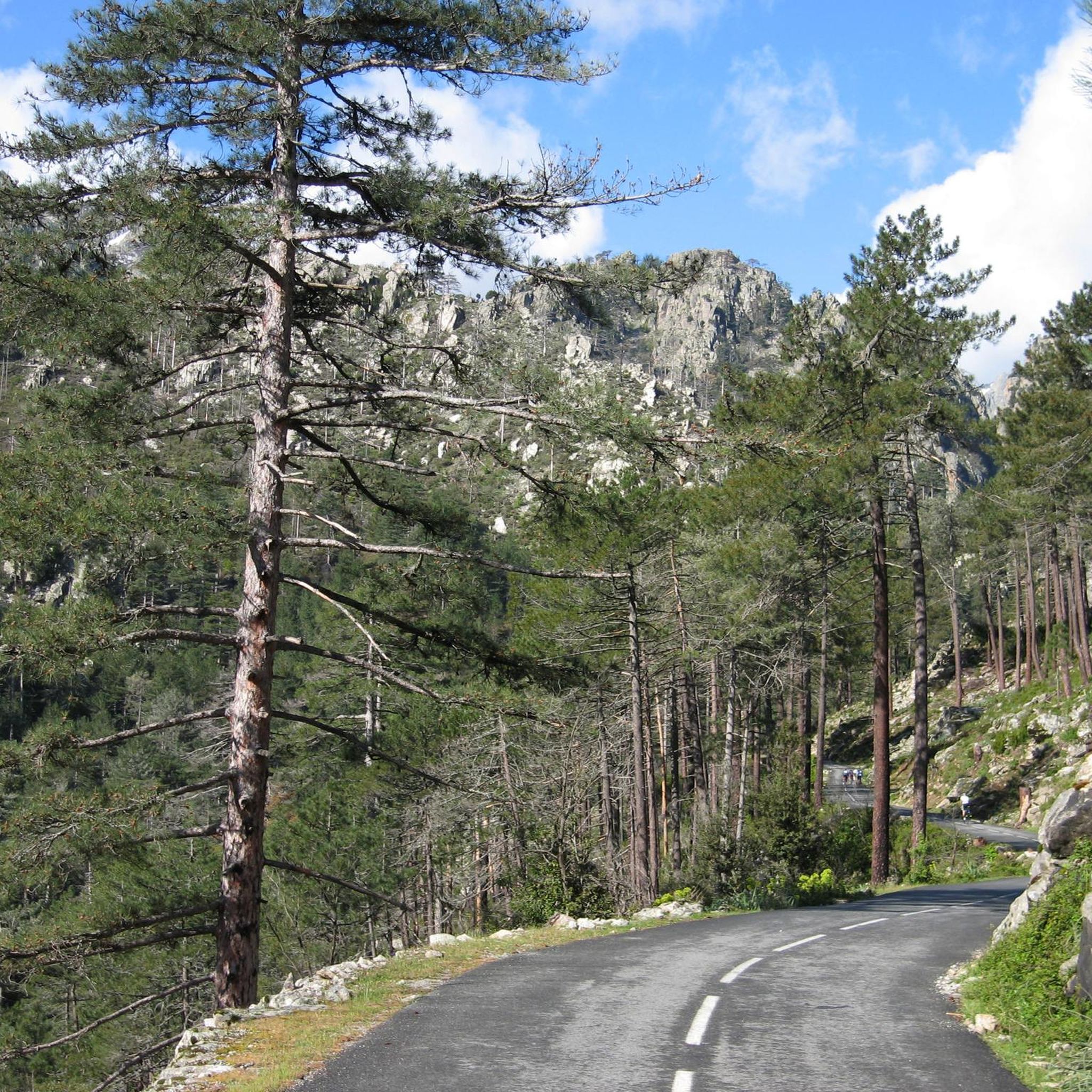
The Route Forestière 6 was a road in Corsica established in 1854 by the Décret Imperial 1782. It was built to develop one of Corsica's forests for the timber industry. Operated by the state, it had the status of a national road. The F6 branched off from the National Road 198 south of Aléria and led to Vivario. It was 45 kilometers long. It was downgraded in 1973.
1
0
The Vecchio rises on the Monte d'Oro and is initially called Agnone. This river is best known for its Cascades des Anglais, which attract hundreds of tourists every day in high season. From the hamlet of Vizzavona onwards, the river is called Vecchio and you only meet very few people. Shortly after entering Canaglia, it joins the Manganello. Here the Vecchio valley becomes very lonely. On the right-hand side, far above the riverbed, the railway line winds its way along the hills, barely visible. You don't notice the busy T20, which lies behind the hills. You only see it when you get off at the Ponte Vecchio. High above us, it crosses the Vecchio valley on the new bridge. Later, the Vecchio flows into the Tavignano, which reaches the sea near Aléria.
1
0

MTB trail, light sandy ground, but easy to ride as there are also many pine needles on the sandy ground
3
0

The path is easy to navigate.
2
0

a smal restaurant and a small shop with local products
0
0

This 16th century village is the starting point for bike or walking tours in the forests of Marmanu and Sorba. To see: the sculpture of Neptune in homage to the god of the sea.
0
0
Frequently Asked Questions
What kind of terrain can I expect when mountain biking around Réservoir de Sampolo?
The Réservoir de Sampolo area in Corsica offers diverse and rugged terrain. You'll encounter a mix of mountains, vast forests, river valleys, and high-altitude plateaus. Trails are often described as technical, stony, and challenging, providing a true mountain biking experience.
Are there mountain bike trails suitable for beginners or families around Réservoir de Sampolo?
While many trails in the Réservoir de Sampolo region are challenging, there are options for varying skill levels. For example, the View of Ghisoni – Ghisoni Forest loop from Ghisoni is a moderate 14.8 km route that takes about 1 hour 37 minutes, offering a less demanding experience compared to the more difficult trails.
What are some notable natural features or landmarks I might see while mountain biking here?
You'll ride through a region rich in natural beauty. The Réservoir de Sampolo itself, formed by the Barrage du Sampolo on the Fiumorbo River, provides a scenic backdrop. The dramatic Défilé de l'Inzecca gorge, a Natura 2000 site, is a significant natural attraction with stunning scenery. The D344 road along the reservoir's north shore also offers accessible routes and viewpoints.
How many mountain bike trails are available in the Réservoir de Sampolo area?
There are 8 mountain bike trails documented in the Réservoir de Sampolo area on komoot. These routes range from moderate to difficult, catering to different levels of experience and fitness.
What is the best time of year for mountain biking around Réservoir de Sampolo?
Corsica's climate generally makes spring and autumn ideal for mountain biking, offering pleasant temperatures and avoiding the intense heat of summer. However, the varied terrain means conditions can change, so always check local weather forecasts before heading out.
Are there any long-distance or challenging mountain bike routes in the area?
Yes, the Réservoir de Sampolo region is known for its challenging routes. The U Fium'Orbu – Cardo Pass loop from Barrage de Trévadine is a difficult 65.1 km trail with significant elevation gain, typically taking over 5 hours to complete. Another demanding option is the U Fium'Orbu – Cardo Pass loop from Tattone, which is 65.9 km long and also difficult.
Can I find circular mountain bike routes around Réservoir de Sampolo?
Many of the mountain bike routes in this area are designed as loops, allowing you to start and finish at the same point. Examples include the Col d'Erbajo, 920 m above sea level. – Morello Pass loop from Vezzani and the View of Ghisoni – Ghisoni Forest loop from Ghisoni.
What do other mountain bikers say about the trails in Réservoir de Sampolo?
The mountain bike trails around Réservoir de Sampolo are highly rated by the komoot community, with an average score of 5.0 stars from over 10 reviews. Riders often appreciate the rugged river valleys, dense forests, and the immersive experience in Corsica's unspoiled natural landscape.
Is there parking available near the mountain bike trailheads?
While specific parking areas for each trailhead are not always explicitly listed, the D344 road runs along the north shore of the Réservoir de Sampolo, and starting points for routes like those from Barrage de Trévadine or Vezzani would typically have nearby parking options. It's advisable to check the specific tour details on komoot for more precise parking information.
Are there any trails that offer sea views, even from a distance?
Yes, some trails in the wider region offer distant sea views. For instance, the Antisanti – Beautiful view of the sea in the distance loop from Teppa is a difficult 28.3 km route that provides glimpses of the sea, adding another dimension to the scenic rides.
What is the general difficulty level of mountain biking in the Réservoir de Sampolo area?
The Réservoir de Sampolo area is predominantly known for its challenging mountain biking. Out of the 8 available routes, 6 are classified as difficult, and 2 as moderate. This indicates that most trails require good fitness and technical bike handling skills due to the stony and rugged terrain.

Get inspired with the komoot mobile app


Explore more
Browse the best MTB trails in other regions.
