The best road cycling routes around Lac de Rabuons
4.7
(59)
2,934
riders
14
rides
Road cycling around Lac de Rabuons is characterized by a high-mountain alpine environment within the Mercantour massif, featuring dramatic scenery and towering peaks. The region offers challenging ascents on well-paved roads, connecting valleys like the Tinée and Ubaye. While direct road bike access to Lac de Rabuons itself is not typical, the surrounding area provides extensive road cycling opportunities. Cyclists can expect significant elevation gains and alpine vistas across this mountainous landscape.
Best road cycling routes around Lac de Rabuons
…Last updated: July 9, 2026
4.7
(17)
691
riders
Hard road ride. Very good fitness required. Mostly well-paved surfaces and easy to ride.
5.0
(10)
701
riders
Hard road ride. Very good fitness required. Mostly well-paved surfaces and easy to ride.

Sign up for free
5.0
(2)
253
riders
70.1km
04:18
1,850m
1,860m
Hard road ride. Very good fitness required. Some segments of this route may be unpaved and difficult to ride.
5.0
(1)
101
riders
91.3km
05:14
2,140m
2,140m
Hard road ride. Very good fitness required. Mostly well-paved surfaces and easy to ride.
4.8
(18)
487
riders
95.9km
06:25
3,180m
3,180m
Hard road ride. Very good fitness required. Mostly well-paved surfaces and easy to ride.
Get access to more routes and recommendations from other explorers.
Sign up for free
Already have an account?
Our route recommendations are based on thousands of hikes, rides, and runs completed by other people on komoot.
Start today with a free account
Your next adventure awaits.
Login or Signup
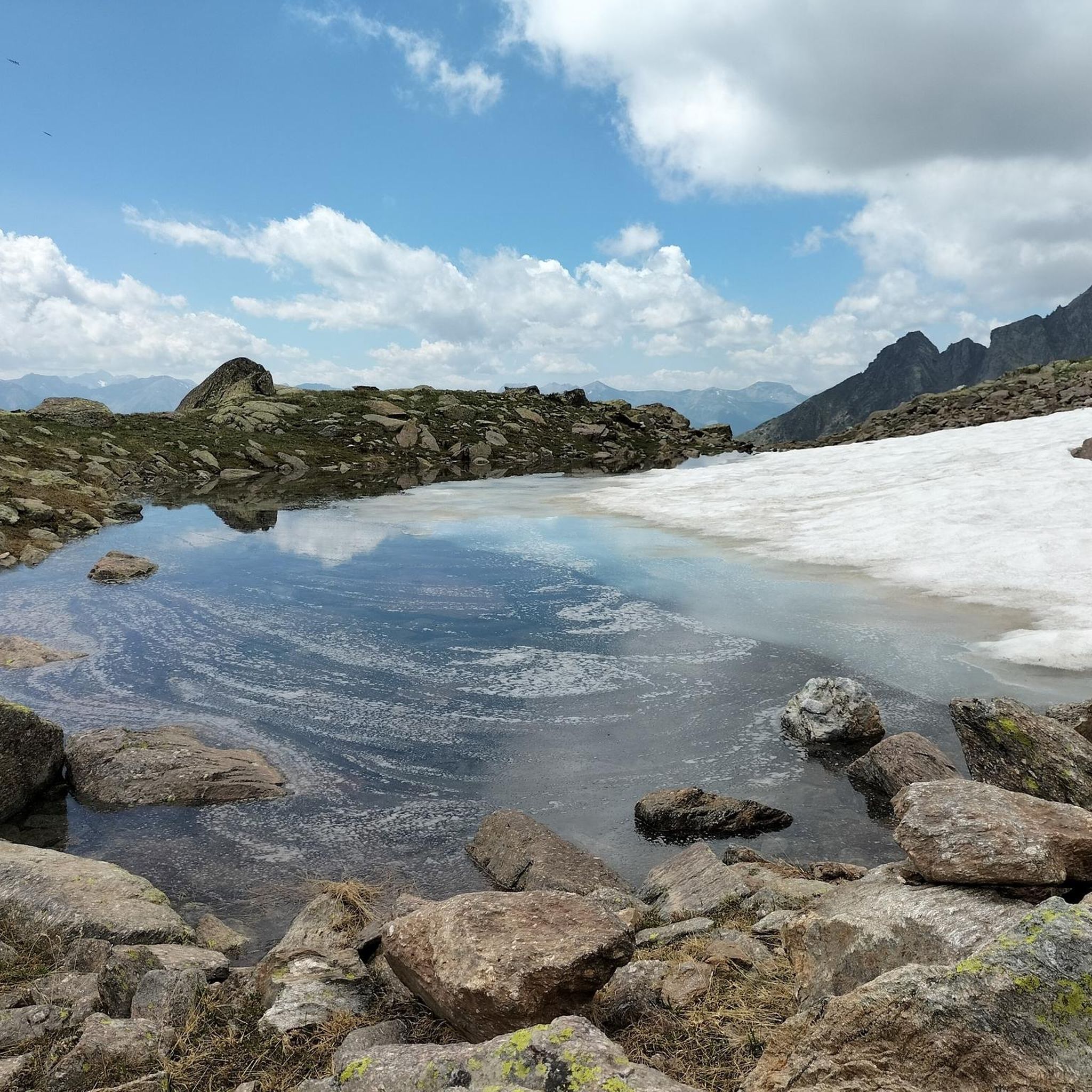
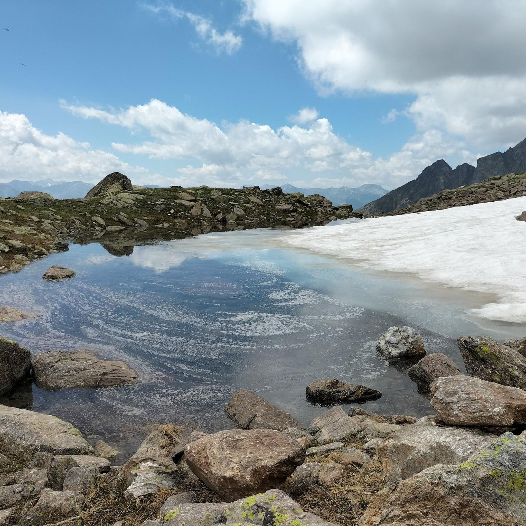
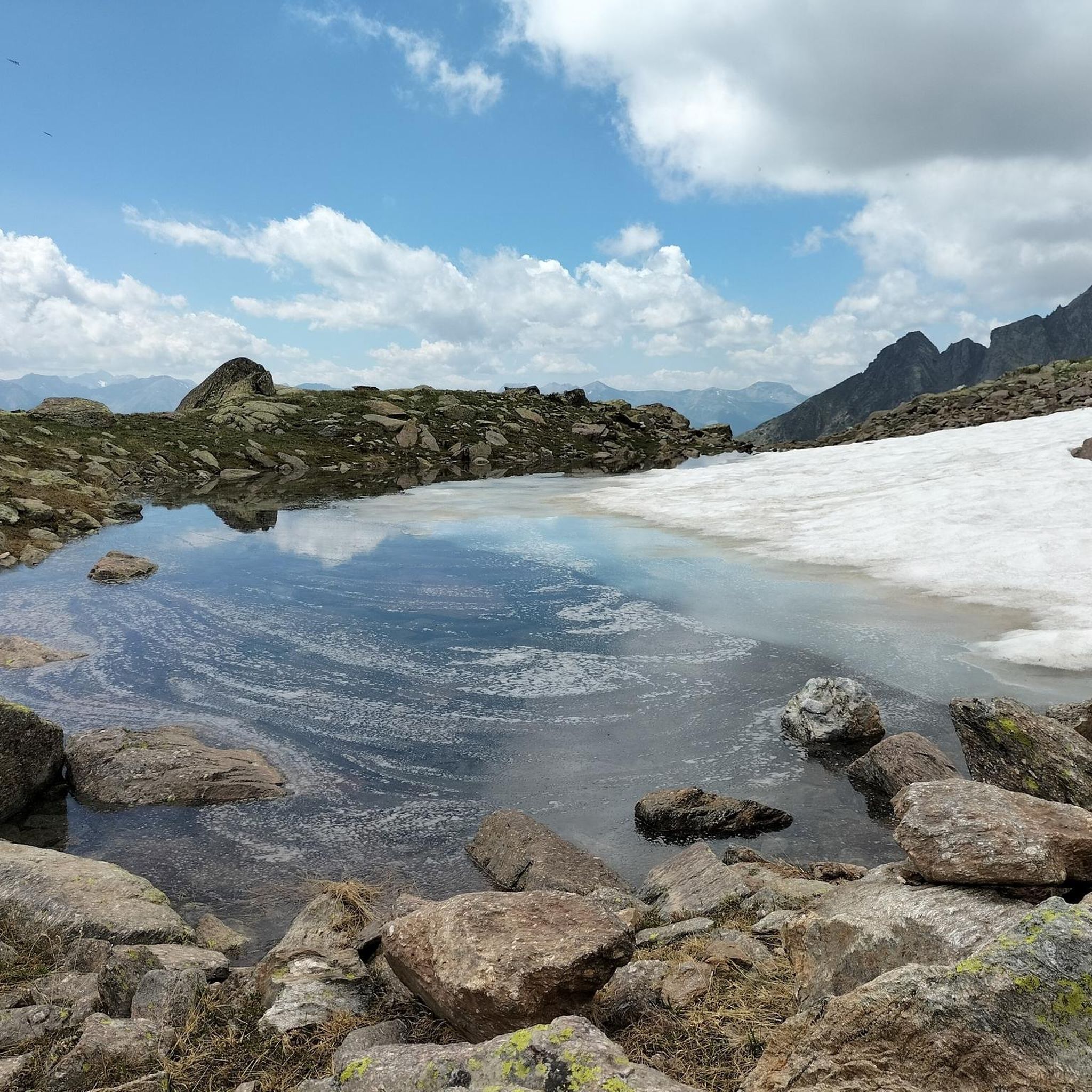
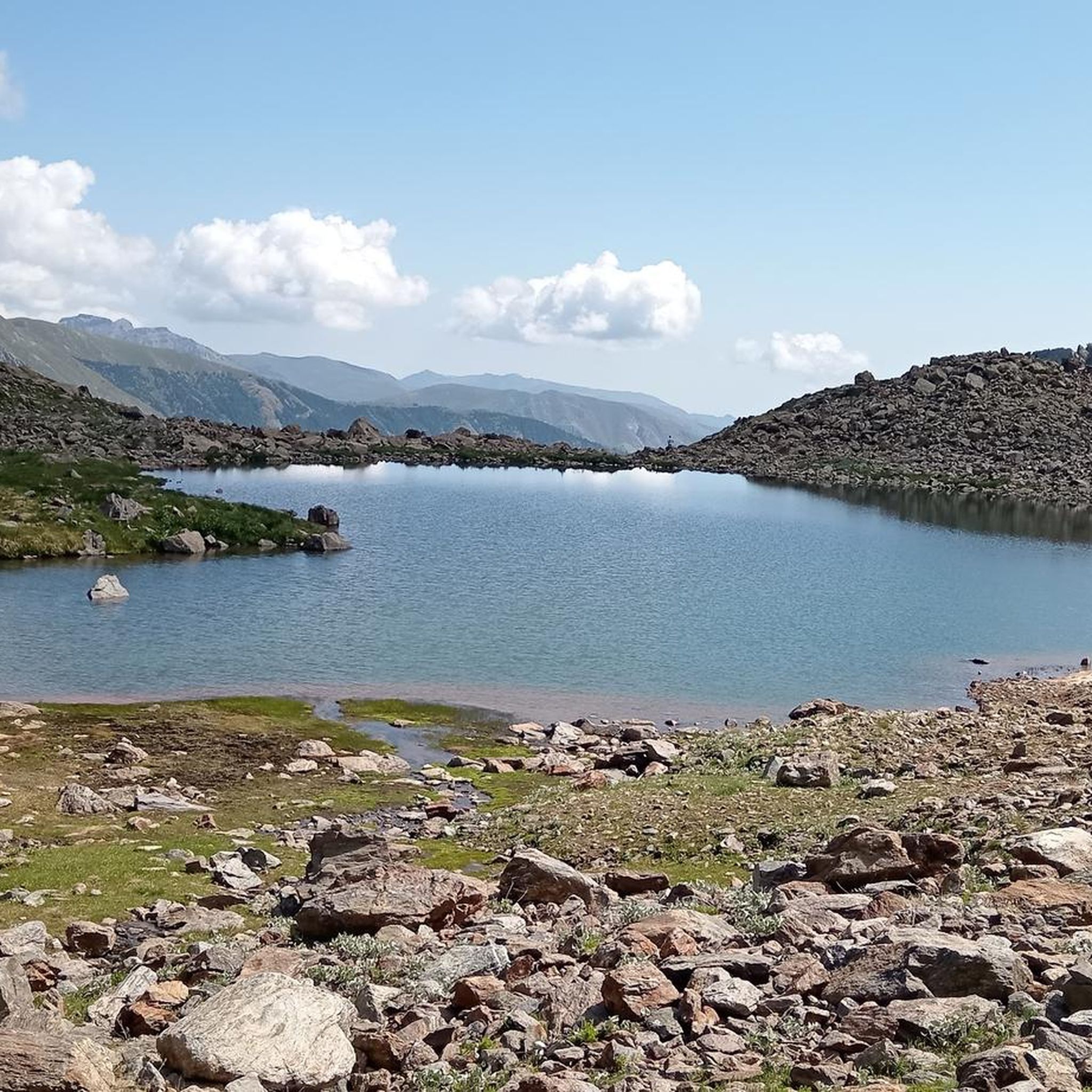

Tips from the Community

You can have a drink and enjoy some snacks there. But only in the summer. In winter the pass is closed.
0
0

The Col de la Couillole is a mountain pass in the Massif du Mercantour-Argentera of the French Alps, situated at an altitude of 1,678 m (5,505 ft) in the Alpes-Maritimes department, France. The road connection is open for six to seven months of the year, allowing travel between the Cians gorges in the west and the Tinée valley in the east.
0
0
The Col de la Couillole is a mountain pass in the Massif du Mercantour-Argentera of the French Alps, situated at an altitude of 1,678 m (5,505 ft) in the Alpes-Maritimes department, France. The road connection is open for six to seven months of the year, allowing travel between the Cians gorges in the west and the Tinée valley in the east.
0
0
Col Saint Martin (el. 1500 m.) is a high mountain pass in the Alps in the department of Alpes-Maritimes in France.[1] It is traversed by the D-2205 highway.[2] The place has been crossed at the Tour de France road cycling race in 1973, 1975 and 2020, as well as at multiple editions of the Paris-Nice.
0
0

https://youtu.be/hC4eceIyyMw?si=515BXh8fRIHsMTkt At the top, there's a wooden stall with snacks and drinks; that's it, a road pass.
0
0

A manageable town with a small market square surrounded by bakeries, grocery stores and restaurants.
0
0

abandoned building without water
0
0
hill with breathtaking views about three km from Bonette
0
0
Frequently Asked Questions
How many road cycling routes are available around Lac de Rabuons?
There are over 15 road cycling routes documented on komoot for the Lac de Rabuons area, offering a variety of challenging ascents and scenic rides through the high-mountain alpine environment.
What is the typical terrain like for road cycling in the Lac de Rabuons area?
The terrain is characterized by a high-mountain alpine environment within the Mercantour massif, featuring dramatic scenery and towering peaks. Cyclists can expect significant elevation gains on well-paved roads, connecting valleys like the Tinée and Ubaye. The routes are primarily suited for moderate to difficult ability levels.
Are there any beginner-friendly road cycling routes around Lac de Rabuons?
The road cycling routes in the Lac de Rabuons area are generally challenging, with significant elevation gains and high-mountain passes. There are no routes classified as 'easy' in this specific guide; options are primarily for moderate to difficult ability levels, making it less suitable for beginners seeking flat or gentle rides.
What are some challenging road cycling routes for experienced riders?
Experienced riders will find plenty of challenges. One demanding option is The start of Col Saint-Martin – The Waterfall - Torrent de Vens loop from Parc national du Mercantour (aire d'adhésion), a 173 km route with over 4,400 meters of elevation gain. Another difficult but rewarding ride is the Route des Grandes Alpes: Bonette Pass Variant, which includes one of Europe's highest paved roads.
Can I road cycle directly to Lac de Rabuons?
Direct road bike access to Lac de Rabuons itself is not typically feasible or recommended. The paths leading directly to the lake, such as the 'Chemin de l'Energie,' are predominantly hiking trails that may include unpaved, steep, or technical sections more suited to mountain bikes or even require pushing the bike. Road cyclists usually experience the surrounding high-mountain passes and then transition to hiking to reach the lake.
What natural features or landmarks can I expect to see while road cycling?
While road cycling in the region, you'll encounter dramatic high-mountain scenery, towering peaks like Mont Ténibre and Corborant, and breathtaking views over the Tinée valley. The area is famous for iconic climbs such as the Col de la Bonette, one of the highest paved roads in Europe. You'll also pass through forests of hazel, spruce, and larch, eventually giving way to alpine lawns.
Are there any circular road cycling routes available?
Yes, there are several circular routes. For instance, the Col de la Lombarde – Isola Village loop from Saint-Étienne-de-Tinée is a difficult 70.1 km circular path. Another option is The Waterfall - Torrent de Vens – Saint-Étienne-de-Tinée loop from Saint-Étienne-de-Tinée, which is 65 km long and leads through the Tinée valley.
What is the best time of year for road cycling in this region?
The best time for road cycling in the high-mountain Mercantour region is typically during the warmer months, from late spring to early autumn (roughly June to September), when the high mountain passes are clear of snow. Always check local weather and road conditions before planning your ride, as alpine weather can change rapidly.
Is public transport available to reach the cycling areas?
While specific public transport options directly to all trailheads might be limited due to the remote, high-mountain nature of the area, Saint-Étienne-de-Tinée, a common starting point for many routes, is generally accessible. It's advisable to check regional bus services for connections to key villages in the Tinée valley.
Where can I find parking for road cycling routes?
Parking is typically available in the villages that serve as starting points for many routes, such as Saint-Étienne-de-Tinée or Auron. When planning your route, look for designated parking areas within these towns, especially near the beginning of major climbs or loops.
Are there cafes or places to stop for refreshments along the routes?
While the routes traverse high-mountain, often remote terrain, you can find cafes and restaurants in the larger villages and towns along the valleys, such as Saint-Étienne-de-Tinée, Isola, or Auron. It's always recommended to carry sufficient water and snacks, especially on longer routes, as services can be sparse between villages.
What do other road cyclists say about the routes around Lac de Rabuons?
The road cycling routes in the Lac de Rabuons area are highly rated by the komoot community, with an average score of 4.8 stars from over 50 reviews. Reviewers often praise the challenging ascents, the breathtaking alpine vistas, and the overall exceptional experience in an unparalleled natural setting.
Are there any family-friendly road cycling options?
Given the challenging nature of the terrain with significant elevation gains and high-mountain passes, most road cycling routes directly around Lac de Rabuons are not typically considered family-friendly for younger or less experienced cyclists. Families might find more suitable, gentler cycling paths in the lower valleys or dedicated bike paths in nearby towns, rather than the high-alpine road routes featured here.
Most popular routes around Lac de Rabuons

Get inspired with the komoot mobile app


Explore more
Browse the best Road cycling routes in other regions.
