The best cycling routes around Retortillo De Soria
33
riders
10
rides
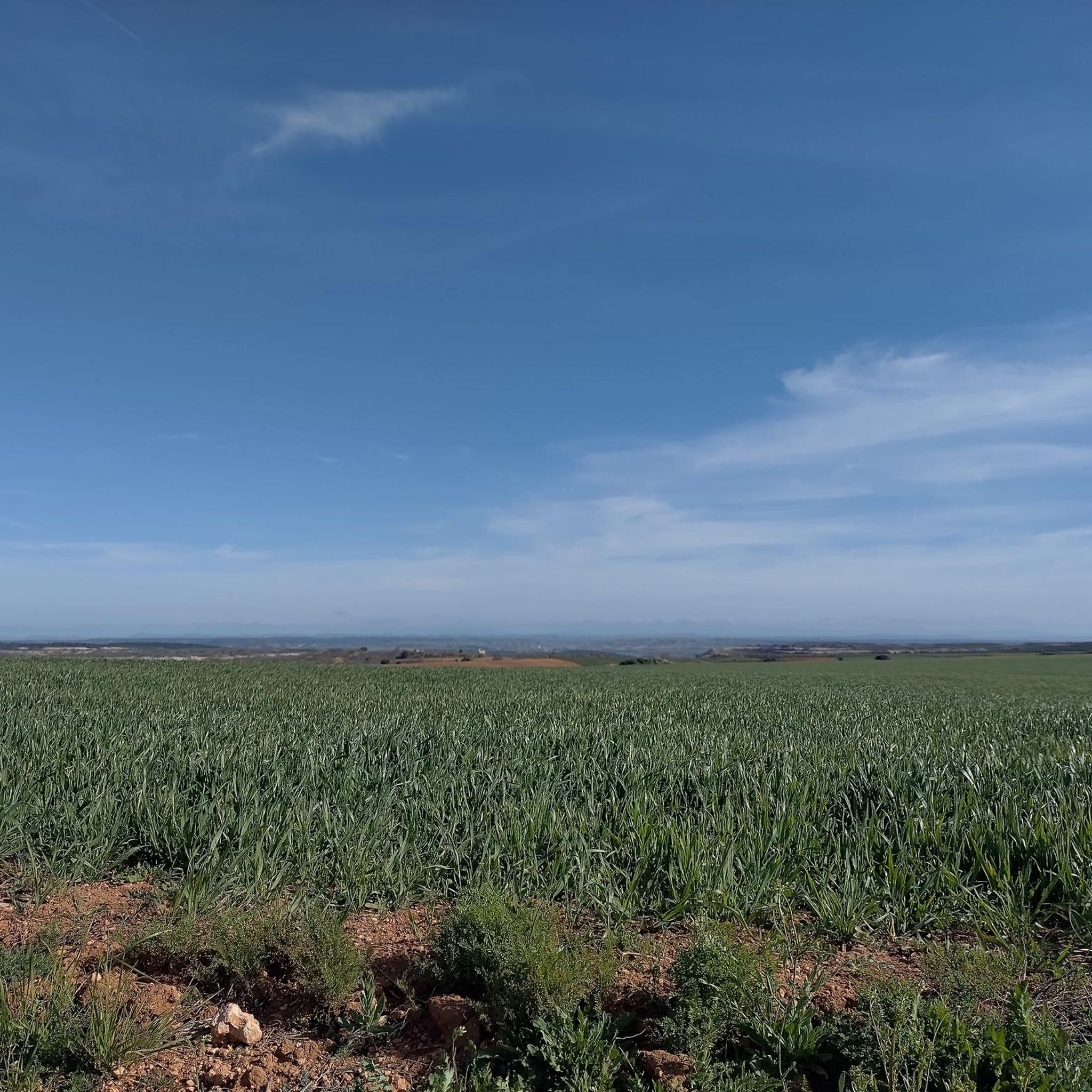
Touring cycling routes around Retortillo de Soria traverse a diverse landscape, situated on the northern slope of the Sierra de Pela. The region features a rugged topography with high elevations, approximately 4,072 feet (1,241 meters) above sea level. Cyclists encounter a mix of forests, rolling hills, and expansive plains, providing varied terrain for exploration. This sparsely populated area offers a tranquil environment, ideal for nature-connected cycling experiences.
Best touring cycling routes around Retortillo de Soria
- The most popular touring cycling…
Last updated: October 14, 2026
5
riders
Hard bike ride. Very good fitness required. Mostly paved surfaces. Suitable for all skill levels.
6
riders
77.6km
05:31
1,590m
1,590m
Hard bike ride. Very good fitness required. Mostly paved surfaces. Suitable for all skill levels.

8
riders
96.7km
07:07
1,290m
1,290m
Hard bike ride. Very good fitness required. Mostly paved surfaces. Suitable for all skill levels.
6
riders
30.5km
01:53
310m
310m
Moderate bike ride. Good fitness required. Mostly paved surfaces. Suitable for all skill levels.
3
riders
21.5km
01:41
320m
320m
Moderate bike ride. Good fitness required. Mostly paved surfaces. Suitable for all skill levels.
Get access to more routes and recommendations from other explorers.
Already have an account?
Our route recommendations are based on thousands of hikes, rides, and runs completed by other people on komoot.
Start today with a free account
Your next adventure awaits.

Other adventures around Retortillo De Soria

Tips from the Community

The short climb is worth the view.
4
0

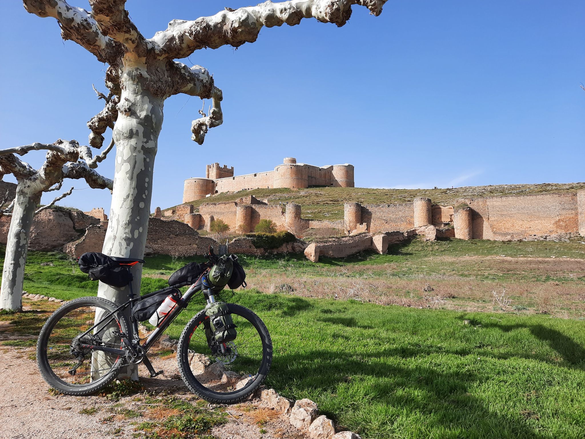
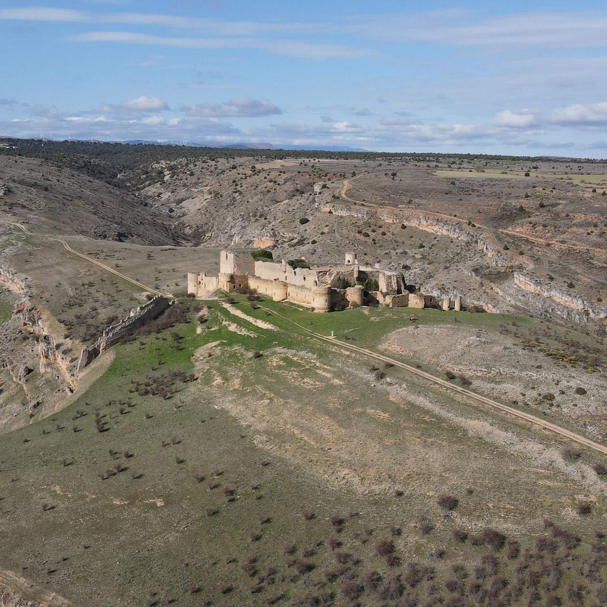
In the midst of the battlefield between Christians and Muslims lay this beautiful castle.
6
0
Small village with motorcycle restaurant
6
0
One of the beautiful "black villages" of Spain.
6
0

Nice area for hiking and mountain biking trails
0
0
Nice area for hiking and mountain biking trails
0
0
Nice area for hiking and mountain biking trails
0
0
Nice area for hiking and mountain biking trails
0
0
Frequently Asked Questions
What kind of terrain and elevation can I expect on touring cycling routes around Retortillo de Soria?
The region offers a diverse and rugged topography, situated on the northern slope of the Sierra de Pela. You'll encounter a mix of forests, rolling hills, and expansive plains. Routes often feature significant elevation changes, with the area's high elevation of approximately 1,241 meters (4,072 feet) above sea level contributing to challenging climbs and rewarding vistas. For example, the route El Picoz, Alto Rey Peak – Galve de Sorbe Castle loop from Campisábalos includes over 1,500 meters of elevation gain.
Are there any historical or cultural routes I can explore by touring bike in Retortillo de Soria?
Yes, Retortillo de Soria is rich in history and lies along significant historical routes. You can cycle parts of the Ruta de la Lana (Wool Route) and the famous Camino del Cid. These routes offer a unique blend of cultural immersion and scenic cycling through the region's preserved natural environments. The village itself also boasts medieval architecture, including a walled enclosure and the Gothic church of San Pedro.
What are some notable natural features or landmarks to look out for while cycling in the area?
Retortillo de Soria is surrounded by impressive natural features. Cyclists can explore areas near the Sierra de Pela for mountainous routes and breathtaking views. Other natural heritage sites include the Garganta del Río Talegones, Praos de Nieves, and Cueva de los Murecos. You might also encounter important ecological sites like the Pinar de Losana. For specific natural monuments, consider visiting the Source of the Aguisejo River or the Caracena River Canyon.
Are there any circular touring cycling routes available?
Yes, several touring cycling routes in the area are designed as loops, offering convenient starting and ending points. An example is the Campisábalos from Galve de Sorbe — circular by Albendiego and the Church of Santa Coloma, which is a 42 km loop. Another option is the Alto de la Carrascosa – Berlanga de Duero loop from Lumías, a longer 96.7 km route.
What is the best time of year to go touring cycling in Retortillo de Soria?
Given the region's high elevation and diverse terrain, spring and autumn generally offer the most pleasant conditions for touring cycling. These seasons provide milder temperatures and beautiful landscapes, avoiding the intense heat of summer and the colder, potentially snowy conditions of winter. The area's tranquil countryside is particularly enjoyable during these times.
What are some points of interest or attractions I can visit along the touring cycling routes?
Beyond the natural beauty, you can discover several historical and cultural points of interest. The village of Retortillo de Soria itself features a medieval walled enclosure and the Gothic church of San Pedro. Approximately three kilometers away, the uninhabited village of Lérida houses the Ermita de San Miguel with its Romanesque portal. Other attractions include the Alto de la Carrascosa mountain pass and the historic Caracena Castle.
Are there any moderate touring cycling routes for those looking for a less strenuous ride?
While many routes in the area are classified as difficult due to significant elevation changes, there are also moderate options available. For instance, the Galve de Sorbe Castle – Cantalojas loop from Campisábalos is a moderate 30.5 km route with over 300 meters of elevation gain, offering a good balance of challenge and accessibility. Another moderate option is the Castle of Atienza – Highlights of Atienza Village loop from Los Poyatos, which is 21.5 km long.
Is Retortillo de Soria a good destination for a peaceful and nature-connected cycling experience?
Absolutely. Retortillo de Soria is a sparsely populated area, known for its tranquility and unspoiled natural environment. This makes it an ideal destination for touring cyclists seeking a calm and nature-connected experience away from urban bustle. The extensive network of routes, combined with the peaceful countryside, ensures a serene cycling adventure.
How many touring cycling routes are available in the Retortillo de Soria area?
There are 6 touring cycling routes detailed in this guide for the Retortillo de Soria area. These routes cater to various preferences, ranging from moderate to difficult, and showcase the diverse landscapes of the region.
What makes the Soria region, including Retortillo de Soria, particularly appealing for touring cyclists?
The broader Soria province, where Retortillo de Soria is located, is often referred to as a 'secret gravel paradise' due to its unexplored territories and beautifully preserved natural sites. It boasts over 1,200 km of cycling routes, including BTT (mountain biking) and gravel options, with connections to greenways like the Santander-Mediterranean and the Senda del Duero. This extensive network provides diverse touring possibilities and adaptable experiences for cyclists of all preferences.
Most popular routes around Retortillo De Soria
Most popular attractions around Retortillo De Soria

Get inspired with the komoot mobile app


Explore more
Browse the best Cycling routes in other regions.
