The best walks and hikes around Retortillo De Soria
3.0
(1)
19
hikers
5
hikes
Hiking around Retortillo De Soria offers exploration of a rugged and picturesque environment in the province of Soria, Spain. The region is situated at an elevation of approximately 4,072 feet (1,241 meters) above sea level, characterized by forests, hills, and open plains. It lies on the northern slope of the Sierra de Pela, with the Talegones River adding to the natural features. This area provides diverse terrain for outdoor activities.
Best hiking trails around Retortillo De Soria
- The most popular…
Last updated: June 28, 2026
9
hikers
13.7km
03:38
130m
130m
Moderate hike. Good fitness required. Easily-accessible paths. Suitable for all skill levels.
4.26km
01:08
50m
50m
Easy hike. Great for any fitness level. Easily-accessible paths. Suitable for all skill levels.

Sign up for free
3
hikers
10.8km
03:37
300m
300m
Moderate hike. Good fitness required. Mostly accessible paths. Sure-footedness required.
4
hikers
2.39km
00:39
30m
30m
Easy hike. Great for any fitness level. Easily-accessible paths. Suitable for all skill levels.
3.0
(1)
2
hikers
11.3km
03:13
260m
260m
Moderate hike. Good fitness required. Easily-accessible paths. Suitable for all skill levels.
Our route recommendations are based on thousands of hikes, rides, and runs completed by other people on komoot.
Start today with a free account
Your next adventure awaits.
Login or Signup
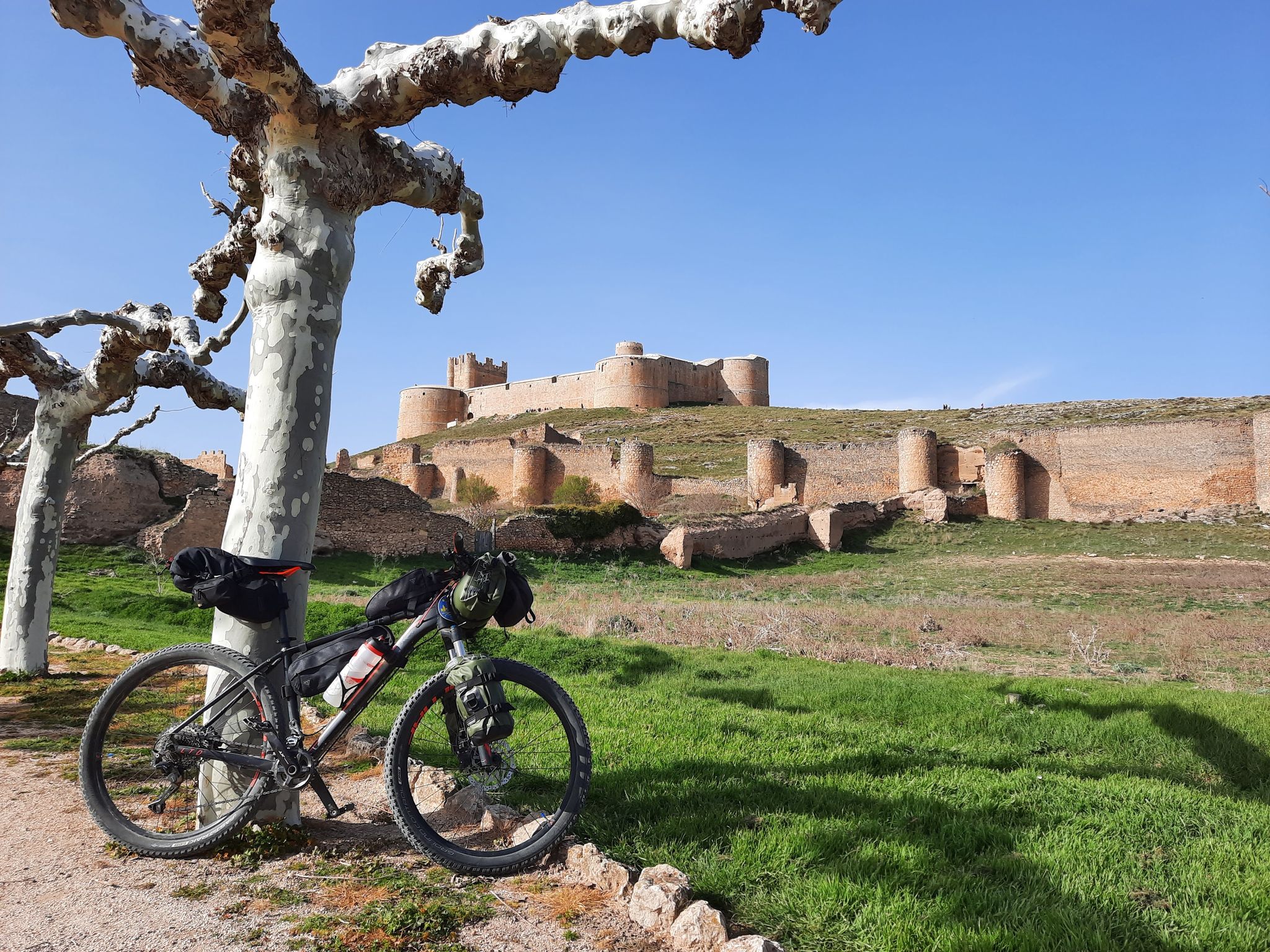
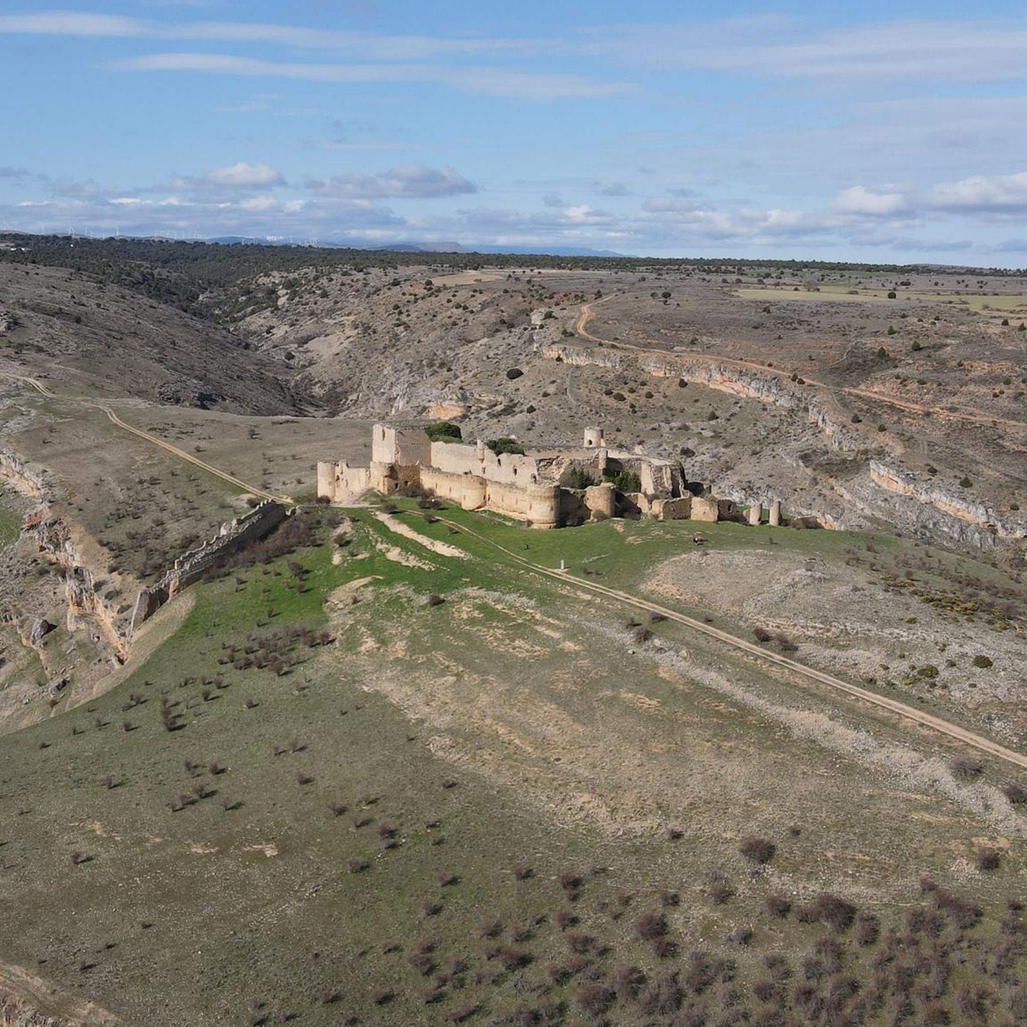
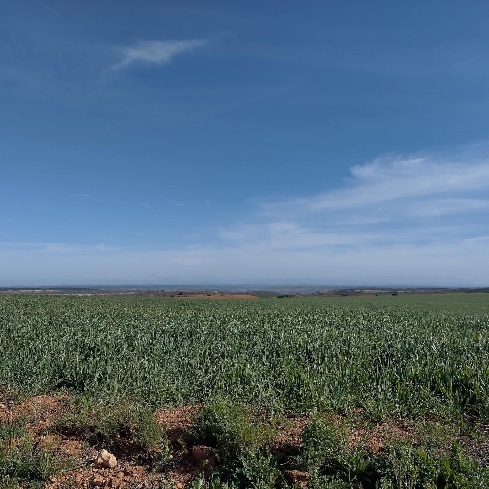

Other adventures around Retortillo De Soria

Tips from the Community

This village is also built from natural black/grey slate, which is responsible for the beautiful appearance of the village and the walls around the fields.
6
1
The source of the Aguisejo River is located in the Ayllón Mountains and rises from the confluence of several small rivers that originate on the peaks of this mountain range, which serves as a natural border between the provinces of Guadalajara, Segovia and Madrid.
0
0
Once you have reached this peak point you can take a breather.
15
1

The Lumías Waterfall, although not formally marked as a waterfall in tourist guides, is located in the natural setting of the Talegones River, in the small town of Lumías. The Talegones River runs through the town, dividing it in two, and offers crystal-clear waters, lush vegetation, abandoned orchards, and fruit trees such as cacti and elderberries.
3
0
The Talegones River Canyon Bridge, although not a monumental structure like a traditional Roman or medieval bridge, is part of the nature and hiking trail that crosses this spectacular spot in the municipality of Berlanga de Duero, province of Soria.
4
0

Currently called Condémios de Arriba, it is a beautiful town in the Sierra de Guadalajara. Its people are very welcoming. A special place for summer.
1
0
It is very close to Condemios de Arriba, which is a beautiful and touristy town in Guadalajara. They are a set of sculptures made from pine trunks.
1
0

Grado del Pico is a small town located between Sierra de Ayllón and Sierra de Pela. The name of the nucleus comes from Pico de Grado, a nearby hill on the border between provinces.
1
0
Frequently Asked Questions
How many hiking trails are available in Retortillo De Soria?
There are 5 hiking trails documented on komoot for the Retortillo De Soria area. These routes offer a mix of easy and moderate options, allowing you to explore the region's diverse landscapes.
What kind of terrain can I expect on hikes around Retortillo De Soria?
The terrain around Retortillo De Soria is characterized by a rugged and picturesque environment, featuring high-altitude forests, rolling hills, and open plains. You'll also find routes along river valleys, such as the Talegones River, offering varied scenery and elevation changes.
Are there easy hiking options suitable for beginners or families?
Yes, Retortillo De Soria offers several easy hiking options. For instance, the Nacimiento Río Aguisejo — circular por Grado del Pico is an easy 4.3 km path exploring the source of the Aguisejo River. Another gentle option is the Hiking loop from Condemios de Arriba, which is just 2.3 km long.
What natural features can I discover while hiking in Retortillo De Soria?
Hikers can explore a variety of natural features. The Talegones River Canyon Trail offers scenic river views. You can also visit the Source of the Aguisejo River, or marvel at the Natural Stone Arch in the Caracena Canyon and the Caracena River Canyon itself. The area also features unique natural monuments like the Carrasca de Valderromán.
Are there any historical landmarks or points of interest to see?
Absolutely. Retortillo De Soria is rich in history. You can explore the remnants of its medieval past, including ancient walled enclosure gates like the 14th-century Arco de Sollera. The Gothic church of San Pedro and the Romanesque hermitage of San Miguel are also notable. Further afield, you might visit Caracena Castle or the historical site of Retortillo de Soria itself.
Are there any circular hiking routes in the area?
Yes, several routes are circular. The Nacimiento Río Aguisejo — circular por Grado del Pico is an easy loop. For a moderate option, consider the Laguna de Somolinos – El Portillo loop from Somolinos, or the Condemios de Arriba loop from Condemios de Arriba.
What is the best time of year to go hiking in Retortillo De Soria?
Given its high elevation of approximately 1,241 meters (4,072 feet), the spring and autumn months generally offer the most pleasant hiking conditions with milder temperatures and vibrant scenery. Summer can be warm, while winter may bring colder temperatures and potential snow, especially at higher altitudes.
What do other hikers enjoy most about hiking in Retortillo De Soria?
The area is appreciated by the komoot community for its diverse terrain and scenic beauty. Hikers often praise the opportunity to explore both natural features like river canyons and historical sites, providing a rich and varied outdoor experience.
Are there any specific trails that follow historical routes?
While not specific trails listed in the guide, Retortillo de Soria is notably traversed by two significant historical routes: the Camino de la Lana and the Camino del Cid. These ancient paths offer a unique way to combine hiking with cultural exploration, connecting you to the region's rich past.
Is Retortillo De Soria suitable for more experienced hikers looking for moderate challenges?
Yes, there are moderate trails available for those seeking a bit more challenge. Routes like the Talegones River Canyon Trail (13.7 km) and the Condemios de Arriba loop from Condemios de Arriba (11.3 km) offer longer distances and more significant elevation changes, providing a rewarding experience for moderate-level hikers.
What is the typical duration for a hike in this region?
Hike durations vary depending on the route and your pace. Easy trails like the Hiking loop from Condemios de Arriba can be completed in under an hour. Moderate routes, such as the Talegones River Canyon Trail or the Laguna de Somolinos – El Portillo loop from Somolinos, typically take around 3 to 3.5 hours to complete.
Most popular routes around Retortillo De Soria
Most popular attractions around Retortillo De Soria

Get inspired with the komoot mobile app


Explore more
Browse the best Hikes in other regions.
