The best MTB trails around La Hoya
4.5
(68)
1,084
riders
89
rides
Mountain biking around La Hoya is characterized by routes through the Sierra de Candelario, offering varied terrain with significant elevation changes. The region features a mix of forested areas, open landscapes, and mountain paths. Trails often include challenging climbs and descents, providing a diverse experience for mountain bikers. The natural environment around La Hoya supports a range of outdoor activities, with a focus on routes that explore the local mountain ranges and natural parks.
Best mountain bike trails around La…
Last updated: October 11, 2026
28
riders
29.0km
02:55
1,000m
1,000m
This difficult 18-mile mountain bike route in the Espacio Natural de la Sierra de Candelario offers 3278 feet of climbing and great views.
16
riders
23.0km
02:23
780m
780m
This moderate 14.3-mile mountain biking trail in Sierra de Candelario features a waterfall, pine forests, and views of Candelario.

5.0
(1)
5
riders
17.8km
02:04
730m
740m
This moderate 11.1-mile mountain biking loop to Peña Negra in Sierra de Béjar offers challenging climbs and panoramic views.
3.5
(2)
33
riders
52.5km
04:39
1,090m
1,090m
Hard mountain bike ride. Very good fitness required. Advanced riding skills necessary.
5.0
(1)
18
riders
15.3km
01:15
320m
320m
Moderate mountain bike ride. Good fitness required. Advanced riding skills necessary.
Get access to more routes and recommendations from other explorers.
Already have an account?
Our route recommendations are based on thousands of hikes, rides, and runs completed by other people on komoot.
Start today with a free account
Your next adventure awaits.
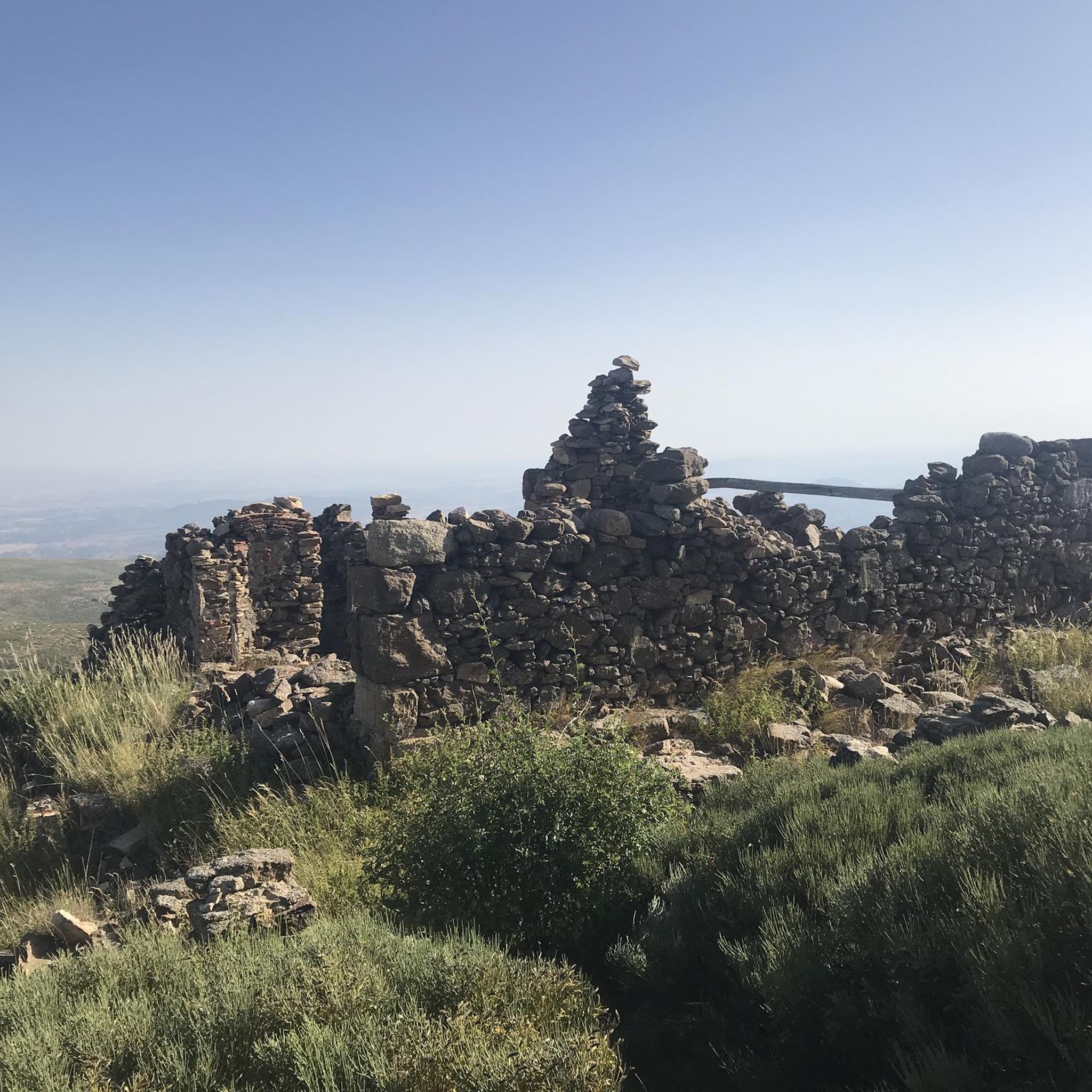
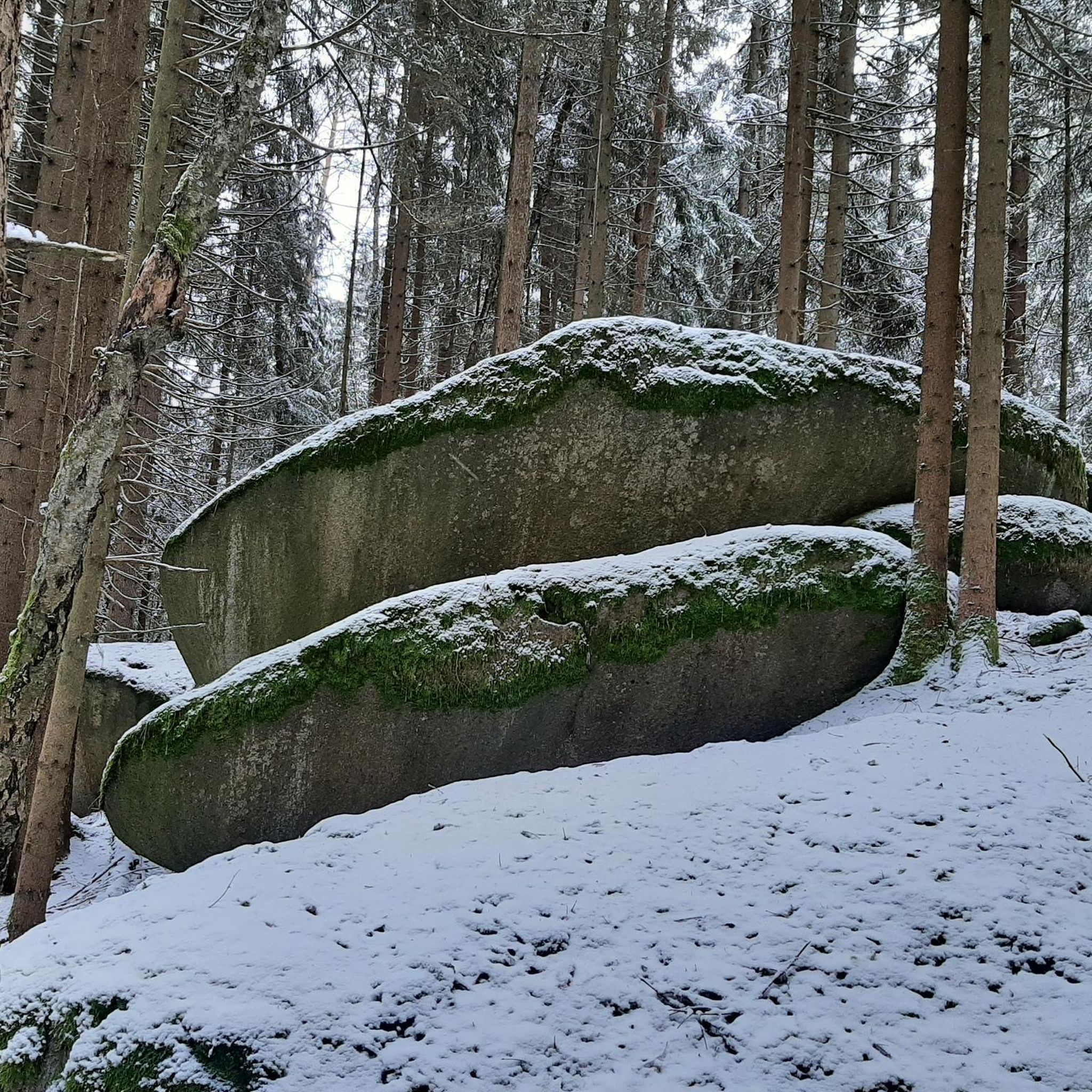
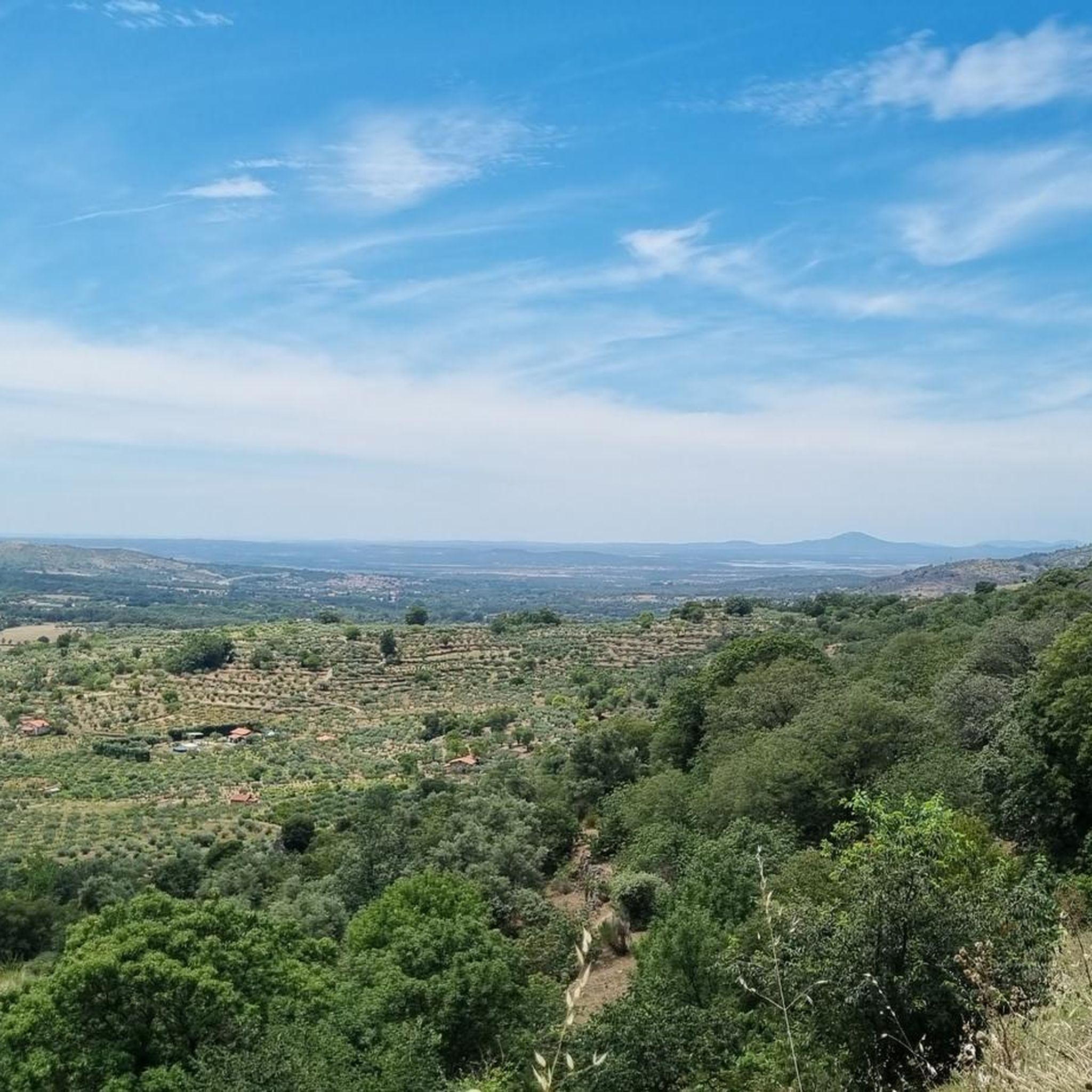
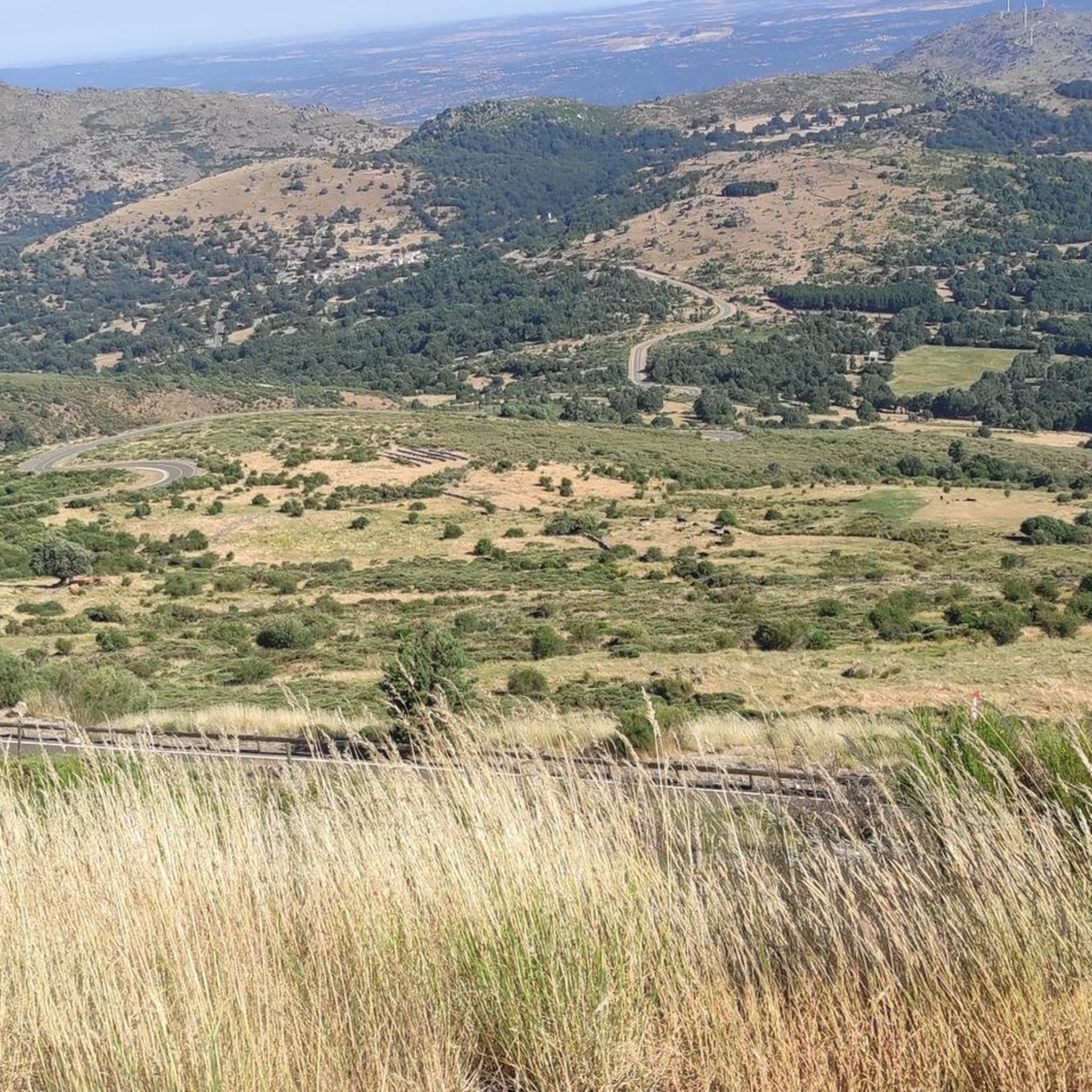
Tips from the Community

The old Béjar railway station has been magnificently renovated and transformed into a multi-purpose center called "Estación Béjar Verde". Located along the route of the Camino Natural Vía de la Plata, it houses a bar-restaurant with a terrace, a 40-bed hostel, and offers bicycle and hiking rental services.
0
0

It is an old railway tunnel converted into a section of the Silver Greenway, which takes advantage of the old railway line between Béjar and Baños de Montemayor.
3
0

From the picnic area, leftovers and water
0
1

Thursday to Sunday - 10:00 a.m. to 2:00 p.m.
1
0
This tunnel crosses Béjar from its station and at the exit is the Textile Museum
1
0
The bullring of the city of Béjar, in the province of Salamanca (Spain), better known as La Ancianita, is the oldest bullring preserved in Spain, inaugurated in 1711.2 Located on the Castañar mountain next to the Sanctuary of the Virgen del Castañar, two kilometers from Béjar.3
0
0

Section of road that is located at 1080 meters and where it is possible to make a stop and refill the water bottle. If necessary, rest a bit...
0
0

Peña Negra is one of those peaks that more than rewards the effort to reach its top. The views from here at 1634 masl are truly amazing and you will have 360 degree panoramic views of the entire Sierra de Candelario Natural Area including the Navamuño Reservoir.
1
0
Frequently Asked Questions
How many mountain bike trails are available around La Hoya?
There are over 70 mountain bike routes available around La Hoya, catering to various skill levels from easy to difficult.
What kind of terrain can I expect on mountain bike trails around La Hoya?
Mountain biking around La Hoya features varied terrain through the Sierra de Candelario. You'll encounter significant elevation changes, a mix of forested areas, open landscapes, and mountain paths, often with challenging climbs and descents.
Are there mountain bike trails suitable for beginners in La Hoya?
Yes, the network around La Hoya includes options for all ability levels. While many routes are moderate to difficult, there is at least one easy route available for those new to mountain biking or looking for a more relaxed ride.
What are some challenging mountain bike trails for advanced riders in La Hoya?
Advanced riders will find plenty of challenging options, with over 40 difficult routes. A notable difficult trail is Dehesa de Candelario – circular desde Béjar (M05), which spans 18.0 miles with nearly 3,280 feet of elevation gain. Another demanding option is the Trail through Prado Campillo – Béjar Tunnel loop from Candelario, covering over 32 miles with more than 3,600 feet of ascent.
Are there any circular mountain bike routes in La Hoya?
Yes, many routes around La Hoya are circular. For example, the popular Dehesa de Candelario – circular desde Béjar (M05) and Peña Negra – variante circular desde Béjar (M12) are both circular trails that allow you to start and end in the same location.
What is the average duration for mountain bike trails in La Hoya?
The duration varies significantly by trail and difficulty. For instance, a moderate route like Espacio Natural de la Sierra de Candelario – variante a la Garganta del Oso (M04) takes about 2 hours 23 minutes, while a difficult one like Dehesa de Candelario – circular desde Béjar (M05) typically takes around 2 hours 55 minutes.
What do other mountain bikers enjoy most about mountain biking in La Hoya?
The mountain bike trails around La Hoya are highly rated by the komoot community, with an average score of 4.4 stars from over 40 reviews. Riders often praise the diverse terrain, the challenging climbs and descents, and the beautiful natural environment of the Sierra de Candelario.
Are there any notable natural attractions or landmarks to see along the mountain bike trails?
Yes, the region around La Hoya is rich in natural beauty. You can find several mountain peaks and passes nearby, such as Torreón (Calvitero Summit), Canchal de la Ceja, and Peña Negra Summit. You might also encounter significant mountain passes like Hell's Pass and Puerto del Tremedal, offering stunning views.
What is the best season for mountain biking in La Hoya?
While specific seasonal recommendations are not provided, the region's characteristics of mountain passes and high-altitude terrain suggest that spring, summer, and early autumn would generally offer the most favorable weather conditions for mountain biking. Winter might present challenges due to snow and colder temperatures in the Sierra de Candelario.
Are there any family-friendly mountain bike trails in La Hoya?
While the guide highlights many moderate to difficult routes, the presence of at least one easy route indicates there are options suitable for families or those seeking a less strenuous ride. It's always recommended to check the specific trail details for elevation and distance to ensure it matches your family's capabilities.
Is parking available at the trailheads around La Hoya?
While specific parking information for each trailhead is not detailed, routes often start from towns like Béjar or Candelario, where public parking facilities are typically available. It's advisable to check local parking options in these starting points before your ride.
Most popular attractions around La Hoya

Get inspired with the komoot mobile app


Explore more
Browse the best MTB trails in other regions.
