The best road cycling routes around San Bartolomé De Pinares
3.3
(19)
1,830
riders
55
rides
Road cycling around San Bartolomé De Pinares offers diverse terrain, from plains and rolling hills to demanding mountain passes. The region is characterized by its proximity to the Sierra de Villafranca and views of the Sierra de Gredos, providing varied backdrops for rides. Cyclists can encounter natural features such as the Alberche River with its historic bridges and the tranquil El Burguillo Reservoir. This varied geography caters to a range of skill levels, from gentle circuits to strenuous ascents.
Best…
Last updated: July 15, 2026
47
riders
83.6km
04:30
1,700m
1,700m
Hard road ride. Very good fitness required. Mostly well-paved surfaces and easy to ride.
5.0
(2)
50
riders
57.1km
03:00
980m
980m
Hard road ride. Very good fitness required. Mostly well-paved surfaces and easy to ride.

Sign up for free
36
riders
72.0km
03:39
1,210m
1,210m
Hard road ride. Very good fitness required. Mostly well-paved surfaces and easy to ride.
28
riders
54.8km
02:49
980m
980m
Hard road ride. Very good fitness required. Mostly well-paved surfaces and easy to ride.
45
riders
71.1km
03:25
980m
980m
Hard road ride. Very good fitness required. Mostly well-paved surfaces and easy to ride.
Get access to more routes and recommendations from other explorers.
Sign up for free
Already have an account?
Our route recommendations are based on thousands of hikes, rides, and runs completed by other people on komoot.
Start today with a free account
Your next adventure awaits.
Login or Signup
Tips from the Community

The Church of San Miguel Arcángel in Tornadizos de Ávila is a church of great historical and cultural significance. Built of ashlar and masonry, it is liturgical in nature. The Brotherhood of the Holy True Cross, an institution of great importance in local religious life, was founded in this parish more than four centuries ago.
1
0
The Chapel of Mosén Rubí, located in Ávila, is a beautiful example of architecture that combines late Gothic and Renaissance styles. It was built in the 16th century and is dedicated to Mosén Rubí de Bracamonte, lord of Fuentesol.
3
0
The Walls of Ávila are an impressive medieval fortification that surrounds the old town of Ávila, in Castile and León. These walls, built in the 11th century, are one of the best-preserved walled enclosures in Spain and were declared a UNESCO World Heritage Site in 1985.
11
0
This bridge was built to facilitate crossing the Adaja River and connect the Roman city of Ávila with the opposite bank. Although only the hidden abutments on the edges of the original Roman bridge remain, the bridge visible today dates back to the 12th century.
13
0

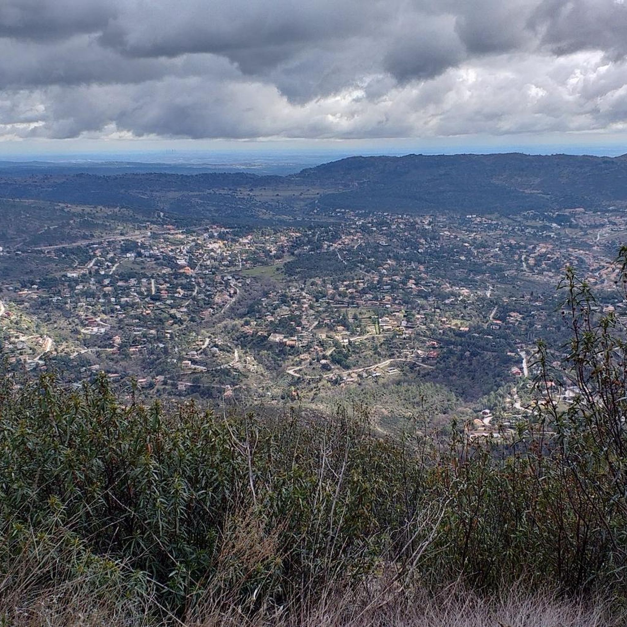
The truth is that it is a wonderful viewpoint of Ávila.
1
0
One of the most visited areas of the walls.
4
0
Of significant dimensions, for a simple chapel.
3
0

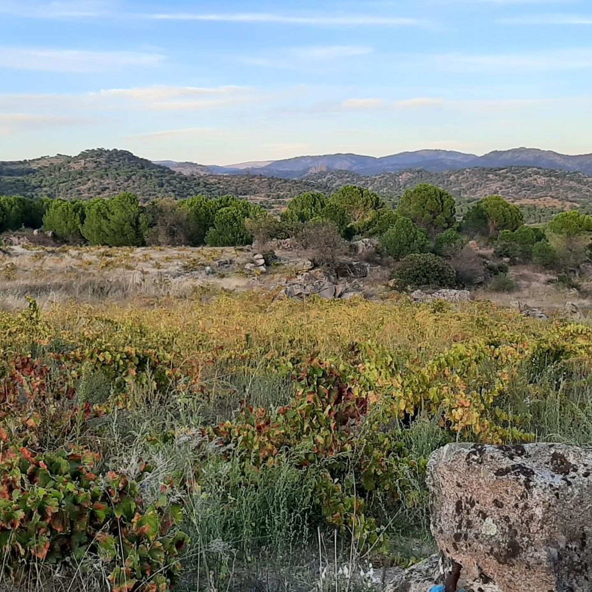
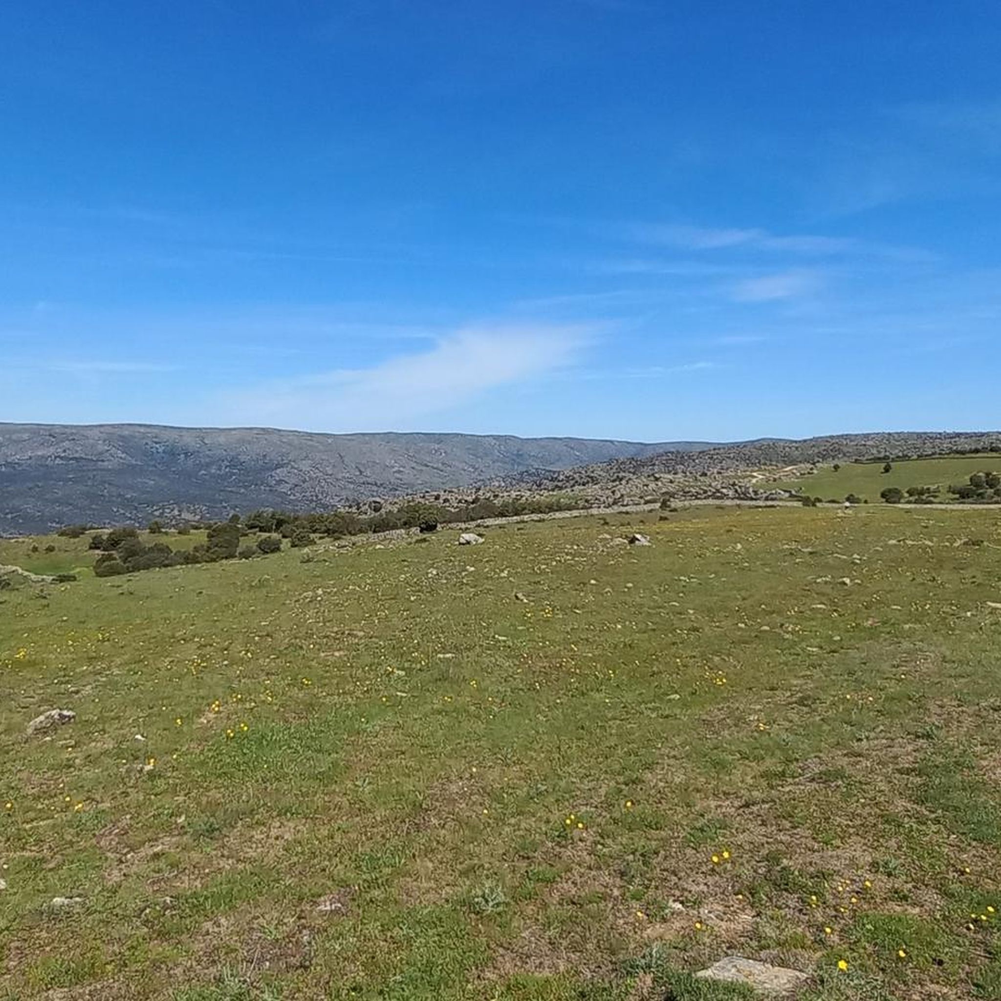
Stage 2. Ávila/Madrid 140 km. 2,500 m positive. On the way back to Madrid we followed the route of the Camino de Santiago de Levante to the Alberche River with some variations to maintain cyclability and an acceptable average. The yellow arrows on the Jacobean route point towards Santiago de Compostela and at some intersections it is not easy to see them in the opposite direction. The track is essential to follow these “author” routes. The route leaves Ávila along the plain of the Chico River to Tornadizos de Ávila and continues along the cattle trails from the sources of the Tornadizos River to some spectacular pastoral meadows in the hills of El Cabezuelo. The final stretch of the climb follows a path that has good cyclability with good grinding technique and expertise on mountain trails. The path passes a gate with yellow arrows and goes down to the port of Boquerón, between the Cuerda de los Polvisos and the Malagón mountain range, one of the entrances to the great Herradón de Pinares grave. The descent along the Camino de Santiago is an uncomfortable and complicated trial with the bags due to the pavement and the vegetation and to maintain the pace we go down the road gliding over a deceptive landscape, we pass through El Herradón and continue to San Bartolomé de Pinares. The climb through the cobblestone streets of the town is tough and the exit through the forks of the Camino de Levante ends with an infernal wall, until the slope ends on a hill adorned with a milestone of the Jacobean route that has indications of the distances to different places. in the world, from Ávila and Madrid to Beijing or New Zealand.
0
0
Frequently Asked Questions
How many road cycling routes are available in San Bartolomé De Pinares?
There are over 50 road cycling routes around San Bartolomé De Pinares, offering a wide variety of options for different skill levels and preferences. These routes are highly rated by the komoot community, with an average score of 3.2 stars.
What is the general difficulty level of road cycling routes in this region?
The region offers a diverse range of routes. While many are challenging, with 40 routes classified as difficult, there are also 16 moderate routes. You can expect everything from rolling hills to demanding mountain passes, catering to both seasoned riders and those looking for a good workout.
Are there any long-distance road cycling routes in the area?
Yes, several routes offer significant distances. For example, the Cerro Magrao Road – Puerto de Arrebatacapas loop from San Bartolomé de Pinares covers over 82 kilometers, featuring challenging climbs and rewarding views.
What kind of terrain can I expect on road cycling routes around San Bartolomé De Pinares?
You'll encounter a varied landscape, from plains and rolling hills to demanding mountain passes. The routes often provide views of the Sierra de Villafranca and the distant Sierra de Gredos. Many follow well-maintained asphalt roads, ensuring a smooth cycling experience.
What natural features or viewpoints can I see while road cycling here?
The area is rich in natural beauty. You might encounter historic bridges over the Alberche River, such as Valsordo and Santa Yusta, or enjoy exceptional views around the El Burguillo Reservoir. Some routes also lead through serene valleys like the Valle de Collao, where wild horses and cattle can sometimes be observed, and offer access to 'starlight viewpoints' for breathtaking night sky observations.
Are there any challenging climbs for experienced road cyclists?
Absolutely. The region is known for its demanding ascents. The Cerro Magrao Road – Puerto de Arrebatacapas loop from San Bartolomé de Pinares includes the challenging Puerto de Arrebatacapas. Other notable climbs in the wider region include the Ascent to Puerto del Pico and Puerto de la Lancha, offering significant physical tests and panoramic rewards.
Are there any loop road cycling routes available?
Yes, many routes are designed as loops. A popular option is the Path through the pine forests – La Escondida loop from El Hoyo de Pinares, which takes you through scenic pine forests. Another is the Ávila City Walls – Mosén Rubí Chapel loop from San Bartolomé de Pinares, combining historic landmarks with countryside views.
What historical or cultural landmarks can I explore along the routes?
Beyond natural beauty, you can discover cultural points of interest. The Ávila City Walls – Mosén Rubí Chapel loop from San Bartolomé de Pinares offers a blend of historic landmarks. The nearby mountain town of Cebreros, known for its winemaking, is also an interesting stop. Additionally, the Hermitage of Santisimo Cristo de Gracia, dating back to the late 15th century, is in the vicinity.
What do other road cyclists enjoy the most about road cycling in San Bartolomé De Pinares?
The area is highly rated by the komoot community, with an average score of 3.2 stars from over 10 reviews. Reviewers often praise the diverse terrain, from challenging mountain passes to scenic routes with unparalleled panoramic views, and the well-maintained asphalt roads.
Is there a good time of year to go road cycling in San Bartolomé De Pinares?
The climate in San Bartolomé De Pinares often permits year-round cycling activity. However, spring and autumn generally offer the most pleasant temperatures for longer rides, avoiding the peak heat of summer or the colder days of winter.
Are there any routes that pass by lakes or reservoirs?
Yes, the region features several beautiful bodies of water. The El Burguillo Reservoir is a prominent feature, offering exceptional views and a tranquil natural setting, and is often incorporated into local routes. You can also find other reservoirs like Navalperal de Pinares Reservoir nearby.
Can I find routes that offer a mix of nature and small towns?
Certainly. Many routes weave through the natural landscapes while connecting to charming local towns. For instance, the Cerro Magrao Road – Entrance to El Herradón loop from Herradón-La Cañada offers a journey through varied scenery, often passing through or near smaller villages where you can experience the rural charm of the area.
Most popular routes around San Bartolomé De Pinares
Most popular attractions around San Bartolomé De Pinares

Get inspired with the komoot mobile app


Explore more
Browse the best Road cycling routes in other regions.
