The best MTB trails around San Bartolomé De Pinares
4.5
(93)
1,298
riders
135
rides
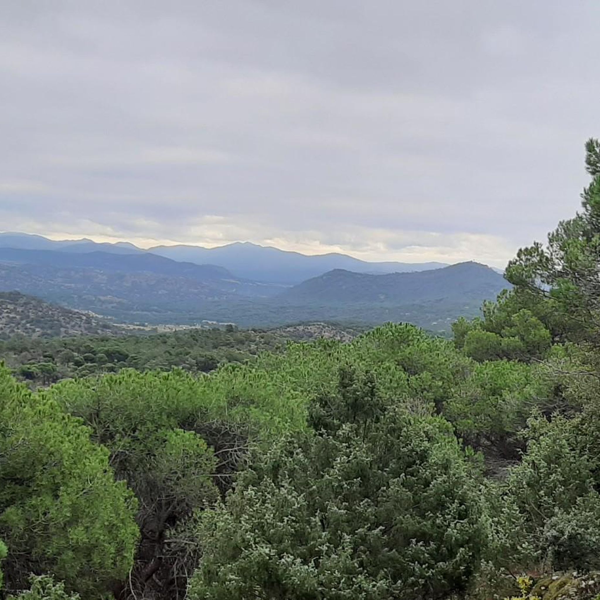
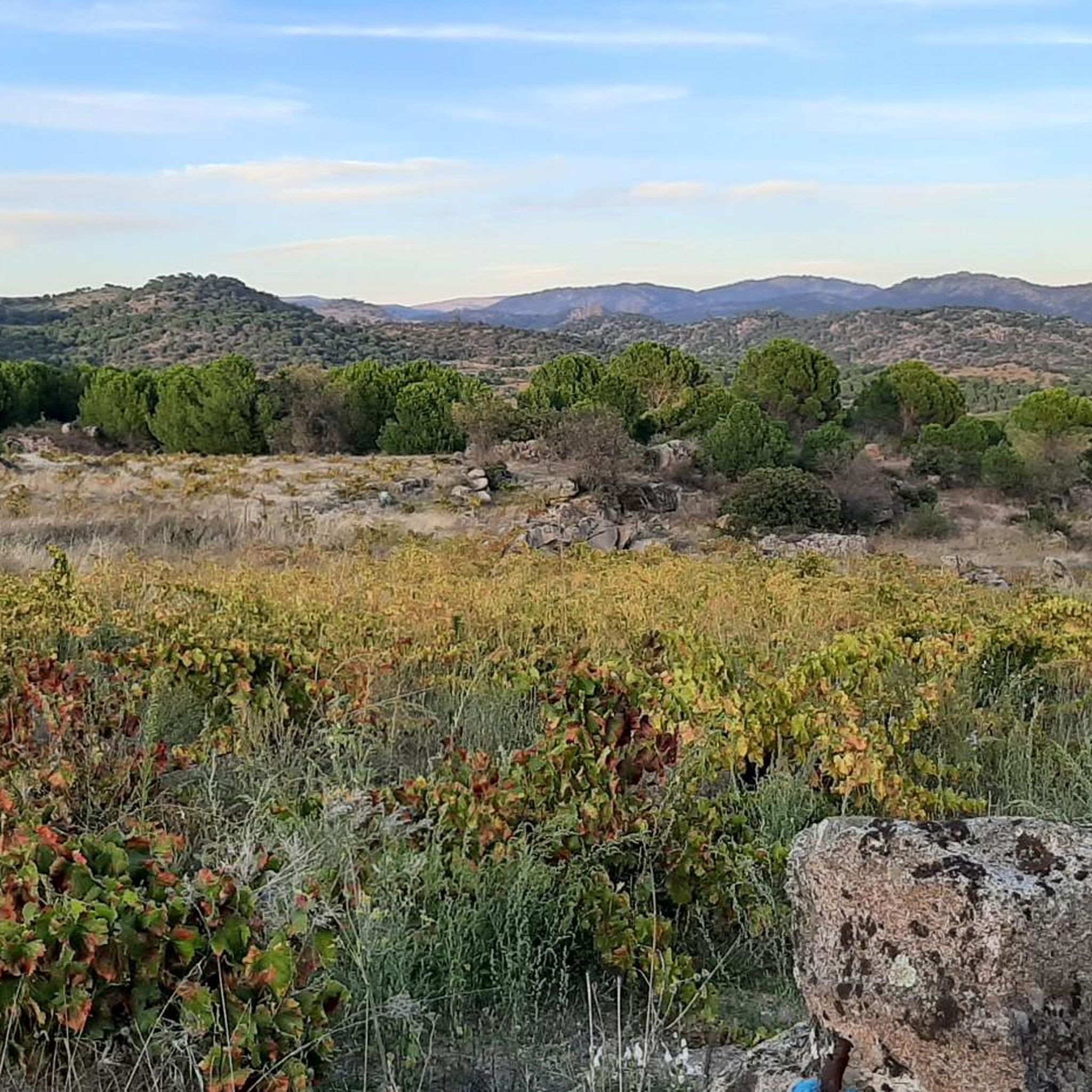
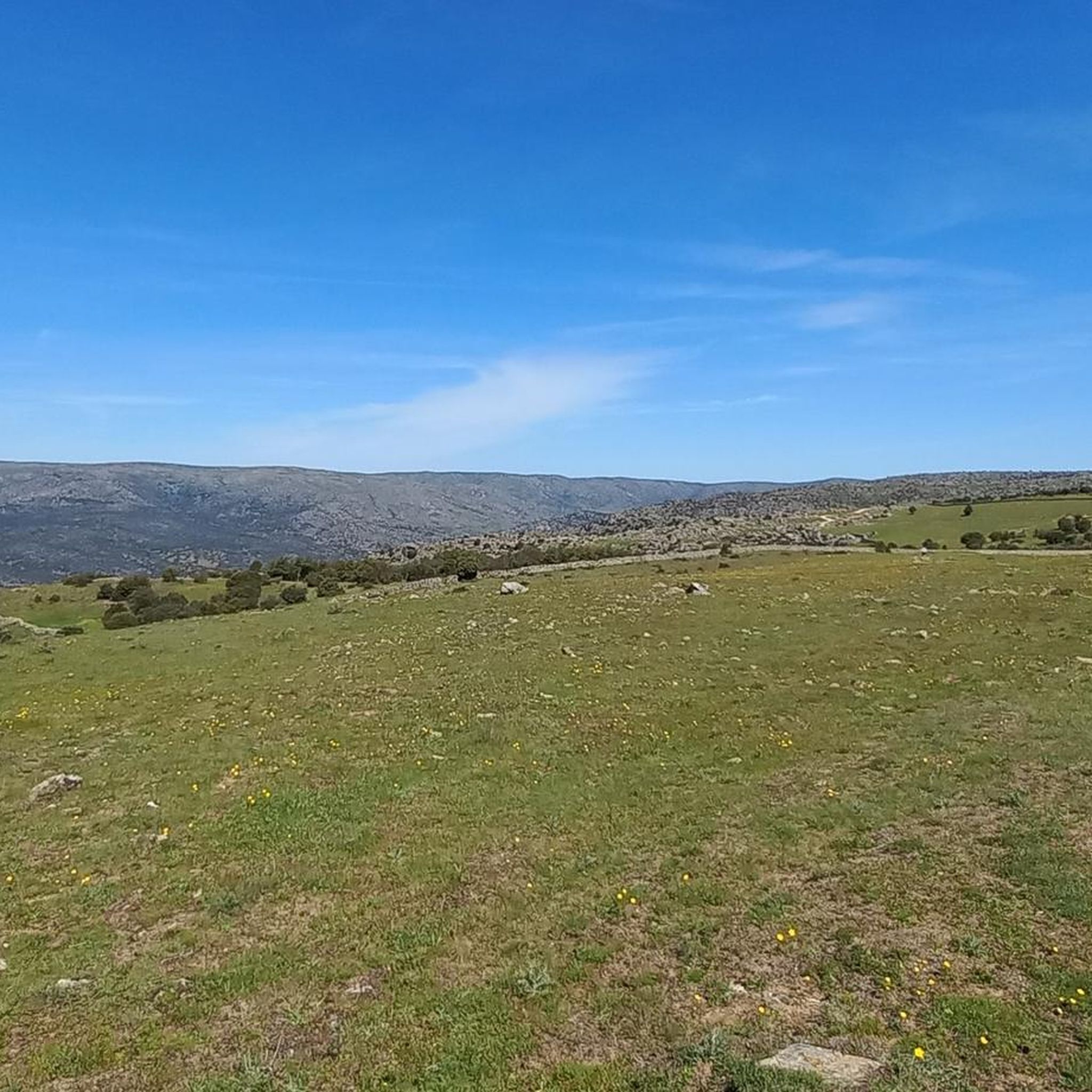
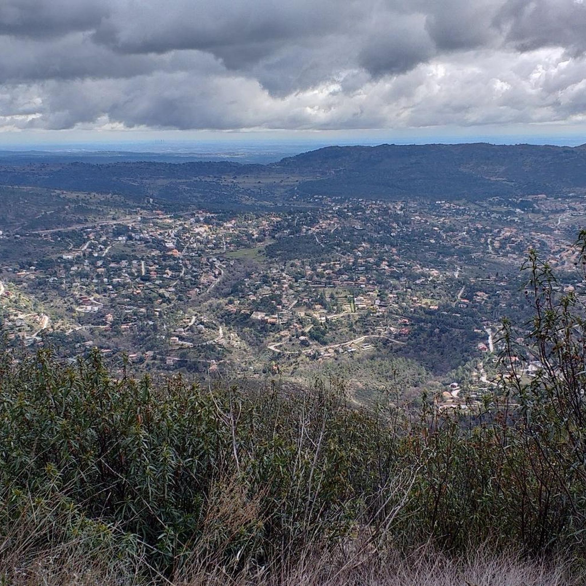
Mountain biking around San Bartolomé De Pinares offers diverse terrain within the province of Ávila, Spain. The region is characterized by extensive pine forests, providing shaded trails and scenic beauty. Its proximity to the Sierra de Gredos mountain range contributes to varied topography with continuous ascents and descents. Valleys carved by streams like the Gaznata and aquatic elements such as the Embalse del Burguillo further define the landscape.
Best mountain bike trails in San Bartolomé De Pinares
- The most popular…
Last updated: July 1, 2026
7
riders
30.8km
03:08
750m
750m
Moderate mountain bike ride. Good fitness required. Advanced riding skills necessary.
8
riders
39.3km
04:02
950m
940m
Hard mountain bike ride. Very good fitness required. Advanced riding skills necessary. Some portions of the route may require you to push your bike.

Sign up for free
8
riders
42.5km
04:00
930m
930m
Hard mountain bike ride. Very good fitness required. Advanced riding skills necessary. Some portions of the route may require you to push your bike.
6
riders
Hard mountain bike ride. Good fitness required. Advanced riding skills necessary. Some portions of the route may require you to push your bike.
6
riders
Hard mountain bike ride. Good fitness required. Advanced riding skills necessary. Some portions of the route may require you to push your bike.
Get access to more routes and recommendations from other explorers.
Sign up for free
Already have an account?
Our route recommendations are based on thousands of hikes, rides, and runs completed by other people on komoot.
Start today with a free account
Your next adventure awaits.
Login or Signup
Tips from the Community

A reconstructed Roman bridge in the mountains near Valdemaqueda. It's easily accessible by car, and there are parking lots with a picnic area very close to the bridge. It's a lovely spot. There's hardly anyone there at this time of year.
0
0

The Casasola Route in Navalperal de Pinares is one of the longest and most popular hiking trails in the area. With a length of approximately 23 kilometers and a cumulative ascent of 346 meters, this route offers a complete experience for hiking enthusiasts. The route begins at the Hermitage of San Antonio and passes through diverse landscapes, including oak forests, reforested pine forests, and mountain meadows.
1
0

Stage 2. Ávila/Madrid 140 km. 2,500 m positive. On the way back to Madrid we followed the route of the Camino de Santiago de Levante to the Alberche River with some variations to maintain cyclability and an acceptable average. The yellow arrows on the Jacobean route point towards Santiago de Compostela and at some intersections it is not easy to see them in the opposite direction. The track is essential to follow these “author” routes. The route leaves Ávila along the plain of the Chico River to Tornadizos de Ávila and continues along the cattle trails from the sources of the Tornadizos River to some spectacular pastoral meadows in the hills of El Cabezuelo. The final stretch of the climb follows a path that has good cyclability with good grinding technique and expertise on mountain trails. The path passes a gate with yellow arrows and goes down to the port of Boquerón, between the Cuerda de los Polvisos and the Malagón mountain range, one of the entrances to the great Herradón de Pinares grave. The descent along the Camino de Santiago is an uncomfortable and complicated trial with the bags due to the pavement and the vegetation and to maintain the pace we go down the road gliding over a deceptive landscape, we pass through El Herradón and continue to San Bartolomé de Pinares. The climb through the cobblestone streets of the town is tough and the exit through the forks of the Camino de Levante ends with an infernal wall, until the slope ends on a hill adorned with a milestone of the Jacobean route that has indications of the distances to different places. in the world, from Ávila and Madrid to Beijing or New Zealand.
0
0

BEWARE OF VIBORS. CROSS THE ROADS
0
0

Very steep firebreak that goes down to Arroyo de las Chorreras in Valdemaqueda
0
0
Beautiful lake in the Ciudad Ducal urbanization, near Navas del Marqués, one of the first urbanizations in Spain.
0
0
Very steep and broken firebreak that goes down to the Valladal stream. Then the climb from the stream is by path.
0
0
Quite dangerous descent, very steep and completely full of loose stones, from the wind turbine rope along the so-called Llanada de Juan Rodríguez until reaching a paved track.
0
0
Frequently Asked Questions
How many mountain bike trails are available in San Bartolomé De Pinares?
There are over 140 mountain bike trails around San Bartolomé De Pinares, offering a wide range of options for different skill levels. You'll find everything from moderate rides to challenging routes with significant elevation changes.
What kind of terrain can I expect on mountain bike trails in San Bartolomé De Pinares?
The terrain around San Bartolomé De Pinares is diverse, characterized by extensive pine forests that provide shaded trails and scenic beauty. You'll encounter varied topography with continuous ascents and descents, influenced by its proximity to the Sierra de Gredos mountain range. Valleys carved by streams like the Gaznata also contribute to the varied landscape.
Are there any easy mountain bike trails suitable for beginners in San Bartolomé De Pinares?
Yes, there are a few easier options. While many routes are moderate to difficult, komoot lists 5 easy trails. These are generally shorter and have less demanding elevation profiles, making them suitable for those new to mountain biking or looking for a more relaxed ride.
What are some notable natural features or landmarks I might see on the trails?
The trails often pass through extensive pine forests and offer views of the Sierra de Gredos. You can also find significant aquatic elements like the El Burguillo Reservoir and the Navalperal de Pinares Reservoir. Some routes feature viewpoints such as Mirador del Canchal and Risco de los Dineros Viewpoint, offering panoramic views of the surroundings.
Are there any circular mountain bike routes in the area?
Yes, many of the mountain bike routes around San Bartolomé De Pinares are designed as loops. For example, the popular Cerro Boquerón – View of Puente Mocha loop from Valdemaqueda is a 19.1-mile circular trail, and the challenging Mirador del Canchal – Eiffel Watchtower loop from Valdemaqueda also forms a loop.
What is the best time of year to go mountain biking in San Bartolomé De Pinares?
The region is generally suitable for mountain biking for much of the year. Spring and autumn offer pleasant temperatures and vibrant scenery. Summer can be warm, but the extensive pine forests provide welcome shade on many trails. Winters are cooler, and while some trails remain accessible, conditions can vary.
Are there any family-friendly mountain bike trails?
While many trails feature continuous ascents and descents, there are 5 easy routes that could be more suitable for families. These trails typically have less demanding elevation changes and shorter distances, making them a good starting point for family outings. Always check the specific route details on komoot for suitability.
What do other mountain bikers enjoy most about the trails in San Bartolomé De Pinares?
The mountain bike trails in San Bartolomé De Pinares are highly rated by the komoot community, with an average score of 4.5 stars from over 80 reviews. Reviewers often praise the diverse terrain, the beauty of the pine forests, and the challenging ascents and descents that make for an engaging ride.
Are there any specific challenging routes for experienced mountain bikers?
Absolutely. The area offers 79 difficult mountain bike routes. A notable challenging option is the 11% ramp (20 meters) – El Herradón loop from Herradón-La Cañada, which is 26.4 miles long and features varied terrain with significant ascents. Another is the Steep and dangerous descent loop from Herradón-La Cañada, known for its technical sections.
Where can I find parking for mountain biking in San Bartolomé De Pinares?
Many mountain bike routes start from or near towns like Valdemaqueda or Herradón-La Cañada, where you can typically find local parking options. It's advisable to check the starting point of your chosen route on komoot for specific parking information, as details can vary.
Are dogs allowed on the mountain bike trails?
While specific regulations for dogs on mountain bike trails can vary, generally, dogs are welcome on many outdoor trails in Spain, especially in natural areas like the pine forests around San Bartolomé De Pinares. However, it's always best to keep them under control, especially around wildlife or other trail users, and to check for any local signage or specific route restrictions.
Most popular routes around San Bartolomé De Pinares
Most popular attractions around San Bartolomé De Pinares

Get inspired with the komoot mobile app


Explore more
Browse the best MTB trails in other regions.
