The best running trails around Ślężański Park Krajobrazowy
4.7
(31)
3,351
runners
79
runs
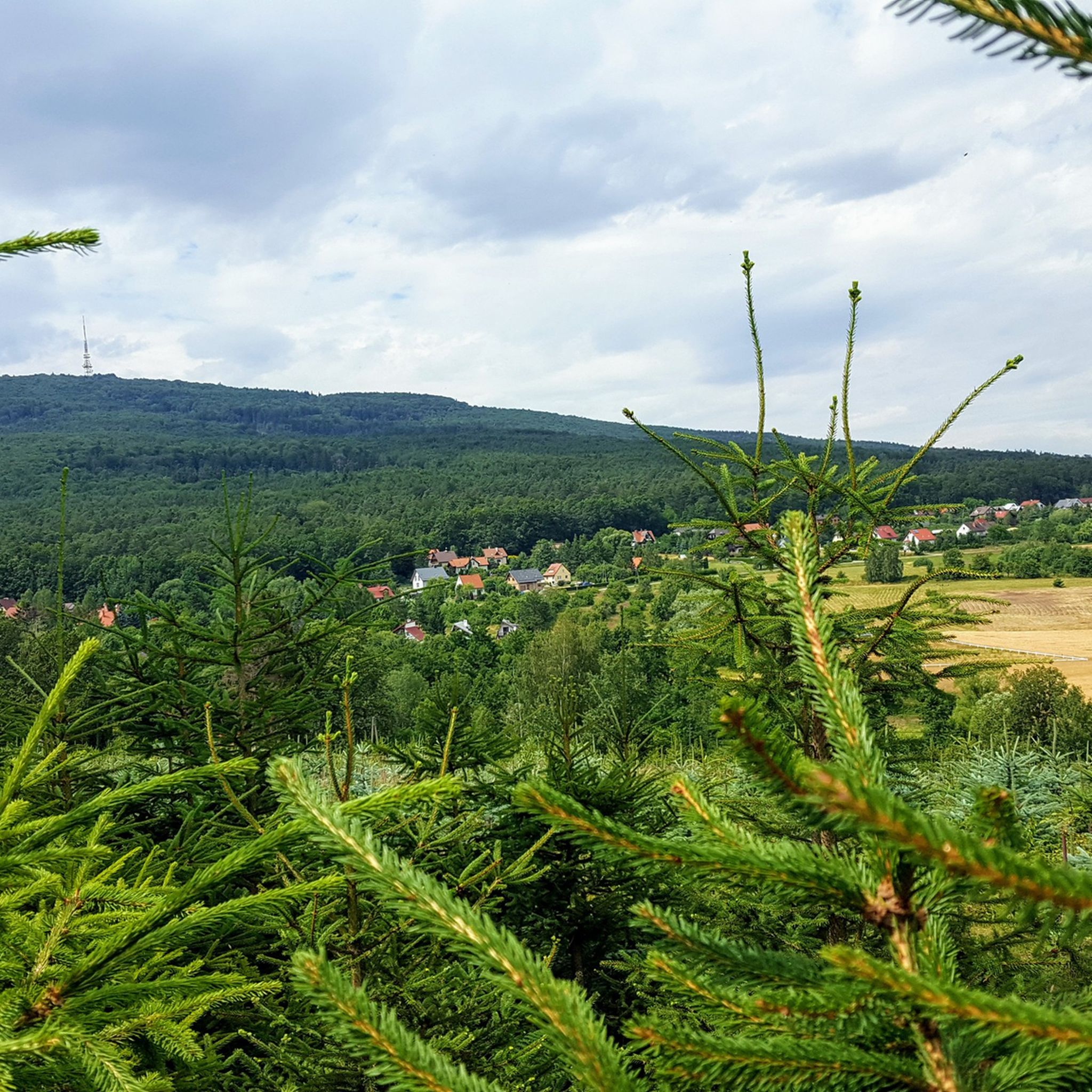
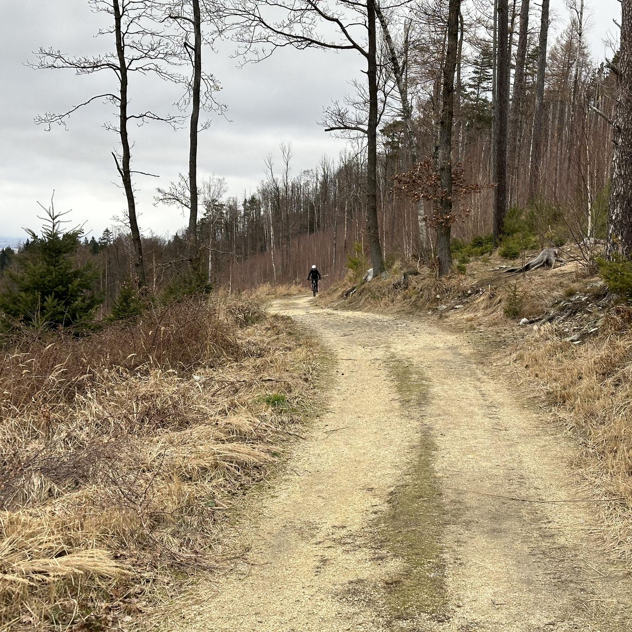
Jogging around Ślężański Park Krajobrazowy offers diverse landscapes, centered around Mount Ślęża, the highest peak of the Sudeten Foothills. The region features varied terrain, from gentle slopes to challenging ascents, providing a range of running experiences. Approximately 60% of the park is covered by mixed forests, offering shaded routes. The geological makeup includes gabbro, gneisses, and serpentinites, contributing to the unique character of the trails.
Best jogging routes around Ślężański Park Krajobrazowy
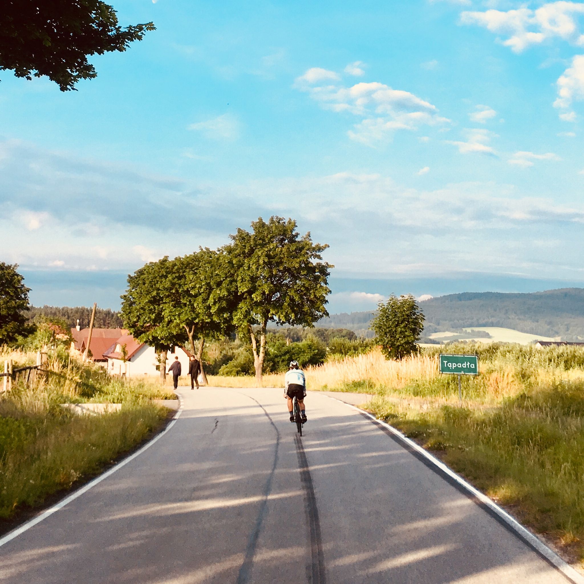
- The most popular jogging route is Tąpadła Pass…
Last updated: August 31, 2026
4.8
(4)
829
runners
Hard run. Very good fitness required. Mostly paved surfaces. Suitable for all skill levels.
5.0
(4)
534
runners
28.2km
03:57
1,140m
1,140m
Hard run. Very good fitness required. Mostly accessible paths. Some sure footedness required.

Sign up for free
5.0
(2)
228
runners
Hard run. Very good fitness required. Mostly accessible paths. Some sure footedness required.
4.3
(3)
160
runners
Hard run. Very good fitness required. Mostly paved surfaces. Suitable for all skill levels.
5.0
(2)
161
runners
Hard run. Very good fitness required. Mostly accessible paths. Some sure footedness required.
Get access to more routes and recommendations from other explorers.
Sign up for free
Already have an account?
Our route recommendations are based on thousands of hikes, rides, and runs completed by other people on komoot.
Start today with a free account
Your next adventure awaits.
Login or Signup
Popular around Ślężański Park Krajobrazowy

Tips from the Community

Follow the little trail at the bear statue for 100 m to a viewing tower
0
0

The yellow trail, for everyone :)
0
0

A historic tourist facility located at the summit of Mount Ślęża at 718 meters above sea level, named after Roman Zmorski and listed as a historical monument since 1988. The current stone building was constructed in 1907-1908 under the patronage of the Zobten Mountain Society, replacing earlier wooden structures that had served hikers since 1837. Originally featuring a richly decorated "Zobten Hermitage" hall where mountain society members gathered among hunting trophies, the building now operates as a tourist house providing only catering services due to water supply issues that prevent overnight accommodation!!!
1
0
built on the ruins of a medieval Piast castle whose fragments can still be seen in the church's underground crypt. Originally founded in the 12th century by Palatine Piotr Włostowic who brought Augustinian canons from Flanders, the current neo-Romanesque structure dates from 1852 after the previous chapel was destroyed by lightning in 1834.
1
0
The mountain has two archaeological trails marked with the symbol of the Ślęża bear, allowing visitors to discover the ancient stone sculptures while trekking. Despite its relatively modest elevation, Ślęża offers impressive views due to its prominent rise of over 500 meters above the surrounding lowlands.
1
0
Mount Ślęża is the highest peak of the Sudeten Foothills at 717.5 meters above sea level, located near the town of Sobótka in southwestern Poland. The mountain served as a pagan solar worship center from the Bronze Age until Christianization in the 10th-11th centuries, with ancient stone sculptures including "the maiden with fish," "the monk," and "the bear" still visible today. A 12th-century church now stands on the summit alongside a concrete observation tower, while the PTTK tourist shelter provides accommodation for hikers exploring the well-marked trail network.
1
0
Tower on Wieżyca Hill in Sobótka is one of 172 surviving Bismarck towers worldwide, built between 1906-1907 by Wrocław students using granite from nearby Mount Ślęża. Standing 15 meters tall with 60 steps, the tower was designed by Wilhelm Kreis in his "Götterdämmerung" (Twilight of the Gods) style and originally featured a fire beacon on top. After years of neglect, local residents initiated its restoration in 1992, and it now serves as a tourist attraction offering panoramic views of the Silesian landscape.
2
0
A 415-meter peak, crowned by a 15-meter stone observation tower , known as Bismarck Tower. The mountain is geologically composed of dark green amphibolites with varied crystal sizes, and archaeological remains of prehistoric cult ramparts can still be found on its northern and eastern slopes. After World War II, the peak was temporarily renamed Kościuszko Mountain, and today it features distinct vegetation zones with beech-linden forests on the north slope and ancient stunted oak groves on the south slope.
1
0
Frequently Asked Questions
How many running trails are available in Ślężański Park Krajobrazowy?
Ślężański Park Krajobrazowy offers a wide network of routes, with over 70 running trails documented on komoot. These range from easy paths to more challenging mountain runs, catering to various fitness levels.
What kind of terrain can I expect on the running routes in Ślężański Park Krajobrazowy?
The park features diverse terrain, from gentle slopes to challenging ascents, centered around Mount Ślęża. Approximately 60% of the park is covered by mixed forests, providing shaded routes. The geological makeup includes gabbro, gneisses, and serpentinites, contributing to the unique character of the trails.
Are there any circular running routes in the park?
Yes, many routes in Ślężański Park Krajobrazowy are circular, allowing you to start and finish at the same point. For example, the Tąpadła Pass loop from Ślężański Park Krajobrazowy is a popular 14.7-mile (23.6 km) option that begins and ends at the scenic Tąpadła Pass.
What are some notable landmarks or points of interest I might see while jogging?
The park is rich in both natural and historical attractions. You can encounter ancient stone sculptures like 'the maiden with fish' or 'the bear' along the trails, remnants of the area's pagan past. The Bismarck Tower on Mount Ślęża offers panoramic views, and the historic 12th-century Church on Mount Ślęża is another significant landmark. The Mount Ślęża itself is the dominant natural feature.
Are there any family-friendly running paths suitable for beginners?
While many routes involve significant elevation, there are easier paths available. The park offers 4 easy routes, which are generally shorter and have less demanding ascents, making them suitable for families or those new to trail running. Look for routes with lower elevation gain and shorter distances for a more relaxed experience.
Where can I park my car to access the running trails?
The Tąpadła Pass is a popular starting point for many trails and offers good parking facilities. This pass provides convenient access to various routes, including those leading up Mount Ślęża.
What do other runners enjoy most about jogging in Ślężański Park Krajobrazowy?
The area is highly rated by the komoot community, with an average score of 4.5 stars. Reviewers often praise the diverse landscapes, the challenge of Mount Ślęża, and the extensive mixed forests that provide shaded, scenic routes. The variety of trails, from gentle slopes to challenging ascents, is also frequently highlighted.
Are there any facilities or places to rest along the routes?
Yes, on Mount Ślęża, you can find the PTTK Tourist House. Established in 1837, it offers a buffet where you can grab a bite or a drink during your run, though it doesn't provide overnight accommodation with running water.
Can I find routes that offer significant elevation gain for a more challenging run?
Absolutely. Ślężański Park Krajobrazowy is known for its challenging ascents, especially around Mount Ślęża. For instance, the Joanna Spring – Ślęża Observation Tower loop from Rezerwat Góra Radunia is a difficult 17.7-mile (28.4 km) path with over 1100 meters of elevation gain, popular among experienced runners.
Are there any less crowded running routes in the park?
While popular routes like those to Mount Ślęża can see more foot traffic, exploring trails around other peaks such as Radunia or Wieżyca, or opting for longer, more difficult routes, can lead to a more solitary running experience. The park's extensive network allows for finding quieter sections away from the main attractions.
What is the best time of year to go running in Ślężański Park Krajobrazowy?
The park is suitable for running year-round, but spring and autumn offer particularly pleasant conditions with mild temperatures and beautiful foliage. Summer provides shaded routes through the extensive forests, while winter running can be challenging but rewarding, especially after fresh snowfall. Always check local weather conditions before heading out.
Are there any routes that pass by the Bismarck Tower?
Yes, you can incorporate the historic Bismarck Tower into your run. The Mount Ślęża – Bismarck Tower on Mount Ślęża loop from Rezerwat Góra Radunia is a 9.5-mile (15.2 km) trail that leads through forested slopes and directly past the tower, offering a rewarding stop with panoramic views.
Most popular routes around Ślężański Park Krajobrazowy
Most popular attractions around Ślężański Park Krajobrazowy

Get inspired with the komoot mobile app


Explore more
Browse the best Running Trails & Routes in other regions.
