Ślężański Park Krajobrazowy
Ślężański Park Krajobrazowy
The best road cycling routes around Ślężański Park Krajobrazowy
4.7
(21)
485
riders
18
rides
Road cycling routes around Ślężański Park Krajobrazowy traverse a varied landscape characterized by rolling hills, forested areas, and open countryside. The region, centered around the prominent Ślęża Massif, offers routes with moderate elevation changes, including several passes. These paths often wind through picturesque villages and provide views of the surrounding plains.
Best road cycling routes around Ślężański Park Krajobrazowy
- The most popular road cycling route is Tąpadła Pass – Sulistrowicka Pass loop from Rezerwat Góra Radunia, a 28.4 miles (45.7 km) trail that takes 2 hours 44 minutes to complete. This moderate route features ascents to two significant passes.
- Another top favourite among local road cyclists is Tąpadła Pass – Tąpadła loop from Sobótka, a moderate 23.3 miles (37.5 km) path. This route offers a loop around the Tąpadła Pass, starting from Sobótka.
- Local road cyclists also love the Sulistrowicka Pass – Tąpadła Pass loop from Winna Góra, a 17.4 miles (28.0 km) trail leading through the area's characteristic passes, often completed in about 1 hour 22 minutes.
- Road cycling around Ślężański Park Krajobrazowy is defined by its network of roads connecting various passes, hills, and forested sections. The region offers options for different ability levels, from easy road bike trails to more challenging road bike climbs.
- The routes in Ślężański Park Krajobrazowy are highly rated by the komoot community with an average score of 4.7 stars from over 20 reviews. More than 1000 road cyclists have used komoot to explore Ślężański Park Krajobrazowy's varied terrain.
Last updated: August 31, 2026
5.0
(1)
128
riders
Easy road ride. Great for any fitness level. Mostly well-paved surfaces and easy to ride.
3.8
(4)
35
riders
61.4km
02:48
540m
540m
Moderate road ride. Good fitness required. Some segments of this route may be unpaved and difficult to ride.

Sign up for free
4.7
(3)
46
riders
60.5km
02:39
530m
530m
Moderate road ride. Good fitness required. Some segments of this route may be unpaved and difficult to ride.
5.0
(2)
24
riders
23.2km
00:56
120m
120m
Easy road ride. Great for any fitness level. Mostly well-paved surfaces and easy to ride.
5.0
(2)
29
riders
45.9km
01:58
390m
390m
Moderate road ride. Good fitness required. Mostly well-paved surfaces and easy to ride.
Get access to more routes and recommendations from other explorers.
Sign up for free
Already have an account?
Our route recommendations are based on thousands of hikes, rides, and runs completed by other people on komoot.
Start today with a free account
Your next adventure awaits.
Login or Signup
Popular around Ślężański Park Krajobrazowy

Tips from the Community


Thank you for the update Dominik, I've deleted my photos not to be misleading:)
1
0

The bridge has already been rebuilt.
0
0
Quite a beautiful castle. But only visible from the outside.
0
0

Perfectly smooth asphalt between Miłochów and Gogołów near Świdnica. On the horizon we can see the Ślęża Massif.
0
0

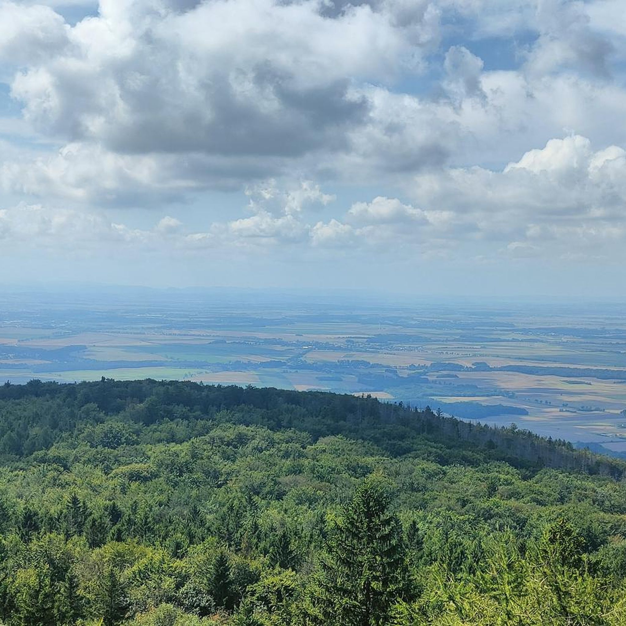
If you're heading to Ślęża, it's almost certainly from here. There's a good parking lot here and plenty of trail signs. The pass is at 384m above sea level and from here there are beautiful views of the surrounding area.
1
0

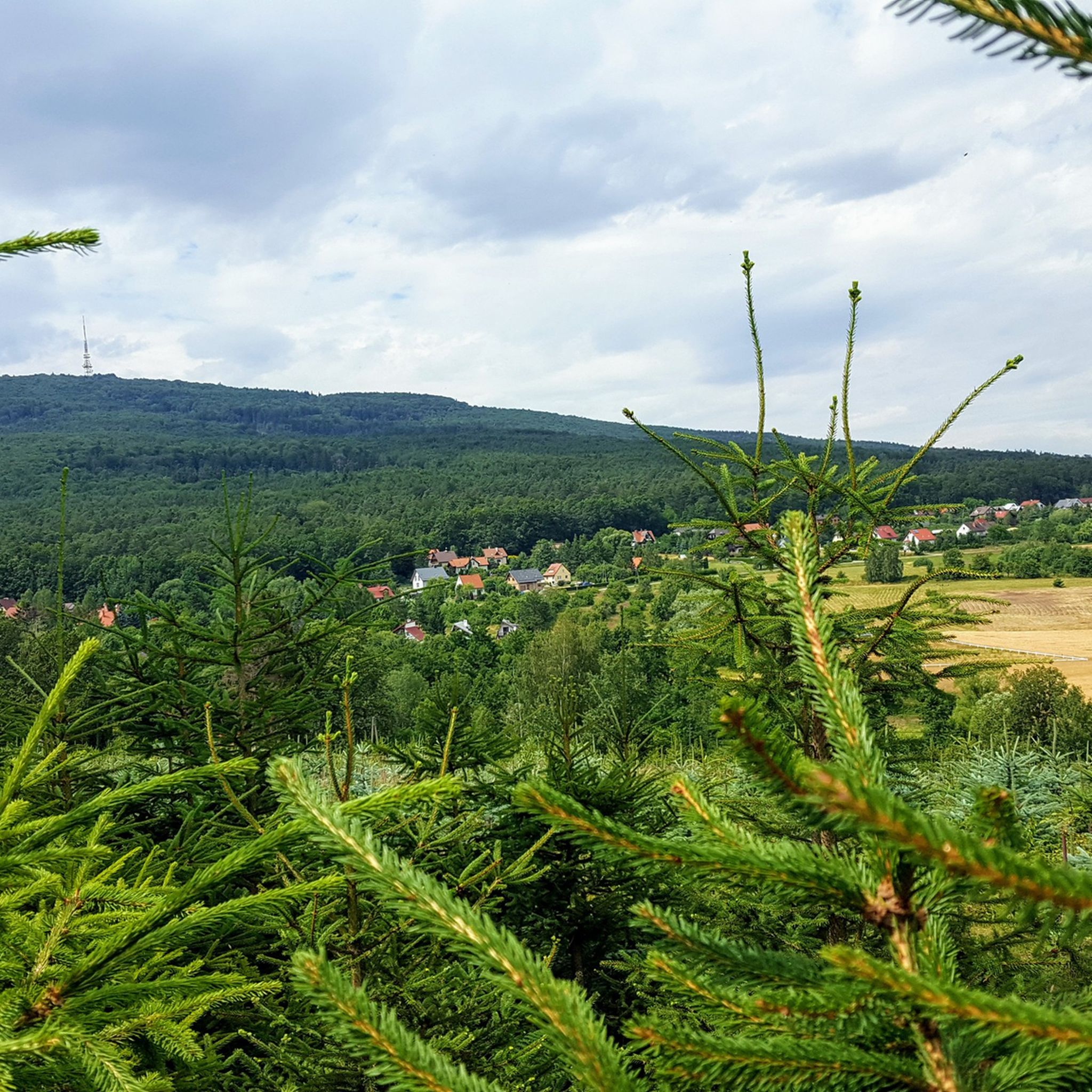
For Sunday boredom, a walk with the dog and beautiful views.
0
0
Frequently Asked Questions
How many road cycling routes are available in Ślężański Park Krajobrazowy?
There are over 20 road cycling routes available in Ślężański Park Krajobrazowy, catering to various skill levels. These routes are highly rated by the komoot community, with an average score of 4.7 stars.
Are there easy road cycling routes suitable for beginners in Ślężański Park Krajobrazowy?
Yes, the region offers several easy road cycling routes perfect for beginners. For instance, the View of Ślęża – Sobótka Town Center loop from Ślężański Park Krajobrazowy is a gentle 19.2 km ride with minimal elevation gain. Another accessible option is the Sobótka Town Center – View of Ślęża loop from gmina Sobótka, which is about 12.9 km long.
Are there challenging road bike climbs in the area?
Yes, Ślężański Park Krajobrazowy is known for its moderate elevation changes and several passes that offer challenging climbs. Routes like the Tąpadła Pass – Sulistrowicka Pass loop from Rezerwat Góra Radunia feature ascents to two significant passes, providing a good workout for experienced cyclists.
What are the typical distances and durations of road cycling routes in Ślężański Park Krajobrazowy?
The road cycling routes in this region vary in length and duration. You can find shorter rides around 13-20 km, taking about 1-1.5 hours, such as the Sobótka Town Center – View of Ślęża loop from gmina Sobótka. Longer routes, like the Tąpadła Pass – Sulistrowicka Pass loop from Rezerwat Góra Radunia, can extend to nearly 46 km and take close to 3 hours to complete.
Are there loop road bike trails in Ślężański Park Krajobrazowy?
Many of the road cycling routes in Ślężański Park Krajobrazowy are designed as loops, offering convenient starting and ending points. Examples include the Tąpadła Pass – Tąpadła loop from Sobótka and the Sulistrowicka Pass – Tąpadła Pass loop from Winna Góra, allowing you to explore the area without retracing your path.
What is the best season for road cycling in Ślężański Park Krajobrazowy?
The most enjoyable seasons for road cycling in Ślężański Park Krajobrazowy are typically spring, summer, and early autumn. During these months, the weather is generally mild, and the natural scenery is at its most vibrant, offering pleasant conditions for exploring the region's varied terrain.
Are there any interesting landmarks or attractions to see along the road cycling routes?
Yes, the routes often pass by significant landmarks. You can encounter historical sites like the Church of the Visitation of the Blessed Virgin Mary on Mount Ślęża, or natural features such as Mount Ślęża itself. The Tąpadła Pass is also a notable point of interest frequently included in routes.
What do other road cyclists enjoy the most about road cycling in Ślężański Park Krajobrazowy?
The area is highly rated by the komoot community, with an average score of 4.7 stars from over 20 reviews. Reviewers often praise the varied landscape, which includes rolling hills, forested sections, and open countryside, as well as the well-connected network of roads that make for engaging rides.
Are there parking options available for road cyclists near the routes?
While specific parking details vary by starting point, many popular access points to the park's road cycling routes, especially in towns like Sobótka or near major passes, offer designated parking areas. It's advisable to check local signage upon arrival.
How can I access the road cycling routes using public transport?
Sobótka, a central town in the region, is often a good starting point for many routes and is accessible by public transport, including regional bus services. From Sobótka, you can easily connect to various road cycling loops and trails within Ślężański Park Krajobrazowy.
Are there cafes or places to rest along the road cycling routes?
Yes, especially in the towns and villages that the routes traverse, such as Sobótka. Additionally, the PTTK Tourist House on Mount Ślęża offers a place to rest and refuel, though reaching it involves a climb. Many routes pass through areas where you can find local establishments.
Are there scenic viewpoints along the road cycling routes?
Absolutely. The routes in Ślężański Park Krajobrazowy often provide stunning views of the surrounding plains and the iconic Ślęża Massif. Passes like Tąpadła Pass and Sulistrowicka Pass offer elevated perspectives, and certain sections provide panoramic vistas of the picturesque landscape.
Most popular routes around Ślężański Park Krajobrazowy
Most popular attractions around Ślężański Park Krajobrazowy

Get inspired with the komoot mobile app


Explore more
Browse the best Road cycling routes in other regions.
