The best running trails around Park Krajobrazowy Gór Słonnych
4.7
(11)
658
runners
16
runs
Jogging around Park Krajobrazowy Gór Słonnych offers diverse terrain through the Słonne Mountains in southeastern Poland. The region is characterized by extensive Carpathian beech forests covering over 73% of the park, providing shaded running routes. It features varied elevations, from gentle slopes along river valleys to more challenging ascents on hills up to 618 meters. The landscape includes numerous streams and exposed Carpathian flysch, offering varied running surfaces for Park Krajobrazowy Gór Słonnych jogging routes.
Best jogging routes around Park…
Last updated: July 10, 2026
5.0
(1)
15
runners
11.8km
01:22
290m
290m
Moderate run. Good fitness required. Mostly paved surfaces. Suitable for all skill levels.
10
runners
8.96km
00:56
60m
60m
Moderate run. Good fitness required. Mostly paved surfaces. Suitable for all skill levels.

Sign up for free
8
runners
7.45km
00:49
160m
160m
Moderate run. Good fitness required. Mostly paved surfaces. Suitable for all skill levels.
8
runners
11.0km
01:14
250m
250m
Moderate run. Good fitness required. Mostly paved surfaces. Suitable for all skill levels.
6
runners
16.7km
01:49
300m
300m
Hard run. Very good fitness required. Mostly paved surfaces. Suitable for all skill levels.
Get access to more routes and recommendations from other explorers.
Sign up for free
Already have an account?
Our route recommendations are based on thousands of hikes, rides, and runs completed by other people on komoot.
Start today with a free account
Your next adventure awaits.
Login or Signup
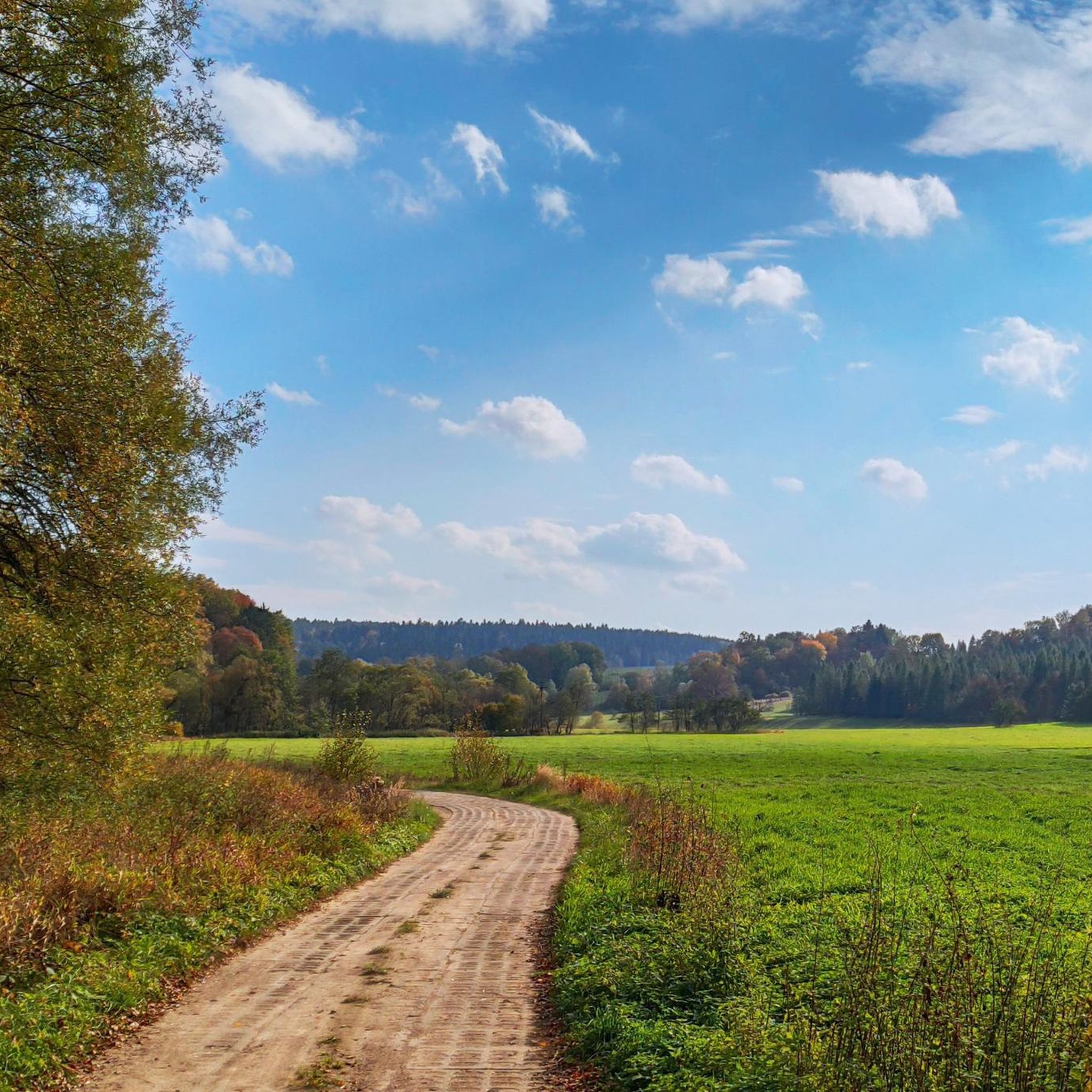
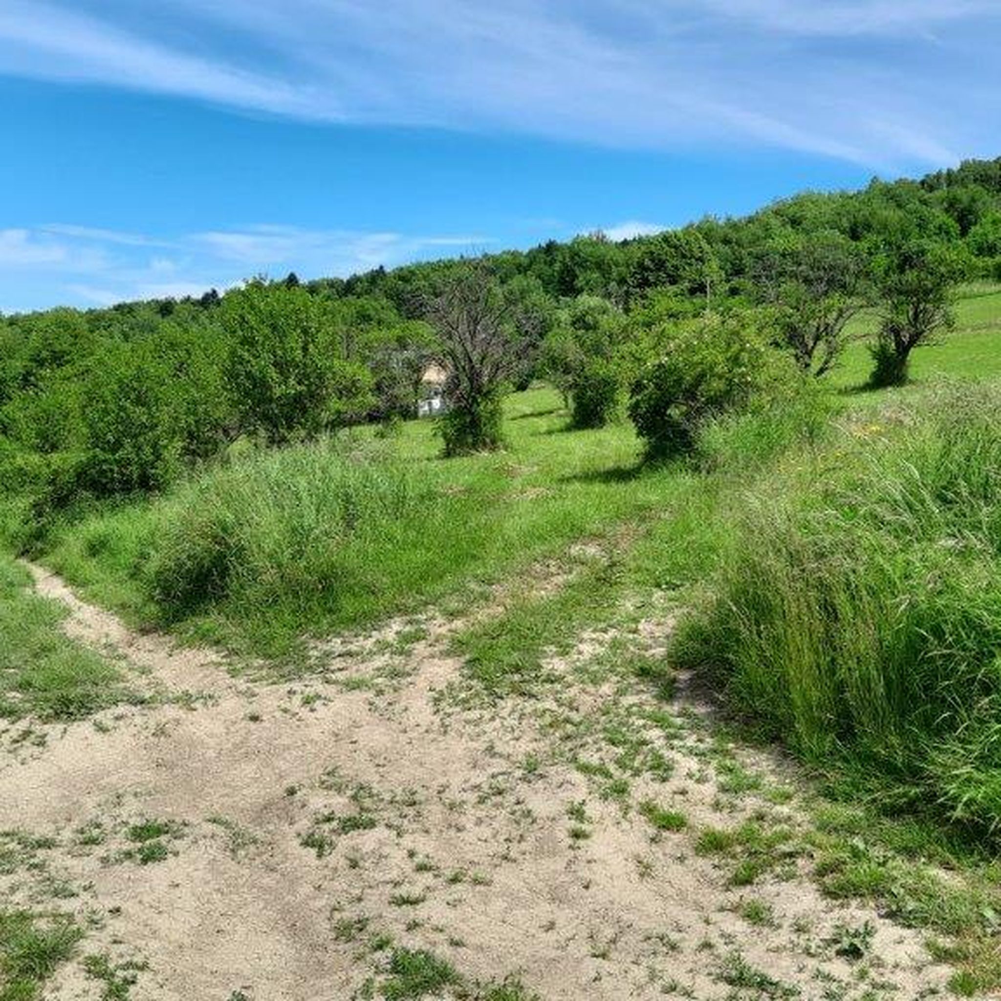
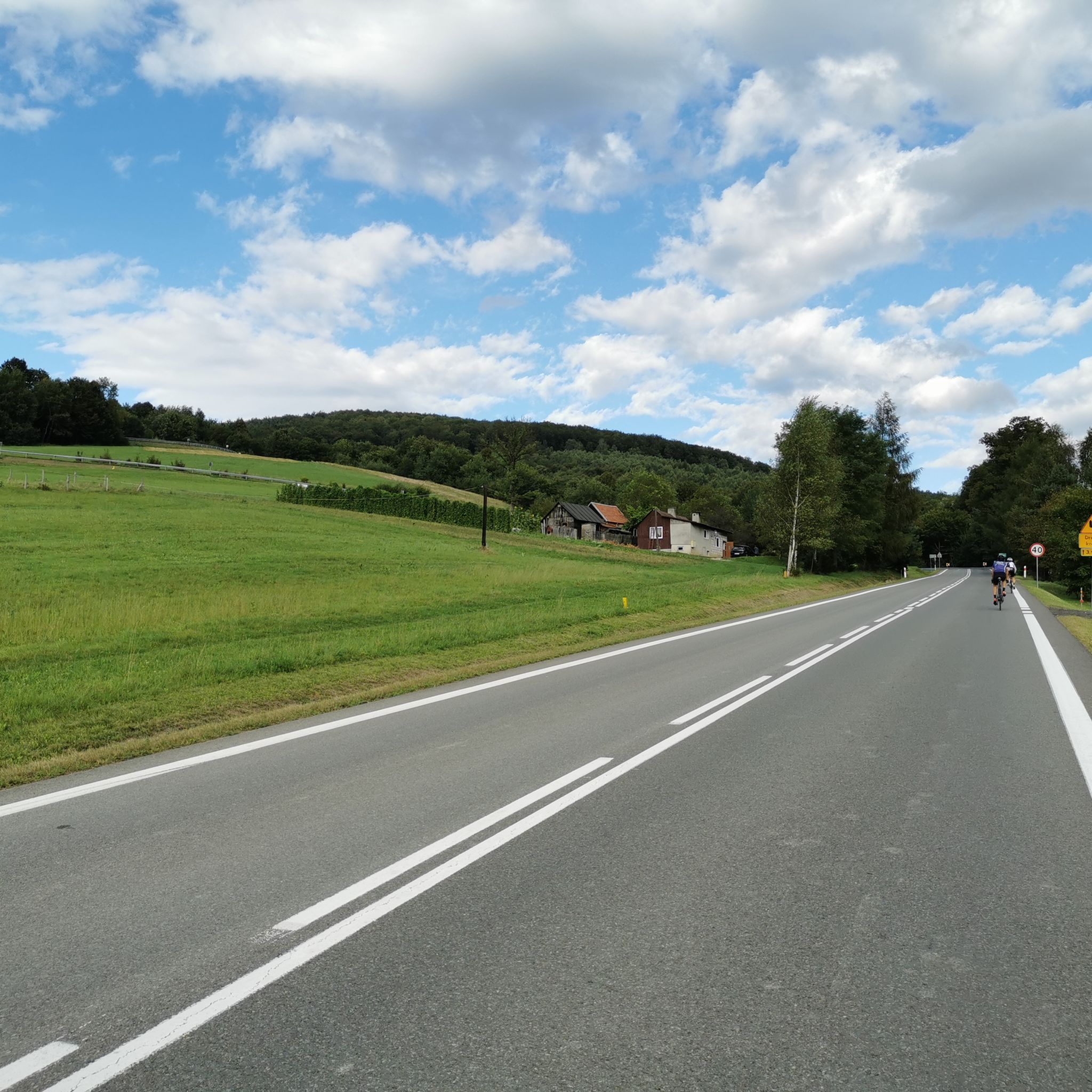
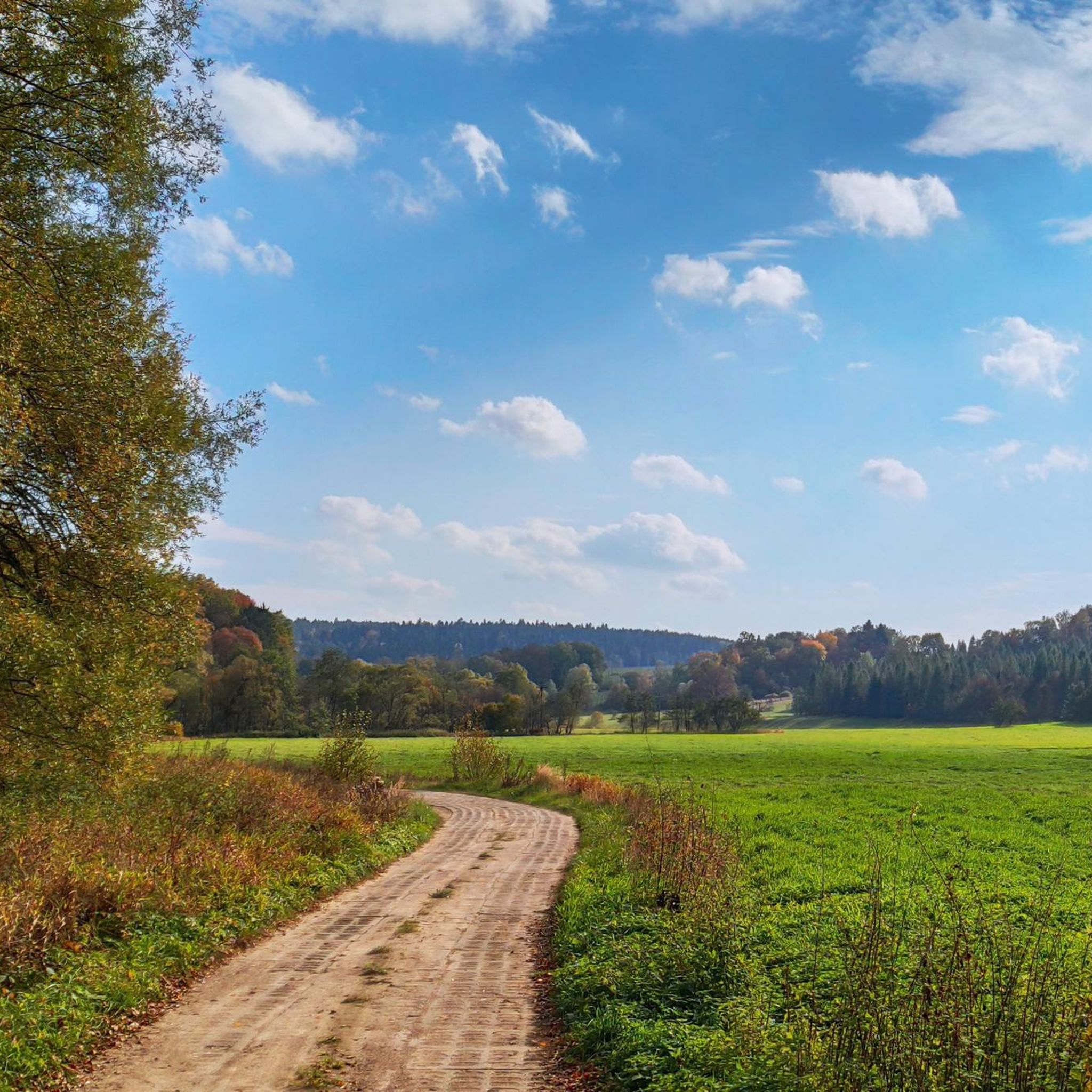
Tips from the Community

Suchy Obycz is the highest peak of the Przemyśl Foothills. The path leading to it is overgrown in places and there are fallen trees, so I recommend high shoes, appropriate clothing and anti-tick protection.
3
0
Frequently Asked Questions
What kind of terrain can I expect on the running routes in Park Krajobrazowy Gór Słonnych?
The Park Krajobrazowy Gór Słonnych offers a diverse landscape for runners. You'll find routes traversing the Słonne and Chwaniów mountain ranges, featuring varied elevations from gentle slopes along river valleys to more challenging ascents up to 618 meters. Over 73% of the park is covered by natural Carpathian beech forests, providing shaded trails. The terrain also includes exposed Carpathian flysch and numerous streams, offering a mix of surfaces.
Are there any easy jogging routes suitable for beginners or a relaxed run?
While many routes in the park are classified as moderate, there are options with gentler elevation gains. For instance, the Running loop from Wojtkowa is a moderate 9.0 km path with a relatively gentle elevation gain of around 62 meters, making it suitable for a steady and less strenuous run.
What are some popular longer running trails in the Słonne Mountains?
For those looking for a longer run, the Hotel Arłamów loop from Turnica is a popular choice, covering 11.8 km with an elevation gain of over 290 meters. Another excellent option is the Wierch – Żytne loop from Turnica, which is a more challenging 20.1 km route with 370 meters of elevation gain.
Can I find circular running routes in Park Krajobrazowy Gór Słonnych?
Yes, many of the routes in the park are designed as loops, allowing you to start and finish in the same location. Examples include the Hotel Arłamów loop from Turnica, the Running loop from Wojtkowa, and the Połoninki Arłamowskie loop from Turnica, all offering convenient circular paths.
Are there any interesting natural attractions or viewpoints along the jogging trails?
Absolutely! The park is rich in natural beauty. You can find several viewpoints offering panoramic vistas, such as those overlooking the San River and the Bieszczady Mountains. The trail to Orlik peak (618 m) also provides scenic views of surrounding hills. Don't miss the Polanki Nature Reserve, known for its Carpathian beech forests, or the impressive Eagle Rock.
What is the best time of year for running in Park Krajobrazowy Gór Słonnych?
The park is beautiful year-round, but spring and autumn generally offer the most pleasant conditions for running. Spring brings lush greenery and blooming flora, while autumn showcases vibrant fall foliage. Summers are also suitable, with the extensive beech forests providing welcome shade. Winters can be challenging due to snow and ice, but offer a unique experience for well-equipped runners.
Are there any routes that pass by historical or cultural points of interest?
The region has a rich history. The park's name, 'Słonne Mountains' (Salt Mountains), comes from numerous saline springs historically used for salt production. While specific jogging routes might not directly pass through major historical sites, you can explore nearby attractions like the Church of the Transfiguration (Former Greek Catholic Church, 1820) in Manasterzec or the Oil mine, which are close to the park's boundaries.
What do other runners say about the trails in Park Krajobrazowy Gór Słonnych?
The running routes in Park Krajobrazowy Gór Słonnych are highly rated by the komoot community, with an average score of 4.75 stars. Over 600 runners have used komoot to explore the varied terrain, often praising the natural beauty, the extensive forest cover providing shade, and the diverse range of difficulty levels available.
Are there any challenging running routes for experienced runners?
Yes, for experienced runners seeking a challenge, the park offers more difficult routes. The Wierch – Żytne loop from Turnica is a difficult 20.1 km trail with a significant elevation gain of 370 meters, providing a demanding and rewarding experience through the mountainous terrain.
What kind of natural features define the landscape of Park Krajobrazowy Gór Słonnych?
The park is characterized by its extensive Carpathian beech forests, which cover over 73% of the area. It also features the Słonne and Chwaniów mountain ranges, with numerous peaks and varied elevations. The landscape is crisscrossed by a network of rivers and streams belonging to the San River basin, and you can observe interesting geological formations of exposed Carpathian flysch.
Are there any specific nature reserves I can run through or near?
Yes, the Polanki Nature Reserve is a notable area within the park, established to protect its unique Carpathian beech forests. It features a 2-kilometer nature and educational trail with thematic stops, offering an engaging running experience amidst ancient trees. Another significant reserve is the Góra Sobień Nature Reserve.
Most popular routes around Park Krajobrazowy Gór Słonnych
Most popular attractions around Park Krajobrazowy Gór Słonnych

Get inspired with the komoot mobile app


Explore more
Browse the best Running Trails & Routes in other regions.
