The best walks and hikes around Park Krajobrazowy Gór Słonnych
4.5
(370)
4,457
hikers
26
hikes
Hiking around Park Krajobrazowy Gór Słonnych, located in the Eastern Carpathians of southeastern Poland, offers diverse landscapes for outdoor enthusiasts. The region is characterized by mountain ranges like the Słonne Mountains, featuring ridges intersected by rivers and streams. Over 73% of the park is covered by natural Carpathian beech forests, providing a setting for trails. Peaks such as Berdo (736 m) and Słonny (676 m) define the terrain, alongside features like the Olszanka Waterfall and areas of Carpathian flysch.
Best…
Last updated: July 7, 2026
4.5
(2)
28
hikers
9.29km
02:33
150m
150m
Moderate hike. Good fitness required. Easily-accessible paths. Suitable for all skill levels.
4.0
(1)
21
hikers
2.34km
00:43
80m
80m
Easy hike. Great for any fitness level. Easily-accessible paths. Suitable for all skill levels.

Sign up for free
3
hikers
12.7km
03:51
420m
420m
Moderate hike. Good fitness required. Easily-accessible paths. Suitable for all skill levels.
5.0
(2)
28
hikers
11.5km
03:18
270m
270m
Moderate hike. Good fitness required. Easily-accessible paths. Suitable for all skill levels.
17
hikers
3.97km
01:01
20m
20m
Easy hike. Great for any fitness level. Easily-accessible paths. Suitable for all skill levels.
Get access to more routes and recommendations from other explorers.
Sign up for free
Already have an account?
Our route recommendations are based on thousands of hikes, rides, and runs completed by other people on komoot.
Start today with a free account
Your next adventure awaits.
Login or Signup
Tips from the Community

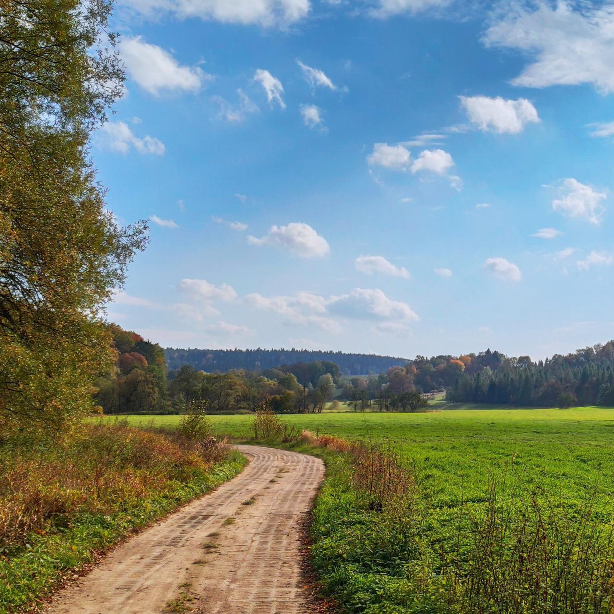
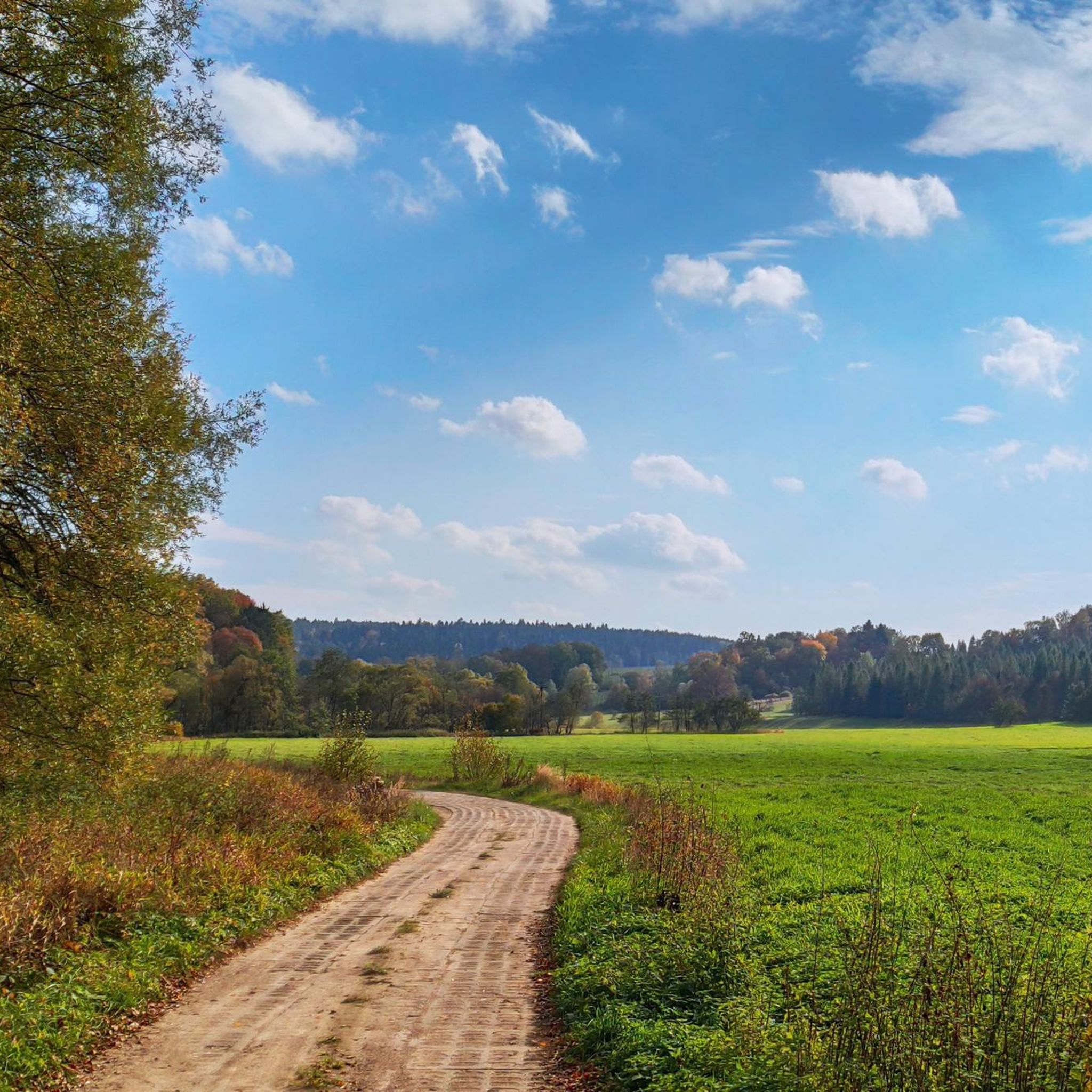
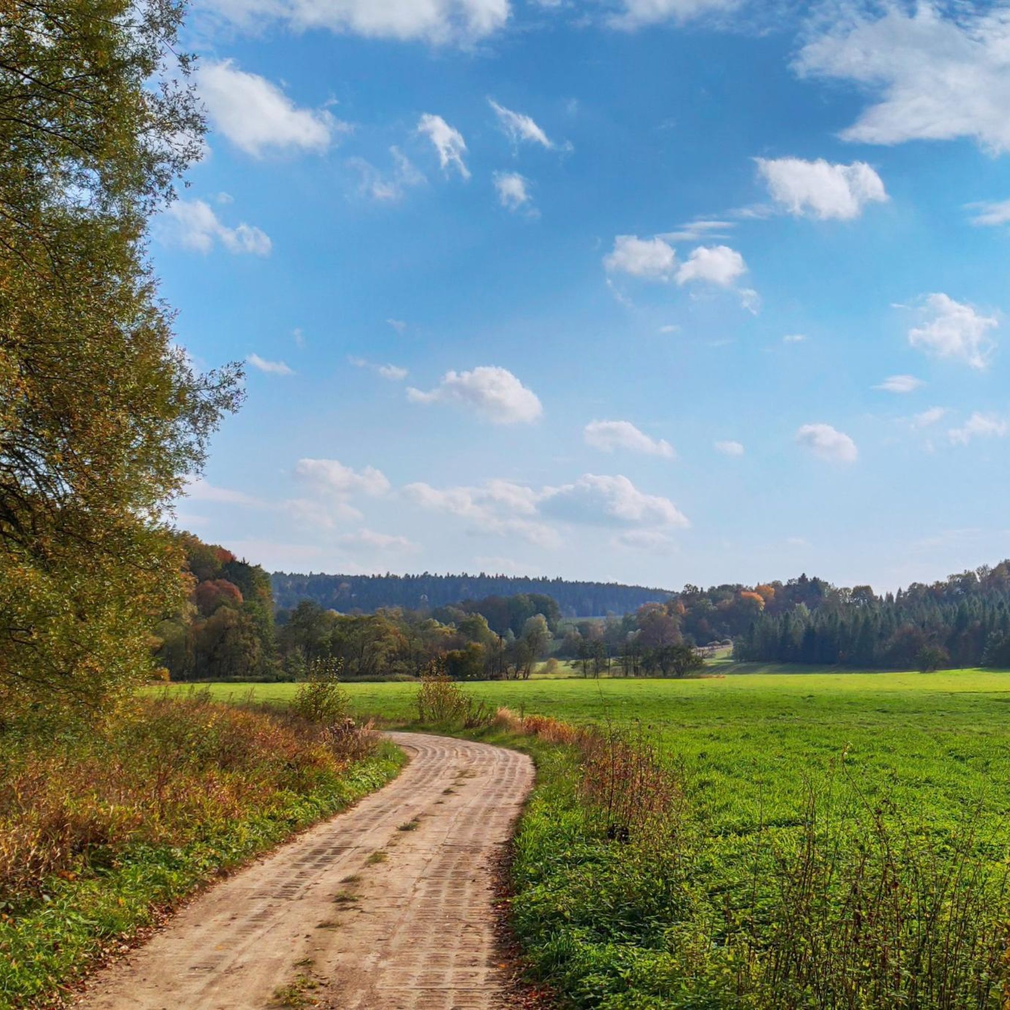
A quiet place among meadows, with a bench positioned perfectly towards the mountains. From here there is a beautiful view of the hill ranges, and in good weather you can even see the distant peaks of the Bieszczady Mountains.
2
0

Ruins of the medieval Sobień castle, destroyed in the 15th century by Hungarian troops. According to legend, the castle is haunted by two ladies: a black one and a white one :)
3
0
Viewing platform at the end of the short nature trail "Na Góra Sobień". Fantastic view of the San River. In the same place we can visit the ruins of the castle.
3
0
Słonny (south-east) (668 m above sea level) is included in the Crown of the Sanok Land and the Diadem of Polish Mountains. Słonny has two peaks (south-east and north-west), both of which can be reached along the Przemyśl-Sanok Red Trail from the Przysłup Pass.
3
0
Fantastic observation deck with a panorama of the Bieszczady Mountains. There are benches and a toilet on the terrace. There is a parking lot right next to it.
2
0
The Polanki nature reserve was established in 1996 to protect natural forest communities of the Carpathian beech forest. A nature and educational trail with a length of approximately 2 kilometers was created within the reserve. It is located 8 km from the center of Sanok, you can get there by car or public transport. There is tourist infrastructure on the path, including a shelter with a bonfire place and 10 thematic stops. The stops present various species of trees, birds, mushrooms, monumental firs, Carpathian beech forest and rare plant species. During the hike, it is worth paying attention to the 19th-century earthworks at stop No. 2, used for primitive oil extraction. The path can be visited all year round, but it is recommended in spring due to the flowering plants.
1
0

Watch the video: https://youtu.be/j_pRKEUh4XM?si=Rh2nT9w0ZtOGNjuu
0
0
Frequently Asked Questions
What kind of terrain can I expect when hiking in Park Krajobrazowy Gór Słonnych?
The park is characterized by diverse landscapes, including mountain ranges like the Słonne Mountains with ridges running from northwest to southeast. You'll find extensive natural Carpathian beech forests covering over 73% of the park, providing a lush environment. Trails often feature varied elevations, leading to peaks and offering panoramic views, and are intersected by rivers and streams.
Are there easy trails suitable for families or beginners?
Yes, Park Krajobrazowy Gór Słonnych offers several easy trails perfect for families and beginners. For instance, the Polanki Nature and Educational Trail is an easy 1.5-mile (2.3 km) path that leads through protected natural forest communities of Carpathian beech, offering an immersive nature experience without significant challenge.
Can I find trails with scenic viewpoints in the park?
Absolutely. Many trails in Park Krajobrazowy Gór Słonnych lead to vantage points offering expansive views. Peaks like Orlik and Kamionka (631 m) provide beautiful panoramic vistas, including the San River and the distant Bieszczady Mountains. You can also find a general Viewpoint listed as a highlight in the area.
Are there any waterfalls or significant water features to see?
Yes, the park is notable for its watercourses. A specific attraction is the Olszanka Waterfall near Uherce, which can be explored via an easy loop trail. The park's name, 'Słonne' (meaning 'salt' or 'brine'), also hints at the presence of salty springs within the area.
What are the best times of year to go hiking in Park Krajobrazowy Gór Słonnych?
The park is beautiful throughout the warmer months. Spring brings vibrant greenery and blooming flora, while summer offers pleasant temperatures for longer excursions. Autumn transforms the extensive beech forests into a spectacular display of colors, making it a particularly scenic time for hiking. Winter hiking is also possible, though conditions can be more challenging due to snow and ice.
Are there any longer or more challenging routes for experienced hikers?
Yes, for more experienced hikers, there are moderate to difficult routes available. An example is the Przysłup - Sobień Trail, a 7.9-mile (12.7 km) route that leads through forested mountain terrain and takes approximately 3 hours and 51 minutes to complete, offering a more demanding experience.
What natural features or reserves can I explore in the park?
The park is home to nine nature reserves, established to protect unique natural communities. A prominent example is the Polanki Nature Reserve, which safeguards natural forest communities of the Carpathian beech forest. You can explore this area via the Polanki Nature Reserve highlight. Another notable area is the Góra Sobień Nature Reserve.
What do other hikers say about their experience in Park Krajobrazowy Gór Słonnych?
The hiking experience in Park Krajobrazowy Gór Słonnych is highly rated by the komoot community, with an average score of 4.4 stars from over 260 reviews. Hikers often praise the immersive nature experience provided by the extensive Carpathian beech forests and the varied terrain suitable for different skill levels.
Are there any circular hiking routes available?
Yes, you can find circular routes in the park. For example, the Olszanka Waterfall (Uherce) loop from Uherce is an easy 4.4 km (2.7 miles) circular trail that allows you to experience the waterfall and surrounding nature.
Is Park Krajobrazowy Gór Słonnych suitable for dog owners?
While specific regulations for dogs are not detailed in the provided information, generally, national and landscape parks in Poland have rules regarding dogs, often requiring them to be on a leash. It's always recommended to check local signage or the official park website for the most current dog-friendly policies before your visit to ensure a pleasant experience for everyone.
What are the highest points or most prominent mountains in the park?
The highest point within Park Krajobrazowy Gór Słonnych is Berdo, reaching 736 meters. Another prominent mountain is Słonny, at 676 meters. These peaks offer challenging ascents and rewarding views of the surrounding landscape.
Are there any historical or cultural landmarks near the hiking trails?
While the park is primarily known for its natural beauty, you can find some historical points of interest nearby. For instance, the Church of the Transfiguration (Former Greek Catholic Church, 1820) in Manasterzec is a notable historical building in the vicinity. The Góra Sobień Nature Reserve also has historical significance.
Most popular routes around Park Krajobrazowy Gór Słonnych
Most popular attractions around Park Krajobrazowy Gór Słonnych

Get inspired with the komoot mobile app


Explore more
Browse the best Hikes in other regions.
