The best running trails around Peguerinos
4.4
(37)
2,714
runners
201
runs
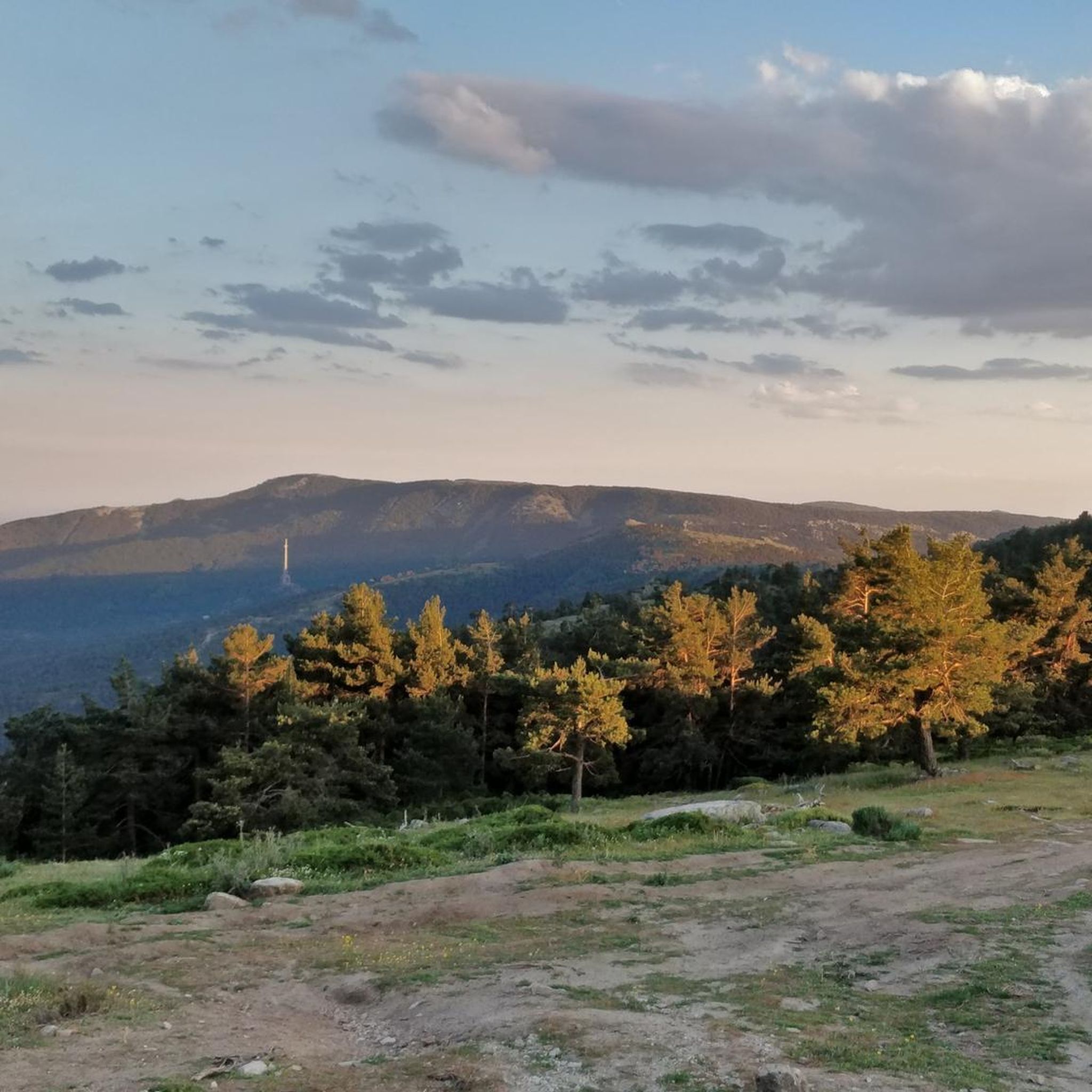
Jogging around Peguerinos offers a diverse landscape for runners, situated within the Sierra de Guadarrama National Park. The region is characterized by its mountainous terrain, featuring pine forests, granite formations, and a network of trails that traverse varying elevations. Runners can expect a mix of challenging ascents and scenic paths through natural woodlands.
Best jogging routes around Peguerinos
- The most popular jogging route is Ascent to La Peñota via La Esfinge — circular route through the Sierra de Guadarrama National…
Last updated: October 8, 2026
8.40km
01:11
300m
290m
Hard run. Good fitness required. Sure-footedness, sturdy shoes and alpine experience required.
57
runners
22.5km
03:23
800m
800m
Hard run. Very good fitness required. Sure-footedness, sturdy shoes and alpine experience required.

40
runners
31.9km
05:34
1,660m
1,660m
Hard run. Very good fitness required. Sure-footedness, sturdy shoes and alpine experience required.
32
runners
14.2km
01:58
490m
490m
Hard run. Very good fitness required. Sure-footedness, sturdy shoes and alpine experience required.
13
runners
10.4km
01:07
140m
140m
Moderate run. Good fitness required. Mostly paved surfaces. Suitable for all skill levels.
Get access to more routes and recommendations from other explorers.
Already have an account?
Our route recommendations are based on thousands of hikes, rides, and runs completed by other people on komoot.
Start today with a free account
Your next adventure awaits.

Other adventures around Peguerinos

Tips from the Community

The Chubieco Meadows with the nearby stream of the same name, are a flat place that invites peace and tranquility.
0
0
Alto de Cueva Valiente is a place from which you can see wonderful views in every direction.
0
0

Cueva Valiente is a mountain located in the Sierra de Guadarrama, part of the Central System. A popular route starts from San Rafael and takes approximately 4 hours in total to reach Cueva Valiente and return. The trail follows a network of paths, some of which can be difficult to follow, so carrying a map or GPS is recommended. The total distance is 11.2 kilometers, with an ascent of 689 meters and an equal descent. The maximum altitude reached is 1903 meters. If you are interested in exploring this beautiful mountain, I encourage you to take the hike! 😊
2
0

Beautiful waterfall that, although it can be avoided, is always nice to see its waters fall from the highest parts of the Sierra on its southern side. When it's hot, a great place to cool off.
1
1

The path reaches the hill where the old Gargantilla hill track climbs to the left and begins the final stretch of the climb to the top of Cueva Valiente (1,903 m). On the meadow there is a well-kept mountain refuge and natural granite sculptures, it is a summit with unattainable design and views. The negative 600 meters of the descent begin on the path marked with stone markers towards the north slope. The abyss where San Rafael is is overwhelming. The path overcomes a steep slope in a few meters, passes through the detour of the cave that gives its name to the mountain and ends in the meadow of the Peñotillo hill, turning left along a technical path that goes down towards the Gargantilla hill. Before reaching the hill, known for the reconstructed forts from the Civil War, the trail turns to the right and continues the frenetic descent down the Gargantilla stream ravine. On some stones there are points of red paint along paths parallel to the stony main path.
0
1
Beautiful waterfall that, although it can be avoided, it's always nice to see its waters falling from the highest parts of the Sierra on its southern side. For when it's hot a great place to cool off.
0
1
This path that borders the banks of the Río de la Aceña and ends at the same dam is a beautiful and entertaining trail for running!
0
1
This is a small reservoir that bears the name of Aceña and that is born in the town that is located at the opposite end of this point, Peguerinos. It is always beautiful to see the swamp from one side and the other of the dam.
0
1
Frequently Asked Questions
How many running routes can I find in Peguerinos?
Peguerinos offers a wide selection of over 130 running routes. These trails cater to various fitness levels, ranging from easy paths to very challenging ascents within the Sierra de Guadarrama National Park.
Are there any easy or beginner-friendly jogging routes in Peguerinos?
Yes, while many routes are challenging, there are 7 easy running trails in Peguerinos suitable for beginners or those looking for a more relaxed pace. These paths typically feature less elevation gain and gentler terrain.
What kind of terrain can I expect on the jogging trails around Peguerinos?
The terrain in Peguerinos is predominantly mountainous, characterized by dense pine forests, granite formations, and a network of trails with varying elevations. You'll encounter a mix of challenging ascents and scenic paths through natural woodlands, typical of the Sierra de Guadarrama National Park.
Are there any long-distance running trails for experienced joggers?
Absolutely. For those seeking a longer challenge, consider the Refugio de la Salamanca – Cabeza Líjar Summit loop from Puerto de Guadarrama o Alto del León. This difficult route spans over 19 km (12 miles) and features significant elevation gain, offering a demanding and rewarding experience.
What are some notable landmarks or viewpoints along the running routes?
Many routes offer stunning views and pass by interesting points. You might encounter mountain passes like Alto del León or Collado del Hornillo. Some trails also lead past shelters such as Refugio de la Salamanca, offering scenic breaks and panoramic vistas.
Are there circular running routes available in Peguerinos?
Yes, many of the running routes in Peguerinos are circular, allowing you to start and finish at the same point. A great example is the La Peñota – La Peñota Peak loop from Puerto de Guadarrama o Alto del León, which is a challenging 12.9 km (8 miles) circular trail.
What do other runners enjoy most about jogging in Peguerinos?
The running routes in Peguerinos are highly rated by the komoot community, with an average score of 4.6 stars. Runners frequently praise the diverse mountain trails, the beauty of the dense pine forests, and the rewarding views within the Sierra de Guadarrama National Park.
Is Peguerinos a good destination for family-friendly running or walking?
While many routes are challenging, there are easier paths that families can enjoy for a run or a walk. Look for routes designated as 'easy' in the komoot app, which typically have less elevation and are shorter in distance, making them more suitable for all ages.
Can I bring my dog on the running trails in Peguerinos?
Generally, dogs are welcome on many trails in the Sierra de Guadarrama National Park, but it's crucial to keep them on a leash to protect wildlife and respect other trail users. Always check specific trail regulations before heading out, especially within protected areas.
What is the best time of year to go running in Peguerinos?
Spring and autumn are generally the best times for running in Peguerinos, offering pleasant temperatures and vibrant natural scenery. Summer can be hot, especially at lower elevations, so early mornings or late afternoons are preferable. Winter running is possible but requires appropriate gear for potentially cold and snowy conditions, particularly at higher altitudes.
Are there options for parking near the running trailheads?
Yes, many popular trailheads and starting points in and around Peguerinos offer parking facilities. It's advisable to check the specific route details on komoot for information on parking availability at your chosen starting point.
How can I reach the jogging trails in Peguerinos using public transport?
Public transport options to Peguerinos are available, primarily by bus from nearby towns like San Lorenzo de El Escorial, which has connections to Madrid. From Peguerinos village, you can access various trailheads. It's recommended to check current bus schedules as services may be less frequent on weekends or holidays.
Most popular routes around Peguerinos
Most popular attractions around Peguerinos

Get inspired with the komoot mobile app


Explore more
Browse the best Running Trails & Routes in other regions.
