The best walks and hikes around Peguerinos
4.6
(97)
420
hikers
34
hikes
Hiking around Peguerinos offers diverse landscapes within the Sierra de Guadarrama National Park, bordering Madrid and Segovia. The region is characterized by extensive pine forests, numerous reservoirs, and accessible mountain peaks. This area provides a variety of trails, from gentle walks around water bodies to more challenging ascents into the mountains.
Best hiking trails around Peguerinos
- The most popular hiking route is San Juan and Los Tientos Circular Trail, a 6.5 miles (10.4 km) trail that takes 3 hours 16 minutes to complete. This route traverses the eastern part of the Sierra de Guadarrama National Park.
- Another top favourite among local hikers is Cueva Valiente Loop from San Rafael, a moderate 6.9 miles (11.1 km) path. This trail leads to Cueva Valiente mountain, offering a rewarding challenge with significant elevation gain.
- Local hikers also love the Ascent to Cabeza Líjar and Mirador Peña del Aguila — circular route through the west of the Parque Nacional de la Sierra de Guadarrama, a 5.3 miles (8.5 km) trail leading through the western side of the Sierra de Guadarrama National Park, often completed in about 3 hours 36 minutes.
- Hiking around Peguerinos is defined by pine forests, clear reservoirs, and mountain peaks within the Sierra de Guadarrama National Park. The network offers options for different ability levels, from easy reservoir loops to moderate mountain ascents.
- The routes in Peguerinos are highly rated by the komoot community with an average score of 4.6 stars from over 90 reviews. More than 400 hikers have used komoot to explore Peguerinos's varied terrain.
Last updated: July 7, 2026
4.4
(10)
34
hikers
10.4km
03:16
250m
250m
Moderate hike. Good fitness required. Mostly accessible paths. Sure-footedness required.
4.0
(2)
7
hikers
11.1km
04:13
490m
490m
Moderate hike. Good fitness required. Mostly accessible paths. Sure-footedness required.

Sign up for free
5.0
(1)
2
hikers
Moderate hike. Good fitness required. Mostly accessible paths. Sure-footedness required.
4.3
(3)
5
hikers
9.83km
02:42
170m
170m
Moderate hike. Good fitness required. Easily-accessible paths. Suitable for all skill levels.
5.0
(1)
2
hikers
15.4km
04:51
530m
530m
Moderate hike. Good fitness required. Mostly accessible paths. Sure-footedness required.
Get access to more routes and recommendations from other explorers.
Sign up for free
Already have an account?
Our route recommendations are based on thousands of hikes, rides, and runs completed by other people on komoot.
Start today with a free account
Your next adventure awaits.
Login or Signup


Other adventures around Peguerinos

Tips from the Community

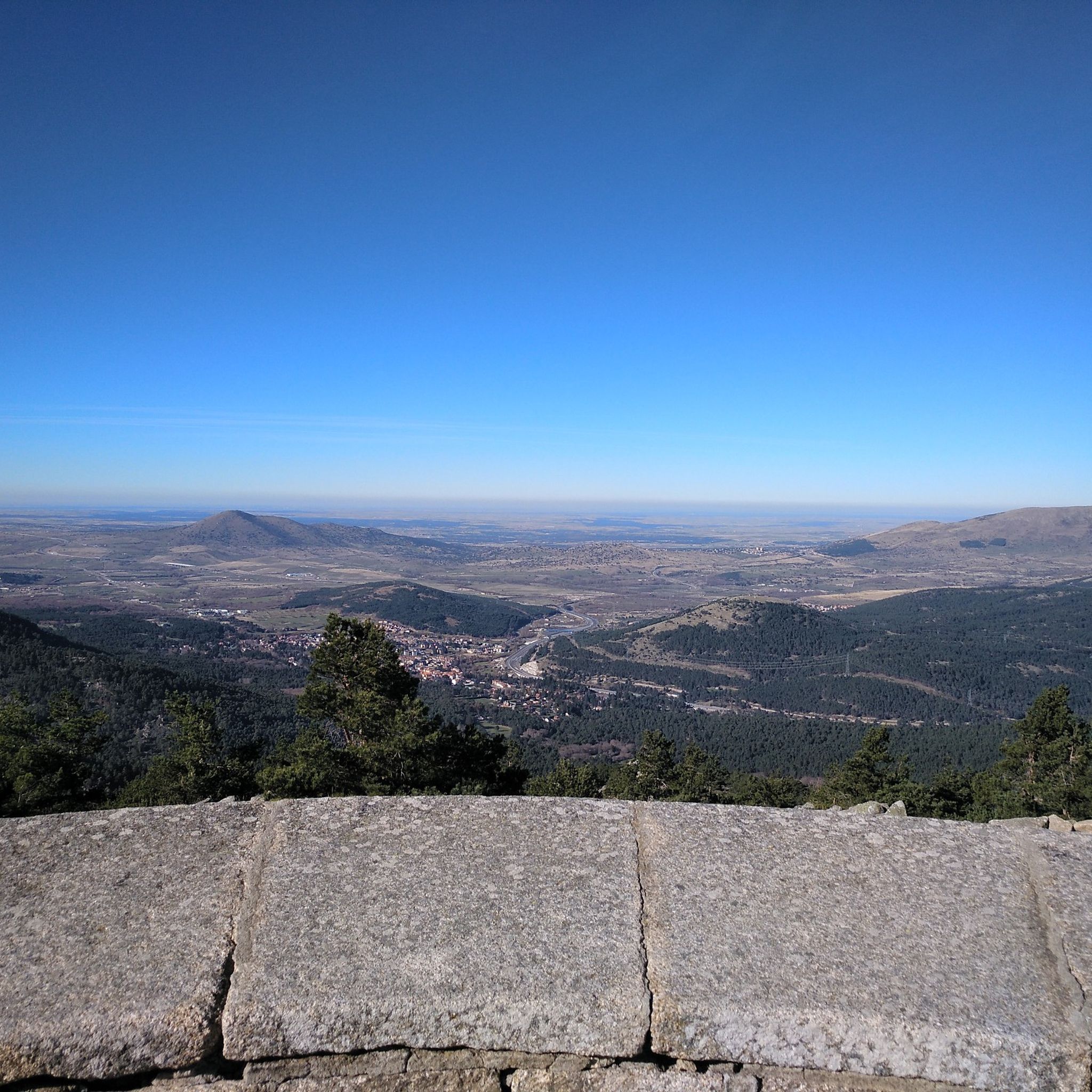
Spectacular viewpoint in the middle of the Sierra de Guadarrama above El Espinar. The Senda de la Peña del Águila trail begins on the outskirts of the town of San Rafael, in Segovia. It is about 6 km in which we will venture into the beautiful pine forests of the area until we reach the viewpoint.
0
0

The views are spectacular; it's worth stopping by and visiting this sculptural and architectural gem of our country.
0
0
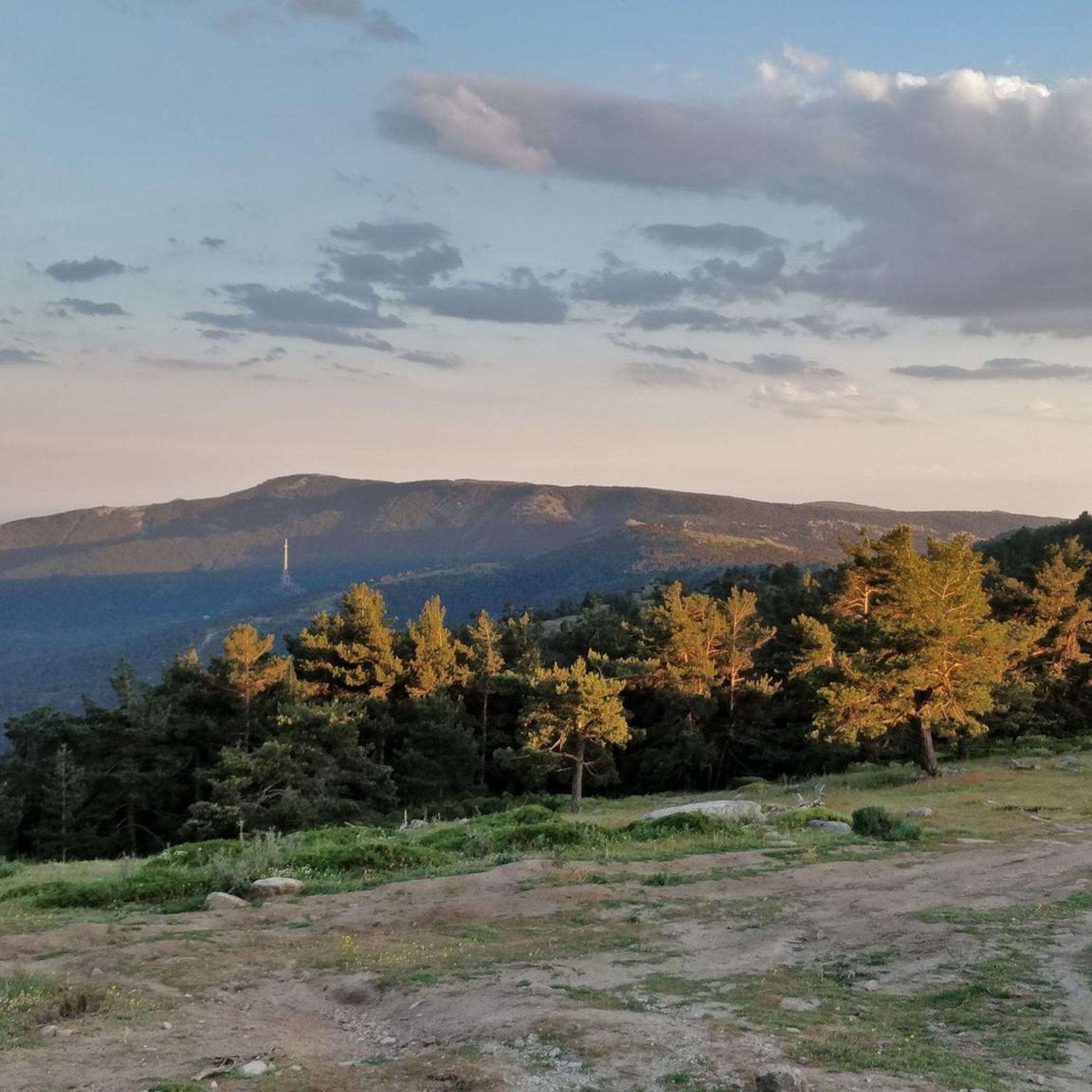
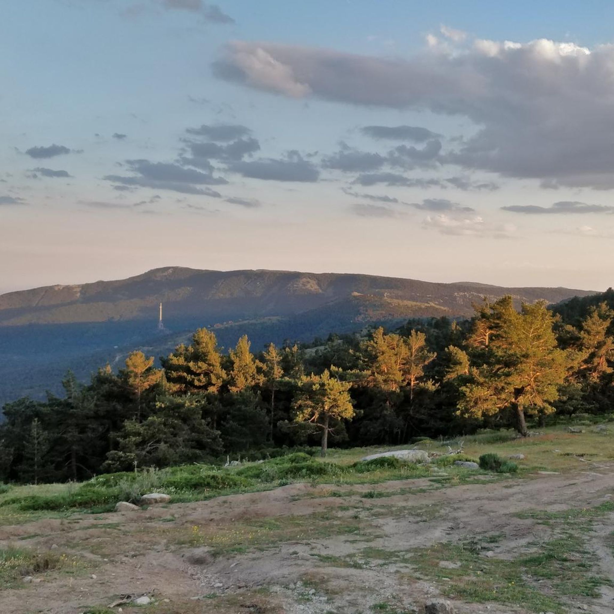
Monumental funerary complex designed in 1940 by Pedro Muguruza and Diego Méndez. Its impressive sculptures were designed by Juan de Ábalos y Taborda. The cross, located on the Risco de la Nava, is 150 meters high with arms measuring 24 meters each. It is the tallest cross in Christendom.
1
0
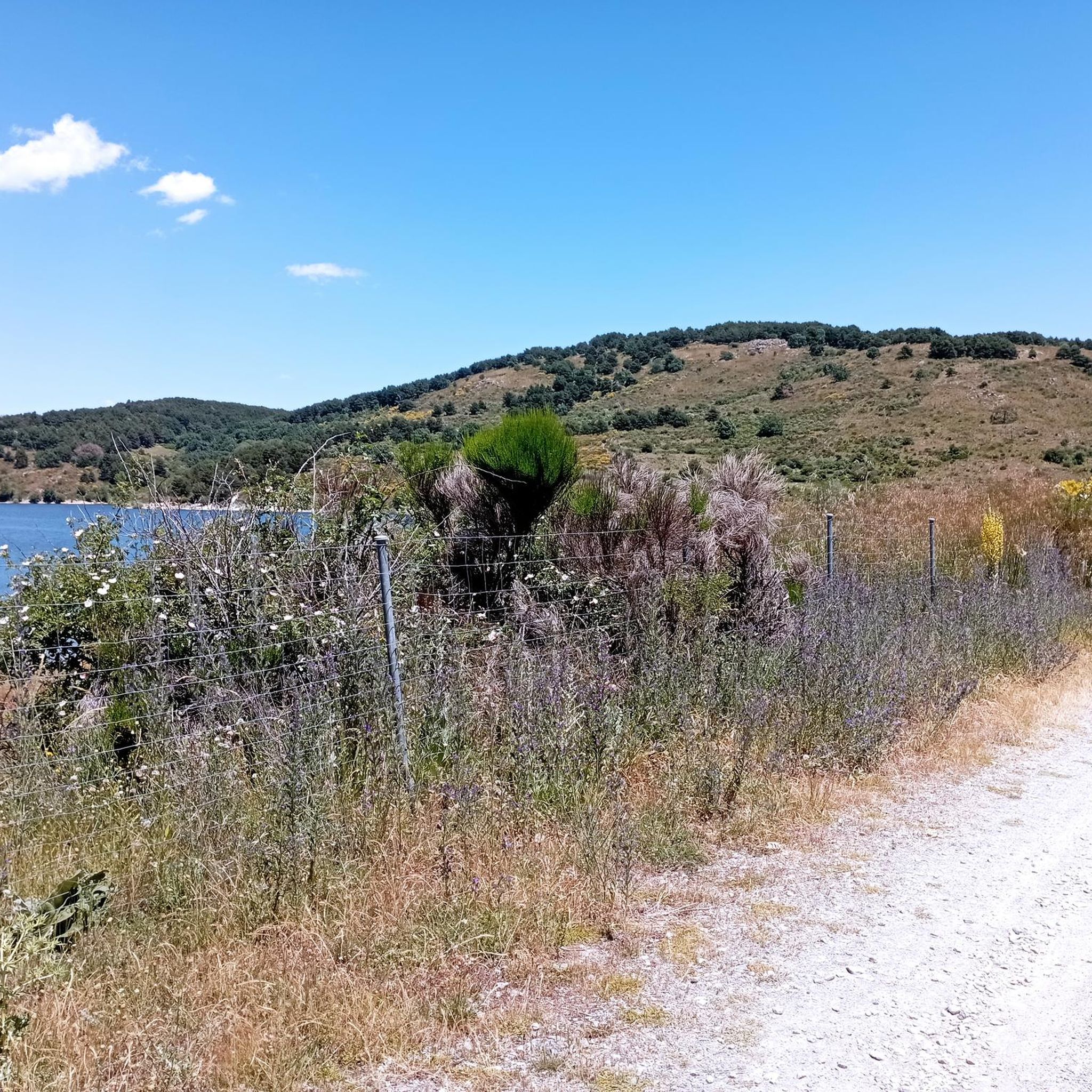
A small reservoir located above the Aceña reservoir, about 250 m higher in the Sierra de Malagón. From this reservoir, you can access the Valiente Cave.
0
0

The Chubieco Meadows with the nearby stream of the same name, are a flat place that invites peace and tranquility.
0
0
Alto de Cueva Valiente is a place from which you can see wonderful views in every direction.
0
0

Cueva Valiente is a mountain located in the Sierra de Guadarrama, part of the Central System. A popular route starts from San Rafael and takes approximately 4 hours in total to reach Cueva Valiente and return. The trail follows a network of paths, some of which can be difficult to follow, so carrying a map or GPS is recommended. The total distance is 11.2 kilometers, with an ascent of 689 meters and an equal descent. The maximum altitude reached is 1903 meters. If you are interested in exploring this beautiful mountain, I encourage you to take the hike! 😊
2
0
This reservoir is small and charming, and supplies drinking water to the town of Peguerinos. In addition, it is part of a hydrographic network that includes the Aceña River and its tributaries. The river is dammed in the Aceña Dam, and there is also another small dam called Tobar Reservoir, which connects with the Aceña Dam and brings water to the Escorial. The area around the reservoir is ideal for activities such as hiking, bird watching and camping, and offers moments of tranquility in the middle of nature. I hope this information is useful to you! 😊
4
0
Frequently Asked Questions
What types of hiking trails can I find in Peguerinos?
Peguerinos, nestled within the Sierra de Guadarrama National Park, offers a diverse range of hiking trails. You'll find everything from gentle walks around picturesque reservoirs and through extensive pine forests to more challenging ascents to mountain peaks. The area caters to various skill levels, with 3 easy, 29 moderate, and 2 difficult routes available.
Are there any easy, family-friendly hiking routes in Peguerinos?
Yes, Peguerinos has several easy routes perfect for families or those seeking a relaxed stroll. The region's reservoirs, like La Aceña and Cañada Mojada, offer tranquil paths. For example, the Cañada Mojada Reservoir and Llanillo Loop is a moderate route that offers gentler terrain around the water, suitable for a pleasant outing.
What are some notable natural features or landmarks to see while hiking in Peguerinos?
The Peguerinos area is rich in natural beauty and historical sites. You can explore extensive pine forests, several reservoirs like La Aceña and Cañada Mojada, and even the unique granite formation of Peña de Cenicientos. Hikers can also discover mountain peaks such as Cueva Valiente and Cabeza Líjar. For specific points of interest, consider visiting Mount Abantos, the Bear Cave, or the Cabeza Líjar Summit.
Are there any circular hiking routes in Peguerinos?
Yes, many of the trails in Peguerinos are circular, allowing you to start and end at the same point. Popular options include the San Juan and Los Tientos Circular Trail, which traverses the eastern Sierra de Guadarrama National Park, and the Ascent to Cabeza Líjar and Mirador Peña del Aguila, exploring the western side of the park.
What do other hikers say about the trails in Peguerinos?
The hiking trails in Peguerinos are highly regarded by the komoot community, boasting an average rating of 4.6 stars from over 90 reviews. Hikers frequently praise the diverse landscapes, from serene reservoir loops to rewarding mountain ascents, and the well-maintained paths within the Sierra de Guadarrama National Park.
What is the best time of year to go hiking in Peguerinos?
Peguerinos offers enjoyable hiking experiences throughout the year. Spring and autumn provide pleasant temperatures and vibrant scenery, with blooming wildflowers or colorful foliage. Summer is ideal for shaded forest paths, while winter can offer snowy landscapes for those prepared for colder conditions and potential snowshoeing, especially at higher elevations.
Are there any challenging hikes for experienced trekkers in Peguerinos?
Absolutely. For experienced hikers seeking a challenge, Peguerinos offers routes with significant elevation gain and rewarding views. The ascent to peaks like Cueva Valiente (1,903 m) or Cabeza Líjar (1,823 m) provides a demanding trek. The Cueva Valiente Loop from San Rafael is a popular moderate route that includes a substantial climb.
Can I find places to eat or drink near the hiking trails in Peguerinos?
Peguerinos is a tranquil mountain village, and while specific cafes or pubs might be limited directly on the trails, the village itself offers options for refreshments and meals. It's always a good idea to check local establishments in Peguerinos for their opening hours before or after your hike.
Are there any historical sites or points of interest along the hiking routes?
Yes, Peguerinos has a rich history that can be explored on its trails. Some routes lead to the remains of the Wolfram Mine, which played a role during World War II. Additionally, certain trails traverse trenches from the Civil War, offering a poignant glimpse into the past. The area also features several shelters, such as Refugio de la Salamanca, which have their own stories.
How many hiking routes are available in the Peguerinos area?
There are over 30 hiking routes available in the Peguerinos area, offering a wide variety of distances and difficulty levels to suit different preferences. This includes 3 easy, 29 moderate, and 2 difficult trails.
What kind of views can I expect on the trails around Peguerinos?
Hiking in Peguerinos offers breathtaking panoramic views, especially from higher elevations. You can expect sweeping vistas of the Sierra de Guadarrama National Park, extensive pine forests, and the surrounding valleys. Routes like the Ascent to Cabeza Líjar and Mirador Peña del Aguila provide excellent viewpoints, and the View of the Valley of the Fallen Cross from Refugio de la Naranjera is particularly notable.
Are there any trails that feature reservoirs or water bodies?
Yes, the Peguerinos region is known for its picturesque reservoirs and lagoons. The La Aceña Reservoir is excellent for bird watching and tranquil walks, while the Cañada Mojada Reservoir offers opportunities for fishing and picnics. The Tobar and Aceña Reservoirs Loop is a great option to explore these water features.
Most popular routes around Peguerinos
Most popular attractions around Peguerinos

Get inspired with the komoot mobile app


Explore more
Browse the best Hikes in other regions.
