The best running trails around El Ordial
176
runners
13
runs
Jogging routes around El Ordial offer access to pristine natural landscapes within the Sierra Norte de Guadalajara Natural Park and the Sierra de Ayllón. The region features a tranquil environment with meadows, hills, ravines, and streams, providing varied terrain for runners. Jogging here means exploring a diverse topography with valleys, forests, and mountainous backdrops like the Sierra del Alto Rey. This area is characterized by a network of paths suitable for different running preferences.
Best jogging routes around El Ordial
…Last updated: June 28, 2026
12
runners
11.3km
02:14
760m
760m
Tackle the challenging 7.0-mile Pico Ocejon via Chorrera de Despeñalagua circular trailrunning route from Valverde de los Arroyos, gaining 2
1
runners
9.59km
01:11
150m
150m
Jog this 6.0-mile (9.6 km) moderate trail from Prádena de Atienza to a viewpoint overlooking the Cueva del Oso, gaining 478 feet.

Sign up for free
36
runners
11.8km
02:06
700m
700m
Hard run. Very good fitness required. Sure-footedness, sturdy shoes and alpine experience required.
25
runners
25.3km
03:52
1,170m
1,170m
Hard run. Very good fitness required. Sure-footedness, sturdy shoes and alpine experience required.
21
runners
21.6km
04:02
1,300m
1,300m
Hard run. Very good fitness required. Sure-footedness, sturdy shoes and alpine experience required.
Get access to more routes and recommendations from other explorers.
Sign up for free
Already have an account?
Our route recommendations are based on thousands of hikes, rides, and runs completed by other people on komoot.
Start today with a free account
Your next adventure awaits.
Login or Signup
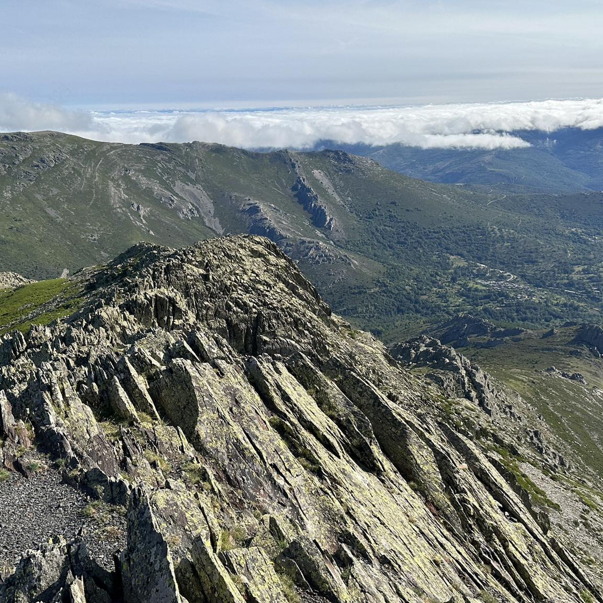
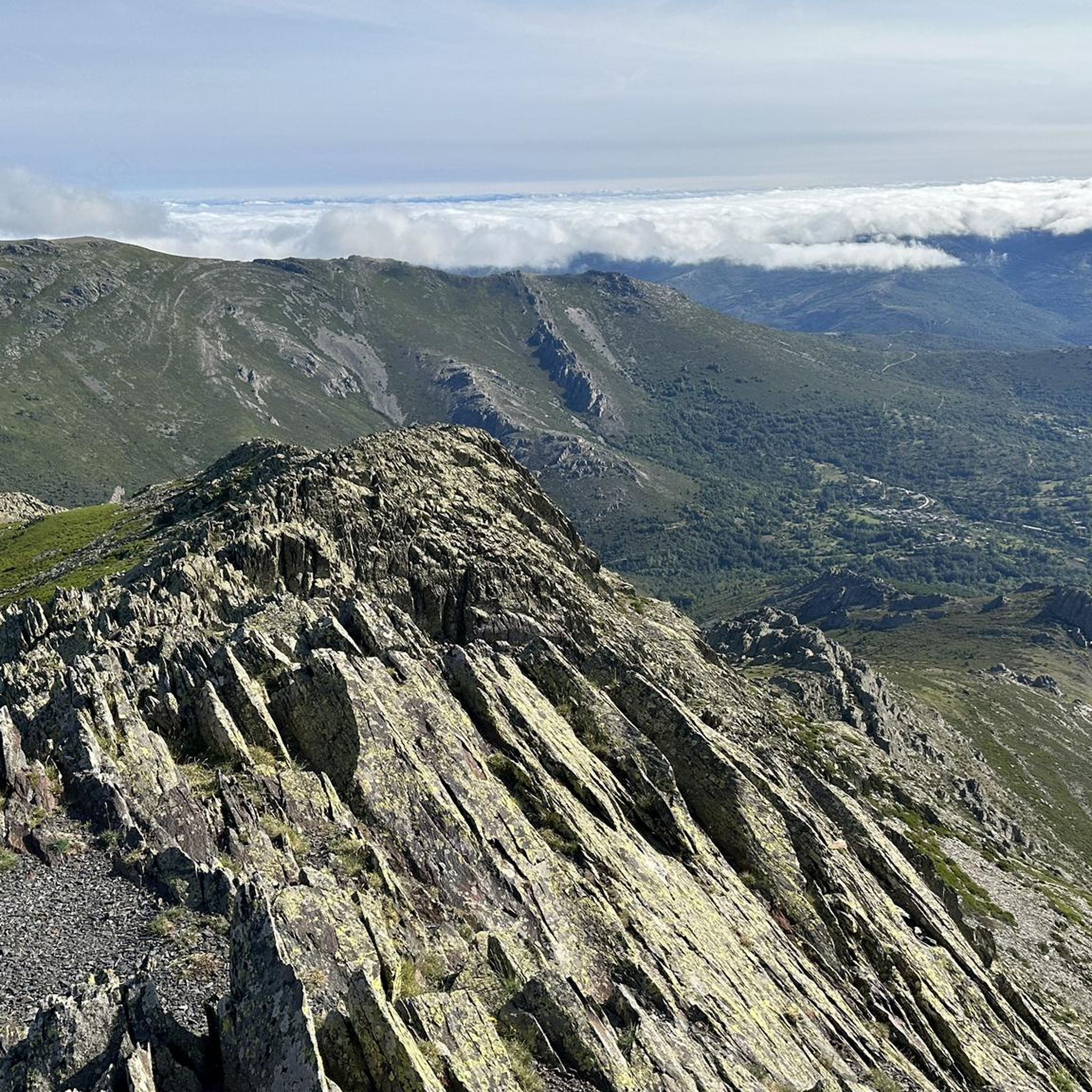
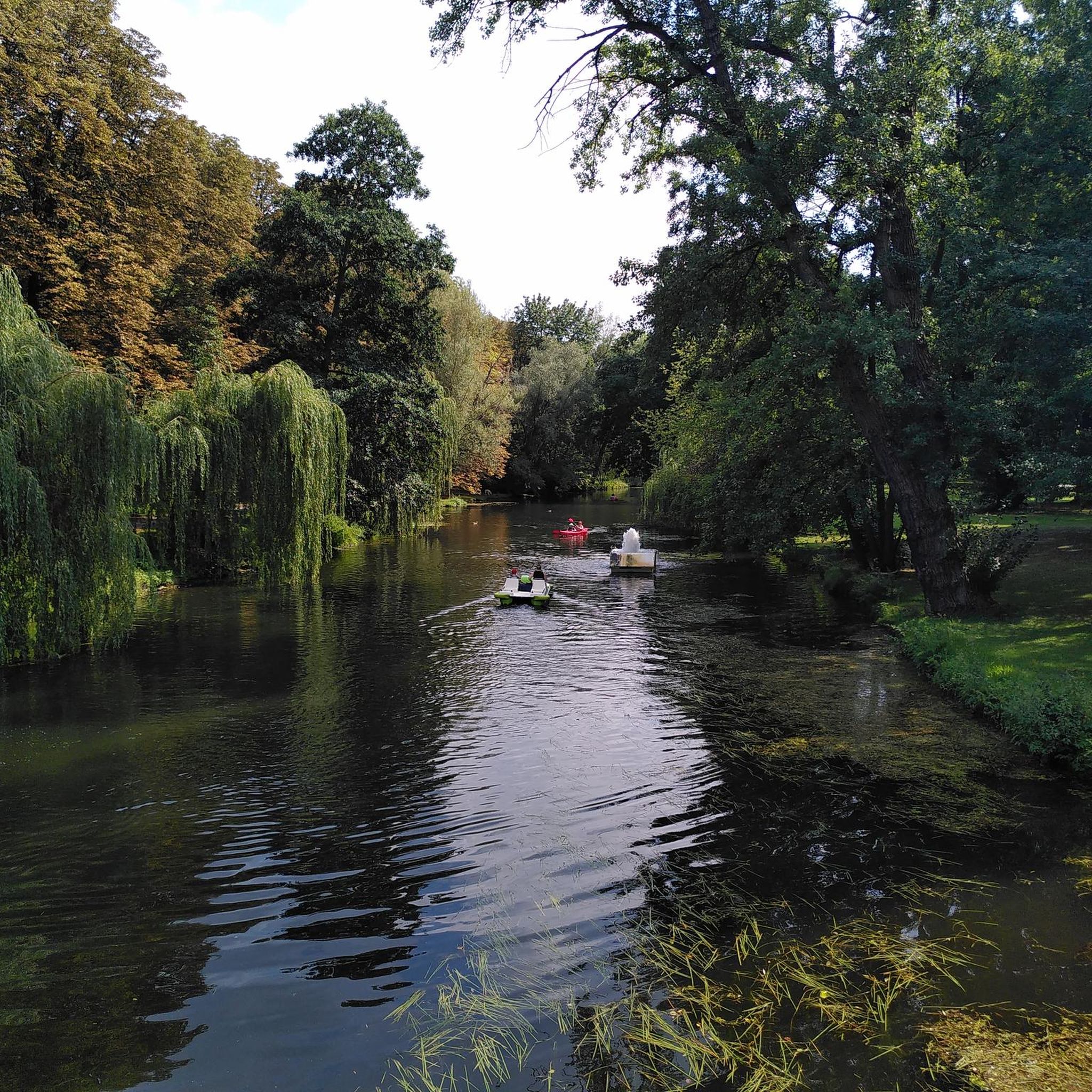

Tips from the Community

A beautiful village in northern Guadalajara, near Alto Rey, with a Romanesque church, fountain, old oven, etc. It's a very welcoming place, with a terrace in the Plaza.
0
0

The most popular route to ascend Pico Ocejón begins in Valverde de los Arroyos and is known for its scenic beauty and moderate difficulty. The hike is approximately 14.74 km and typically takes around 6 hours with stops. Along the way, hikers can enjoy spectacular views and the rich biodiversity of the area.
6
0
The most popular route to ascend Pico Ocejón begins in Valverde de los Arroyos and is known for its scenic beauty and moderate difficulty. The hike is approximately 14.74 km and typically takes around 6 hours with stops. Along the way, hikers can enjoy spectacular views and the rich biodiversity of the area.
6
0

The climb is hard, but it is worth it. Although we were not lucky enough to see all the scenery that should be seen from that height. The descent is almost harder than the ascent.
1
0
A picturesque village among the black villages of Guadalajara. The food is great and it is a good starting point for hiking and mountain biking excursions.
1
0
The ridge meadow in Majaelrayo is a very popular hiking route in the Sierra Norte de Guadalajara, Castilla-La Mancha. This route is known for its impressive views and its connection to Pico Ocejón, one of the highest peaks in the area at 2,049 meters above sea level.
4
0
At 2049 metres above sea level, it is one of the highest and most popular peaks for hiking in the region. There are several routes to climb Pico Ocejón, the most common being those starting from Majaelrayo and Valverde de los Arroyos. Both routes offer stunning landscapes and the opportunity to enjoy nature at its best.
6
0

1600mts Peña Bernarda. With 2k left, Pozo Ocejon. Not too technical climb but with good steep slopes
2
0
Frequently Asked Questions
How many running routes are available around El Ordial?
There are over 10 running routes detailed around El Ordial, offering a variety of experiences for different skill levels. The area is particularly known for its more challenging trails, with 10 difficult routes and 1 moderate option.
What kind of terrain can I expect on running trails in El Ordial?
Running trails around El Ordial feature a diverse topography, ranging from gentle paths along valleys and streams to more challenging ascents in the Sierra del Alto Rey and the broader Sierra de Ayllón. You'll encounter meadows, hills, ravines, and forests, with varied geological features like slate, quartzite, and gneiss.
Are there any easy running routes for beginners in El Ordial?
While most routes around El Ordial are rated as difficult, there is one moderate trail available: GR 167: Prádena de Atienza to Cueva del Oso Trail. This 6.0-mile (9.6 km) path offers a less strenuous option through natural landscapes, including a cave feature. Beginners should be prepared for some elevation gain even on moderate routes in this mountainous region.
What natural landmarks or attractions can I see while jogging near El Ordial?
The region around El Ordial is rich in natural beauty. You can encounter prominent features like Pico Ocejón, a significant peak offering panoramic views, and the picturesque Despeñalagua Waterfall. Other notable sights include the Enchanted City of Tamajón and unique rock formations like the Arch in the rock.
Are there any circular running routes in the area?
Yes, there are several circular running routes. A popular option is the Prádena de Atienza – Sierra de Alto Rey loop from Prádena de Atienza, which is a challenging 14.8-mile (23.9 km) trail. For those seeking a high-altitude challenge, the Pico Ocejón – Pico Ocejón loop from Valverde de los Arroyos offers stunning views over 21.5 miles (34.6 km).
Can I bring my dog on the running trails around El Ordial?
Many trails in natural parks like the Sierra Norte de Guadalajara, which encompasses El Ordial, are generally dog-friendly, especially if dogs are kept on a leash. However, specific regulations can vary, particularly in protected areas like the Hayedo de Tejera Negra Natural Park. It's always best to check local signage or park authority guidelines before heading out with your pet.
What is the best time of year for running in El Ordial?
The region's varied topography and natural park setting make it suitable for running across different seasons. Spring and autumn offer pleasant temperatures and vibrant landscapes, with autumn being particularly beautiful in areas like the Hayedo de Tejera Negra. Summer can be warm, so early morning or late afternoon runs are advisable. Winter running is possible, but higher elevations may experience snow and colder conditions, requiring appropriate gear.
Are there any running routes that pass by waterfalls?
Yes, the area features the beautiful Despeñalagua Waterfall (Chorrera de Despeñalagua). While specific running routes directly to it might vary, trails in its vicinity offer picturesque paths along rivers and streams, allowing you to incorporate a visit to this natural attraction into your run or explore nearby trails.
What makes running in El Ordial unique compared to other regions?
Running in El Ordial offers a unique experience due to its integration within the Sierra Norte de Guadalajara Natural Park and the Sierra de Ayllón. You'll find yourself immersed in a tranquil environment with diverse landscapes, from the backdrop of the Sierra del Alto Rey to the rugged relief of valleys and steep slopes. The low population density ensures a peaceful experience, and the proximity to a UNESCO World Heritage site like the Hayedo de Tejera Negra adds to its distinct charm.
What do other runners enjoy most about the trails in El Ordial?
Runners frequently praise the pristine natural landscapes and the challenging yet rewarding terrain. The opportunity to explore diverse environments, from forests to mountainous backdrops, is a major draw. The area's tranquility and the feeling of immersion in nature are also highly valued by the komoot community, with over 100 runners having explored these varied trails.
Are there options for family-friendly running or walking trails near El Ordial?
While many routes are rated difficult, the region's extensive network of footpaths within the natural parks offers varying levels of difficulty. Families might find gentler sections along valleys or streams more suitable for a leisurely jog or walk. It's recommended to check the specific route details for distance and elevation to find paths that align with your family's fitness level.
Is public transport available to access running routes around El Ordial?
El Ordial is a small municipality, and public transport options directly to trailheads might be limited. The region emphasizes its wild and natural character, suggesting that personal vehicles are often the most convenient way to reach many starting points for running routes. It's advisable to research local bus services to nearby larger towns if you plan to rely on public transport.
Are there any specific challenges or considerations for running in this region?
The Sierra de Ayllón, where El Ordial is located, features a rugged relief with steep slopes and significant elevation changes, making many routes challenging. Runners should be prepared for varied terrain, including rocky paths and forest trails. It's essential to carry enough water, especially during warmer months, and to be aware of weather changes in mountainous environments. Navigation skills or a reliable GPS device are also recommended for longer or more remote trails.
Most popular attractions around El Ordial

Get inspired with the komoot mobile app


Explore more
Browse the best Running Trails & Routes in other regions.
