The best walks and hikes around Monte Ceresa
4.6
(1202)
6,944
hikers
125
hikes
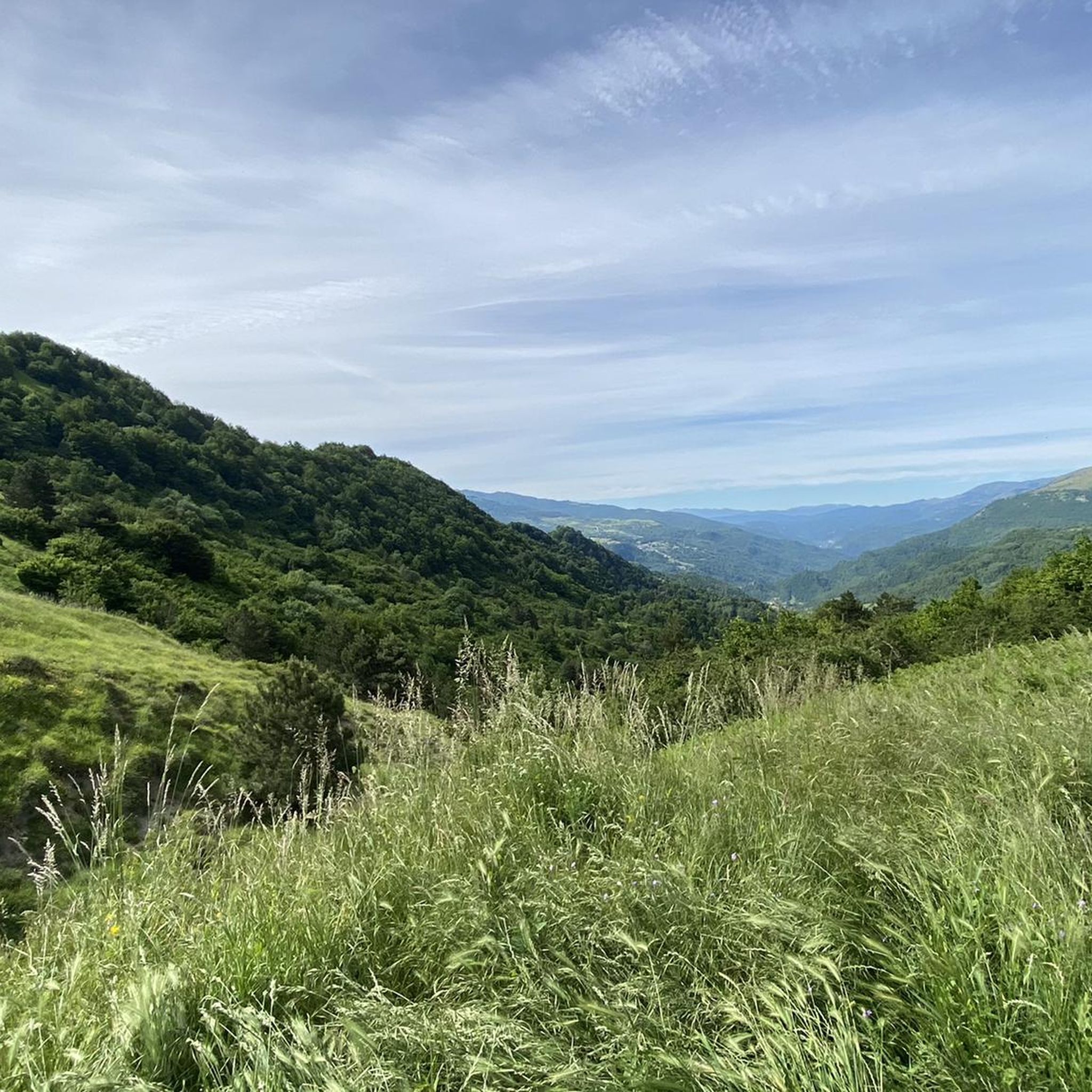
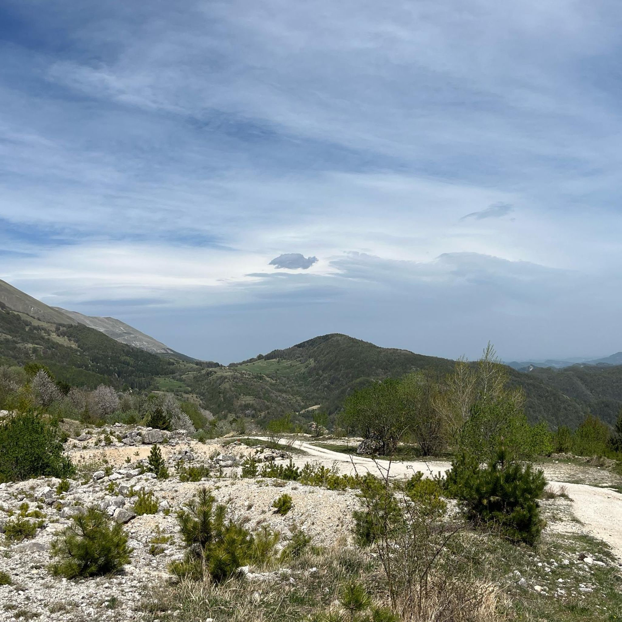
Hiking around Monte Ceresa, located in the natural park of Ascoli Piceno, offers a diverse landscape for outdoor exploration. The region is characterized by hilly terrain, featuring a mix of dense woodlands, open pastures, and valleys carved by streams. Hikers can expect varied elevations, with routes traversing both gentle slopes and more challenging ascents, often leading to panoramic viewpoints. The area is also known for ancient paths that historically connected villages, forming the basis for many current hiking trails.
Best hiking trails around Monte Ceresa
- The most popular hiking route is Petrienno Cave and Agore Waterfall Loop, an easy 2.7 miles (4.3 km) trail that takes 1 hour 28 minutes to complete. This route explores natural features including a cave and a waterfall.
- Another top favourite among local hikers is Tallacano – ring tour, a moderate 4.9 miles (7.9 km) path. This circular route provides varied terrain through the local landscape.
- Local hikers also love the Petrienno Cave – Poggio Rocchetta loop from Tallacano, a 5.3 miles (8.5 km) trail leading through forested areas and past Poggio Rocchetta, often completed in about 2 hours 39 minutes.
- Hiking around Monte Ceresa is defined by its rolling hills, wooded valleys, and the presence of natural features like caves and waterfalls. The network of trails offers options for various ability levels, from easy walks to more challenging hikes.
- The routes in Monte Ceresa are highly rated by the komoot community with an average score of 4.6 stars from over 1000 reviews. More than 6000 hikers have used komoot to explore Monte Ceresa's varied terrain.
Last updated: June 25, 2026
3
hikers
4.32km
01:28
220m
220m
Easy hike. Great for any fitness level. Easily-accessible paths. Suitable for all skill levels.
4.7
(6)
24
hikers
13.7km
05:34
900m
900m
Hard hike. Very good fitness required. Sure-footedness, sturdy shoes and alpine experience required.

Sign up for free
5.0
(1)
3
hikers
4.62km
01:25
160m
160m
Easy hike. Great for any fitness level. Easily-accessible paths. Suitable for all skill levels.
4.0
(8)
27
hikers
7.85km
02:59
490m
490m
Moderate hike. Good fitness required. Mostly accessible paths. Sure-footedness required.
4.1
(17)
60
hikers
8.66km
02:42
320m
320m
Moderate hike. Good fitness required. Easily-accessible paths. Suitable for all skill levels.
Get access to more routes and recommendations from other explorers.
Sign up for free
Already have an account?
Our route recommendations are based on thousands of hikes, rides, and runs completed by other people on komoot.
Start today with a free account
Your next adventure awaits.
Login or Signup

Tips from the Community

This waterfall is fed by the Agore ditch, which starts from the north, from about 800 meters high, to reach the point here, about 675 meters.
1
0
The Grotta del Petrienno is about 60 meters wide, and has a depth of about 15 meters. To access you pass under the waterfall.
2
0
Poggio Rocchetta has played a significant role in controlling the surrounding area in different historical periods. Interesting is his place on the Ascolani castle committee in the 14th century, his participation in papal rebellions in the 16th and 19th centuries, and his involvement in the resistance to Italian unification under the Piedmontese army. Unfortunately it was damaged by a series of earthquakes that started in 2016 and access to the area is currently restricted.
1
0
The chestnut is a type of tree closely linked to the history of Tallacano, also due to its abundant harvest. This deciduous tree is often introduced by humans for agricultural use.
2
0
Tallacano is a small village located at an altitude of 660 metres, with houses built with tuff. The town is surrounded by various mountains, for example: Monte Ceresa, Monte Monterone and Monte Scaloni.
0
0
Poggio Rocchetta is a small village located in the Rio Tallacano valley. It was once a strategically important position for controlling the valley floor. In the surroundings, the Petriennio cave and the Agore waterfall are of particular interest, which often have the town as their starting point.
1
0
Tallacano is a small village located at an altitude of 660 metres, with houses built with tuff. The town is surrounded by various mountains, for example: Monte Ceresa, Monte Monterone and Monte Scaloni.
1
0
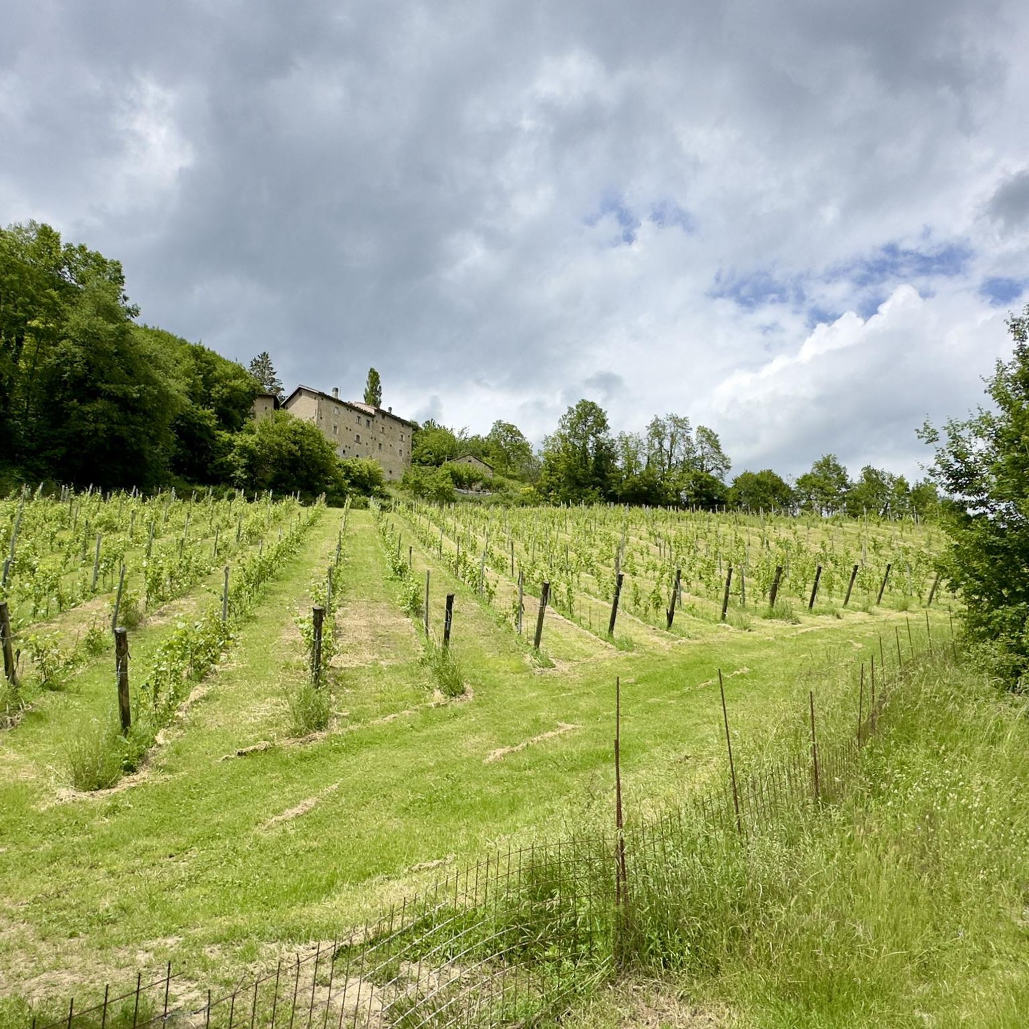
In this section of the wood there are conifers along the way, giving a magical aspect to the path.
1
0
Frequently Asked Questions
How many hiking trails are available around Monte Ceresa?
Monte Ceresa offers a diverse network of over 100 hiking trails. These routes vary in difficulty, from easy walks to more challenging ascents, ensuring options for every hiker.
Are there easy hiking trails suitable for families in Monte Ceresa?
Yes, Monte Ceresa has several easy trails perfect for families. An excellent option is the Petrienno Cave and Agore Waterfall Loop, which is 2.7 miles (4.3 km) long and explores natural features like a cave and a waterfall.
Can I find challenging hikes in the Monte Ceresa area?
Absolutely. For those seeking a more strenuous experience, Monte Ceresa offers 37 difficult routes. A notable challenging option is the Poggio Rocchetta – Tallacano Village loop from Peracchia, which covers 8.3 miles (13.4 km) with significant elevation changes.
Are there any circular hiking routes around Monte Ceresa?
Yes, many trails in Monte Ceresa are circular, allowing you to start and end at the same point. A popular choice is the Tallacano – ring tour, a moderate 4.9-mile (7.9 km) path that offers varied terrain through the local landscape.
What kind of natural features or viewpoints can I expect to see on the trails?
The trails around Monte Ceresa are known for their rolling hills, wooded valleys, and natural features. You can explore sites like the Petrienno Cave and the Agore Waterfall. Many routes also lead to panoramic viewpoints offering expansive views of the Ascoli Piceno region.
Is Monte Ceresa a dog-friendly hiking destination?
Generally, Monte Ceresa is a dog-friendly area, with many trails suitable for hiking with your canine companion. However, it's always advisable to keep dogs on a leash, especially in areas with livestock or protected wildlife, and to check specific trail regulations before you go.
What is the best time of year to go hiking in Monte Ceresa?
The best time to hike in Monte Ceresa is typically during spring (April-June) and autumn (September-October) when the weather is mild and the landscapes are vibrant with wildflowers or autumn colors. Summers can be warm, while winters may bring snow to higher elevations, making some trails more challenging.
Are there any winter hiking options in Monte Ceresa?
While some higher elevation trails may be covered in snow during winter, many lower and moderate routes remain accessible. It's crucial to check local weather conditions, trail status, and be prepared with appropriate winter hiking gear, including sturdy boots and layers, if planning a winter hike.
Where can I find parking for Monte Ceresa hikes?
Parking is generally available near trailheads and in the small villages surrounding Monte Ceresa, such as Tallacano or Peracchia. Specific parking information can often be found on individual route descriptions on komoot, or by checking local signage upon arrival.
What do other hikers enjoy most about Monte Ceresa?
Hikers consistently rate the Monte Ceresa trails highly, with an average score of 4.6 stars from over 1000 reviews. Many praise the diverse landscape, the mix of woodlands and open pastures, and the presence of unique natural features like caves and waterfalls. The well-maintained network of trails also receives positive feedback.
Are there any cafes or places to eat near the hiking trails?
While the immediate trailheads might not have extensive facilities, you can find cafes and trattorias in the nearby villages such as Tallacano or Acquasanta Terme. These local establishments offer opportunities to refuel with traditional Italian fare and refreshments after your hike.
Can I combine hiking with exploring local villages?
Yes, many routes in Monte Ceresa pass through or start from charming local villages. For example, the Petrienno Cave – Poggio Rocchetta loop from Tallacano begins near Tallacano, allowing you to experience both the natural beauty and the local culture.
Most popular routes around Monte Ceresa

Get inspired with the komoot mobile app


Explore more
Browse the best Hikes in other regions.
